The best MTB trails in Mount Rainier Wilderness
5.0
(1)
29
riders
5
rides
Mountain biking in Mount Rainier Wilderness offers challenging routes on park roads and former roadbeds, as traditional singletrack is largely restricted within the designated Wilderness areas. The region is dominated by Mount Rainier, an active, glaciated volcano, surrounded by ancient forests and subalpine wildflower meadows. While much of the park prohibits bicycles on hiking trails, specific multi-use routes and park roads provide opportunities for scenic and demanding rides through diverse ecosystems. These routes often feature significant elevation gains and traverse…
Last updated: June 29, 2026
5.0
(1)
3
riders
25.8km
03:28
1,240m
1,240m
Hard mountain bike ride. Very good fitness required. Suitable for all skill levels.
1
riders
38.7km
03:26
700m
700m
Moderate mountain bike ride. Good fitness required. Suitable for all skill levels.

Sign up for free
17
riders
49.0km
05:45
1,660m
1,660m
Hard mountain bike ride. Very good fitness required. Suitable for all skill levels.
7
riders
33.6km
03:49
1,210m
1,210m
Hard mountain bike ride. Very good fitness required. Suitable for all skill levels.
1
riders
29.1km
03:30
1,130m
1,130m
Hard mountain bike ride. Very good fitness required. Suitable for all skill levels.
Our route recommendations are based on thousands of hikes, rides, and runs completed by other people on komoot.
Start today with a free account
Your next adventure awaits.
Login or Signup
Popular around Mount Rainier Wilderness
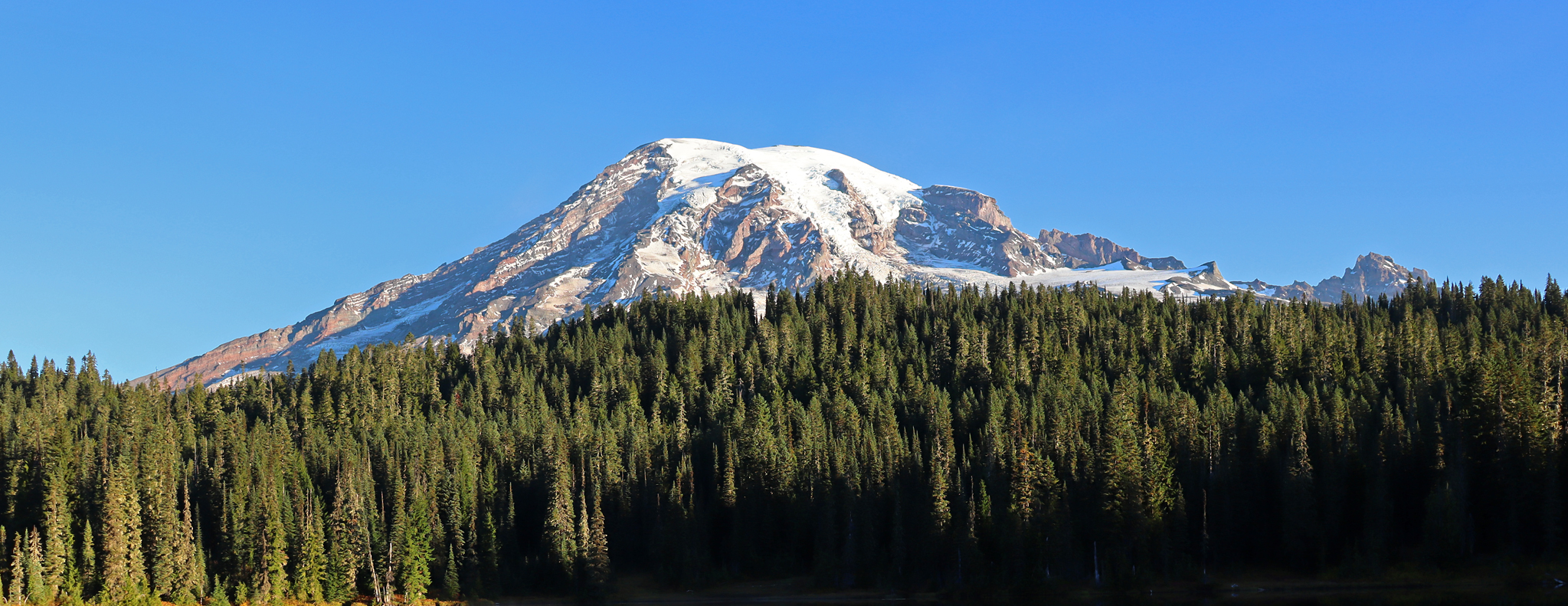
Wonderland Trail — 93 iconic miles around Mount Rainier
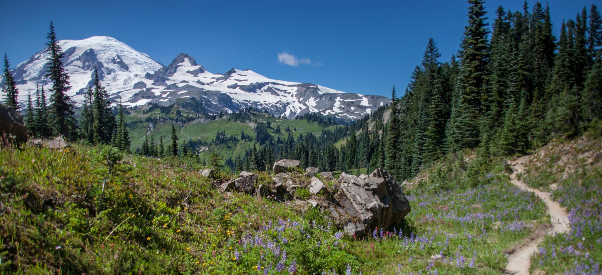
Wonderland Trail — 3-Day fastpacking through the dreamscape

The pristine beauty of the US National Parks
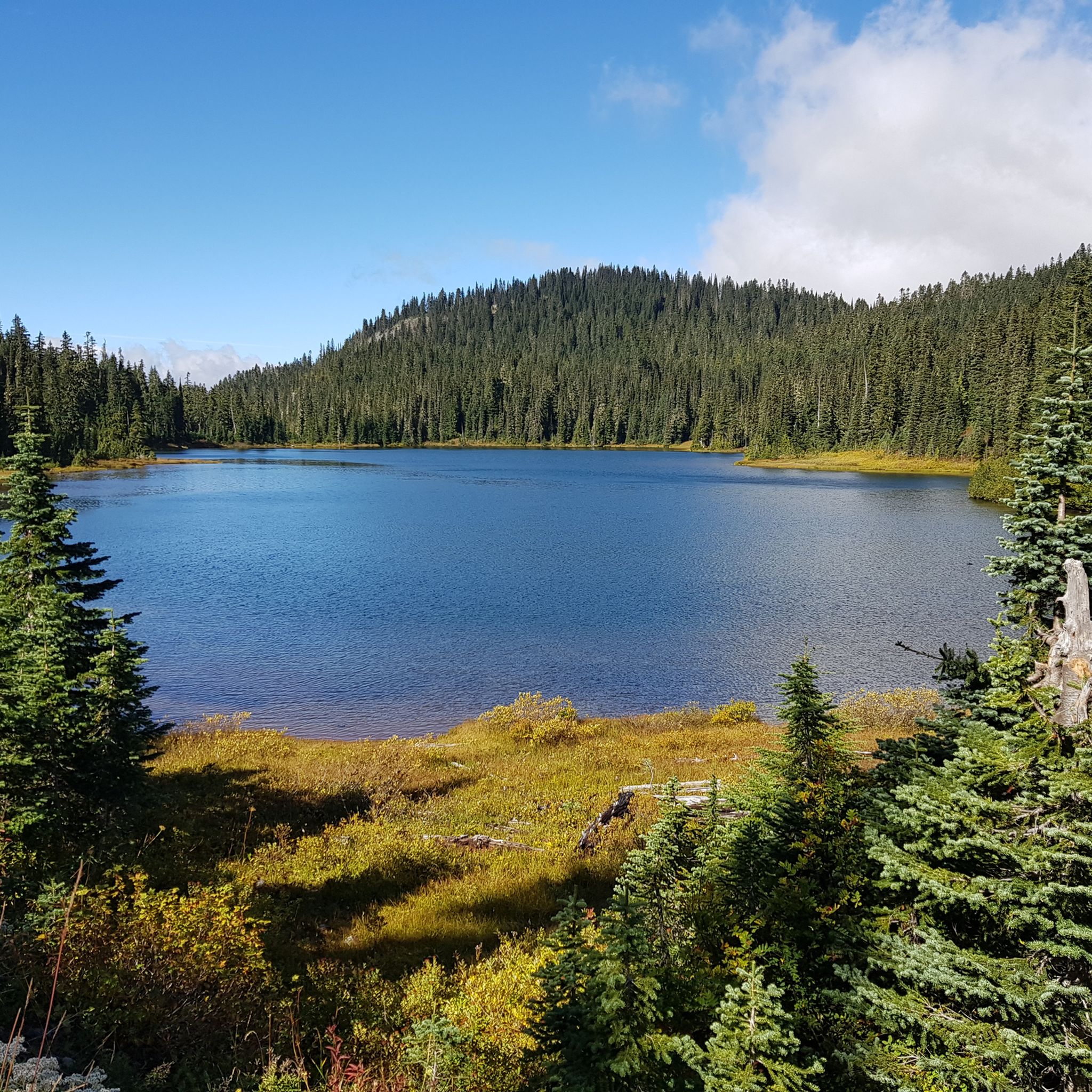
Hiking in Mount Rainier Wilderness
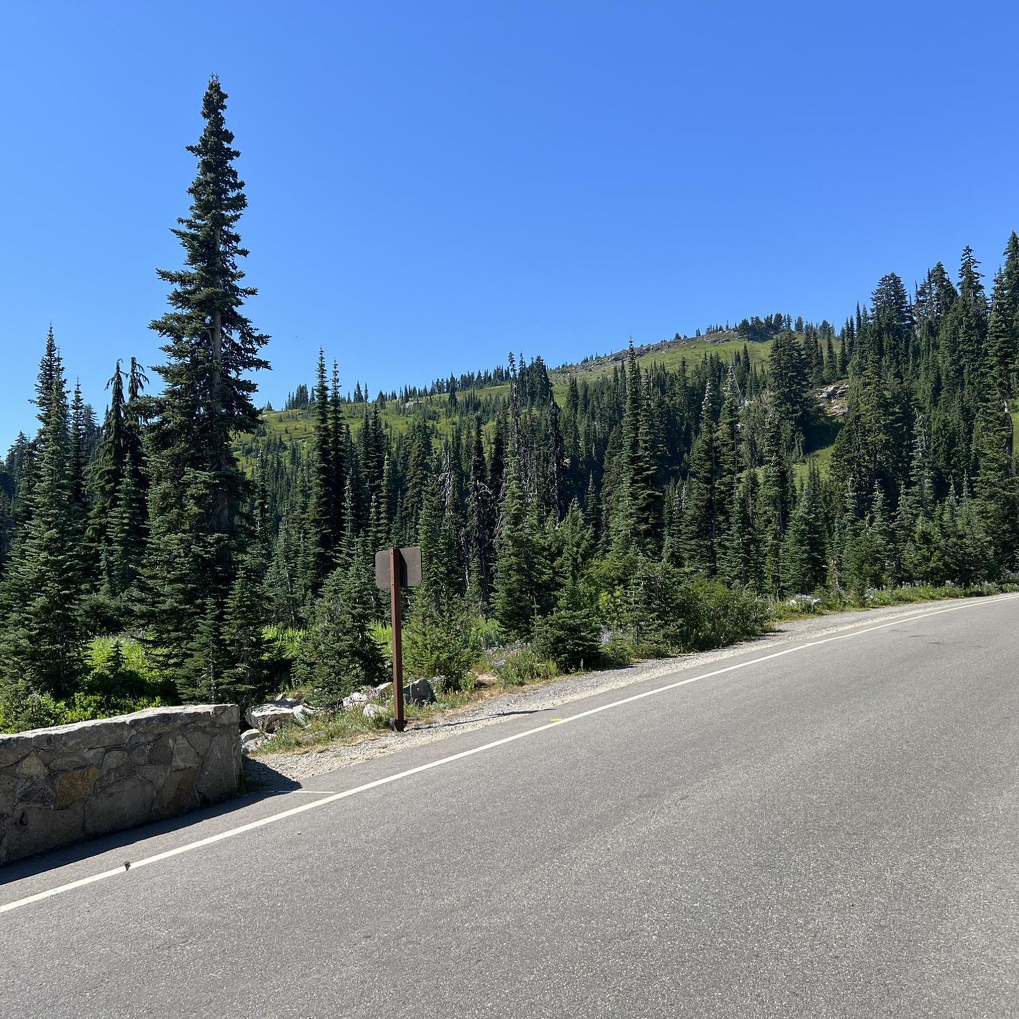
Road Cycling Routes in Mount Rainier Wilderness
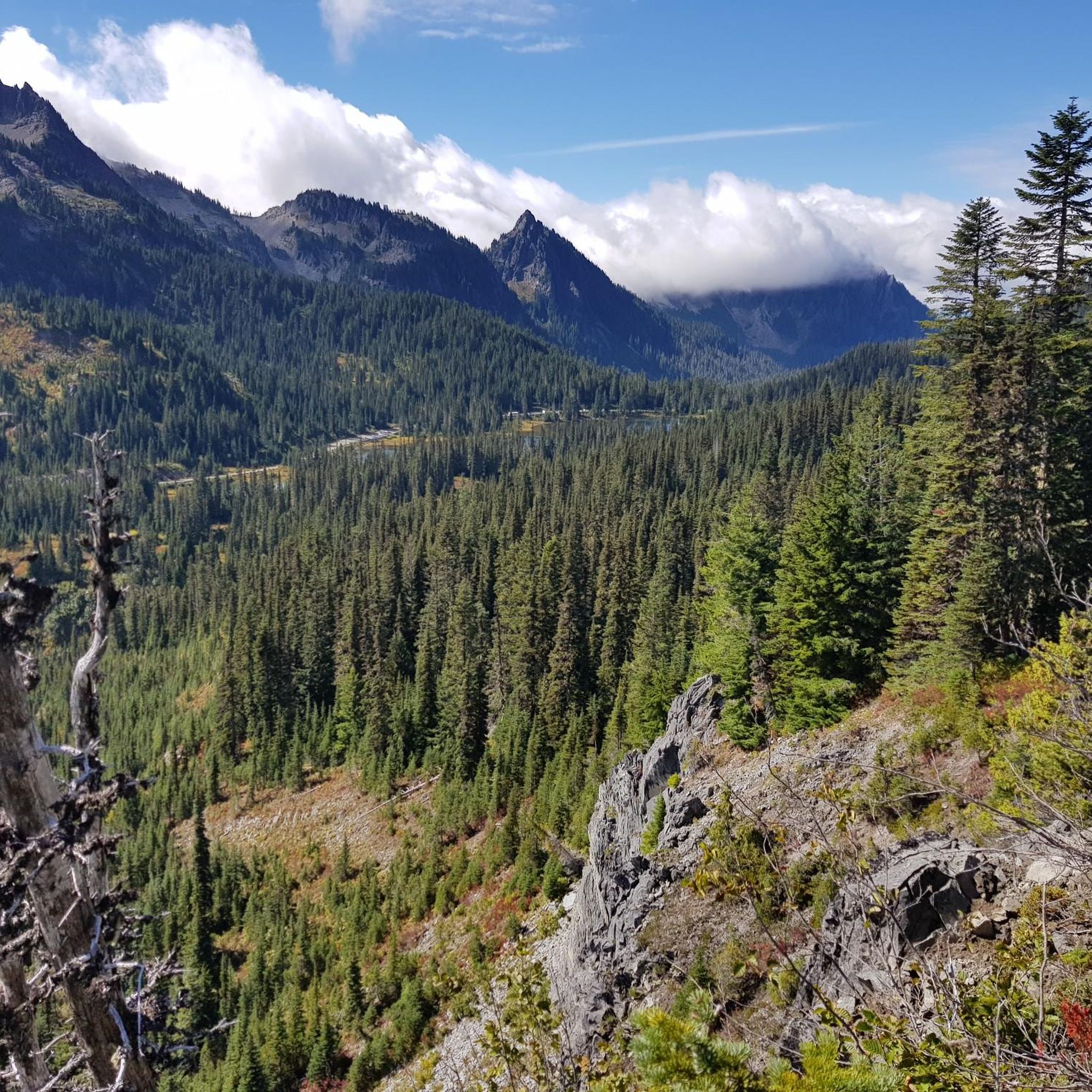
Cycling in Mount Rainier Wilderness
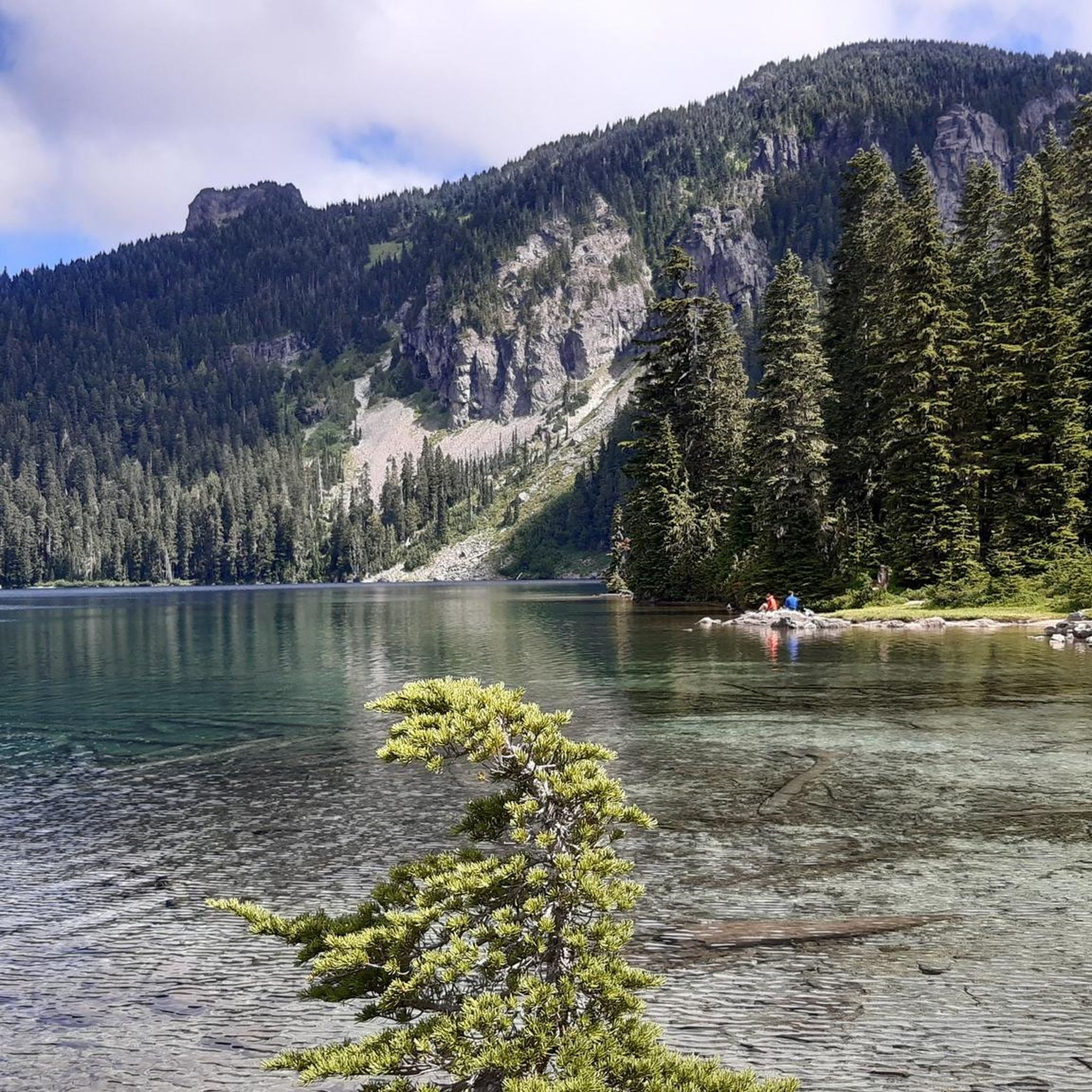
Running Trails in Mount Rainier Wilderness


Tips from the Community

While mountain bikers can ride to Sun Top via the Sun Top Trail, if you prefer another way to challenge yourself, you can take Forest Road 7315—a gravel road with gentler curves that climbs to the top, offering a rewarding adventure with great views. The road is typically open to vehicle and bike traffic from late spring through early fall—usually from around May to September—but the gate at the summit may be closed outside these months or when parking is full. It's best to check current road conditions with the U.S. Forest Service before heading out.
0
0
This viewpoint along Sun Top Trail is tucked away in the woods, offering a view of Mount Rainier surrounded by forest. You’ll likely have it all to yourself, so take a moment to just enjoy it.
0
0
This is a solid backcountry ride with a mix of steady climbing, creek crossings, and rooty singletrack. The trail isn’t groomed, but it’s rideable and offers some good flow on the descent. Expect a remote feel and keep an eye out for wet spots, especially early in the season.
0
0

This lookout point offers nice views down into the valley, plus (on clear days) a little peep of Mount Rainier's snowy summit lurking behind the hills.
0
0
You can't see Snoquera Falls from here, but you do get great views down into the valley and, on the far side of the valley, Sun Top Lookout.
0
0
The multi-use route up this peak sports long, winding switchbacks in the forest understory, but once you burst out of the trees the views are amazing.
0
0

The Suntop Trail is a challenging trail that takes you up to the viewpoint on the peak of Suntop. You are treated to views as you climb higher on the trail, so there are several good spots to stop for a quick break to enjoy the tranquil surroundings.
0
0
Great viewpoint with a wonderful view onto Mount Rainier. There is a small cabin at the top, which you can go into to get out of the wind or cold.
0
0
Frequently Asked Questions
Is mountain biking permitted on all trails within Mount Rainier Wilderness?
No, mountain biking is largely restricted within the designated Wilderness areas of Mount Rainier National Park. Approximately 97% of the park is designated as wilderness, where bicycles are prohibited on hiking trails to preserve their natural character. However, cyclists can enjoy challenging and scenic rides on park roads and specific multi-use routes, such as Westside Road and the Carbon River Trail (a former road).
For more detailed information on bicycling regulations within the park, you can visit the official NPS website: nps.gov/mora/planyourvisit/bicycling.htm.
What types of mountain bike trails can I expect near Mount Rainier Wilderness?
While traditional singletrack mountain biking is restricted within the Wilderness, the broader region offers diverse options. You'll find challenging rides on park roads with significant elevation gains, routes through old-growth forests, and former roadbeds like the Carbon River Trail. For dedicated singletrack experiences, areas *outside* the National Park boundaries, such as the "410 Trails" near Greenwater, provide technical singletrack, scenic forest rides, and challenging descents with views of Mount Rainier.
Are there any easy mountain bike trails suitable for beginners or families in the Mount Rainier Wilderness area?
The routes directly within the Mount Rainier Wilderness area, primarily on park roads and former roadbeds, often involve significant elevation gains and can be quite challenging. For easier, family-friendly options, you might need to look at trails slightly further afield or consider the less strenuous sections of multi-use routes like the Carbon River Trail, keeping in mind that the overall terrain can still be demanding.
What are some popular mountain bike routes with significant elevation gain in the region?
Many routes in the Mount Rainier area feature challenging climbs. For instance, the Forest Road 7315 – Suntop Lookout loop from Ranger Creek Trailhead is a difficult 30.5-mile trail with over 1600 meters of elevation gain. Another challenging option is the Suntop Trail (out-and-back) – Mount Rainier National Park, which covers 16 miles with over 1200 meters of ascent.
Are there any circular mountain bike routes available?
Yes, there are several circular routes that allow you to experience varied terrain. A popular moderate option is the Silver Creek Pass loop from Oscar Brown Cabin, which navigates through forested sections and open areas over 24 miles. For a more difficult and longer loop, consider the Little Ranger Peak – South Snoquera Point loop from Snoquera Falls.
What kind of wildlife might I encounter while mountain biking in Mount Rainier Wilderness?
Mount Rainier's diverse ecosystems are home to a variety of wildlife. While cycling, you might spot deer, elk, and various bird species. Keep an eye out for smaller mammals in the forests and meadows. Always maintain a safe distance and never feed wild animals.
What do other mountain bikers enjoy most about the trails in Mount Rainier Wilderness?
The area is highly rated by the komoot community, with an average score of 5.0 stars. Reviewers often praise the challenging climbs, the stunning views of Mount Rainier, and the immersive experience of riding through ancient forests and diverse ecosystems. The sense of accomplishment after tackling the significant elevation gains is also frequently highlighted.
Are there any specific permits required for mountain biking in Mount Rainier Wilderness?
While general park entrance fees apply, specific permits for bicycling on designated roads and former roadbeds within Mount Rainier National Park are not typically required beyond standard park access. However, it's always advisable to check the official National Park Service website for the most current regulations and any potential changes before your visit. For wilderness camping and hiking permits, which are separate, you can find information at nps.gov/mora/planyourvisit/wilderness-camping-and-hiking.htm.
What are some interesting landmarks or natural attractions I can explore near the mountain bike routes?
The region around Mount Rainier offers numerous breathtaking sights. You can visit stunning mountain passes like Chinook Pass and Cayuse Pass. For panoramic views, consider the Faraway Rock Overlook or the Mount Fremont Fire Lookout. The park is also famous for its waterfalls, such as Narada Falls and Christine Falls, and its glaciers, like the Nisqually Glacier.
What is the best time of year for mountain biking in Mount Rainier Wilderness?
The best time for mountain biking in the Mount Rainier area is typically during the warmer months, from late spring through early autumn (roughly June to September), when park roads are open and free of snow. Summer offers the most reliable weather and access to higher elevations, with vibrant subalpine wildflower meadows. Always check current road conditions and weather forecasts before heading out, as conditions can change rapidly in mountainous terrain.
Are there any less crowded mountain bike trails or areas to explore?
While popular areas like Paradise and Sunrise can attract crowds, especially on park roads, exploring routes like Westside Road (which is often closed to vehicles but open to bikes) or the Carbon River Trail can offer a more secluded experience. Additionally, trails *outside* the immediate National Park boundaries, such as those around Packwood Lake, might provide a quieter ride with occasional views of Mount Rainier.
Can I find loop mountain bike trails that include lakes or other scenic water features?
Yes, some routes offer scenic water features. For example, the Granite Lake – Bertha May Lake loop from Big Creek Campground is a difficult 29-mile route that takes you past beautiful lakes. The park's glacial meltwater also feeds numerous waterfalls and rivers, such as the Paradise River Crossing, which you might encounter on various routes.
Most popular routes in Mount Rainier Wilderness
Most popular attractions in Mount Rainier Wilderness

Get inspired with the komoot mobile app


Explore more
Browse the best MTB trails in other regions.
