The 8 Most Amazing Peaks around Oerlinghausen
Best mountain peaks around Oerlinghausen are found within the scenic Teutoburger Forest hills, offering numerous elevated points for outdoor activities. The region is characterized by forested landscapes and provides expansive views over the surrounding area. Oerlinghausen combines a historical atmosphere with its natural surroundings. These prominent elevations near Oerlinghausen offer opportunities for hiking and exploring local history.
Best mountain peaks around Oerlinghausen
- The most popular mountain peaks is Bielstein Transmitter, a man-made monument that is a central broadcasting system…
Last updated: October 4, 2026
Bielstein Transmitter
Highlight • Monument
Translated by Google •
Tip by

Lewenberg
Highlight • Summit
Translated by Google •
Tip by

Sign up now to discover places like this
Get recommendations on the best single tracks, peaks, & plenty of other exciting outdoor places.
Hermannsberg Mountain Bike Trail
Highlight • Trail
Translated by Google •
Tip by

Hellegrundsberg
Highlight (Segment) • Summit
The path splits high up - so there are various descents - it is steep and rocky downhill.
Translated by Google •
Tip by
Auf dem Polle (Highest Peak of Bielefeld)
Highlight (Segment) • Summit
Translated by Google •
Tip by
Sign up for free to discover even more peaks around Oerlinghausen.
Already have an account?
Start today with a free account
Your next adventure awaits.
Popular around Oerlinghausen
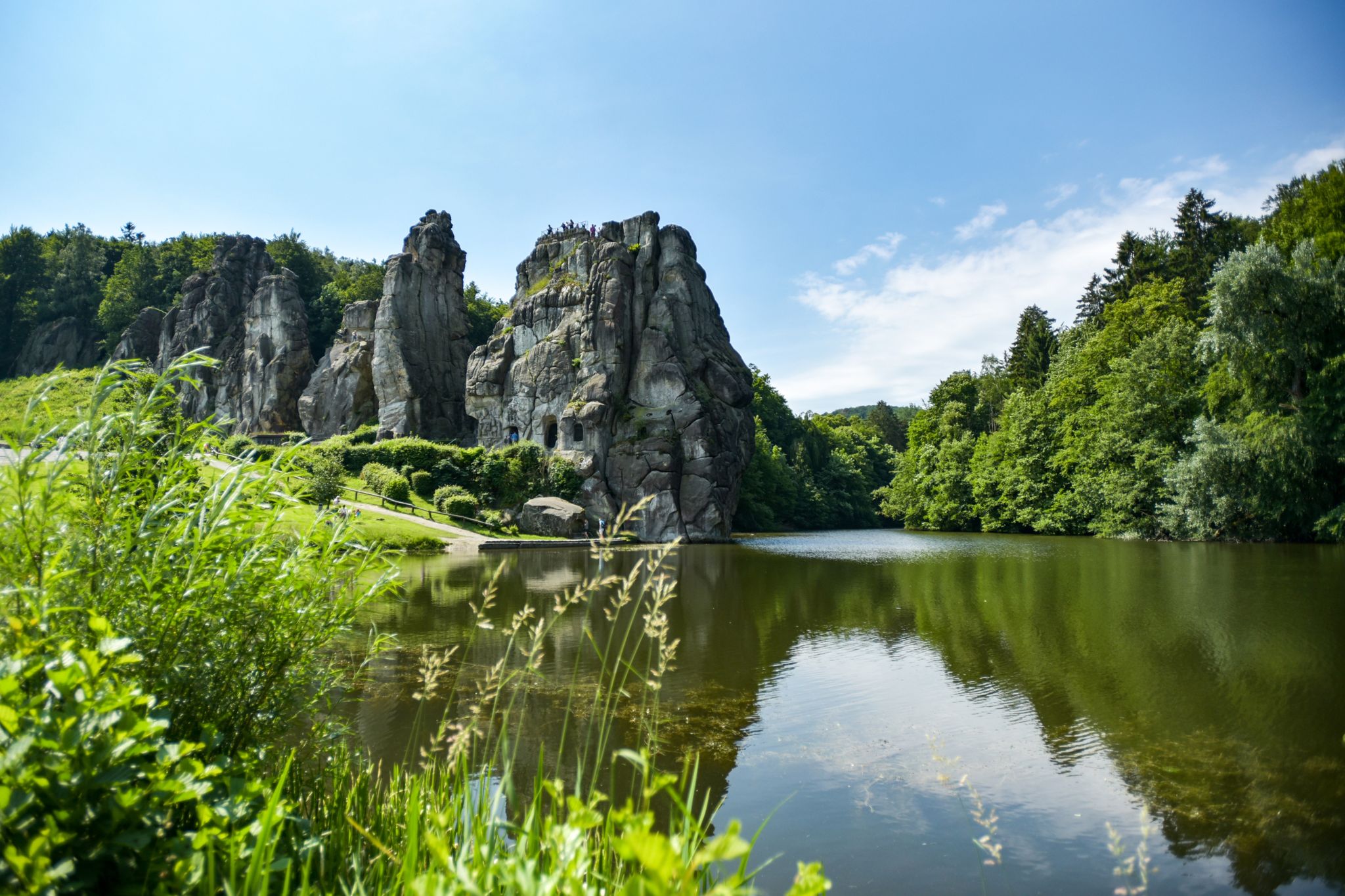
Hiking Germany's Hermannsweg – In the footsteps of the Cheruscan
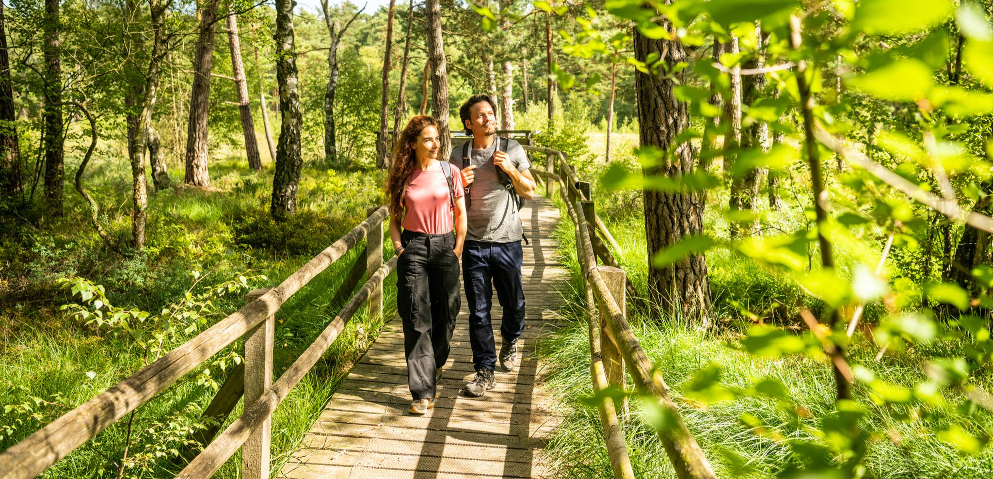
Lippe Quality Trails – hiking in the land of Hermann
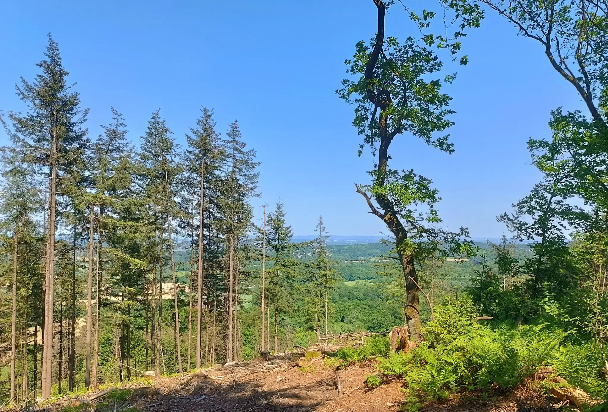
Nature and spectacular views – Germany’s Teutoburg Forest trails
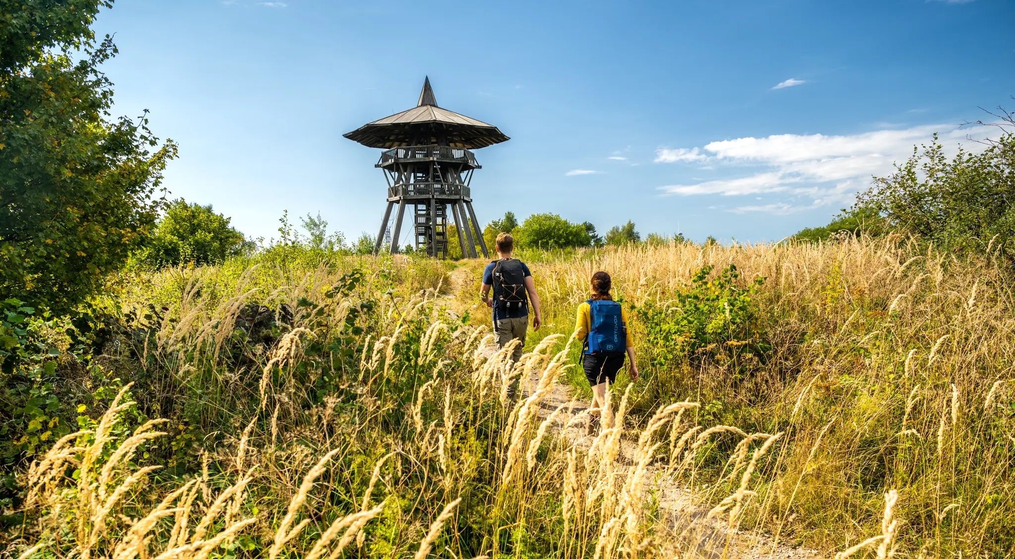
Culture and nature from Rheine to Marsburg – Hermann Heights Trail
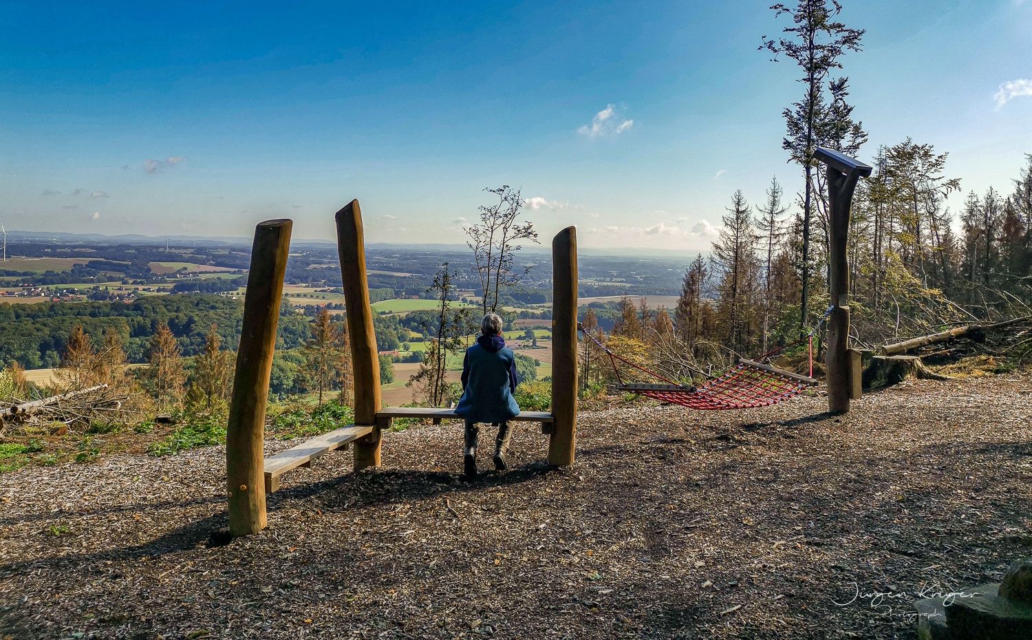
Close to the Hermann Heights Trail – 18 circulars in the Teutoburg Forest
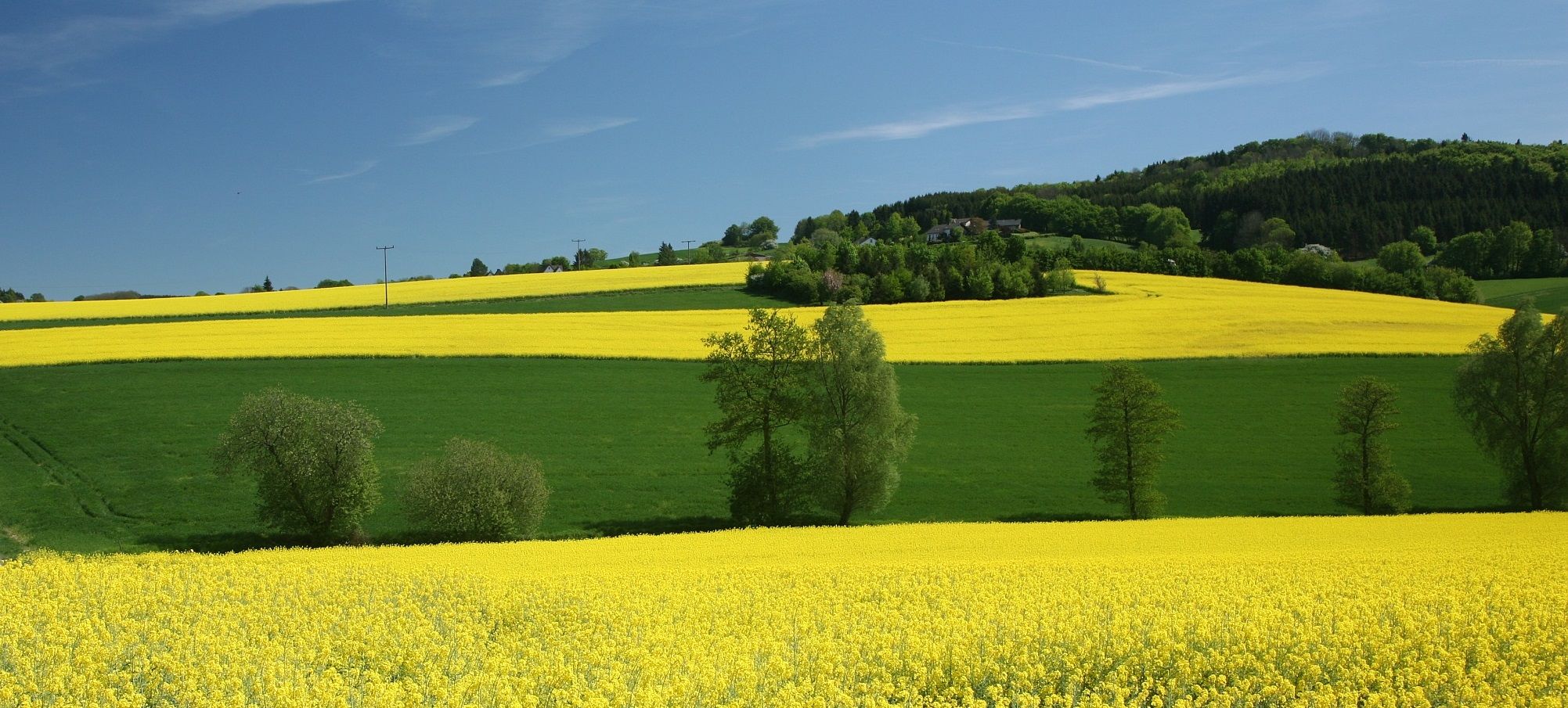
Sport, fun and Romanticism – nature walks in the Teutoburg Forest
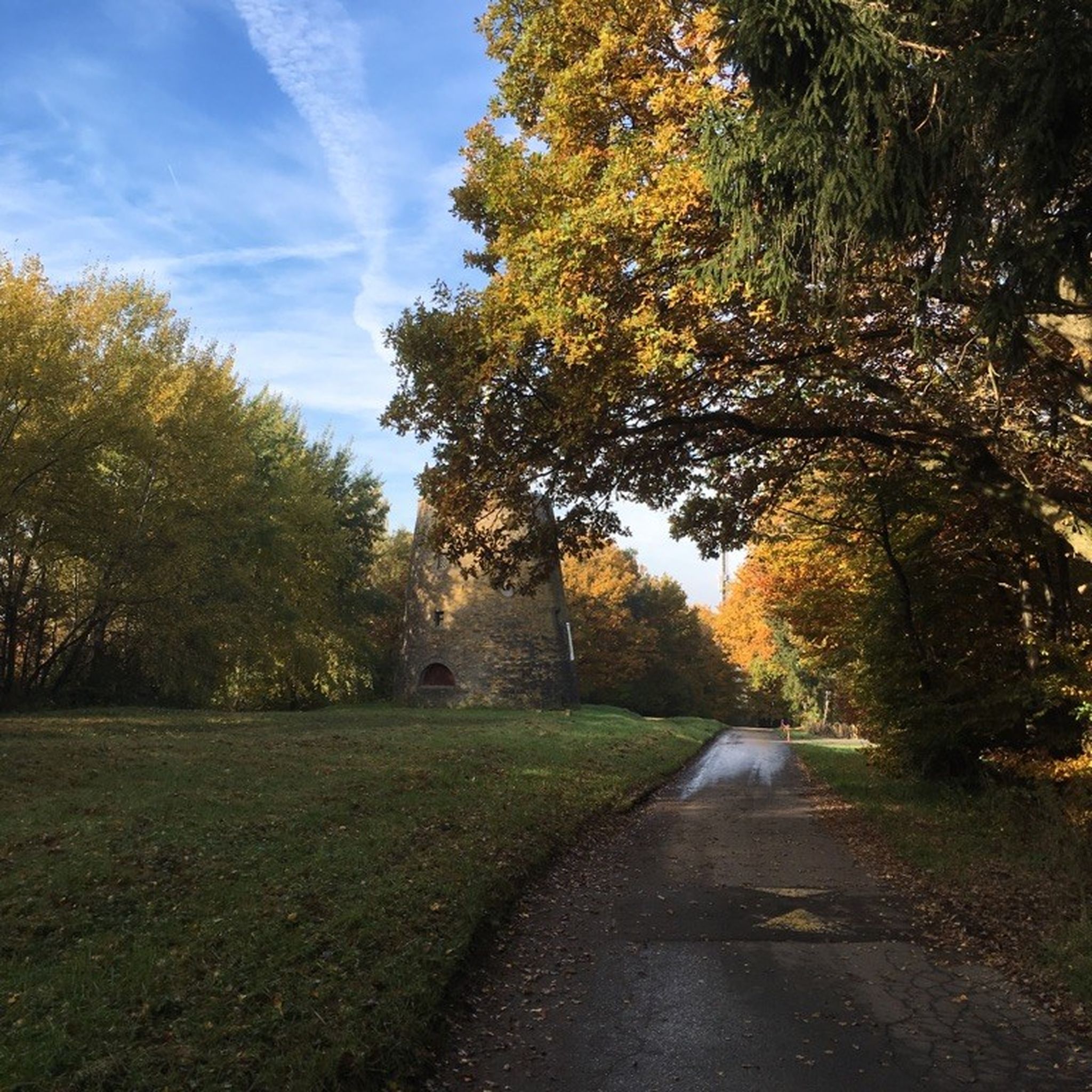
Hiking around Oerlinghausen
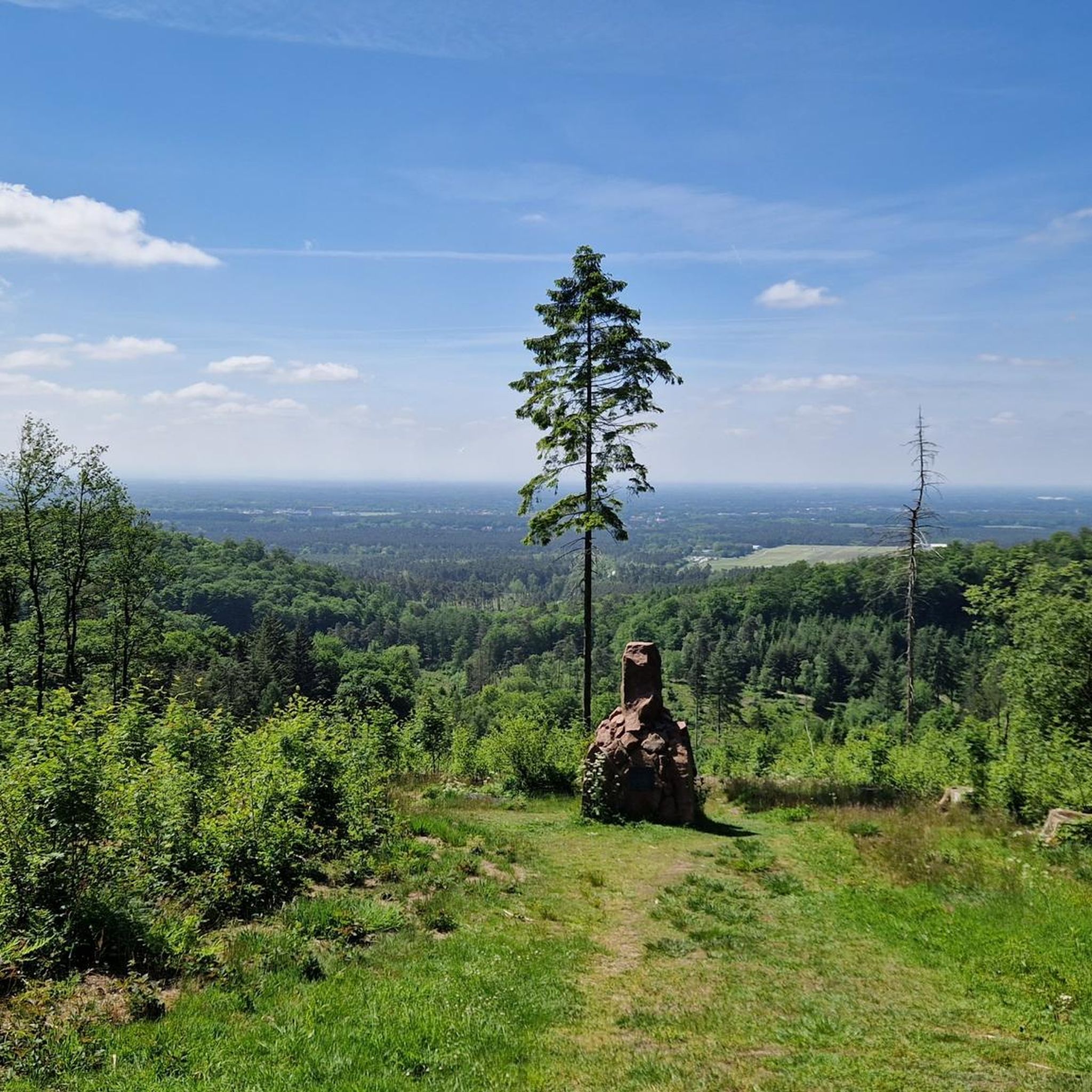
Running Trails around Oerlinghausen
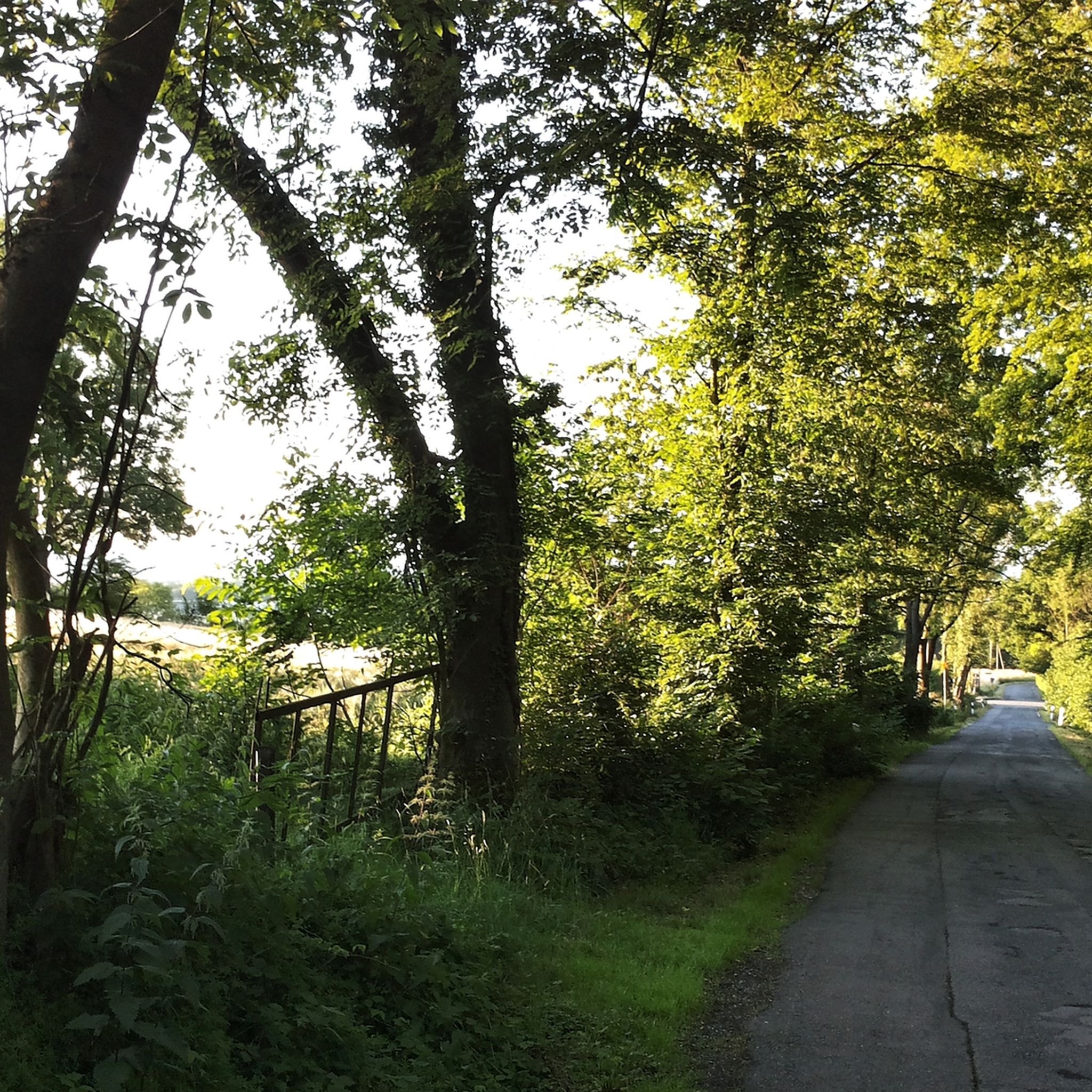
Cycling around Oerlinghausen
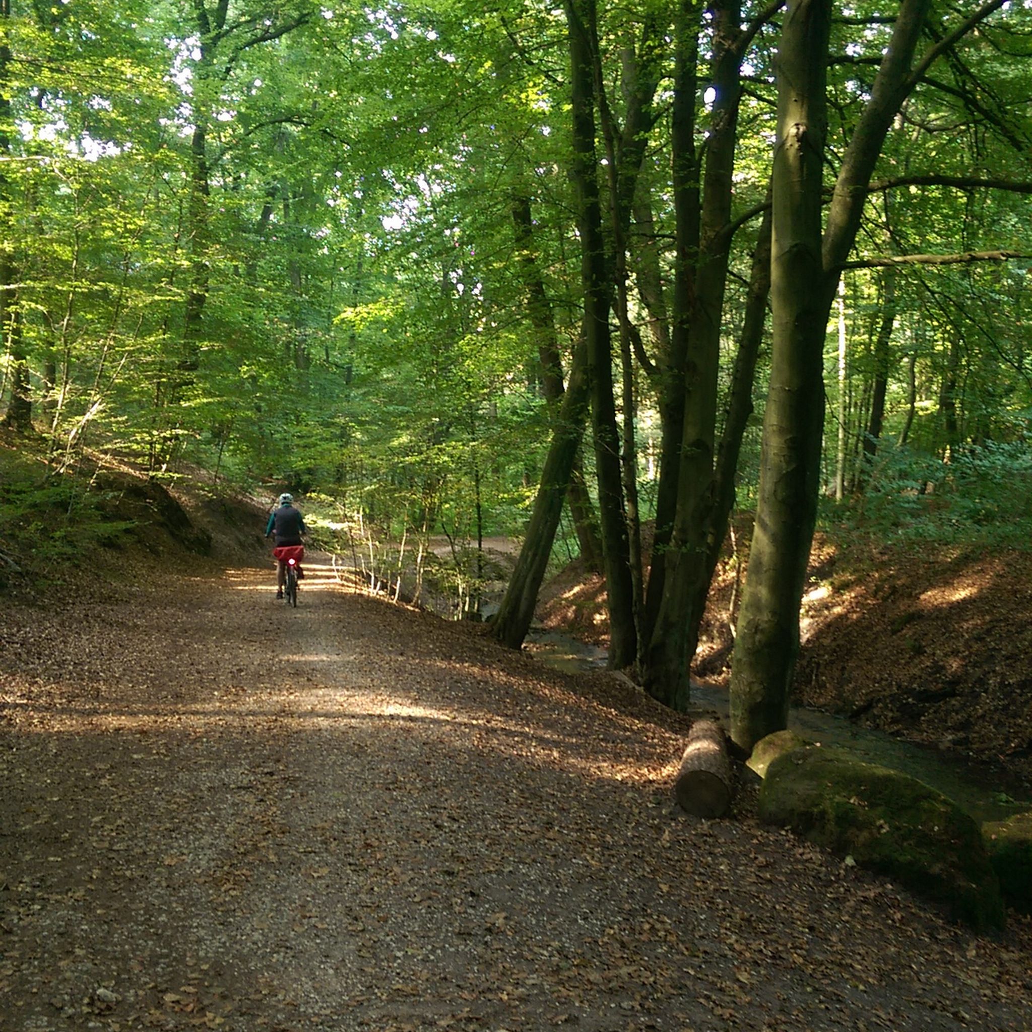
MTB Trails around Oerlinghausen
Other adventures around Oerlinghausen


Tips from the Community

Beautiful path in May with wild garlic blooming.
0
0


Quite challenging. Not for beginners :-)
1
0

The Lewenberg is a 312.6 m above sea level mountain in the Teutoburg Forest near Bielefeld-Lämershagen and, after the Auf dem Polle (320 m), the second highest mountain in Bielefeld. The Lewenberg is located in the Eastern Teutoburg Forest nature reserve. To the north of it is the Lietegge (285 m), to the east is the Maakenberg (286.5 m), to the south is the “Markengrund” weekend house area and to the west is the Auf dem Polle (320 m), as well as the A 2. On the eastern summit of the Lewenberg are the remains of the Löwenburg. Source: https://de.wikipedia.org/wiki/Lewenberg_(Teutoburger_Wald)
1
0


The Teutoburg Forest transmitter - popularly known as the "Bielstein transmitter" - belongs to the WDR and is located on the Bielstein mountain, 393 m above sea level. After two years of construction, a 298 m high tubular steel mast was put into operation in 1970. On January 15, 1985, ice and gusty winds tore a sleeve and the transmitter fell over. It was then replaced in 1986 by a 302 m high, guyed steel truss mast.
4
1


The best way to hike from Hiddesen is via the Residenzweg, then you only have a few hundred meters of asphalt just before the transmitter. The descent towards the south then goes along a gravel forest path. Of course, it's better to ride a bike over the asphalt access to the transmission tower. You can reach it from Heidentalstrasse (also in Hiddesen).
2
0
Frequently Asked Questions
What are the most prominent elevated points in Oerlinghausen?
The most prominent elevated point is the Tönsberg, which is Oerlinghausen's highest at 334 meters. Other notable summits include Lewenberg, a wooded peak at 312 meters, and Auf dem Polle, which is the highest elevation in nearby Bielefeld at 320 meters.
Which mountain peaks offer the best views around Oerlinghausen?
The Tönsberg is renowned for its expansive panoramic views over the Teutoburger Forest, the Paderborner Land, and the open heathland of the Senne. The "Tönsberg views A5" hiking route is specifically designed to showcase these vistas. Additionally, Bielstein Transmitter and Lewenberg also offer good views of the surrounding country after their ascents.
Are there any historical or cultural sites on the peaks near Oerlinghausen?
Yes, the Tönsberg is rich in history. It features the "Wallburg Tönsberg," an important prehistoric and early historic hilltop settlement with Bronze Age burial mounds and earthworks. You can also find the ruins of the Hünenkapelle (Tönskapelle), a 15th-century pilgrimage site, and the "Kumsttonne," an old mill stump from 1753, which serves as a landmark.
What kind of hiking trails can I find around Oerlinghausen's peaks?
The region offers a variety of hiking trails, from easy strolls to more challenging routes. Many peaks, including the Tönsberg, are integrated into well-maintained networks like sections of the long-distance Hermannsweg. Trails often lead through mixed forests, past natural monuments like the Sachsenquelle spring, and offer scenic views.
Are there challenging trails for experienced hikers in the Oerlinghausen area?
Yes, several peaks offer challenging routes. The ascent to Lewenberg is very steep, and Auf dem Polle is known for its steep, rooty, and stony sections. The Hermannsberg Mountain Bike Trail also features significant elevation changes and challenging terrain, while Hellegrundsberg offers a very long mountain route with ups and downs, and steep, rocky descents.
Can families with children enjoy the mountain peaks in Oerlinghausen?
Yes, many areas around Oerlinghausen's peaks are suitable for families. While some ascents can be steep, there are numerous well-maintained hiking trails through the Teutoburger Forest that cater to various fitness levels. The general forested landscape and historical sites like those on the Tönsberg can provide an engaging experience for families.
What other outdoor activities are available near Oerlinghausen's peaks?
Beyond hiking, the region around Oerlinghausen offers excellent opportunities for other outdoor sports. You can find numerous running trails, mountain biking routes, and cycling tours. The Oerlinghausen Glider Airfield, one of Europe's largest, also offers a unique perspective of the region's topography.
When is the best time of year to visit the peaks in Oerlinghausen?
The peaks around Oerlinghausen, situated within the Teutoburger Forest, offer beauty in every season. Spring brings lush greenery, while autumn showcases vibrant foliage. The well-maintained trails make hiking enjoyable throughout much of the year, though specific conditions might vary with weather. The region's historical sites and viewpoints are accessible year-round.
What unique natural features can be discovered on these peaks?
The peaks are part of the extensive Teutoburger Forest, offering dense woodlands and diverse flora. On the Tönsberg, you can find natural monuments like the Sachsenquelle spring and a water treading basin. Many elevated points provide broad views over the surrounding landscape, including the open heathland of the Senne.
What is the Bielstein Transmitter and why is it notable?
The Bielstein Transmitter is a significant man-made monument and a central broadcasting system of the WDR, located on the Bielstein mountain at 393 meters above sea level. It's notable for its impressive 302-meter-high guyed steel truss mast and offers good views of the surrounding country, making it a popular destination for hikers.
Are there any circular hiking routes around the Oerlinghausen peaks?
Yes, the Tönsberg area features routes like the "Tönsbergrundweg," which allows you to explore the mixed forests, natural monuments, and historical sites in a circular fashion. Many other trails in the Teutoburger Forest are designed as loops, providing diverse experiences without retracing your steps.
What makes Lewenberg a worthwhile climb?
Lewenberg is a wooded summit at 312 meters, making it one of the higher peaks in the region. While the ascent is notably steep, visitors are rewarded with a beautiful view from the top. There's also a great path along its ridge, appreciated by the komoot community.
Most popular routes around Oerlinghausen
Most popular attractions around Oerlinghausen

Get inspired with the komoot mobile app


Explore more
See even more amazing summits around Oerlinghausen with these guides:
