The best hikes from bus stations around Oerlinghausen
4.6
(3611)
14,180
hikers
188
hikes
Bus station hiking trails around Oerlinghausen offer access to a varied landscape at the intersection of the Teutoburg Forest and the Senne. The region features dense forests, prominent hills like the Tönsberg, and flatter, sandy areas. This geographical diversity provides a range of terrain for hikers, from woodland paths to open heathland.
Best bus station hiking trails around Oerlinghausen
- The most popular bus station hiking route is Oerlinghausen: Durch den Sand der Senne, a 13.0 miles (20.9 km) trail…
Last updated: June 26, 2026
4.6
(103)
291
hikers
20.9km
05:41
300m
310m
Hard hike. Very good fitness required. Easily-accessible paths. Suitable for all skill levels.
4.7
(271)
927
hikers
12.5km
03:21
150m
150m
Moderate hike. Good fitness required. Easily-accessible paths. Suitable for all skill levels.

Sign up for free
4.7
(98)
360
hikers
Easy hike. Great for any fitness level. Easily-accessible paths. Suitable for all skill levels.
4.6
(47)
135
hikers
Moderate hike. Good fitness required. Easily-accessible paths. Suitable for all skill levels.
4.5
(38)
159
hikers
Moderate hike. Good fitness required. Easily-accessible paths. Suitable for all skill levels.
Get access to more routes and recommendations from other explorers.
Sign up for free
Already have an account?
Our route recommendations are based on thousands of hikes, rides, and runs completed by other people on komoot.
Start today with a free account
Your next adventure awaits.
Login or Signup
Popular around Oerlinghausen
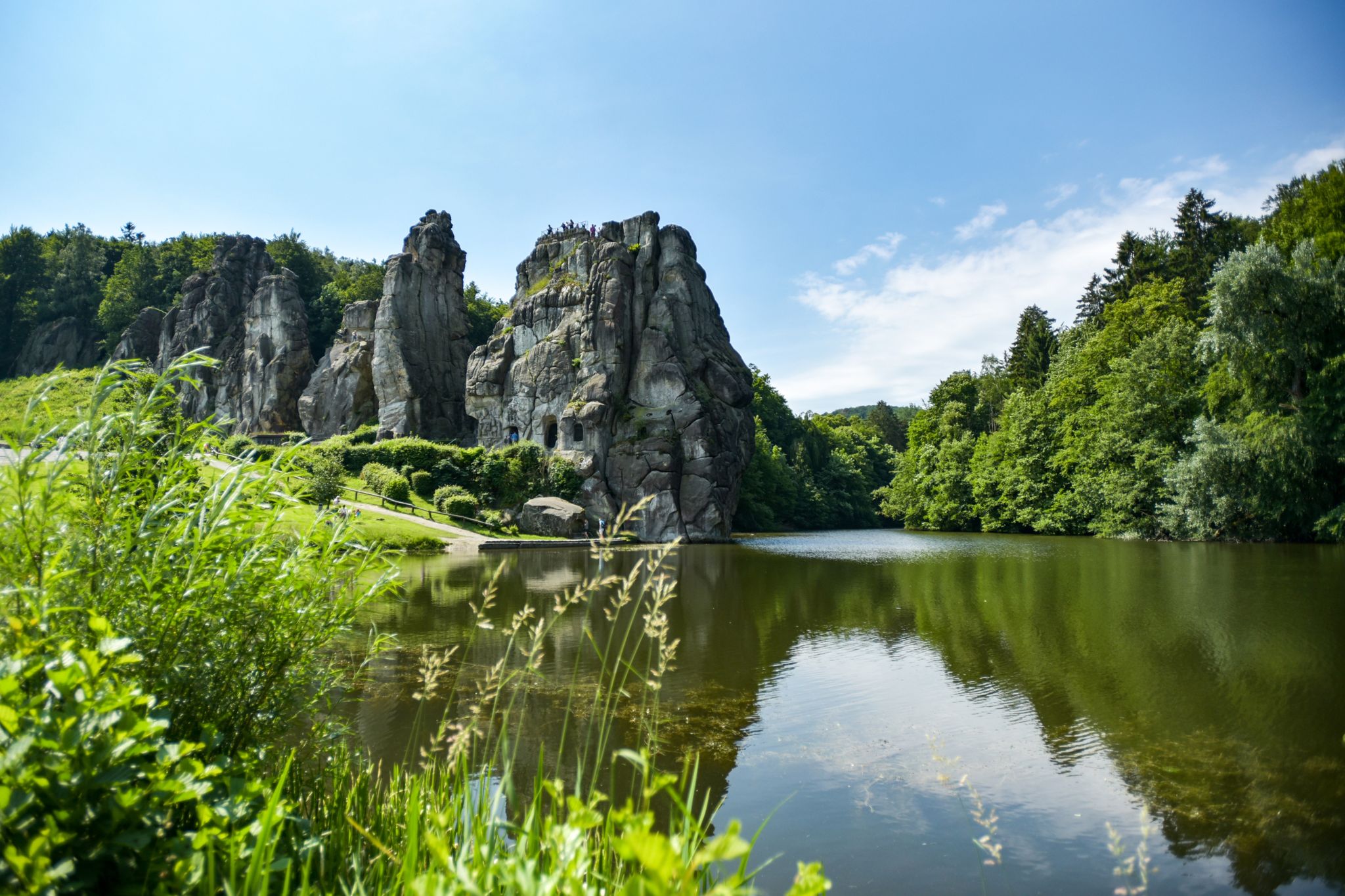
Hiking Germany's Hermannsweg – In the footsteps of the Cheruscan

Lippe Quality Trails – hiking in the land of Hermann
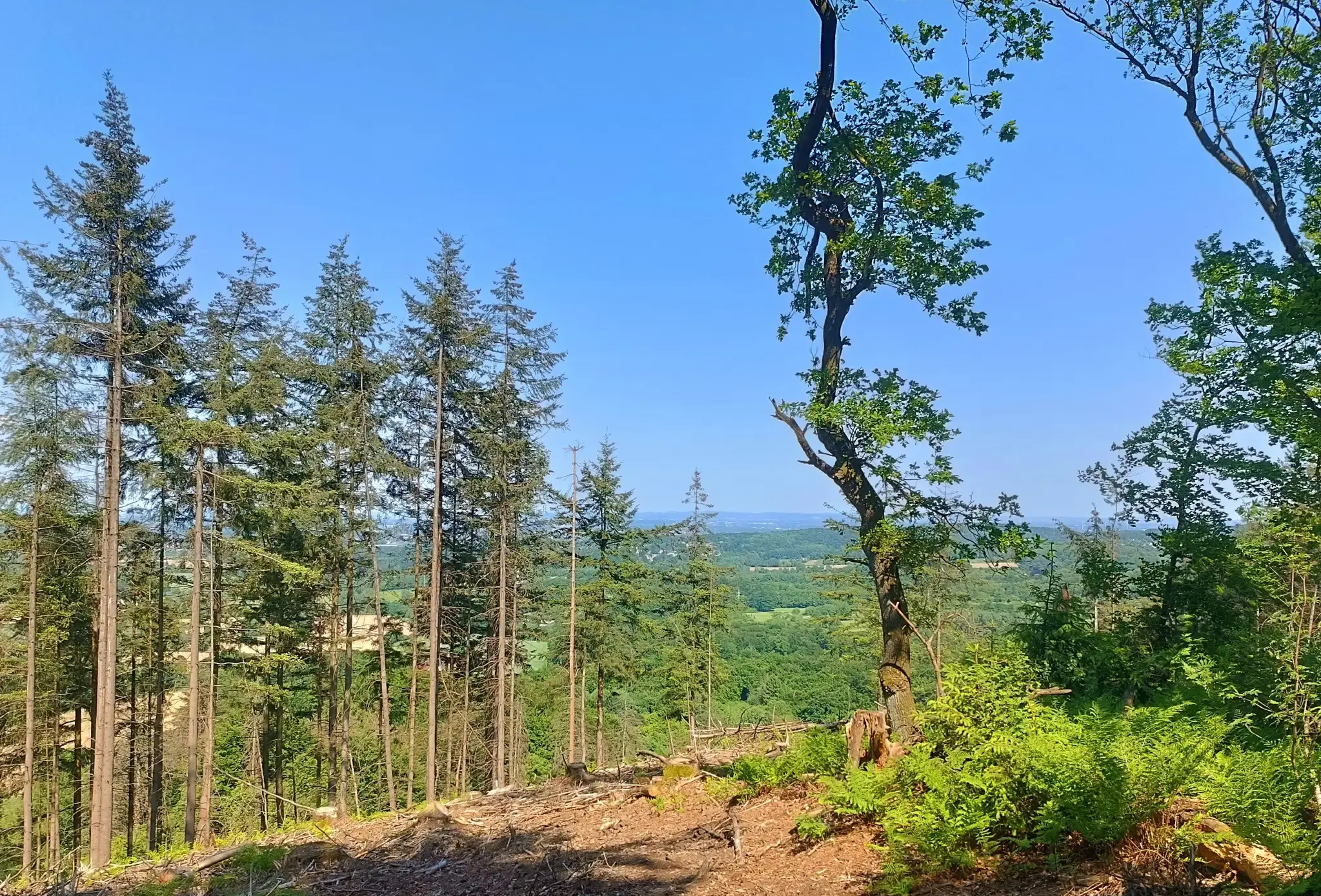
Nature and spectacular views – Germany’s Teutoburg Forest trails
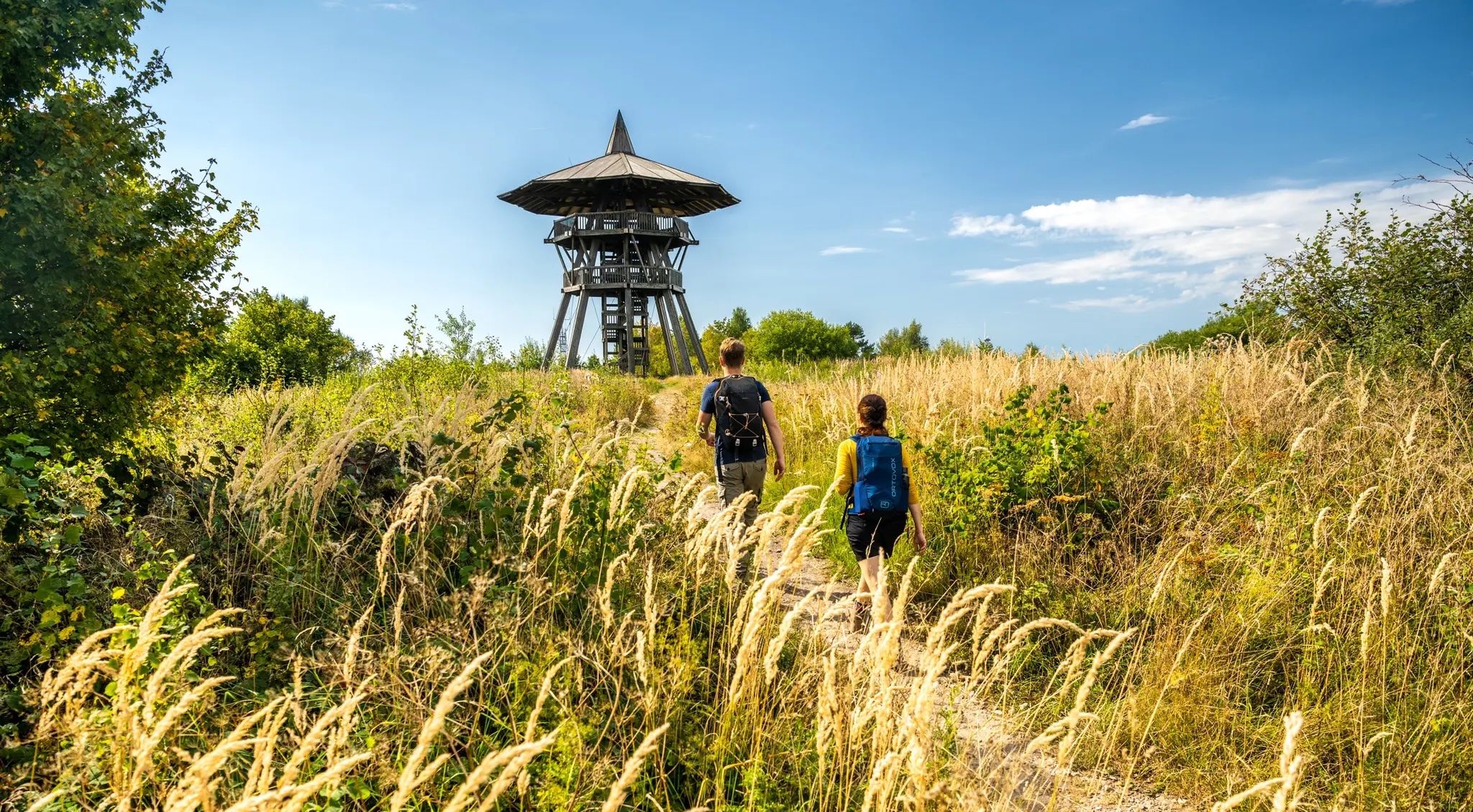
Culture and nature from Rheine to Marsburg – Hermann Heights Trail
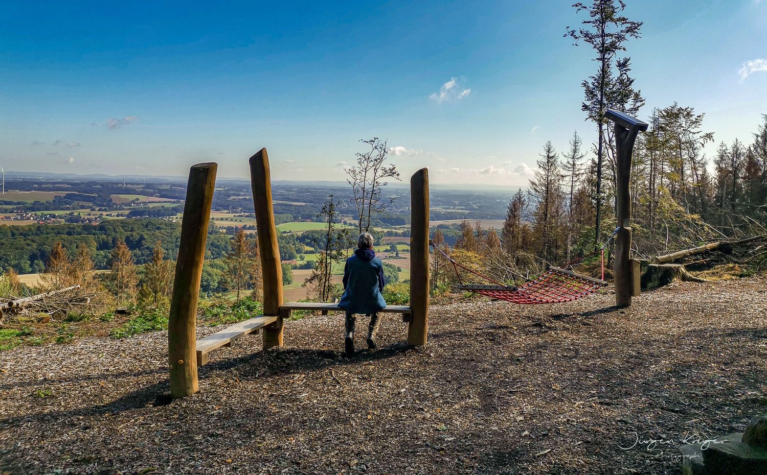
Close to the Hermann Heights Trail – 18 circulars in the Teutoburg Forest
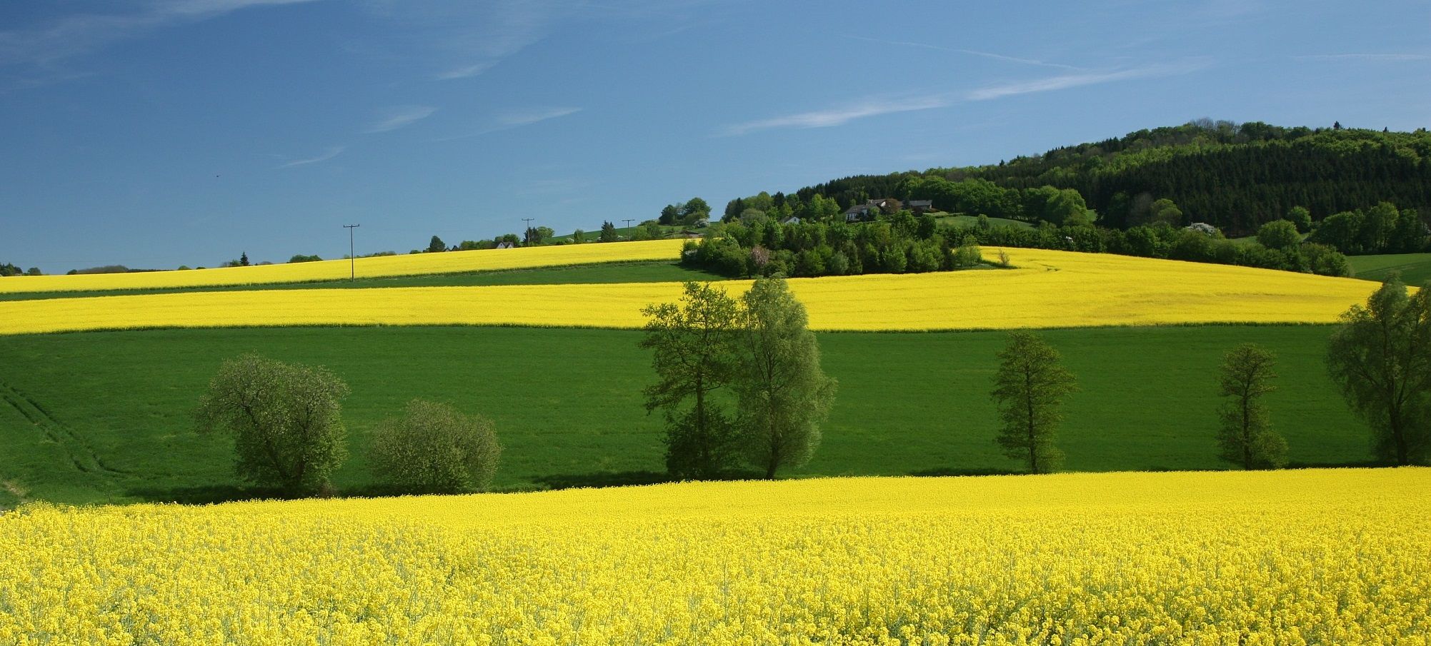
Sport, fun and Romanticism – nature walks in the Teutoburg Forest
Other adventures around Oerlinghausen


Tips from the Community

Young fire salamanders (larvae) are primarily deposited in clean, cool streams or springs, like this one, during the spring, between March and May. The larvae develop there for about two to five months until they metamorphose and emerge as adult salamanders in the summer (July to September). The young salamanders of 2026 can already be seen here starting in January.
0
0
There's always something to experience here
1
0

It's really great here. Absolutely quiet and few people (during the week).
0
0
There's room for a few cars here. It's no problem during the week, but it can get crowded on weekends.
0
0
Absolute peace and quiet here. It's worth a stroll
0
0
Unfortunately, it's so overgrown on the other side at the moment that there's no way over it.
0
0
It's worth stopping here to rest and enjoy a cool drink, even though the restaurant is permanently closed.
0
0
Fantastic! A restaurant that's sadly closed, but still offers hospitality. There are chairs and tables in the garden, and drinks and snacks are available from a fridge – for no more than a small donation.
1
0
Frequently Asked Questions
How many hiking trails are accessible from bus stations around Oerlinghausen?
There are over 190 hiking trails around Oerlinghausen that are easily accessible from bus stations, offering a wide range of options for all skill levels. This includes routes through the dense Teutoburg Forest and the unique sandy landscapes of the Senne.
Are there easy, family-friendly hikes starting from Oerlinghausen's bus stations?
Yes, Oerlinghausen offers many easy and family-friendly routes. For instance, the Schopke Stream – Schopke Valley Stream Trail loop from Oerlinghausen is an easy 5.4 km loop, perfect for a relaxed outing. The region's diverse terrain ensures there are gentle paths suitable for all ages.
What kind of landscapes can I expect on these bus station hikes?
The trails around Oerlinghausen offer a fascinating mix of landscapes. You can explore the hilly, dense forests of the Teutoburg Forest, including the prominent Tönsberg, or venture into the flatter, sandy dune trails of the Senne. Routes like Oerlinghausen: Durch den Sand der Senne specifically highlight the unique Senne landscape.
Are there any circular hiking routes available from bus stops?
Many of the trails around Oerlinghausen are designed as circular routes, making them convenient for public transport users. This allows you to start and end your hike at the same bus station without needing to retrace your steps. For example, the Wistinghauser Senne – Oerlinghausen Glider Airfield loop from Stukenbrock is a moderate circular hike.
What historical or natural attractions can I see along the trails?
Oerlinghausen's trails are rich in history and natural beauty. You can explore the Tönsberg, a significant prehistoric settlement with an archaeological hiking trail, or discover the ruins of the Hünenkapelle. The region also features natural highlights like the Dörenschlucht Nature Reserve. Don't miss the Hermann Monument or the tranquil Donoper Pond, both accessible via nearby routes.
Are dogs allowed on the hiking trails around Oerlinghausen?
Generally, dogs are welcome on the hiking trails around Oerlinghausen. The diverse natural environment, from forest paths to open heathlands, provides excellent opportunities for walks with your canine companion. However, always keep your dog on a leash, especially in nature reserves and near wildlife, and be mindful of local regulations.
What is the best time of year to hike from Oerlinghausen's bus stations?
The hiking trails around Oerlinghausen are enjoyable year-round. Spring brings blooming flora, summer offers lush green forests, and autumn transforms the landscape with vibrant colors. Even in winter, the snow-dusted Teutoburg Forest can be magical, though some paths might be slippery. Always check weather conditions before heading out.
Are there any viewpoints or panoramic vistas on these routes?
Absolutely! The Tönsberg, being the highest point near Oerlinghausen, offers spectacular panoramic views of the Lipper Bergland and the expansive Senne. Many trails, including the Hermannsweg on the Tönsberg, lead to elevated spots where you can enjoy extensive vistas of the surrounding countryside.
What do other hikers say about the trails around Oerlinghausen?
The hiking trails around Oerlinghausen are highly rated by the komoot community, with an average score of 4.6 stars. Reviewers often praise the region's diverse landscapes, the well-maintained paths, and the excellent accessibility by public transport, making it a favorite for those seeking varied outdoor experiences.
Can I find refreshments or places to eat near the bus station hiking routes?
Yes, Oerlinghausen and its surrounding villages offer various options for refreshments. Depending on your chosen route, you may find cafes, restaurants, or traditional German pubs (Gasthäuser) in the towns or along the trails, perfect for a break before or after your hike. It's always a good idea to check opening times in advance.
Are there longer, more challenging hikes available from bus stations?
For experienced hikers seeking a challenge, Oerlinghausen also offers longer and more demanding routes. The Oerlinghausen: Durch den Sand der Senne route, for example, is a difficult 20.9 km hike with significant elevation changes, providing a strenuous workout while exploring diverse terrain.
Most popular routes around Oerlinghausen
Most popular attractions around Oerlinghausen

Get inspired with the komoot mobile app


Explore more
Browse the best Hikes in other regions.
