The best traffic-free bike rides around Oerlinghausen
4.2
(60)
287
riders
9
rides
Gravel biking around Oerlinghausen features varied terrain where the low mountain range of the Teutoburg Forest converges with the flat plains of the Senne region. This geographical position provides a mix of hilly forests, gentle valleys, and open landscapes. The area includes elevation changes and extensive trail networks, offering diverse surfaces from forest paths to sandy trails suitable for gravel bikes.
Best no traffic gravel bike trails around Oerlinghausen
- The most popular no traffic gravel bike trail is Donoper Pond…
Last updated: May 14, 2026
4.0
(4)
19
riders
36.6km
02:30
640m
640m
Hard gravel ride. Very good fitness required. Mostly paved surfaces. Suitable for all skill levels.
8
riders
21.8km
01:32
280m
280m
Hard gravel ride. Good fitness required. You may need to push your bike for some segments of this route.

Sign up for free
5.0
(2)
6
riders
Moderate gravel ride. Good fitness required. Mostly paved surfaces. Suitable for all skill levels.
3.0
(1)
4
riders
42.3km
02:36
360m
360m
Moderate gravel ride. Good fitness required. Mostly paved surfaces. Suitable for all skill levels.
4.5
(2)
4
riders
19.9km
01:17
130m
130m
Easy gravel ride. Great for any fitness level. Mostly paved surfaces. Suitable for all skill levels.
Get access to more routes and recommendations from other explorers.
Sign up for free
Already have an account?
Our route recommendations are based on thousands of hikes, rides, and runs completed by other people on komoot.
Start today with a free account
Your next adventure awaits.
Login or Signup
Popular around Oerlinghausen
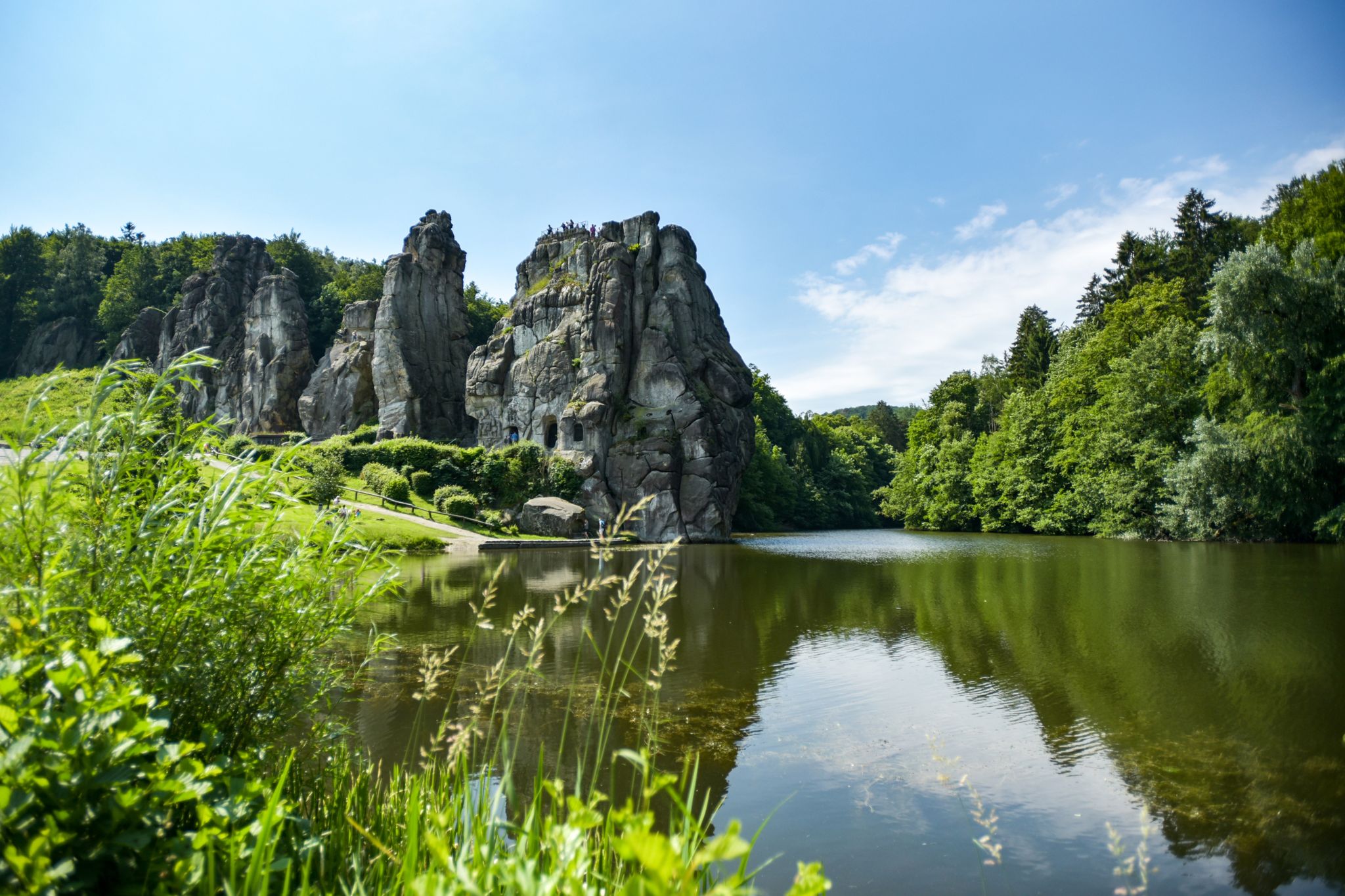
Hiking Germany's Hermannsweg – In the footsteps of the Cheruscan
Lippe Quality Trails – hiking in the land of Hermann
Nature and spectacular views – Germany’s Teutoburg Forest trails
Culture and nature from Rheine to Marsburg – Hermann Heights Trail
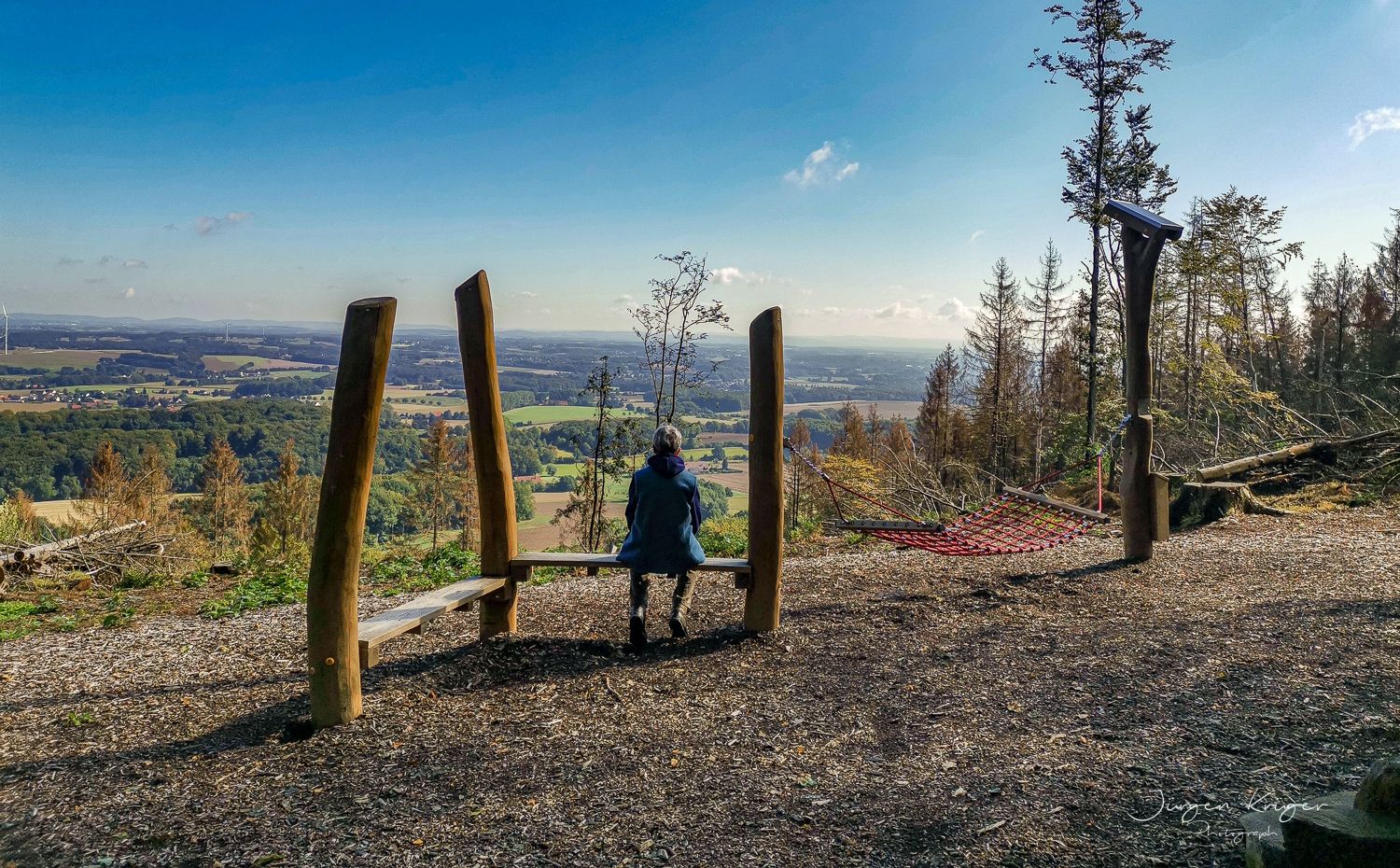
Close to the Hermann Heights Trail – 18 circulars in the Teutoburg Forest
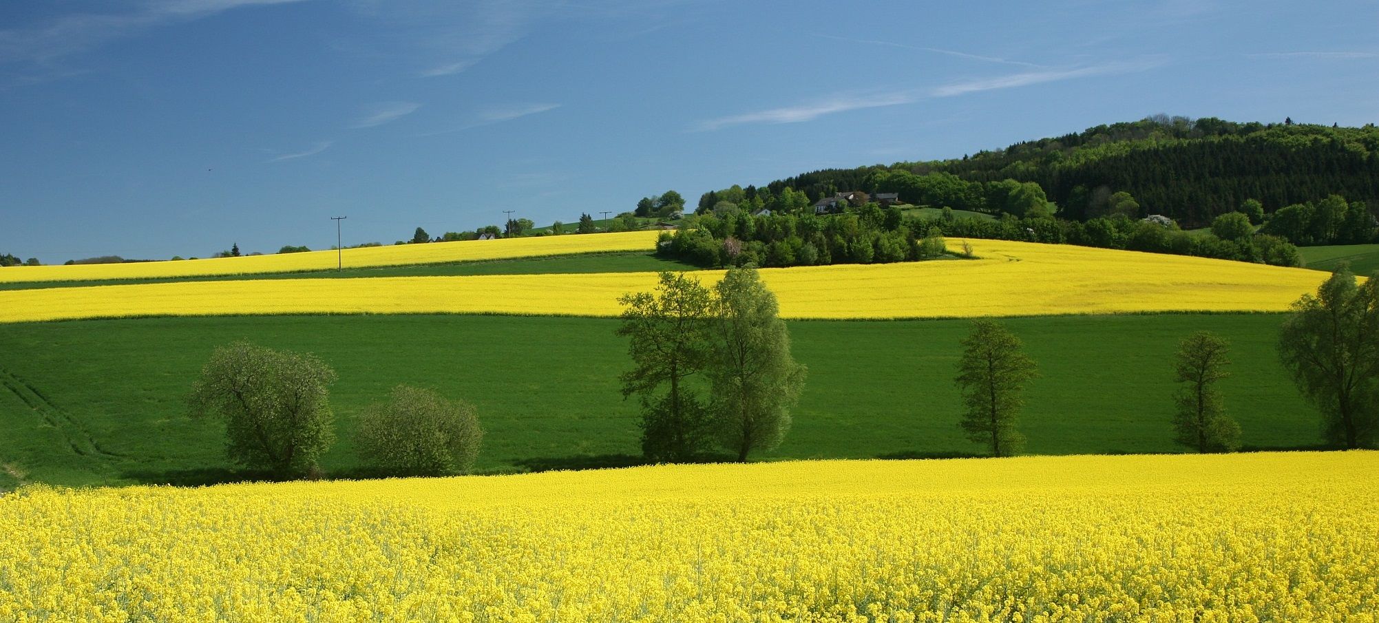
Sport, fun and Romanticism – nature walks in the Teutoburg Forest
Traffic-free bike rides around Oerlinghausen
Traffic-free bike rides around Oerlinghausen
Other adventures around Oerlinghausen


Tips from the Community

The Ölbachtal is a 169-hectare nature reserve in the Senne region of North Rhine-Westphalia. 168 hectares of the area, managed under object ID LIP-002, lie within the municipal areas of Schloss Holte-Stukenbrock. Very good for hiking and cycling.
0
0

it looks like a cemetery
0
0

Nothing special, but still somehow nicely laid out 😊 The jetty was definitely worth a photo for me 😊
2
1

simply racing through the forest
2
0

A great view into the sand pit can be had here
1
0

After the long descent from Tönsberg you reach a large wooded area of the Teutoburg Forest. A very scenic route.
1
0

Beautiful stream and typical Münsterland Pättkes
4
2

A beautiful path between Hasselbach and Donoper Teiche
0
0
Frequently Asked Questions
How many no-traffic gravel bike trails can I find around Oerlinghausen?
There are 9 dedicated no-traffic gravel bike trails around Oerlinghausen featured in this guide. These routes offer a variety of experiences, from easy rides to more challenging adventures through the diverse landscapes of the Teutoburg Forest and the Senne.
What kind of terrain can I expect on these car-free gravel routes?
The terrain around Oerlinghausen is incredibly varied. You'll encounter hilly sections and forest paths within the Teutoburg Forest, contrasting with flatter, sandy dune trails in the Senne region. This mix provides a dynamic gravel biking experience, with routes ranging from moderate to difficult, ensuring there's something for different skill levels.
Are there any easy, traffic-free gravel bike routes suitable for beginners or families?
Yes, there are options for easier rides. For instance, the View of Stapelager Senne loop from Stukenbrock is rated as easy and offers a pleasant, car-free experience. This route provides a great introduction to gravel biking in the region without significant elevation challenges.
What are some scenic highlights or landmarks I might encounter on these trails?
Many routes offer stunning natural beauty and points of interest. You might pass by the picturesque Donoper Pond, a serene spot perfect for a break. The region is also home to the Tönsberg, the highest point near Oerlinghausen, offering panoramic views and landmarks like the Kumsttonne windmill ruin. The Donoper Pond – Sand Pit Oerlinghausen loop from Oerlinghausen is a great example of a route that combines natural beauty with varied terrain.
Are there any challenging no-traffic gravel routes for experienced riders?
Absolutely. For those seeking a challenge, routes like the Donoper Pond – Sand Pit Oerlinghausen loop from Oerlinghausen and the View of the Quarry – Sand Pit Oerlinghausen loop from Oerlinghausen are rated as difficult. These routes feature significant elevation gains and longer distances, providing a rewarding experience for advanced gravel bikers.
What is the best season for gravel biking in Oerlinghausen to avoid traffic?
While these routes are designed to be traffic-free, the natural beauty of Oerlinghausen shines in spring and autumn. The milder temperatures and vibrant colors of the foliage make for an ideal riding experience. Summer is also great, especially in the shaded forest sections, but always be mindful of other outdoor enthusiasts on shared paths.
Are there any circular gravel bike routes that avoid main roads?
Yes, all the routes listed in this guide are circular and specifically designed to minimize or eliminate traffic, allowing you to enjoy continuous, car-free riding. For example, the Wooden bridge in Holter Wald – Cycle Path Along the Ölbach loop from Steinbruch am Barkhauser Berg offers a moderate circular ride through scenic landscapes.
What do other gravel bikers say about the no-traffic routes in Oerlinghausen?
The komoot community highly rates the gravel biking experience in Oerlinghausen, with an average score of 4.2 out of 5 stars from 58 ratings. Riders often praise the quiet, natural settings, the varied terrain, and the well-maintained paths that make for an enjoyable and traffic-free adventure.
Can I find routes that pass by lakes or water features?
Yes, several routes incorporate beautiful water features. The Donoper Pond – Sand Pit Oerlinghausen loop from Helpup is a great option that takes you past the serene Donoper Pond. Other nearby lakes like the Hasselbach Reservoir and the Bentteiche Ponds are also accessible in the wider region, offering picturesque spots for a break.
Are there options for parking near the starting points of these traffic-free gravel trails?
Yes, many of the routes start from locations with convenient parking options in or around Oerlinghausen. For example, routes starting 'from Oerlinghausen' or 'from Helpup' typically have accessible parking nearby, making it easy to unload your bike and begin your adventure. Always check the specific tour details on komoot for precise starting points and parking recommendations.
What is the typical distance and elevation gain for these no-traffic gravel routes?
The routes vary significantly in length and elevation. You can find shorter, easier rides around 20 km with moderate elevation, such as the View of Stapelager Senne loop from Stukenbrock (19.9 km, 130 m elevation gain). For longer, more challenging rides, options like the Donoper Pond – Sand Pit Oerlinghausen loop from Helpup extend over 40 km with significant climbs (42.3 km, 356 m elevation gain), catering to various fitness levels.
Most popular routes around Oerlinghausen
Most popular attractions around Oerlinghausen

Get inspired with the komoot mobile app


Explore more
Browse the best Gravel rides in other regions.
