The best road cycling routes around Mendota Heights
4.7
(143)
5,287
riders
199
rides
Road cycling around Mendota Heights offers diverse opportunities across its extensive park system and scenic landscapes. The city features 17 public parks and open spaces, providing well-maintained pathways suitable for cycling. Situated along the Mississippi River, the area includes bluffs and natural preserves, contributing to varied terrain. Regional trail connections, such as the Big Rivers Regional Trail, expand options for longer routes.
Best road cycling routes around Mendota Heights
- The most popular road cycling route is River to River Greenway…
Last updated: May 19, 2026
16
riders
29.2km
01:20
240m
240m
Easy road ride. Great for any fitness level. Mostly well-paved surfaces and easy to ride.
61.3km
02:30
250m
250m
Moderate road ride. Good fitness required. Mostly well-paved surfaces and easy to ride.

Sign up for free
1
riders
40.5km
01:48
250m
250m
Easy road ride. Great for any fitness level. Mostly well-paved surfaces and easy to ride.
34
riders
Easy road ride. Great for any fitness level. Mostly well-paved surfaces and easy to ride.
9
riders
Moderate road ride. Good fitness required. Mostly well-paved surfaces and easy to ride.
Get access to more routes and recommendations from other explorers.
Sign up for free
Already have an account?
Our route recommendations are based on thousands of hikes, rides, and runs completed by other people on komoot.
Start today with a free account
Your next adventure awaits.
Login or Signup

Tips from the Community

Thomas Lake Park is a true gem, featuring a scenic lake with a public fishing pier and small watercraft access, welcoming picnic facilities, an excellent trail system, and a beautiful mix of woodland and prairie.
0
0

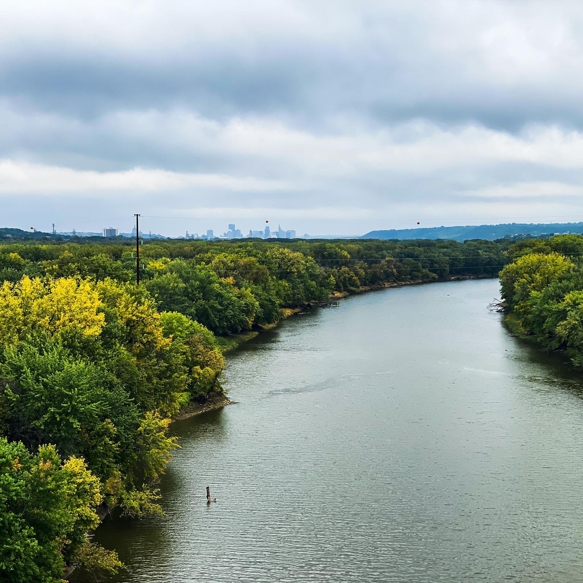
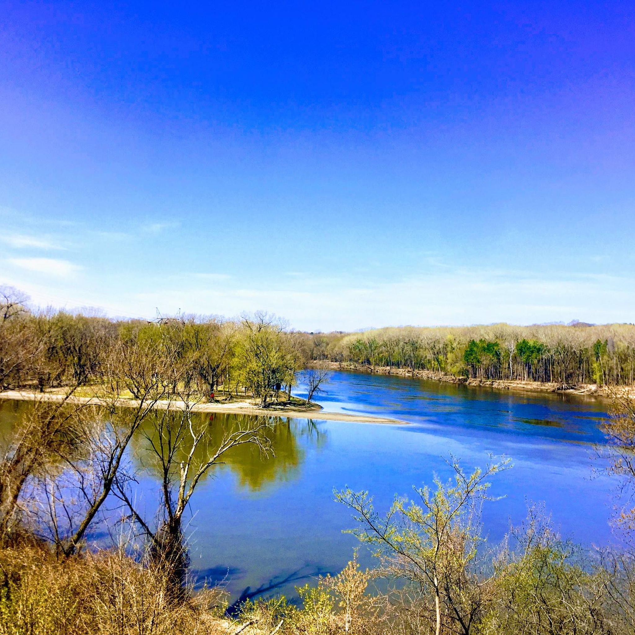
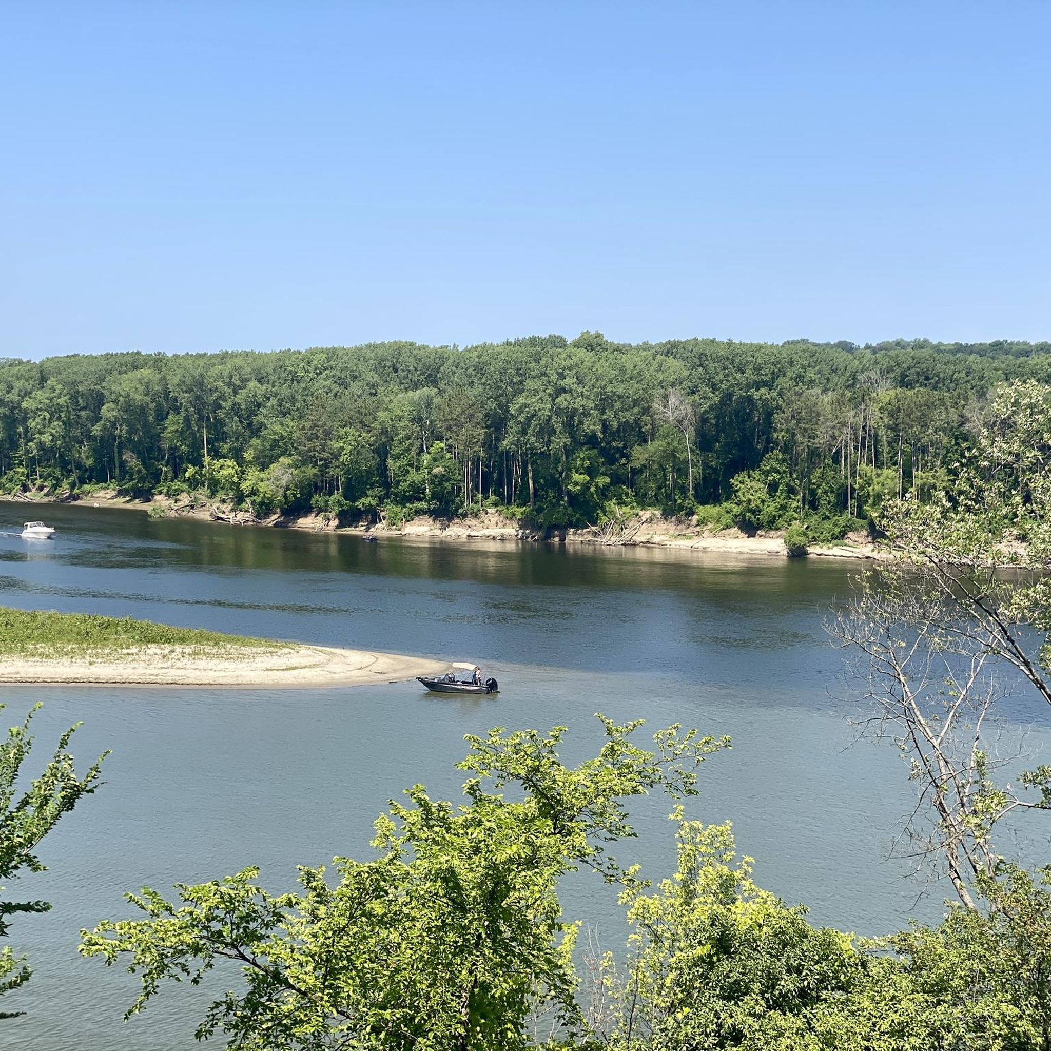
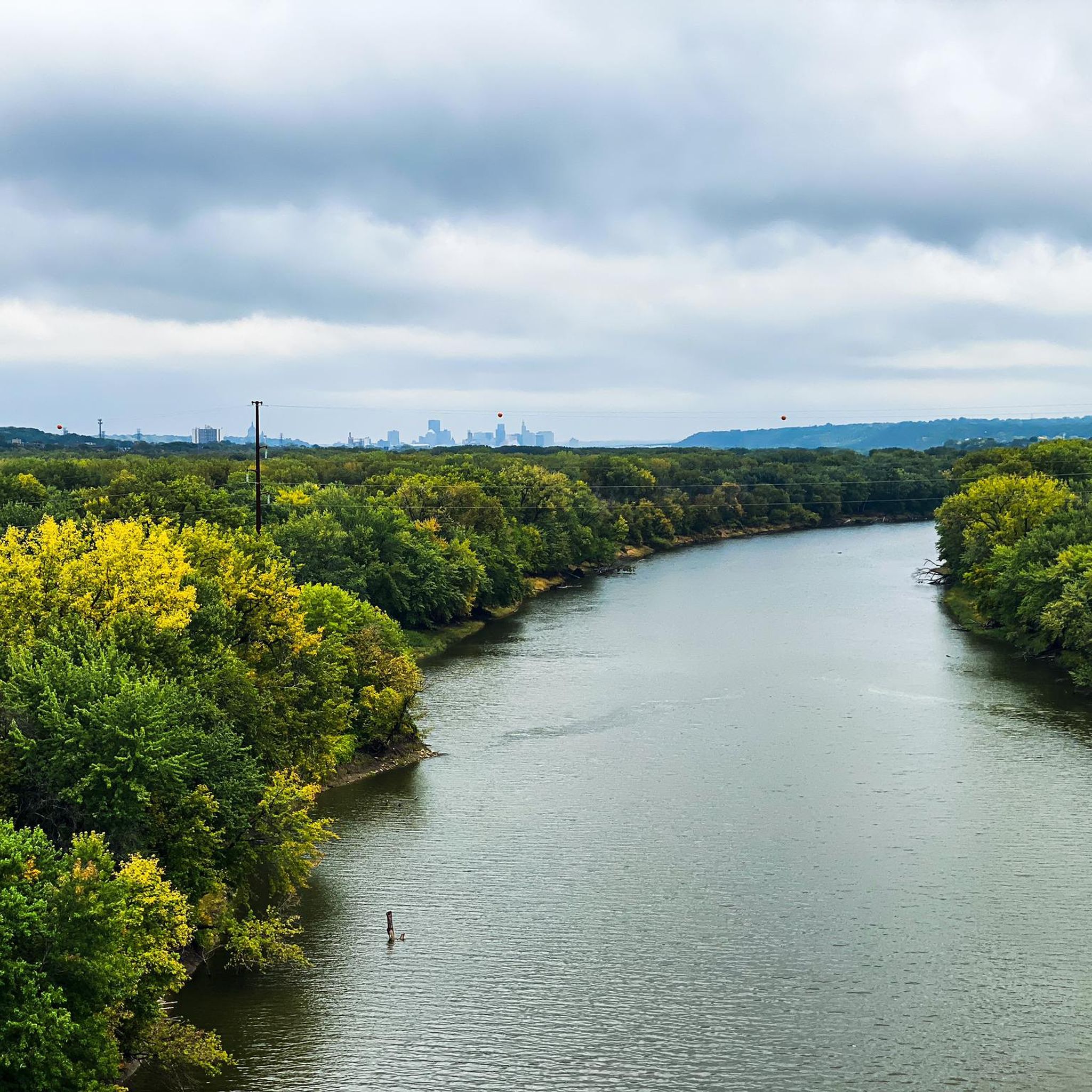
Nice river views from the bike path.
0
0

This creek runs almost 22 miles in total, and is popular with paddlers of all sorts. If you want to kick back and watch them zoom by on the current, pull over and look for some benches on the east bank.
0
0

The Old Cedar Avenue Bridge has wide views of the Minnesota River. It's a popular spot for birdwatching—herons, egrets, and other wildlife are often seen here. The bridge connects to trails in the Minnesota Valley National Wildlife Refuge, making it a good detour or rest point during a longer ride.
1
0
Here is a link to a Minnesota Department of Natural Resources map of summer trails at Fort Snelling State Park (https://files.dnr.state.mn.us/maps/state_parks/spk00154_summer.pdf). Although bicycles are allowed on many of the park trials, the legend on the map shows, sadly, that the circumferential trail on Pike Island is for hiking only.
0
0

at the tip of Pike Islands a very nice packed Earth bike route around this little Island
0
0

Walking or biking the iconic Stone Arch Bridge is a must-do while in Minneapolis. The path of the bridge offers stunning views of the Minneapolis skyline and the Mississippi River. The bridge itself is a beautiful stone masterpiece.
0
0
Frequently Asked Questions
How many road cycling routes are available in Mendota Heights?
Mendota Heights offers a wide selection of road cycling routes, with over 190 options available for exploration. These routes cater to various skill levels, from easy scenic rides to more challenging paths.
What types of terrain can I expect on road cycling routes in Mendota Heights?
Road cycling in Mendota Heights features diverse terrain. You'll find routes along the scenic banks of the Mississippi River, through numerous city parks with well-maintained pathways, and areas with bluffs that offer varied elevation changes. This mix provides options for both relaxed rides and more challenging climbs.
Are there easy road cycling routes suitable for beginners or families?
Yes, Mendota Heights has many easy road cycling routes. Over 100 routes are rated as easy, making them perfect for beginners or family outings. An example is the River to River Greenway and Mississippi River Trail Loop, which is an 18.1-mile easy trail connecting two significant greenways.
Are there any challenging road cycling routes for experienced riders?
While the majority of routes are easy to moderate, Mendota Heights does offer some more challenging options. There are a few routes rated as difficult, providing experienced riders with opportunities for longer distances and more significant elevation changes. The varied terrain, including bluffs, contributes to these more demanding rides.
What are some scenic highlights or attractions I can see along the road cycling routes?
Road cycling routes in Mendota Heights offer access to several scenic highlights. You can encounter natural beauty like the Confluence of the Mississippi and Minnesota Rivers, or enjoy views of various lakes such as Lake Phalen, Como Lake, and Lake Nokomis. Some routes may also pass by Minnehaha Falls.
Are there circular road cycling routes in Mendota Heights?
Yes, many road cycling routes in Mendota Heights are designed as loops, allowing you to start and end at the same point. For instance, the Mississippi River Twin Cities Loop is a popular 25.2-mile circular path offering views of the river.
What do other road cyclists enjoy most about cycling in Mendota Heights?
The road cycling experience in Mendota Heights is highly rated by the komoot community, with an average score of 4.75 stars from nearly 100 reviews. Cyclists often praise the area's extensive park system, the scenic river views, and the well-maintained pathways that make for enjoyable rides.
What is the best season for road biking in Mendota Heights?
Mendota Heights experiences mild and pleasant seasons, making it inviting for outdoor activities like road cycling for much of the year. Spring, summer, and fall generally offer the most comfortable conditions for exploring the routes.
How can I find parking for road bike trails in Mendota Heights?
Given the city's extensive park system, many parks likely offer parking facilities. For specific parking information related to individual trailheads or parks, it's advisable to check the Mendota Heights city website for park facilities: mendotaheightsmn.gov/383/Parks-Facilities.
Are there road cycling routes that connect to broader regional trail networks?
Absolutely. Mendota Heights benefits from connections to significant regional trails, such as the Big Rivers Regional Trail. These connections can link you to even larger systems like the Grand Rounds Scenic Byway and the Minnesota River Greenway, expanding your options for longer and more varied road cycling adventures.
Can I find routes that combine urban areas with natural parks?
Yes, some routes offer a blend of urban and natural environments. An example is the St. Paul to Rice Creek Chain of Lakes Park loop, a 38.1-mile route that takes you through both cityscapes and natural park settings.
Are there any routes that feature views of the Mississippi River?
Many routes in Mendota Heights offer stunning views of the Mississippi River, as the city is situated along its banks. The Mississippi River Overlook – Fort Snelling Scenic Overlook loop is one such route that provides picturesque river vistas.
Most popular attractions around Mendota Heights

Get inspired with the komoot mobile app


Explore more
Browse the best Road cycling routes in other regions.
