The best road cycling routes around St. Paul
4.7
(49)
2,695
riders
117
rides
Road cycling around St. Paul, Minnesota, is characterized by an extensive network of trails that follow the Mississippi River, offering views of river bluffs and the city skyline. The region features numerous parks with lakes and varied terrains, providing diverse cycling experiences. St. Paul is recognized for its commitment to being a bike-friendly city, with over 200 miles of dedicated paths and roads.
Best road cycling routes around St. Paul
- The most popular road cycling route is Mississippi River Trail…
Last updated: July 7, 2026
4.7
(11)
252
riders
43.4km
01:54
300m
290m
Easy road ride. Great for any fitness level. Mostly well-paved surfaces and easy to ride.
5.0
(2)
56
riders
61.5km
02:52
530m
530m
Moderate road ride. Good fitness required. Mostly well-paved surfaces and easy to ride.

Sign up for free
52
riders
59.3km
02:36
250m
250m
Moderate road ride. Good fitness required. Mostly well-paved surfaces and easy to ride.
16
riders
29.2km
01:20
240m
240m
Easy road ride. Great for any fitness level. Mostly well-paved surfaces and easy to ride.
3
riders
12.6km
00:34
100m
110m
Easy road ride. Great for any fitness level. Mostly well-paved surfaces and easy to ride.
Get access to more routes and recommendations from other explorers.
Sign up for free
Already have an account?
Our route recommendations are based on thousands of hikes, rides, and runs completed by other people on komoot.
Start today with a free account
Your next adventure awaits.
Login or Signup

Tips from the Community

This is a pretty big park that has lots of features, mountain bike trails, paved trails, ballfields, playgrounds, goes for blocks.
1
0
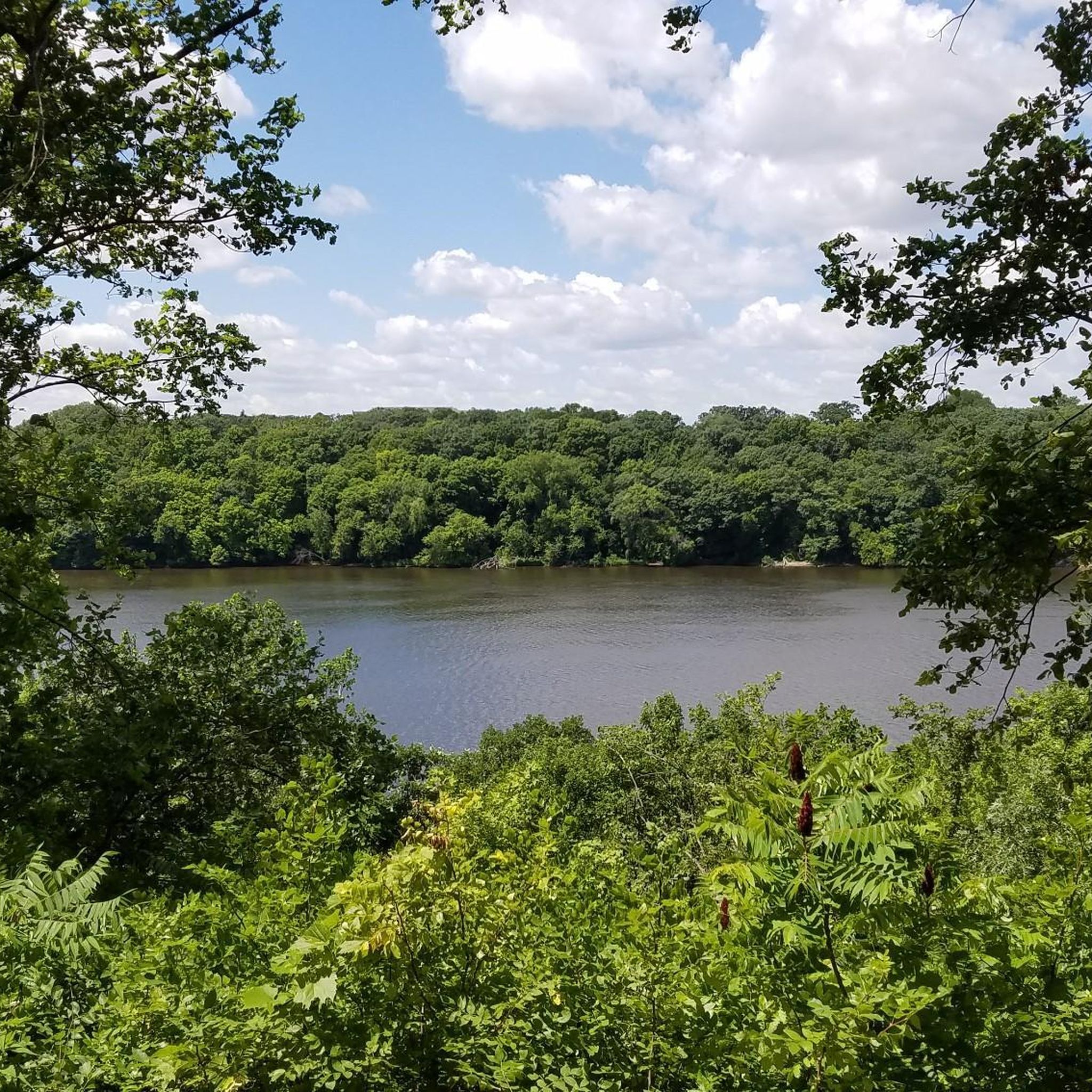
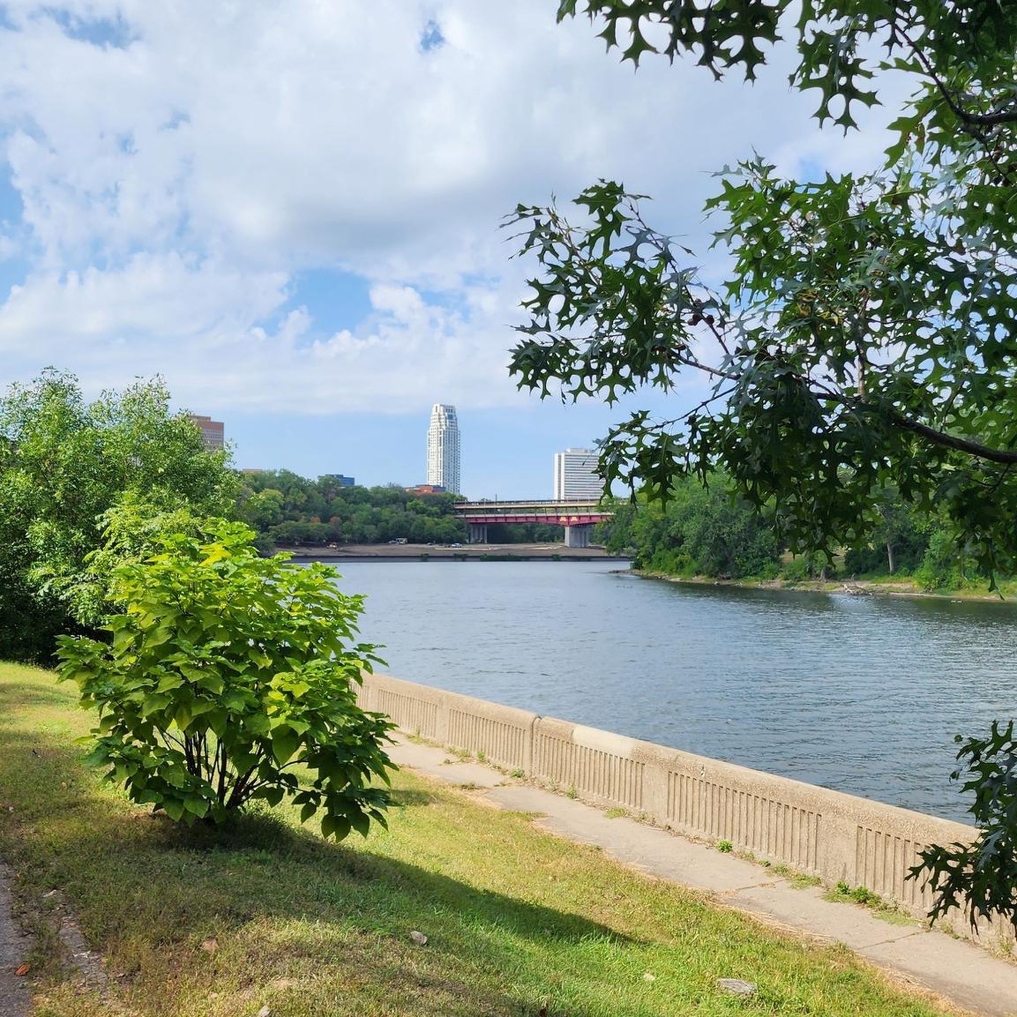
Nice river views from the bike path.
0
0

Here is a link to a Minnesota Department of Natural Resources map of summer trails at Fort Snelling State Park (https://files.dnr.state.mn.us/maps/state_parks/spk00154_summer.pdf). Although bicycles are allowed on many of the park trials, the legend on the map shows, sadly, that the circumferential trail on Pike Island is for hiking only.
0
0

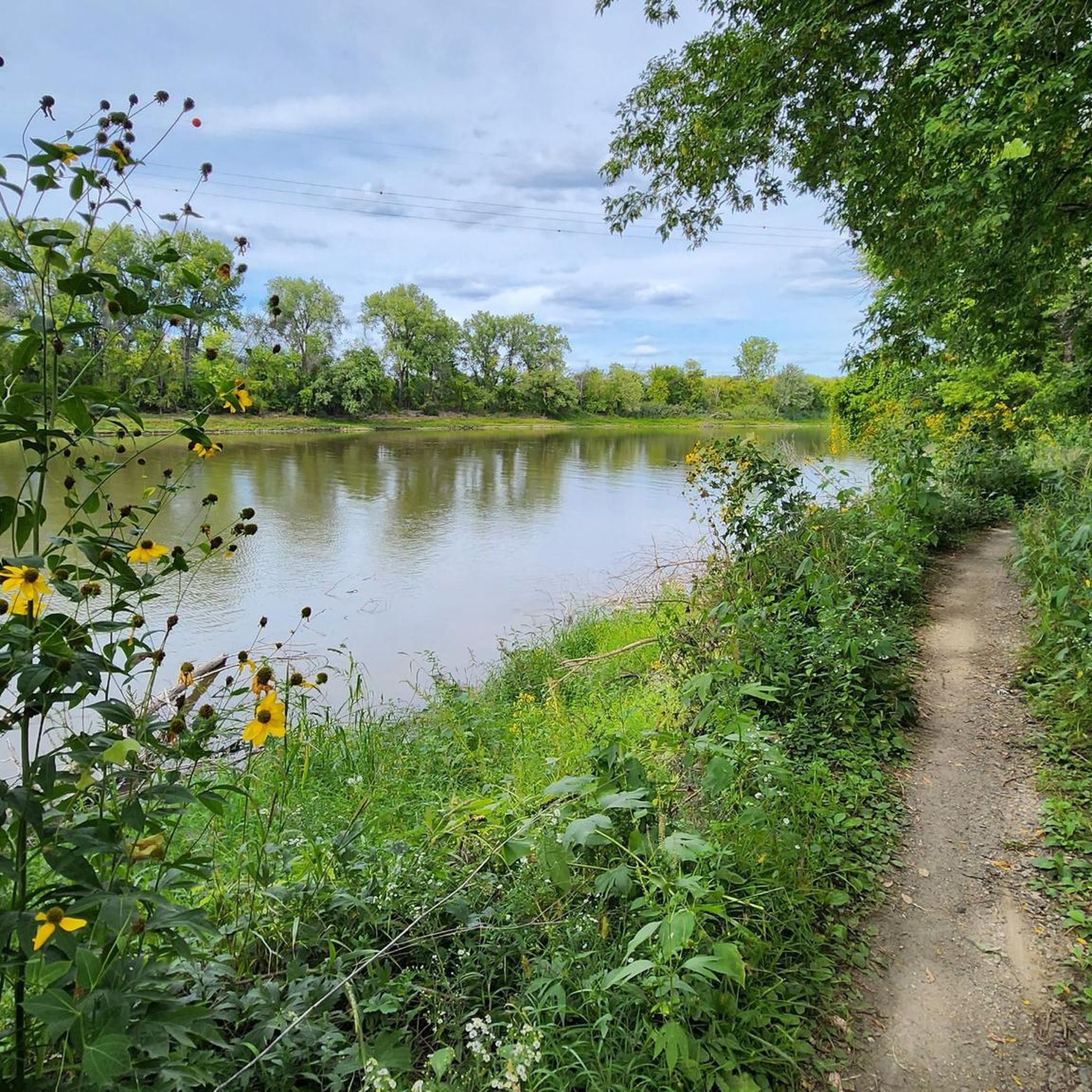
at the tip of Pike Islands a very nice packed Earth bike route around this little Island
0
0

Walking or biking the iconic Stone Arch Bridge is a must-do while in Minneapolis. The path of the bridge offers stunning views of the Minneapolis skyline and the Mississippi River. The bridge itself is a beautiful stone masterpiece.
0
0

This iconic building was designed by Minneapolis architecture firm Long and Kees in 1888 and constructed in 1906. At the time of its construction the 4 faced clock tower claimed to have the largest such clock faces in the world at 24-feet 6 inches (7.5 meters) in diameter.
0
0
The River to River Greenway runs for nearly 8 miles from Kaposia Landing in east St. Paul to the confluence of the Minnesota & Mississippi Rivers on the west side. Along its stretch you'll pass through a number of neighborhoods and parks each with their own charm tempting you to stop and linger for a while.
0
0
This is a gem of a trail right in the heart of St. Paul, Minnesota. The trail follows Battle Creek, cris-crossing the creek on multiple bridges. There are many small water falls, picnic table and benches to rest on. Great spot for warblers in the spring.
1
0
Frequently Asked Questions
How many road cycling routes are available in St. Paul?
St. Paul offers a wide selection of road cycling routes, with over 110 routes documented on komoot. These routes cater to various skill levels, including over 50 easy and 50 moderate options.
Are there road cycling routes suitable for beginners in St. Paul?
Yes, St. Paul has numerous easy road cycling routes perfect for beginners. Many of these are flat paths along the river or around lakes. For example, the Mississippi River Trail Loop is an easy 26.9-mile route offering scenic river views.
What kind of terrain can I expect on St. Paul's road cycling routes?
The terrain in St. Paul is diverse, ranging from flat, paved paths along the Mississippi River and around lakes like Como Lake and Lake Phalen, to routes with moderate elevation changes. Some areas, particularly along the river bluffs, offer switchback climbs, rewarding cyclists with panoramic views.
Which road cycling routes offer scenic views of the Mississippi River?
Many routes in St. Paul feature stunning views of the Mississippi River. The River to River Greenway and Mississippi River Trail Loop is a great option, leading through riverfront areas. The Mississippi River Boulevard Trail and the Sam Morgan Regional Trail also hug the river, providing continuous scenic vistas.
Are there any notable landmarks or attractions along St. Paul's road cycling routes?
Yes, St. Paul's routes pass by several interesting landmarks and natural features. You can cycle past the historic Indian Mounds Park overlooking the Mississippi, or explore parks featuring lakes like Lake Phalen and Como Lake. Some routes also offer views of the Confluence of the Mississippi and Minnesota Rivers.
Are there family-friendly road cycling routes in St. Paul?
Absolutely. St. Paul is very bike-friendly, and many routes are suitable for families. The paved trails around Como Lake and Lake Phalen are popular choices, offering serene beauty and dedicated paths. The Sam Morgan Regional Trail also provides flat, family-friendly routes along the Mississippi River.
Are there circular or loop road cycling routes in St. Paul?
Yes, St. Paul features several excellent loop routes. The St. Paul - Mississippi River Trail Loop is a moderate 36.8-mile option, and the Battle Creek Regional Park Loop provides an easier, shorter loop experience. The Saint Paul Grand Round is a 27-mile scenic parkway that largely features an off-street bicycle trail, connecting many of the city's parks and lakes in a grand loop.
What is the best time of year for road cycling in St. Paul?
The spring, summer, and fall months generally offer the best conditions for road cycling in St. Paul, with pleasant temperatures and vibrant scenery. While some trails are maintained in winter, many cyclists prefer the warmer seasons to fully enjoy the extensive network of paths and parks.
Are there options for parking near the road cycling trails in St. Paul?
Yes, many of St. Paul's parks and trailheads offer designated parking areas. Popular spots like Como Lake Park, Lake Phalen, Crosby Farm Park, and Indian Mounds Regional Park typically have parking facilities, making it convenient to access the trails.
What do other cyclists say about road cycling in St. Paul?
The road cycling experience in St. Paul is highly rated by the komoot community, with an average score of 4.7 stars from over 40 reviews. Cyclists often praise the extensive network of well-maintained trails, the beautiful river views, and the city's commitment to being bike-friendly.
Are there any challenging road cycling routes for experienced riders in St. Paul?
While many routes are easy to moderate, experienced riders can find challenges, particularly with elevation changes along the river bluffs. Routes like the Mississippi River Trail: Twin Cities Loop offer a longer, moderate challenge, connecting St. Paul and Minneapolis with diverse landscapes. For specific climbs, sections like Ohio Street provide switchbacks up the bluff.
Can I access road cycling routes using public transport in St. Paul?
St. Paul's commitment to urban connectivity means many areas are accessible via public transport. The Capital City Bikeway, a planned network within downtown, enhances urban cycling connectivity, and many regional trails start or pass through areas served by public transit. For detailed information on public transport access to specific trailheads, it's best to consult local transit maps.
Most popular routes around St. Paul
Most popular attractions around St. Paul

Get inspired with the komoot mobile app


Explore more
Browse the best Road cycling routes in other regions.
