The 20 Most Amazing Peaks in the Franconian Forest
Best mountain peaks in the Franconian Forest are found within this mid-altitude mountain range, primarily located in northern Bavaria, Germany. The region is characterized by forested plateaus, offering diverse landscapes and numerous hiking opportunities. It forms part of a larger mountain system connecting the Fichtelgebirge to the Thuringian Forest. Many peaks feature observation towers, providing extensive panoramic views across the region.
Best mountain peaks in the Franconian Forest
- The most popular mountain peaks is Prinz-Luitpold Tower on Döbraberg, a…
Last updated: July 6, 2026
Prinz-Luitpold Tower on Döbraberg
Highlight • Viewpoint
Translated by Google •
Tip by

🏛️ Radspitz Tower
Highlight • Viewpoint
Translated by Google •
Tip by

Sign up now to discover places like this
Get recommendations on the best single tracks, peaks, & plenty of other exciting outdoor places.
Sign up for free
Frankenwarte Observation Tower
Highlight • Monument
Translated by Google •
Tip by

Döbraberg
Highlight • Summit
Translated by Google •
Tip by

🏛️ Weißenstein Tower
Highlight • Viewpoint
Translated by Google •
Tip by

Schloßberg Nordhalben Summit and Mushroom Sculpture
Highlight • Summit
Translated by Google •
Tip by

Peterlesstein Magnet Mountain
Highlight • Natural Monument
Translated by Google •
Tip by

Eulenburg Hill (678 m)
Highlight • Summit
Translated by Google •
Tip by

Döbraberg Walking and Ski Center
Highlight • Rest Area
Translated by Google •
Tip by

Spitzberg Summit (729 m) – Covered Rest Area & Summit Book
Highlight • Summit
Translated by Google •
Tip by
Sign up for free to discover even more peaks in the Franconian Forest.
Sign up for free
Already have an account?
Start today with a free account
Your next adventure awaits.
Login or Signup
Popular around Franconian Forest

Nature, the outdoors and adventure – hiking through the VGN's nature parks

Thousands of kilometres of hiking fun – long-distance hiking trails in Bavaria
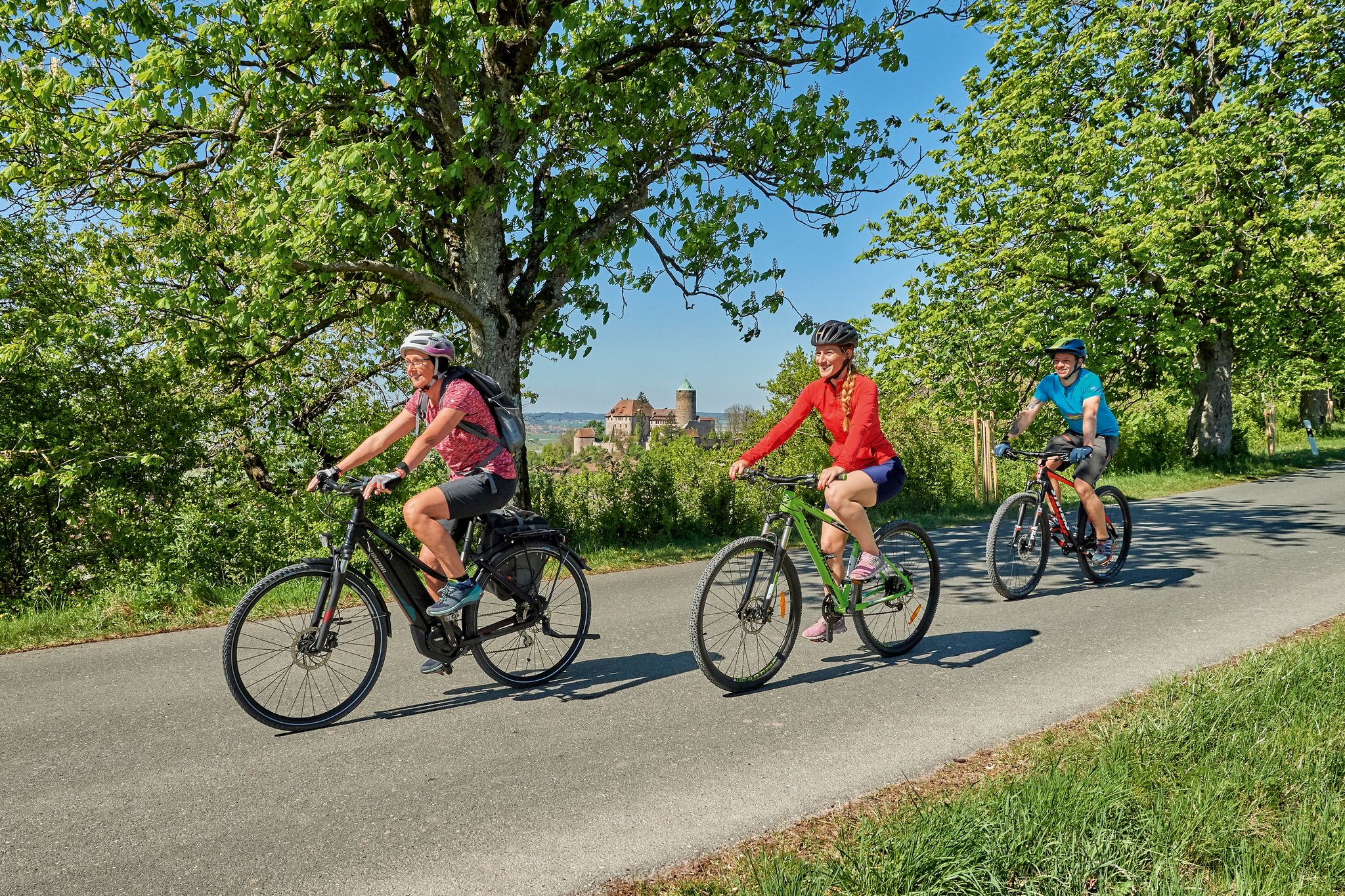
Sustainable cycling holidays — e-bike Tours through Franconia

Wonderful Green Band
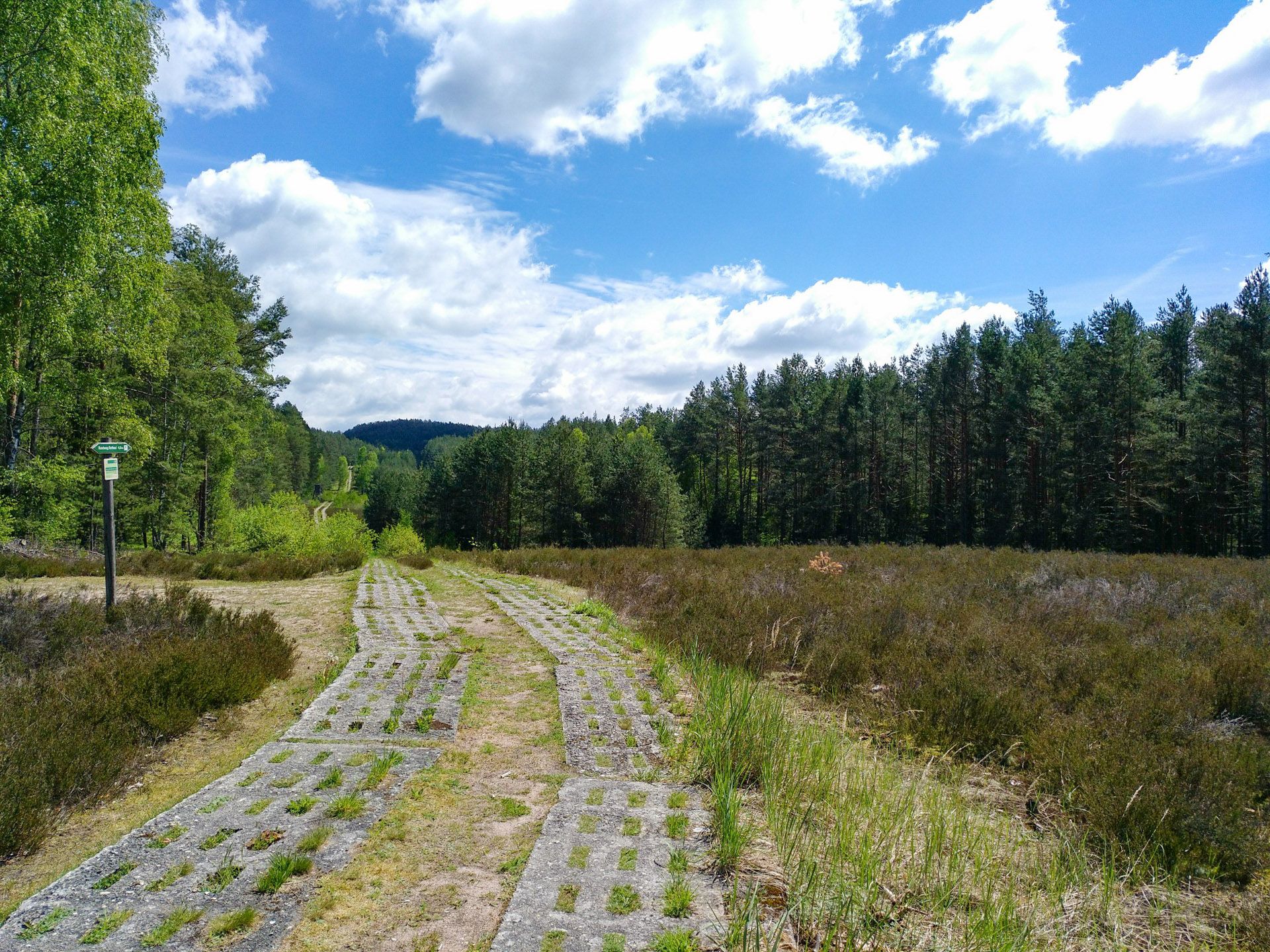
Discover the Green Belt in Germany’s Thuringian Slate Mountains with BUND
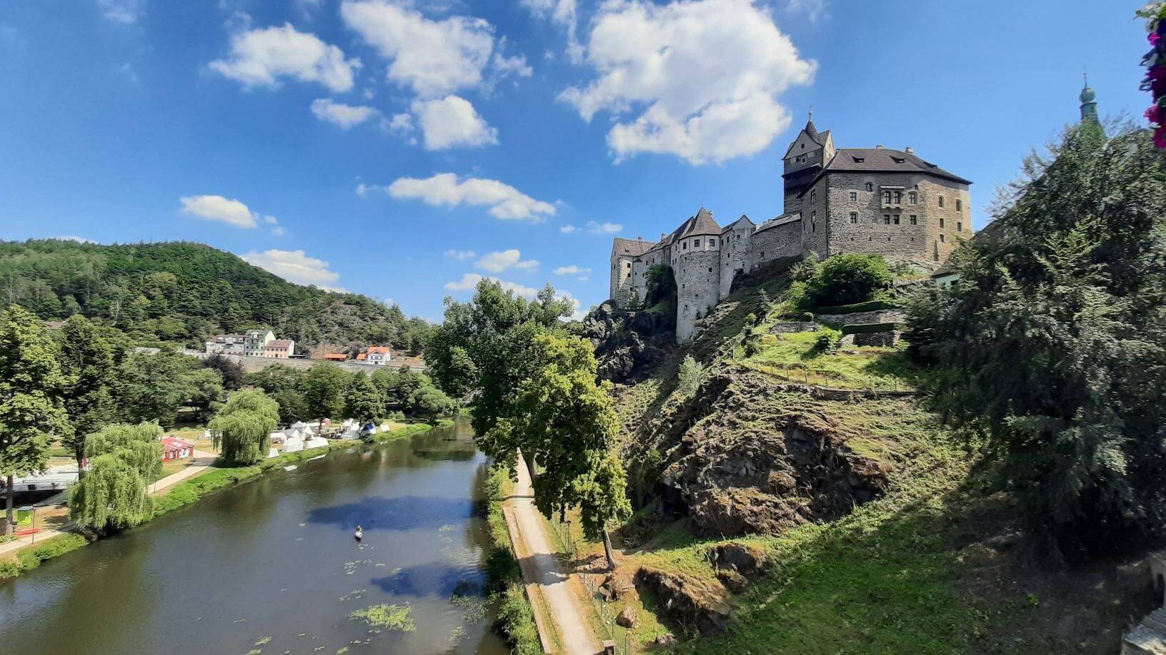
Through the heart of Europe – riding the Euregio Egrensis
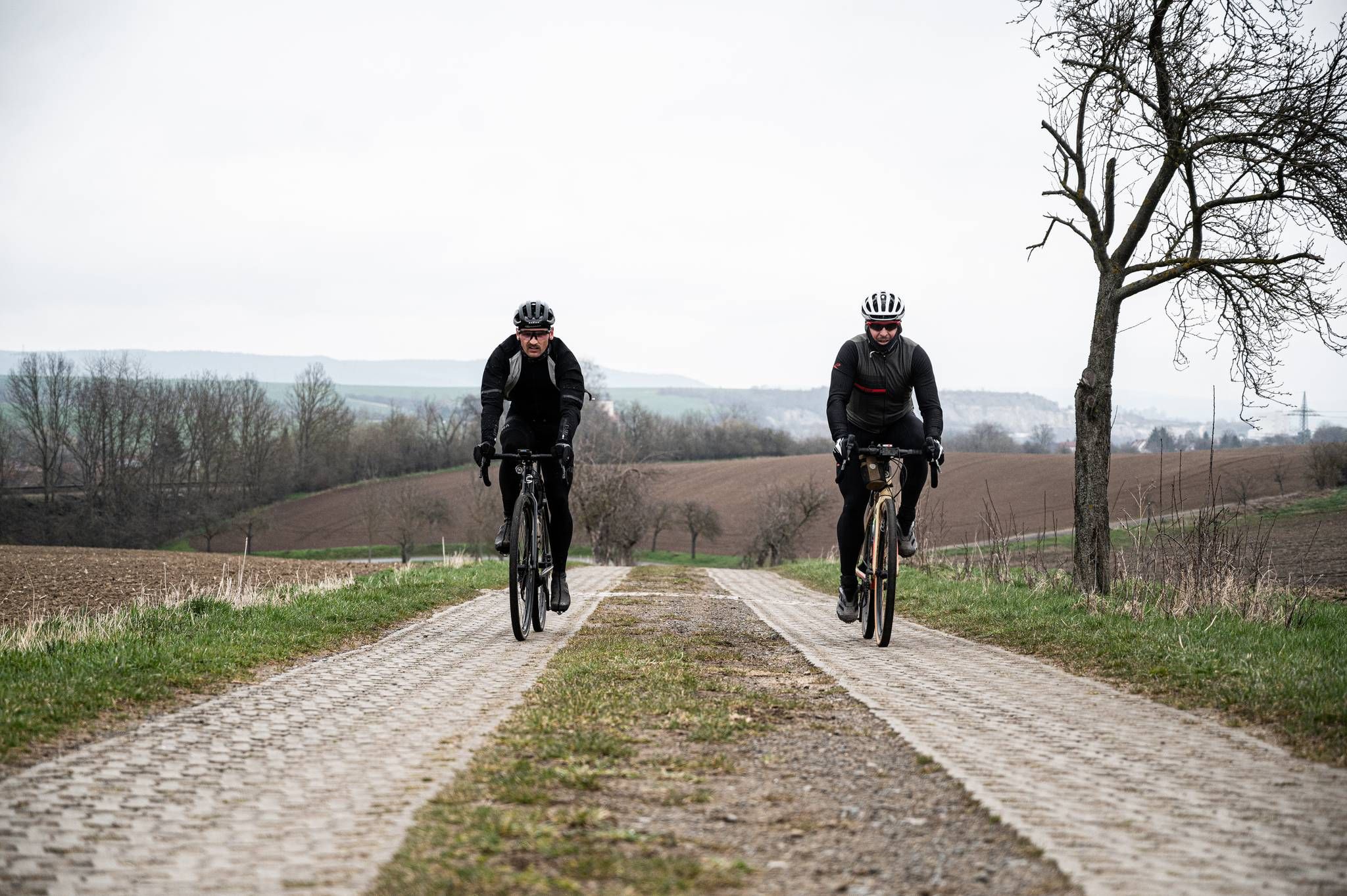
Cycling across Germany – my journey to the southernmost point of Germany
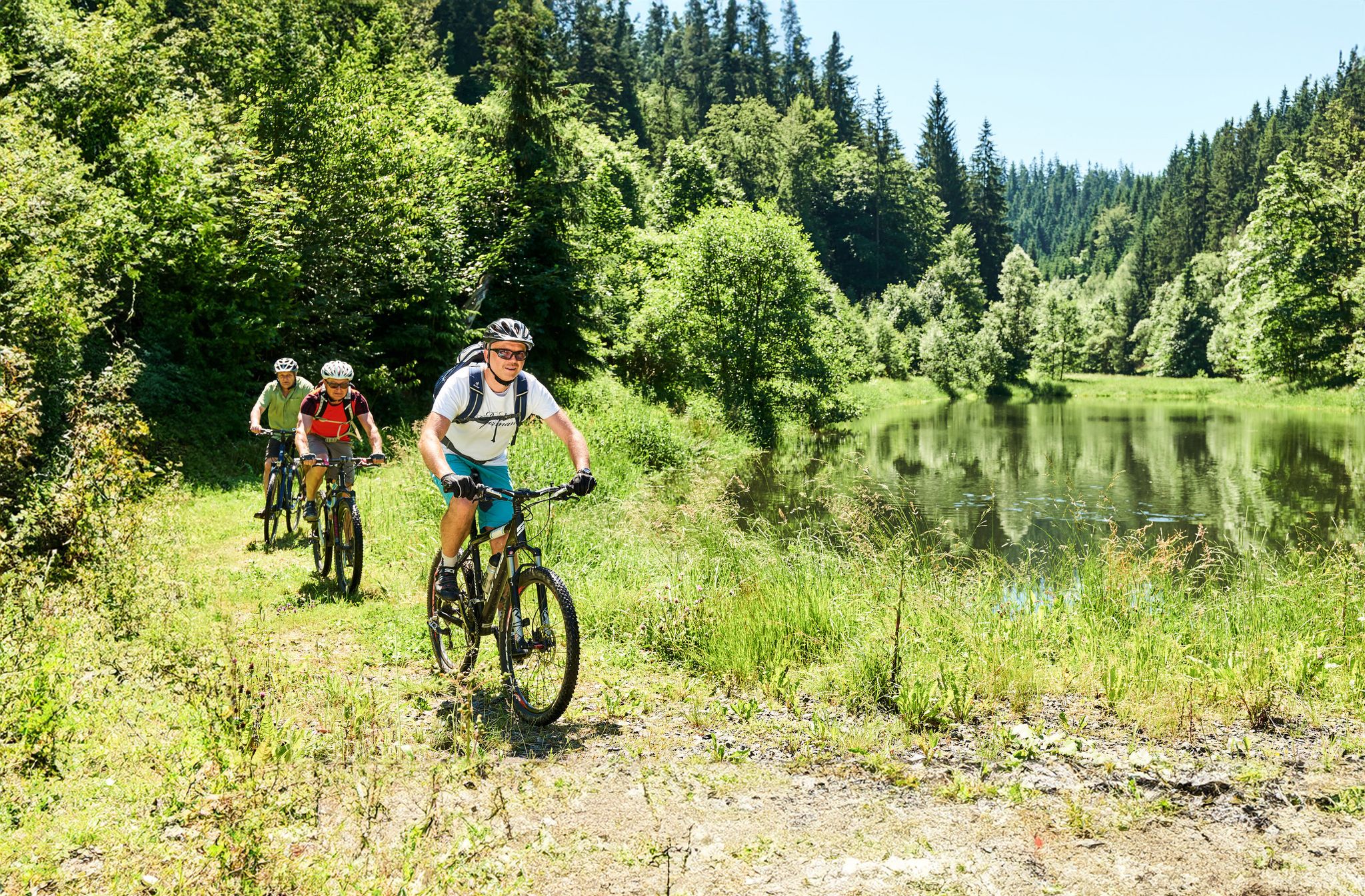
Magical woodland & trails – cycling in Germany’s Franconian Forest

The Franconian Trail – A Diverse Hiking Dream Across 24 Stages
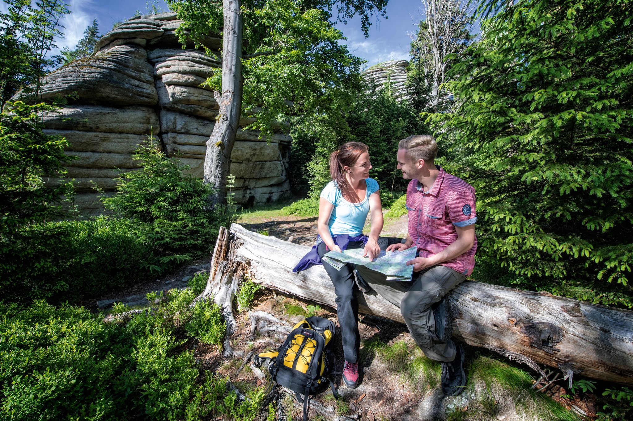
The Franconian Mountain Trail – 21 Stages of Magical Summit Bliss
Other adventures in the Franconian Forest


Tips from the Community

The Peterlesstein is a fascinating natural monument. The 589-meter-high mountain consists of serpentinite rock with magnetite inclusions, which are said to make compass needles go haywire here. However, our compass showed the cardinal directions normally, even though we tried at different spots.
15
0

Parking area for hikers. Good starting point for hikes, cross-country skiing, or bike tours.
0
0
The Frankenwarte (Frankenwarte) stands atop the 679-meter-high Hirschhügel (Hirschhügel). The eight-and-a-half-meter-high, round stone tower offers a panoramic view to the northeast, to the edge of the Höllental valley, to Lichtenberg and Bad Steben, and to the west to the hills near Nordhalben. To the south, Geroldsgrün, the 729-meter-high Spitzberg, and the 758-meter-high Schneidberg can be seen, and hidden behind them, the highest peak in the Franconian Forest, the 794-meter-high Döbraberg. To the southeast, the view extends to the Fichtel Mountains. The Frankenwarte was built and is maintained by the Franconian Forest Association. Plans to build an observation tower on the hill existed as early as 1930. However, the Frankenwarte was not inaugurated until August 12, 1951. In 2020, panoramic panels were installed on the parapet of the viewing platform, illustrating the towns and landscape features visible from here.
13
0

Viewpoint on the Schlossberg with a mushroom as a seat with weather protection
1
1
At 792 meters, the fourth-highest peak in the Franconian Forest may be unspectacular, but it does offer a wonderful rest area. The Bobengrün Franconian Forest Association inaugurated a new covered seating area with a summit register in September 2024 to raise awareness of the mountain.
14
1

quite overgrown in summer
0
1

There's a nice covered seating area and a summit register. But unfortunately, the summit offers no view at all.
3
1

Beautiful place, worth it
0
0
Frequently Asked Questions
Which mountain peaks in the Franconian Forest offer the most impressive panoramic views?
For breathtaking panoramic views, consider visiting the Prinz-Luitpold Tower on Döbraberg, the highest peak in the region. From its observation tower, you can see the Fichtel Mountains, Thuringian Forest, and even the Ore Mountains on a clear day. The Radspitz Tower also provides extensive vistas towards the Fichtelgebirge and Thuringian Forest. Additionally, the Frankenwarte Observation Tower on Hirschhügel offers clear views of the Höllental valley and surrounding hills, with panoramic panels to identify landmarks.
Are there family-friendly mountain peaks or trails in the Franconian Forest?
Yes, the Franconian Forest offers several family-friendly options. The Döbraberg area, for instance, is suitable for families, featuring well-developed paths and the Döbraberg Walking and Ski Center which provides facilities. Many trails in the region are designed to be accessible, allowing families to enjoy the natural beauty together. The overall character of the Franconian Forest with its forested plateaus makes it generally welcoming for family outings.
What unique natural features can be found on the mountain peaks of the Franconian Forest?
One particularly unique natural feature is found at Weißenstein, where the largest single occurrence of eclogite—a rare green rock with red inclusions—in Central Europe is located. This area is under nature protection, making it a fascinating spot for those interested in geology. The region is also characterized by its extensive forested plateaus and diverse forest landscapes.
What kind of outdoor activities can I do near the mountain peaks in the Franconian Forest?
The Franconian Forest is a hub for outdoor activities. You can explore numerous hiking trails, including the 243.5 km long FrankenwaldSteig and 31 shorter FrankenwaldSteigla routes. For specific hiking routes, check out the Hiking in the Franconian Forest guide. The region also offers opportunities for running, with various trails detailed in the Running Trails in the Franconian Forest guide, and gravel biking, as highlighted in the Gravel biking in the Franconian Forest guide.
When is the best time to visit the Franconian Forest for mountain peak hikes?
The Franconian Forest is beautiful year-round, but the best time for hiking its mountain peaks is typically from spring to autumn. During these seasons, the weather is generally mild, and the trails are clear. Spring brings lush greenery, while autumn offers vibrant fall foliage. Some observation towers, like the Prinz-Luitpold Tower, may be closed during winter months, reopening around May 1st.
Are there any historical sites or man-made monuments on the peaks?
Yes, many peaks in the Franconian Forest feature historical or man-made monuments, often in the form of observation towers. The Prinz-Luitpold Tower on Döbraberg, inaugurated in 1902, is a prominent example. The Frankenwarte Observation Tower, built in 1951, stands on Hirschhügel. Additionally, the Weißenstein Tower, constructed in 1925, was built on the foundations of a medieval guard tower, connecting it to a system of historical waiting towers.
What is the highest mountain peak in the Franconian Forest?
The highest mountain peak in the Franconian Forest is the Döbraberg, reaching an elevation of 794 meters. It is a popular destination for hikers and offers expansive views from the Prinz-Luitpold Tower located at its summit.
Are there places to eat or drink near the mountain trails?
Yes, you can often find places to eat or drink near popular mountain peaks and trails. For example, directly on the Weißenstein Tower, there is a recommended restaurant. Many hiking routes in the Franconian Forest pass through or near villages where you can find cafes and guesthouses. It's always a good idea to check local listings for specific opening hours.
What do visitors enjoy most about the mountain peaks in the Franconian Forest?
Visitors particularly enjoy the combination of challenging hikes and rewarding panoramic views from the numerous observation towers. The region's diverse forest landscapes and tranquil atmosphere are also highly appreciated. The komoot community has shown strong engagement, with over 900 upvotes and more than 1100 photos shared across the highlights, indicating a high level of satisfaction with the scenic beauty and outdoor experiences.
How accessible are the mountain peaks by public transport or car?
While specific public transport options vary by peak, many trailheads and mountain peaks in the Franconian Forest are accessible by car, often with designated parking areas. For instance, the Döbraberg Walking and Ski Center provides parking facilities. For detailed public transport information to specific starting points, it is advisable to consult local transport schedules, as the region is well-connected within Bavaria.
Are there any other notable peaks besides Döbraberg?
Beyond the Döbraberg, other significant peaks include the Wetzstein (792.7 meters), which is one of the highest elevations in the broader region, and the Schneidberg (758.8 meters), known for its tranquil, fully forested slopes ideal for immersion in nature. The Hirschhügel, home to the Frankenwarte Observation Tower, also offers excellent views.
What kind of terrain can I expect on the mountain trails?
The terrain in the Franconian Forest generally consists of forested plateaus, slopes, and grassy valleys. Trails can range from easy, well-maintained paths to more challenging routes with moderate ascents and descents. You'll encounter diverse forest landscapes, and some areas, like the Radspitze, feature unique geological formations such as silica slate. The region's extensive network of trails caters to various fitness levels.
Most popular routes in the Franconian Forest
Most popular attractions in the Franconian Forest

Get inspired with the komoot mobile app


Explore more
See even more amazing summits in the Franconian Forest with these guides:
