The best waterfall hikes and walks in the Franconian Forest
4.6
(21322)
73,378
hikers
35
hikes
Waterfall hiking trails in the Franconian Forest traverse a mid-altitude mountain range in Northern Bavaria, Germany, characterized by dense spruce and beech forests, scenic valleys, and varied topography. The region acts as a geological link between the Fichtel Mountains and the Thuringian Forest, featuring elevations up to 795 meters at Döbraberg. Hikers can explore areas like the Höllental Valley with the Selbitz River and the Steinach Gorge, contributing to diverse natural landscapes. The central watershed between the Main and Saale…
Last updated: August 18, 2026
4.7
(371)
986
hikers
10.6km
02:54
160m
160m
Moderate hike. Good fitness required. Easily-accessible paths. Suitable for all skill levels.
4.9
(13)
36
hikers
8.62km
02:26
180m
180m
Moderate hike. Good fitness required. Easily-accessible paths. Suitable for all skill levels.

Sign up for free
4.9
(7)
11
hikers
Hard hike. Very good fitness required. Easily-accessible paths. Suitable for all skill levels.
4.5
(4)
17
hikers
6.43km
01:45
90m
90m
Easy hike. Great for any fitness level. Easily-accessible paths. Suitable for all skill levels.
3.1
(8)
14
hikers
9.29km
02:32
130m
130m
Moderate hike. Good fitness required. Easily-accessible paths. Suitable for all skill levels.
Get access to more routes and recommendations from other explorers.
Sign up for free
Already have an account?
Our route recommendations are based on thousands of hikes, rides, and runs completed by other people on komoot.
Start today with a free account
Your next adventure awaits.
Login or Signup
Popular around Franconian Forest

Nature, the outdoors and adventure – hiking through the VGN's nature parks

Thousands of kilometres of hiking fun – long-distance hiking trails in Bavaria

Wonderful Green Band
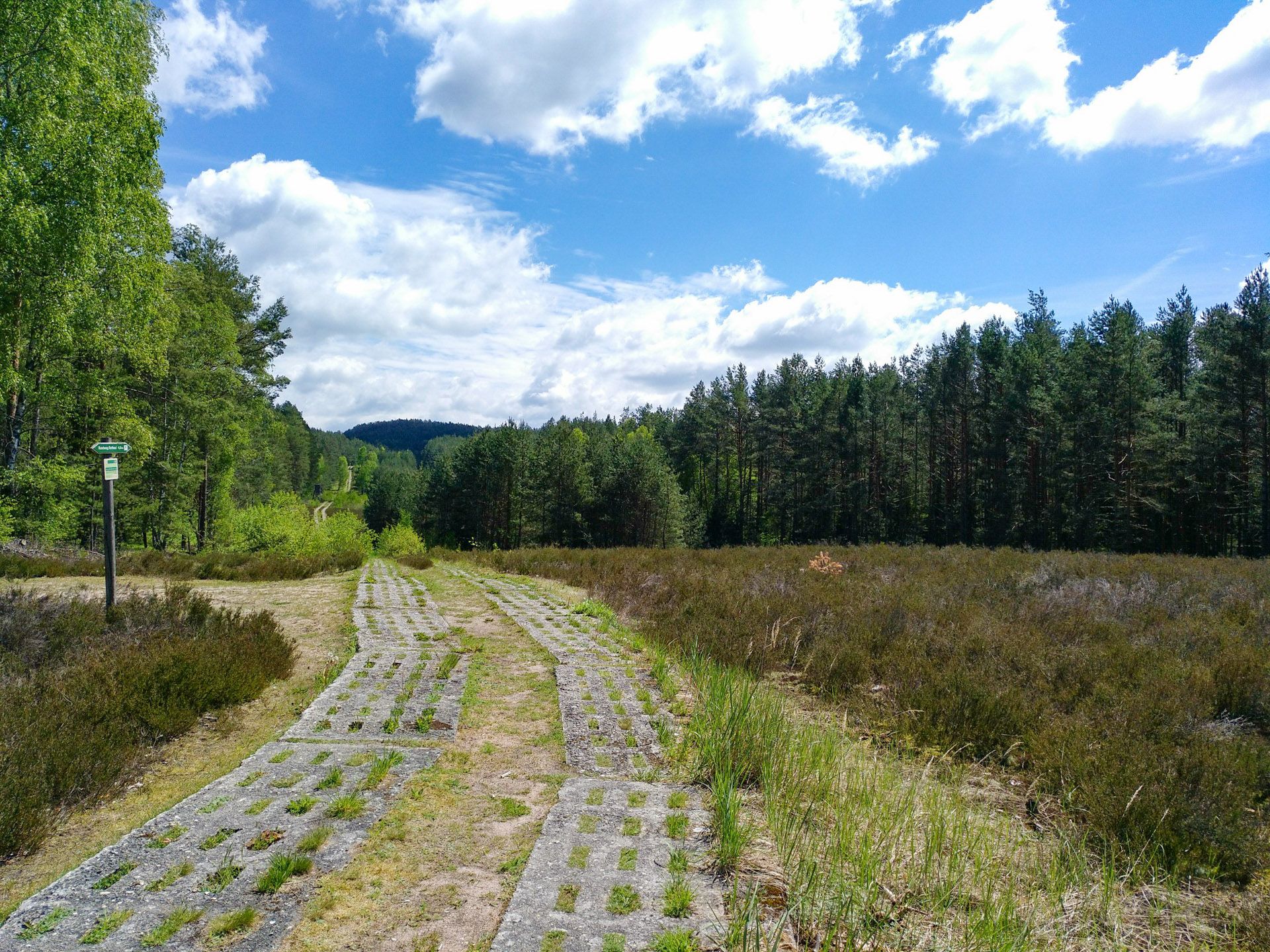
Discover the Green Belt in Germany’s Thuringian Slate Mountains with BUND

The Franconian Trail – A Diverse Hiking Dream Across 24 Stages
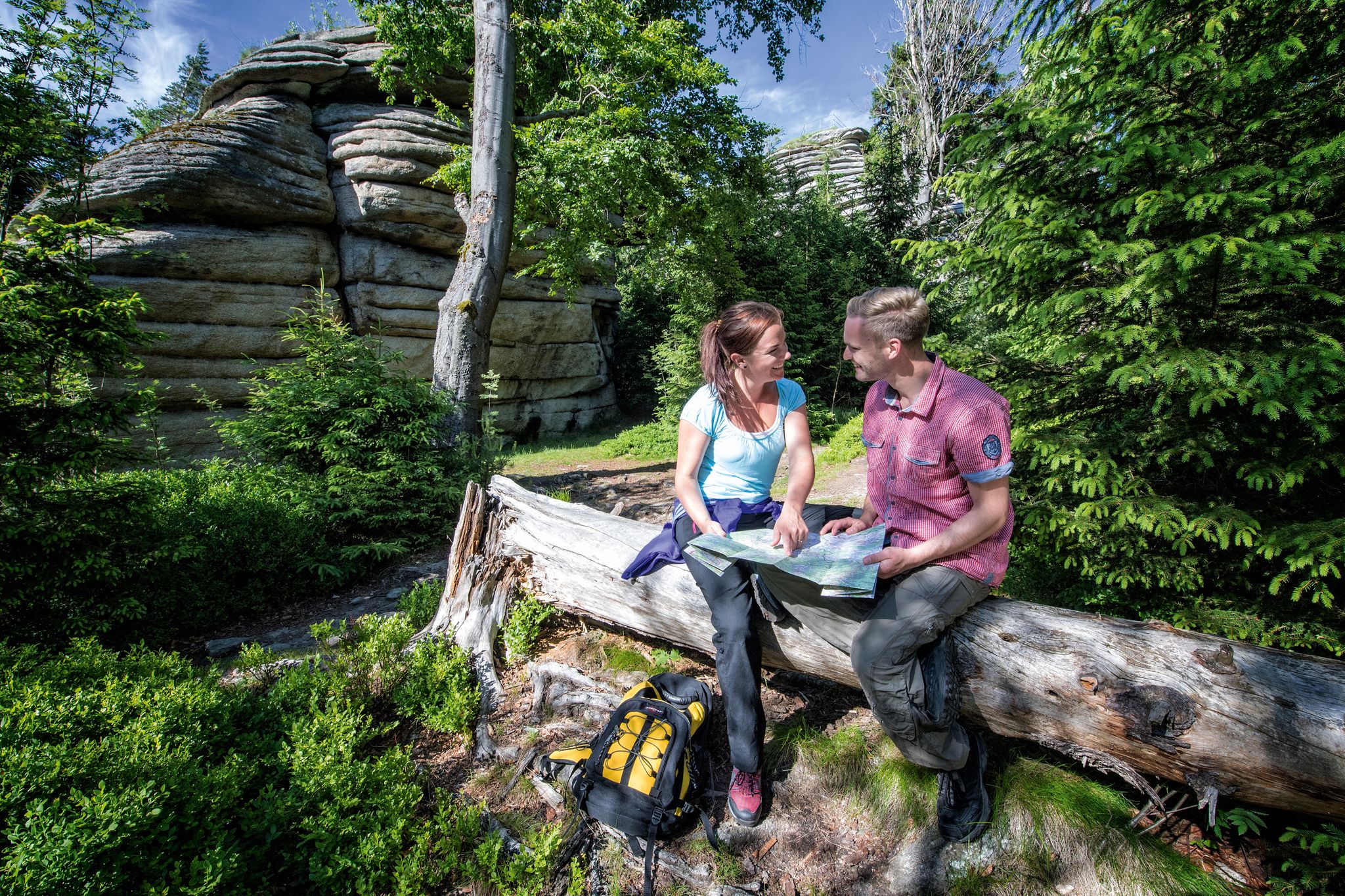
The Franconian Mountain Trail – 21 Stages of Magical Summit Bliss
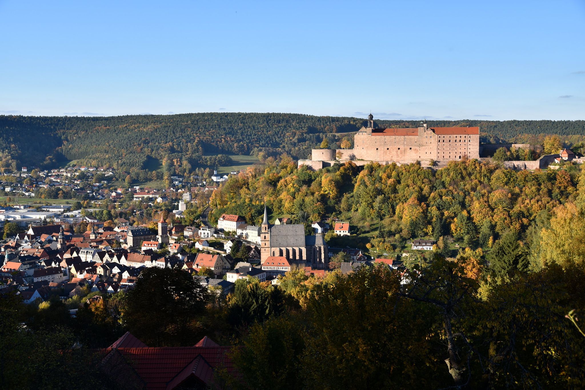
Stop by at the Margraves – hiking around Kulmbach in Bavaria
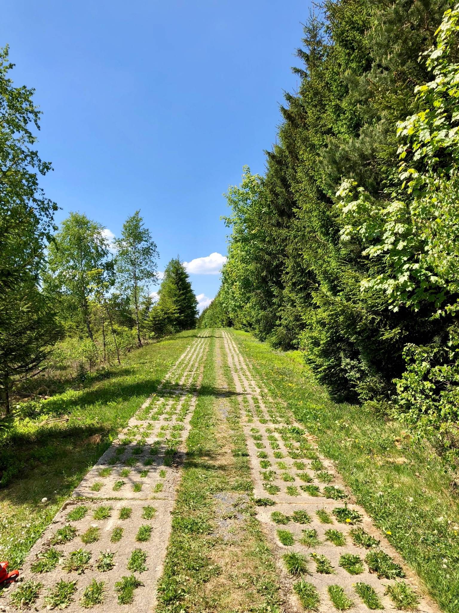
Experience history – day Tours at the Green Belt in Thuringia

Discover the nature along the “Greenbelt” together with the BUND
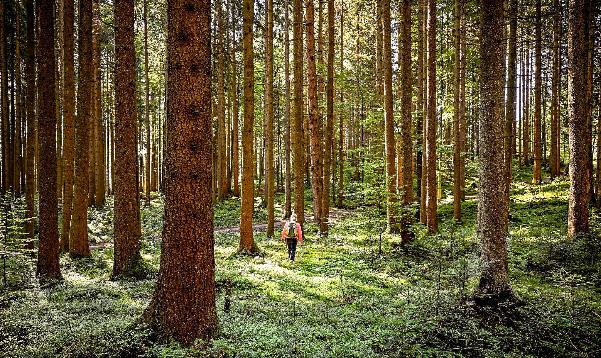
Active relaxation in the forests of Bavaria
Other adventures in the Franconian Forest


Tips from the Community


The archery course in the Ebnether Forest (officially called the Felsenkeller course) is operated by the Bowhunter Oberlangenstadt club. It is considered one of the most beautiful 3D courses in Northern Bavaria and is known for its challenging, rocky terrain. Here's what you can expect: There are a total of 32 stations with 3D targets, which have been fully open again since August 1, 2025, following renovations. The course leads through a wooded area with impressive rock formations and offers a variety of shots, including long-distance uphill shots. Bows of all types (including compound bows) are permitted, but crossbows are prohibited.
3
0
The Franconian Forest is a charming low mountain range in northeastern Bavaria, characterized by extensive forests, deep meadow valleys, and a long tradition as a hiking region. It lies between the Thuringian Forest to the north, the Fichtel Mountains to the southeast, and the Upper Main region to the south. The Franconian Forest Nature Park covers approximately 1,000 km² and is defined by three distinct sections: populated plateaus, large forested areas on the slopes, and deeply incised valleys. The Döbraberg (near Schwarzenbach am Wald) is the highest point at 794.6 m above sea level.
3
0

This horseshoe marks the remains of a rider who fell here.
0
0
The Ebnether Rock Gate is, so to speak, the "photogenic centerpiece" of the rock labyrinth. It is an imposing natural archway, formed by the erosion and drifting apart of massive sandstone blocks. The gate is so high and wide that adults can comfortably walk through it upright. The massive walls consist of the Rhaetian-Lias sandstone typical of the region. It is a prime example of joint formation. Over millennia, the rock fissures have widened due to weathering, leaving behind this arch-like opening.
3
0

The Teufelsgraben footbridge no longer exists.
0
0

In addition to the Jacob's Cave, the rock formations also include the Franzenshöhle (Franzen's Cave). According to a story, two robbers named after them hid there in the 16th century. In fact, the caves were probably named after the lords of the Ebneth castle: Franz Paul Christoph (1750-1823) and Jakob Wolfgang (1751-1817) von Seckendorff-Arberdar.
1
1

Frequently Asked Questions
How many waterfall hiking trails are there in the Franconian Forest?
The Franconian Forest offers a good selection of waterfall hiking trails, with 38 routes available for exploration. These range in difficulty from easy strolls to more challenging paths.
What is the best time of year to go waterfall hiking in the Franconian Forest?
The Franconian Forest is beautiful year-round, but for waterfall hikes, spring after snowmelt or periods of heavy rain will offer the most impressive water flow. Summer months are also pleasant for hiking, and you might even catch the 28-meter-high water fountain at the Höllental Hydroelectric Plant.
What makes the Franconian Forest a unique place for waterfall hikes?
The Franconian Forest, often called the 'green crown of Bavaria,' is characterized by its unspoiled nature, dense spruce and beech forests, and varied topography. Its geological position between the Fichtel Mountains and the Thuringian Forest contributes to diverse landscapes, including scenic valleys like the Höllental, which enhance the waterfall hiking experience.
Are there easy waterfall hikes suitable for beginners in the Franconian Forest?
Yes, there are several easy waterfall hikes. For instance, the Pfersag Waterfall – Pfersag Waterfall loop from Küps is an easy 3.2 km (2 miles) route that takes just over an hour to complete, perfect for a relaxed outing.
What kind of terrain can I expect on waterfall trails in the Franconian Forest?
You can expect varied terrain, from soft, mossy forest paths to compact gravel. The region features extensive forests, scenic valleys, and diverse natural features, so trails may include gentle slopes, some ascents, and descents, especially in areas like the Höllental Valley or near the Steinach Gorge.
What are some notable natural features or landmarks I might encounter on waterfall hikes?
Beyond the waterfalls themselves, you might encounter the 'wildly romantic' Höllental (Frankenwald Nature Park) with its impressive Selbitz Viaduct and the Devil's Bridge. The Steinach Gorge also offers scenic beauty. Some routes, like the Rock cellars in the Ebnet Forest – Pfersag Waterfall loop from Küps, pass by interesting rock formations and historical sites.
Are there any circular waterfall walks in the Franconian Forest?
Yes, many of the waterfall trails in the Franconian Forest are designed as circular routes, allowing you to start and end at the same point. A popular example is the Pfersag Waterfall – Turtle Tree Trunk loop from Küps, which is a moderate 10.7 km (6.7 miles) trail.
Are the waterfall hiking trails in the Franconian Forest suitable for families with children?
Many trails in the Franconian Forest are suitable for families, especially the easier and moderate routes. The region's tranquil forests and natural features provide an engaging environment for children. Always check the specific route's length and difficulty to ensure it matches your family's capabilities.
Can I bring my dog on waterfall hikes in the Franconian Forest?
Generally, dogs are welcome on hiking trails in the Franconian Forest. It's always advisable to keep your dog on a leash, especially in nature protection areas or when encountering wildlife. Ensure you carry water for your pet and clean up after them.
What do other hikers enjoy most about hiking in the Franconian Forest?
The Franconian Forest is highly rated by the komoot community, with an average score of 4.6 stars from over 19,000 reviews. Hikers often praise the unspoiled nature, the tranquility of the dense forests, and the well-maintained trail network that offers diverse landscapes and natural attractions.
Are there places to eat or stay near the waterfall hiking trails?
The Franconian Forest features tranquil villages with typical Franconian half-timbered houses, where you can find local hospitality. Many routes offer opportunities to enjoy traditional 'Brotzeit' (a hearty snack) or find accommodation. While specific cafes or pubs aren't listed for each trail, the region is known for its welcoming atmosphere for hikers.
Where can I find parking for waterfall hikes in the Franconian Forest?
Parking availability varies by trailhead. For routes starting in or near towns like Küps, you can often find designated parking areas. It's recommended to check the specific route details on komoot for information on parking at the starting point of your chosen waterfall hike.
Most popular routes in the Franconian Forest
Most popular attractions in the Franconian Forest

Get inspired with the komoot mobile app


Explore more
Browse the best Hikes in other regions.
