The best mountain hikes in the Franconian Forest
7
hikers
1
hike
Mountaineering in the Franconian Forest offers routes through a diverse low mountain range, characterized by extensive evergreen forests, rolling hills, and scenic valleys. The region features deeply carved valleys, lush meadows, and clear creeks, with rivers like the Saale flowing through. While the Franconian Forest itself is a low mountain range, its broader region, including Franconian Switzerland, is renowned for limestone rock formations and climbing opportunities. The highest point, Mount Döbra, reaches 795 meters (2,608 feet), providing panoramic views.
Best mountaineering routes in the Franconian Forest
- The most popular mountaineering route is Rock Path Höllental – Höllental along the Selbitz loop from Blankenstein (Saale), a 7.0 miles (11.2 km) trail that takes 3 hours 27 minutes to complete. This moderate route explores the wild and romantic Höllental valley.
- Another top favourite among local mountaineers is 🏔️ Great Waldstein – Großer Waldstein loop from Zell im Fichtelgebirge, a moderate 4.7 miles (7.5 km) path. This route ascends to the Großer Waldstein, offering views over the surrounding forested landscape.
- Local mountaineers also love the Fellberg – Karlsblick loop from Steinach (Thür), a 5.6 miles (9.0 km) trail leading through varied terrain with an ascent to Fellberg, often completed in about 2 hours 48 minutes.
- Mountaineering in the Franconian Forest is defined by dense forests, rolling hills, and deeply carved valleys. The network offers options for different ability levels, primarily moderate routes.
- The routes in Franconian Forest are highly rated by the komoot community with an average score of 5.0 stars from more than 1 review. More than 10 mountaineers have used komoot to explore Franconian Forest's varied terrain.
Last updated: November 18, 2026
4
hikers
Moderate mountaineering route. Good fitness required. Mostly walkable paths. Sure-footedness required.
2
hikers
7.52km
02:12
220m
220m
Moderate mountaineering route. Good fitness required. Easily walkable paths.

1
hikers
Moderate mountaineering route. Good fitness required. Easily walkable paths.
Our route recommendations are based on thousands of hikes, rides, and runs completed by other people on komoot.
Start today with a free account
Your next adventure awaits.
Popular around Franconian Forest
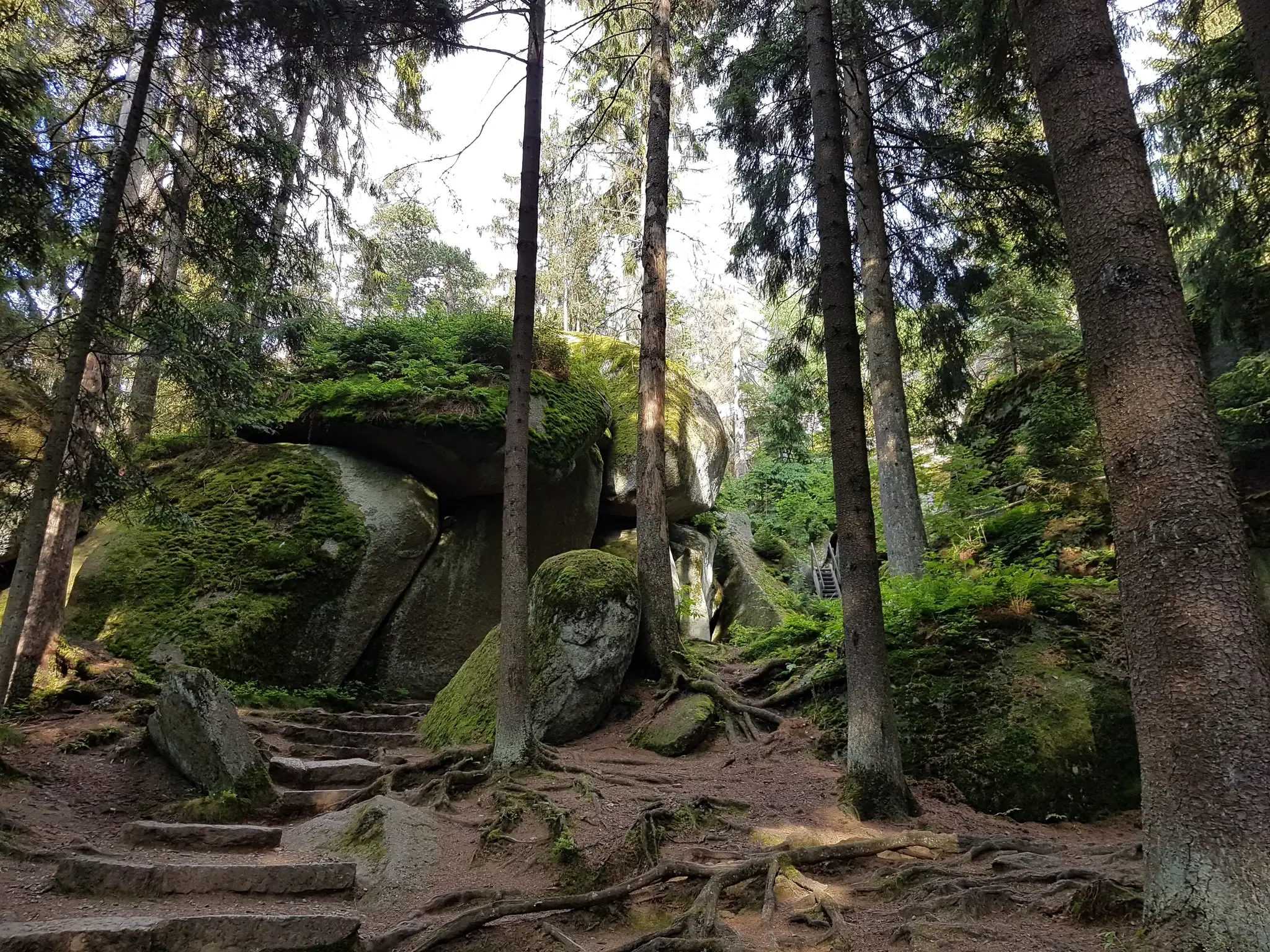
Nature, the outdoors and adventure – hiking through the VGN's nature parks
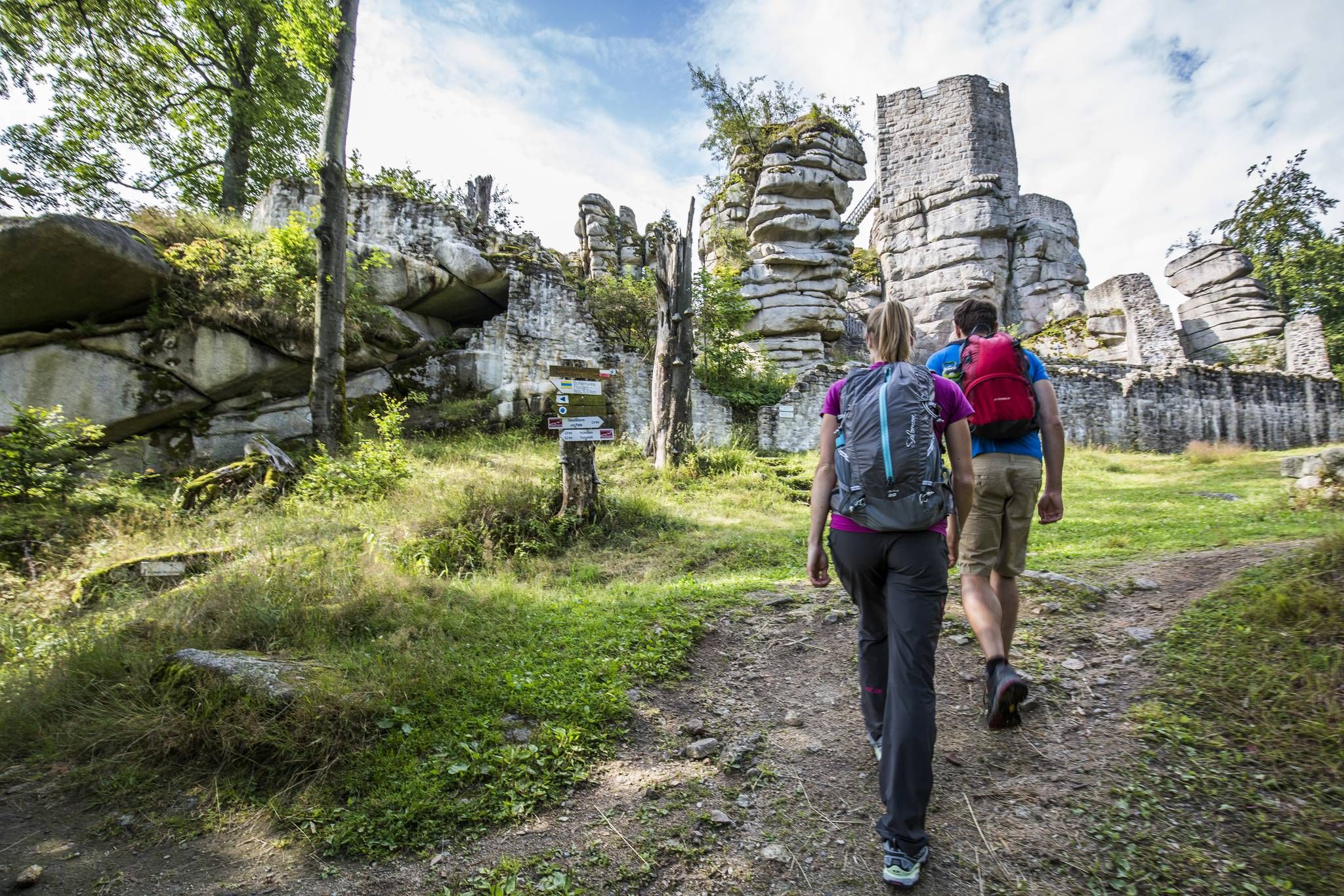
Thousands of kilometres of hiking fun – long-distance hiking trails in Bavaria
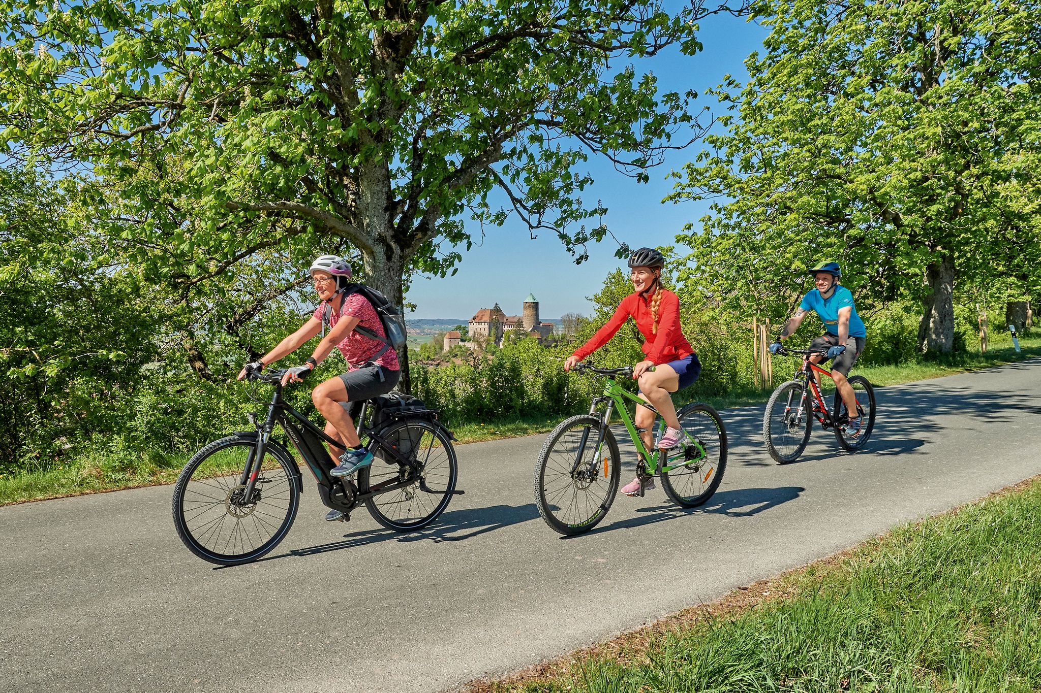
Magnificent cycling holidays — e-bike Tours through Franconia
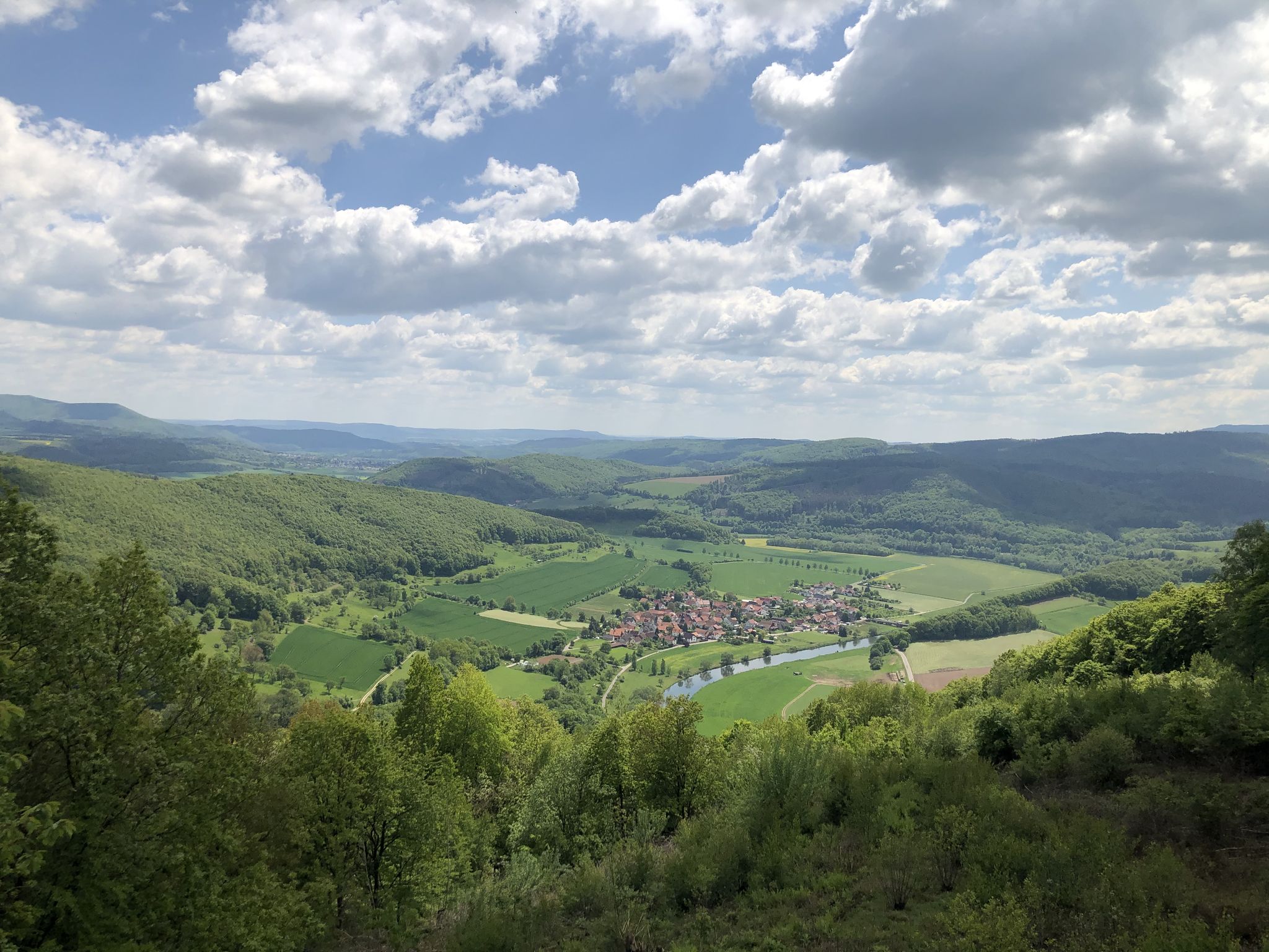
Wonderful Green Band
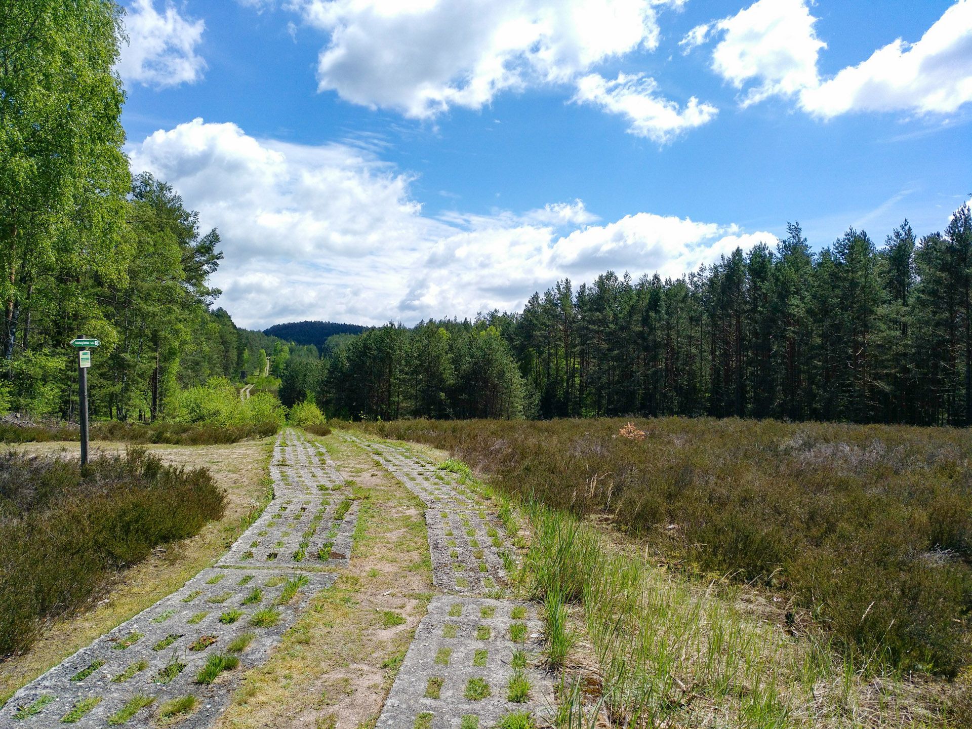
Discover the Green Belt in Germany’s Thuringian Slate Mountains with BUND
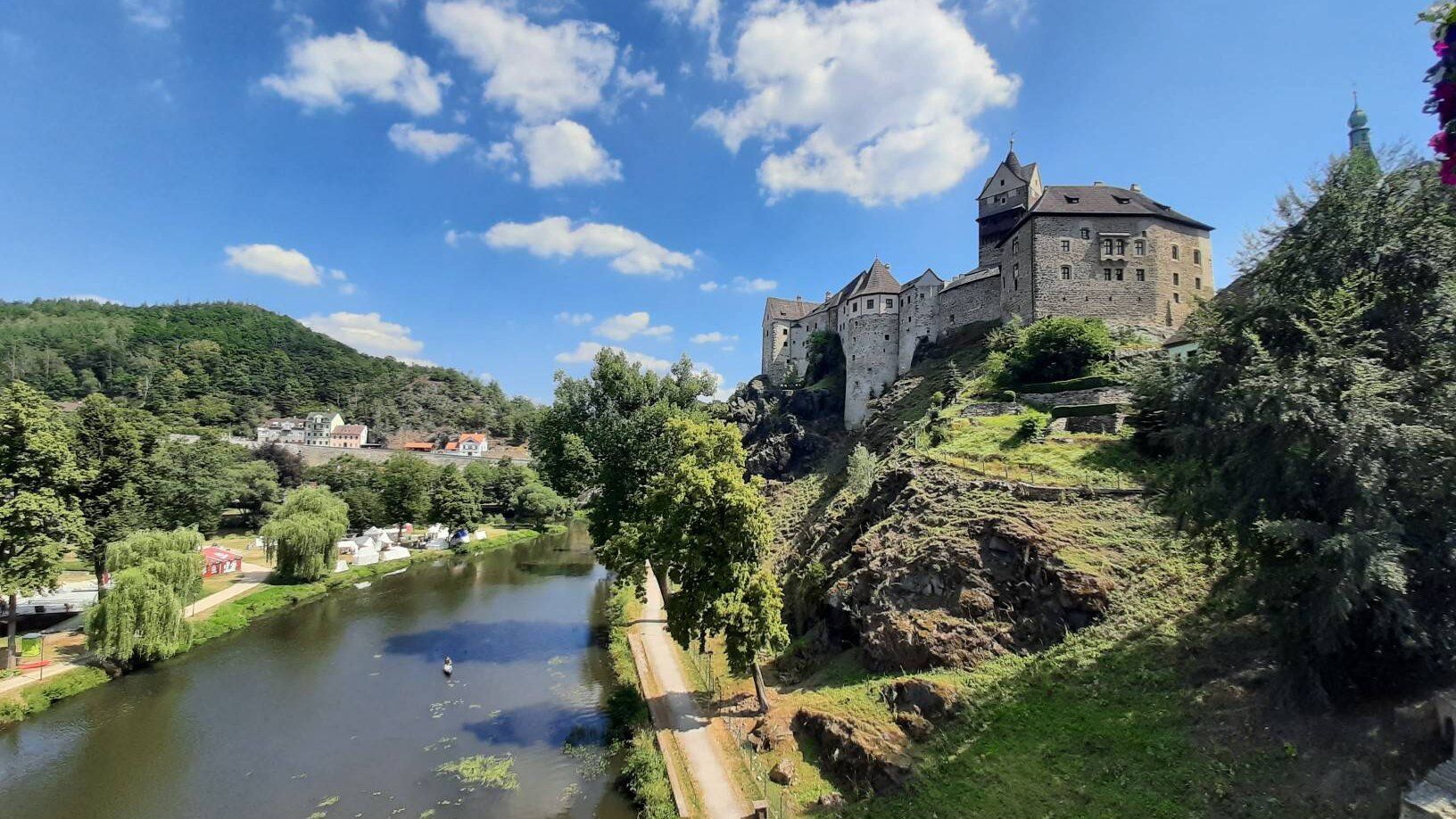
Through the heart of Europe – riding the Euregio Egrensis
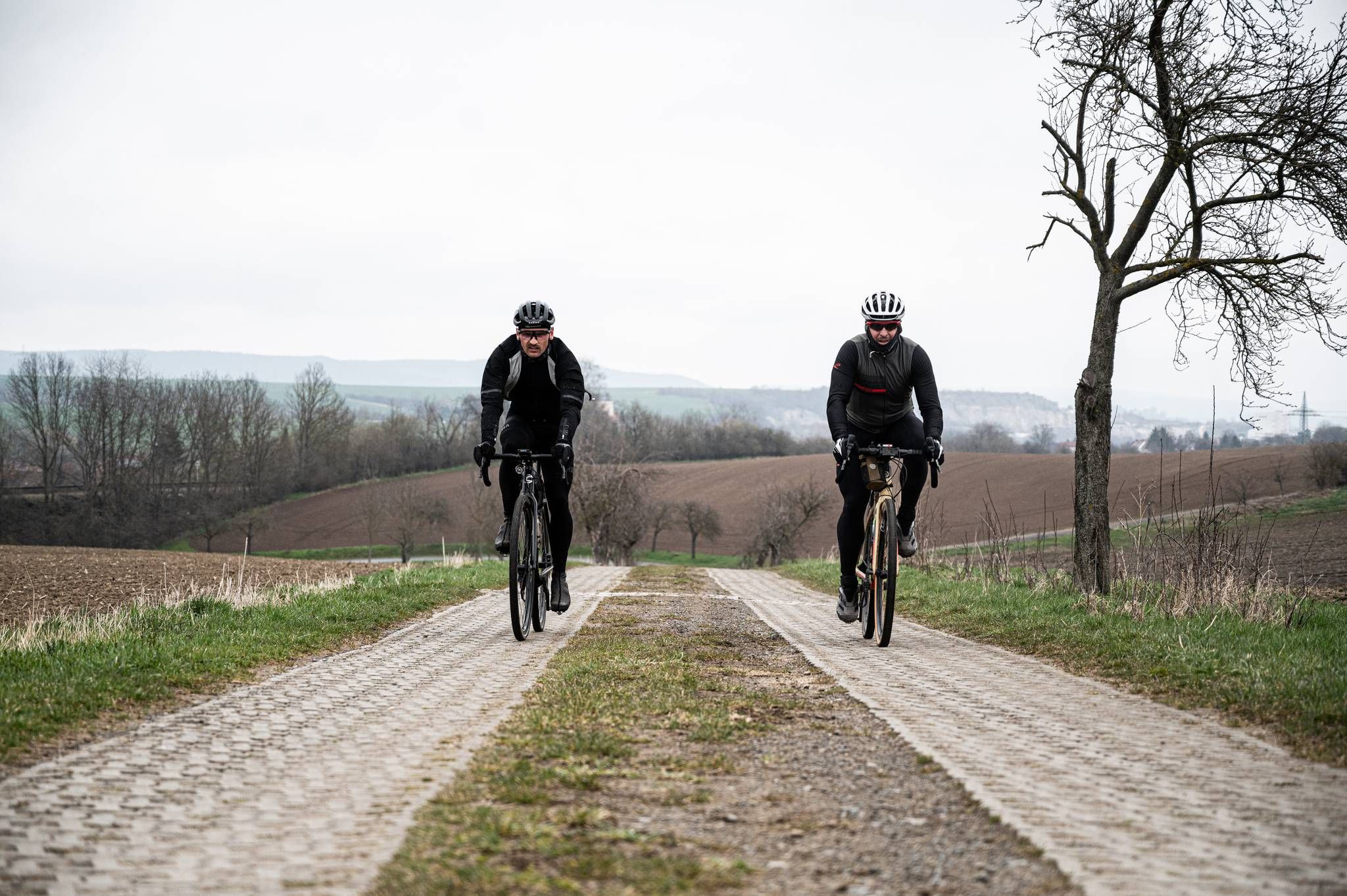
Cycling across Germany – my journey to the southernmost point of Germany
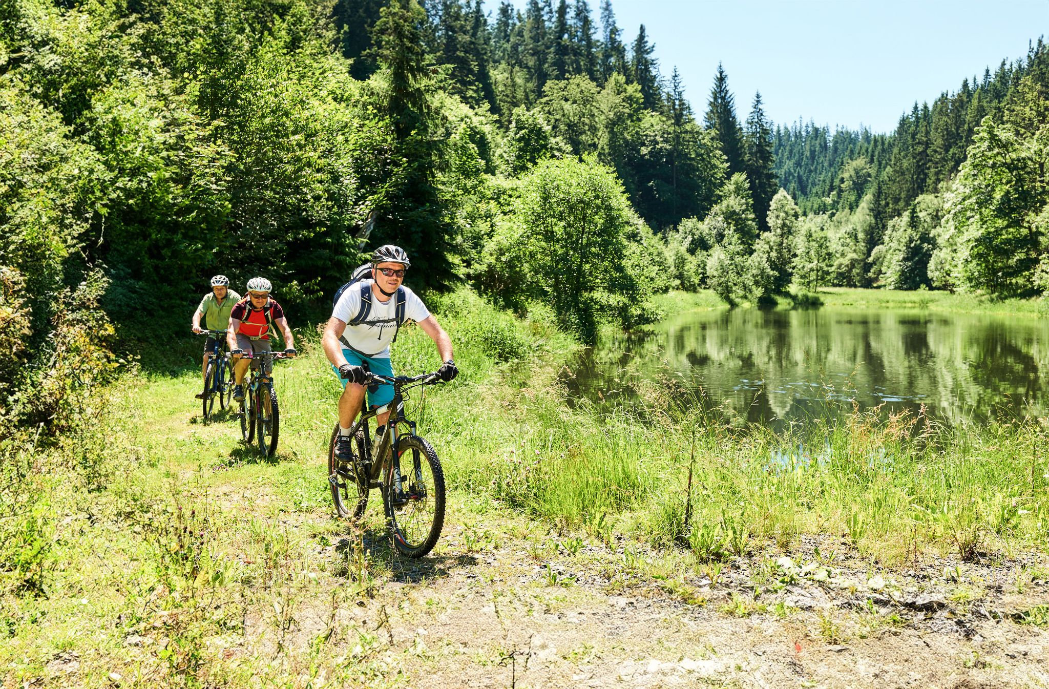
Magical woodland & trails – cycling in Germany’s Franconian Forest
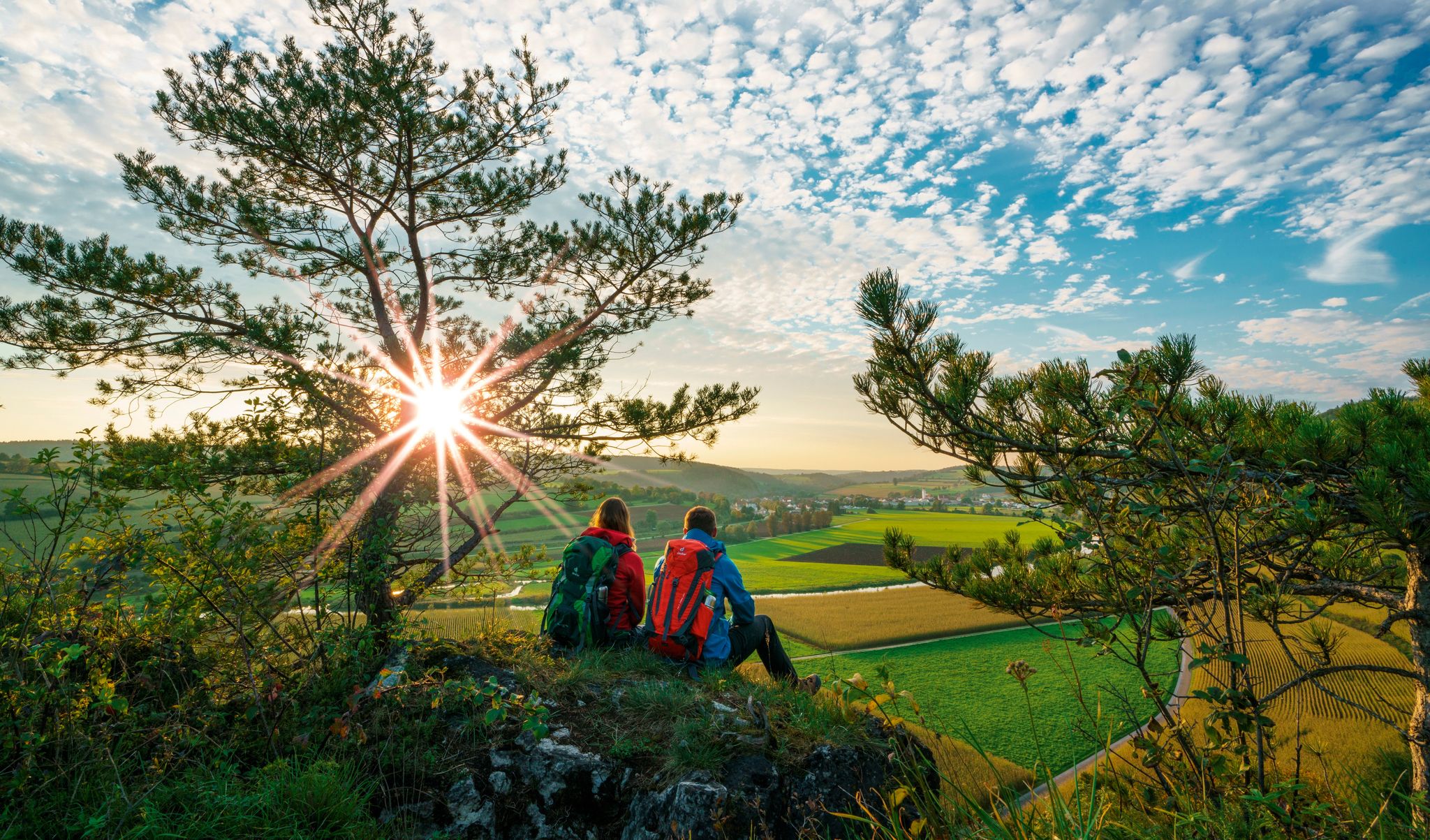
The Franconian Trail – A Diverse Hiking Dream Across 24 Stages
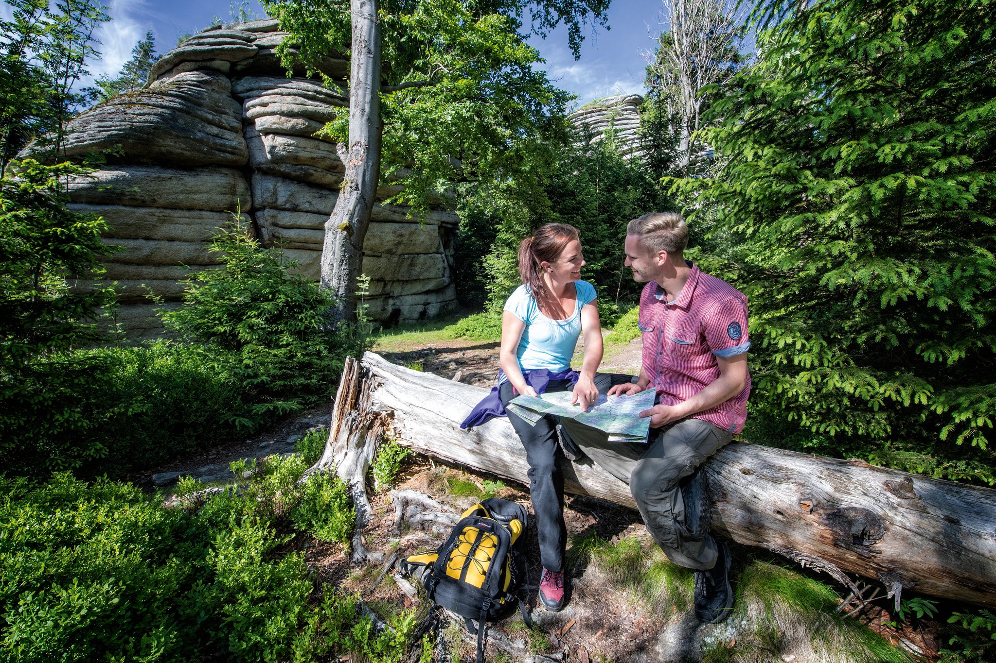
The Franconian Mountain Trail – 21 Stages of Magical Summit Bliss
Other adventures in the Franconian Forest


Tips from the Community

On the approximately 700-square-meter area directly on the Bavarian-Thuringian state border, over 20 regional and supra-regional routes begin or end. At the center is a six-meter-high sculpture made of metal and wood, whose letters (R, K, F, G) refer to the four major long-distance hiking trails: Rennsteig. Germany's oldest and most famous ridge trail (approx. 168–169 km to Hörschel). Traditionally, hikers throw a stone brought from the Werra into the Selbitz at the neighboring Selbitz Bridge. Kammweg Erzgebirge-Vogtland. A long-distance hiking trail along the Czech-German border. Frankenweg. Leads from the Rennsteig through the Frankenwald and Franconian Switzerland to the Swabian Alb. Fränkischer Gebirgsweg. Connects the Frankenwald with the Fichtelgebirge and the Franconian Alb.
4
0

The Blankenstein Rennsteig hiking base in the Blankenstein district of the municipality of Rosenthal am Rennsteig is the ideal starting or finishing point for hikes on the famous Rennsteig. Various long-distance hiking trails meet at the local "hiking hub". For hikers and cyclists, the station offers a cozy place to stop for a break with simple meals, cold drinks, and coffee.
3
0
Imposing rock formations and natural river sections of the Selbitz. Views of striking rocks such as the Hirschsprung and the König David. Historic river crossings such as the Jungfernsteg and the Teufelssteg.
1
0
The Blankenstein hiking base is a central meeting point for hikers in Thuringia. The place is considered the „hub of hiking“ as more than 20 hiking trails meet here. Among other things, this is the official start or end point of the famous Rennsteig, Germany's oldest ridge trail.
5
0

The Waldsteinhaus restaurant is located in an idyllic setting on the Großer Waldstein and has a beer garden. https://www.waldsteinhaus.com/
3
0
Massive bear trap made of granite 🧐
3
0
Another Teufelstisch at Waldstein 👿
3
0

It's just incredibly beautiful here 😊.
0
1
Frequently Asked Questions
How many mountaineering routes are available in the Franconian Forest?
Currently, komoot features a selection of mountaineering routes in the Franconian Forest. These routes are primarily of moderate difficulty, offering a good balance for various skill levels.
What is the typical difficulty level for mountaineering routes in the Franconian Forest?
The mountaineering routes in the Franconian Forest are predominantly of moderate difficulty. They are suitable for those with some hiking experience, offering engaging ascents and descents without requiring advanced technical skills.
When is the best time of year for mountaineering in the Franconian Forest?
The Franconian Forest is beautiful year-round, but the best time for mountaineering is typically from spring through autumn. During these seasons, the weather is generally mild, and the extensive forests are lush, providing a tranquil and immersive natural experience. Winter can offer unique snowy landscapes, but some trails might be more challenging due to conditions.
Are there circular mountaineering routes in the Franconian Forest?
Yes, many mountaineering routes in the Franconian Forest are circular. For example, the Rock Path Höllental – Höllental along the Selbitz loop from Blankenstein (Saale) is a popular moderate loop that explores the wild and romantic Höllental valley.
What kind of terrain can I expect on mountaineering trails in the Franconian Forest?
You can expect diverse terrain, from extensive evergreen forests and rolling hills to deeply carved valleys with meadows and clear creeks. The region is known as the "Green Crown of Bavaria" due to its dense woodlands. While not alpine, you'll encounter varied ascents and descents, characteristic of a mid-altitude mountain range.
Are there any long-distance hiking trails that include parts of the Franconian Forest?
Yes, the Franconian Forest is home to extensive trail networks. The 242-kilometer Frankenwaldsteig is a notable long-distance circular hiking trail. Additionally, the Franconian Mountain Path combines the Franconian Forest with the Fichtel Mountains and Franconian Switzerland, offering a magnificent 428-kilometer route.
What natural features or landmarks can I see along mountaineering routes?
The region boasts several natural highlights. The Döbraberg, the highest point, offers panoramic views. The Höllental Valley is a protected nature reserve with the Selbitz River. You might also encounter unique rock formations, especially in areas bordering the Franconian Jura.
Are there any viewpoints offering panoramic views in the Franconian Forest?
Absolutely. The Radspitz Tower and the Prinz-Luitpold Tower on Döbraberg are excellent spots. The Prinz-Luitpold Tower, often called the "Eiffel Tower of the Franconian Forest," provides stunning views over the Franconian Forest, Fichtelgebirge, and Thuringian Forest.
What do other mountaineers enjoy the most about mountaineering in the Franconian Forest?
The area is highly rated by the komoot community, with an average score of 5.0 stars. Mountaineers often praise the tranquil atmosphere of the extensive forests, the well-maintained trails, and the scenic beauty of the valleys and viewpoints. The moderate difficulty of routes also makes them accessible and enjoyable.
Are there any historical sites or castles near the mountaineering routes?
Yes, the Franconian Forest region is rich in history. You can find several castles and ruins, such as the Mitwitz moated castle, Rosenberg Fortress, and Lauenstein Castle. These historical sites offer interesting detours or destinations for your mountaineering adventures.
Are there family-friendly mountaineering options in the Franconian Forest?
Given the predominantly moderate difficulty of routes and the beautiful natural surroundings, many trails are suitable for families with older children who are accustomed to hiking. The varied terrain and natural features like the Höllental Valley provide engaging experiences for all.
Can I bring my dog on mountaineering routes in the Franconian Forest?
Generally, dogs are welcome on trails in the Franconian Forest. However, it's always advisable to keep them on a leash, especially in nature reserves or areas with wildlife, and to check for any specific local regulations or signage along your chosen route. Ensure your dog is fit for the distance and elevation.
Are there opportunities for more challenging climbs in the broader Franconian region?
While the Franconian Forest itself offers moderate mountaineering, the broader Franconian region, particularly the Franconian Jura (Frankenjura), is renowned for its limestone cliffs and thousands of climbing routes. If you're seeking more technical climbing, this nearby area is a world-class destination.
What is a good moderate route to experience the Franconian Forest's landscape?
The 🏔️ Great Waldstein – Großer Waldstein loop from Zell im Fichtelgebirge is an excellent choice. This moderate path ascends to the Großer Waldstein, offering beautiful views over the surrounding forested landscape, characteristic of the region.
Most popular routes in the Franconian Forest
Most popular attractions in the Franconian Forest

Get inspired with the komoot mobile app


Explore more
Browse the best Mountain Hikes & Routes in other regions.
