The best traffic-free bike rides in the Franconian Forest
4.7
(550)
5,756
riders
51
rides
No traffic road cycling routes in the Franconian Forest traverse a landscape characterized by dense forests, rolling hills, and picturesque valleys. The region connects the Fichtel Mountains and the Thuringian Forest, offering cleared plateaus with expansive vistas and tranquil meadow valleys with clear creeks. Cyclists encounter varied terrain, including forested slopes and elevations, with the highest point being Mount Döbra. The natural environment features unique rock formations and impressive canyons such as the Steinach Gorge and the Höllental.
Best no…
Last updated: November 10, 2026
3.6
(5)
92
riders
57.6km
02:27
230m
230m
Moderate road ride. Good fitness required. Some segments of this route may be unpaved and difficult to ride.
5.0
(2)
26
riders
47.8km
02:16
590m
590m
Moderate road ride. Good fitness required. Mostly well-paved surfaces and easy to ride.

5.0
(3)
16
riders
15.0km
00:40
150m
150m
Easy road ride. Mostly well-paved surfaces and easy to ride.
18
riders
80.4km
03:27
420m
420m
Moderate road ride. Good fitness required. Some segments of this route may be unpaved and difficult to ride.
5.0
(1)
20
riders
16.8km
00:43
40m
40m
Moderate road ride. Some segments of this route may be unpaved and difficult to ride.
Get access to more routes and recommendations from other explorers.
Already have an account?
Our route recommendations are based on thousands of hikes, rides, and runs completed by other people on komoot.
Start today with a free account
Your next adventure awaits.
Popular around Franconian Forest
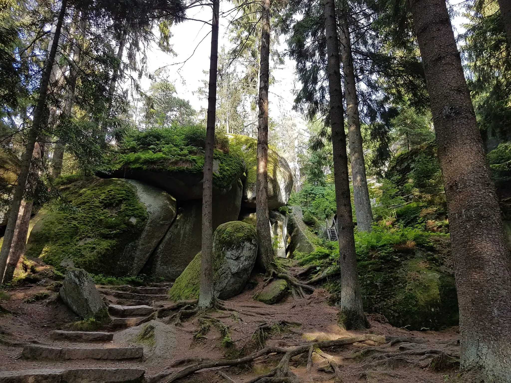
Nature, the outdoors and adventure – hiking through the VGN's nature parks
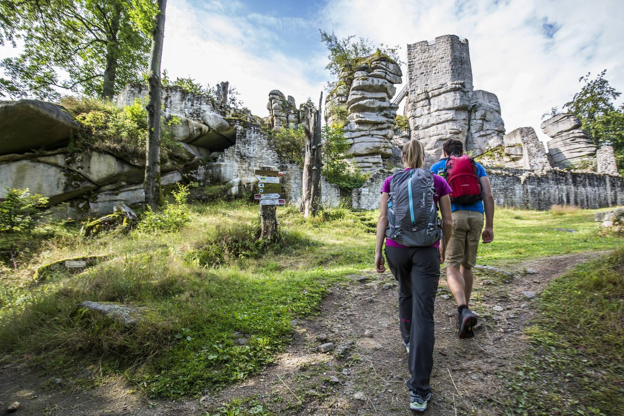
Thousands of kilometres of hiking fun – long-distance hiking trails in Bavaria
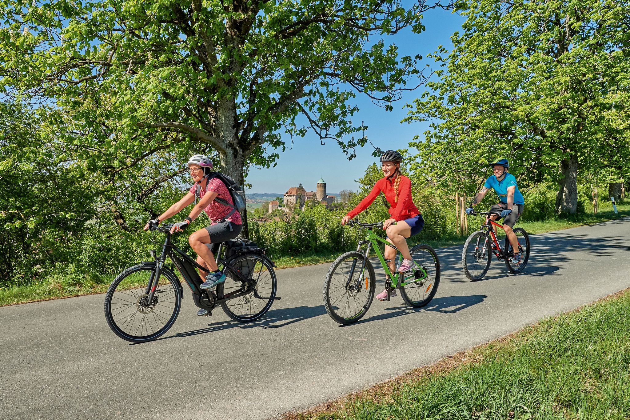
Magnificent cycling holidays — e-bike Tours through Franconia
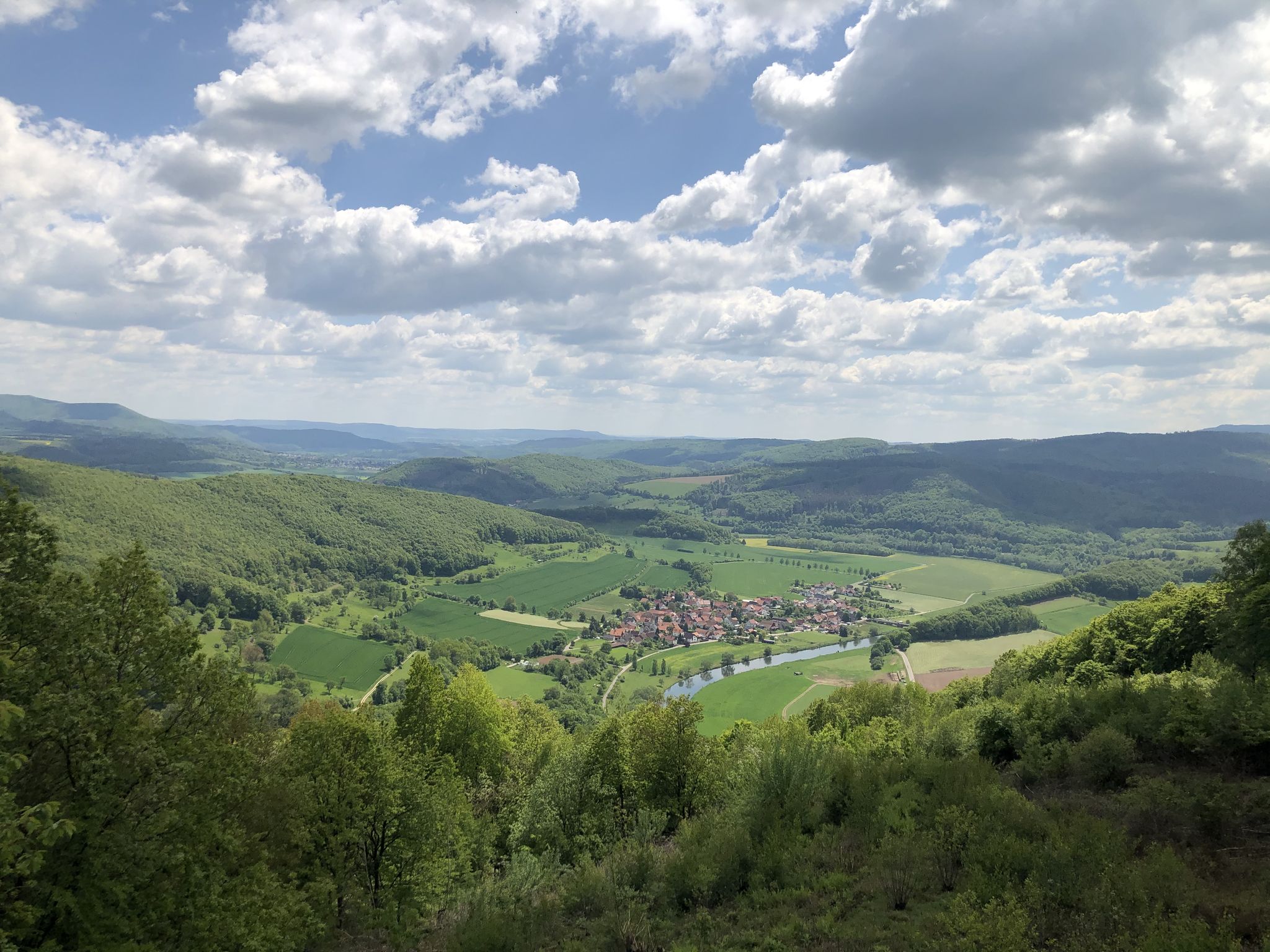
Wonderful Green Band
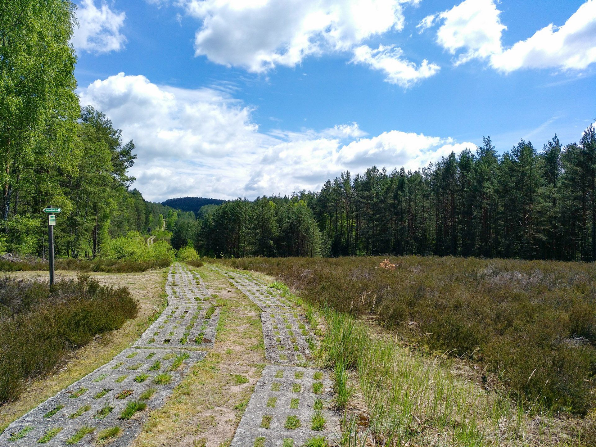
Discover the Green Belt in Germany’s Thuringian Slate Mountains with BUND
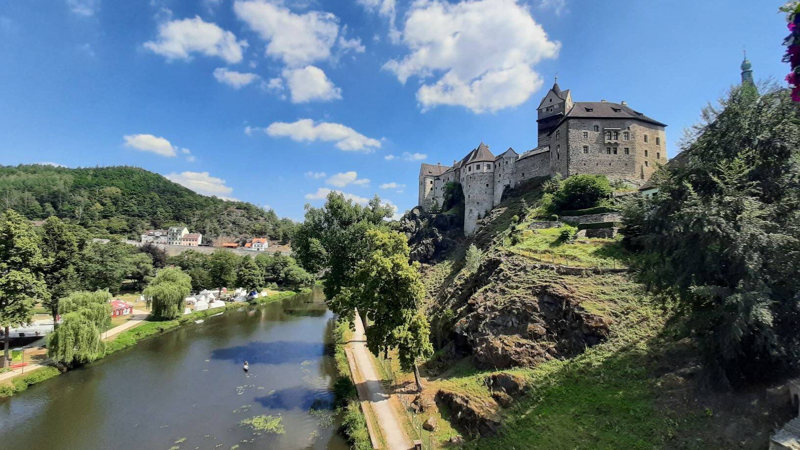
Through the heart of Europe – riding the Euregio Egrensis
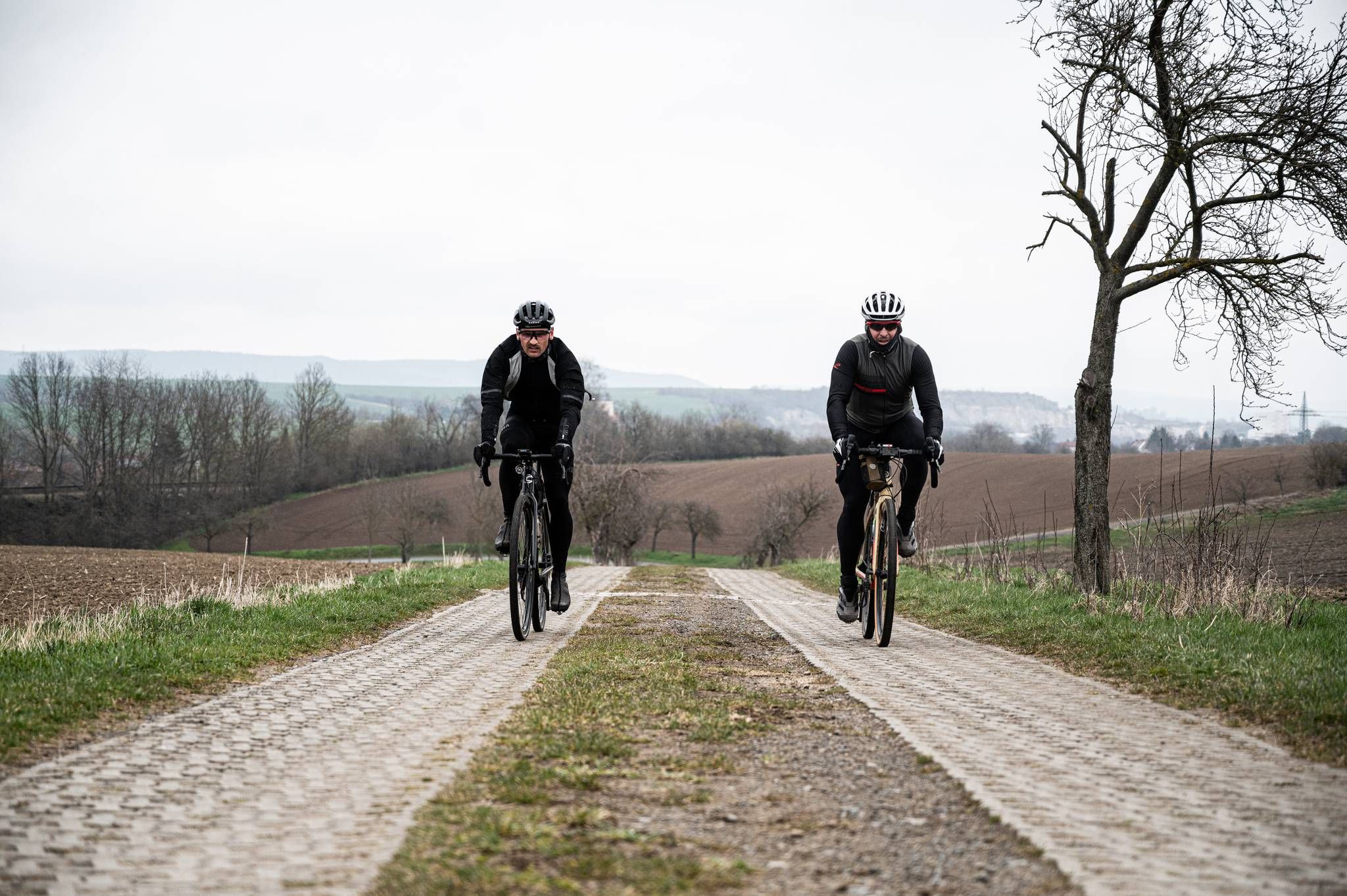
Cycling across Germany – my journey to the southernmost point of Germany
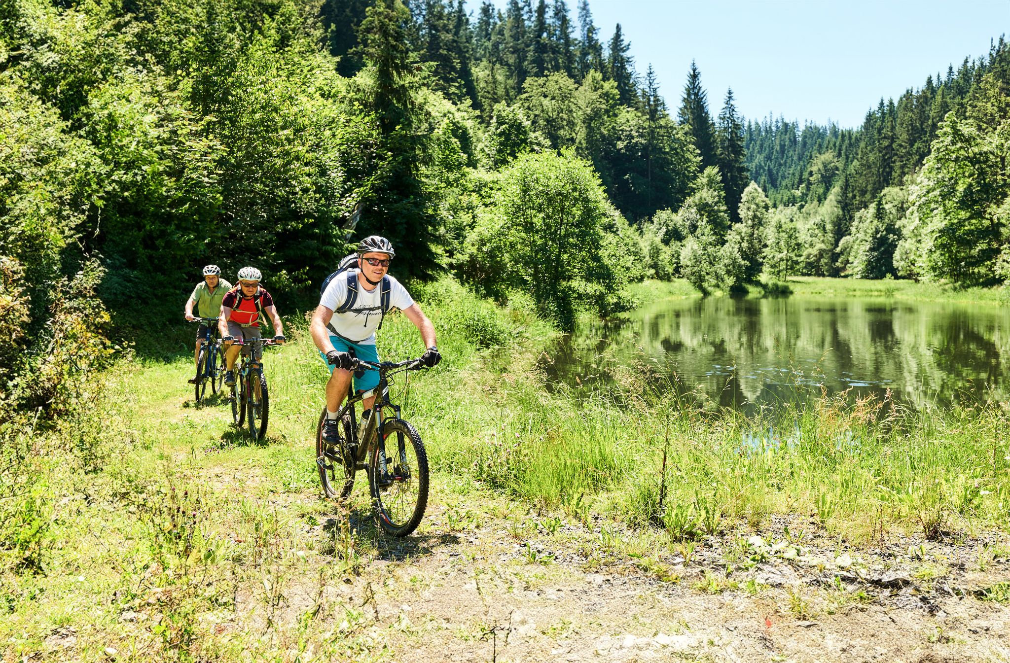
Magical woodland & trails – cycling in Germany’s Franconian Forest
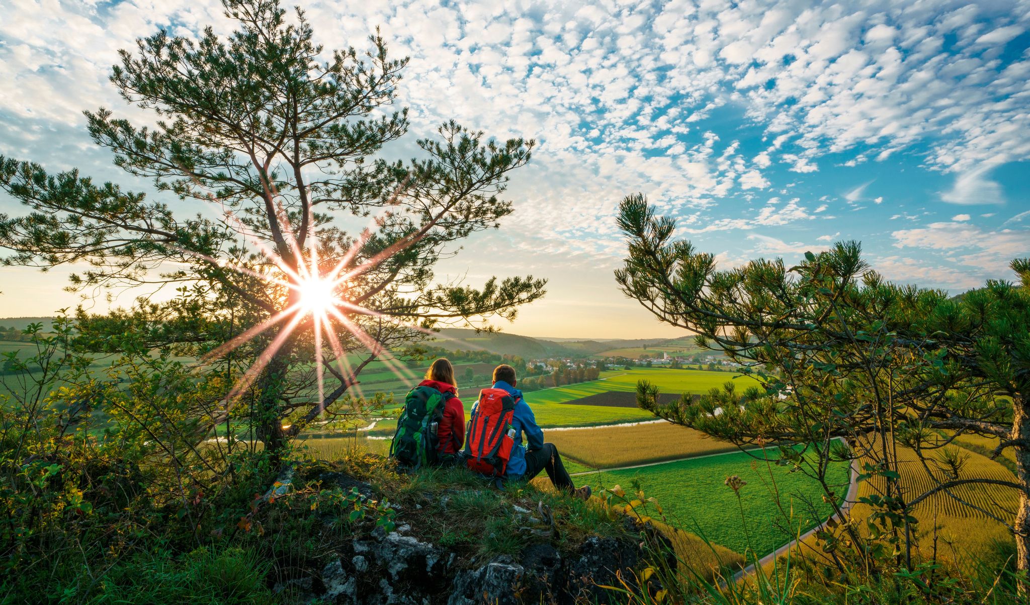
The Franconian Trail – A Diverse Hiking Dream Across 24 Stages
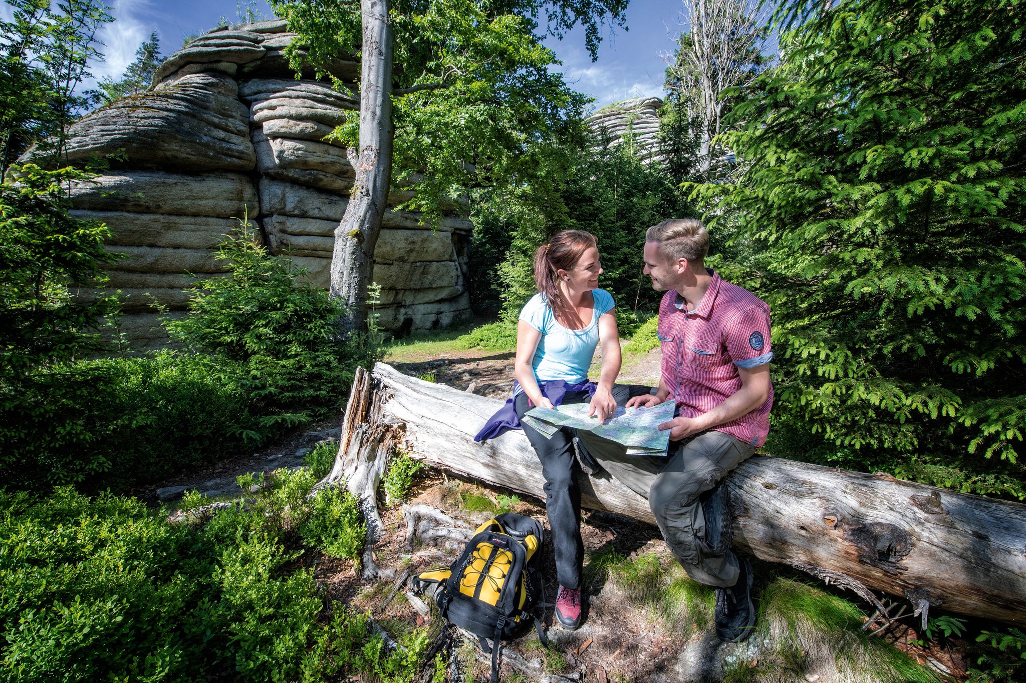
The Franconian Mountain Trail – 21 Stages of Magical Summit Bliss
Other adventures in the Franconian Forest


Tips from the Community

Wonderful view of the Fichtelgebirge
0
0

The diabase quarry at Steinbühl is a well-known old quarry lake near Naila in Upper Franconia (Bavaria). Swimming in the quarry lake is not permitted or is not suitable. The lake is Station 2 of the approximately 7-kilometer long Geopfad Naila, which offers insights into the regional geology (diabase, picrite rocks, and diabase breccias).
2
0
Formerly part of the Naila–Schwarzenbach railway line; the route was converted into a cycle and hiking path
1
0
Dams are built to utilize water for hydropower plants, to keep the water level constant for fish or shipping, or to prevent floods.
1
0

The new bridge is already clearly recognizable.
1
0

You have to use this path otherwise you won't get across the Rodach.
0
0

The ensemble within the 14th and 15th century fortification ring developed from the earliest mention of the present settlement around 800. The town parish church of St. Kilian was founded centrally within it even before 1007. In 1130, the settlement received market rights, a good 250 years later full jurisdiction. From 1422, the town's fortifications were built. In 1473, the town burned down, including the parish church and the town hall. In the Thirty Years' War, in 1684, almost the entire place fell prey to the flames again. The symbol of the subsequent reconstruction is the town hall from 1686/87. Of particular importance is the cohesive appearance of the buildings, which is shaped by the reconstruction after the town fire of 1684. These typically include two-storey front houses, often with gables facing the street, featuring decorative half-timbering on the upper floor. In addition to wall remnants, the Bamberger Torturm gate tower, dating back to the 16th century in its core, has been preserved from the town's fortifications.
7
3
Frequently Asked Questions
How many no-traffic road cycling routes are available in the Franconian Forest?
There are over 50 dedicated no-traffic road cycling routes in the Franconian Forest, offering a wide range of options for cyclists. Most of these routes are of moderate difficulty, with some easier and more challenging options available.
What do other road cyclists appreciate about the no-traffic routes in the Franconian Forest?
The no-traffic road cycling routes in the Franconian Forest are highly rated by the komoot community, with an average score of 4.7 stars. Reviewers often praise the region's quiet, scenic roads, diverse landscapes, and the opportunity to explore charming towns and natural landmarks without vehicle interference.
What kind of terrain can I expect on no-traffic road cycling routes in the Franconian Forest?
The Franconian Forest offers a varied terrain for road cyclists. You'll encounter rolling hills, picturesque valleys, and cleared plateaus with expansive vistas. While many routes are smooth and well-maintained, some include forested slopes and challenging climbs, such as those around Mount Döbra, providing a diverse cycling experience.
Are there routes suitable for beginners or those looking for an easier ride?
Yes, the Franconian Forest offers several easier no-traffic road cycling routes, with 9 routes specifically categorized as easy. These routes typically feature less elevation gain and are perfect for a relaxed ride. An example of a moderate route with relatively low elevation is the Rodach Bridge – Oberlangenstadt Castle loop from Kronach.
Are there more challenging no-traffic road cycling routes for experienced cyclists?
For experienced cyclists seeking a challenge, the Franconian Forest has 4 difficult no-traffic road cycling routes. These often include more significant climbs and longer distances. The region's natural features like Mount Döbra and the Rennsteig ridgeline offer strenuous sections for ambitious riders.
What natural features and landmarks can I see along the no-traffic road cycling routes?
The routes often pass by impressive natural features and historic landmarks. You can discover the dramatic Höllental (Hell Valley) with its unique bridges, the wild and romantic Steinach Gorge, and the iconic Selbitz Viaduct. Many routes also lead to charming historic towns and castles like Schauenstein Castle. For panoramic views, consider routes that pass near the Prinz-Luitpold Tower on Döbraberg.
Are there any specific viewpoints worth visiting on these routes?
Absolutely. The Franconian Forest is home to several excellent viewpoints. The Prinz-Luitpold Tower on Döbraberg, often called the 'Eiffel Tower of the Franconian Forest,' offers panoramic views over the region. Other notable viewpoints include the Radspitz Tower and the Frankenwarte Observation Tower.
Is parking available at the start of these no-traffic road cycling routes?
Yes, parking is generally available at or near the starting points of many no-traffic road cycling routes in the Franconian Forest, especially in towns and villages. It's advisable to check specific route details on komoot for designated parking areas.
Can I reach the no-traffic road cycling routes using public transport with my bike?
Public transport options are available in the Franconian Forest, and some services may accommodate bicycles. However, policies vary by operator and route. It's recommended to check with local public transport providers for their specific rules regarding bike transport before planning your journey.
Are the no-traffic road cycling routes in the Franconian Forest suitable for families?
Many of the no-traffic road cycling routes, particularly the easier and moderate ones, are suitable for families. The absence of car traffic makes for a safer and more enjoyable experience. Look for routes with paved surfaces and gentle gradients for the most family-friendly options.
Are there circular no-traffic road cycling routes available?
Yes, many of the no-traffic road cycling routes in the Franconian Forest are designed as circular tours, allowing you to start and end at the same point. Examples include the Schwürbitz Main Bridge – Archive of the Future loop from Kronach and the New Castle Küps – Oberlangenstadt Castle loop from Kronach.
Are there places to eat or stay along the no-traffic road cycling routes?
The Franconian Forest region is well-equipped with amenities for visitors. You'll find cafes, pubs, and restaurants in the charming towns and villages along or near many routes. Accommodation options, ranging from guesthouses to hotels, are also available, making it easy to plan multi-day cycling trips.
Most popular routes in the Franconian Forest
Most popular attractions in the Franconian Forest

Get inspired with the komoot mobile app


Explore more
Browse the best Road cycling routes in other regions.
