The best road cycling routes around Mono City
5.0
(2)
85
riders
5
rides
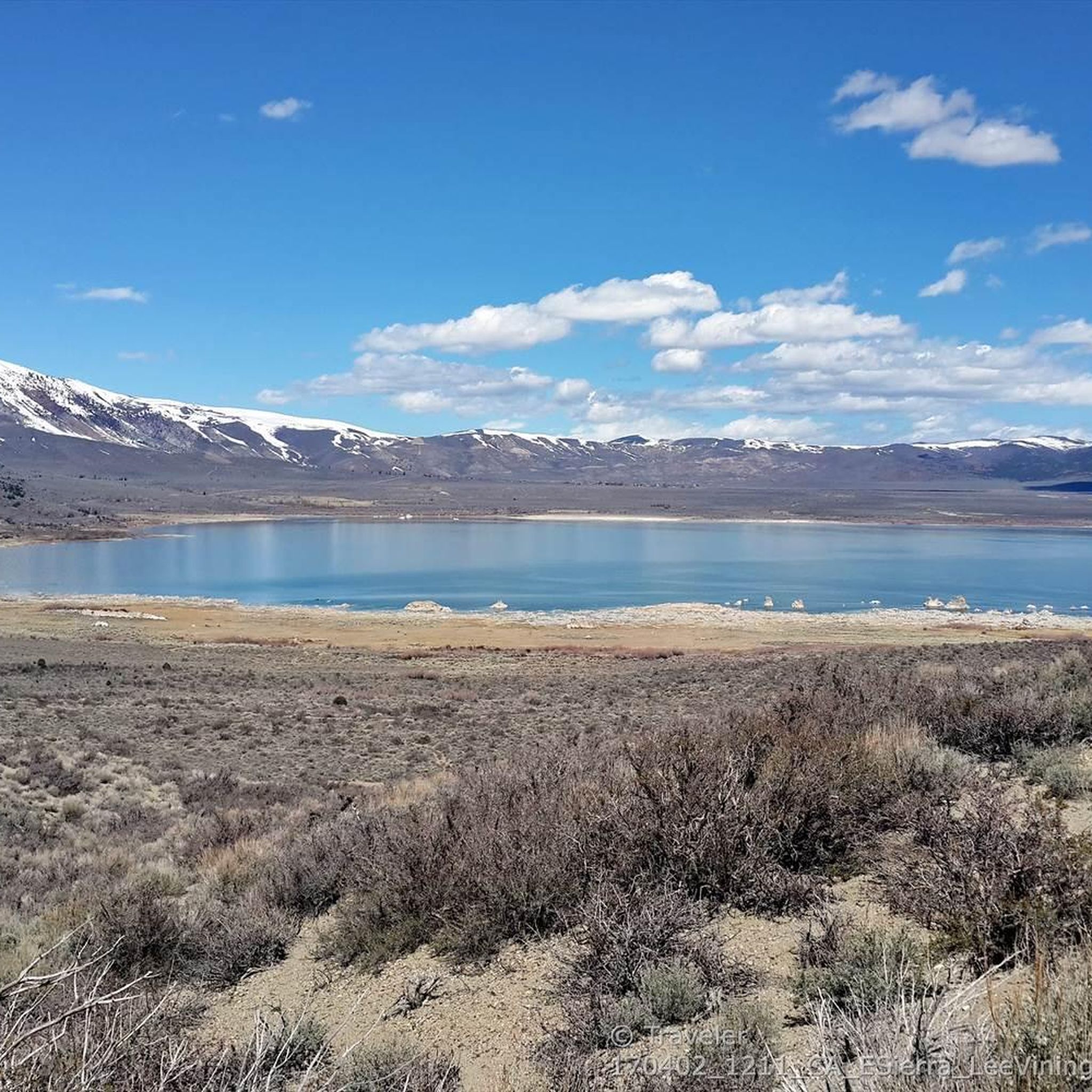
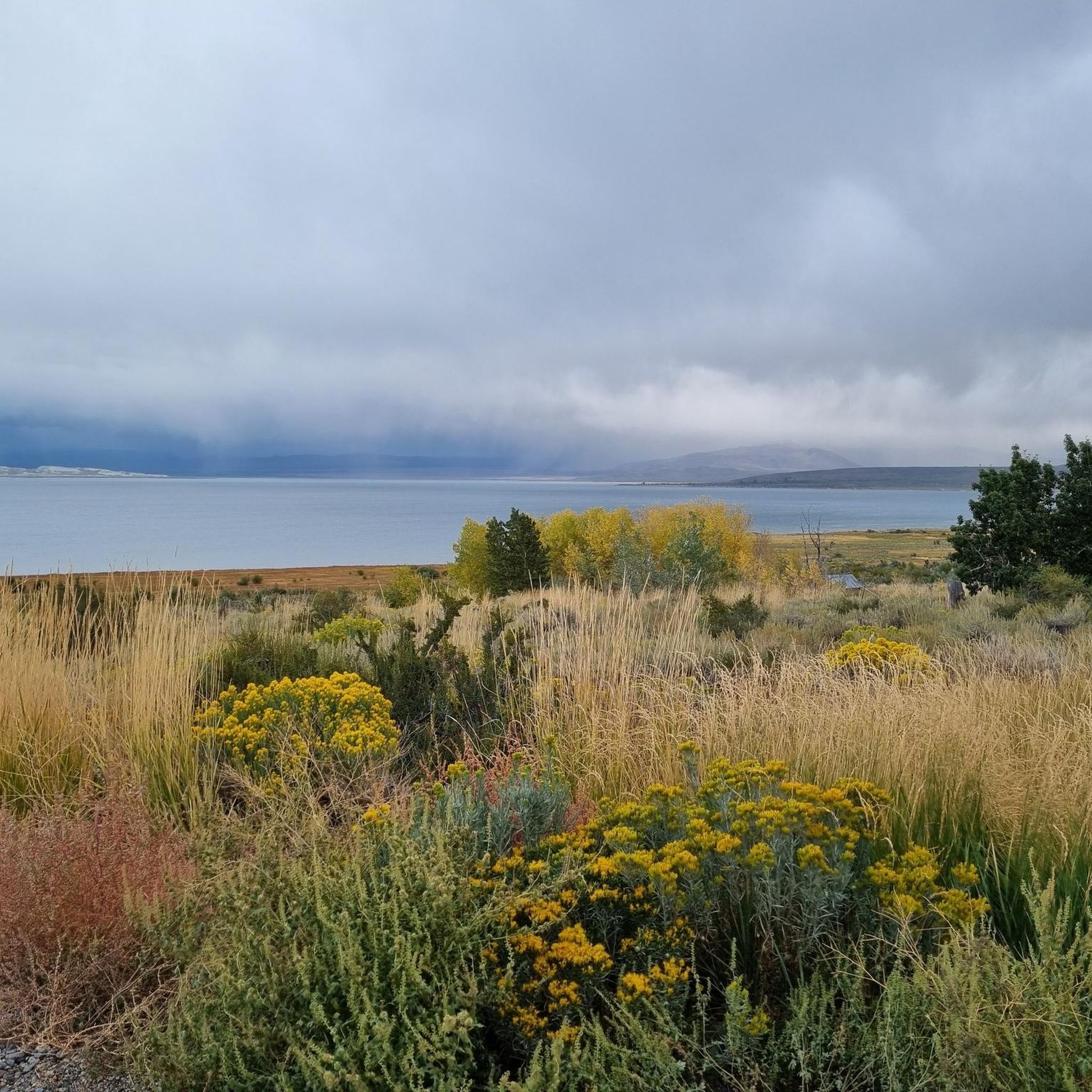
Road cycling routes around Mono City traverse a landscape characterized by granite peaks, high desert vistas, and serene lakes. The region features well-maintained asphalt roads with varied terrain, including challenging climbs and winding mountain roads. Cyclists can expect routes that navigate through pine forests and offer views of volcanic formations and tufa towers. The area's high altitude also provides an aerobic advantage for training.
Best road cycling routes around Mono City
- The most popular road cycling route is Lee Vining…
Last updated: October 11, 2026
20
riders
95.6km
05:25
1,820m
1,820m
Cycle 59.4 miles from Lee Vining to Olmsted Point via Tioga Pass Road, gaining 5967 feet through Yosemite's stunning high country.
1
riders
152km
06:55
1,730m
1,730m
This difficult 94.2-mile road cycling route from Lee Vining to Benton Hot Springs offers stunning high desert scenery and hot springs.

1
riders
84.6km
04:18
1,290m
1,290m
This difficult 52.5-mile road cycling route from Bridgeport to Mono Lake via Highway 395 offers challenging climbs and stunning views.
5.0
(2)
49
riders
189km
10:17
3,530m
3,530m
Hard road ride. Very good fitness required. Mostly well-paved surfaces and easy to ride.
14
riders
38.9km
02:44
950m
950m
Hard road ride. Very good fitness required. Mostly well-paved surfaces and easy to ride.
Our route recommendations are based on thousands of hikes, rides, and runs completed by other people on komoot.
Tips from the Community

Located just outside of the East Entrance of Yosemite National Park, Ellery Lake is just a beautiful as any scenery you'll find inside the park. In addition to the amazing views there's also a campground with 12 sites and potable water.
0
0
Crane Flat is at the intersection of Tioga Road and Big Flat Road. The little store attached to the gas station is well stocked and is a good place to fill up on any drinks or snacks you might need for the ride. The Yosemite branded trail mix is a personal favorite.
0
0
Tuolumne Meadows is one of the crown jewels of Yosemite National Park. The picturesque meadows are surrounded by the iconic granite domes that Yosemite is known for. The most notable being Lembert Dome that looms over the eastern edge of the meadows.
0
0

Crane Flat in Yosemite is a scenic road cycling route offering steady climbs and breathtaking views of the surrounding forest and peaks. The ride is ideal for intermediate to advanced cyclists looking for a workout with rewarding descents. Start early to enjoy quieter roads and cool mountain air.
0
0

Olmsted Point is a famous viewpoint of the north side of Half Dome, Tenaya Canyon, and Tenaya Lake to the east from Tioga Pass off State Highway 120 in Mariposa County. Olmsted Point is a must-see on the way over Tioga Pass. We admire the "erratic" boulders staggered around the granite slopes. These huge boulders were left behind when the last glacier broke through. Olmsted Point is named after landscape architects Frederick Law Olmsted and Frederick Law Olmsted, Jr. Olmsted was instrumental in protecting Yosemite National Park in the 1860s when he worked with Senator John Conness of California to declare Yosemite Valley and the Mariposa Big Tree Grove as public land under state protection. This was the first land set aside by Congress for public use and laid the foundation for what would become the National Parks.
4
0
Nestled between giant granite domes and the clear skies of the Sierra Nevada, Tenaya Lake is the largest lake in Yosemite's frontcountry. Due to its remarkable scenic qualities, inviting blue waters, and proximity to Tioga Road, Tenaya Lake is one of the most popular destinations for summer visitors to Yosemite. It is very popular for picnicking, swimming, and canoeing. Tenaya Lake was named after Chief Tenaya, the last chief of the Yosemite Indians.
3
0

Frequently Asked Questions
What kind of terrain can I expect on road cycling routes around Mono City?
Road cycling routes in Mono City traverse diverse landscapes, from challenging climbs through granite peaks and mountain passes to winding roads through pine forests. You'll also find sections with high desert vistas and smooth asphalt roads, offering views of volcanic formations and serene lakes like Mono Lake. The region's high altitude also provides an aerobic advantage for training.
How challenging are the road cycling routes in Mono City?
The road cycling routes around Mono City are generally considered challenging, with all five featured routes rated as 'difficult' by the komoot community. For instance, the Lee Vining to Olmstead Point via Tioga Pass Road route involves significant elevation gain through mountain passes, while the Lee Vining, California to Benton Hot Springs via Highway 120 offers extensive riding through high desert steppe.
What natural features and landmarks can I see along the road cycling routes?
Mono City's road cycling routes offer stunning views of the Eastern Sierra Nevada Mountains, Mono Lake's unique tufa formations, and volcanic landscapes. You can also explore areas like the June Lake Loop with its four pristine lakes, or the Jeffrey pine forests along the Mammoth Scenic Loop. Notable highlights include the Mono Lake Tufa State Natural Reserve and various viewpoints such as Lee Vining - Vista Point.
Are there any family-friendly road cycling options in the Mono City area?
While many routes in the immediate Mono City area are challenging, the broader Mono County offers more accessible options. For instance, the June Lake Loop is a picturesque 16-mile route featuring four lakes, considered relatively flat by Eastern Sierra standards. The Lakes Basin Path in Mammoth Lakes is another paved, scenic option suitable for families.
When is the best time of year for road cycling in Mono City?
The best time for road cycling in Mono City is typically during the warmer months, from late spring through early autumn, when mountain passes are clear of snow and road conditions are optimal. The region experiences significant seasonal changes, and some higher elevation roads may be closed during winter.
Are there any circular road cycling routes available?
Yes, Mono County features several scenic loop routes. The June Lake Loop is a popular 16-mile circular ride, and the Mono Lake Loop offers a moderate 21.1-mile circuit with unique views. The Mammoth Scenic Loop is another moderate 16-mile loop through forests.
What do other road cyclists enjoy most about road cycling in Mono City?
The road cycling experience around Mono City is highly rated by the komoot community, with an average score of 5.0 stars from 2 reviews. Cyclists often praise the breathtaking views of granite peaks, high desert vistas, and serene lakes, as well as the well-maintained asphalt roads and the unique natural attractions like Mono Lake's tufa formations.
Are there specific regulations or permits required for road cycling in Mono County?
Generally, no specific permits are required for road cycling on public roads in Mono County. However, it's always advisable to check local regulations, especially if you plan to cycle within national parks or protected areas, as rules can vary. For more information about Mono County, you can visit monocounty.ca.gov.
Can I find amenities like cafes or accommodation near the road cycling routes?
Yes, Mono City and the surrounding towns like Lee Vining, June Lake, and Mammoth Lakes offer various amenities. You'll find cafes, restaurants, and accommodation options that cater to visitors. These towns are often starting points or pass-through areas for many popular cycling routes, making it convenient to refuel or stay overnight.
Are there any less crowded road cycling routes in the Mono City area?
For a less crowded experience, consider routes like Benton Crossing Road. This approximately 20-mile flat ride through the high desert steppe is known for its light traffic and panoramic views of the Sierra Nevada and White Mountains, offering a peaceful cycling experience away from busier areas.
What are some of the longer distance road cycling routes available?
Mono City offers several long-distance routes for experienced cyclists. The Lee Vining, California to Benton Hot Springs via Highway 120 is a challenging 94.3-mile path, while the Tuolumne Meadow – Tenaya Lake Beach loop from Lee Vining extends to 117.3 miles, providing extensive riding through varied landscapes.
Is public transport available for cyclists with bikes in Mono County?
Public transport options in Mono County are limited, but some services, particularly those connecting major towns like Mammoth Lakes, may accommodate bikes. It's recommended to check with local transit providers in advance for their specific policies regarding bicycles, especially for longer routes or during peak seasons.
Most popular routes around Mono City
Most popular attractions around Mono City

Get inspired with the komoot mobile app


Explore more
Browse the best Road cycling routes in other regions.
