The best walks and hikes around Mono City
5.0
(4)
72
hikers
18
hikes
Hiking around Mono City offers access to diverse natural landscapes, including dramatic mountain ranges, clear alpine lakes, and unique geological features. The region is characterized by high peaks, glacial-carved canyons, and granite cliffs, providing varied terrain for outdoor activities. Mono County's elevation ranges from 4,000 to 14,000 feet, featuring forests of pine and juniper, aspen groves, and alpine meadows. This area provides extensive trail systems for different hiking abilities.
Best hiking trails around Mono City
- The most popular hiking route…
Last updated: September 27, 2026
1
hikers
752m
00:12
0m
0m
Hike the easy 0.5-mile Mono Lake Trail to see unique tufa towers and expansive views of the saline lake with the Sierra Nevada mountains.
1
hikers
2.01km
00:34
50m
30m
Hike the easy 1.3-mile Lee Vining Creek Trail in Inyo National Forest, enjoying riparian scenery and expansive views of Mono Lake.

17
hikers
4.76km
01:20
100m
100m
Hike the easy 3.0-mile Mono Lake Trail to explore otherworldly tufa towers and panoramic views of Mono Lake in the Mono Lake Tufa State Natu
12
hikers
1.45km
00:22
0m
0m
Hike the easy Mono Lake Trail for 0.9 miles (1.5 km) to see unique tufa towers and enjoy views of the saline lake and Sierra Nevada mountain
8
hikers
945m
00:15
10m
10m
Explore the easy 0.6-mile Mono Lake Boardwalk Trail for unique tufa tower views and marshland birdwatching, though it is currently closed.
Get access to more routes and recommendations from other explorers.
Already have an account?
Our route recommendations are based on thousands of hikes, rides, and runs completed by other people on komoot.
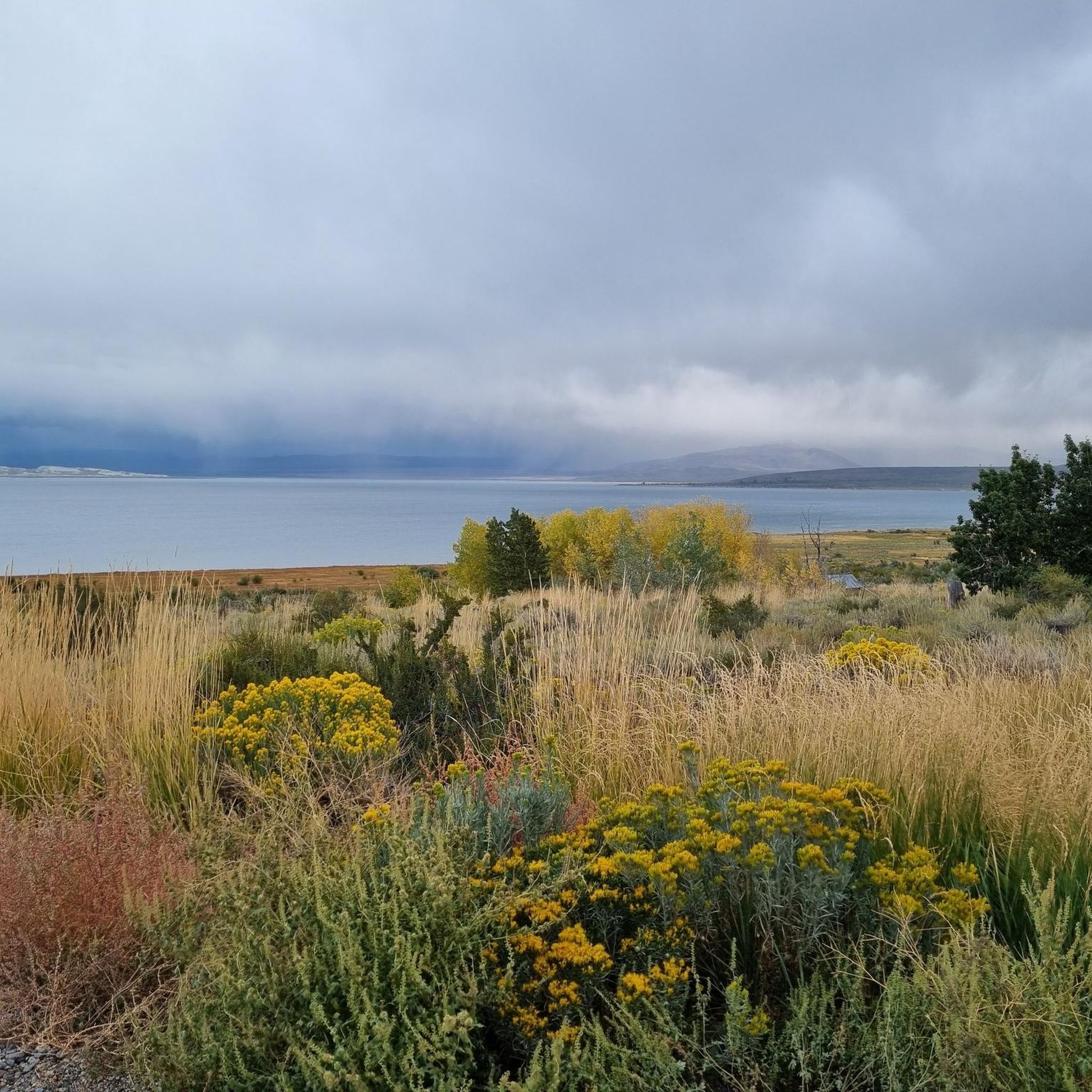
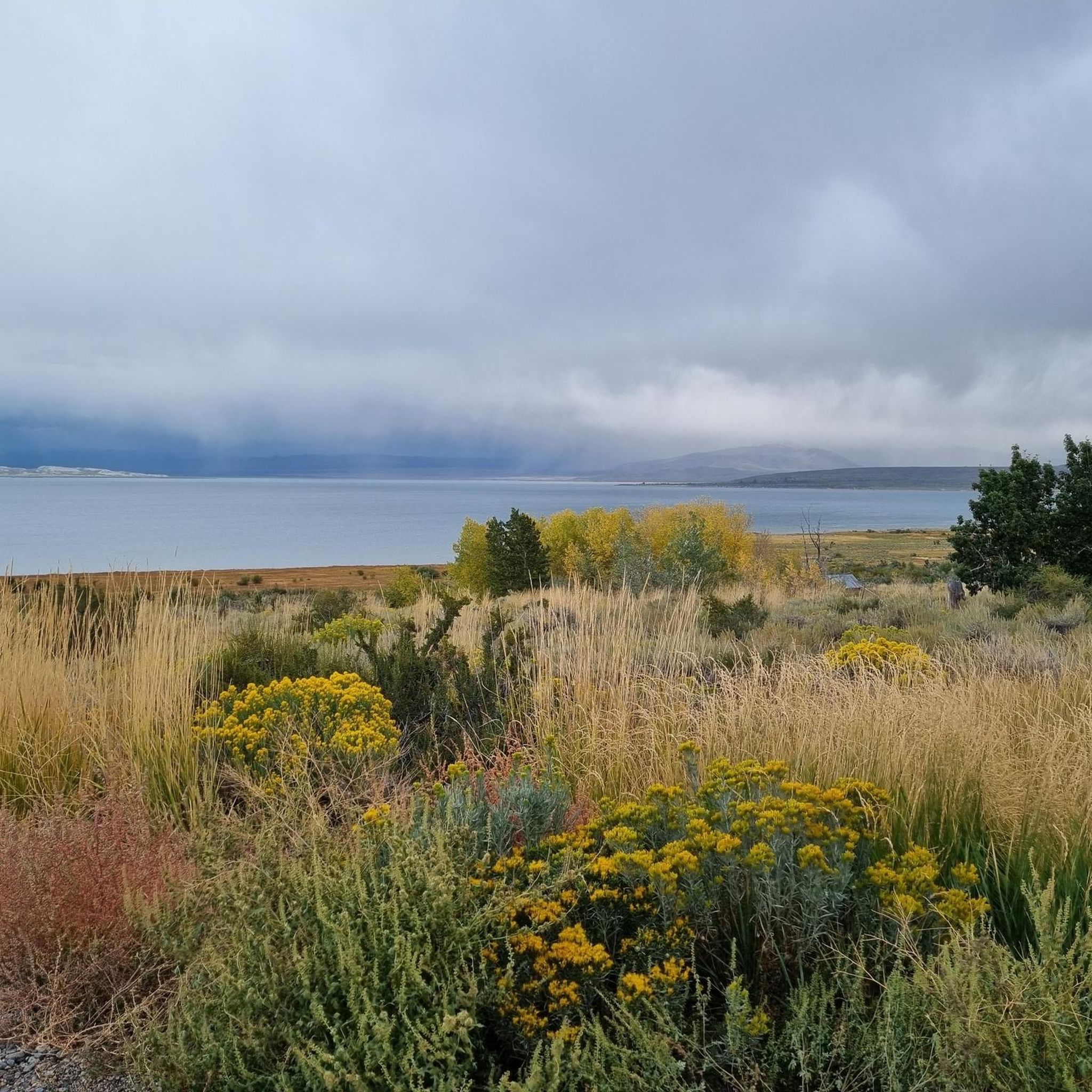
Tips from the Community

One of the many interesting rock formations in Mono Lake Tufa State Natural Reserve. The cave was used by shepherds as shelter while their cattle grazed in the nearby plains.
0
0

This visitor center has info about the geologic, biologic, and human history of the Mono Basin. You'll also find restrooms, water, and hiking trails down to Mono Lake. The center is generally open between May-October, but the exact dates fluctuate year to year so call ahead if you are visiting early or late in the season.
0
0

Take this walkway down to the lake. Swimming in Mono Lake is allowed and it is an interesting experience. Lake Mono is saltier than the ocean and provides a buoyant float. Be sure to keep the water out of eyes and cuts, as it will sting!
0
0
This reserve is home to the "tufa towers," which are calcium carbonate spires made from freshwater springs and alkaline water mixing. The lake is also a stopover for millions of migratory birds.
0
0
The total distance of this trail from the visitor center is 1.3 miles. The trail splits, goes right to a wooden boardwalk, and goes left at the junction to the Mono Lake Trail Connector.
0
0
From the parking lot on "Picnic Shortcut Road," here is the shortest walk to get to the shores of Lake Mono. Some activities usually enjoyed around this area are not only hiking but also photography, bird watching, swimming, boating, and cross-country skiing.
0
0

The alkaline salt lake at Lee Vining is a biotope of its own. Due to the high salt content and pH, there are many rare specialized animals, such as u.a. the salt flies. However, the city is disturbed by the city of Los Angeles in its natural sense, as the city taps into the freshwater inflows. As a result, the water level has dropped. Now begins a rethinking, hopefully in time.
2
0

The reserve was established to preserve the spectacular "tufa towers," calcium-carbonate spires and knobs formed by interaction of freshwater springs and alkaline lake water. It also protects the lake surface itself as well as the wetlands and other sensitive habitat for the 1 – 2 million birds that feed and rest at Mono Lake each year. Hiking, photography, bird watching, swimming, boating, and cross-country skiing are popular in and around the lake. http://www.parks.ca.gov/?page_id=514
0
0
Frequently Asked Questions
How many hiking trails are available around Mono City?
Mono City offers a diverse selection of hiking trails, with over 10 routes documented on komoot. These trails range from easy lakeside strolls to more moderate ascents into the high Sierra, providing options for various skill levels.
What is the best time of year to go hiking in Mono City?
The best time for hiking in Mono City is generally from late spring through early fall (May to October). During these months, trails are typically clear of snow, and the weather is ideal for exploring the alpine lakes, mountain passes, and unique geological features like the tufa towers of Mono Lake. Winter hiking is possible but requires specialized gear and knowledge due to snow and colder conditions.
Are there any family-friendly hiking options in Mono City?
Yes, Mono City has several family-friendly hiking options. The region offers easy trails around its many lakes, such as the paths near Mono Lake. The Mono Lake Trail Loop is an easy 3.0-mile path that provides views of the distinctive tufa towers and wetlands, suitable for families. The Little Lakes Valley, though not a specific route in our guide, is also renowned for its easy to moderate hikes and dramatic views, making it popular with families.
Can I bring my dog on the hiking trails in Mono City?
Many trails in the Mono City area, particularly those within the Inyo and Humboldt-Toiyabe National Forests, are dog-friendly, though regulations can vary. It's always best to check specific trail rules, especially within designated wilderness areas or state natural reserves like Mono Lake Tufa State Natural Reserve, where dogs may be restricted to certain areas or require leashes. Always practice Leave No Trace principles and clean up after your pet.
What kind of natural landmarks or viewpoints can I expect to see while hiking?
Mono City is rich in natural landmarks and stunning viewpoints. You can explore the otherworldly tufa towers at Mono Lake Tufa State Natural Reserve, or discover volcanic landscapes on routes like Black Point — Lee Vining. The region is also home to numerous alpine lakes, such as Convict Lake and the June Lake Loop, offering breathtaking mountain vistas. The Mono Basin Scenic Area Visitor Center is a great starting point for information on these features.
Are there any circular hiking routes in the Mono City area?
Yes, there are circular hiking routes available. For example, the Mono Lake Trail Loop offers an easy circular path around parts of the lake, allowing you to experience the unique tufa formations. Many other trails in the region can be combined to form loops, especially around the numerous alpine lakes.
What is the typical difficulty level of hikes around Mono City?
The hikes around Mono City cater to a wide range of abilities. Our guide includes 8 easy routes, perfect for leisurely walks, and 6 moderate routes for those seeking a bit more challenge. The elevation in Mono County ranges significantly, from 4,000 to 14,000 feet, meaning you can find everything from gentle lakeside paths to more strenuous high-altitude treks.
Where can I find parking for trailheads in Mono City?
Parking is generally available at most popular trailheads throughout the Mono City area, especially near major attractions like Mono Lake and the various alpine lakes. Specific parking information is often detailed on individual trail pages or can be obtained from local visitor centers, such as the Mono Basin Scenic Area Visitor Center.
Are there any less crowded hiking trails in Mono City?
While popular spots like Mono Lake can attract visitors, the vastness of the Inyo and Humboldt-Toiyabe National Forests, including the John Muir, Ansel Adams, and Hoover Wilderness areas, means there are many opportunities for less crowded hikes. Exploring trails further into these wilderness areas or visiting during off-peak times can lead to a more solitary experience. Consider routes like Big Valley Lakes — Tolyabe National Forest for a chance to explore the expansive forest landscape.
What do other hikers enjoy most about hiking in Mono City?
The area is highly rated by the komoot community, with an average score of 5.0 stars from over 4 reviews. Reviewers often praise the stunning and diverse natural landscapes, from the unique tufa towers of Mono Lake to the dramatic High Sierra peaks and crystal-clear alpine lakes. The variety of trails, catering to different skill levels, is also frequently highlighted.
Are there any facilities or places to eat near the hiking areas?
Mono City and the nearby town of Lee Vining offer various facilities, including cafes and accommodation options. While specific establishments are not part of our trail guide, you'll find amenities in these towns to support your hiking adventures. The Mono Basin Scenic Area Visitor Center can also provide information on local services.
Most popular routes around Mono City
Most popular attractions around Mono City

Get inspired with the komoot mobile app


Explore more
Browse the best Hikes in other regions.
