The best walks and hikes around Otto-Maigler-See
4.4
(13256)
64,512
hikers
1,392
hikes
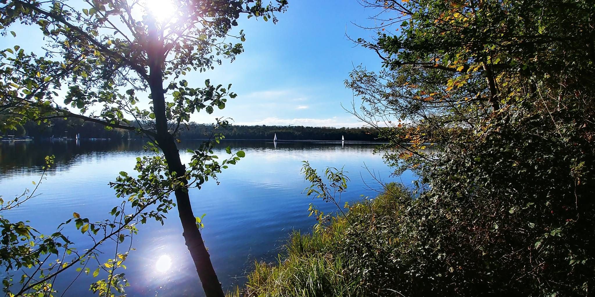
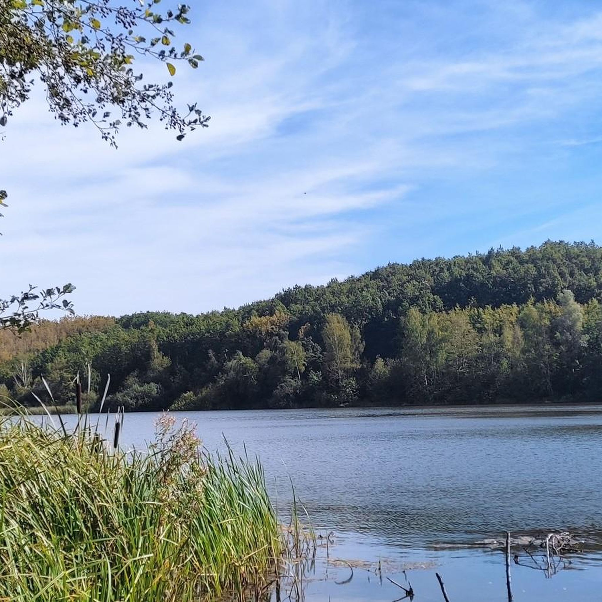
Hiking around Otto-Maigler-See offers diverse landscapes centered around a lake created from a former lignite mining area. The region features tranquil lake shores, lush greenery, and extensive forested trails. A significant portion of the area is designated as the NSG Waldseenbereich Theresia nature reserve, known for its varied flora and fauna. The terrain includes a mix of partially paved paths and natural sections, providing accessible routes for various hiking preferences.
Best hiking trails around Otto-Maigler-See
- The most popular hiking route…
Last updated: September 30, 2026
4.5
(68)
250
hikers
10.7km
02:44
40m
40m
Moderate hike. Good fitness required. Easily-accessible paths. Suitable for all skill levels.
4.6
(12)
46
hikers
6.18km
01:37
40m
40m
Easy hike. Great for any fitness level. Easily-accessible paths. Suitable for all skill levels.

4.3
(6)
80
hikers
3.87km
01:00
20m
20m
Easy hike. Great for any fitness level. Easily-accessible paths. Suitable for all skill levels.
3.9
(7)
25
hikers
23.8km
06:09
130m
130m
Hard hike. Very good fitness required. Easily-accessible paths. Suitable for all skill levels.
4.3
(4)
40
hikers
Easy hike. Great for any fitness level. Easily-accessible paths. Suitable for all skill levels.
Get access to more routes and recommendations from other explorers.
Already have an account?
Our route recommendations are based on thousands of hikes, rides, and runs completed by other people on komoot.
Start today with a free account
Your next adventure awaits.

Other adventures around Otto-Maigler-See

Tips from the Community

Various design elements make the sacred wayside shrine, located at a fork in the road, an interesting collection; I strongly suspect, at least, that not all of them are related to the erection of the wooden wayside cross, but were probably added by visitors over time. The two beams, kept entirely in black, do not bear the corpus of Christ, but a brass plaque below the intersection. Only below this is - as I suspect, added later - another small crucifix.
1
0
Various design elements make the sacral wayside shrine, located at a crossroads, an interesting collection of items; as I strongly suspect at least, they are not all related to the erection of the wooden wayside cross, but were probably added by visitors over time. The two beams, kept entirely in black, do not bear the Corpus Christi, but a brass plaque below the intersection. Only below that is - as I suspect added later - another small crucifix. PS: The highlight has been around for a while at https://www.komoot.com/de-de/highlight/3164415
1
0

The Margarethenweiher in Brühl (Rhineland) is a small lake, located on the left-hand side coming from Hürth on the B 265, before the Gruhlsee, in the Rhein-Erft district in the southwest of North Rhine-Westphalia.
2
0


This location is very easy to get into the water. It's a lovely place to linger. Sometimes you even meet some really nice people. A very nice place.
2
0

The remains of the former Burbach monastery complex.
4
2
A nice place to relax and watch the dogs bathing.
0
0
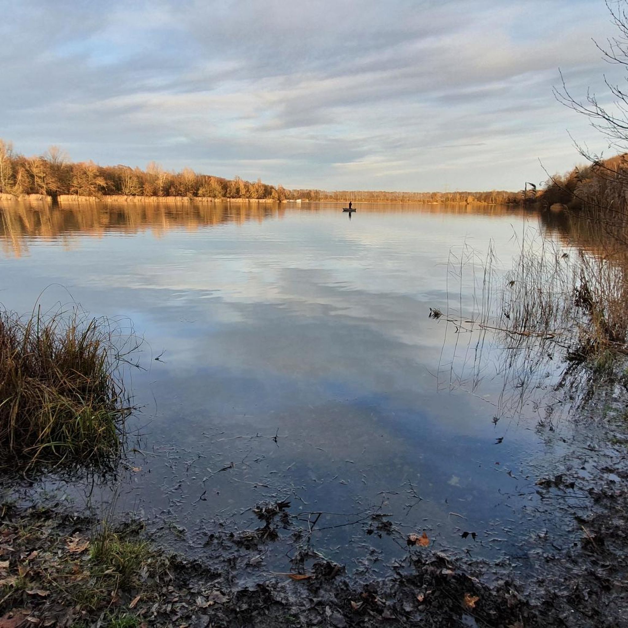
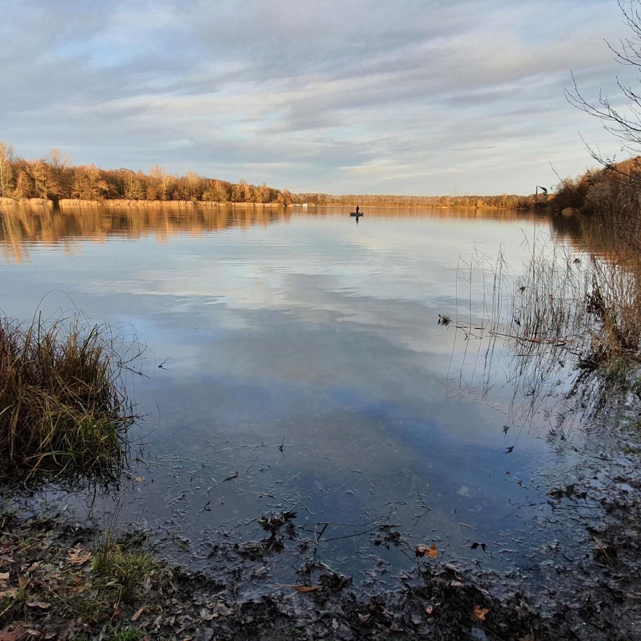
Spring at the Otto Maigler Lake In spring, the Otto Maigler Lake awakens from its winter sleep. The first rays of sun break through the morning mist and bathe the lake in a soft light. The trees show fresh, delicate green and the first flowers bloom on the banks. Birds return and the air is filled with a fine, floral scent. The lake seems like a mirror of new beginnings - calm but full of life. It is a time of renewal and growth when nature regains its colors. Summer at the Otto Maigler Lake In summer, the lake shines in all its glory. The air is warm, the water refreshing and the shore is a popular meeting place for walkers, cyclists and swimmers. The sun reflects in a thousand sparks on the surface of the water. Families enjoy the idyll, children play on the edge and boats glide across the lake. In the evening, as the sun slowly sets, the lake is bathed in golden light and a relaxed atmosphere spreads. Summer is lively and full of energy, but there are always quiet moments at the lake as dusk gently bids the day farewell. Autumn at Otto Maigler Lake Autumn brings a completely different mood. The trees turn bright reds and golds, and the lake reflects the colors of the leaves. The air becomes cooler, and the early morning mist gives the lake a mysterious aura. As the leaves fall, the lake is enveloped in a calm that reflects the transition of the season. Autumn at Otto Maigler Lake is a time of pause, of reflection. Nature prepares for winter, and the lake shows off its quiet beauty. Winter at Otto Maigler Lake In winter, Otto Maigler Lake seems frozen in time. A thin layer of ice often covers the water's surface, and the surrounding landscape is covered in snow. The silence is almost tangible, and the cold air feels clear and refreshing. The lake rests under a blanket of ice and snow, and the trees bear a burden of frost. Winter is the quietest time at the lake – a moment of contemplation in which nature appears in its simplest and purest form.
3
0
Frequently Asked Questions
How many hiking trails are available around Otto-Maigler-See?
There are over 1,300 hiking routes around Otto-Maigler-See, offering a wide variety of options for different preferences and skill levels. More than 980 of these are considered easy.
What kind of terrain can I expect on the hiking trails around Otto-Maigler-See?
The trails around Otto-Maigler-See feature diverse landscapes, including tranquil lakeside sections, lush forested paths, and open fields. You'll find a mix of partially paved paths and natural sections, with generally accessible terrain and no significant elevation gain on most routes. The area is known for its serene environment and picturesque views.
Are there any family-friendly hiking options around Otto-Maigler-See?
Yes, many trails are suitable for families. For an easy and shorter walk, consider the Hürther Waldsee – Otto-Maigler Lake loop from Gleuel, which is 6.2 km long and takes about 1 hour 35 minutes. It offers a relaxed stroll around the lake's perimeter.
Can I bring my dog on the hiking trails?
Yes, dogs are generally welcome on the hiking trails around Otto-Maigler-See. The diverse paths through forests and along the lake provide a great environment for walks with your canine companion. Please ensure your dog is kept on a leash where required, especially within the NSG Waldseenbereich Theresia nature reserve, and always clean up after them.
Are there any circular hiking routes?
Yes, circular routes are very popular in the area. A well-known option is the Naturpark Rheinland - Otto-Maigler-Round, which is 10.7 km long and offers a comprehensive loop around the lake, passing through fields and forests.
What are some interesting landmarks or natural features to see along the trails?
Beyond the beautiful Otto-Maigler Lake itself, you can explore the NSG Waldseenbereich Theresia nature reserve, known for its diverse flora and fauna, including various bird species. Some routes also pass by historical sites, such as the remains of Kloster Burbach, a Cistercian monastery founded in 1233. You can also visit the Roddergrube Mining Memorial.
What do other hikers enjoy most about hiking in Otto-Maigler-See?
The area is highly rated by the komoot community, with an average score of 4.4 stars from over 11,500 reviews. Hikers often praise the tranquil lakeside scenery, the inviting forested trails that offer ample shade, and the rich biodiversity within the nature reserve. The accessibility and variety of routes for different skill levels are also frequently highlighted.
Is there parking available near the trailheads?
Yes, the area is easily accessible by car, and designated parking areas are available near the lake and various trailheads. This makes it convenient to start your hike.
How can I reach Otto-Maigler-See using public transport?
Otto-Maigler-See is easily accessible from Cologne via public transport, with bus connections available to the area. This provides a convenient option for those preferring not to drive.
Are there any places to eat or relax after a hike?
Yes, the Otto-Maigler-See boasts a popular beach club, which is an excellent spot for relaxation after a hike. It's known for its good water quality and lounge-like ambiance, offering a place to unwind and grab refreshments.
What is the best time of year to go hiking around Otto-Maigler-See?
The trails around Otto-Maigler-See offer good conditions for walking and hiking year-round. Spring brings fresh greenery, summer allows for swimming at the lake, autumn showcases beautiful foliage, and even winter offers peaceful, serene walks, provided conditions are safe.
Are there any longer or more challenging routes for experienced hikers?
Yes, for experienced hikers looking for a longer challenge, consider the Bleibtreu Lake Beach – Otto-Maigler Lake loop from Gleuel. This route spans 23.8 km and is rated as difficult, offering a more extensive exploration of the surrounding area.
Most popular routes around Otto-Maigler-See
Most popular attractions around Otto-Maigler-See

Get inspired with the komoot mobile app


Explore more
Browse the best Hikes in other regions.
