The best waterfall hikes and walks around Otto-Maigler-See
4.4
(12164)
59,950
hikers
10
hikes
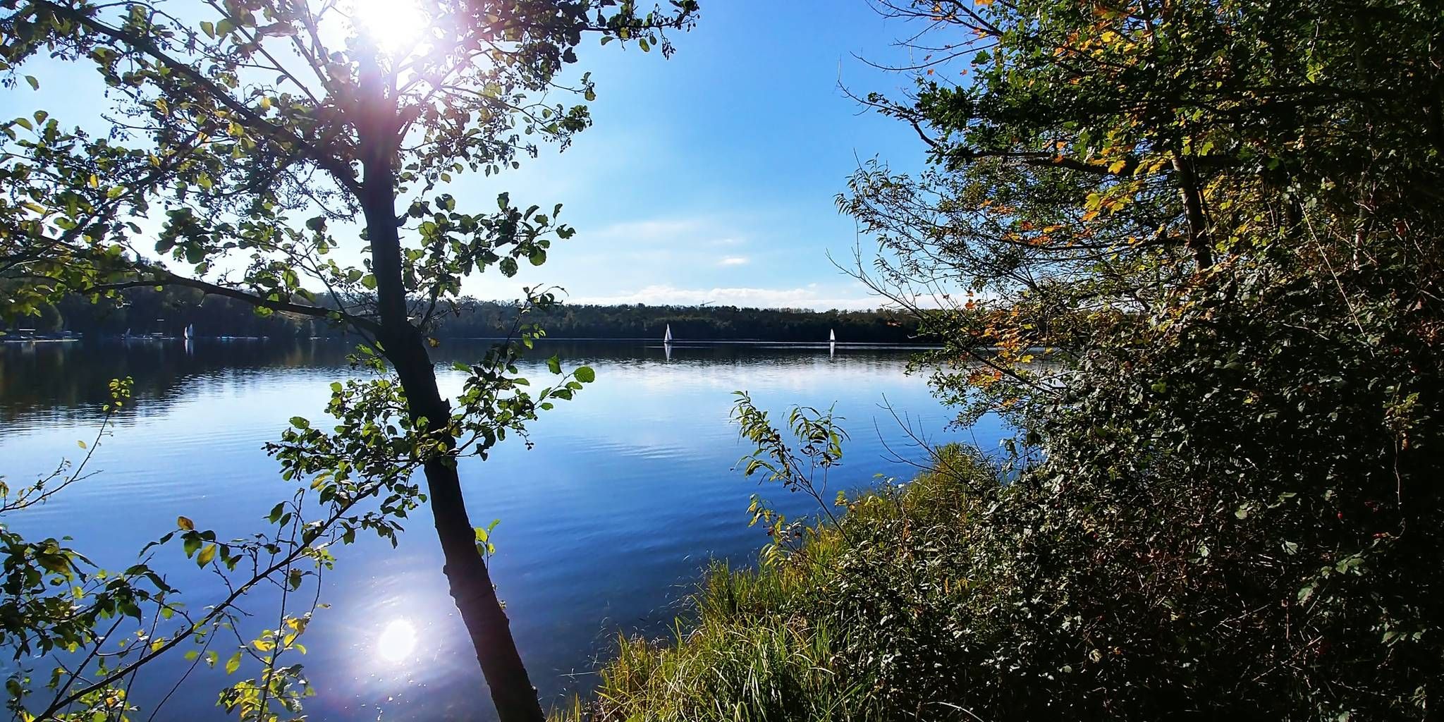
Waterfall hiking trails around Otto-Maigler-See are characterized by their gentle terrain and proximity to urban green spaces. The region features a network of paths that often incorporate small ponds and streams, providing a natural setting for outdoor activity. These trails typically offer minimal elevation gain, making them accessible for various fitness levels. The landscape primarily consists of parklands and wooded areas, offering shaded walks.
Best waterfall hiking trails around Otto-Maigler-See
- The most popular waterfall hiking route is Kalscheurer Pond –…
Last updated: June 25, 2026
5.0
(1)
3
hikers
5.60km
01:26
20m
20m
Easy hike. Great for any fitness level. Easily-accessible paths. Suitable for all skill levels.
22
hikers
Easy hike. Great for any fitness level. Easily-accessible paths. Suitable for all skill levels.

Sign up for free
3.7
(3)
19
hikers
Easy hike. Great for any fitness level. Easily-accessible paths. Suitable for all skill levels.
5.0
(2)
7
hikers
Easy hike. Great for any fitness level. Easily-accessible paths. Suitable for all skill levels.
5.0
(1)
20
hikers
Easy hike. Great for any fitness level. Easily-accessible paths. Suitable for all skill levels.
Get access to more routes and recommendations from other explorers.
Sign up for free
Already have an account?
Our route recommendations are based on thousands of hikes, rides, and runs completed by other people on komoot.
Start today with a free account
Your next adventure awaits.
Login or Signup
Popular around Otto-Maigler-See

Other adventures around Otto-Maigler-See

Tips from the Community

A very beautiful ensemble in the evening sun
0
0

The artificially created Deckstein Pond is located in the Lindenthal district and was built in the 19th century as part of the park design surrounding Villa Deckstein. Later, the area was opened to the public. I particularly like the chestnut avenue. When I'm there alone, I like to take the opportunity to pause and soak in the special atmosphere of this place.
1
0

Not chestnut trees, but plane trees. In any case, magnificent giants.
0
0

Added to the collection: https://www.komoot.com/de-de/collection/3600632/-naturdenkmaeler-besondere-baeume-und-weitere-schaetze-der-natur
0
0


We could hear Cologne's winning goal against Heidenheim live😉
0
0
Frequently Asked Questions
How challenging are the waterfall hikes around Otto-Maigler-See?
The waterfall hiking trails around Otto-Maigler-See are generally considered easy, with minimal elevation gain. Most of the 10 available routes are easy, making them accessible for various fitness levels and beginners. For example, the Kalscheurer Pond – Kalscheurer Pond loop from Sülz is an easy 4.2-mile trail.
What are the typical lengths of waterfall hikes in this area?
The waterfall hikes around Otto-Maigler-See vary in length, but most are suitable for a pleasant outing. You'll find trails ranging from approximately 3.1 miles (5 km) to 4.9 miles (7.9 km). The Decksteiner Pond Bridge – Decksteiner Pond loop from University of Cologne is one of the longer options at 4.9 miles.
Are there family-friendly waterfall hikes suitable for children?
Yes, the gentle terrain and minimal elevation gain of the trails around Otto-Maigler-See make them very suitable for families with children. Many routes incorporate parklands and ponds, offering an enjoyable experience for all ages. The Rose Garden in Klettenbergpark – Klettenbergpark Pond loop from Südstadion is an easy 3.5-mile path perfect for a family outing.
Can I bring my dog on the waterfall hiking trails?
Most trails in the Otto-Maigler-See region, especially those through parklands and wooded areas, are generally dog-friendly. It's always a good idea to keep your dog on a leash, especially in more populated areas or near wildlife. Always check local regulations for specific parks or nature reserves.
When is the best time of year to experience the waterfall hikes?
The waterfall hikes around Otto-Maigler-See can be enjoyed year-round. Spring and autumn offer pleasant temperatures and beautiful foliage, while summer provides lush green scenery. Even in winter, the trails offer a unique, tranquil experience, though conditions might be colder.
What should I wear for a waterfall hike around Otto-Maigler-See?
Given the generally easy and gentle terrain, comfortable walking shoes or light hiking boots are usually sufficient. Dress in layers to adapt to changing weather, and consider waterproof outerwear if there's a chance of rain, especially to stay comfortable near any water features.
Are there scenic loop trails that feature waterfalls?
Yes, the region offers several scenic loop trails that incorporate natural water features. These routes often wind through parklands and alongside ponds, providing picturesque views. An example is the Rose Garden in Klettenbergpark – Klettenbergpark Pond loop from University of Cologne, which offers a lovely circular walk.
What kind of wildlife might I encounter on these trails?
The parklands and wooded areas around Otto-Maigler-See are home to various local wildlife. You might spot common birds, squirrels, and other small mammals. Near the ponds and streams, you could also observe waterfowl and amphibians, adding to the natural experience.
Are there other attractions near the waterfall hiking trails?
Absolutely! The area around Otto-Maigler-See offers several points of interest. You can explore the Otto-Maigler Lake itself, including its Northeast Shore and Beach Club. Another notable site is the Roddergrube Mining Memorial, offering a glimpse into the region's industrial past.
Is parking available near the waterfall hiking trails?
As the trails are often close to urban green spaces and popular recreational areas, parking facilities are generally available. Specific parking options can vary by trailhead, so it's advisable to check the starting point of your chosen route for the most convenient access.
What do other hikers enjoy the most about hiking in Otto-Maigler-See?
The area is highly rated by the komoot community, with an average score of 4.4 stars from over 11,000 reviews. Hikers often praise the accessibility of the trails, the peaceful parkland settings, and the pleasant walks alongside ponds and streams, making it a popular choice for a relaxing outdoor escape.
Are there cafes or refreshment stops along the routes?
Given the proximity to urban areas and the popularity of the trails, you will often find cafes or refreshment options near the starting points or within a short distance of the routes, especially around the Otto-Maigler-See itself or in nearby parks like Klettenbergpark.
Most popular routes around Otto-Maigler-See
Most popular attractions around Otto-Maigler-See

Get inspired with the komoot mobile app


Explore more
Browse the best Hikes in other regions.
