The best road cycling routes around Otto-Maigler-See
4.4
(3500)
43,525
riders
460
rides
Road cycling routes around Otto-Maigler-See traverse the Rhein-Erft-Kreis region, characterized by generally flat to gently rolling terrain. The landscape features open fields, agricultural areas, and small towns, providing varied scenery for road cyclists. Routes often follow well-maintained asphalt roads, suitable for different skill levels. The area around Otto-Maigler-See offers a network of paths ideal for exploring the local environment on a road bike.
Best road cycling routes around Otto-Maigler-See
- The most popular road cycling route is Waffelmichel – Asphalted road…
Last updated: May 23, 2026
4.3
(8)
140
riders
Moderate road ride. Great for any fitness level. Some segments of this route may be unpaved and difficult to ride.
4.0
(2)
9
riders
22.7km
01:01
110m
110m
Easy road ride. Great for any fitness level. Mostly well-paved surfaces and easy to ride.

Sign up for free
4.5
(4)
27
riders
17.9km
00:50
110m
110m
Moderate road ride. Great for any fitness level. Some segments of this route may be unpaved and difficult to ride.
3.6
(5)
19
riders
22.1km
01:19
120m
120m
Easy road ride. Great for any fitness level. Mostly well-paved surfaces and easy to ride.
4.7
(11)
32
riders
Easy road ride. Great for any fitness level. Mostly well-paved surfaces and easy to ride.
Get access to more routes and recommendations from other explorers.
Sign up for free
Already have an account?
Our route recommendations are based on thousands of hikes, rides, and runs completed by other people on komoot.
Start today with a free account
Your next adventure awaits.
Login or Signup

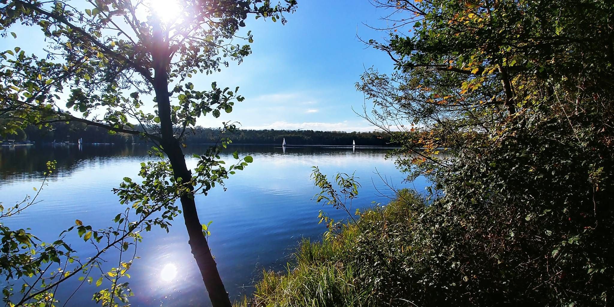
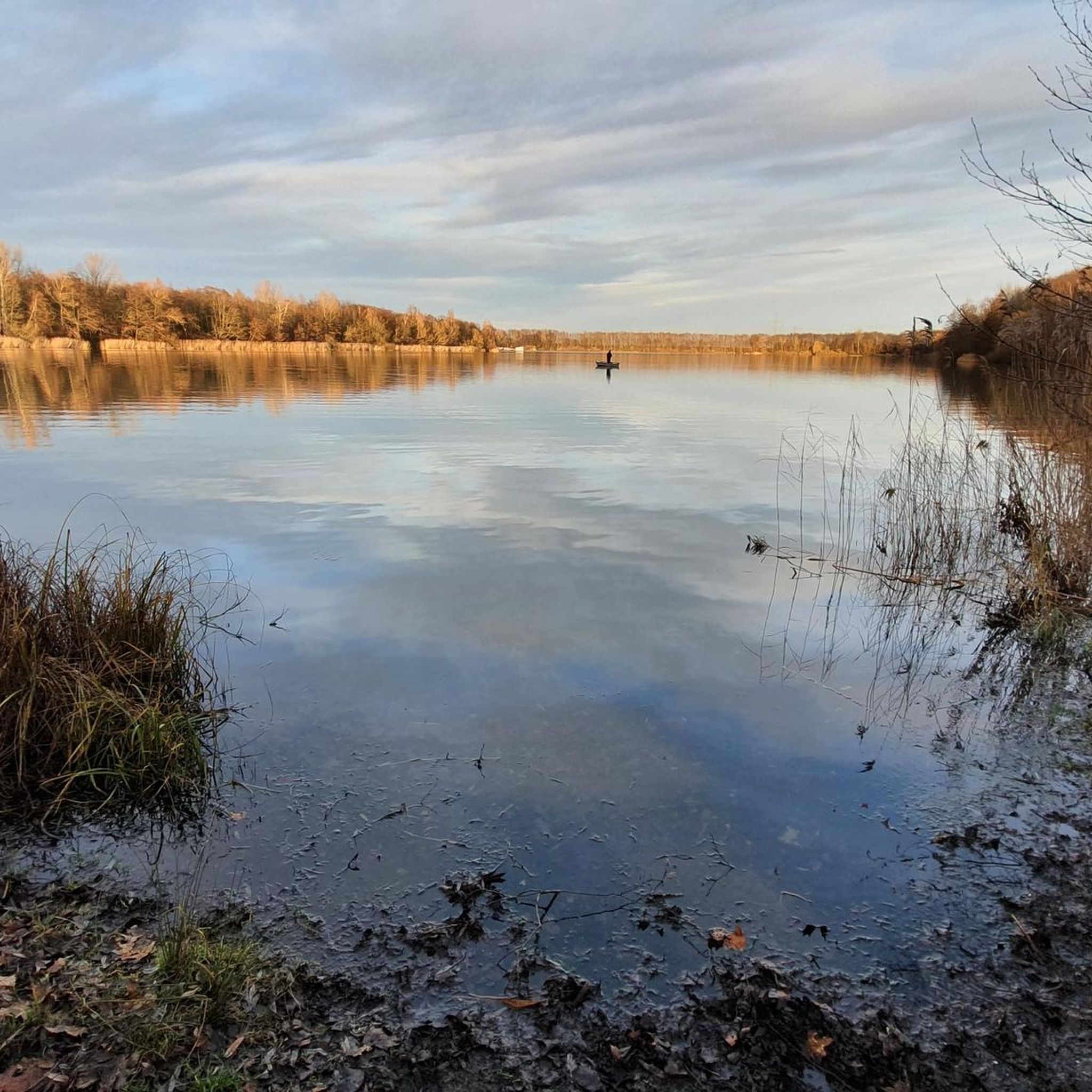
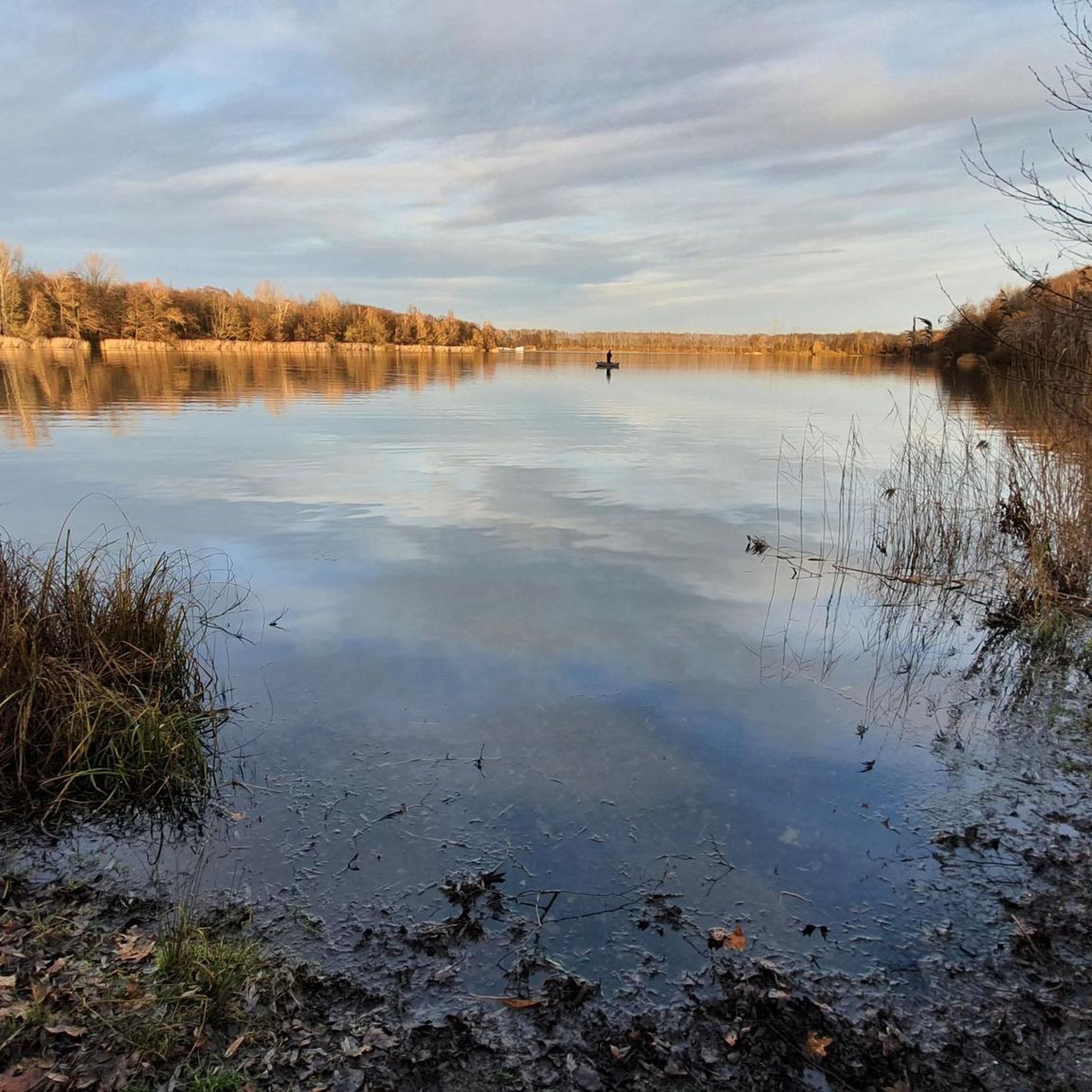
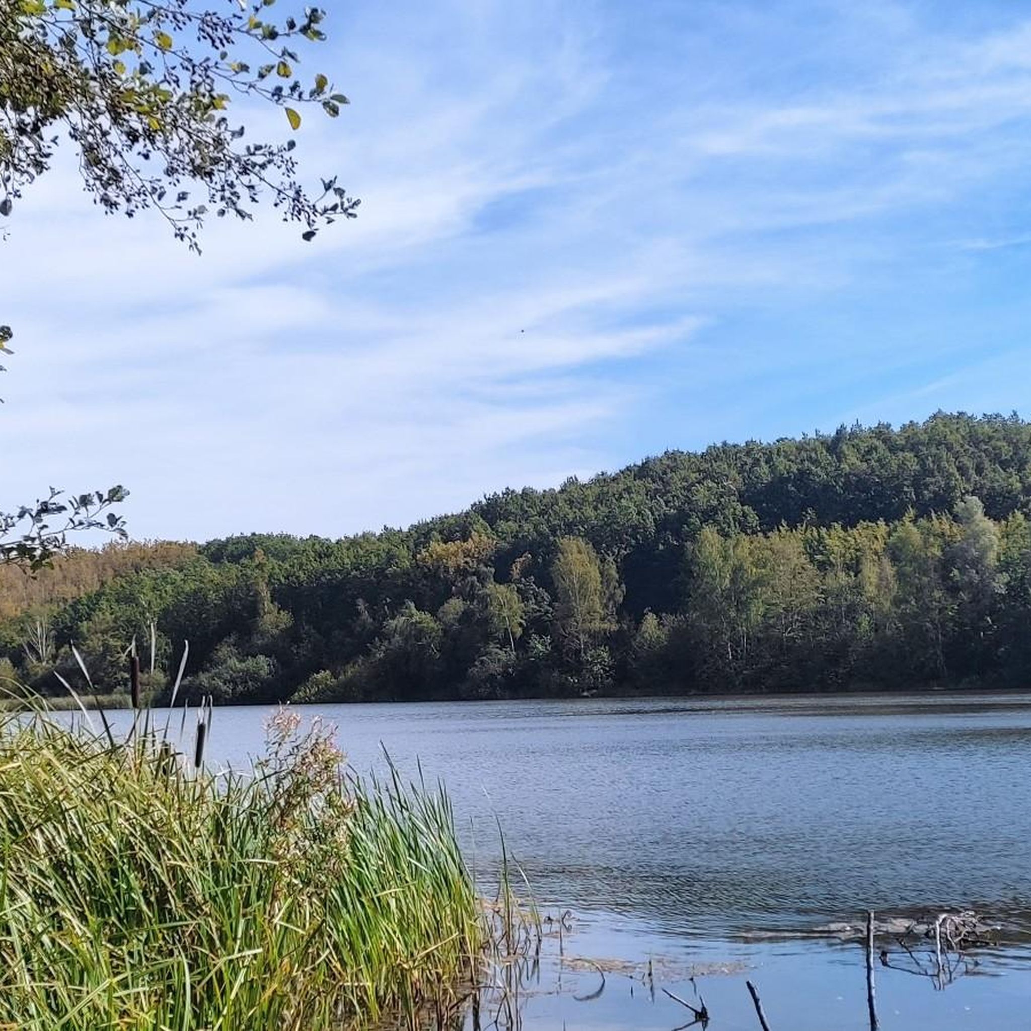
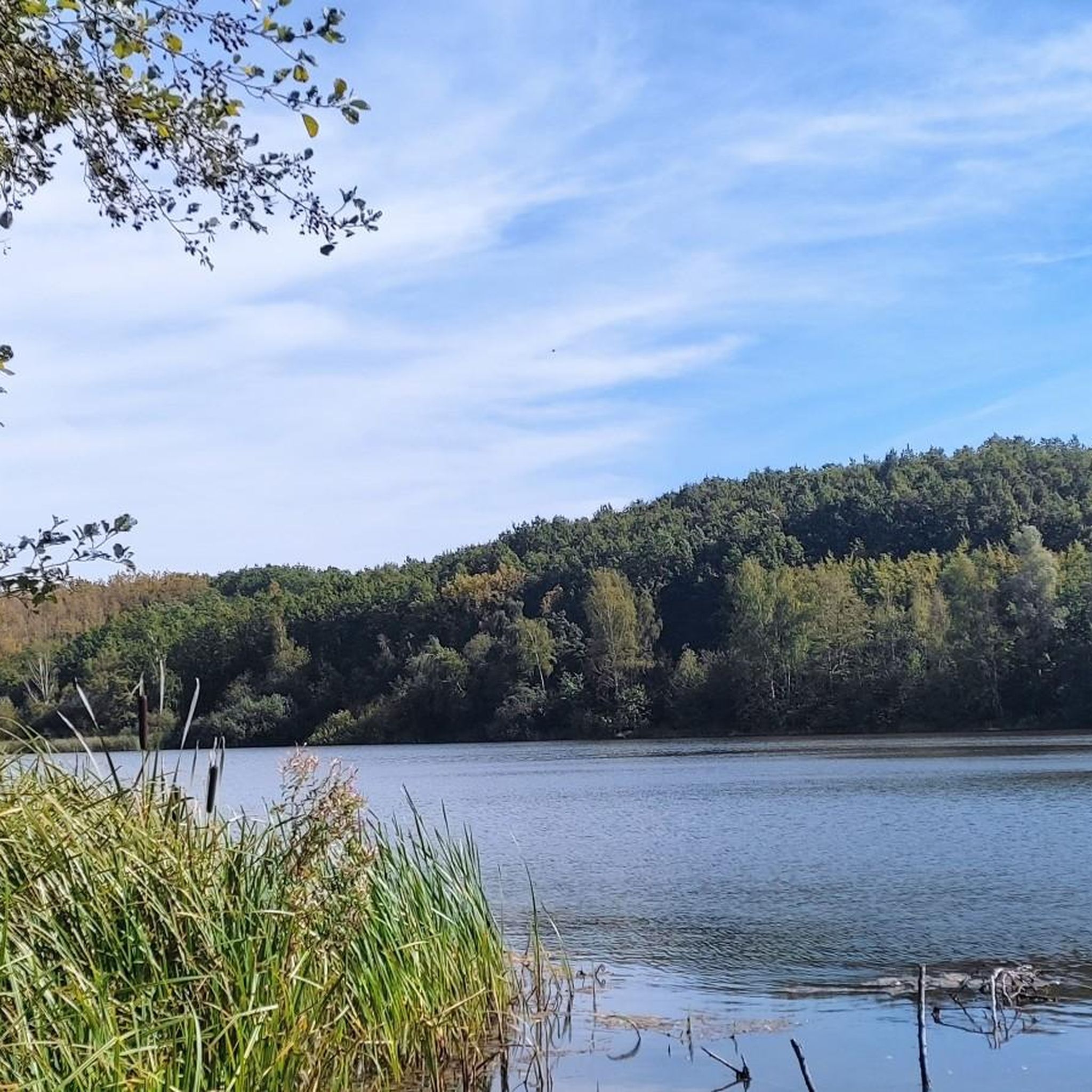
Other adventures around Otto-Maigler-See

Tips from the Community


Dirt path between Stotzheim and Gleuel
0
0

One of the classic climbs around Cologne.
0
0

The bridge serves as a shortcut if we don't have time to walk all the way around the pond. It offers beautiful views of the water on both sides.
0
0
Frequently Asked Questions
How many road cycling routes are available around Otto-Maigler-See?
There are over 460 road cycling routes available around Otto-Maigler-See, offering a wide variety of options for different skill levels and preferences.
What kind of terrain can I expect on road cycling routes near Otto-Maigler-See?
The road cycling routes around Otto-Maigler-See primarily traverse the Rhein-Erft-Kreis region, characterized by generally flat to gently rolling terrain. You'll encounter open fields, agricultural areas, and small towns, with routes often following well-maintained asphalt roads.
Are there easy road cycling routes suitable for beginners around Otto-Maigler-See?
Yes, the area offers a good selection of easy routes. For instance, the Waffelmichel – Asphalted road to Hürth loop from Gleuel is an easy 10.5-mile (17.0 km) trail with smooth asphalt roads. Another great option is the Out of Berrenrath – Berrenrather Börde Scenic Road loop from Berrenrath, an easy 14.1-mile (22.7 km) path offering scenic views.
Are there more challenging road cycling routes for experienced riders?
While the region is generally flat, there are moderate routes that offer longer distances and some elevation gain. The Konradsheim Moated Castle – Jakobusstraße loop from Berrenrath is a moderate 49.3-mile (79.3 km) trail that leads through open fields and past historical sites, providing a longer endurance challenge.
What are some scenic viewpoints or landmarks I can see along the routes?
Many routes offer scenic views across the Berrenrather Börde. You can also pass by significant landmarks such as the Roddergrube Mining Memorial. The routes often circle the Otto-Maigler Lake itself, providing pleasant lakeside views.
Are there circular road cycling routes available?
Yes, many of the routes around Otto-Maigler-See are designed as loops, allowing you to start and end at the same point. Examples include the Waffelmichel – Asphalted road to Hürth loop from Gleuel and the Out of Berrenrath – Berrenrather Börde Scenic Road loop from Berrenrath.
What do other road cyclists enjoy most about cycling in Otto-Maigler-See?
The area is highly rated by the komoot community, with an average score of 4.4 stars from over 3,200 reviews. Road cyclists often praise the well-maintained asphalt roads, the varied scenery of open fields and small towns, and the network of paths suitable for different ability levels.
What is the best season for road cycling around Otto-Maigler-See?
Spring, summer, and early autumn are generally the best seasons for road cycling around Otto-Maigler-See, offering pleasant temperatures and lush landscapes. The flat to gently rolling terrain makes it enjoyable for most of the year, weather permitting.
Are there any cafes or pubs along the road cycling routes for a break?
The routes often pass through or near small towns like Hürth, Berrenrath, and Frechen, where you can typically find local cafes, bakeries, or pubs to stop for refreshments and a break during your ride.
Is it possible to access the road cycling routes by public transport?
The towns surrounding Otto-Maigler-See, such as Hürth and Frechen, are generally well-connected by public transport within the Cologne region. You can often reach starting points of routes via bus or train, though checking specific connections and bike transport policies beforehand is advisable.
Where can I park my car when starting a road cycling tour?
Parking is typically available in the towns and villages near the starting points of the routes, such as Gleuel, Berrenrath, Hürth, or Frechen. Look for designated public parking areas, especially near local amenities or the lake itself.
Most popular routes around Otto-Maigler-See
Most popular attractions around Otto-Maigler-See

Get inspired with the komoot mobile app


Explore more
Browse the best Road cycling routes in other regions.
