The best running trails around Komatke
51
runners
12
runs
Jogging around Komatke offers an opportunity to explore the unique Sonoran Desert environment within the Gila River Indian Community. The region features a diverse desert landscape with abundant wildlife, providing a natural setting for outdoor activities. Running routes in Komatke traverse desert trails, offering varied terrain and elevation changes suitable for different fitness levels. This area is characterized by its natural features and a community emphasis on preserving the desert environment.
Best jogging routes around Komatke
- The most popular jogging…
Last updated: October 2, 2026
7
runners
16.5km
02:11
540m
540m
Hard run. Very good fitness required. Mostly paved surfaces. Suitable for all skill levels.
6
runners
4.62km
00:46
290m
290m
Moderate run. Good fitness required. Mostly paved surfaces. Suitable for all skill levels.

3
runners
6.65km
00:52
240m
240m
Moderate run. Good fitness required. Mostly paved surfaces. Suitable for all skill levels.
3
runners
13.5km
01:40
490m
490m
Hard run. Very good fitness required. Mostly paved surfaces. Suitable for all skill levels.
1
runners
15.3km
02:04
610m
620m
Hard run. Very good fitness required. Mostly paved surfaces. Suitable for all skill levels.
Get access to more routes and recommendations from other explorers.
Already have an account?
Our route recommendations are based on thousands of hikes, rides, and runs completed by other people on komoot.
Start today with a free account
Your next adventure awaits.
Tips from the Community

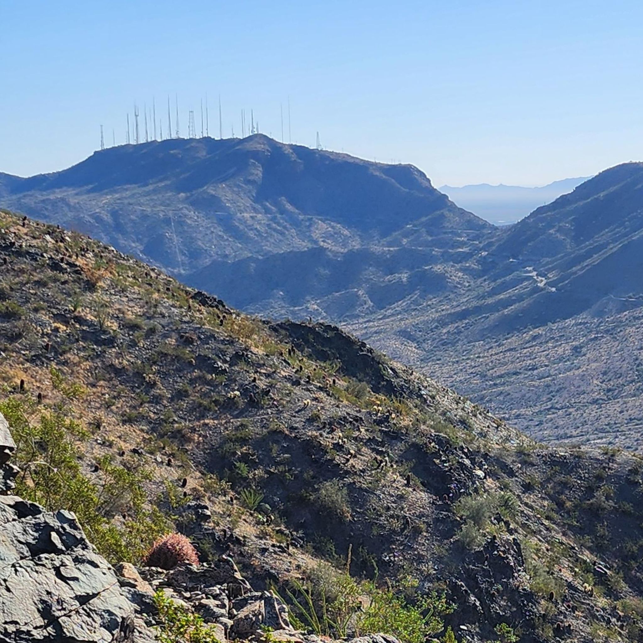
The Bajada Trail is one of the easier trails in the preserve. It still has the normal rocks and sand that you find on desert trails, but it's generally mild grades when it goes uphill and downhill. Likewise, you can hop on the paved service road that runs parallel to the trail if you want some faster running.
0
0
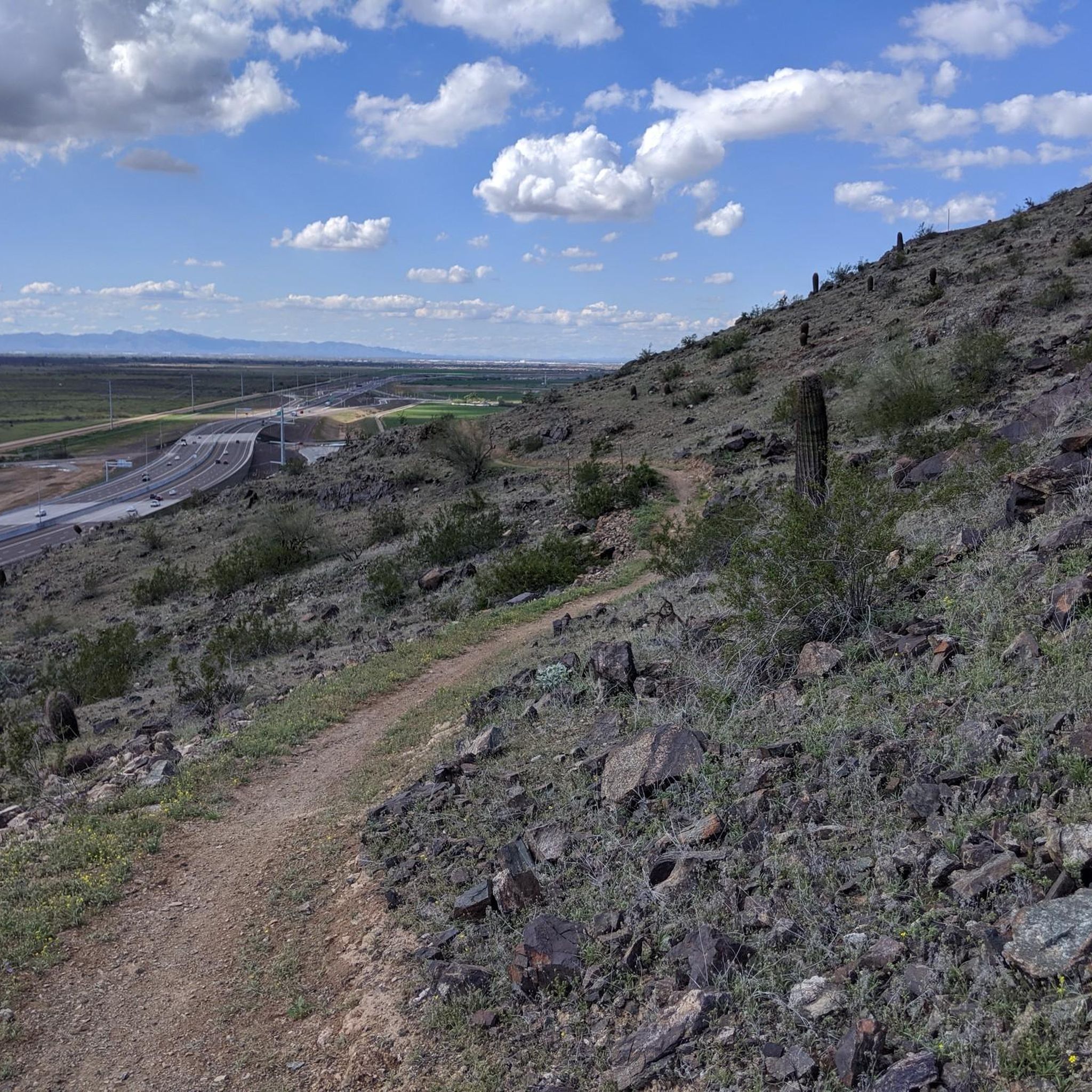
The T-bone Ridgeline is a mountain spine in the South Mountain Preserve with a singletrack trail following along the ridge. This is a cool trail running trail, but it's super steep in spots, so it's best if you have some trail running experience before going after this one. The views from the ridgeline are unobstructed and worth the effort.
0
0
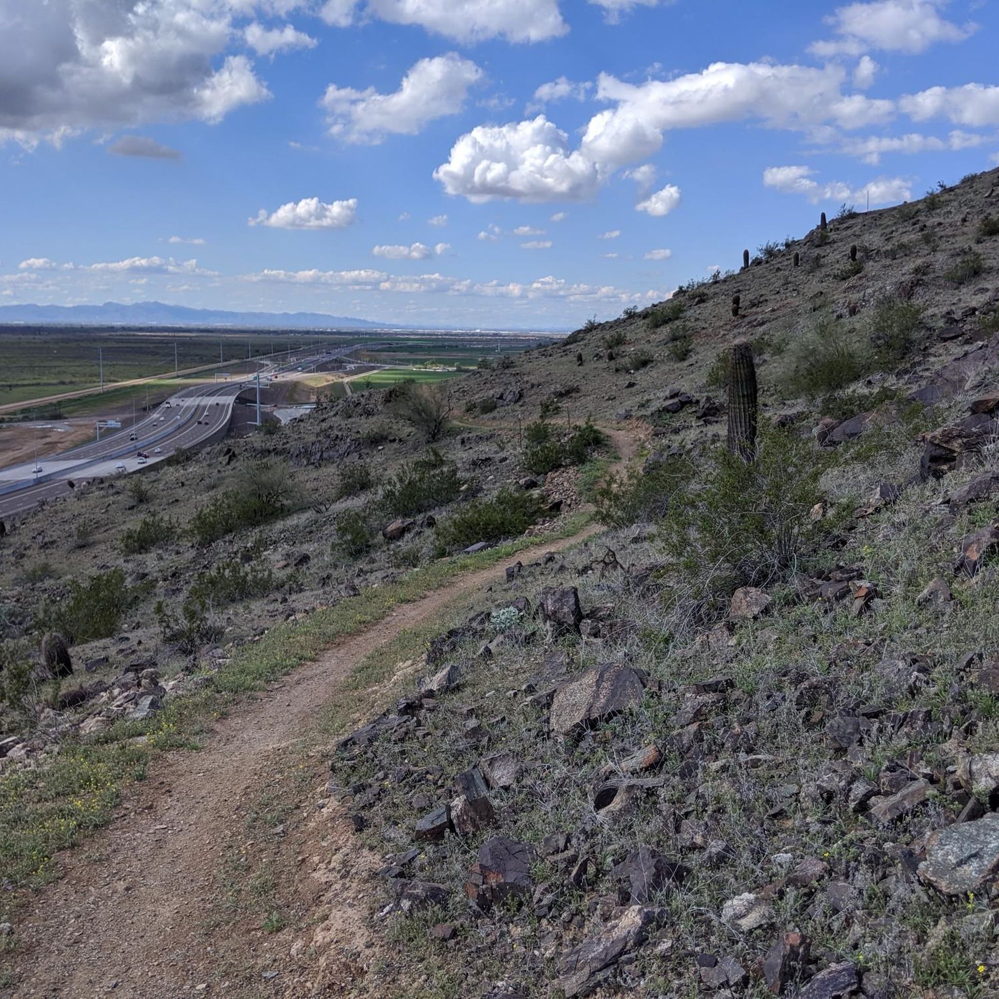
Known for having rockier switchbacks than a lot of the trails in the preserve, Alta Trail sees less bike traffic than many of the other good running trails in the park. This is a tough, technical trail for running, but the continuous views along the ridge make it worth it.
0
0
The National Trail is the most heavily trafficked trail in South Mountain Preserve. At the same time, most people don't do the whole trail straight through in one go. This section is popular for connecting other trails in the preserve to each other. It's a fairly smooth trail that's completely runnable.
0
0

The summit of pyramid has amazing views. You can see the Estrella mountain range to the west and the entire eastern portion of South Mountain to the east.
0
0
Frequently Asked Questions
How many running routes are available around Komatke?
There are 13 dedicated running routes around Komatke listed on komoot, offering a variety of experiences for different fitness levels. These routes traverse the unique Sonoran Desert environment, providing a scenic backdrop for your run.
What kind of terrain can I expect on the jogging trails in Komatke?
The jogging trails in Komatke primarily feature desert terrain with varied elevations. You'll encounter paths winding through scenic desert hills, offering a natural and immersive experience within the Sonoran Desert environment. Routes like the Telegraph Pass Trail showcase these characteristic desert hills.
Are there any challenging running routes for experienced runners in Komatke?
Yes, Komatke offers several challenging routes. For instance, the Goat Hill Loop via National and Pyramid Trail is a difficult 10.3-mile (16.5 km) route with significant elevation gain, perfect for those seeking a strenuous workout. Another difficult option is the Alta-Bajada Loop.
What are some natural features or landmarks I might see along the running routes?
While jogging around Komatke, you'll be immersed in the lush Sonoran Desert environment, home to abundant wildlife like wild horses, cottontail rabbits, and roadrunners. You might also encounter notable landmarks such as the Telegraph Pass Trail itself, which is a highlight, or explore parts of the South Mountain Preserve. The Scorpion Gulch is another interesting historical site nearby.
Are there any family-friendly running routes in Komatke?
While specific 'easy' routes aren't highlighted, moderate trails like the Pyramid Trail (4.1 miles / 6.6 km) or the Hau'pal Loop Trail (2.9 miles / 4.6 km) could be suitable for families looking for a less strenuous run. These routes offer a chance to experience the desert landscape together.
What is the best time of year to go running in Komatke?
Komatke, located in Arizona, experiences a desert climate. The best time for running is typically during the cooler months, from late fall through early spring (roughly October to April), when temperatures are more moderate. During these times, you can enjoy the breathtaking sunrises and warm golden sunsets without the intense heat of summer.
Are there any circular running routes available?
Yes, several routes offer a circular experience. The Goat Hill Loop via National and Pyramid Trail is a prominent example of a circular route, allowing you to start and end at the same point after exploring the desert landscape.
Can I bring my dog on the running trails in Komatke?
Many outdoor trails in the Sonoran Desert are dog-friendly, but it's always best to check specific park or trail regulations before heading out. When running with your dog, ensure they are on a leash, carry enough water for both of you, and be mindful of the desert heat and potential wildlife.
Where can I find parking for the running trails?
While specific parking details for each Komatke trail are not provided, many trailheads in the broader Gila River Indian Community and nearby areas like South Mountain Park/Preserve offer designated parking facilities. It's advisable to research the specific trailhead you plan to visit for the most accurate parking information.
What makes running in Komatke unique compared to other areas?
Running in Komatke offers a unique experience due to its pristine Sonoran Desert environment within the Gila River Indian Community. You'll be surrounded by diverse desert flora and fauna, enjoying scenic vistas of blue desert skies, breathtaking sunrises, and golden sunsets. The community's emphasis on preserving this natural beauty makes for a truly immersive and tranquil outdoor experience.
Are there any paved running options near Komatke?
While the Komatke guide focuses on desert trails, the broader region offers paved options. The Phoenix Sonoran Bikeway, for example, runs nearly the full length of Phoenix and could be accessible for paved jogging near Komatke, offering an alternative to the natural desert paths.
What is the average difficulty level of running routes in Komatke?
The running routes around Komatke offer a mix of difficulty levels. Out of the 13 routes, 5 are rated as moderate and 8 are rated as difficult. This variety ensures options for both intermediate runners and those looking for a more strenuous challenge.
Most popular routes around Komatke
Most popular attractions around Komatke

Get inspired with the komoot mobile app


Explore more
Browse the best Running Trails & Routes in other regions.
