The best road cycling routes around Komatke
4.7
(11)
210
riders
5
rides
Road cycling routes around Komatke traverse a landscape characterized by desert terrain and significant elevation changes, particularly within the South Mountain Preserve. The area features paved roads and paths that wind through hills and offer panoramic viewpoints. Cyclists can find routes with varied gradients, ranging from flatter sections near the Lakewood Waterfront to more demanding climbs leading to mountain passes. This region, situated near the Gila River Indian Community, provides road biking opportunities with distant views of the Sierra Estrella…
Last updated: August 20, 2026
5.0
(3)
100
riders
52.7km
02:34
680m
680m
Moderate road ride. Good fitness required. Some segments of this route may be unpaved and difficult to ride.
4.4
(8)
65
riders
Moderate road ride. Good fitness required. Mostly well-paved surfaces and easy to ride.

Sign up for free
10
riders
Moderate road ride. Good fitness required. Mostly well-paved surfaces and easy to ride.
12
riders
13.0km
00:36
170m
170m
Easy road ride. Great for any fitness level. Mostly well-paved surfaces and easy to ride.
11
riders
Easy road ride. Great for any fitness level. Mostly well-paved surfaces and easy to ride.
Our route recommendations are based on thousands of hikes, rides, and runs completed by other people on komoot.
Start today with a free account
Your next adventure awaits.
Login or Signup
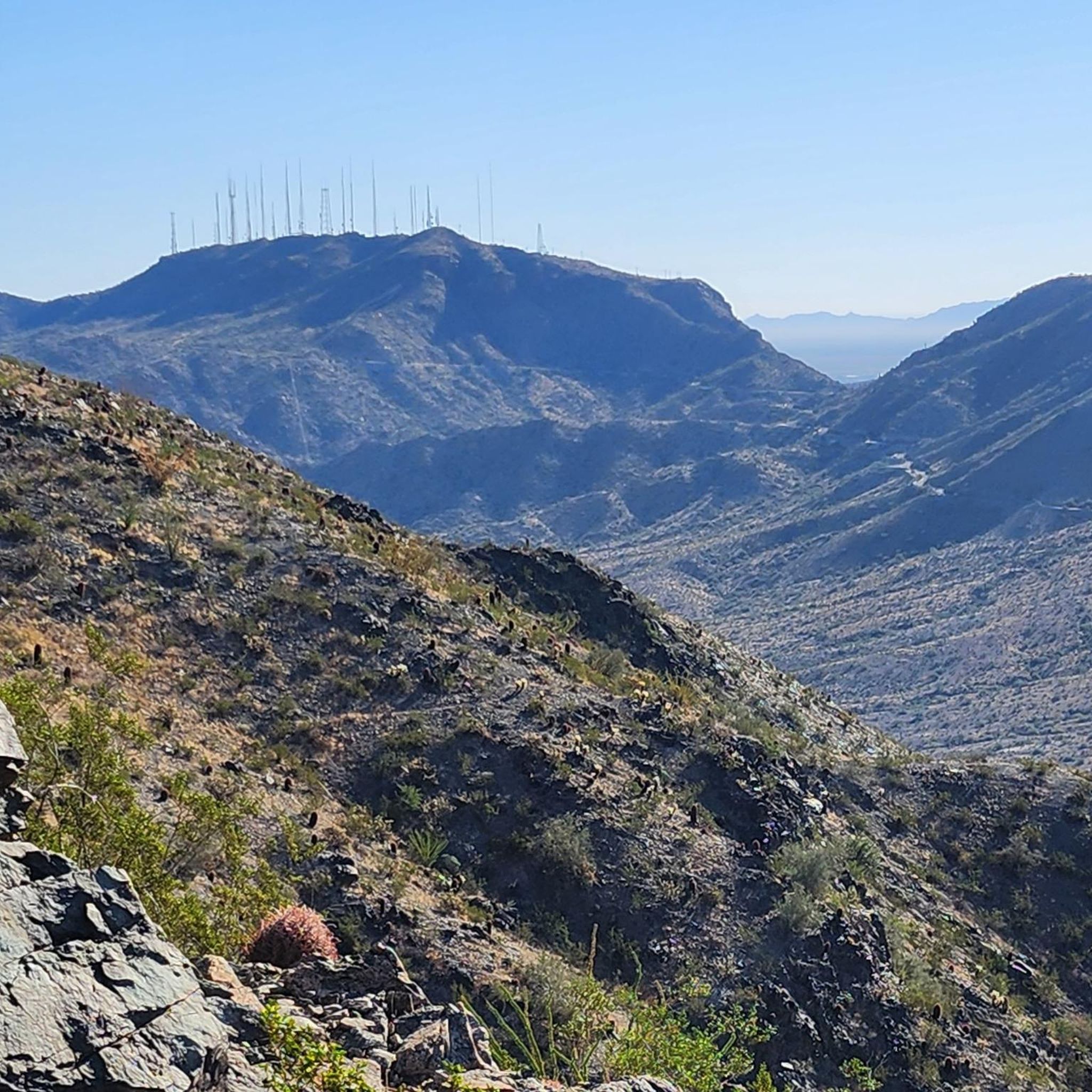

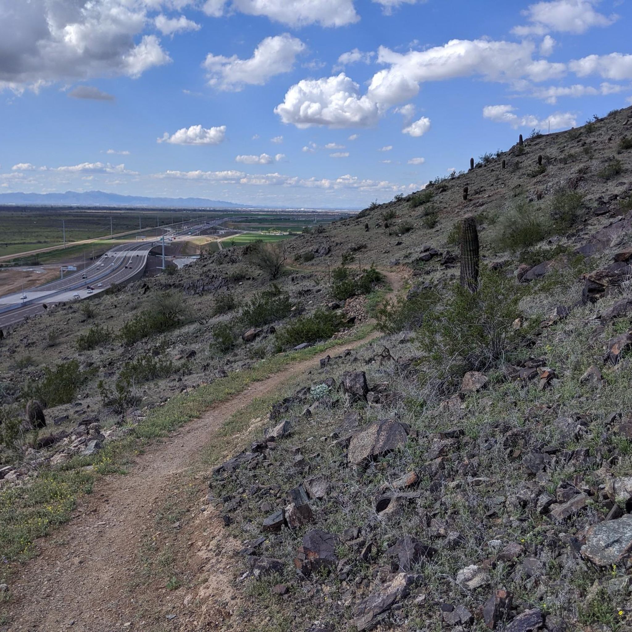
Tips from the Community

Summit Road travels through the heart of the South Mountain Preserve. It passes a number of overlooks, lots of trailheads, and even a couple restrooms, parking lots, and water fountains. The road is entirely paved and gets steep and twisty in spots.
0
0

The views from this winding road that travels through the South Mountain Preserve are fantastic, looking down to the plains below. South Mountain Preserve stands as one of North America's most extensive urban parks, encompassing over 16,000 acres, making it the largest in the United States. Recognized as a Phoenix Point of Pride, this expansive preserve offers a remarkable natural space for locals and visitors to enjoy.
0
0

San Juan Lookout is the highest point in the South Mountain Preserve. It is found at the most western point of the preserve, and getting here by bike is a good ride.
0
0

Dobbins Lookout offers fantastic views of Phoenix. Many visitors come in the evening to watch the sunset over the city.
0
0

South Mountain Preserve is one of the largest urban parks in North America and is the largest in the United States at more than 16,000 acres. It is designated as a Phoenix Point of Pride.
0
0
Summit Road travels through the heart of the South Mountain Preserve. It passes a number of overlooks, lots of trailheads, and even a couple restrooms, parking lots, and water fountains. The road is entirely paved and gets steep and twisty in spots.
0
0

Enjoy this climb up to this South Mountain Peak! Stay hydrated and consider riding up during the cooler hours of the day. The mountain has an elevation of about 2710 feet. The road is smooth and though it's challenging to ride up the last .5 mile at 15% grade, it makes for a fun ride down.
0
0

This lookout building was built by the Civilian Conservation Corps in the 1930's as a watchtower platform. From this point you'll enjoy clear views of Phoenix and surrounding cities. Make sure to take advantage of the informative plaque, which points out the various nearby landmarks for an enriching experience.
0
0
Frequently Asked Questions
Is road cycling publicly accessible within Komatke or the Gila River Indian Community?
No, public access for non-tribal members to Gila River Indian Community land, including Komatke, is restricted. Recreational activities like road cycling without explicit permission are considered trespassing. The routes mentioned in this guide are located in areas adjacent to Komatke, primarily within the South Mountain Preserve, which are publicly accessible.
Where can I find road cycling routes near Komatke that are publicly accessible?
While direct access to Komatke for public road cycling is restricted, the nearby South Mountain Preserve offers excellent road cycling opportunities. Routes like View of Telegraph Pass – South Mountain Preserve loop from 10th Av & McNeil St and South Mountain Preserve – Mount Suappoa loop from South Mountain Park and Preserve are popular choices in this area, providing scenic desert vistas and varied terrain.
What kind of terrain can I expect on road cycling routes near Komatke?
Road cycling routes in the vicinity of Komatke, particularly within the South Mountain Preserve, feature a diverse desert landscape. You can expect paved roads with significant elevation changes, including climbs to mountain passes, as well as flatter sections near areas like the Lakewood Waterfront. The routes offer panoramic views of the surrounding desert and distant Sierra Estrella mountains.
Are there any easy or beginner-friendly road cycling routes available?
Yes, there are options suitable for beginners. The Cool bike path – Lakewood Waterfront at Sunset loop from Bursera Trailhead is an easy 19.1-mile (30.7 km) trail that takes about 1 hour 14 minutes to complete, offering a more relaxed ride through waterfront areas. Another easy option is the Summit Road – Telegraph Pass Lookout loop from South Mountain Park and Preserve, which is shorter at 10.4 miles (16.8 km).
What is the best time of year for road biking near Komatke?
The broader Arizona landscape, including areas near Komatke, is well-regarded for road cycling due to its favorable winter weather. The cooler months, typically from late fall through early spring, offer the most comfortable conditions for cycling, avoiding the extreme heat of the summer.
Are there any scenic viewpoints or landmarks along the road cycling routes?
Yes, routes in the South Mountain Preserve offer several scenic points. The View of Telegraph Pass – South Mountain Preserve loop provides excellent views of Telegraph Pass. Other notable highlights in the area include the Phoenix Sonoran Bikeway — South Mountain, the Telegraph Pass Trail, and the Scorpion Gulch historical site.
How many road cycling routes are available in the Komatke area?
There are over 5 road cycling routes available in the publicly accessible areas near Komatke, primarily within the South Mountain Preserve and around the Lakewood Waterfront. These routes cater to various skill levels, from easy loops to more challenging climbs.
What do other road cyclists enjoy most about road cycling near Komatke?
The routes in the Komatke area are highly rated by the komoot community, with an average score of 4.8 stars from over 9 reviews. Cyclists often praise the diverse desert landscapes, the challenging mountain passes, and the scenic waterfront paths. Many appreciate the variety of options for different ability levels.
Are there any loop road bike trails available?
Yes, most of the road cycling routes in the area are designed as loops. Examples include the View of Telegraph Pass – South Mountain Preserve loop, the South Mountain Preserve – Mount Suappoa loop, and the Lakewood Waterfront at Sunset loop from Bursera Trailhead.
What are the difficulty levels of road cycling routes near Komatke?
The routes near Komatke offer a range of difficulty levels. You can find easy routes, such as the Cool bike path – Lakewood Waterfront at Sunset loop, which are relatively flat. There are also moderate routes like the View of Telegraph Pass – South Mountain Preserve loop, which include significant elevation gains and descents.
Are there options for longer road cycling tours?
For those seeking longer rides, the Lakewood Waterfront at Sunset loop from Bursera Trailhead covers 30.8 miles (49.5 km) and is an easy route. The View of Telegraph Pass – South Mountain Preserve loop is another substantial option at 26.2 miles (42.1 km), offering a moderate challenge with its climbs.
Most popular routes around Komatke
Most popular attractions around Komatke

Get inspired with the komoot mobile app


Explore more
Browse the best Road cycling routes in other regions.
