The best running trails around Gila Crossing
24
runners
7
runs
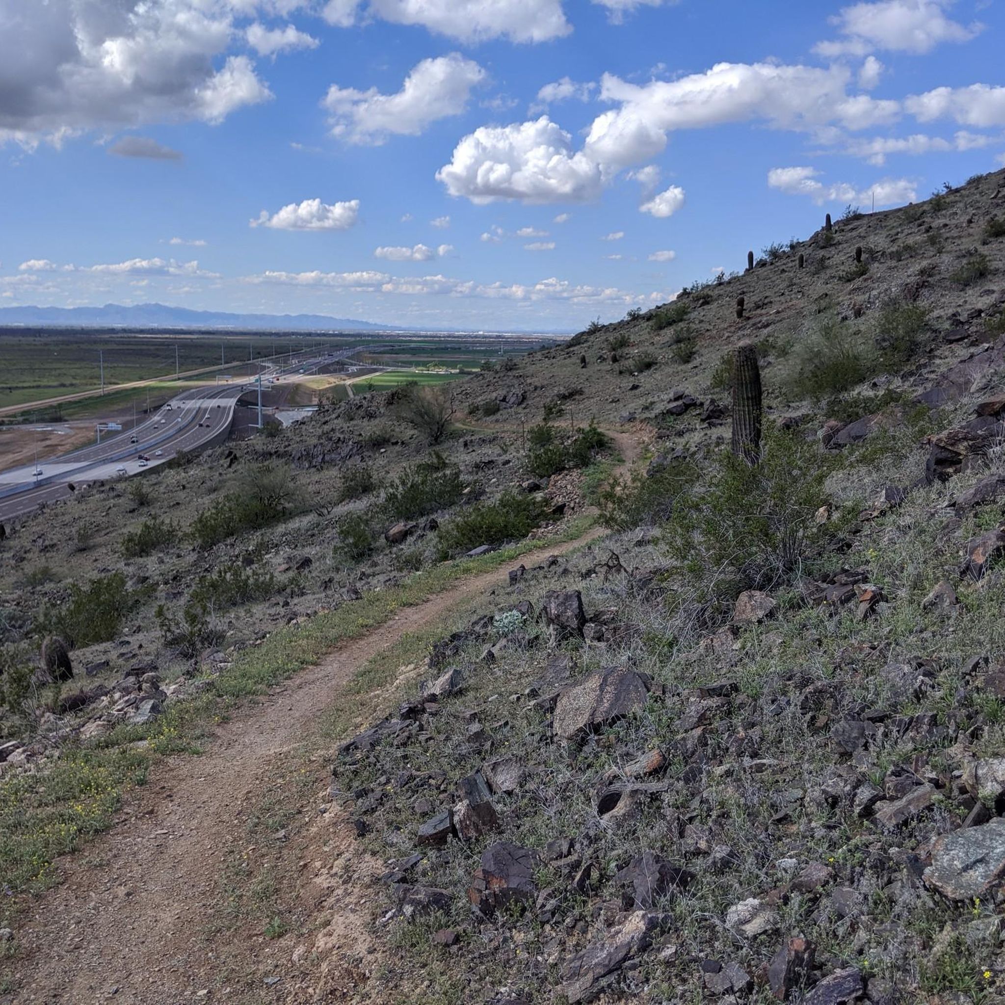
Jogging routes around Gila Crossing traverse a diverse landscape characterized by desert ecosystems, mountain ranges, and riparian areas along the Gila River. The region offers a mix of paved paths and rugged trails, with notable features including the iconic saguaro cacti and dramatic desert spires. Elevations range from the river valleys to the foothills of the Estrella and South Mountains, providing varied terrain for running. The area's natural environment supports a range of outdoor activities, with trails catering to different…
Last updated: October 2, 2026
7
runners
16.5km
02:11
540m
540m
Challenge yourself on the Goat Hill Loop via National and Pyramid Trail, a difficult 10.3-mile jogging route with panoramic Phoenix views.
3
runners
6.65km
00:52
240m
240m
Jog the Pyramid Trail in South Mountain Park for a moderate 4.1-mile climb, offering panoramic desert views from the summit.

3
runners
13.5km
01:40
490m
490m
Jog the difficult 8.4-mile Alta-Bajada Loop in South Mountain Preserve, gaining 1600 feet for panoramic views of Phoenix.
1
runners
15.3km
02:04
610m
620m
Jogging the difficult 9.5-mile Alta and Ma-Ha-Tuak Perimeter Loop offers a challenging desert experience with 2003 feet of gain.
1
runners
47.8km
06:02
1,280m
1,280m
Jog the difficult 29.7-mile National Trail in South Mountain Preserve, gaining 4214 feet with desert views and red-rock formations.
Get access to more routes and recommendations from other explorers.
Already have an account?
Our route recommendations are based on thousands of hikes, rides, and runs completed by other people on komoot.
Start today with a free account
Your next adventure awaits.
Popular around Gila Crossing


Tips from the Community

Really useful trail head with water and toilet facilities.
0
0

The Pima Canyon Trailhead is one of the most popular trailheads for the South Mountain Preserve. There are a bunch of different trails that start/finish in the parking lot (including the National Trail), and there are a bunch of different loop and route options starting from here. There are restrooms, trail maps, and adequate parking at this trailhead.
0
0

Wow, what a trail. If you are looking for a great workout, try to climb all sections of the National Trail starting at Pima Canyon Trailhead. The climbing is really tough, but a lot of fun if you like technical, challenging climbs. Also amazing as an out and back ride to the Buena Vista Lookout.
1
0

The Pima Canyon Trailhead is one of the busier areas of the South Mountain Preserve. There are a number of trails that start here and head in all directions and there's something for all skill levels as well. With restrooms, water, and posted trail maps you'll have whatever you need to get your ride started right.
0
1
The National Trail is literally & figuratively the backbone of the South Mountain Preserve. The section east of the Buena Vista trailhead is probably the most ridden section of the 14 mile trail, and for good reason. You'll find plenty of technical rocky section, a few good drops, and some fun flowy sections. Most of the bigger features have a ride around option so those of varying skill levels can take different lines.
0
0
The Pima Canyon Trailhead is one of the most popular trailheads for the South Mountain Preserve. There are a bunch of different trails that start/finish in the parking lot (including the National Trail), and there are a bunch of different loop and route options starting from here. There are restrooms, trail maps, and adequate parking at this trailhead.
0
0
The Bajada Trail is one of the easier trails in the preserve. It still has the normal rocks and sand that you find on desert trails, but it's generally mild grades when it goes uphill and downhill. Likewise, you can hop on the paved service road that runs parallel to the trail if you want some faster running.
0
0
The T-bone Ridgeline is a mountain spine in the South Mountain Preserve with a singletrack trail following along the ridge. This is a cool trail running trail, but it's super steep in spots, so it's best if you have some trail running experience before going after this one. The views from the ridgeline are unobstructed and worth the effort.
0
0
Frequently Asked Questions
What types of running routes can I find around Gila Crossing?
The Gila Crossing area offers a diverse range of running experiences. You'll find a mix of paved paths and rugged trails, catering to various fitness levels. The landscape features iconic Sonoran Desert scenery with saguaro cacti, dramatic desert spires, and lush riparian environments along the Gila River. Routes vary from moderate paths within the South Mountain Preserve to more challenging, longer trails with significant elevation gain.
Are there any easy or beginner-friendly running routes in the Gila Crossing area?
While many routes in the immediate vicinity are moderate to difficult, the broader region offers options. For a moderate experience, consider the Pyramid Trail — South Mountain Preserve, which is 4.1 miles (6.6 km) long. Additionally, the "cool bike path" located just south of the freeway offers a car-free, paved option for a more relaxed run, spanning approximately 6 miles.
What are some notable natural features or attractions I might see while running near Gila Crossing?
Runners in the Gila Crossing area can experience the stunning Sonoran Desert ecosystem, complete with saguaro cacti and unique geological formations. The Gila River itself creates lush, shaded riparian areas. Within the South Mountain Preserve, you can enjoy panoramic views from overlooks like Summit Road. Further afield, the Gila National Forest offers vast wilderness, and the Gila Box Riparian National Conservation Area is excellent for wildlife spotting, especially birds.
Are there any running paths suitable for families or those looking for less strenuous options?
Yes, for families or those seeking less strenuous options, the paved "cool bike path" south of the freeway is an excellent choice. It's exclusively for bikes and walkers, providing a safe and enjoyable car-free environment for about 6 miles. While specific family-friendly trails aren't detailed in the immediate guide, the Gila Box Riparian National Conservation Area also offers informal paths and a 3.2 km trail that could be suitable for a leisurely jog with wildlife viewing opportunities.
What is the dog policy for running trails in the South Mountain Preserve?
Many trails within the South Mountain Preserve, including popular running routes, are generally dog-friendly. However, it is crucial to keep dogs on a leash at all times and to carry enough water for both yourself and your pet, especially given the desert environment. Always check specific trail regulations or park signage for the most current dog policies before heading out.
Are there any circular running routes available?
Yes, several excellent circular running routes are available. For a challenging loop, consider the Pyramid, National, & Bursera Trail loop — South Mountain Preserve, which is 10.3 miles (16.5 km). Another great option is the Alta Trail & Bajada Trail loop — South Mountain Preserve, spanning 8.4 miles (13.5 km) through desert terrain.
What are the parking options for running trails near Gila Crossing, especially for South Mountain Preserve?
The South Mountain Preserve, which hosts many of the popular running routes, offers various parking areas. While specific fees are not detailed, parking is generally available at trailheads. It's advisable to arrive early, especially on weekends, as popular spots can fill up quickly. Always check local park websites for any updated parking information or potential fees.
Can I access trails within the Gila River Indian Community, and do I need permits?
Access to trails within the Gila River Indian Community, such as the Gila River MAR 5 Interpretive Trail, may require specific permits or adherence to community regulations. It is essential to respect tribal lands and inquire directly with the Gila River Indian Community authorities regarding public access and any necessary permits before planning your run.
What is the best time of year to go running in Gila Crossing?
The cooler months, typically from late fall through early spring (October to April), are generally the most pleasant for running in Gila Crossing. During these times, temperatures are milder, making long runs more enjoyable. Summer months can be extremely hot, so if running then, it's best to go very early in the morning or late in the evening and carry ample water.
Are there any places to eat or get refreshments near the running trails?
While the immediate trailheads might not have extensive facilities, the broader Gila Crossing and Phoenix metropolitan area offer various cafes, restaurants, and refreshment options. After a run in South Mountain Preserve, you'll find dining choices in nearby Phoenix neighborhoods. It's always a good idea to plan your post-run refreshments in advance, especially if you're heading to more remote trail locations.
How many running routes are available in the Gila Crossing area?
Komoot features 7 curated running routes around Gila Crossing, offering a variety of distances and difficulty levels. These routes are popular among local runners and showcase the diverse desert and mountain landscapes of the region.
What is the elevation gain like on running routes around Gila Crossing?
Running routes around Gila Crossing, particularly those in the South Mountain Preserve, can feature significant elevation gain. For example, the Pyramid, National, & Bursera Trail loop has an elevation gain of over 540 meters (1,770 feet), making for a challenging workout. Even moderate routes like the Pyramid Trail include over 240 meters (780 feet) of ascent.
Most popular routes around Gila Crossing
Most popular attractions around Gila Crossing

Get inspired with the komoot mobile app


Explore more
Browse the best Running Trails & Routes in other regions.
