The best road cycling routes around Gila Crossing
4.8
(12)
199
riders
4
rides
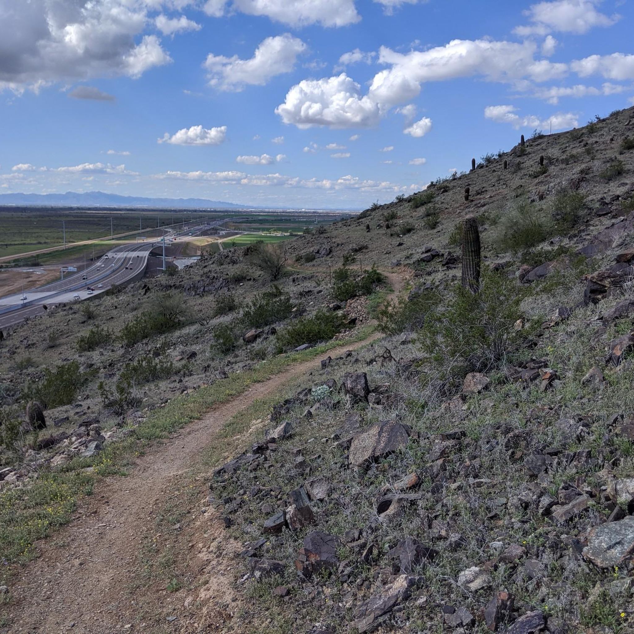
Road cycling routes around Gila Crossing are set within the Sonoran Desert landscape of the Gila River Indian Community in Maricopa County, Arizona. The region features diverse desert flora, including saguaro cacti, and offers views of mountain ranges like the Estrella and South Mountains. Cyclists can find paved paths and roads, with some areas featuring improved infrastructure and planned bicycle lanes. The terrain includes desert washes and mesas, providing varied scenery for road cycling.
Best road cycling routes around Gila…
Last updated: October 6, 2026
5.0
(1)
27
riders
84.0km
03:19
180m
180m
The South Mountain Perimeter loop is a 52.2-mile road cycling route in Phoenix, Arizona, offering desert views and a moderate challenge.
5.0
(3)
100
riders
52.7km
02:34
680m
680m
Moderate road ride. Good fitness required. Some segments of this route may be unpaved and difficult to ride.

4.4
(8)
65
riders
Moderate road ride. Good fitness required. Mostly well-paved surfaces and easy to ride.
7
riders
20.4km
00:50
90m
90m
Easy road ride. Great for any fitness level. Mostly well-paved surfaces and easy to ride.
Our route recommendations are based on thousands of hikes, rides, and runs completed by other people on komoot.
Start today with a free account
Your next adventure awaits.
Popular around Gila Crossing


Tips from the Community

Summit Road travels through the heart of the South Mountain Preserve. It passes a number of overlooks, lots of trailheads, and even a couple restrooms, parking lots, and water fountains. The road is entirely paved and gets steep and twisty in spots.
0
0

The views from this winding road that travels through the South Mountain Preserve are fantastic, looking down to the plains below. South Mountain Preserve stands as one of North America's most extensive urban parks, encompassing over 16,000 acres, making it the largest in the United States. Recognized as a Phoenix Point of Pride, this expansive preserve offers a remarkable natural space for locals and visitors to enjoy.
0
0

San Juan Lookout is the highest point in the South Mountain Preserve. It is found at the most western point of the preserve, and getting here by bike is a good ride.
0
0

Dobbins Lookout offers fantastic views of Phoenix. Many visitors come in the evening to watch the sunset over the city.
0
0

South Mountain Preserve is one of the largest urban parks in North America and is the largest in the United States at more than 16,000 acres. It is designated as a Phoenix Point of Pride.
0
0

Enjoy this climb up to this South Mountain Peak! Stay hydrated and consider riding up during the cooler hours of the day. The mountain has an elevation of about 2710 feet. The road is smooth and though it's challenging to ride up the last .5 mile at 15% grade, it makes for a fun ride down.
0
0

This lookout building was built by the Civilian Conservation Corps in the 1930's as a watchtower platform. From this point you'll enjoy clear views of Phoenix and surrounding cities. Make sure to take advantage of the informative plaque, which points out the various nearby landmarks for an enriching experience.
0
0
Telegraph Pass overlook gives riders a view down to the city of South Mountain, and around the mountain area of South Mountain Preserve. There are hiking trails near here as well but the overlook itself has a great view.
0
0
Frequently Asked Questions
What kind of terrain can I expect on road cycling routes around Gila Crossing?
Road cycling routes in the Gila Crossing area traverse the unique Sonoran Desert landscape. You'll encounter diverse desert flora, including towering saguaro cacti and palo verde trees, with views of mountain ranges like the Estrella and South Mountains. The terrain includes paved sections through open desert, some with climbs and twists, and others offering more gentle, car-free stretches. Expect varied scenery with desert washes and mesas.
Are there any challenging road cycling routes in Gila Crossing?
Yes, for those seeking a challenge, the South Mountain Perimeter loop is a moderate route that includes climbs and scenic views within the South Mountain Preserve. This 52.2-mile route features an elevation gain of approximately 176 meters, offering a rewarding experience for more experienced cyclists.
Are there any easy or family-friendly road cycling routes in the Gila Crossing area?
Absolutely. The region offers several easy routes suitable for a more relaxed ride. The Lakewood Waterfront at Sunset loop from Bursera Trailhead is an easy 30.8-mile path that traverses paved sections through the desert. Another excellent option is the Cool bike path loop from Bursera Trailhead, a shorter 14.9-mile car-free, paved stretch, perfect for families or those looking for a leisurely ride.
What are some notable landmarks or scenic viewpoints along the road cycling routes?
Cyclists can enjoy stunning views of the Sonoran Desert and distant mountain ranges. The Summit Road within the South Mountain Preserve offers scenic overlooks. The Cool bike path provides a car-free experience through the desert. While cycling, you'll also see diverse desert flora, including saguaro cacti, and may catch glimpses of the Gila River valley.
What is the best time of year to go road cycling in Gila Crossing?
The cooler months, typically from late fall through spring (October to April), are ideal for road cycling in Gila Crossing. During these times, temperatures are more moderate, making for a more comfortable ride. Summer months can be extremely hot, so early morning rides are recommended if cycling during that season.
Are there any loop routes available for road cycling?
Yes, several routes are designed as loops, allowing you to start and end at the same point. Examples include the South Mountain Perimeter loop, the Lakewood Waterfront at Sunset loop from Bursera Trailhead, and the Cool bike path loop from Bursera Trailhead. These circular routes offer varied distances and difficulties.
What do other road cyclists enjoy most about road cycling in Gila Crossing?
The road cycling routes around Gila Crossing are highly rated by the komoot community, with an average score of 4.8 stars from over 5 reviews. Cyclists often praise the unique Sonoran Desert landscapes, the well-maintained paved paths, and the opportunity to experience the natural beauty and mountain vistas of the region.
Is there dedicated parking for road bike trails in the Gila Crossing area?
While specific parking details for every trailhead are not always explicitly listed, many routes, such as those originating from the Bursera Trailhead, typically have designated parking areas. It's advisable to check the specific route details on komoot for parking information related to your chosen starting point.
Are there any cultural or historical attractions near the cycling routes?
The Gila Crossing area is within the Gila River Indian Community, offering a chance to experience the heritage of the Akimel O'odham (Pima) and Pee-Posh (Maricopa) people. While cycling, you'll be immersed in this culturally rich landscape. The broader Gila River area also contains remnants of historical sites, such as the Cochran Ghost Town and old train trestles, adding historical intrigue to explorations.
What kind of natural features can I expect to see while cycling?
The region is rich in Sonoran Desert natural features. You'll cycle past diverse desert flora, including iconic saguaro cacti, cholla, sagebrush, and palo verde trees. Depending on the season, the desert can burst with wildflowers. You'll also enjoy views of the Estrella and South Mountain ranges, and the terrain includes sandy washes and rock mesas, providing a varied and scenic backdrop for your ride.
Are there any specific permits required for cycling within the Gila River Indian Community?
The Gila River Indian Community manages its lands. While general public roads are accessible, it's always recommended to be aware of local regulations. For specific areas or trails, it's best to consult the Gila River Indian Community's official resources or local signage for any permit requirements before your ride.
Most popular routes around Gila Crossing
Most popular attractions around Gila Crossing

Get inspired with the komoot mobile app


Explore more
Browse the best Road cycling routes in other regions.
