The best road cycling routes in Shawnee National Forest
4.0
(1)
31
riders
15
rides
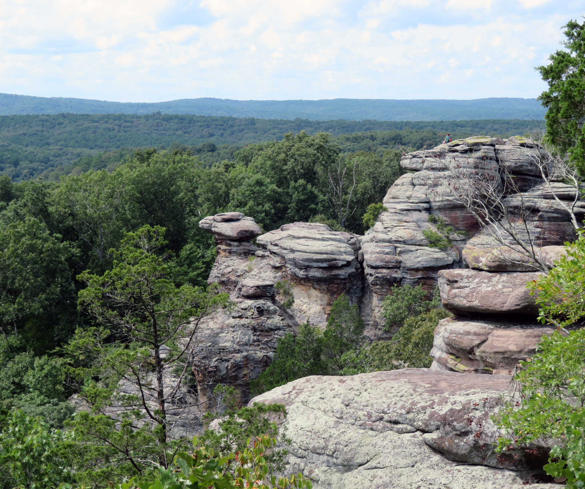
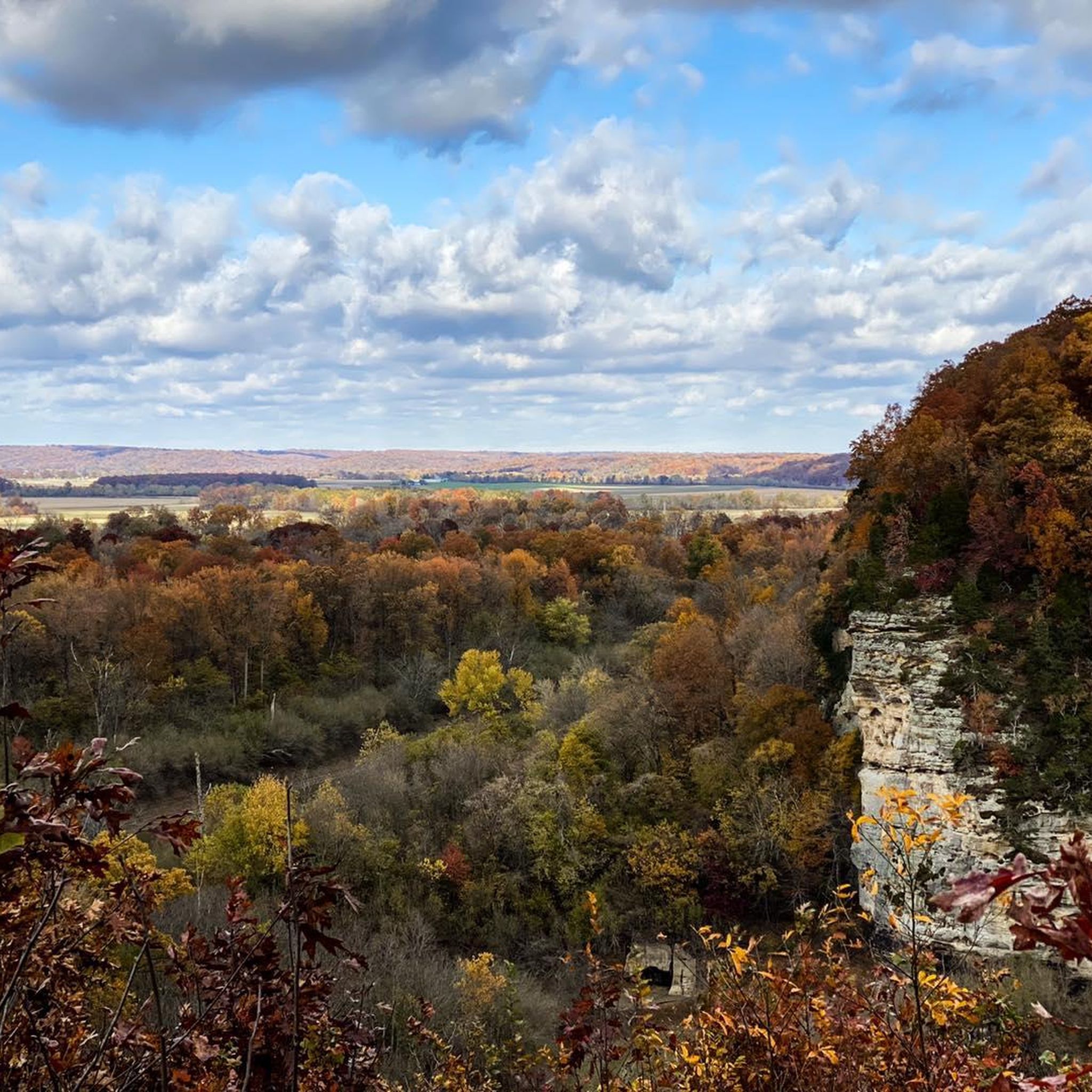
Road cycling in Shawnee National Forest features a landscape characterized by dense woodlands, river valleys, and rolling hills. The region's terrain includes moderate elevation changes, offering varied road cycling experiences. Limestone bluffs and forested areas are common features along many routes. This area provides a mix of paved roads suitable for road cyclists seeking both challenging climbs and more gentle rides.
Best road cycling routes in Shawnee National Forest
- The most popular road cycling route is Cape Woods Conservation Area…
Last updated: October 11, 2026
4
riders
45.9km
02:23
360m
360m
Moderate road ride. Good fitness required. Some segments of this route may be unpaved and difficult to ride.
4.0
(1)
5
riders
34.3km
02:00
180m
180m
Moderate road ride. Great for any fitness level. Some segments of this route may be unpaved and difficult to ride.

5
riders
28.6km
01:43
110m
100m
Moderate road ride. Great for any fitness level. Some segments of this route may be unpaved and difficult to ride.
3
riders
54.5km
02:34
390m
390m
Moderate road ride. Good fitness required. Mostly well-paved surfaces and easy to ride.
4
riders
Moderate road ride. Great for any fitness level. Some segments of this route may be unpaved and difficult to ride.
Get access to more routes and recommendations from other explorers.
Already have an account?
Our route recommendations are based on thousands of hikes, rides, and runs completed by other people on komoot.
Start today with a free account
Your next adventure awaits.

Other adventures in Shawnee National Forest

Tips from the Community

Giant City State Park has some dramatically beautiful scenery, with massive chunks of sandstone set against a lush forest. There are plenty of trails for hiking and other uses, including horseback riding — and lots of paved road to ride. The park is open 7 a.m. - 10 p.m.
0
0
Giant City State Park has some dramatically beautiful scenery, with massive chunks of sandstone set against a lush forest. There are plenty of trails for hiking and other uses, including horseback riding — and lots of paved road to ride. The park is open 7 a.m. - 10 p.m.
1
0

Cape Woods Conservation Area is a 36.7-acre park with bottomland forest and is home to a portion of the Cape La Croix Hiking/Biking Trail. There is a trailhead to the trail within the park that has public restrooms and a parking lot.
0
0

North Cape Rock contains 21.3 acres of parkland and has a breathtaking view of the Mississippi River. The park was originally a trading post. It is quite an undeveloped park in order to retain some semblance of the natural environment.
0
0
Frequently Asked Questions
What kind of terrain can I expect on road cycling routes in Shawnee National Forest?
Road cycling in Shawnee National Forest offers a diverse landscape characterized by dense woodlands, river valleys, and rolling hills. You'll encounter moderate elevation changes, providing a mix of challenging climbs and more gentle rides. Limestone bluffs and forested areas are common features along many routes.
Are there easy road cycling routes suitable for beginners in Shawnee National Forest?
While most routes in Shawnee National Forest are rated moderate, there are options that cater to less experienced riders. The network offers varied terrain, and you can find routes with gentler gradients. For example, the (Former site) Terrace Inn loop from Groves Park is a moderate route with relatively gentle hills, making it a good option for those looking for a less strenuous ride.
Are there challenging road cycling routes for experienced riders in Shawnee National Forest?
Yes, experienced road cyclists will find routes with more significant elevation changes and longer distances. Routes like Giant City State Park – Giant City State Park loop from Carbondale, covering over 54 km with nearly 400 meters of elevation gain, offer a good challenge. The rolling hills throughout the forest provide ample opportunity for a demanding workout.
Are there circular road cycling routes in Shawnee National Forest?
Many of the road cycling routes in Shawnee National Forest are designed as loops, allowing you to start and end at the same point. Examples include the popular Cape Woods Conservation Area – Cape Rock loop from Cape Girardeau and the Cape Rock loop from Groves Park, both offering scenic circular journeys.
What scenic viewpoints can I enjoy while road cycling in Shawnee National Forest?
Shawnee National Forest offers several scenic viewpoints that can be incorporated into your road cycling adventures. Keep an eye out for places like Chalk Bluff Overlook, which provides expansive views of the surrounding landscape. Many routes also feature views of the Mississippi River bluffs and dense forested areas.
Are there any natural monuments or landmarks to see along the road cycling routes?
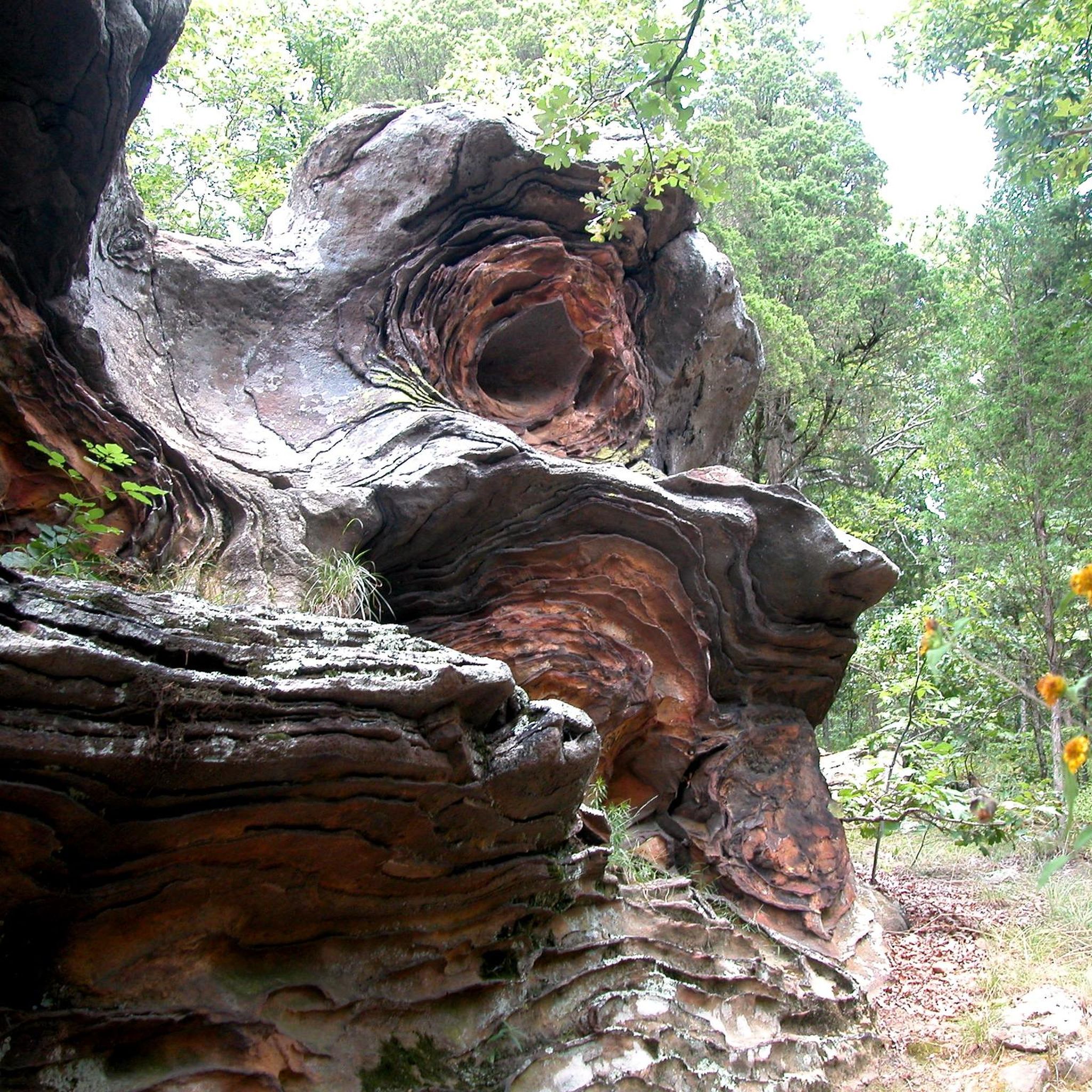
Yes, Shawnee National Forest is home to several notable natural monuments and landmarks. While cycling, you might be near areas like Giant City State Park or the famous Garden of the Gods Recreation Area. These sites offer unique geological formations and natural beauty.
What is the best time of year for road cycling in Shawnee National Forest?
The best time for road cycling in Shawnee National Forest is typically during the spring and fall months. The weather is generally milder, and the natural scenery is particularly vibrant with spring blooms or autumn foliage. Summer can be warm and humid, while winter may bring colder temperatures and potential for icy conditions, especially on less-traveled roads.
Where can I find parking for road cycling routes in Shawnee National Forest?
Parking for road cycling routes in Shawnee National Forest is often available at designated trailheads, state parks, or public access points. For routes starting near towns, you might find parking in municipal lots or near parks like Groves Park, which serves as a starting point for several popular loops.
Are there places to eat or get coffee near the road cycling routes?
While specific cafes are not directly on every route, many road cycling routes in Shawnee National Forest start or pass near towns like Cape Girardeau or Carbondale. These towns offer various options for cafes, restaurants, and convenience stores where you can refuel and refresh before or after your ride.
Can I find less crowded road cycling routes in Shawnee National Forest?
Shawnee National Forest offers a vast network of roads, and while some popular routes may see more traffic, it's possible to find quieter roads, especially during off-peak times or by exploring routes slightly off the main paths. The overall character of the forest often provides a sense of solitude amidst nature.
What do other road cyclists enjoy most about road cycling in Shawnee National Forest?
Road cyclists who have explored Shawnee National Forest often praise the region's diverse terrain, which includes rolling hills and scenic river valleys. The blend of dense woodlands and limestone bluffs provides a beautiful backdrop for rides, and the variety of routes caters to different skill levels, from moderate to more challenging.
Are there family-friendly road cycling routes in Shawnee National Forest?
While most routes are rated moderate, families with older children or those comfortable with some elevation changes can find suitable options. Look for routes with less traffic and gentler gradients. Always check the route details for distance and elevation to ensure it matches your family's comfort level.
What other attractions are worth exploring near the road cycling routes?
Beyond the cycling routes, Shawnee National Forest offers numerous attractions. You can visit Ferne Clyffe State Park for hiking, explore the historic Iron Furnace, or discover the unique settlement of Grand Tower. These spots provide a great way to extend your visit and experience more of the region's natural and historical heritage.
Most popular routes in Shawnee National Forest
Most popular attractions in Shawnee National Forest

Get inspired with the komoot mobile app


Explore more
Browse the best Road cycling routes in other regions.
