The best cycling routes around Dam Carlsfeld - Weiterswiese
4.6
(1354)
4,897
riders
110
rides
Touring cycling routes around Dam Carlsfeld - Weiterswiese are situated in the heart of the Ore Mountains, featuring Germany's highest drinking water reservoir at approximately 905 meters above sea level. The region is characterized by its significant water body formed by the Wilzsch River, extensive forests, and diverse terrain ranging from paved paths to more challenging routes with elevation changes. This area lies at the border between the Western Ore Mountains and Vogtland, offering varied landscapes influenced by both regions.
…Last updated: October 1, 2026
4.8
(5)
33
riders
Hard bike ride. Good fitness required. You may need to push your bike for some segments of this route.
5.0
(6)
28
riders
14.2km
01:01
190m
190m
Moderate bike ride. Good fitness required. Mostly paved surfaces. Suitable for all skill levels.

4.7
(3)
6
riders
Moderate bike ride. Good fitness required. Mostly paved surfaces. Suitable for all skill levels.
4.6
(25)
87
riders
Hard bike ride. Good fitness required. You may need to push your bike for some segments of this route.
5.0
(9)
32
riders
48.9km
03:15
670m
670m
Hard bike ride. Very good fitness required. Mostly paved surfaces. Suitable for all skill levels.
Get access to more routes and recommendations from other explorers.
Already have an account?
Our route recommendations are based on thousands of hikes, rides, and runs completed by other people on komoot.
Start today with a free account
Your next adventure awaits.
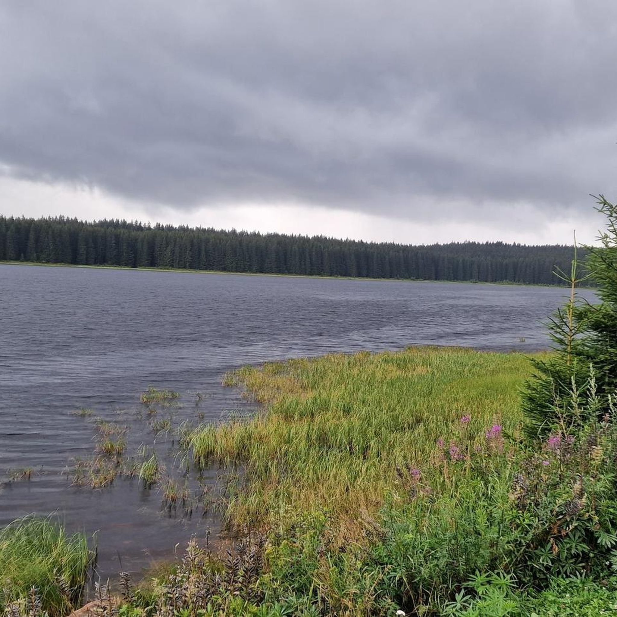
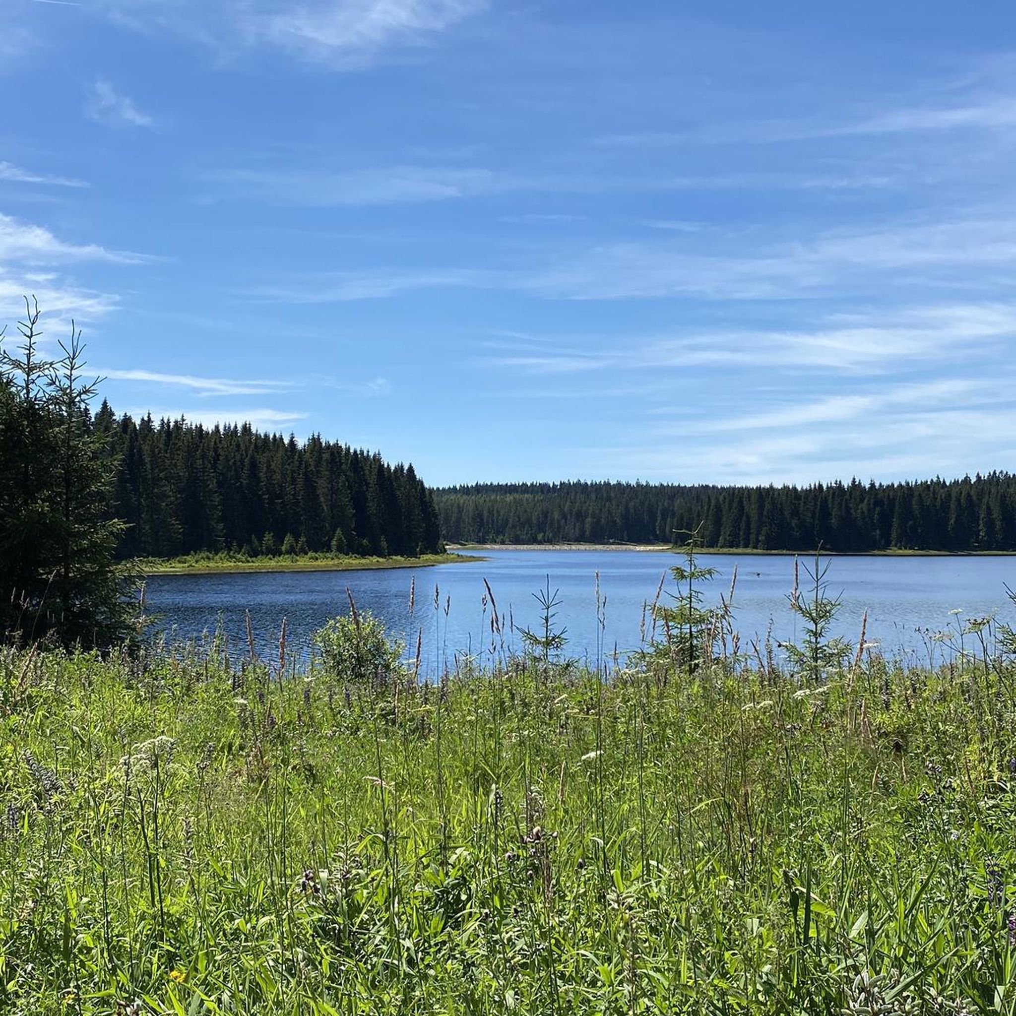
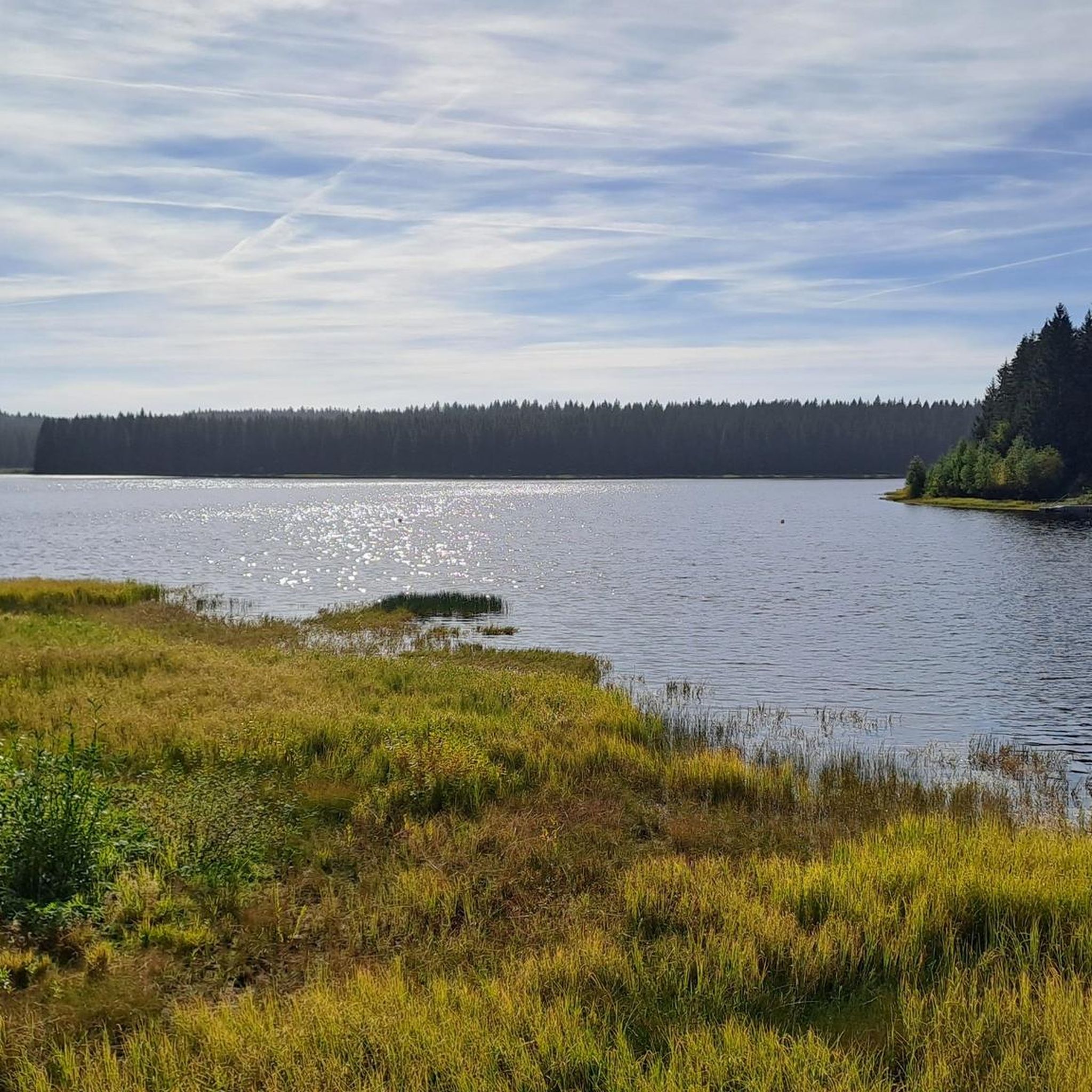
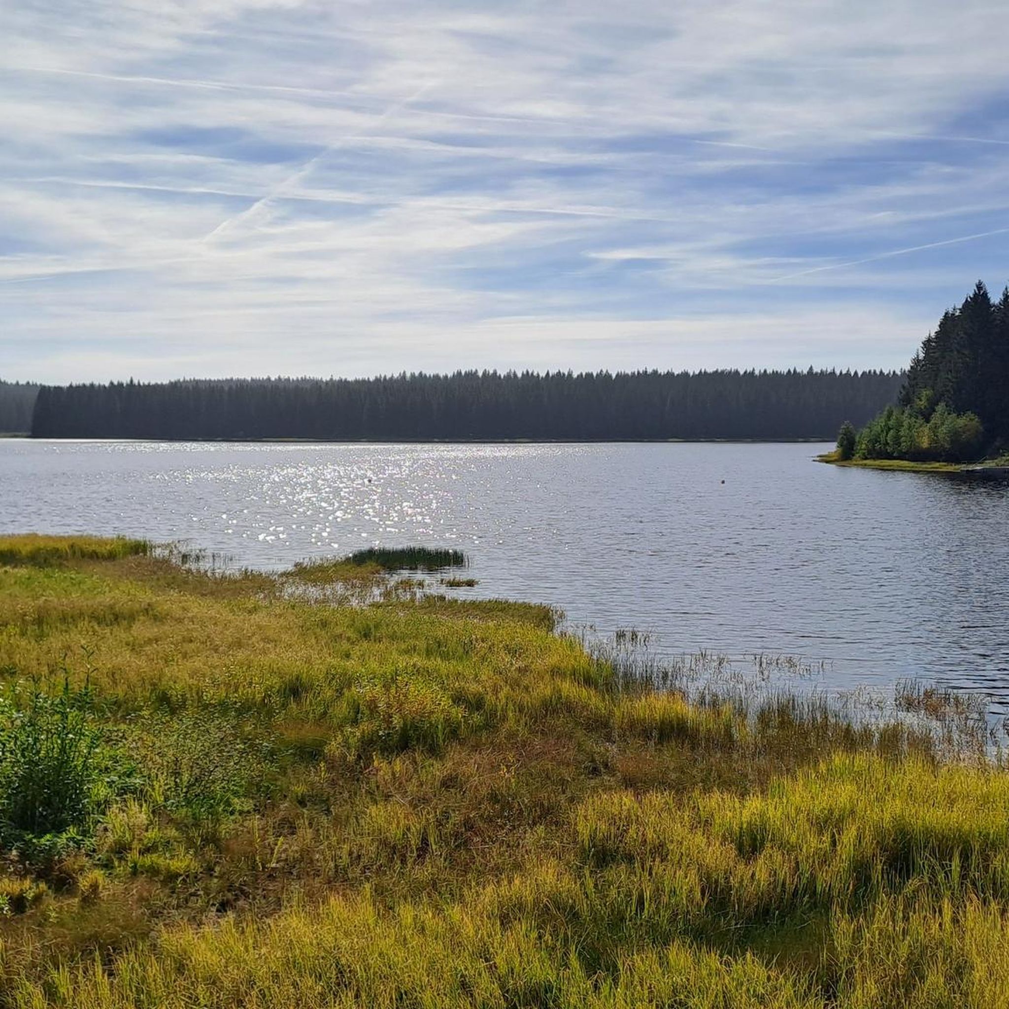

Tips from the Community


Border crossing from Carlsfeld - Weitersglashütte to Rolava and Přebuz (German Frühbuß). The "road" is still called Frühbusser Straße today and was certainly more important in the past than it is today.
0
0


Always happy, good food + Urquell on tap
0
0

Very good to eat something and drink a beer or something else very nice
0
0
Hello it was a very nice bike tour with friends
0
0
Frequently Asked Questions
How many touring cycling routes are available around Dam Carlsfeld - Weiterswiese?
The Dam Carlsfeld - Weiterswiese region offers a wide selection of touring cycling routes, with over 130 options available. These routes cater to various preferences, including 7 easy, 62 moderate, and 62 difficult trails.
What is the best time of year for touring cycling in the Dam Carlsfeld - Weiterswiese region?
The Dam Carlsfeld - Weiterswiese region, situated in the high-altitude Ore Mountains, is best enjoyed for touring cycling during the warmer months. While the dam wall can be crossed in any season, the diverse terrain and higher elevation mean that spring through autumn generally offer the most pleasant conditions for exploring the extensive network of paths.
What are the typical terrain and elevation changes like for touring cyclists in this area?
The terrain around Dam Carlsfeld - Weiterswiese is quite varied, reflecting its location at the border of the Western Ore Mountains and Vogtland. You'll find everything from predominantly paved paths suitable for leisurely rides to more challenging routes with loose surfaces and significant elevation changes. Given its position as Germany's highest drinking water reservoir at around 905 meters above sea level, expect some climbs and descents, especially on routes like View of Horní Blatná – View of Auersberg loop from Carlsfeld, which features over 830 meters of elevation gain.
Are there easy touring cycling routes suitable for beginners or casual riders?
Yes, there are easy touring cycling routes available. While many routes involve some elevation, you can find options with less demanding profiles. For instance, the region offers 7 easy routes, perfect for those looking for a more relaxed ride through the scenic landscapes.
Are there challenging touring cycling routes for experienced riders?
Absolutely. The Dam Carlsfeld - Weiterswiese area is well-suited for experienced touring cyclists seeking a challenge. With 62 difficult routes, you'll find trails that test your endurance and skill. A notable example is the View of Horní Blatná – View of Auersberg loop from Carlsfeld, a 32.8-mile path with significant elevation changes, offering expansive views of the mountainous terrain.
Can I find circular touring cycling routes around Dam Carlsfeld - Weiterswiese?
Yes, many touring cycling routes in the Dam Carlsfeld - Weiterswiese region are designed as loops, allowing you to start and finish at the same point. This is ideal for exploring without needing to arrange transport back. An example is the Forest Pond Rest Area – Border Snack Bar Celnice loop from Carlsfeld, which offers a varied ride through the border region.
Is there parking available for touring cyclists near the Dam Carlsfeld - Weiterswiese routes?
Yes, the region is generally well-equipped for visitors. You can typically find parking facilities in and around Carlsfeld, especially near popular starting points for cycling routes. It's advisable to check local signage for specific parking regulations and availability.
Are there public transport options to reach the touring cycling routes?
While the region is somewhat remote, public transport options exist, though they might require some planning. Local bus services connect Carlsfeld to larger towns in the Ore Mountains and Vogtland. It's recommended to check current schedules and bike transport policies with local public transport providers before your trip.
What natural features or landmarks can I see while cycling around Dam Carlsfeld - Weiterswiese?
The Dam Carlsfeld - Weiterswiese area is rich in natural beauty and unique landmarks. You can cycle past the impressive Carlsfeld Reservoir (Wilzsch Reservoir) itself, which is Germany's highest drinking water dam. Other points of interest include the View of Weitersglashütte Reservoir and historical Boundary Stones in Carlsfeld, which have been restored and feature informative displays about their history. The routes also offer panoramic views of the surrounding Ore Mountains and dense forests.
What do other touring cyclists enjoy most about the routes around Dam Carlsfeld - Weiterswiese?
The touring cycling routes around Dam Carlsfeld - Weiterswiese are highly rated by the komoot community, with an average score of 4.8 stars from over 1200 reviews. Cyclists frequently praise the stunning panoramic views, the serene natural environment of the Ore Mountains, and the diverse terrain that caters to various skill levels. The well-maintained infrastructure and the unique experience of cycling near Germany's highest drinking water reservoir are also often highlighted.
Are the touring cycling routes around Dam Carlsfeld - Weiterswiese suitable for families?
Yes, the region offers routes suitable for families, especially those with younger riders or who prefer a more relaxed pace. Look for the easier, predominantly paved paths. While some routes have significant elevation, there are options that allow families to enjoy the beautiful scenery without overly strenuous climbs. A moderate option like Großer Kranichsee – Imbiss Eisernes Tor loop from Carlsfeld could be a good choice for active families.
Can I bring my dog on the touring cycling routes?
Generally, dogs are welcome on many of the outdoor trails in the Dam Carlsfeld - Weiterswiese region, provided they are kept on a leash and you adhere to local regulations, especially concerning nature protection areas. Given the area's focus on drinking water protection, it's crucial to be mindful of your pet's impact on the environment. Always carry water for your dog and clean up after them.
Are there places to eat or drink along the touring cycling routes?
Yes, you'll find options for refreshments along and near the touring cycling routes. Carlsfeld itself has establishments, and some routes may pass by small snack bars or guesthouses. For example, the Großer Kranichsee – Imbiss Eisernes Tor loop from Carlsfeld mentions an 'Imbiss' (snack bar), indicating places to refuel. It's always a good idea to carry some snacks and water, especially on longer rides, as services might be spread out in this natural area.
Can I cycle across the dam wall itself?
Yes, a unique feature of the Dam Carlsfeld - Weiterswiese is that the top of the dam wall can be crossed by cyclists. This offers an impressive and memorable cycling experience with stunning views of the reservoir and the surrounding Ore Mountains, regardless of the season.
Are there any historical points of interest along the routes?
Beyond the natural beauty, the region offers historical insights. You can encounter renovated Boundary Stones in Carlsfeld along some routes, which come with information boards explaining their historical significance. Additionally, a small open-air exhibition near the dam provides details about its history and construction, adding a cultural dimension to your cycling tour.
Most popular routes around Dam Carlsfeld - Weiterswiese

Get inspired with the komoot mobile app


Explore more
Browse the best Cycling routes in other regions.
