The best walks and hikes around Dam Carlsfeld - Weiterswiese
4.6
(7611)
26,041
hikers
539
hikes
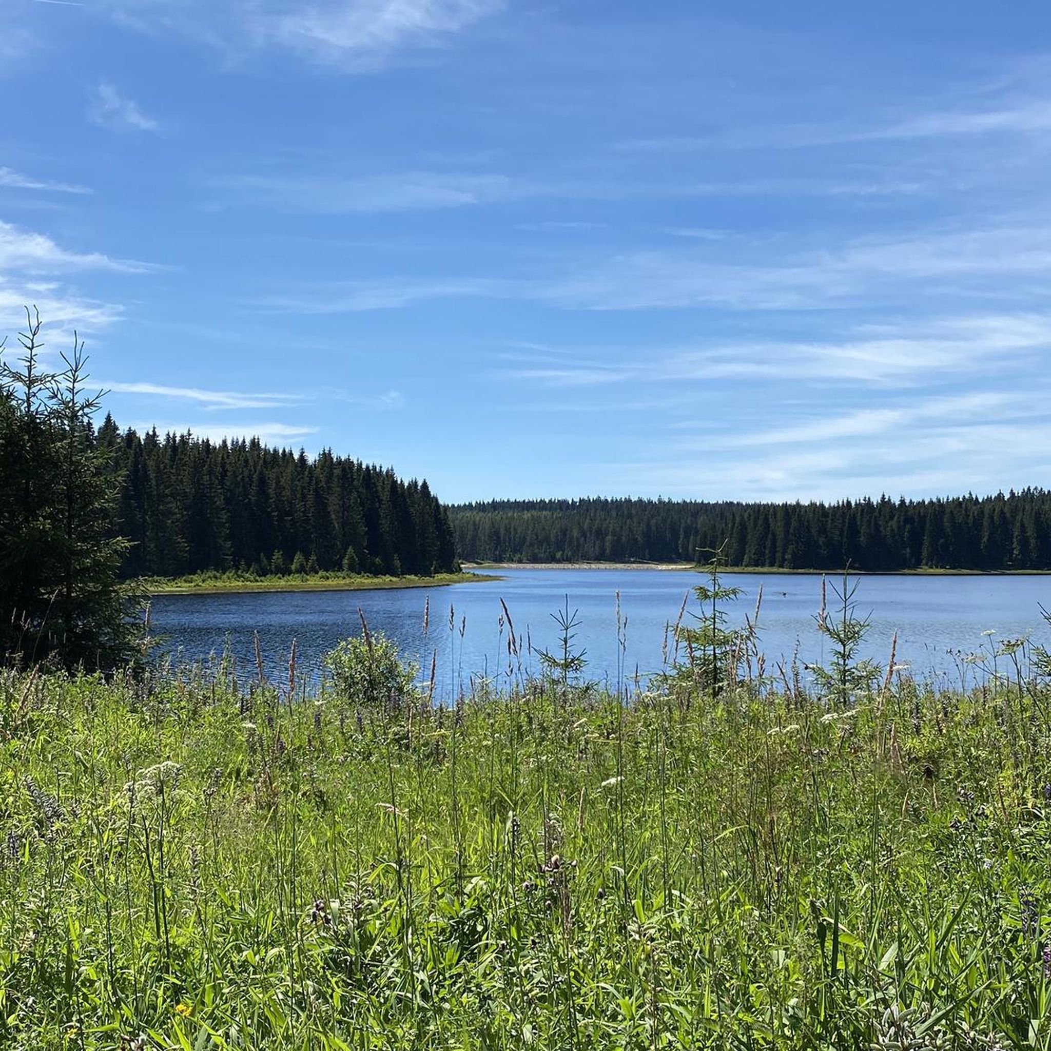
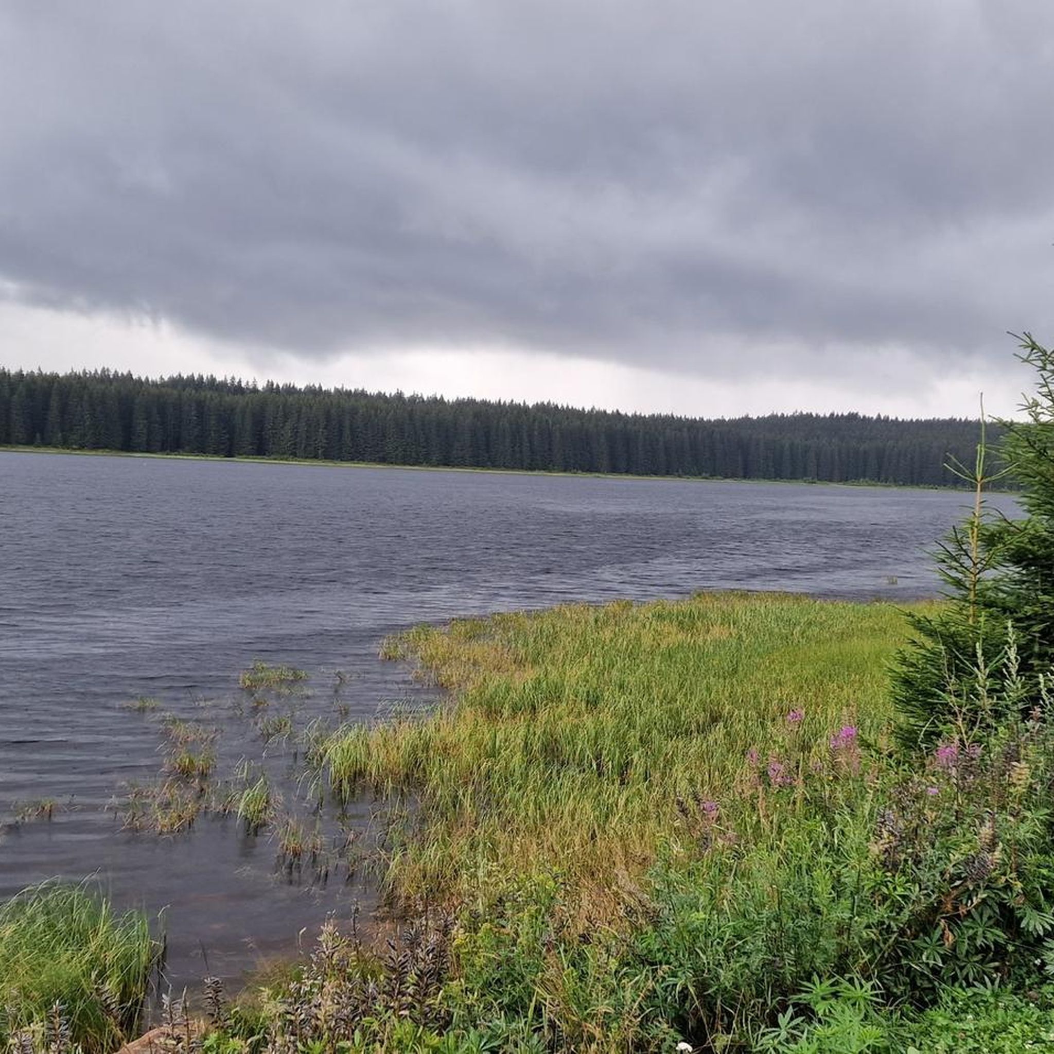
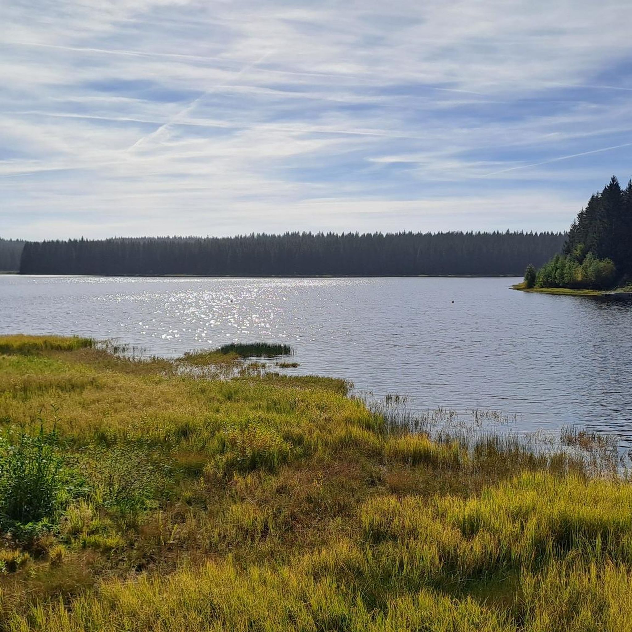
Hiking around Dam Carlsfeld - Weiterswiese offers trails in an elevated position within the Ore Mountains, featuring Germany's highest drinking water reservoir. The region is characterized by its expansive water body, surrounded by mountain meadows and dense forests. Hikers can explore a diverse natural environment, including areas that were historically known as "Weiterswiese," and enjoy clear views towards the Auersberg area. The dam's historic stone wall, a protected monument, is a central feature, alongside various viewpoints and traditional guesthouses.
Best hiking trails around Dam Carlsfeld - Weiterswiese
- The most popular hiking route is Breitenberg hiking car park – View of Carlsfeld loop from Carlsfeld, a 3.6 miles (5.7 km) trail that takes 1 hour 34 minutes to complete. This easy route offers views of Carlsfeld.
- Another top favourite among local hikers is Boundary Stones in Carlsfeld – Carlsfeld Reservoir (Wilzsch Reservoir) loop from Carlsfeld, an easy 1.0 mile (1.7 km) path. This shorter trail leads past historic boundary stones and offers views of the reservoir.
- Local hikers also love the Carlsfeld Reservoir (Wilzsch Reservoir) – Carlsfeld Dam loop from Carlsfeld, a 7.0 miles (11.3 km) trail leading through varied terrain around the reservoir, often completed in about 3 hours 1 minute.
- Hiking around Dam Carlsfeld - Weiterswiese is defined by its elevated position, the expansive reservoir, mountain meadows, and dense forests. The network offers options for various ability levels, from easy walks to more challenging routes.
- The routes in Dam Carlsfeld - Weiterswiese are highly rated by the komoot community with an average score of 4.7 stars from over 6,000 reviews. More than 22,000 hikers have used komoot to explore Dam Carlsfeld - Weiterswiese's varied terrain.
Last updated: June 28, 2026
5.0
(2)
7
hikers
Easy hike. Great for any fitness level. Easily-accessible paths. Suitable for all skill levels.
5.0
(2)
18
hikers
Easy hike. Great for any fitness level. Easily-accessible paths. Suitable for all skill levels.

Sign up for free
3.0
(1)
9
hikers
Easy hike. Great for any fitness level. Easily-accessible paths. Suitable for all skill levels.
6
hikers
Easy hike. Great for any fitness level. Easily-accessible paths. Suitable for all skill levels.
4.8
(200)
703
hikers
Moderate hike. Good fitness required. Easily-accessible paths. Suitable for all skill levels.
Get access to more routes and recommendations from other explorers.
Sign up for free
Already have an account?
Our route recommendations are based on thousands of hikes, rides, and runs completed by other people on komoot.
Start today with a free account
Your next adventure awaits.
Login or Signup

Tips from the Community


1870-71: Sandstone stele crowned by a cuirassier's helmet World War I and II: Sandstone monument crowned by a sleeping lion. Front: Two World War I name plaques Back: Four World War II name plaques Both monuments behind the church
0
0

It's simply impressive what this small town, also known as the 'cradle of the bandoneon,' is capable of. In the evenings, the sculpture is illuminated.
1
0

Good starting point for hikes from here.
0
0
1870-71: Sandstone stele crowned by a cuirassier's helmet World War I and II: Sandstone monument crowned by a sleeping lion. Obverse: Two World War I name plaques. Reverse: Four World War II name plaques.
0
0

Interesting art through uprooted and upturned trees.
0
0

Frequently Asked Questions
How many hiking trails are available around Dam Carlsfeld - Weiterswiese?
There are nearly 550 hiking trails around Dam Carlsfeld - Weiterswiese, offering a wide range of options for all skill levels. This includes over 190 easy routes, nearly 290 moderate trails, and almost 60 challenging hikes.
Are there any easy, family-friendly hikes around Dam Carlsfeld - Weiterswiese?
Yes, the region offers many easy trails suitable for families. A good option is the Boundary Stones in Carlsfeld – Carlsfeld Reservoir (Wilzsch Reservoir) loop from Carlsfeld, which is a short 1.7 km (1.0 mile) path leading past historic boundary stones and offering views of the reservoir. Another easy route is the Breitenberg hiking car park – View of Carlsfeld loop from Carlsfeld, a 5.7 km (3.6 mile) trail with views of Carlsfeld.
What are the best circular walks around Dam Carlsfeld - Weiterswiese?
Many trails in the area are circular, allowing you to start and end at the same point. A popular moderate circular route is the Carlsfeld Reservoir (Wilzsch Reservoir) – Carlsfeld Dam loop from Carlsfeld, which is 11.3 km (7.0 miles) and takes you through varied terrain around the reservoir. For a shorter, easy option, consider the Breitenberg hiking car park – Boundary Stones in Carlsfeld loop from Carlsfeld, covering 4.9 km (3.0 miles).
What can I see along the hiking trails around Dam Carlsfeld - Weiterswiese?
Hikers can enjoy diverse natural features and historical points of interest. The central attraction is the Carlsfeld Reservoir (Wilzsch Reservoir) itself, with its historic stone wall. You can also find historic Boundary Stones in Carlsfeld, and panoramic viewpoints like those overlooking Carlsfeld and the Auersberg area. The "Hirschkopf," Carlsfeld's local mountain, also offers unique views.
Are there any viewpoints or scenic spots along the trails?
Yes, the elevated position of the region provides numerous scenic viewpoints. Hikers can enjoy clear views of the surrounding landscapes, including the Auersberg area. The "Hirschkopf," Carlsfeld's local mountain, is known for its unique vistas. The dam's historic stone wall also offers a path to cross it, providing expansive views of the reservoir and its surroundings.
What do other hikers enjoy most about hiking in Dam Carlsfeld - Weiterswiese?
The area is highly rated by the komoot community, with an average score of 4.7 stars from over 6,000 reviews. Hikers often praise the diverse natural environment, including the expansive reservoir, picturesque mountain meadows, and dense forests. The variety of trails catering to different fitness levels and the clear views towards the Auersberg area are also frequently highlighted.
Are there any challenging hikes in the Dam Carlsfeld - Weiterswiese region?
Yes, for those seeking a more demanding experience, there are nearly 60 difficult trails. An example of a challenging route is the Rolavská Vrchoviště Meadows – View of Sauersack loop from Carlsfeld, which covers 19.9 km (12.4 miles) and involves significant elevation changes, offering a rewarding experience for experienced hikers.
Where can I find places to rest or eat along the hiking routes?
Along many routes, you'll find traditional gasthouses that offer opportunities for rest and refreshment. Notable options include "Zur Talsperre" and "Weidmannsheil" in Sachsengrund, which is known for its game specialties and a deer enclosure. There is also a shelter hut at the "Kruezel" crossroads, located at 943 meters altitude.
What is the best time of year to hike around Dam Carlsfeld - Weiterswiese?
The region offers hiking opportunities throughout the year. During warmer months, you can enjoy the expansive water body, mountain meadows, and dense forests. In winter, the paths around the dam are also suitable for skiers, hinting at a beautiful snowy landscape. The nickname "Saxon Siberia" suggests a rugged and potentially wild natural setting, making it appealing for those who enjoy a more robust outdoor experience.
Is Dam Carlsfeld - Weiterswiese suitable for winter hikes?
Yes, the area is suitable for winter hikes. The paths around the dam are versatile and can accommodate skiers during winter, indicating that they are maintained or naturally accessible for winter activities. The region's elevated position in the Ore Mountains and its nickname "Saxon Siberia" suggest a landscape that embraces winter conditions, offering a unique experience for cold-weather enthusiasts.
Are there any historical landmarks to explore in the area?
Beyond the natural beauty, the region holds historical significance. The dam's historic stone wall is a protected monument, and near the dam, an open-air exhibition showcases a real water gate and a cross-section model of the dam. You can also find historic Boundary Stones in Carlsfeld with informative displays detailing their symbols, offering a glimpse into the area's past.
Most popular routes around Dam Carlsfeld - Weiterswiese
Most popular attractions around Dam Carlsfeld - Weiterswiese

Get inspired with the komoot mobile app


Explore more
Browse the best Hikes in other regions.
