The best MTB trails around Dam Carlsfeld - Weiterswiese
4.7
(1098)
5,158
riders
105
rides
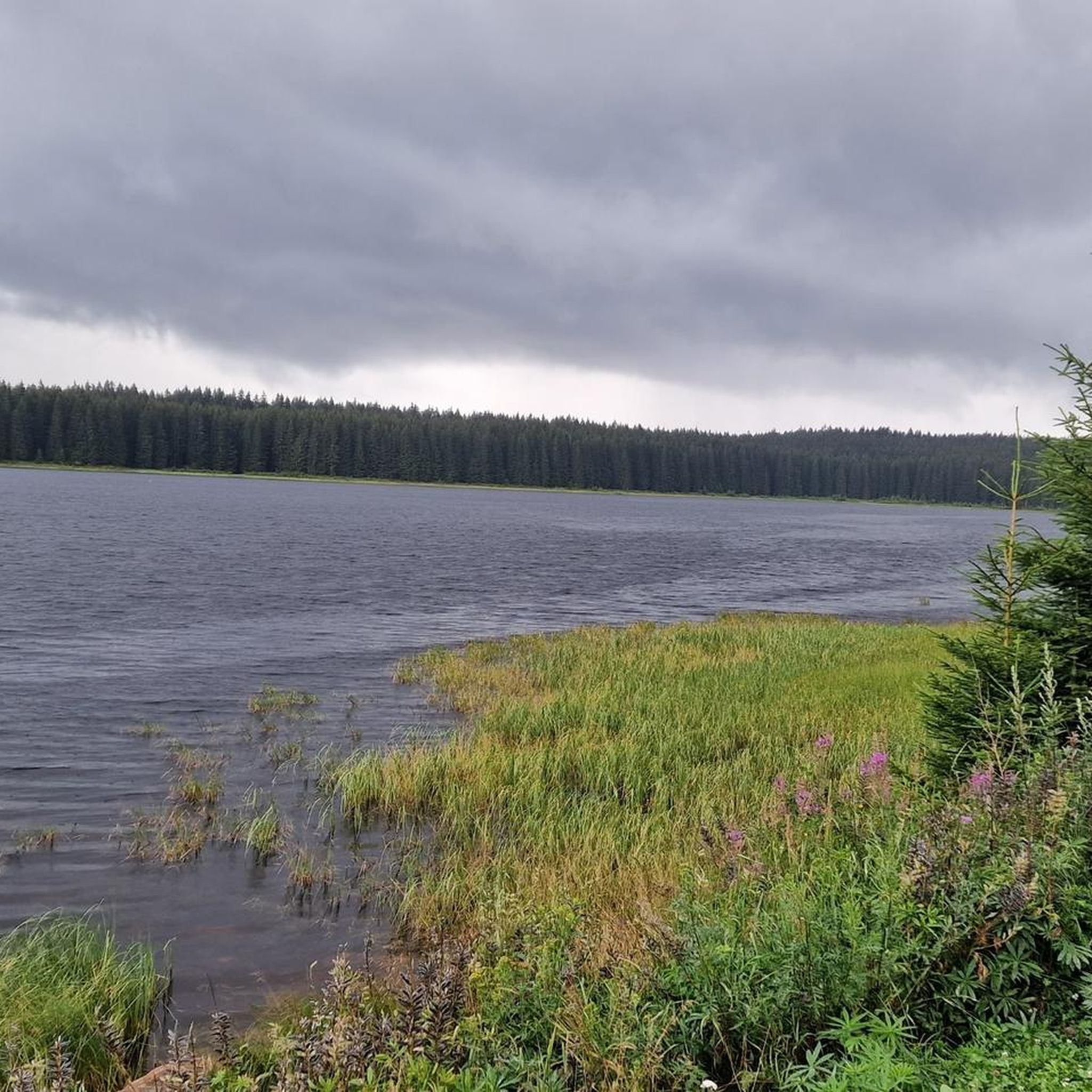
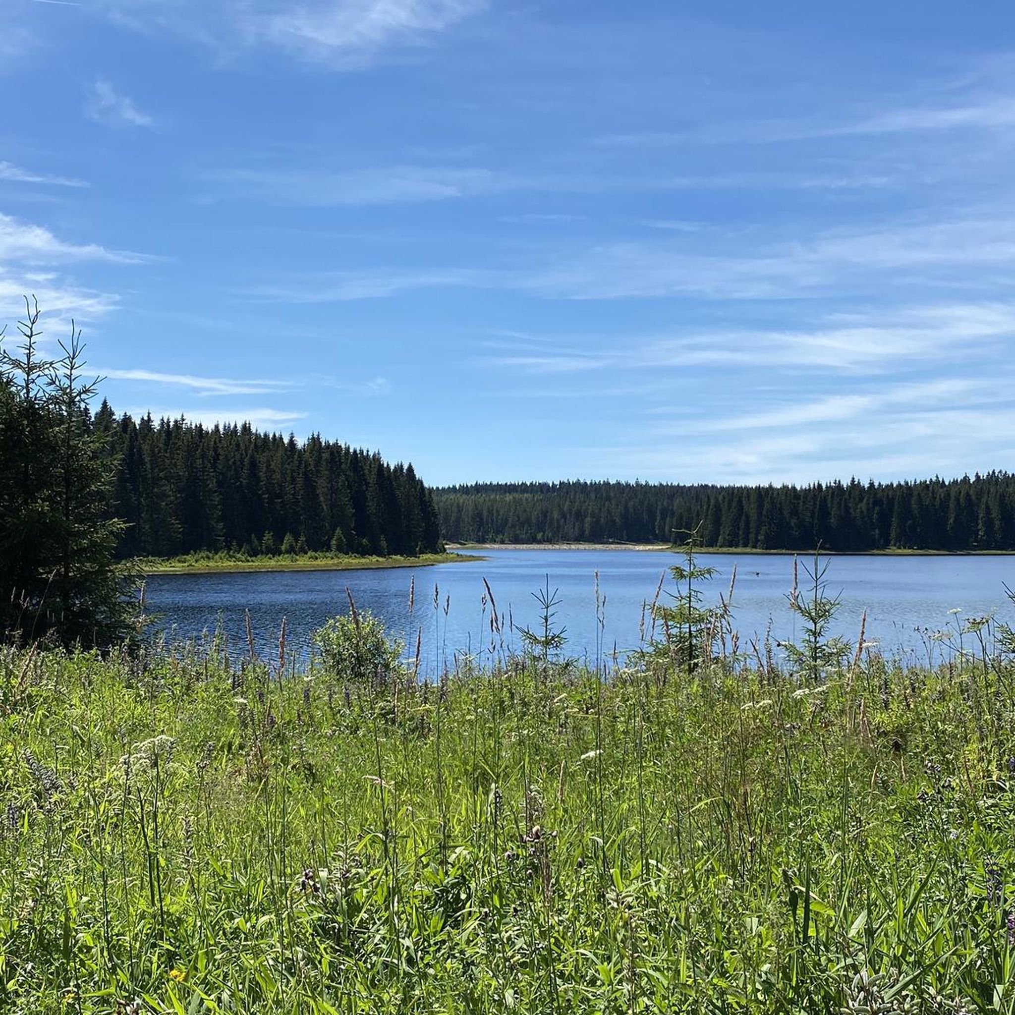
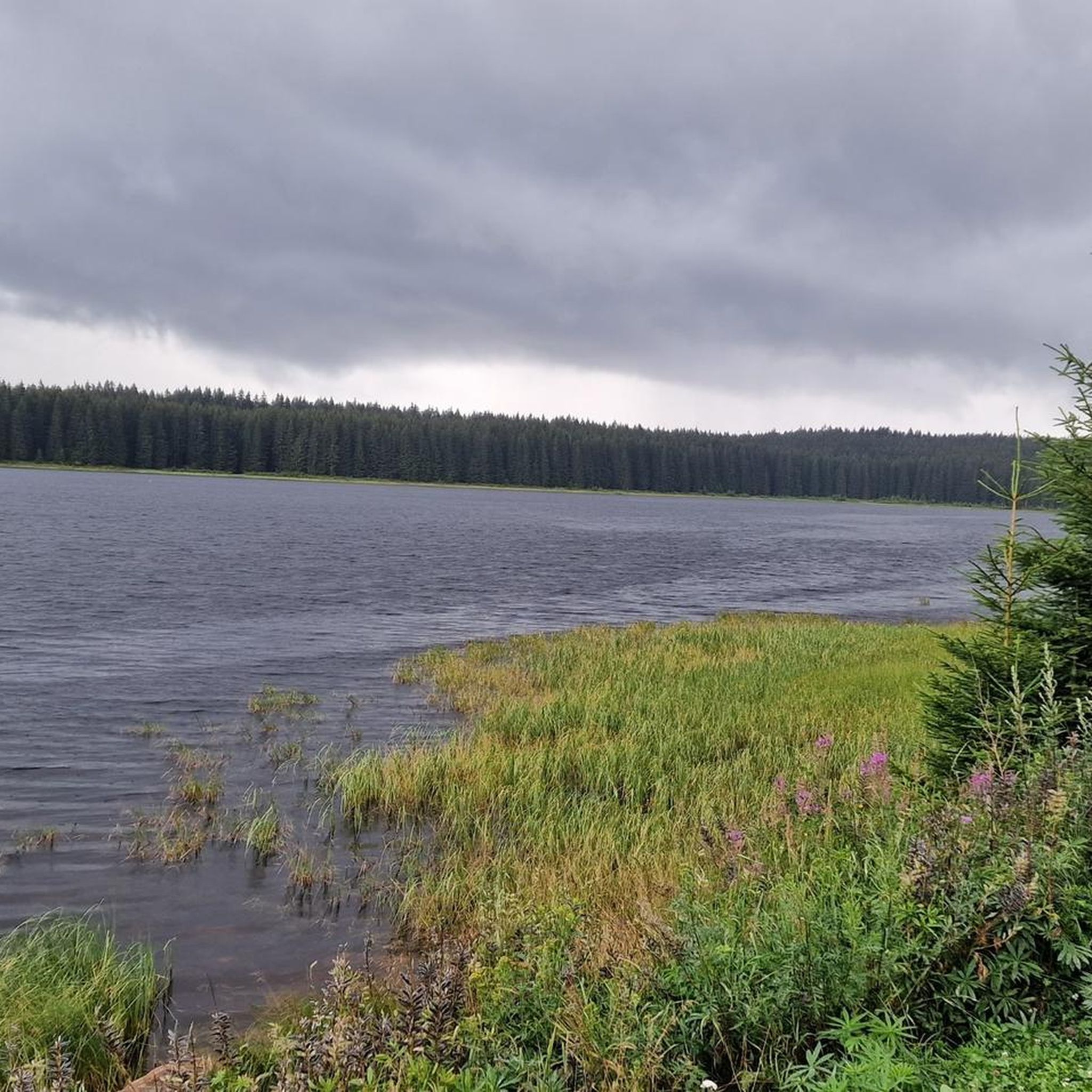
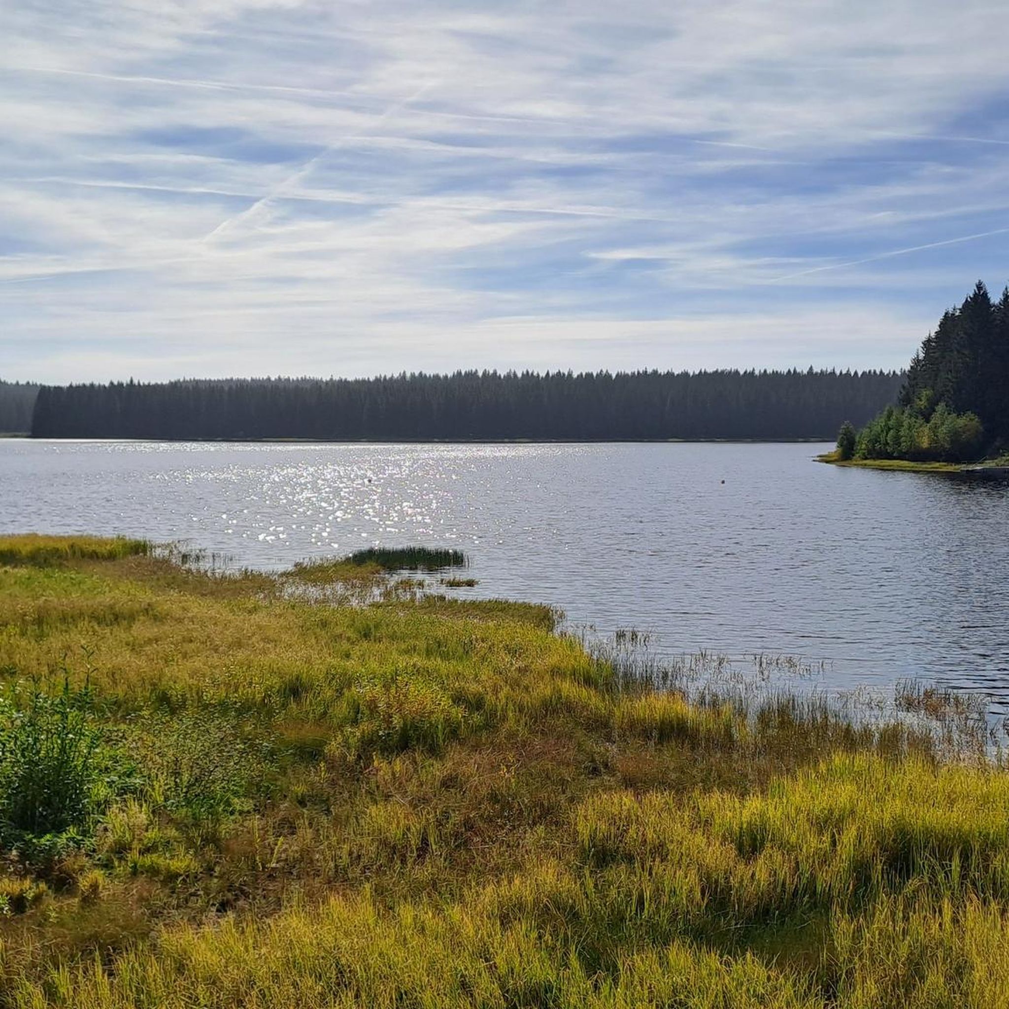
Mountain biking around Dam Carlsfeld - Weiterswiese offers routes through tranquil forests, expansive meadows, and along scenic water views in the western Ore Mountains. Situated at an elevation of approximately 905 meters above sea level, this region features diverse terrain from gentle hills and wide meadows to root-laden paths and broader forest roads. The area is characterized by dense woodlands and the clear water surface of Germany's highest drinking water dam. This varied landscape provides a range of mountain bike…
Last updated: October 1, 2026
4.9
(17)
70
riders
24.4km
01:38
310m
310m
Moderate mountain bike ride. Good fitness required. Suitable for all skill levels.
5.0
(4)
18
riders
75.4km
05:42
1,240m
1,240m
Hard mountain bike ride. Very good fitness required. Advanced riding skills necessary. Some portions of the route may require you to push your bike.

5.0
(6)
16
riders
44.2km
03:23
780m
780m
Moderate mountain bike ride. Good fitness required. Advanced riding skills necessary.
4.7
(3)
14
riders
25.3km
01:43
370m
370m
Moderate mountain bike ride. Good fitness required. Suitable for all skill levels.
4.0
(2)
13
riders
Moderate mountain bike ride. Good fitness required. Suitable for all skill levels.
Get access to more routes and recommendations from other explorers.
Already have an account?
Our route recommendations are based on thousands of hikes, rides, and runs completed by other people on komoot.
Start today with a free account
Your next adventure awaits.

Tips from the Community

Definitely worth seeing
1
0

The Pajndl lookout tower offers one of the most beautiful views of the vast surroundings. You can not only overlook the Ore Mountains, where you can see the highest mountain Klínovec, but also enjoy a magnificent view of the Ore Mountain Foreland, the Duppau Mountains, the Slavkov Forest, Karlovy Vary and other places. The tower is built of stone, and you can reach the viewing platform via a spiral staircase with 111 steps. The total height of the tower from the base to the tip of the lightning rod is 24 m. The lookout tower is accessible all year round.
0
0

The view and refreshments are provided.
0
0


It is fantastically beautiful here 😃.
0
1


Auersberg Viewpoint: Unobstructed views over the Western Ore Mountains and the dams. (Coin-operated telescope available.)
6
0
Viewpoint with coin-operated telescope: Unobstructed view over the Western Ore Mountains and the dams.
0
0
Frequently Asked Questions
How many mountain bike trails are available around Dam Carlsfeld - Weiterswiese?
There are over 115 mountain bike trails in the Dam Carlsfeld - Weiterswiese region. These routes cater to various skill levels, with 18 easy, 82 moderate, and 17 difficult options.
What kind of terrain can I expect on mountain bike trails in Dam Carlsfeld - Weiterswiese?
The region offers diverse terrain, from easy, paved paths to more challenging singletracks. You'll ride through tranquil forests, expansive meadows, and along stunning water views. Some advanced trails may require good physical condition and even necessitate pushing your bike in certain sections.
Are there any family-friendly mountain bike trails around Dam Carlsfeld - Weiterswiese?
Yes, there are several family-friendly options. For an easy ride, consider the Carlsfeld Dam – Carlsfeld Dam loop from Carlsfeld, which is about 9.4 km long and leads through the immediate vicinity of the dam. The 6.5 km long hiking trail around the dam is also suitable for cycling with children on appropriate bikes.
What are the best times of year for mountain biking in Dam Carlsfeld - Weiterswiese?
The spring, summer, and autumn months offer ideal conditions for mountain biking, with lush landscapes and pleasant temperatures. The region is known as 'Saxon Siberia' in winter, hinting at its often snow-covered landscape, which attracts winter sports enthusiasts, but makes mountain biking challenging or impossible.
Are there any circular mountain bike routes available?
Yes, many routes are designed as loops. A popular easy circular route is the Celnice Kiosk – Kranichsee Pond loop from Carlsfeld, covering 19.0 km. For a moderate challenge, try the Kranichsee Pond – Celnice Kiosk loop from Carlsfeld, which is 23.4 km long.
What natural features or landmarks can I see along the mountain bike trails?
You'll encounter stunning natural beauty, including tranquil forests, expansive meadows, and panoramic water views of the Dam Carlsfeld - Weiterswiese, which is Germany's highest-situated drinking water reservoir. The dam itself is a protected monument, and you can walk across its crest. Other notable sights include the Carlsfeld Reservoir (Wilzsch Reservoir) and the View of Weitersglashütte Reservoir.
Where can I park my car when visiting the mountain bike trails?
The region offers various parking options, particularly near the dam and trailheads in Carlsfeld. Specific parking areas are usually well-marked and provide convenient access to the trail network.
Are there any cafes or amenities near the mountain bike trails?
Yes, you'll find charming rest areas throughout the area, including a rustic log cabin. While specific cafes are not detailed, the village of Carlsfeld, being a starting point for many routes, offers amenities. It's always a good idea to check local listings for current operating hours.
What do other mountain bikers say about the trails in Dam Carlsfeld - Weiterswiese?
The mountain bike trails in Dam Carlsfeld - Weiterswiese are highly regarded by the komoot community, with an average rating of 4.7 stars from over 880 reviews. Riders often praise the diverse terrain, the tranquil forest paths, and the stunning water views that evoke a sense of wilderness.
Are there any longer, more challenging mountain bike routes for experienced riders?
Yes, for experienced riders seeking a longer challenge, the Muldenberg Dam – Schöneck Bike World loop from Carlsfeld is a moderate route spanning over 64 km with significant elevation changes, offering a more extended and demanding experience.
Can I bring my dog on the mountain bike trails?
Many trails in the Dam Carlsfeld - Weiterswiese region are suitable for dogs, especially those that pass through forests and open meadows. However, it's always recommended to keep dogs on a leash, particularly in nature protection areas or when encountering wildlife, and to respect local regulations regarding pets on trails.
Most popular routes around Dam Carlsfeld - Weiterswiese

Get inspired with the komoot mobile app


Explore more
Browse the best MTB trails in other regions.
