The best running trails in Golden Valley County
4
runners
7
runs
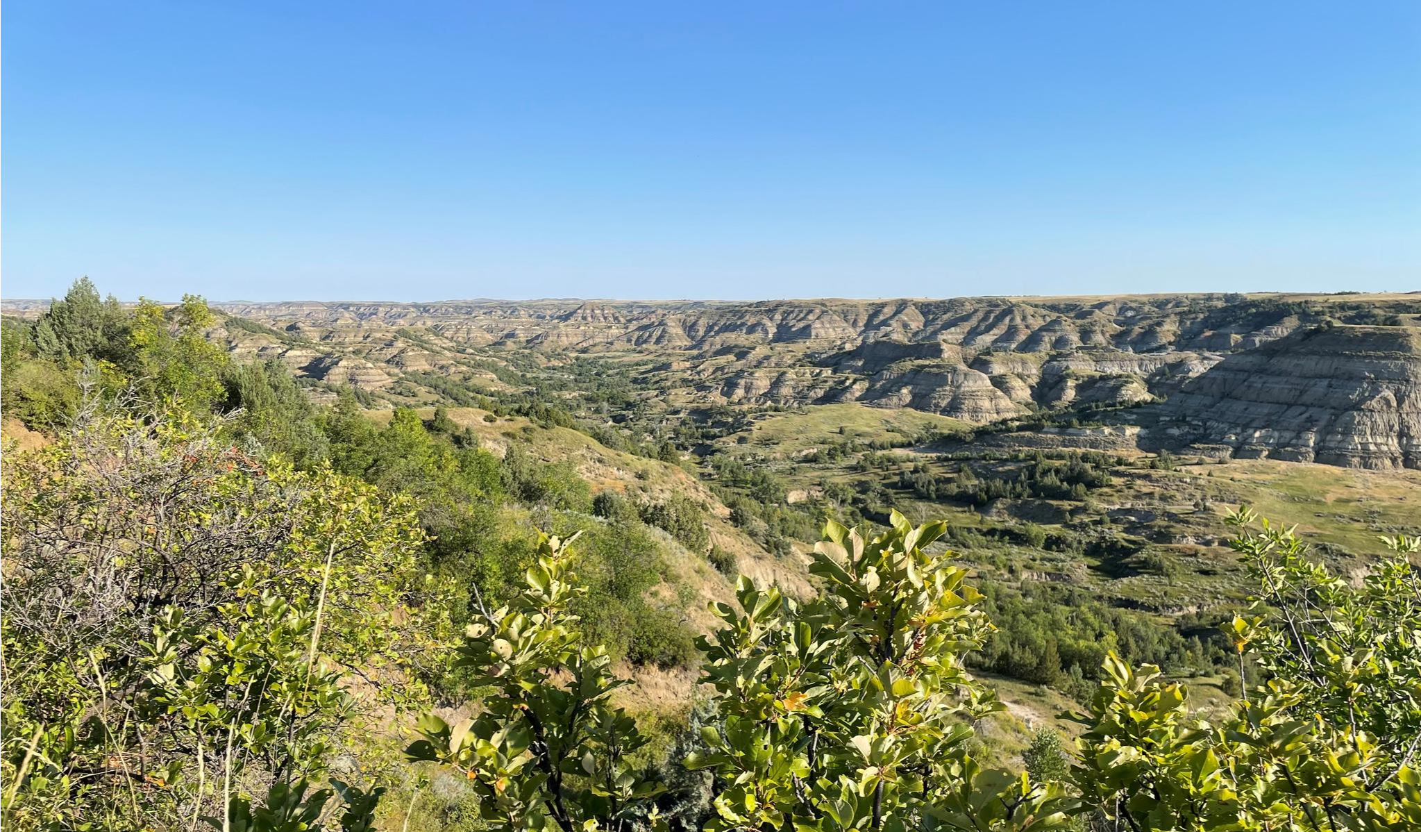
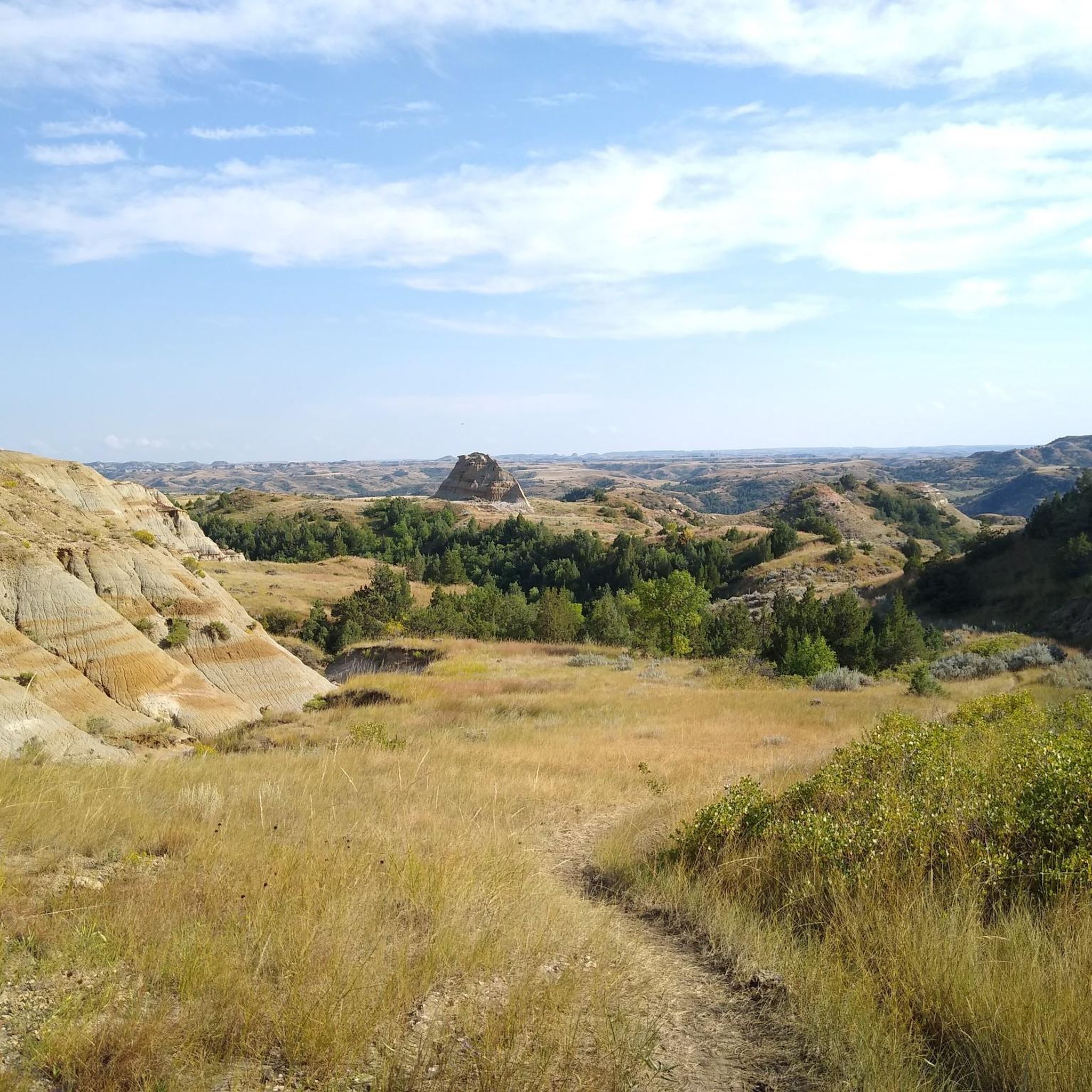
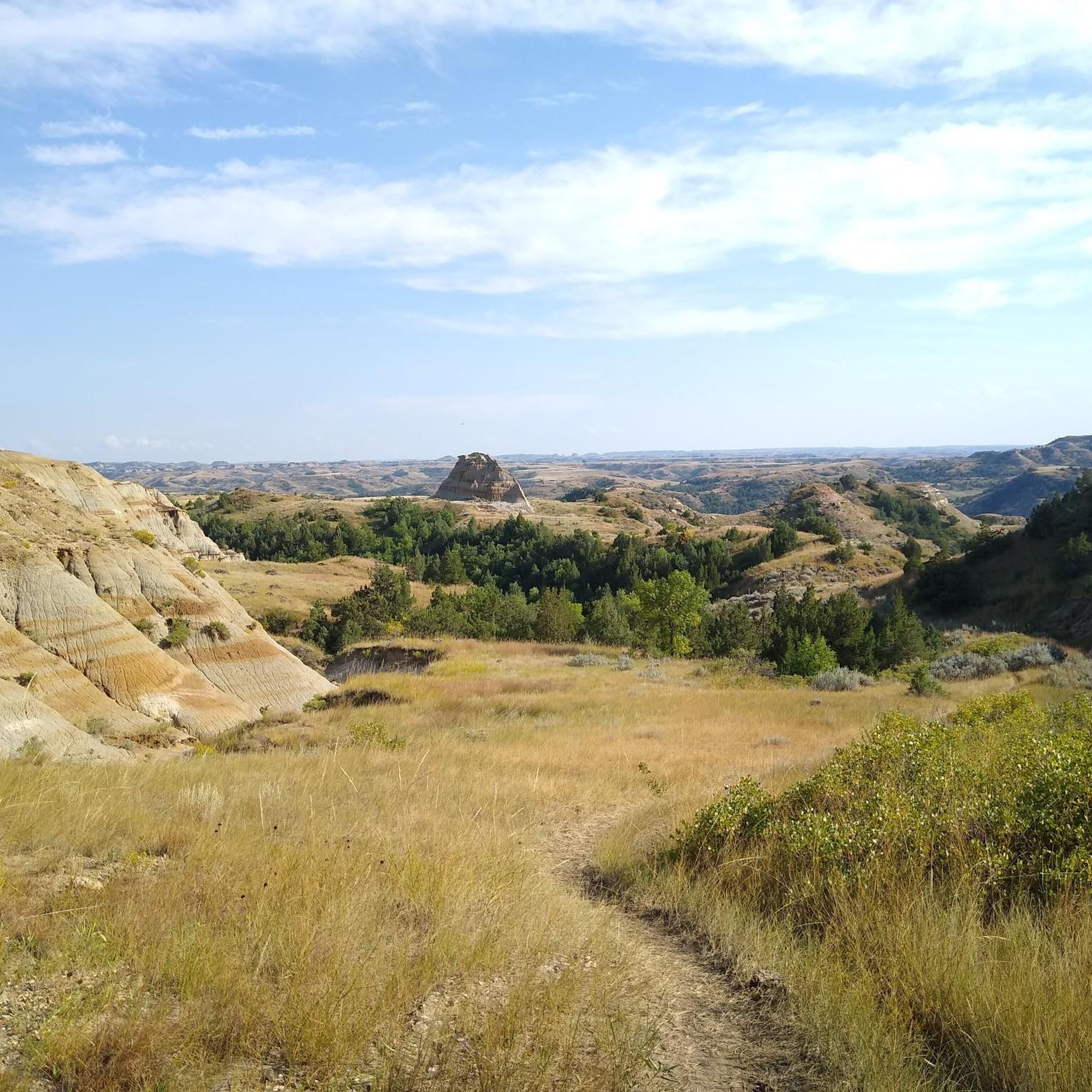
Jogging in Golden Valley County offers a unique experience through the rugged landscapes of western North Dakota. The region is characterized by badlands formations, open prairie, and river valleys, providing diverse terrain for runners. Much of the area is part of the scenic Theodore Roosevelt National Park, featuring natural scenery and geological formations. Trails often traverse varied elevations, from gentle park paths to more challenging routes with significant climbs.
Best jogging routes in Golden Valley County
- The most popular jogging route is Big Plateau and Ekblom Trail Loop, a 5.1 miles (8.3 km) trail that takes 53 minutes to complete, offering moderate elevation changes through the badlands.
- Another top favourite among local runners is Maah Daah Hey Trail, a difficult 11.4 miles (18.3 km) path. This section of the iconic trail features significant elevation gain and expansive views of the surrounding wilderness.
- Local runners also love the Petrified Forest Loop, a 10.3 miles (16.6 km) trail leading through unique petrified wood formations, often completed in about 1 hour 46 minutes.
- Jogging in Golden Valley County is defined by badlands formations, prairie landscapes, and river valleys. The network offers options for different ability levels, from easy park paths to challenging long-distance trails.
- The guide includes highly-rated routes that showcase the best of the region's landscape.
Last updated: June 25, 2026
2
runners
8.28km
00:53
130m
130m
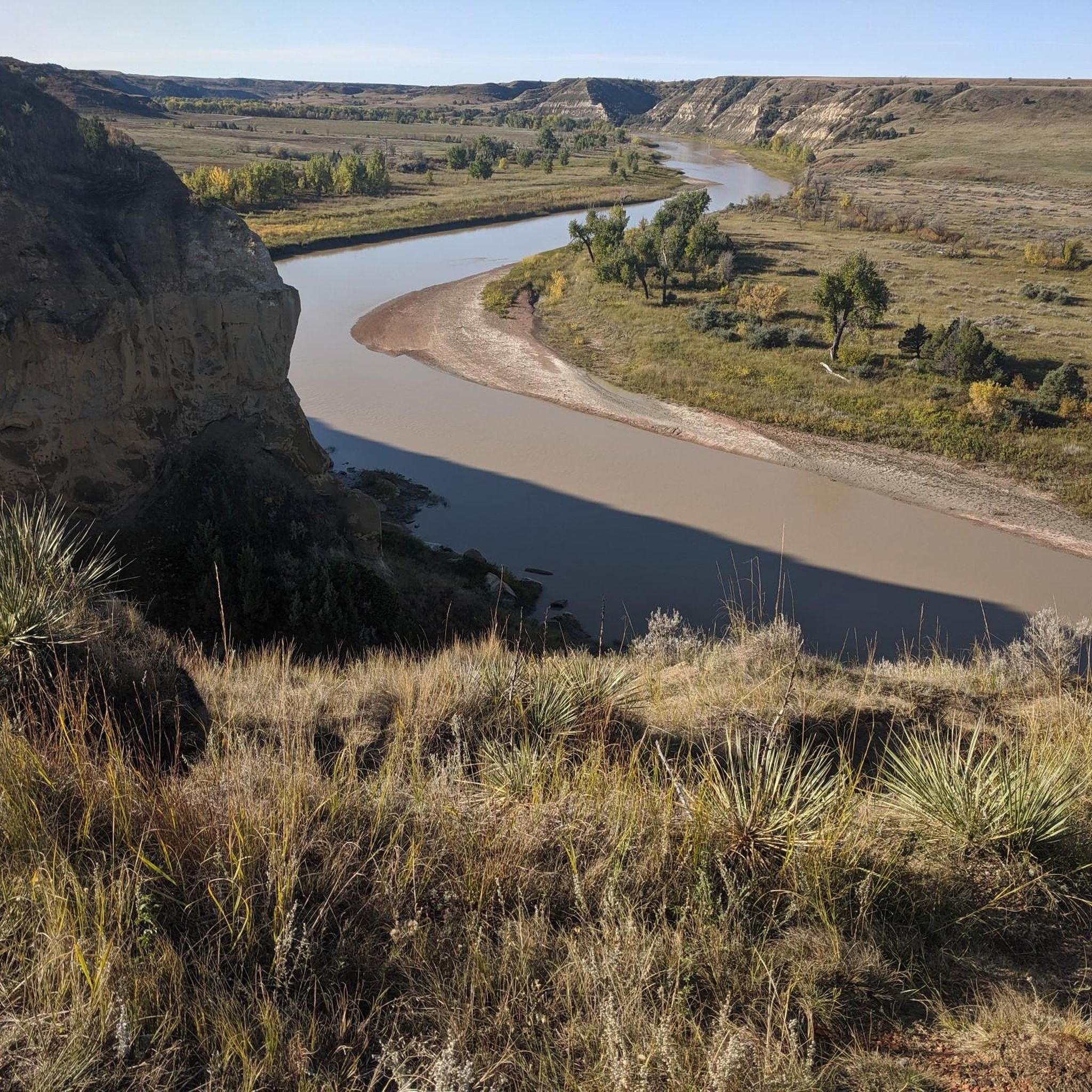
The Big Plateau and Ekblom Trail Loop offers a fantastic jogging experience through Theodore Roosevelt National Park's varied terrain. You'll move from lush forest sections to expansive grasslands, eventually reaching the Big Plateau for impressive 360-degree panoramic views of the badlands and the Little Missouri River. This 5.1-mile (8.3 km) route, with 415 feet (127 metres) of elevation gain, is rated moderate and takes about 53 minutes to jog, making it a rewarding challenge for those seeking dynamic scenery.
Planning your visit requires a bit of foresight, especially regarding the mandatory, bridgeless crossing of the Little Missouri River at the start and end of the loop. It's a good idea to check water levels at the visitor center before you go, as you might need to remove your shoes. Spring and fall are ideal for mild temperatures, but if you go in summer, be sure to carry plenty of water and sun protection due to the heat and lack of shade on the plateau.
Beyond the stunning vistas, this trail is a wildlife hotspot. Keep an eye out for bison, mule deer, coyotes, and feral horses, especially when passing through the large prairie dog town. Remember to maintain a safe distance from bison. The route also briefly connects with a section of the famous 144-mile Maah Daah Hey Trail, adding another layer of interest to this already diverse loop.
1
runners
4.82km
00:30
10m
10m
The Chimney Park Path offers a delightful, easy jogging experience on a smooth, paved surface, perfect for a quick escape into nature. As you follow the 3.0-mile (4.8 km) route, you'll pass by unique geological formations and the historic chimney from the Marquis de Mores's meat packing plant, blending natural beauty with a touch of local history. With only 49 feet (15 metres) of elevation gain, this trail is genuinely accessible for all, taking approximately 29 minutes to complete.
Located on the west edge of Medora, the trail is easily accessible and the surrounding Chimney Park area is a great spot for a picnic. Dogs are welcome to join you on your jog, provided they are kept on a leash and you clean up after them. There are no permits or fees required, making it a hassle-free option for a spontaneous outing.
This multi-use path stands out as a distinctly easy, paved option in western North Dakota, contrasting with more strenuous trails found elsewhere. Its minimal difficulty and scenic views make it an ideal choice for families, beginners, or anyone looking for a relaxing outdoor activity near Medora. It's a great way to enjoy the region's unique landscape and history without a demanding trek.

Sign up for free
1
runners
18.3km
01:57
240m
240m
The Maah Daah Hey Trail offers an immersive jogging experience through the dramatic North Dakota Badlands, where you'll navigate a mix of singletrack, dirt paths, and rocky sections. Imagine running past majestic plateaus and jagged peaks, with expansive rolling prairies stretching out before you, occasionally catching glimpses of the Little Missouri River valley. This difficult 11.4-mile (18.3 km) route, with its 788 feet (240 metres) of elevation gain, is a true backcountry adventure that takes about 1 hours and 56 minutes to complete.
Planning your visit requires a focus on self-sufficiency due to the trail's remoteness, limited cell service, and sparse water sources. While there's no specific mention of permits for jogging this section, always be prepared for the challenging terrain, especially after rain when the bentonite clay can become very sticky. The trail is marked by distinctive wooden posts featuring a turtle symbol, guiding you through the wilderness.
This segment is part of the much larger 144-mile Maah Daah Hey Trail, designated as "EPIC" by the IMBA, reflecting its quality for multi-use activities like jogging. The trail follows ancient routes used by Native Americans, and its name means "Maah Daah Hey" means "an area that will be around for a long time" in the Mandan language. Keep an eye out for wildlife such as bison, elk, and bighorn sheep, which are common sightings in this unique "Serengeti of the Great Plains".
2.74km
00:20
110m
110m
The Pancratz Trail offers a truly unique jogging experience in Medora, North Dakota, winding through prairies dotted with wildflowers and sagebrush. You'll navigate varied terrain, including sections with ladders and stairs, as you ascend a butte, all while being treated to stunning panoramic views of the colorful Badlands. It's a compact yet comprehensive way to experience the region's natural beauty.
This moderate 1.7-mile (2.7 km) route involves a significant 349 feet (106 metres) of elevation gain, making it a rewarding workout that takes approximately 19 minutes to complete. While specific Pancratz Trail parking in Medora isn't detailed, the trail is well-known locally, and dogs are welcome to join you on your run.
What sets this trail apart is its ascent to Schafer Point, a historically significant location offering distinct perspectives of the Badlands. The combination of challenging terrain, including its unique ladders and stairs, and the rewarding overlooks makes it the top running route in the Medora area for those seeking an active outdoor experience.
9.47km
01:01
150m
150m
The Buffalo Gap Trail Loop offers a fantastic jogging experience through the rolling grasslands and dramatic badlands scenery of Western North Dakota. As you navigate the singletrack path, you'll be treated to expansive views of buttes and valleys, with wildflowers in spring and vibrant fall colors. Keep an eye out for local wildlife like antelope and deer, adding to the natural charm of this moderate route.
This 5.9-mile (9.5 km) loop, with its 486 feet (148 metres) of elevation gain, is typically completed in about 1 hour, making it a great option for a focused workout or a scenic jog. The trailhead provides easy access, and the trail itself serves as a convenient bypass around the South Unit of Theodore Roosevelt National Park. Be prepared for some sections with a rougher stone surface and a potential low-water crossing at Knutson Creek.
Notably, the Buffalo Gap Trail is a favored spot for trail runners and hikers, and it also connects to the extensive Maah Daah Hey Trail. Its function as a bypass allows users, including cyclists who aren't permitted inside the national park, to explore the region's unique terrain. This makes it a versatile and popular choice for experiencing the natural features of the area.
16.6km
01:46
210m
210m
Embark on the Petrified Forest Loop, a difficult jogging route spanning 10.3 miles (16.6 km) through Theodore Roosevelt National Park. You will experience varied terrain, from expansive prairies to dramatic badlands, gaining 674 feet (205 metres) of elevation. The route, which takes about 1 hour and 46 minutes to complete, offers sweeping views of the Little Missouri River and impressive petrified wood deposits.
When planning your visit, be aware that the trail offers almost no shade and no reliable water sources. It is crucial to bring ample hydration and sun protection, especially during warmer months. The North Petrified Forest Trail segment includes a strenuous 300-foot descent followed by an immediate 300-foot ascent; prepare for potentially slick and muddy conditions if there has been recent rain.
This loop is notable for its high concentration of petrified wood, among the highest in the United States, offering a unique geological experience. As you jog through the diverse landscapes, keep an eye out for local wildlife, including bison, wild horses, and pronghorn, which frequently roam the area.
Our route recommendations are based on thousands of hikes, rides, and runs completed by other people on komoot.
Start today with a free account
Your next adventure awaits.
Login or Signup
Other adventures in Golden Valley County

Tips from the Community

This is the southern section of the Petrified Forest Trail Loop. Take a right from the trailhead at the junction. The trail winds nicely from the access trail to the Maah Dash Hey Trail. The Maah Daah Hey Trail connects the northern and southern sections of the Petrified Forest Loop Trail.
0
0

Buffalo Gap Trail is a 19-mile trail that runs through the hills and grasslands of Theodore Roosevelt National Park. It was developed as a mountain bike trail, but is popular with trail runners and hikers as well.
0
0
The Ekblom Trail connects the Maah Daah Hey Trail to the Big Plateau Trail. It is a great way to extend your run and join two popular routes. There is a stream crossing, so you should get information about the water level at the visitor's center.
0
0
Most of the Big Plateau Trail runs over (surprise!) a big plateau with grasslands. This means little elevation changes on most of the trail. The only elevation changes are at the start and the end of the trail, going up and down the canyons. It's never a certainty, but the big plateau is known for big herds of bison hanging out. A river crossing is mandatory to make it out to both Big Plateau and Lone Tree Spring Loop Trail. Check-in with the visitor center about water depth and safety measures.
0
0
The Pancratz Trail is a short loop path that takes you up a butte for a beautiful view onto the town of Medora and the North Dakota Badlands. There is a bench at the viewing point, so it is a great place for a break to take in the wonderful vistas.
0
0
Sully Creek State Park is located in the heart of the North Dakota Badlands and on the banks of the Little Missouri River. The park is a popular spot for running and hiking, as well as biking, picnicking and canoeing on the river.
0
0
Maah Daah Hey Trail is a 144-mile trail that runs through some of the most breathtaking scenery in North Dakota. The section after Medora is a particularly beautiful part, going through the North Dakota Badlands with views onto Theodore Roosevelt National Park.
0
0
Great, quiet path out of Medora. It is 2 miles long. It is a wonderful path to get away from the cars on the road and still enjoy the views of the nearby national park.
0
0
Frequently Asked Questions
How many running routes can I explore in Golden Valley County?
There are 6 distinct running routes available in Golden Valley County, offering a range of experiences from easy park paths to challenging long-distance trails through the badlands.
Are there any easy jogging paths suitable for beginners in Golden Valley County?
Yes, for those looking for an easier run, the Chimney Park Path is an excellent option. It's an easy 3-mile (4.8 km) route, perfect for a relaxed jog.
What are some challenging running trails for experienced runners in the area?
Experienced runners can tackle the Maah Daah Hey Trail, a difficult 11.4-mile (18.3 km) path with significant elevation gain and expansive views. Another challenging option is the Petrified Forest Loop, which is 10.3 miles (16.6 km) and leads through unique geological formations.
Are there any circular running routes in Golden Valley County?
Yes, several routes offer a circular experience. The Big Plateau and Ekblom Trail Loop is a popular 5.1-mile (8.3 km) moderate loop through the badlands. Another great option is the Buffalo Gap Trail Loop, a moderate 5.9-mile (9.5 km) route.
What kind of scenery can I expect on the jogging routes in Golden Valley County?
Jogging in Golden Valley County, particularly within Theodore Roosevelt National Park, offers stunning views of badlands formations, open prairie, and river valleys. You'll encounter unique geological features like the petrified wood formations on the Petrified Forest Loop.
Are the running trails in Golden Valley County suitable for families?
While many trails offer rugged terrain, easier paths like the Chimney Park Path are generally suitable for families looking for a less strenuous outdoor activity. Always check the route's difficulty and length to ensure it matches your family's capabilities.
Can I bring my dog on the jogging trails in Golden Valley County?
Within Theodore Roosevelt National Park, pets are generally permitted on paved roads, in campgrounds, and in picnic areas, but not on backcountry trails or in park buildings. It's always best to check the specific regulations for each trail or park section before heading out with your dog.
Are there any long-distance running options for endurance training?
Absolutely. The Maah Daah Hey Trail offers a significant 11.4-mile (18.3 km) section within the area, and the Petrified Forest Loop is a substantial 10.3-mile (16.6 km) route, both ideal for longer runs.
When is the best time of year to go jogging in Golden Valley County?
Spring and fall generally offer the most pleasant temperatures for jogging in Golden Valley County, avoiding the extreme heat of summer and the harsh cold of winter. Spring also brings the possibility of wildflowers in some areas, while fall showcases beautiful autumn colors.
Are there any hidden gem running routes in Golden Valley County?
While the guide highlights popular routes, exploring lesser-known sections of the badlands or local park trails can reveal unique experiences. The Pancratz Trail, a moderate 1.7-mile (2.7 km) route, offers a focused experience with notable elevation changes.
What facilities, like parking or cafes, are available near the running routes?
Many of the running routes, especially those within Theodore Roosevelt National Park, will have designated parking areas. For cafes or other amenities, you would typically find these in nearby towns or visitor centers. It's advisable to plan your route and check for facilities in advance.
Most popular routes in Golden Valley County

Get inspired with the komoot mobile app


Explore more
Browse the best Running Trails & Routes in other regions.
