The best walks and hikes in Golden Valley County
4.0
(1)
58
hikers
13
hikes
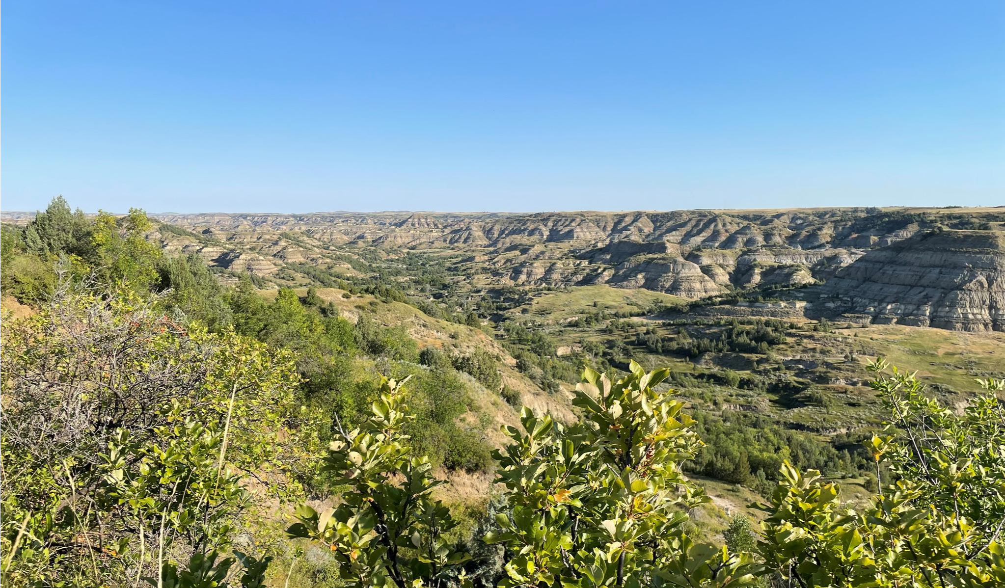
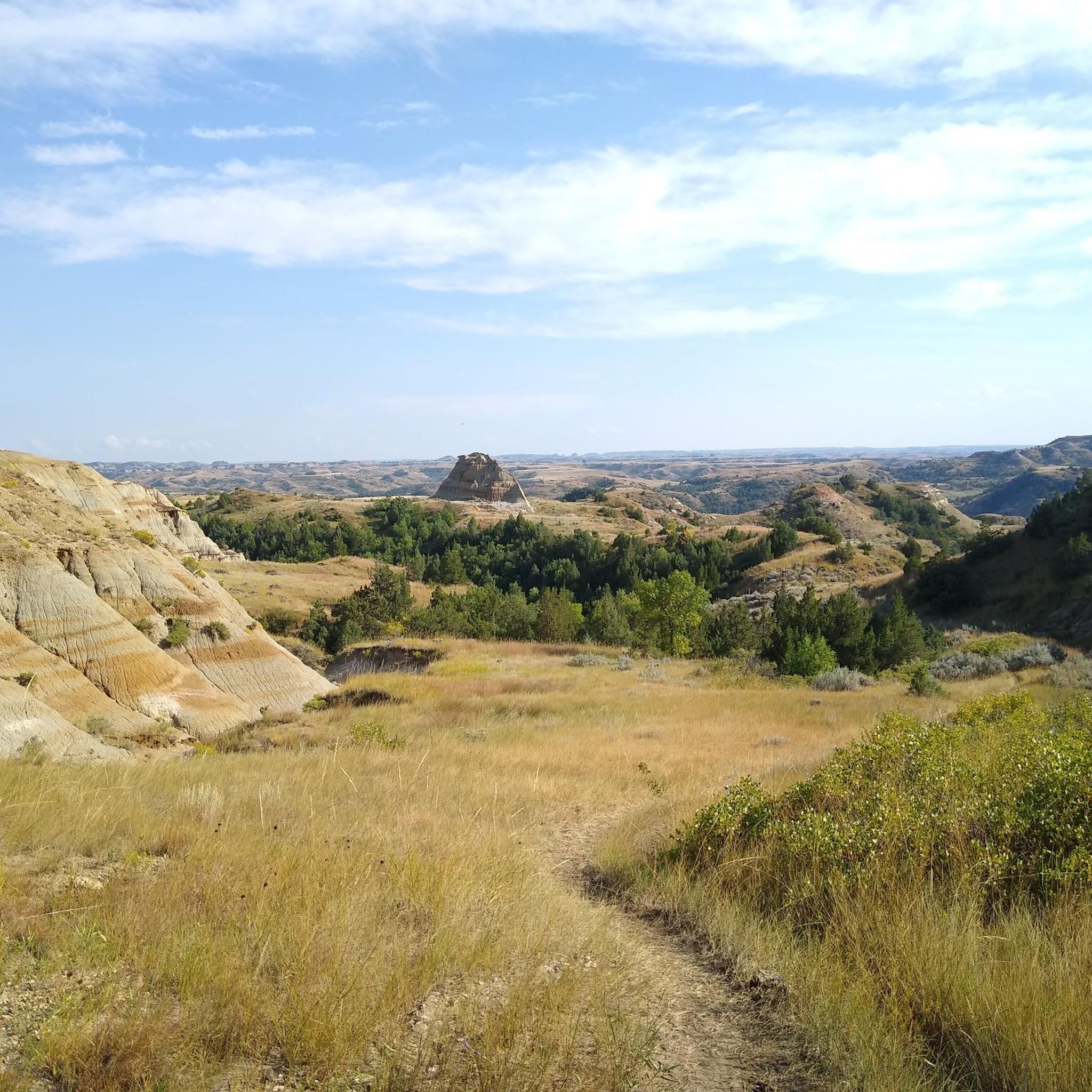
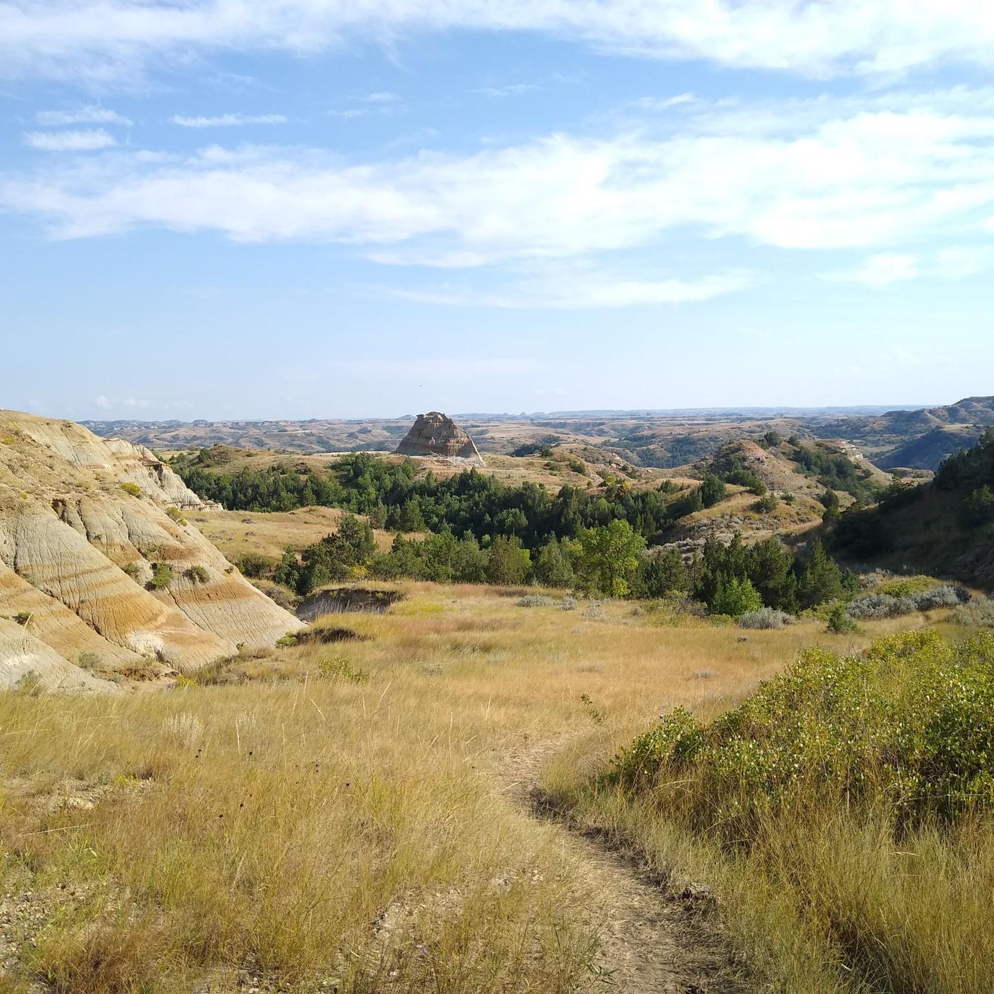
Hiking in Golden Valley County, North Dakota, features a landscape characterized by rolling prairie, agricultural lands, and the Musselshell River system. The region includes areas of badlands terrain, particularly within Theodore Roosevelt National Park, and the Little Snowy Mountains distinguished by ponderosa pine trees. Hikers can explore trails through varied topography, from river valleys to elevated plateaus.
Best hiking trails in Golden Valley County
- The most popular hiking route is Petrified Forest Loop Trail via Maah Daah Hey Trail —…
Last updated: July 9, 2026
2.79km
00:42
10m
10m
Easy hike. Great for any fitness level. Easily-accessible paths. Suitable for all skill levels.
4.12km
01:07
70m
60m
Easy hike. Great for any fitness level. Easily-accessible paths. Suitable for all skill levels.

Sign up for free
13
hikers
16.6km
04:27
200m
200m
Moderate hike. Good fitness required. Easily-accessible paths. Suitable for all skill levels.
3
hikers
2.74km
00:51
110m
110m
Easy hike. Great for any fitness level. Easily-accessible paths. Suitable for all skill levels.
1
hikers
18.3km
04:56
240m
240m
Moderate hike. Good fitness required. Easily-accessible paths. Suitable for all skill levels.
27.3km
07:14
270m
270m
Hard hike. Very good fitness required. Easily-accessible paths. Suitable for all skill levels.
14.7km
04:03
240m
250m
Moderate hike. Good fitness required. Easily-accessible paths. Suitable for all skill levels.
1.69km
00:25
0m
0m
Easy hike. Great for any fitness level. Easily-accessible paths. Suitable for all skill levels.
3.15km
00:48
10m
10m
Easy hike. Great for any fitness level. Easily-accessible paths. Suitable for all skill levels.
15
hikers
Moderate hike. Good fitness required. Easily-accessible paths. Suitable for all skill levels.
Get access to more routes and recommendations from other explorers.
Sign up for free
Already have an account?
Our route recommendations are based on thousands of hikes, rides, and runs completed by other people on komoot.
Start today with a free account
Your next adventure awaits.
Login or Signup
Other adventures in Golden Valley County

Tips from the Community

Cottonwood Campground is a fantastic spot, with shaded sites beneath mature cottonwoods and sweeping views of the surrounding badlands near the South Unit entrance of Theodore Roosevelt National Park. It offers 76 sites—some reservable, others first-come, first-served—with flush toilets, potable water (seasonal), and a group site. During peak season (May 1–Sept 30), the nightly rate is $20; in the off-season (Oct 1–Apr 30), first-come, first-served sites are available for $10, making it a scenic and affordable overnight for Maah Daah Hey Trail hikers looking to regroup or explore nearby park highlights. **You can reserve a spot here: https://www.nps.gov/thro/planyourvisit/cottonwood-campground.htm, which also lists site availability and additional fee details.
0
0

The Pancratz Trail is a short loop path that takes you up a butte for a beautiful view onto the town of Medora and the North Dakota Badlands. There is a bench at the viewing point, so it is a great place for a break to take in the wonderful vistas.
0
0
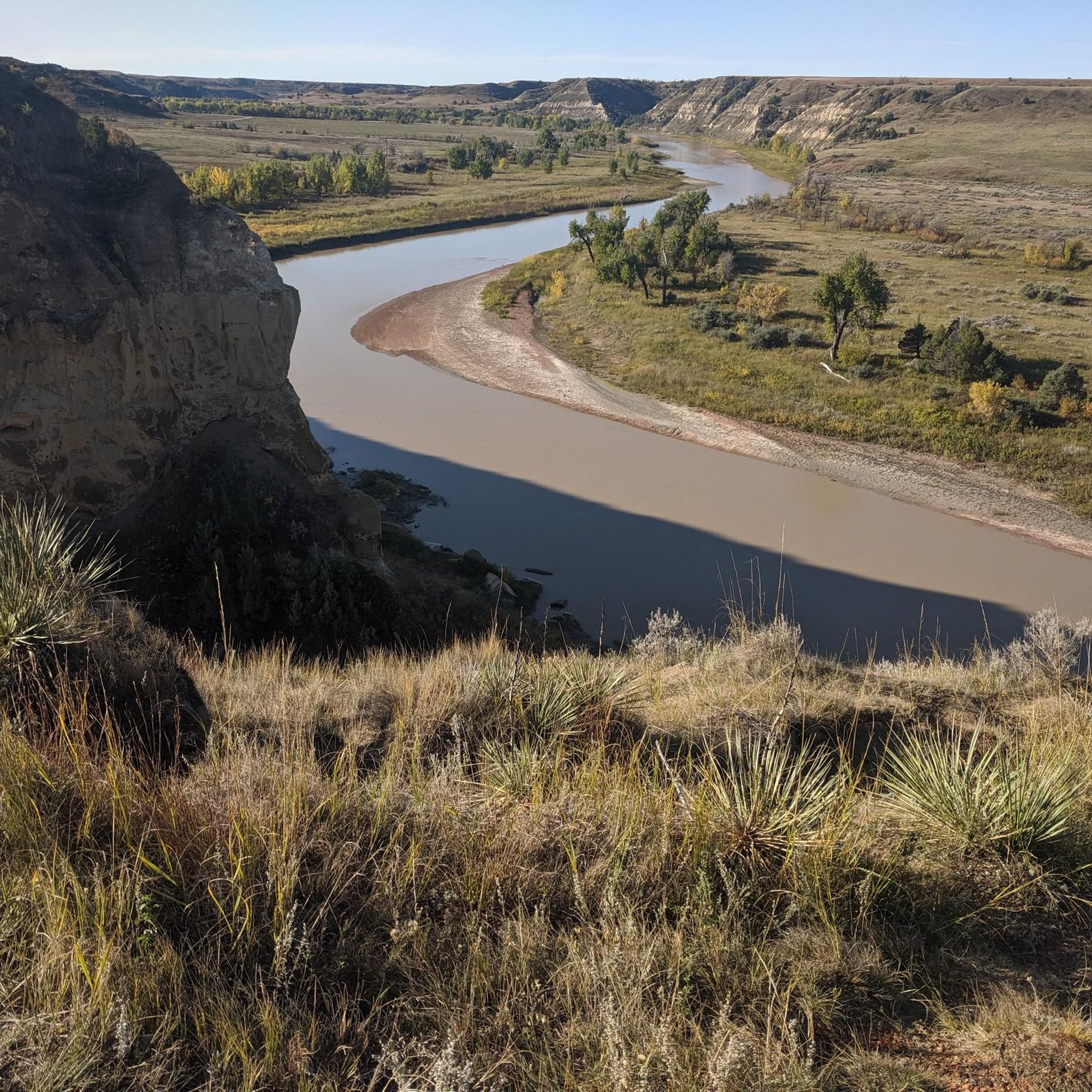
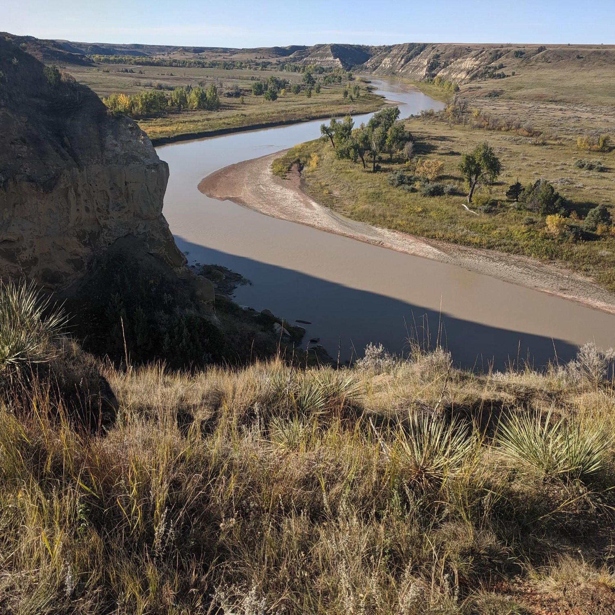
Sully Creek State Park is located in the heart of the North Dakota Badlands and on the banks of the Little Missouri River. The park is a popular spot for running and hiking, as well as biking, picnicking and canoeing on the river.
0
0
Maah Daah Hey Trail is a 144-mile trail that runs through some of the most breathtaking scenery in North Dakota. The section after Medora is a particularly beautiful part that goes through the North Dakota Badlands with views onto Theodore Roosevelt National Park.
1
0

Chimney Park Path is a short, paved out-and-back trail that leaves out of Medora along Pacific Avenue. This trail is a great way to enjoy some of the views of Theodore Roosevelt National Park from outside of the park. Despite being so close to the road and to town, wildlife spotting is common along this trail.
0
0

The Buffalo Gap Trail is a Theodore Roosevelt National Park bypass section of the Maah Daah Hey Trail because mountain biking is not allowed in the TRNP. Despite it being designed for mountain biking it's also a great hiking trail that allows you to make a great hiking loop in combination with the Petrified Forest Loop Trail.
1
0
The Ekblom Trail is a short connecting trail between the Maah Daah Hey Trail and the Big Plateau Trail. It is often used in a hiking loop with Big Plateau Trail and Lone Tree Spring Trail. There is a creek crossing involved and from the nearby parking lot a river crossing (Little Missouri River). Talk to the staff at the visitor center if it's safe to cross when you are here.
1
0
This specific section of the Maah Daah Hey Trail is nestled between the Big Plateau and the Lone Tree Spring Trail. It has a rapid elevation change to bring you up or down from the plateau. Especially when hiking down, the views open up and offers a beautiful view down into the canyon and valley.
1
0
Frequently Asked Questions
What types of hiking trails can I find in Golden Valley County, North Dakota?
Golden Valley County, North Dakota, offers a diverse range of hiking experiences. You'll find trails traversing rolling prairie, agricultural lands, and areas with badlands terrain, particularly within Theodore Roosevelt National Park. The region also features river valleys, elevated plateaus, and the ponderosa pine-covered slopes of the Little Snowy Mountains. There are options for easy walks, moderate excursions, and more challenging routes.
Are there easy hiking trails suitable for beginners or casual walkers in Golden Valley County?
Yes, Golden Valley County offers several easy hiking trails. For instance, the Pancratz Trail loop near Medora is an accessible option, as is the Chimney Park Path. These trails are generally shorter and have less elevation gain, making them ideal for a relaxed outdoor experience.
What are some notable natural features or landmarks to look out for on hikes in Golden Valley County?
Hikers in Golden Valley County can explore unique natural features. The badlands terrain within Theodore Roosevelt National Park is a prominent highlight, offering views of distinctive geological formations. Trails like the Petrified Forest Loop Trail showcase impressive petrified wood formations. The Musselshell River and its tributaries also provide scenic riverine environments, while the Little Snowy Mountains are characterized by their ponderosa pine trees.
Are there any loop trails available for hiking in Golden Valley County?
Yes, there are several loop trails in Golden Valley County that offer varied scenery without retracing your steps. Popular options include the Petrified Forest Loop Trail and the Ekblom Trail, Big Plateau Trail and Lone Tree Spring Loop Trail, both located within Theodore Roosevelt National Park. Another loop option is the Pancratz Trail loop near Medora.
What is the best time of year to go hiking in Golden Valley County, North Dakota?
The best time to hike in Golden Valley County generally depends on your preference. Spring offers impressive wildflower displays, especially in areas like the Golden Valley Wilderness (though this guide focuses on ND, the principle of spring blooms applies). Summer provides warm weather, while fall brings cooler temperatures and potentially colorful foliage. Winter hikes are possible but require appropriate gear for snow and cold conditions.
What kind of wildlife might I encounter while hiking in Golden Valley County?
Golden Valley County is home to diverse wildlife. In areas like Theodore Roosevelt National Park, you might spot bison, wild horses, and various bird species. The prairie and badlands environments support animals adapted to these habitats. The Little Snowy Mountains also offer opportunities for wildlife watching, including species that thrive among the ponderosa pines.
Are there any long-distance or challenging hikes in the area?
For those seeking a more challenging experience, the Maah Daah Hey Trail Out&Back in Theodore Roosevelt National Park is a difficult route covering over 27 kilometers. This trail offers a strenuous journey through the rugged badlands terrain, providing a significant test for experienced hikers.
What do other hikers say about the trails in Golden Valley County?
The hiking routes in Golden Valley County are generally well-regarded by the komoot community. Many hikers appreciate the unique prairie landscapes, the dramatic badlands formations, and the varied riverine environments. The trails offer a good mix of easy, moderate, and challenging options, catering to different fitness levels.
Are there any trails that offer viewpoints or scenic overlooks?
Many trails in Golden Valley County, particularly those in Theodore Roosevelt National Park, offer excellent viewpoints. The elevated plateaus and badlands formations naturally provide expansive vistas of the surrounding landscape. Trails like the Ekblom Trail, Big Plateau Trail and Lone Tree Spring Loop Trail are known for navigating through varied terrain that includes scenic plateaus.
What is the typical duration for hikes in Golden Valley County?
Hiking durations in Golden Valley County vary significantly depending on the trail's length and difficulty. Shorter, easy trails like the Pancratz Trail loop can be completed in about an hour. Moderate routes, such as the Petrified Forest Loop Trail, typically take around 4 to 5 hours, while more difficult and longer trails can extend to 7 hours or more.
Are there opportunities for dispersed recreation, like camping, in Golden Valley County?
Yes, the Little Snowy Mountains, located within Golden Valley County, offer opportunities for dispersed recreational activities. This includes camping, hunting, and wildlife watching. These areas provide a more rugged and self-sufficient outdoor experience compared to established campgrounds.
Most popular routes in Golden Valley County

Get inspired with the komoot mobile app


Explore more
Browse the best Hikes in other regions.
