The best road cycling routes in Utah County
4.5
(42)
2,295
riders
115
rides
Road cycling routes in Utah County are set against the backdrop of the Wasatch Mountains, featuring diverse terrain from river parkways to scenic byways. The region is characterized by prominent canyons like Provo Canyon and American Fork Canyon, with the Provo River winding through its heart. Cyclists can explore routes alongside significant water bodies such as Utah Lake and Deer Creek Reservoir. The landscape offers a mix of paved, traffic-free trails and more challenging mountain roads.
Best road cycling routes in Utah County
- The most popular road cycling route is Highland Glen Park Lake loop from Da Vinci Place, a 25.9 miles (41.7 km) trail that takes 1 hour 38 minutes to complete. This easy route offers scenic views around Highland Glen Park Lake.
- Another top favourite among local road cyclists is Murdock Canal Trail – Murdock Canal Trail loop from 1600 N @ 139 E, a moderate 32.7 miles (52.6 km) path. This route follows the paved Murdock Canal Trail, providing a mostly flat cycling experience.
- Local road cyclists also love the Provo River Parkway – Provo River loop from American Fork, a 43.9 miles (70.7 km) trail leading through Provo Canyon, often completed in about 2 hours 57 minutes.
- Road cycling in Utah County is defined by the Wasatch Mountains, the Provo River, and Utah Lake. The network offers options for various ability levels, from easy paved trails to more challenging routes with elevation gain.
- The routes in Utah County are highly rated by the komoot community with an average score of 4.5 stars from over 40 reviews. More than 2,000 road cyclists have used komoot to explore Utah County's varied terrain.
Last updated: October 1, 2026
4.0
(5)
144
riders
46.8km
02:03
340m
340m
Moderate road ride. Good fitness required. Mostly well-paved surfaces and easy to ride.
5.0
(2)
80
riders
59.6km
02:31
370m
370m
Moderate road ride. Good fitness required. Mostly well-paved surfaces and easy to ride.

4.0
(2)
65
riders
49.5km
02:06
210m
210m
Moderate road ride. Good fitness required. Mostly well-paved surfaces and easy to ride.
4.0
(1)
85
riders
41.4km
01:51
340m
340m
Moderate road ride. Good fitness required. Mostly well-paved surfaces and easy to ride.
5.0
(2)
62
riders
33.2km
01:22
130m
130m
Easy road ride. Great for any fitness level. Mostly well-paved surfaces and easy to ride.
54
riders
21.4km
01:01
230m
230m
Easy road ride. Great for any fitness level. Mostly well-paved surfaces and easy to ride.
5.0
(5)
49
riders
23.6km
00:56
50m
50m
Easy road ride. Great for any fitness level. Mostly well-paved surfaces and easy to ride.
42
riders
43.7km
01:44
150m
150m
Easy road ride. Great for any fitness level. Mostly well-paved surfaces and easy to ride.
5.0
(2)
76
riders
Easy road ride. Great for any fitness level. Mostly well-paved surfaces and easy to ride.
36
riders
29.6km
01:12
160m
160m
Easy road ride. Great for any fitness level. Mostly well-paved surfaces and easy to ride.
Get access to more routes and recommendations from other explorers.
Already have an account?
Our route recommendations are based on thousands of hikes, rides, and runs completed by other people on komoot.
Start today with a free account
Your next adventure awaits.
Popular around Utah County
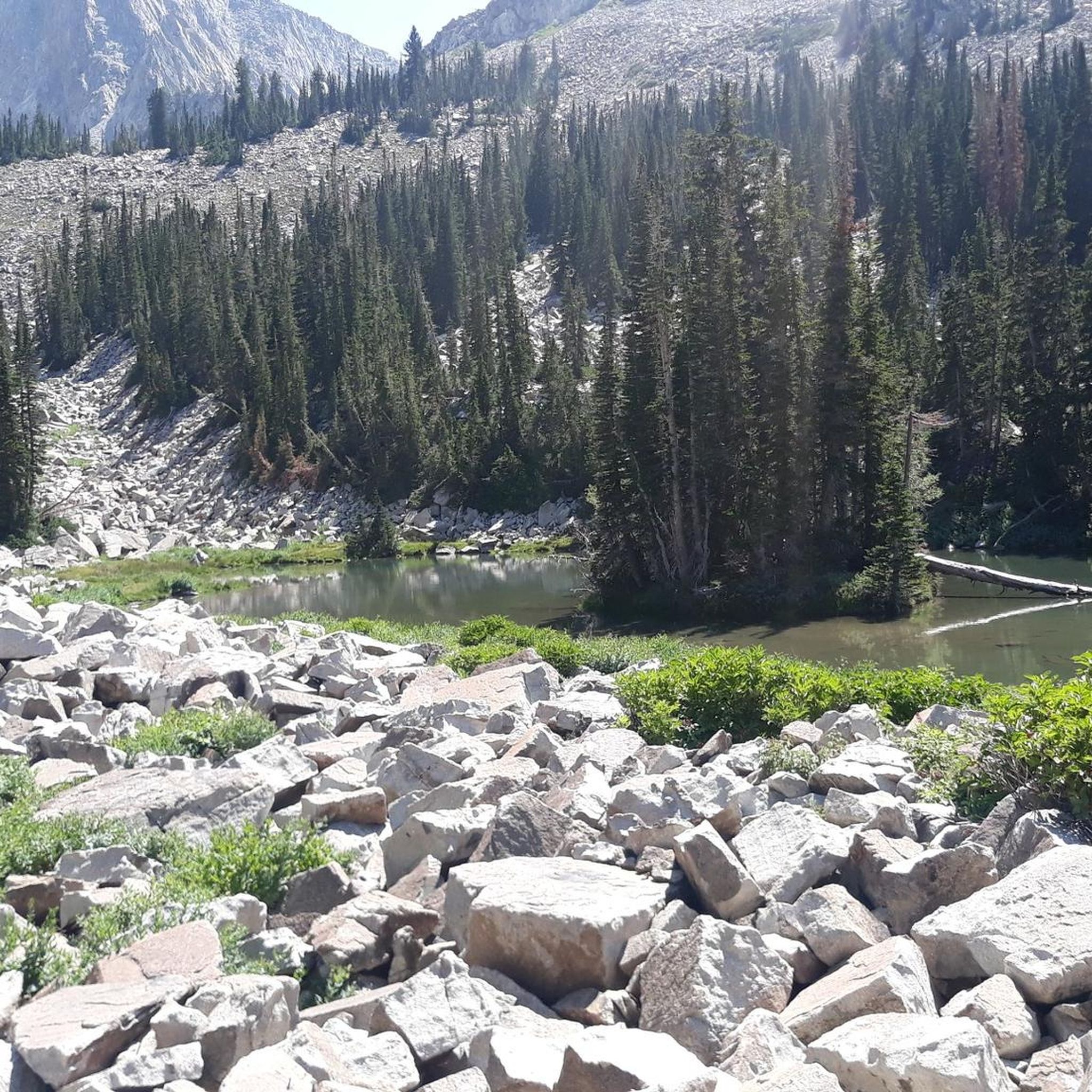
Road Cycling Routes in Lone Peak Wilderness
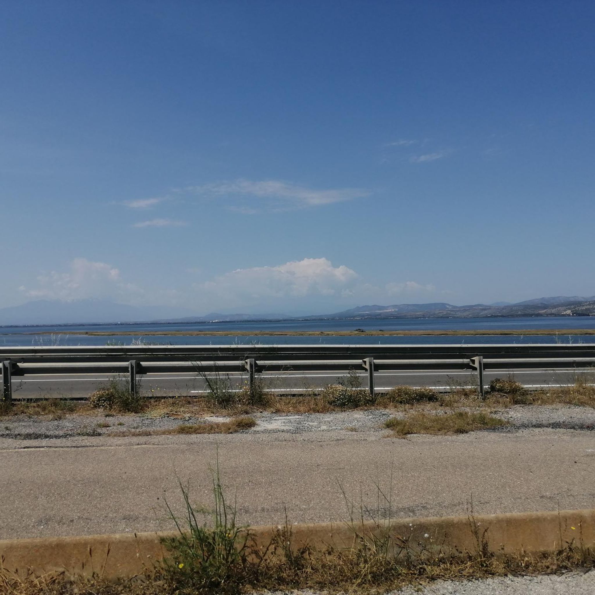
Road Cycling Routes around Palmyra
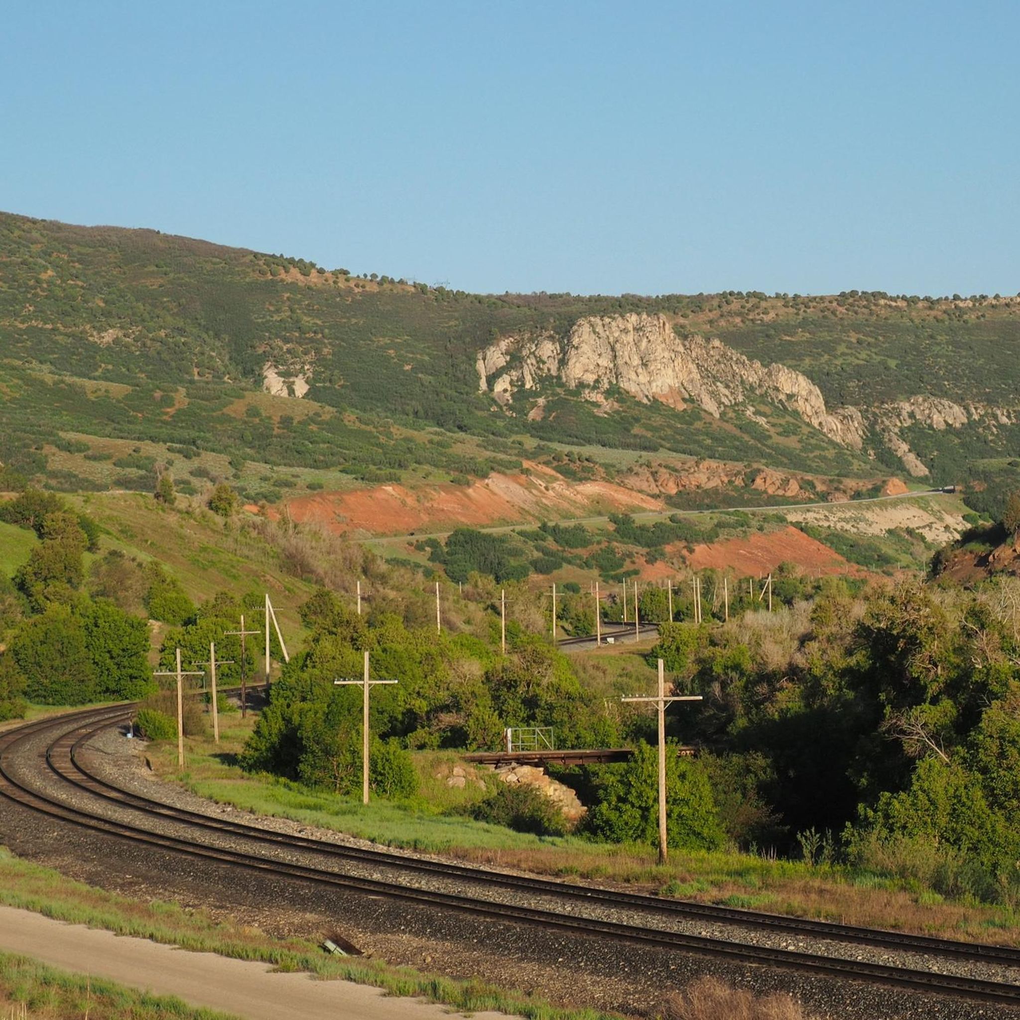
Road Cycling Routes around Spanish Fork
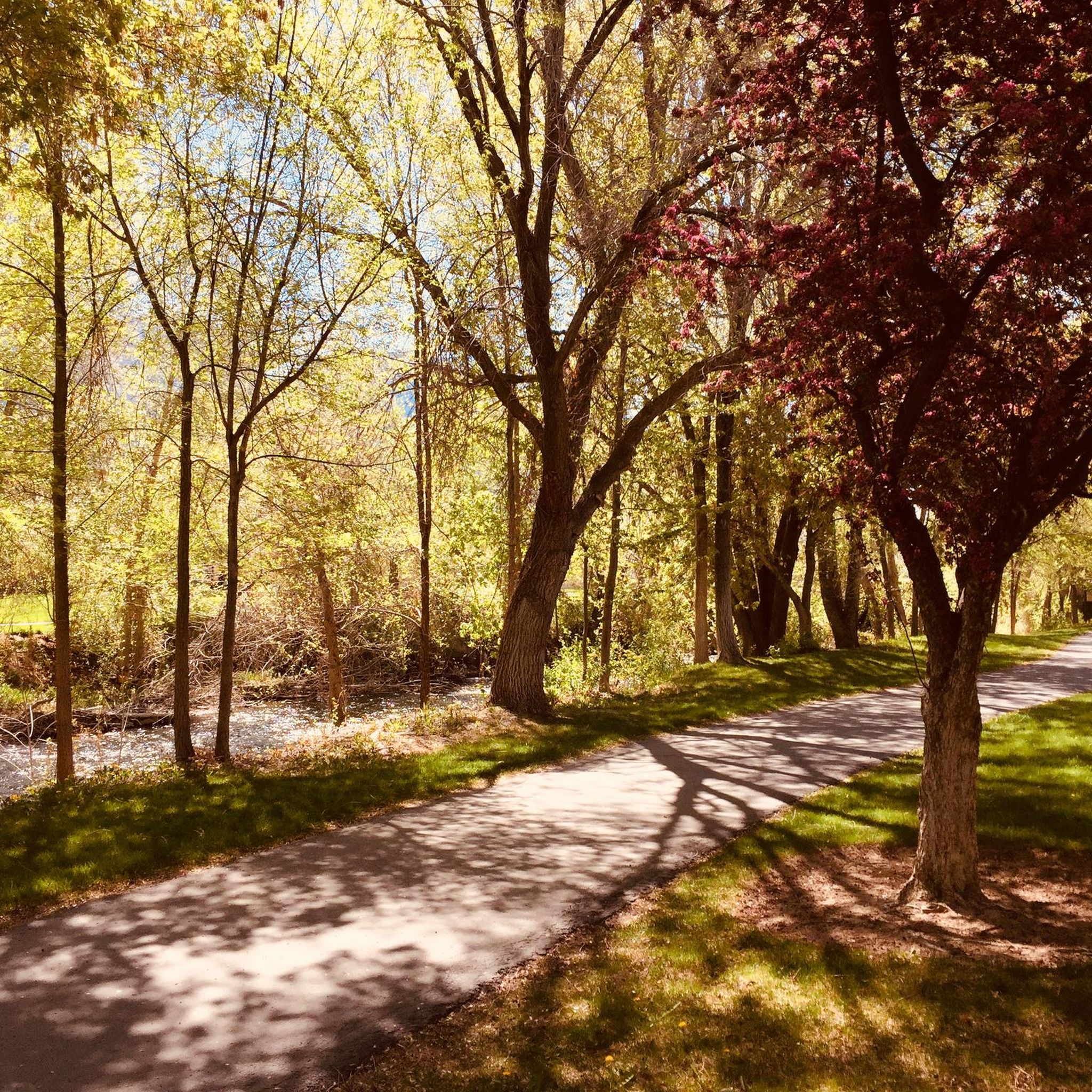
Road Cycling Routes around Provo
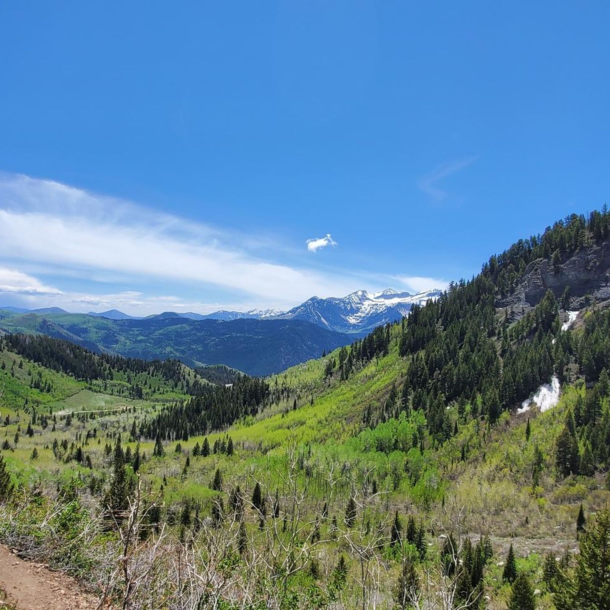
Road Cycling Routes in Mount Timpanogos Wilderness
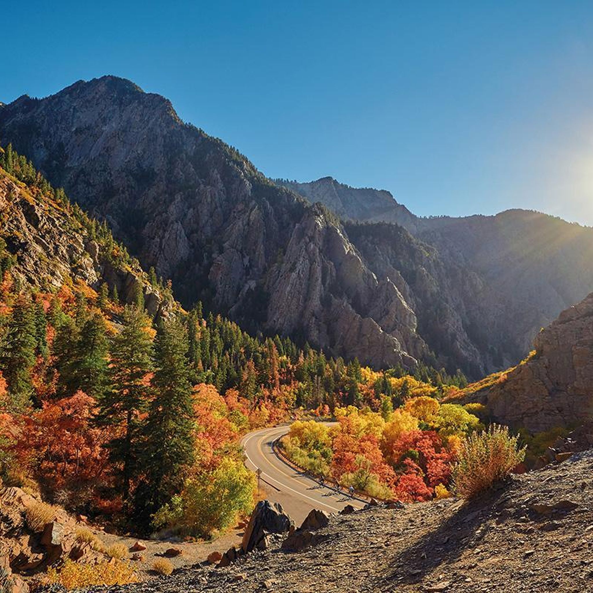
Road Cycling Routes around Cedar Hills
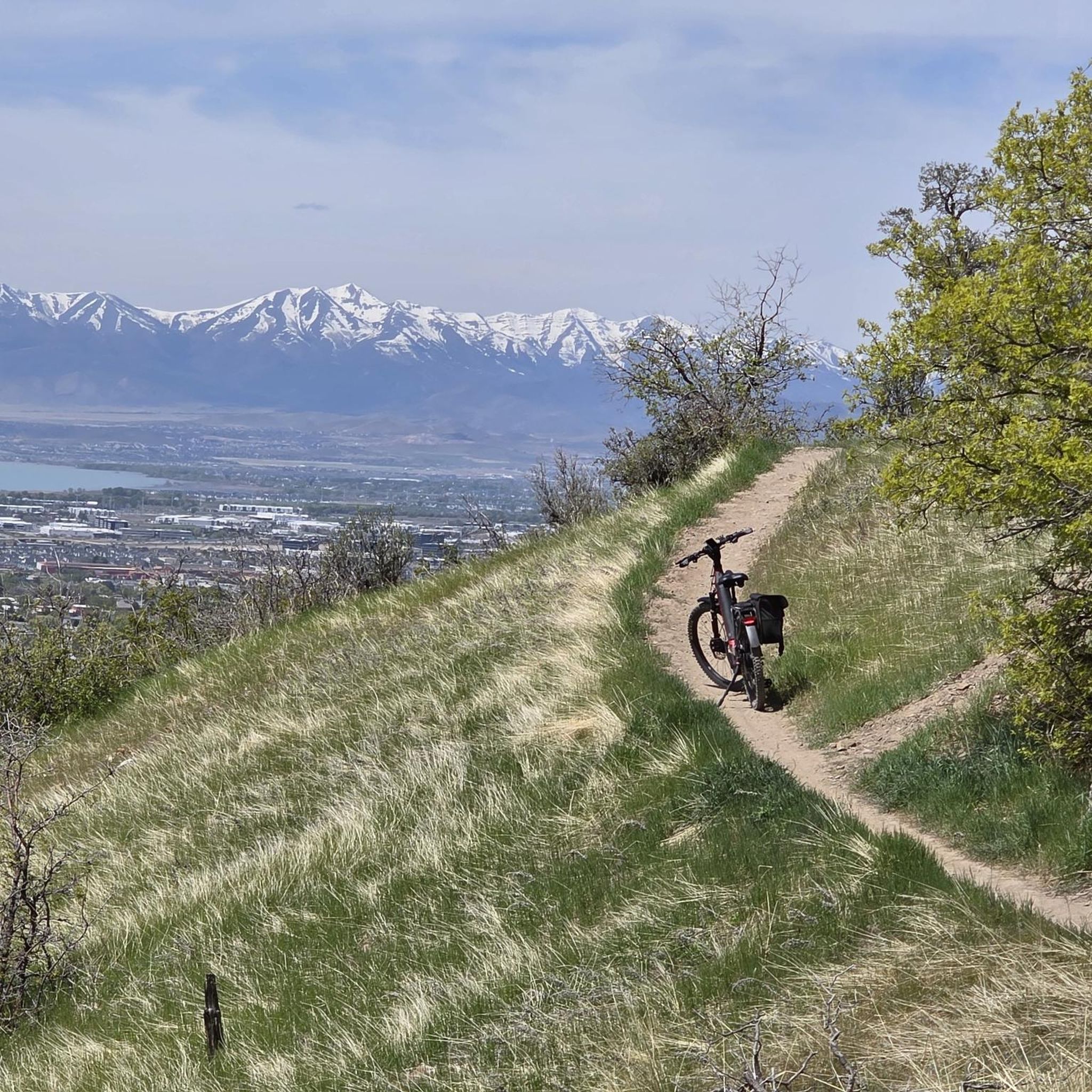
Road Cycling Routes around Lindon
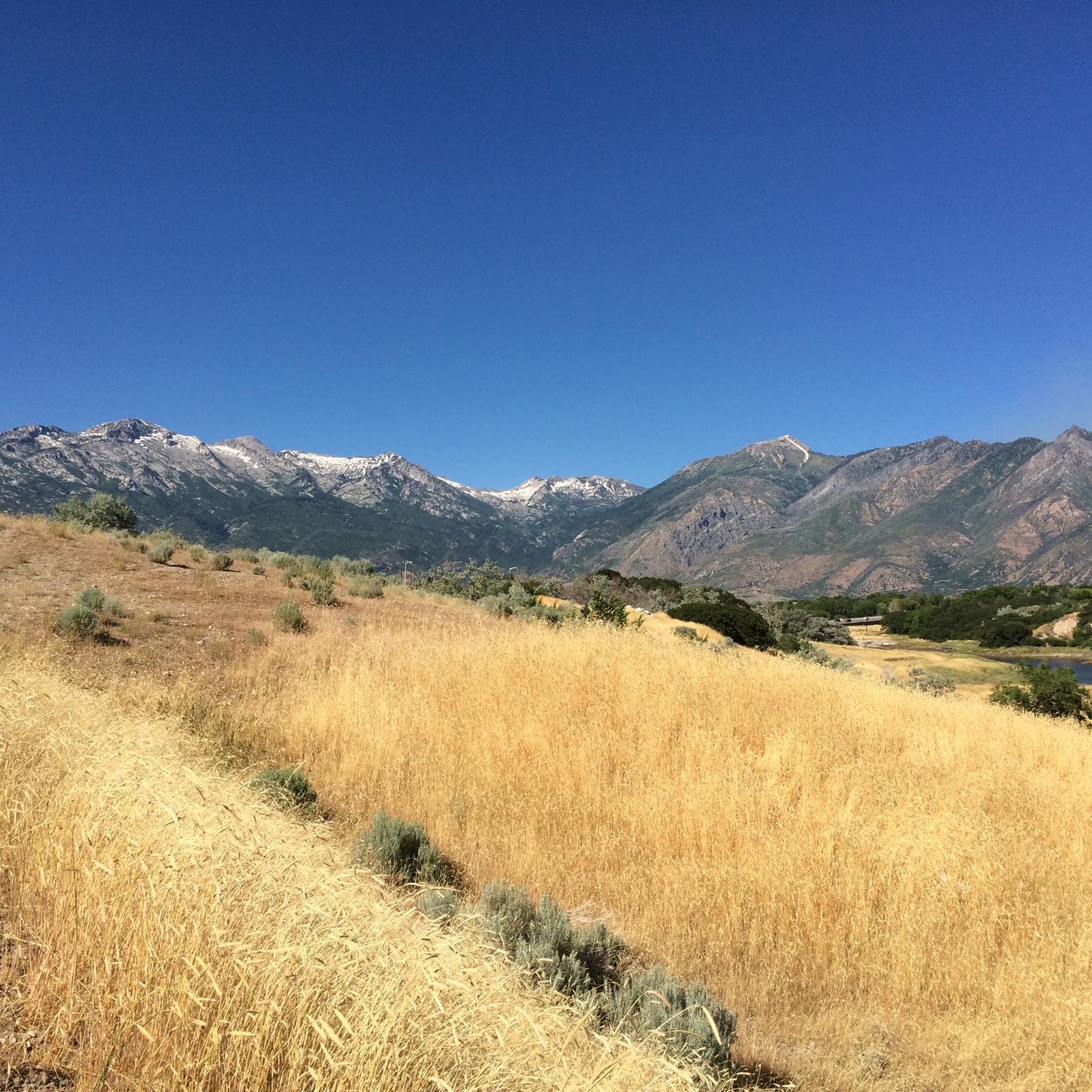
Road Cycling Routes around Highland
Road Cycling Routes around Springville

Road Cycling Routes around Alpine
Tips from the Community

Provo River Parkway is a smooth, paved trail that follows the Provo River through canyons and parks. It’s mostly flat with gentle climbs, offering plenty of shade and scenic river views. This segment passes by Glen Park—an easy spot to refill water bottles or have a snack at the picnic tables.
1
0

This bright red barn is a standout amongst the beautiful mountain backdrop. It's one of many scenic features along this trail and is worthy of a stop to take a great photo!
0
0
Beautiful 18-hole course with a traditional, flat style. As you ride by, you can enjoy stunning views of the Wasatch Mountains.
0
0

Cycling on North Canyon Road in Utah offers a scenic and rewarding climb through dense forests and striking canyon views. The road starts in Bountiful and winds steadily uphill, eventually connecting to the Skyline Drive trail system. It's a popular route for both road cyclists and gravel riders, especially in the warmer months when the air is crisp and the mountains are lush. With limited traffic and panoramic vistas, it's a peaceful yet challenging ride worth the effort.
0
0
The valley views from Murdock Trail are just remarkable, especially at sunrise/sunset!!
0
0

This multi-use paved trail begins at Utah Lake State Park and follows the Provo River for 15 miles, showcasing different areas of the city and its parks.
0
0

If you want to see the main waterfall in the park, you'll have to leave your bike behind for a bit. Just biking along the river on the Provo River Parkway is worth your while, though, and you get great views of cascades and small falls pouring into the river.
0
0

This 17-mile trail traverses seven cities and follows the path of the original trail constructed in the early 1900s. The trail was initially built to transport water from the Provo River for irrigation in Northern Utah County.
0
0
Frequently Asked Questions
How many road cycling routes are available in Utah County?
Utah County offers a wide variety of road cycling routes, with over 100 options available on komoot. These routes cater to different skill levels, from easy paved paths to challenging mountain climbs.
What types of road cycling routes can I find in Utah County?
You'll find a diverse range of routes, including 55 easy, 41 moderate, and 10 difficult options. The terrain varies from flat river parkways to scenic byways with significant elevation gain through the Wasatch Mountains.
What is the best time of year for road cycling in Utah County?
The spring, summer, and fall months generally offer the best conditions for road cycling in Utah County. Summer provides warm weather, while spring and fall showcase beautiful foliage, especially along routes like the Alpine Loop. Always check local weather conditions before heading out.
What do other cyclists enjoy most about road cycling in Utah County?
The komoot community rates road cycling in Utah County highly, with an average score of 4.5 stars from over 40 reviews. Cyclists often praise the stunning mountain backdrops, diverse terrain, and the well-maintained paved trails that offer both leisurely rides and challenging climbs.
Are there easy, family-friendly road cycling routes in Utah County?
Yes, Utah County has several excellent paved, mostly flat trails perfect for families and beginners. The Highland Glen Park Lake loop from Da Vinci Place is an easy 25.9-mile route. Other great options include the Provo River Parkway, Murdock Canal Trail, Spanish Fork River Trail, and the Vineyard Beach and Utah Lake Shoreline Trail.
Where can I find challenging road cycling routes with significant elevation gain?
For a challenge, consider the scenic byways. The Alpine Loop Scenic Byway and the Nebo Loop National Scenic Byway offer continuous views of towering peaks and dense forests with substantial climbs. The Highland Glen Pond – Highland Glen Park Lake loop from Mitchell Hollow Park is a difficult 40.3-mile route with over 3,900 feet of elevation gain.
Which routes offer the most scenic views in Utah County?
Many routes boast incredible scenery. The Provo Canyon Scenic Byway offers rides between mountain cliffs and along the Provo River. The Alpine Loop and Nebo Loop provide continuous views of the Wasatch Mountains, dense forests, and seasonal wildflowers. Even paved trails like the Provo River Parkway offer lush river views.
Are there any waterfalls I can see while road cycling in Utah County?
Yes, Utah County is home to several beautiful waterfalls. While cycling the Provo River Parkway, you can access the magnificent Stewart Falls. Other notable waterfalls in the region include Fifth Water Hot Springs & Waterfall and Battle Creek Falls, which can be incorporated into your cycling adventures.
Can I access attractions like Timpanogos Cave National Monument or Sundance Mountain Resort from cycling routes?
Yes, the Alpine Loop Scenic Byway provides access to both the Sundance Mountain Resort and the Timpanogos Cave National Monument. These are popular stops for cyclists looking to combine their ride with other outdoor activities or sightseeing.
Are there long-distance road cycling routes in Utah County?
Absolutely. For longer rides, the Provo River Parkway – Provo River loop from American Fork is a substantial 43.9-mile route. The Murdock Canal Trail and Jordan River Parkway Trail also offer extensive paved sections that can be linked for very long, continuous rides.
Are there any circular road cycling routes in Utah County?
Many of Utah County's road cycling routes are designed as loops, allowing you to start and end at the same point. Examples include the Murdock Canal Trail – Murdock Canal Trail loop from 1600 N @ 139 E and the Hobble Creek Trail – Hobble Creek Parkway Trail loop from Taco Bell parking.
What are some popular paved trails for road cycling in Utah County?
The Provo River Parkway is a smooth, paved trail following the Provo River. The Murdock Canal Trail is another excellent paved, mostly flat option stretching from Orem to Lehi. The Jordan River Parkway Trail also provides a long paved route along the Jordan River, connecting to other trails for extended rides.
Are there any specific points of interest along the Provo River Parkway?
The Provo River Parkway offers access to several points of interest. It follows the Provo River itself, providing scenic views, and connects to Utah Lake and Bridal Veil Falls. You'll also find various parks and picnic areas along its length.
Most popular routes in Utah County
Most popular attractions in Utah County

Get inspired with the komoot mobile app


Didn’t find what you were looking for?
Check out more Road cycling routes throughout Utah County below and find the perfect route in your destination.
Explore more
Browse the best Road cycling routes in other regions.
