The best running trails in Lower Connecticut River Valley Planning Region
2.0
(1)
254
runners
37
runs
Jogging routes in Lower Connecticut River Valley Planning Region traverse a landscape shaped by the Connecticut River estuary, offering diverse terrain for runners. The region features low-lying coastal plains, extensive tidal marshes, and riverine floodplains. Varied topography ranges from flat riverfront paths to forested areas with moderate elevation changes, providing a range of running experiences. This area encompasses approximately 424 square miles in south-central Connecticut, characterized by its natural features and open space preserves.
Best jogging routes in Lower Connecticut…
Last updated: July 7, 2026
1
runners
13.2km
01:44
340m
340m
The Mattabesett Trail is a difficult 8.2-mile (13.2 km) jogging route with 1131 feet (345 metres) of elevation gain and diverse terrain.
4.72km
00:34
50m
50m
Jog the moderate 2.9-mile Portland Reservoir loop in Meshomasic State Forest, featuring scenic water views and natural forest terrain.

Sign up for free
4.85km
00:35
60m
60m
Jog the easy 3.0-mile Rockland Trail Loop in Rockland Preserve, featuring varied singletrack terrain with gravel, roots, and rocks.
5.73km
00:41
50m
50m
Jog the 3.6-mile Bailey Trail South Loop, a moderate route along the Hammonasset River with forest views and historic mill remnants.
4.50km
00:33
70m
70m
Jog the moderate 2.8-mile Mica Ledges Loop in Durham, Connecticut, featuring varied terrain, granite ledges, and views to Long Island Sound.
8.26km
01:03
140m
140m
Jog the Mattabesett Trail, a moderate 5.1-mile route with 472 feet of elevation gain, offering diverse terrain and scenic ridge views.
24
runners
9.84km
01:01
20m
20m
The South Cove – Knollwood Beach loop offers a refreshing coastal jogging experience in Old Saybrook, ideal for those who appreciate water views and a mostly flat path. This route…
21
runners
8.26km
00:51
20m
20m
Moderate run. Good fitness required. Mostly paved surfaces. Suitable for all skill levels.
25
runners
18.6km
02:16
170m
170m
Hard run. Very good fitness required. Mostly paved surfaces. Suitable for all skill levels.
11
runners
4.52km
00:29
30m
30m
Easy run. Great for any fitness level. Mostly paved surfaces. Suitable for all skill levels.
Get access to more routes and recommendations from other explorers.
Sign up for free
Already have an account?
Our route recommendations are based on thousands of hikes, rides, and runs completed by other people on komoot.
Start today with a free account
Your next adventure awaits.
Login or Signup
Popular around Lower Connecticut River Valley Planning Region
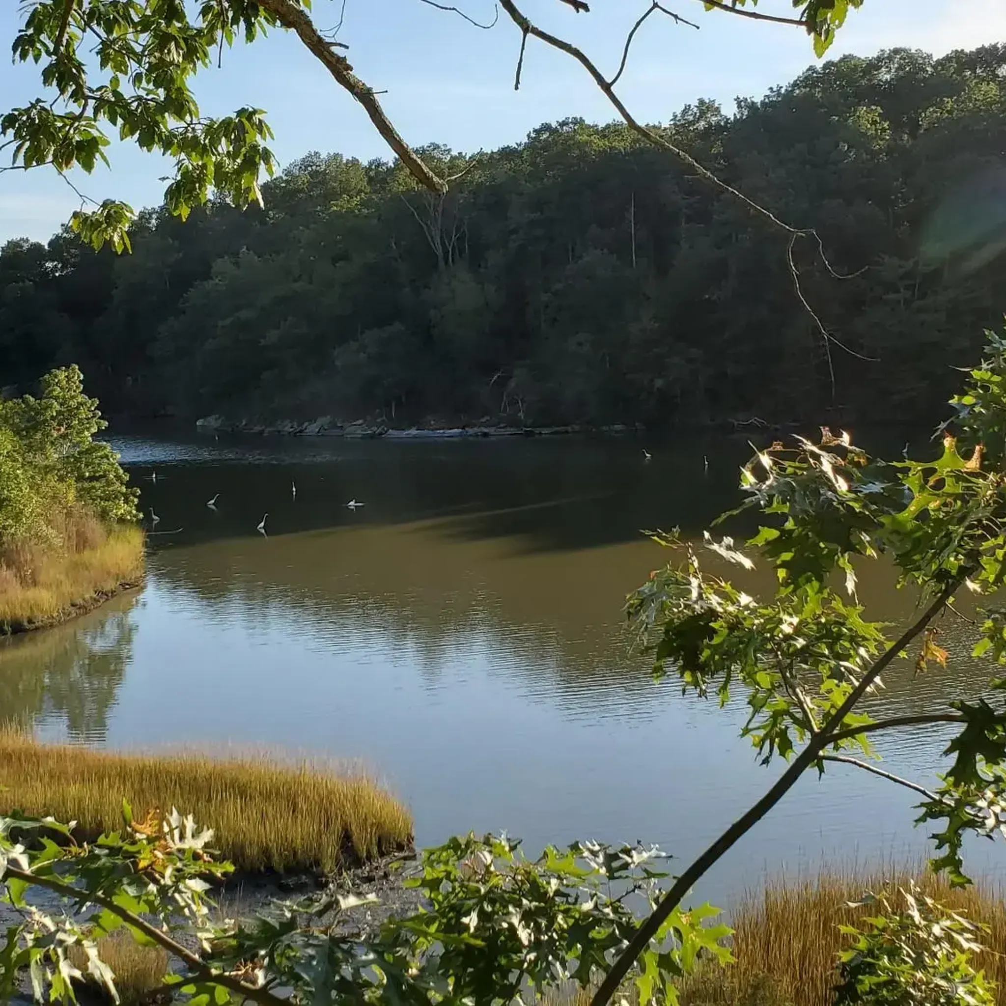
Running Trails in Cockaponset State Forest
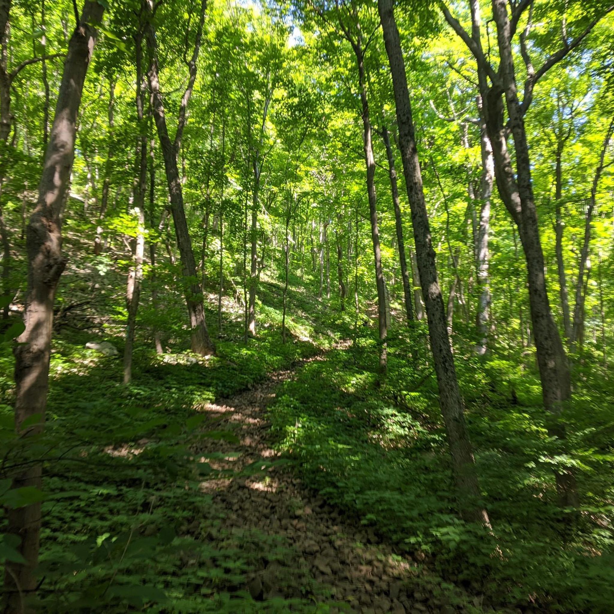
Running Trails in Trimountain State Park

Running Trails around Durham

Running Trails in Forster Pond State Park
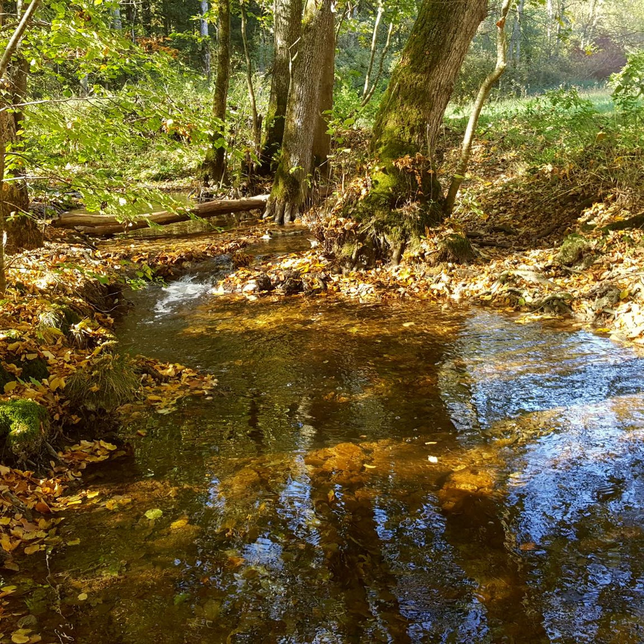
Running Trails around Middletown

Running Trails around Clinton
Running Trails around Higganum

Running Trails in Millers Pond State Park

Running Trails in Meshomasic State Forest

Running Trails around Westbrook Center
Tips from the Community

The Air Line State Park Trail in Connecticut is a rail trail and linear state park that is a part of the East Coast Greenway. There are several sections including: South (25 miles from East Hampton to Windham), North (21 miles from Windham to Putnam), Thompson addition (6.6 miles from Thompson to the Massachusetts state line), and an additional 3.6-mile spur to Colchester. Recognized as a national recreation trail by the U.S. Department of the Interior in 2002, it offers scenic routes for hiking and biking. This southern section of the trail near East Hampton is a gravel crushed trail that is great to ride on its own, or to access singeltrack in the nearby Salmon River Forest.
0
0
Right across from the Cypress Cemetery, a historic spot in its own right, is the original location of Yale College. There is a large stone with a plaque and an informational sign marking the spot.
0
0

Powder Hill is a viewpoint and the top of the lifts at Powder Ridge Ski Area. The overlook sits off to the side of the Mattabesett Trail, which gives access to this overlook along with a few other high points. There are a couple different spots you can park to gain access to the Mattabesett Trail and a few different route options for climbing up to this particular overlook.
0
0

Rockland Preserve is a 650-acre park with hills, steep rocky cliffs, and woods. The park's centerpiece is Coan Pond.
0
0

This 100-acre preserve was acquired in 1996 for the permanent protection of the area. Named for the exposed granite that can rise up to 400 feet above the river, it provides stunning views of the surrounding landscape.
0
0

With an elevation of not even 700 feet, Pistapaug Hill still offers a nice view of the surrounding area and the Pistapaug Pond below. It can be reached via the Mattabesett Trail from both directions.
0
0

Numerous hiking trails run through the wooded park and provide soothing shade in the summer. The Mattabesett Trail crosses the park from south to north and is part of the New England Trail. The highest elevation, at 500 feet, is Trimountain, which consists of three small peaks.
0
0
The Bailey Trail is separated into two different sections: a North trail and a South Trail. The northern section is super short which this South path is over a mile in one direction. The path follows along with the river
0
0
Frequently Asked Questions
How many running trails can I find in the Lower Connecticut River Valley Planning Region?
The Lower Connecticut River Valley Planning Region offers a good selection of routes for runners. komoot lists over 40 jogging routes in the area, catering to various preferences and fitness levels.
Are there easy or beginner-friendly jogging routes in the Lower Connecticut River Valley Planning Region?
Yes, the region has several easy and moderate running options perfect for beginners or those looking for a relaxed jog. Out of the 42 routes available, 8 are classified as easy and 28 as moderate. An example of an easy route is the Rockland Trail Loop, which is about 3 miles long.
What kind of terrain can I expect on jogging routes in this region?
The Lower Connecticut River Valley Planning Region offers diverse terrain for jogging. You'll find everything from flat, scenic riverfront paths along the Connecticut River estuary to more challenging trails with moderate elevation changes through forests and open space preserves. The area features low-lying coastal plains, extensive tidal marshes, and riverine floodplains, providing varied running experiences.
Are there any circular running routes in the Lower Connecticut River Valley Planning Region?
Yes, many routes in the region are designed as loops, offering convenient circular runs. For instance, the Portland Reservoir loop is a popular moderate 2.9-mile path that circles the reservoir. Another option is the Mica Ledges Loop, a moderate 2.8-mile trail.
Can I find jogging routes with interesting natural landmarks or attractions?
Absolutely! The region is rich in natural beauty and points of interest. You can find routes near attractions like Wadsworth Falls or Wadsworth Little Falls. The area also boasts stunning open space preserves and the picturesque Connecticut River estuary, offering continuous river vistas, especially along routes near towns like Old Saybrook and Essex.
Are there any family-friendly running trails suitable for all ages?
While specific 'family-friendly' designations aren't always explicit, many of the easier and moderate routes with good footing and minimal elevation are suitable for families. Trails within parks like Machimoodus State Park are generally easy to follow and offer a comfortable jog for various ages. Look for routes classified as 'easy' or 'moderate' for the best family options.
What do other runners say about the jogging routes in the Lower Connecticut River Valley Planning Region?
The running routes in the Lower Connecticut River Valley Planning Region are well-regarded by the komoot community, with an average score of 2.0 stars from 1 review. Over 290 runners have used komoot to explore the varied terrain, often praising the scenic riverside views and diverse forest trails.
Are there any longer or more challenging running routes for experienced runners?
Yes, for experienced runners seeking a challenge, there are several difficult routes available. The Mattabesett Trail is a notable difficult route, spanning 8.2 miles (13.2 km) with an elevation gain of over 1130 feet (344 meters). Another challenging option is the Former Lyman Viaduct – Air Line State Park Trail loop from East Hampton, which is over 12 miles long.
Are there jogging routes accessible by public transport or with parking facilities?
Many towns along the Connecticut River, such as Old Saybrook, Old Lyme, and Essex, offer public access to riverfront lands and parks, which often include parking. The developing Lower Connecticut River Valley Heritage Trail also aims to improve walkability and connections, suggesting future accessibility. While specific public transport links to trailheads vary, the region's focus on connected natural areas often means convenient access points.
Can I spot wildlife while running in the Lower Connecticut River Valley Planning Region?
Yes, the region's extensive open space preserves, tidal marshes, and undeveloped woodlands make it an excellent place for wildlife spotting. Running along the Connecticut River estuary or through parks like Machimoodus State Park offers opportunities to observe local flora and fauna in their natural habitats.
What are some popular areas for running within the Lower Connecticut River Valley Planning Region?
Popular areas for running include the trails around the Portland Reservoir, sections of the Mattabesett Trail, and routes within Machimoodus State Park in East Haddam. The charming New England towns along the river, such as Old Saybrook and Essex, also offer scenic waterfronts and town parks ideal for a jog.
Most popular routes in Lower Connecticut River Valley Planning Region
Most popular attractions in Lower Connecticut River Valley Planning Region

Get inspired with the komoot mobile app


Didn’t find what you were looking for?
Check out more Running Trails & Routes throughout Lower Connecticut River Valley Planning Region below and find the perfect route in your destination.
Explore more
Browse the best Running Trails & Routes in other regions.
