The best running trails around Étang De Llat
4.4
(45)
6,386
runners
77
runs
Jogging routes around Étang De Llat are set within the high-mountain environment of the French Pyrenees, characterized by alpine landscapes and varied terrain. The region features a network of interconnected lakes and mountainous paths, including views of peaks within the Carlit massif. Runners can expect unpaved trails with significant elevation changes, offering a challenging experience amidst pristine natural surroundings.
Best jogging routes around Étang De Llat
- The most popular jogging route is Estany de la Pradella – Lake Bouillouses loop…
Last updated: August 14, 2026
171
runners
18.7km
02:37
620m
620m
Hard run. Very good fitness required. Sure-footedness, sturdy shoes and alpine experience required.
144
runners
Hard run. Very good fitness required. Sure-footedness, sturdy shoes and alpine experience required.

Sign up for free
66
runners
8.09km
01:16
250m
250m
Hard run. Good fitness required. Sure-footedness, sturdy shoes and alpine experience required.
41
runners
15.5km
02:09
410m
410m
Hard run. Very good fitness required. Sure-footedness, sturdy shoes and alpine experience required.
7
runners
38.5km
05:57
1,440m
1,440m
Hard run. Very good fitness required. Sure-footedness, sturdy shoes and alpine experience required.
Get access to more routes and recommendations from other explorers.
Sign up for free
Already have an account?
Our route recommendations are based on thousands of hikes, rides, and runs completed by other people on komoot.
Start today with a free account
Your next adventure awaits.
Login or Signup

Tips from the Community

Beautiful mountain refuge in a spectacular setting.
0
0

Superb hike from start to finish, it's a feast for the eyes
0
0

Snowshoeing itinerary in the Bulloses area https://www.youtube.com/watch?v=esdackshECU
0
0


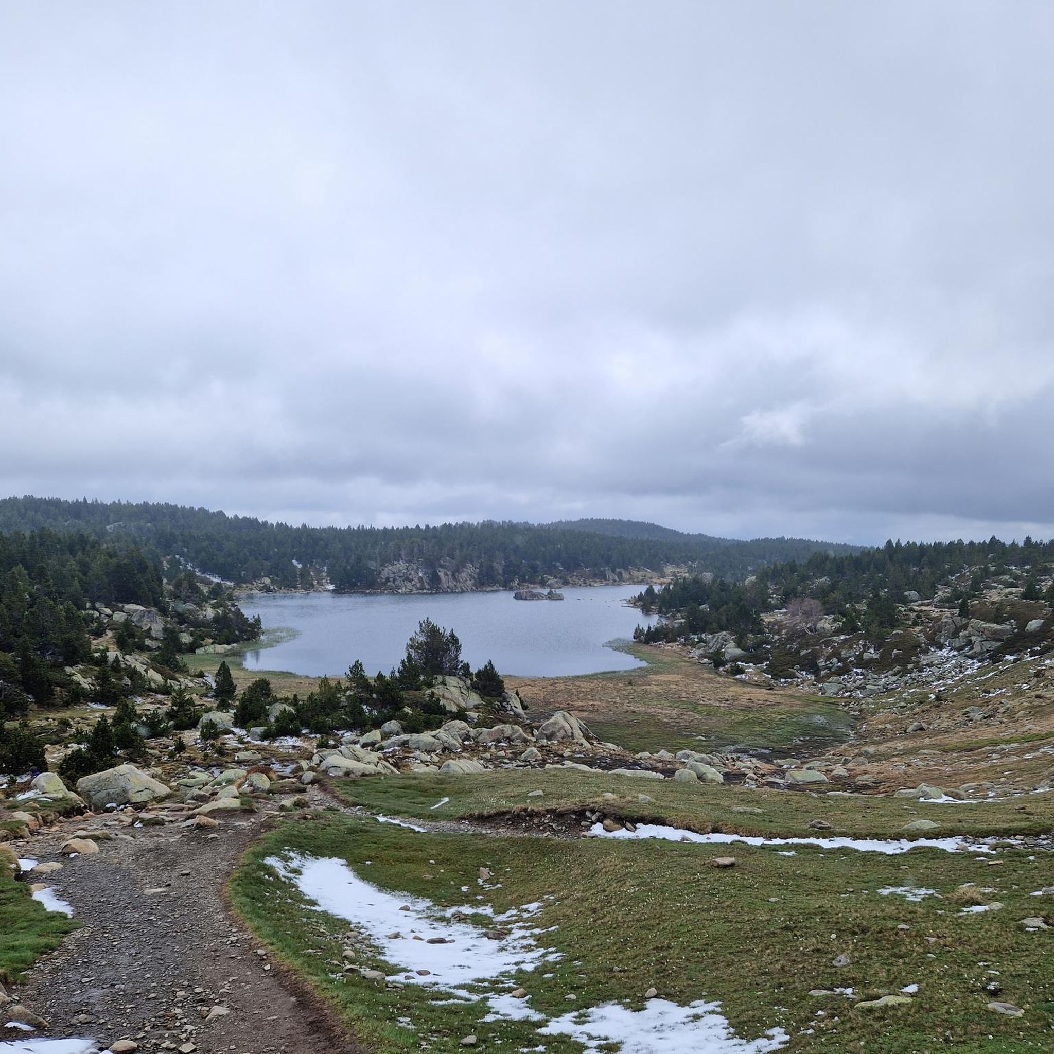
Estany de la Pradella, also called the pond or lake of Pradeilles, is a beautiful mountain lake in the Pyrénées-Orientales. A superb setting for cycling in the heart of nature.
0
0

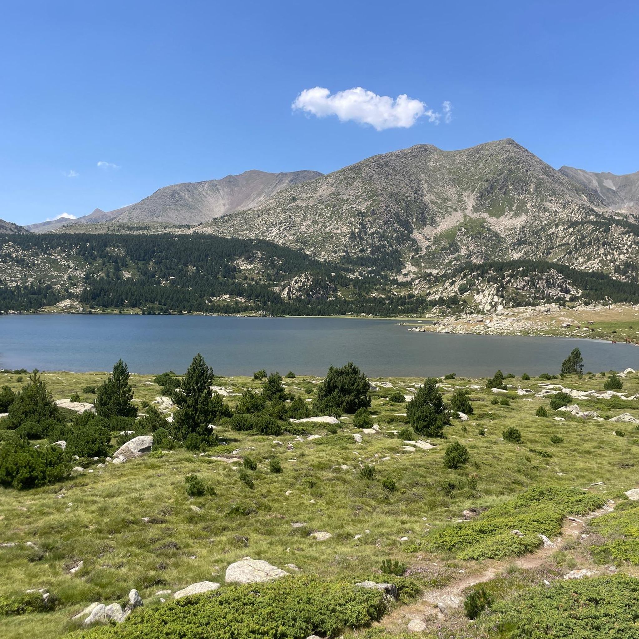
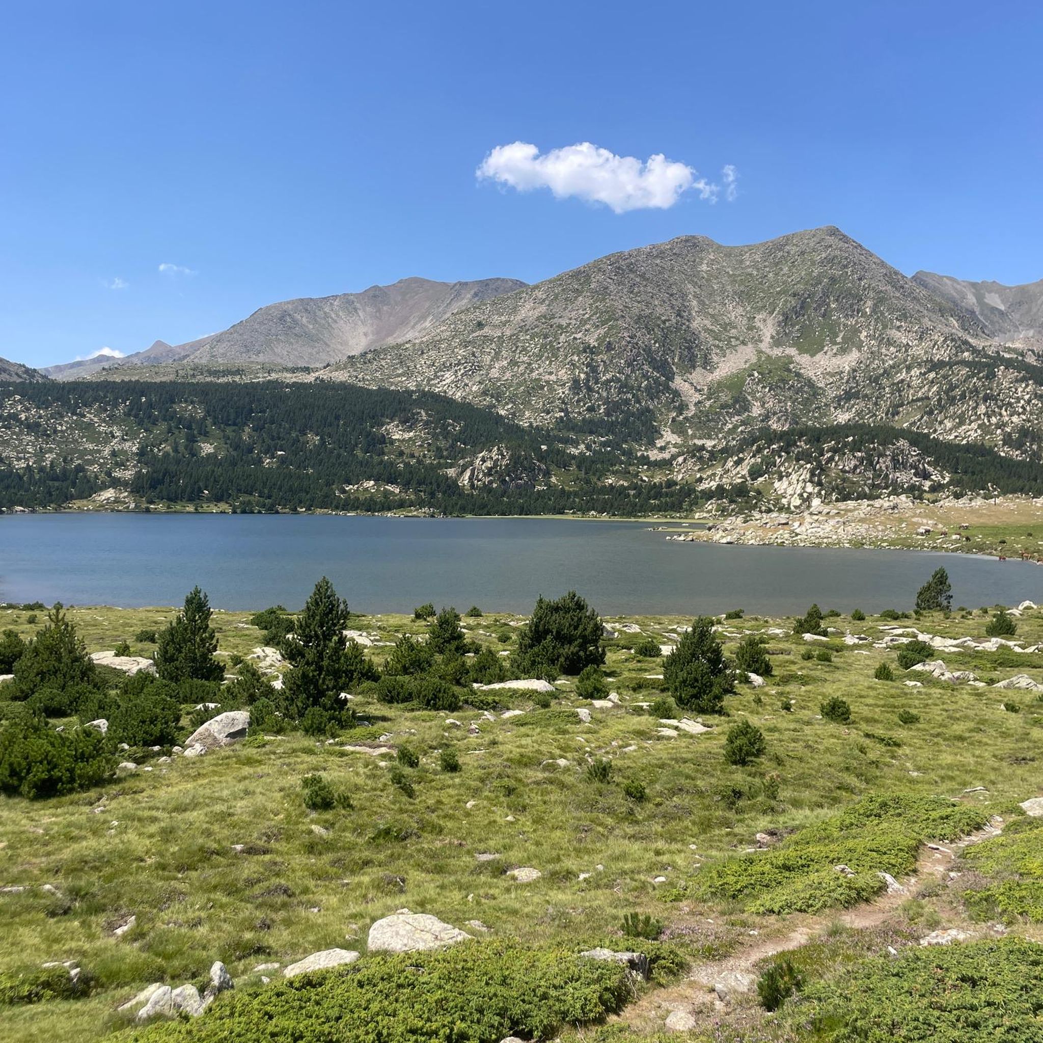
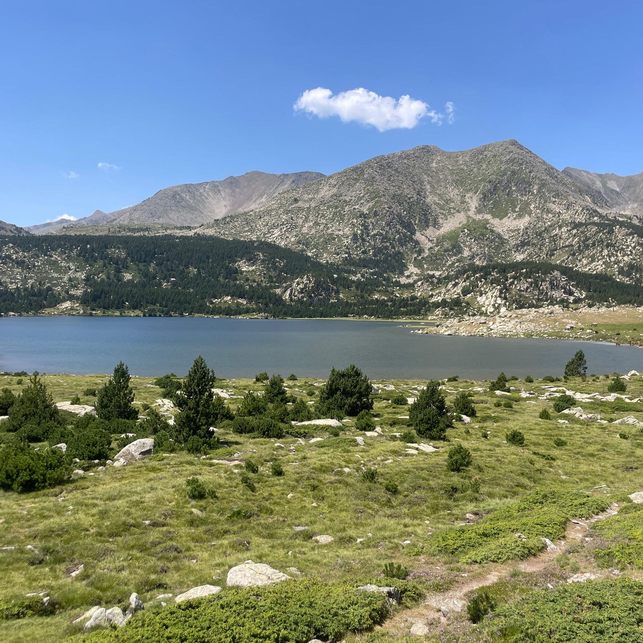
The lake of Bouillouses is a true natural jewel of the Catalan Pyrenees, surrounded by mountains and forests. This high-altitude lake, accessible by hiking trails, offers a spectacular setting where you can admire the crystal-clear waters reflecting the surrounding peaks. The alpine landscapes, dotted with pines and rocks, create a wild and serene atmosphere.
1
0

magnificent landscapes, restoration on the bouillouses
0
0

Beautiful refuge to rest and gain strength, the starting point of an emblematic route that visits multiple lakes and can culminate with the imposing Carlit.
1
0
Frequently Asked Questions
How many running routes are available around Étang De Llat?
There are over 65 running routes available around Étang De Llat. These trails offer a variety of experiences within the high-mountain environment of the French Pyrenees.
What is the typical terrain like for running trails near Étang De Llat?
The running trails around Étang De Llat are characterized by a high-mountain environment with alpine landscapes. You can expect varied terrain, including rocky sections and natural, unpaved paths, often with significant elevation changes. The area is part of the Carlit massif, offering challenging yet rewarding conditions for trail runners.
What are the difficulty levels of the running routes in this region?
The running routes around Étang De Llat cater to various skill levels. While the majority are considered difficult (36 routes), there are also a good number of moderate options (24 routes) and a few easier trails (5 routes) for those seeking a less strenuous experience.
Are there any circular running routes around Étang De Llat?
Yes, many of the running routes around Étang De Llat are circular, allowing you to start and finish at the same point. For example, the Estany de la Pradella – Lake Bouillouses loop from Lac des Bouillouses is a popular circular option, as is the Bouillouses Lake loop from Lac des Bouillouses.
When is the best time of year for trail running around Étang De Llat?
Given its high-altitude, mountainous environment, the best time for trail running around Étang De Llat is typically during the warmer months, from late spring to early autumn. During winter, snow and ice can make many trails impassable or require specialized gear. Always check local conditions before heading out.
What do other runners say about the trails around Étang De Llat?
The running routes in Étang De Llat are highly regarded by the komoot community, holding an average rating of 4.4 stars from over 50 reviews. More than 7,000 runners have explored this area, often praising the breathtaking alpine scenery, the challenge of the mountainous paths, and the pristine natural surroundings.
Are there any specific viewpoints or landmarks I can see while running?
Yes, the region is rich in natural beauty. Many routes offer expansive views of the surrounding lakes and peaks, including the Carlit massif. The area is part of a larger system of lakes, such as Estany Llong, Estany de Sobirans, and Estany de Trebens, which you may encounter. An old refuge near Estany Llat also serves as a historical point of interest.
Are the running routes around Étang De Llat suitable for families?
While the region is primarily known for challenging high-mountain terrain, there are some easier routes available. However, due to the significant elevation changes and unpaved paths, families with young children or those new to trail running might find many routes quite demanding. It's best to check the difficulty rating of individual routes before planning a family outing.
Can I bring my dog on the running trails in this area?
The Étang De Llat area is part of a natural, mountainous environment. While many trails in such regions are dog-friendly, it's crucial to check specific regulations for the Carlit massif or any protected areas you plan to enter. Always keep your dog on a leash, especially in areas with livestock or wildlife, and ensure they are fit for challenging terrain and high altitudes.
What is the longest running route available around Étang De Llat?
One of the longer running options is the Bouillouses Lake loop from Lac des Bouillouses, which spans nearly 20 kilometers (12.4 miles) and features significant elevation gain, making it a challenging and rewarding experience for experienced runners.
What kind of preparation should I consider for running in Étang De Llat?
Given the high-mountain environment and varied terrain, it's advisable to be well-prepared. This includes wearing appropriate trail running shoes, carrying sufficient water and snacks, and being ready for changing weather conditions. Due to the altitude, some routes can be quite strenuous, so a good level of fitness is recommended.
Most popular routes around Étang De Llat

Get inspired with the komoot mobile app


Explore more
Browse the best Running Trails & Routes in other regions.
