The best MTB trails around Étang De Llat
4.3
(151)
1,108
riders
15
rides
Mountain bike trails around Étang De Llat are characterized by their mountainous terrain, featuring high-altitude lakes and challenging ascents within the Pyrénées-Orientales region. The area, part of the Carlit massif, offers diverse landscapes from alpine meadows to rocky paths. Mountain biking in this region often involves significant elevation changes, providing panoramic views of the surrounding peaks and valleys.
Best mountain bike trails around Étang De Llat
- The most popular mountain bike trail is Estany de la Pradella – Pla des…
Last updated: August 28, 2026
4.8
(4)
14
riders
13.2km
01:16
250m
250m
Easy mountain bike ride. Great for any fitness level. Suitable for all skill levels.
4.6
(20)
192
riders
42.7km
04:16
1,010m
1,010m
Hard mountain bike ride. Very good fitness required. Advanced riding skills necessary.

Sign up for free
4
riders
Moderate mountain bike ride. Great for any fitness level. Advanced riding skills necessary.
10
riders
11.7km
01:18
380m
380m
Moderate mountain bike ride. Good fitness required. Advanced riding skills necessary.
10
riders
Easy mountain bike ride. Great for any fitness level. Suitable for all skill levels.
Get access to more routes and recommendations from other explorers.
Sign up for free
Already have an account?
Our route recommendations are based on thousands of hikes, rides, and runs completed by other people on komoot.
Start today with a free account
Your next adventure awaits.
Login or Signup

Tips from the Community

demanding
0
0

Xco/enduro tracks in summer from black to green
0
0

Well, starting from Font Romeu and breaking legs from Mont Louis
0
0

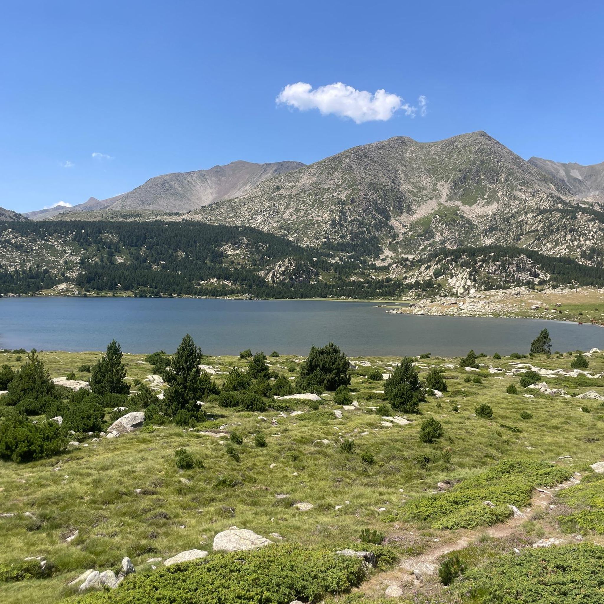
Estany de la Pradella, also called the pond or lake of Pradeilles, is a beautiful mountain lake in the Pyrénées-Orientales. A superb setting for cycling in the heart of nature.
0
0

magnificent landscapes, restoration on the bouillouses
0
0

The Col de la Calvaire de Font Romeu is a mountain pass in French Cerdanya, next to the town and ski resort of Font Romeu. This port connects the Bolquère valley with the Cerdanya valley. The port is within the same town of Font Romeu, next to the station's ski lifts. There are many slopes to reach Col de la Calvaire: - the western slope that starts from Ur is approximately 16 km and crosses the town of Targasone and the Col d'Egat. It is a very steep climb along a road in perfect condition, although on holidays there is a lot of traffic. - The southern slope starts from Llívia and crosses Estavar and joins the previous one at the Col d'Egat. Unlike the first, the first section of the climb is very hard, with several horseshoe curves and with wonderful views of the entire Cerdanya and the Tosa d'Alp. - The eastern slope stops at Olette, and after approximately 28 km it reaches the top of the pass, passing through the town of Mont-Louis and Bolquère. It is a very steep climb, like the first, on a road in perfect condition but with a lot of traffic. I don't like going up here. - the eastern slope that starts from Olette and passes through the Col de la Perche, reaching the town of Font-Romeu and from there to the top. Of all the slopes, the one I like the most is the slope that starts from Llívia and crosses Estavar.
0
0

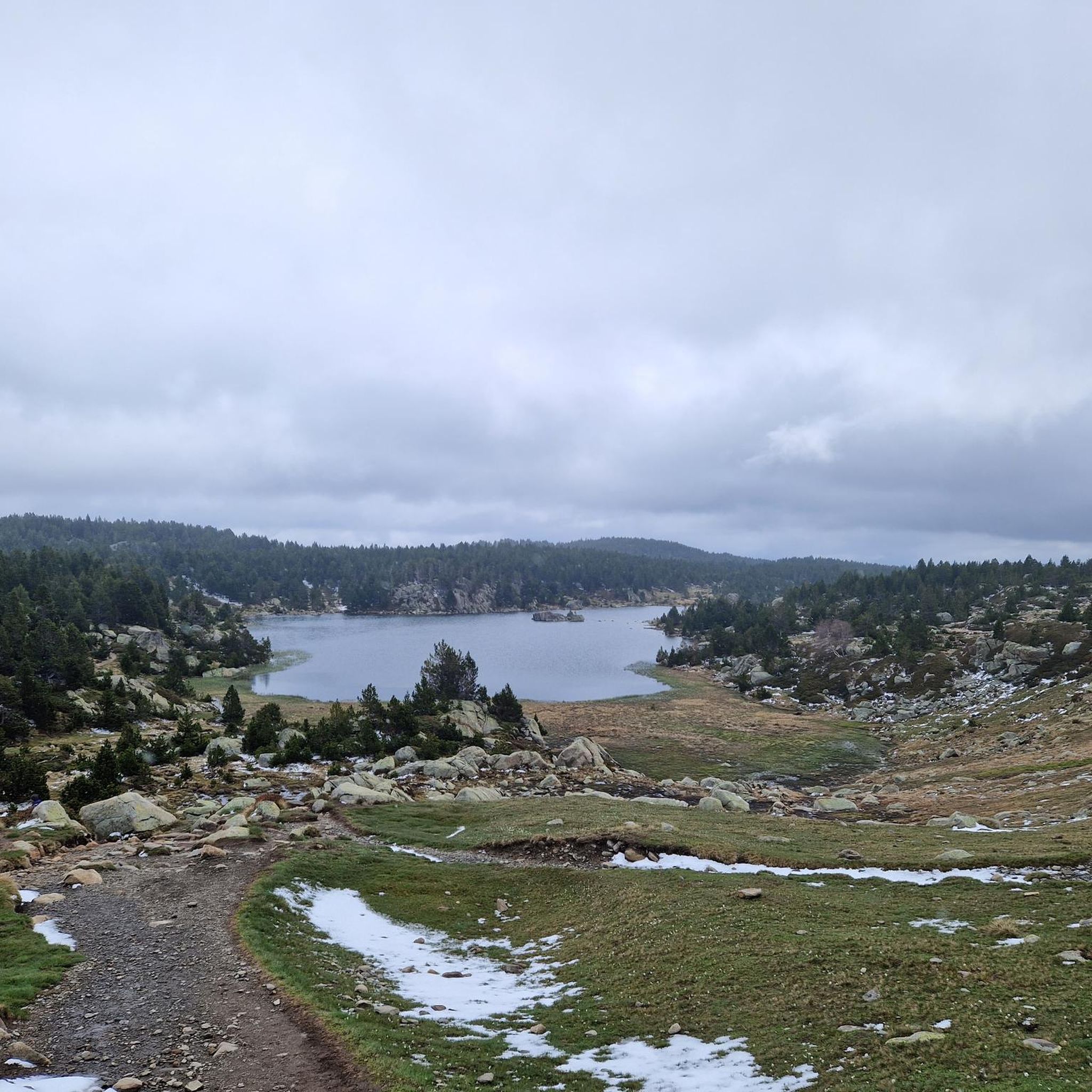
At the crossroads of the snowshoe trails there is a table outside, very practical for sitting when the refuge is closed
0
0

easy and wonderful scenery
1
0
Frequently Asked Questions
How many mountain bike trails are available around Étang De Llat?
There are over 10 mountain bike trails around Étang De Llat, offering a variety of experiences from easy loops to challenging long-distance routes. The komoot community has explored these trails over 1,700 times.
What kind of terrain can I expect on mountain bike trails near Étang De Llat?
The terrain around Étang De Llat is mountainous and diverse, ranging from alpine meadows and high mountain passes to rocky paths and challenging forest trails. You'll encounter significant elevation changes, providing panoramic views of the surrounding peaks and valleys within the Carlit massif.
Are there any easy mountain bike trails suitable for beginners or families?
Yes, there are easy trails available. An excellent option for a more relaxed ride is the ATV snow😂 – Col du Calvaire (Font-Romeu) loop from La Calme, which is an 8.1-mile (13.0 km) path through varied mountain scenery.
What are some challenging mountain bike routes for experienced riders?
For experienced riders seeking a challenge, consider the Pic dels Moros (2,138 m) – Pla de Barrès - 1651 m loop from Parcours Sportif "Paula Radcliffe". This difficult 25.6-mile (41.2 km) trail leads through high mountain passes with significant elevation changes. Another demanding option is the Estany de la Pradella – Pla des Avellans loop from Lac des Bouillouses, a 10.5-mile (16.9 km) difficult trail offering views of alpine lakes.
What is the best time of year for mountain biking around Étang De Llat?
The best time for mountain biking around Étang De Llat is generally during the warmer months, from late spring through early autumn. This period offers more stable weather conditions and clear trails, avoiding snow at higher elevations. Always check local conditions before heading out.
Are there any circular mountain bike routes in the area?
Yes, many of the mountain bike trails around Étang De Llat are circular. For example, the Pla d'Euget – Llobins Shelter loop from Parcours Sportif "Paula Radcliffe" is a moderate 5-mile (8.1 km) loop, and the Lac des Bouillouses – Avenue Emmanuel Brousse loop from Parcours Sportif "Paula Radcliffe" offers a moderate 10.9-mile (17.5 km) ride.
What natural features or attractions can I see while mountain biking near Étang De Llat?
The region is rich in natural beauty. You can expect to see spectacular alpine scenery, numerous high-altitude lakes like Estany Llat and Lac Long de Liat, and dense forests of fir, beech, and oak. The trails often provide impressive views of the surrounding Pyrenean peaks and valleys.
What do other mountain bikers say about the trails in Étang De Llat?
The mountain bike trails around Étang De Llat are highly rated by the komoot community, with an average score of 4.4 stars from over 200 reviews. Riders frequently praise the diverse terrain, the stunning alpine views, and the variety of routes available for different skill levels.
Is it possible to use public transport to access mountain bike trails in the Étang De Llat area?
While direct public transport to every trailhead might be limited due to the mountainous nature of the region, some larger towns in the Val d'Aran, such as Bossòst, are accessible by bus. From there, you might need to arrange local transport or shuttle services, which are popular in the broader Val d'Aran for accessing trails.
Are there any specific permits required for mountain biking in the Étang De Llat region?
Generally, no specific permits are required for mountain biking on established trails in the Étang De Llat area. However, it's always advisable to respect local regulations, especially concerning protected natural areas or private land. For broader regional information, you can consult resources like visitvaldaran.com.
Are there any facilities like cafes or accommodation near the mountain bike trails?
While Étang De Llat itself is a natural area, the surrounding villages and towns in the Cerdagne and Val d'Aran regions offer various facilities. You can find cafes, pubs, and accommodation options in nearby communities, providing places to refuel and rest after your rides.
Most popular routes around Étang De Llat

Get inspired with the komoot mobile app


Explore more
Browse the best MTB trails in other regions.
