The best mountain hikes around Étang De Llat
4.8
(10)
44
hikers
10
hikes
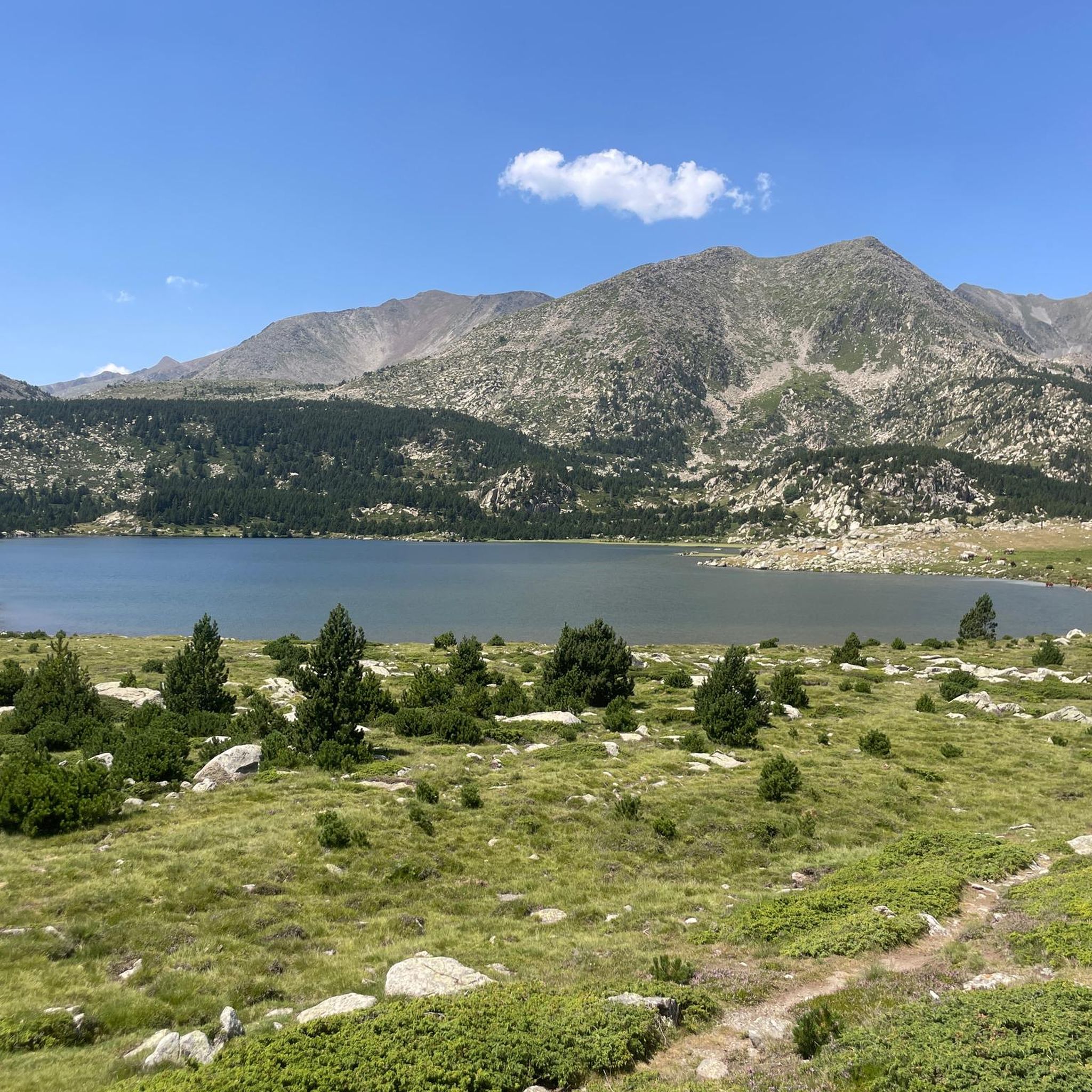
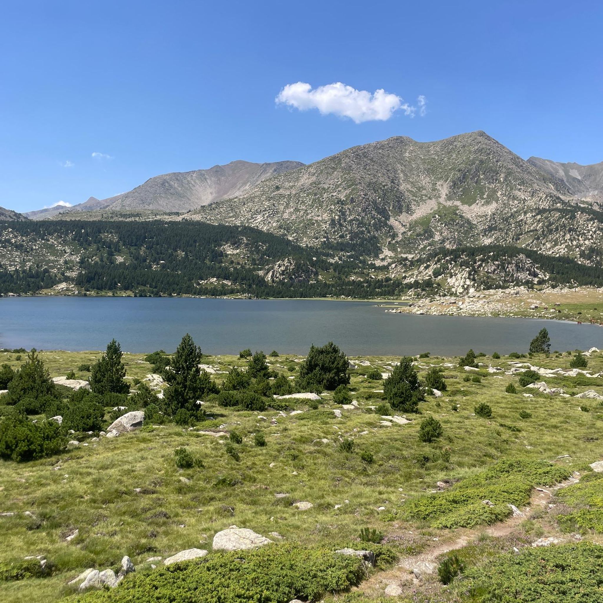
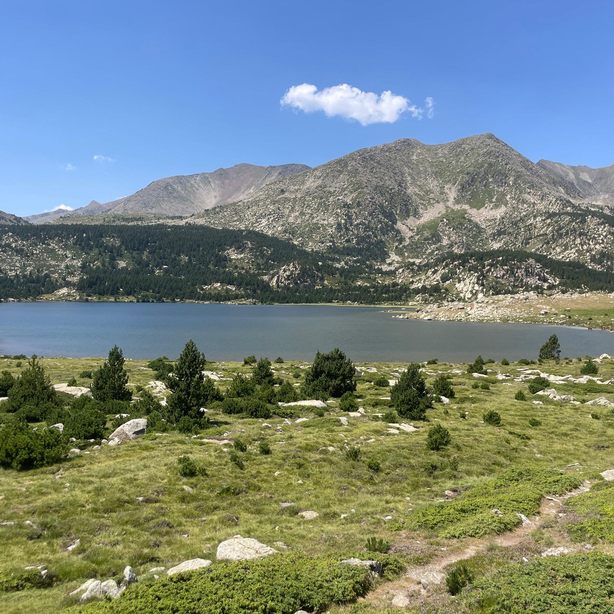
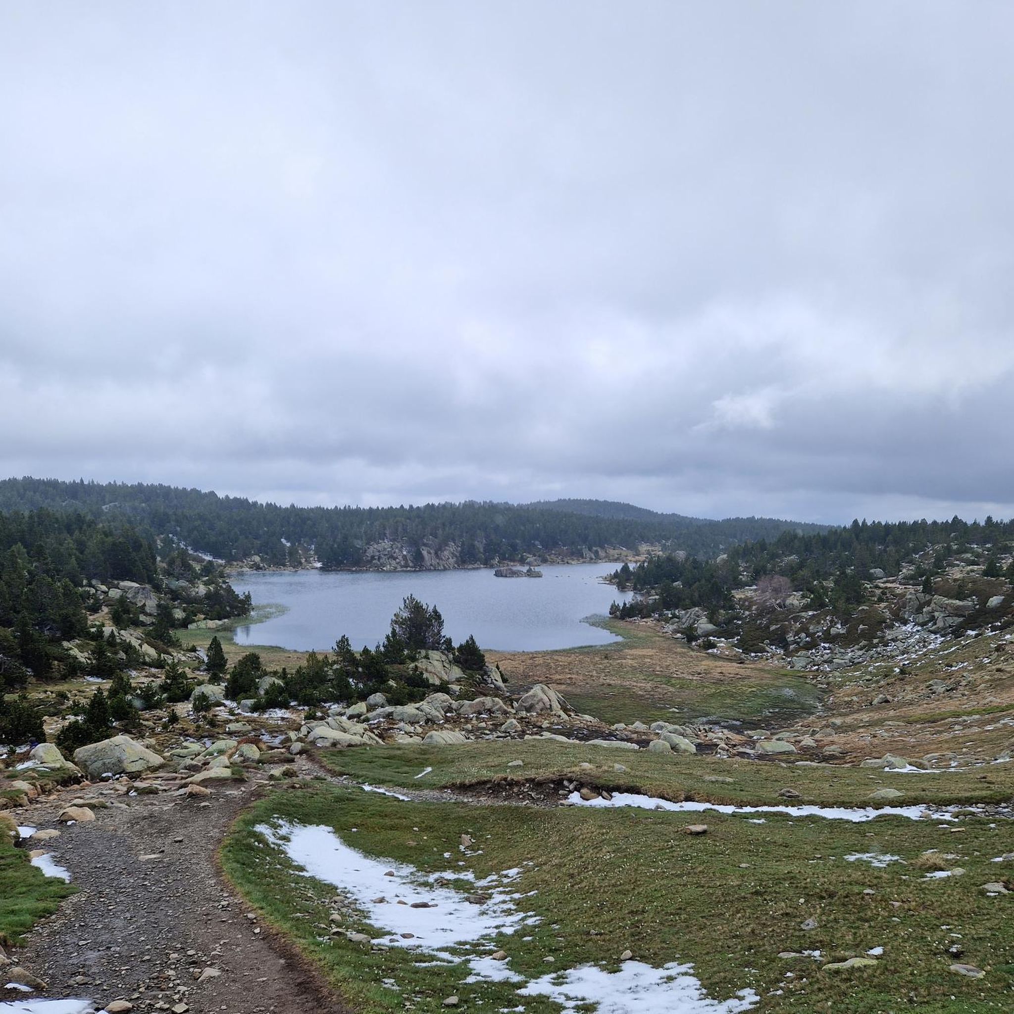
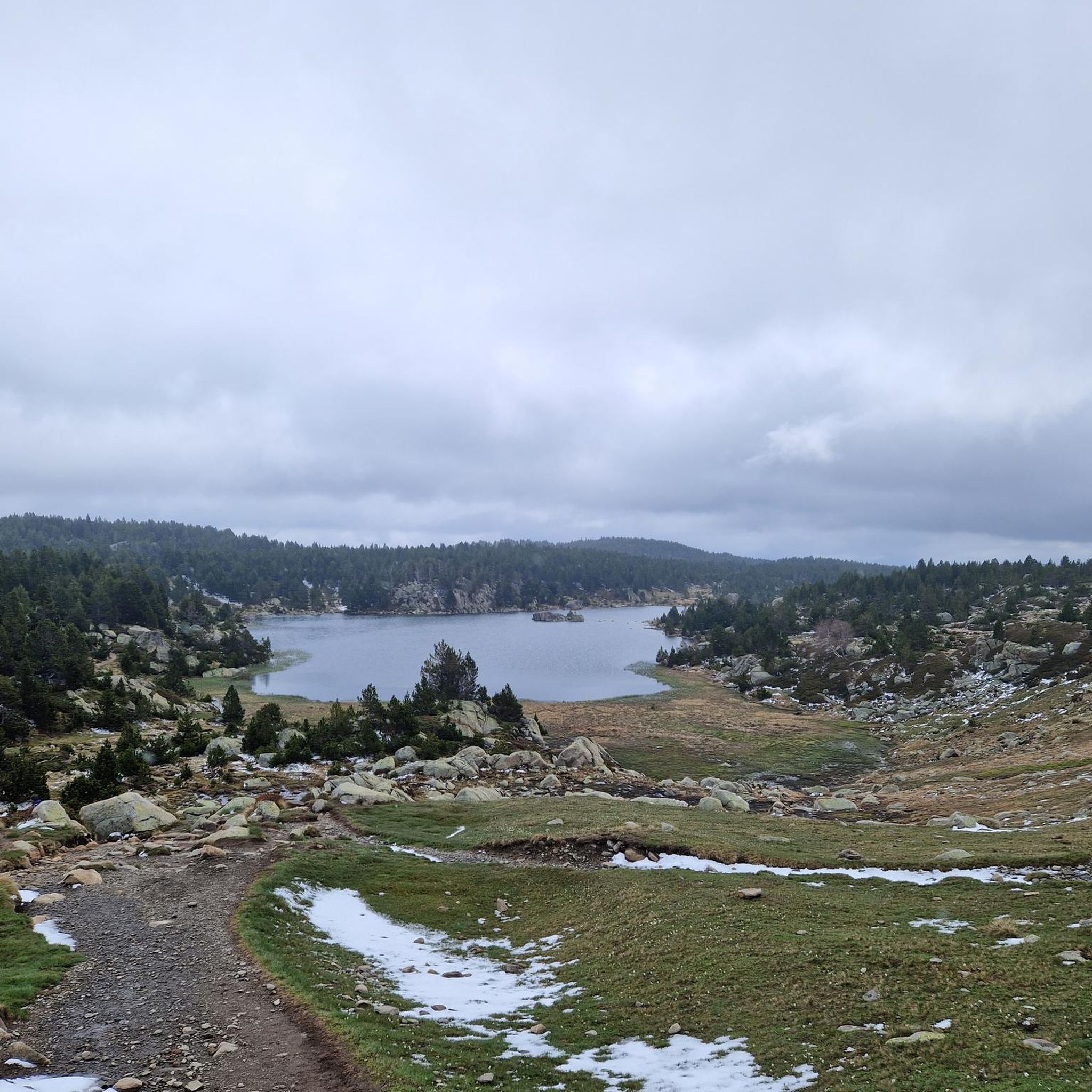
Mountaineering routes around Étang De Llat are set within the dramatic alpine landscapes of the Pyrénées, characterized by high-altitude lakes and challenging terrain. The region features a network of interconnected lakes, including Étang de Llat itself, situated at an elevation of 2174 meters. The surrounding massif, notably Carlit (2921 m), provides a backdrop of pine forests and rocky ascents, offering diverse opportunities for mountaineering.
Best mountaineering routes around Étang De Llat
- The most popular mountaineering route is Les Bones Hores…
Last updated: August 14, 2026
5.0
(2)
8
hikers
8.03km
02:54
260m
260m
Moderate mountaineering route. Good fitness required. Mostly accessible paths. Sure-footedness required.
5.0
(1)
2
hikers
10.9km
03:39
330m
330m
Moderate mountaineering route. Good fitness required. Mostly accessible paths. Sure-footedness required.

Sign up for free
2
hikers
14.2km
04:45
420m
420m
Moderate mountaineering route. Good fitness required. Mostly accessible paths. Sure-footedness required.
4
hikers
12.7km
03:35
270m
270m
Moderate mountaineering route. Good fitness required. Easily-accessible paths. Suitable for all skill levels.
5
hikers
11.1km
03:31
370m
370m
Hard mountaineering route. Good fitness required. Sure-footedness, sturdy shoes and alpine experience required.
Get access to more routes and recommendations from other explorers.
Sign up for free
Already have an account?
Our route recommendations are based on thousands of hikes, rides, and runs completed by other people on komoot.
Start today with a free account
Your next adventure awaits.
Login or Signup

Tips from the Community

More "high mountain" atmosphere than the other lakes in Carlit
0
0

A superb lake reflecting the neighboring peaks. The morning light amplifies this mirror effect.
1
0

Snowshoeing itinerary in the Bulloses area https://www.youtube.com/watch?v=esdackshECU
0
0


At an altitude of 2,330 metres, this lake is located in a dreamlike mountain environment. From there you can see the Carlit peak, the highest point of the massif.
0
0
Estany de la Pradella, also called the pond or lake of Pradeilles, is a beautiful mountain lake in the Pyrénées-Orientales. A superb setting for cycling in the heart of nature.
0
0

Nestled in a glacial basin, this small lake often lies dry in summer, revealing an impressive mineral setting, surrounded by meadows and imposing peaks. The trails leading to the lake offer magnificent views of the surrounding mountains and allow you to enjoy the tranquility of this timeless place.
1
0
Frequently Asked Questions
How many mountaineering routes are available in Étang De Llat?
There are over 10 mountaineering routes around Étang De Llat, offering a variety of experiences for different skill levels. The komoot community has explored these routes over 100 times.
What kind of terrain and natural features can I expect on mountaineering routes in Étang De Llat?
Mountaineering routes in Étang De Llat are set within the dramatic alpine landscapes of the Pyrénées. You'll encounter high-altitude lakes, extensive pine forests, and rocky ascents, particularly around the Carlit massif. The region is characterized by a network of interconnected lakes, including Étang de Llat itself, situated at 2174 meters.
Are there any family-friendly mountaineering options in Étang De Llat?
While many routes are moderate to difficult, there are options suitable for families with some mountaineering experience. For example, the Lake Bouillouses – Lake Bouillousses loop from Lac des Bouillouses is a moderate 11 km trail that can be completed in about 3 hours 41 minutes, offering varied alpine terrain.
What are some moderate mountaineering routes in the Étang De Llat area?
For a moderate challenge, consider the Lac de la Coumasse – View of the lakes loop from Lac des Bouillouses. This 8 km path provides excellent views of the numerous high-altitude lakes in the Angoustrine watershed. Another moderate option is the Sheepfold of the Jasse d'Amunt – Peak of the Moors loop from Pic de la Calma, which is 12.7 km long.
Are there challenging routes for experienced mountaineers in Étang De Llat?
Yes, for experienced mountaineers seeking a significant challenge, the Les Bones Hores Bar & Restaurant – Peak Carlit loop from Lac des Bouillouses is a difficult 15.4 km trail with substantial elevation gain towards the Carlit massif, typically taking almost 7 hours to complete. Another difficult option is the Les Bones Hores Bar & Restaurant – Peak Carlit loop from Pla des Avellans, a longer 24.4 km route with over 1100 meters of elevation gain.
Can I find circular mountaineering routes around Étang De Llat?
Many of the popular mountaineering routes in the area are circular. Examples include the challenging Les Bones Hores Bar & Restaurant – Peak Carlit loop from Lac des Bouillouses and the moderate Lac de la Coumasse – View of the lakes loop from Lac des Bouillouses, both starting from Lac des Bouillouses.
What kind of views or landmarks can I expect to see on these routes?
The routes offer breathtaking alpine scenery, including panoramic views of the Carlit massif, numerous high-altitude lakes, and vast pine forests. You'll experience the dramatic landscapes characteristic of the Pyrénées.
What is the best time of year for mountaineering in Étang De Llat?
The best time for mountaineering in Étang De Llat is typically during the warmer months, from late spring to early autumn, when trails are clear of snow and weather conditions are more stable. This allows for optimal enjoyment of the high-altitude landscapes.
Is parking available near the starting points of the routes?
Many routes, such as those around Lac des Bouillouses, have designated parking areas. It's advisable to check specific route details for parking information, especially during peak season when spaces can fill up quickly.
What do other mountaineers think about the routes in Étang De Llat?
The mountaineering routes in Étang De Llat are highly rated by the komoot community, with an average score of 4.9 stars from more than 10 reviews. Users frequently praise the stunning alpine landscapes, the challenge of the Carlit massif, and the serene beauty of the high-altitude lakes.
Are dogs allowed on the mountaineering trails in Étang De Llat?
While many areas in the Pyrénées are dog-friendly, specific regulations can vary, especially within protected natural parks or reserves. It's always best to check local signage or park authority guidelines for the specific trail you plan to hike to ensure dogs are permitted and if they need to be on a leash.
Where can I find refreshments or accommodation near the routes?
Areas like Lac des Bouillouses, a common starting point for many routes, often have facilities such as bars, restaurants, or refuges. For instance, the Les Bones Hores Bar & Restaurant – Peak Carlit loop explicitly mentions a starting point with amenities. For broader accommodation, nearby towns and villages in the Pyrénées offer various options.
Most popular routes around Étang De Llat

Get inspired with the komoot mobile app


Explore more
Browse the best Mountain Hikes & Routes in other regions.
