Pumpspeicherkraftwerk Mapragg
Pumpspeicherkraftwerk Mapragg
The best cycling routes around Pumpspeicherkraftwerk Mapragg
4.5
(965)
11,868
riders
157
rides
Touring cycling routes around Pumpspeicherkraftwerk Mapragg are characterized by varied terrain, including routes around the Mapragg Reservoir and through the Taminatal valley. The region features significant elevation changes, with trails ascending to passes like Kunkel Pass and offering views of the Tamina Bridge. Cyclists can expect a mix of reservoir-side paths, valley routes, and climbs through the surrounding landscape.
Best touring cycling routes around Pumpspeicherkraftwerk Mapragg
- The most popular touring cycling route is Mapragg Reservoir – Mapragg Reservoir / Power…
Last updated: September 28, 2026
6
riders
22.7km
02:13
930m
930m
Hard bike ride. Very good fitness required. Mostly paved surfaces. Suitable for all skill levels.
5.0
(1)
17
riders
22.2km
01:41
510m
510m
Hard bike ride. Very good fitness required. Mostly paved surfaces. Suitable for all skill levels.

5.0
(1)
9
riders
12.6km
01:06
450m
450m
Hard bike ride. Very good fitness required. Mostly paved surfaces. Suitable for all skill levels.
4.5
(2)
83
riders
59.5km
05:02
1,950m
1,950m
Hard bike ride. Very good fitness required. Mostly paved surfaces. Suitable for all skill levels.
48
riders
24.8km
01:51
500m
500m
Hard bike ride. Very good fitness required. Mostly paved surfaces. Suitable for all skill levels.
Get access to more routes and recommendations from other explorers.
Already have an account?
Our route recommendations are based on thousands of hikes, rides, and runs completed by other people on komoot.
Start today with a free account
Your next adventure awaits.
Popular around Pumpspeicherkraftwerk Mapragg

Tips from the Community

Bad Ragaz is a beautiful, small town from which you can hike into the Tamina Gorge. https://de.wikipedia.org/wiki/Bad_Ragaz
0
0

Traffic-free road from here to Bad Ragaz, great cycling route
0
0

There's no car traffic on this road. There's still an incline.
0
0

A place of power in a special class
0
0

Ruinaulta Rhine Gorge The Ruinaulta, or Rhine Gorge, is a gorge of the Vorderrhein River, up to 400 meters deep and approximately 13 kilometers long, between Ilanz and the mouth of the Hinterrhein River near Reichenau in the canton of Graubünden in Switzerland. The Romansh name 'Ruinaulta' is composed of the two words ruina (scree slope, quarry) and aulta (high). The Ruinaulta was formed after the Flims Landslide almost 10,000 years ago. At that time, over 10 billion cubic meters of rock broke off between the Flimserstein and Piz Grisch, burying the Vorderrhein Valley between the present-day villages of Castrisch and Reichenau under a mass of debris several hundred meters thick. Because the Vorderrhein River could no longer drain away, a lake was dammed over a length of approximately 25 kilometers. Over time, the river cut deep into the landslide, and the resulting lake drained away completely. What remained was the Ruinaulta, with its steep limestone scree cliffs in impressive erosion formations. Text / Source: Wikipedia https://de.wikipedia.org/wiki/Ruinaulta
16
0
Confluence of the Vorderrhein and Hinterrhein, Reichenau Dominated by Reichenau Castle, the hamlet lies at the confluence of the Vorderrhein and Hinterrhein rivers, making it virtually the birthplace of the Rhine. It all began 10,000 years ago. Between the Flimserstein (a high plateau) and Piz Grisch, over 10,000 cubic meters of rock broke off and thundered down into the valley. Towards Reichenau, the Vorderrhein valley disappears under a gigantic mass of rubble. From there, the Rhine diligently ate its way through the rock, creating the spectacular Swiss "Grand Canyon" – the Ruinaulta. Text / Source: myswitzerland.com https://www.myswitzerland.com/de-ch/erlebnisse/route/vom-zusammenfluss-der-rheine-in-die-rheinschlucht/
16
0

Beautiful village with two golf courses, an outdoor swimming pool, a campsite, and various restaurants and hotels. Plenty of culture and health.
0
0

Frequently Asked Questions
What is the general difficulty level of touring cycling routes around Pumpspeicherkraftwerk Mapragg?
The touring cycling routes in the Pumpspeicherkraftwerk Mapragg region offer a varied experience. While there are 36 easy routes suitable for casual rides, the area also features 52 moderate and 77 difficult routes, often involving significant elevation changes, such as climbs to passes like Kunkel Pass. Cyclists should be prepared for diverse terrain.
Are there easy touring cycling routes suitable for beginners or families?
Yes, the region offers 36 easy touring cycling routes. While specific family-friendly routes aren't detailed, easier paths generally follow reservoir-side trails or less strenuous valley sections. For a moderate option that is not overly long, consider the Valens Old Sawmill Museum – Tamina Bridge loop from Valens, which is 7.7 miles (12.4 km) and takes about 1 hour 5 minutes.
Are there any circular touring cycling routes around the Mapragg Reservoir?
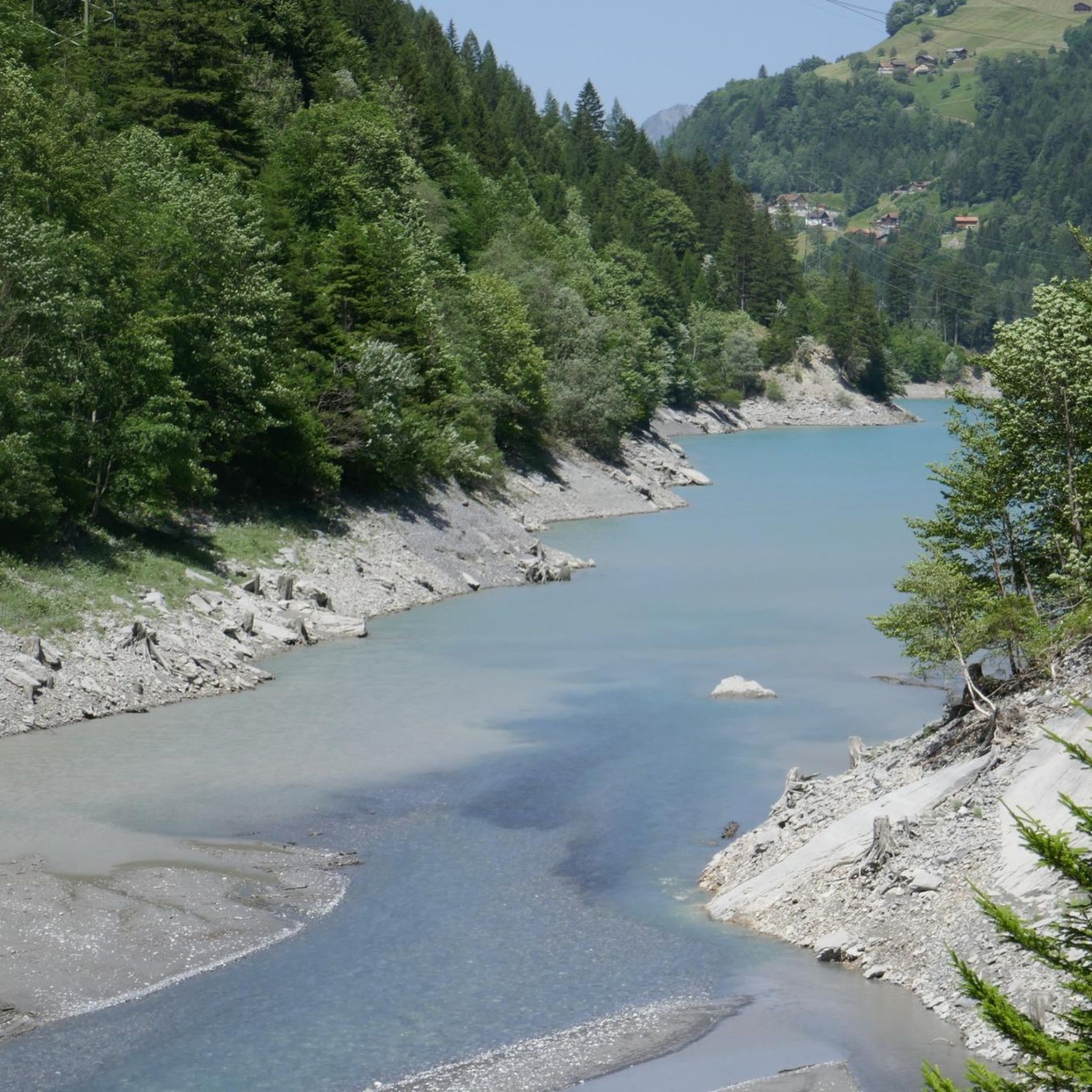
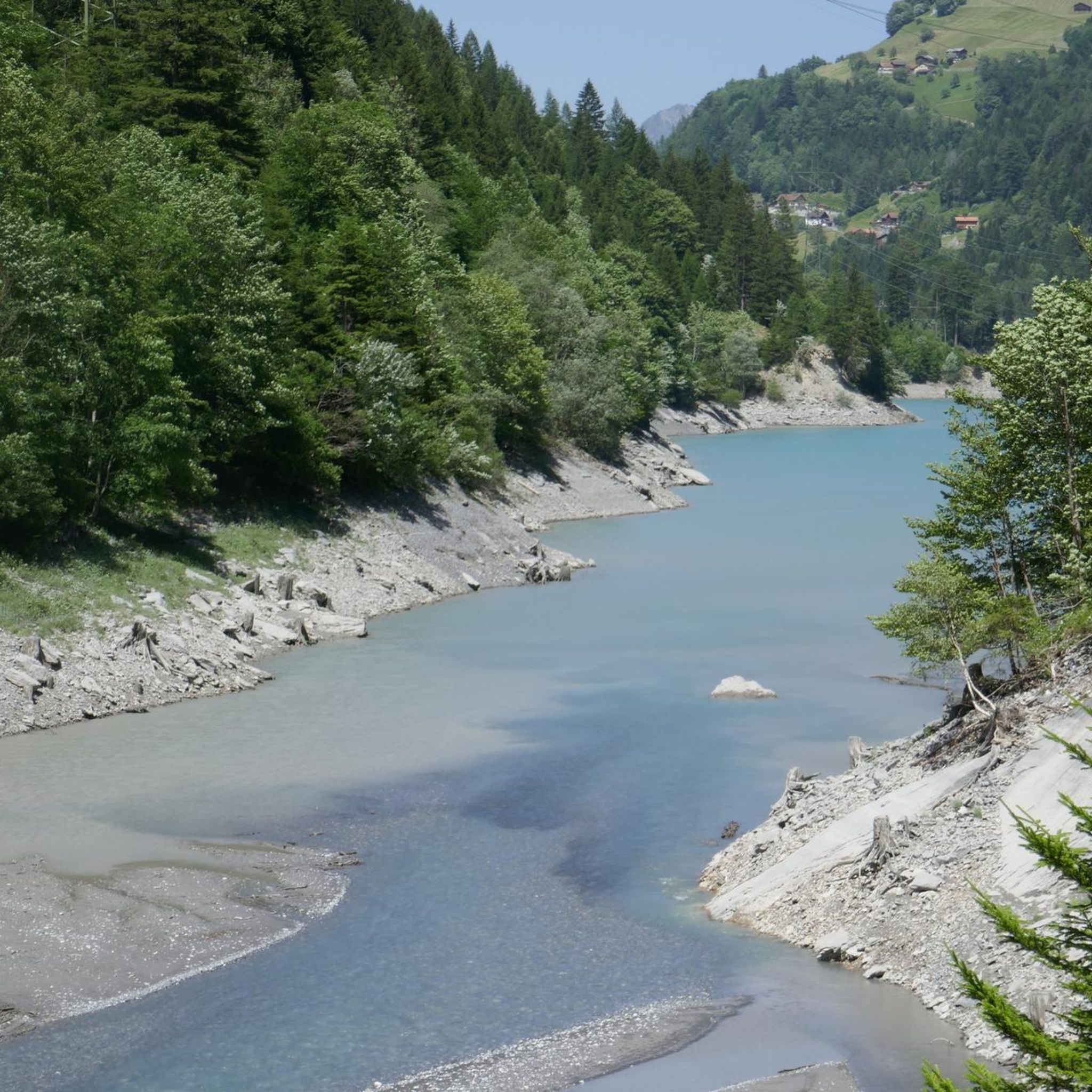
Yes, there are circular routes that allow you to experience the Mapragg Reservoir. A notable option is the Mapragg Reservoir – Mapragg Reservoir / Power Plant loop from Taminatal. This route is 14.4 miles (23.2 km) and features substantial climbs as it circles the reservoir and power plant.
What scenic viewpoints or landmarks can I expect to see along the touring cycling routes?
Many routes offer impressive views and pass by significant landmarks. You can expect to see the impressive Tamina Bridge, the Saarfall waterfall, and the Mapragg Reservoir itself. Routes like the Saarfall – View of Tamina Bridge loop from Valens specifically highlight these features, providing scenic vistas with notable elevation gains.
What is the best time of year for touring cycling around Pumpspeicherkraftwerk Mapragg?
The best time for touring cycling in the Pumpspeicherkraftwerk Mapragg region is typically from late spring through early autumn (May to October). During these months, the weather is generally more stable, and mountain passes like Kunkel Pass are usually clear of snow, offering optimal conditions for exploring the varied terrain.
Where can I find parking when cycling around Pumpspeicherkraftwerk Mapragg?
While specific parking locations are not detailed for each route, starting points for many tours, such as those from Taminatal or Valens, often have designated parking areas for visitors. It's advisable to check local signage or use navigation apps for parking options near your chosen starting point.
Is Pumpspeicherkraftwerk Mapragg accessible by public transport for cyclists?
The region around Pumpspeicherkraftwerk Mapragg is generally accessible by public transport, particularly to towns like Valens or Bad Ragaz, which serve as common starting points for cycling routes. From these locations, you can often connect to the trailheads. Cyclists should check local bus or train schedules for routes that accommodate bicycles.
Are there places to eat and drink along the touring cycling routes?
Yes, depending on your chosen route, you will find opportunities for refreshments. Routes passing through or near villages like Valens or Vättis, or along more frequented paths, often have cafes, restaurants, or guesthouses where you can stop for a meal or a drink. It's always a good idea to carry some snacks and water, especially on longer or more remote sections.
What essential gear should I bring for a touring cycling trip in this region?
Given the varied terrain and potential for significant elevation changes, essential gear includes a well-maintained touring bicycle, appropriate cycling attire (layers are recommended), a helmet, repair kit, plenty of water, and snacks. For longer routes or those in higher elevations, consider bringing navigation tools, sun protection, and rain gear, as weather can change quickly.
How many touring cycling routes are available in Pumpspeicherkraftwerk Mapragg?
There are over 160 touring cycling routes available around Pumpspeicherkraftwerk Mapragg. This extensive network provides a wide range of options for cyclists of all abilities, from leisurely rides to challenging mountain passes.
What do other touring cyclists enjoy the most about touring cycling in Pumpspeicherkraftwerk Mapragg?
The area is highly rated by the komoot community, with an average score of 4.6 stars from over 700 reviews. Reviewers often praise the diverse landscapes, including reservoir-side paths and challenging climbs, as well as the scenic views of landmarks like the Tamina Bridge and Saarfall. The variety of routes catering to different skill levels is also frequently highlighted.
Are there any longer, more challenging touring cycling routes for experienced cyclists?
Experienced cyclists will find plenty of challenging options. For instance, the Kunkel Pass – Kunkels Pass Tunnel loop from Vättis is a difficult 37-mile (59.6 km) route with nearly 2,000 meters of elevation gain, offering a substantial test of endurance and rewarding views.
Most popular routes around Pumpspeicherkraftwerk Mapragg

Get inspired with the komoot mobile app


Explore more
Browse the best Cycling routes in other regions.
