Pumpspeicherkraftwerk Mapragg
Pumpspeicherkraftwerk Mapragg
The best mountain hikes around Pumpspeicherkraftwerk Mapragg
5.0
(5)
87
hikers
3
hikes
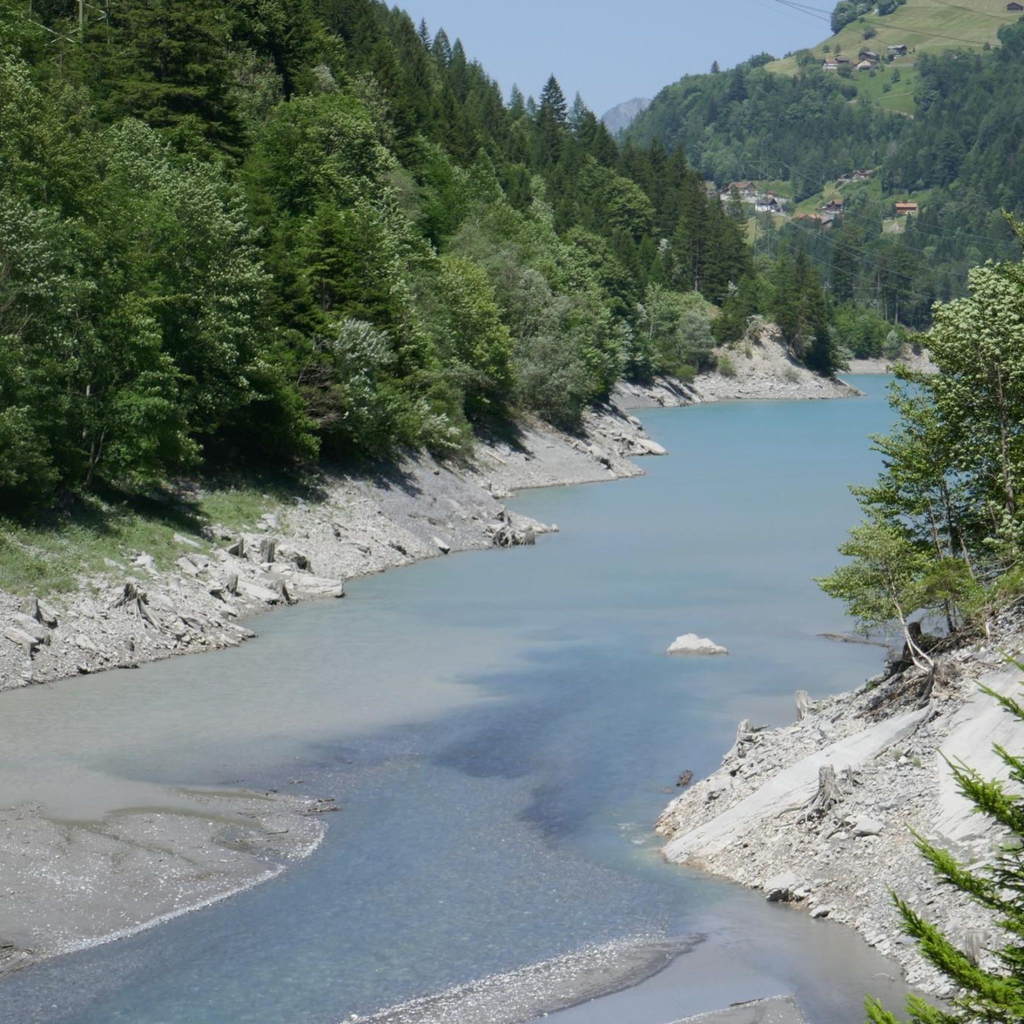
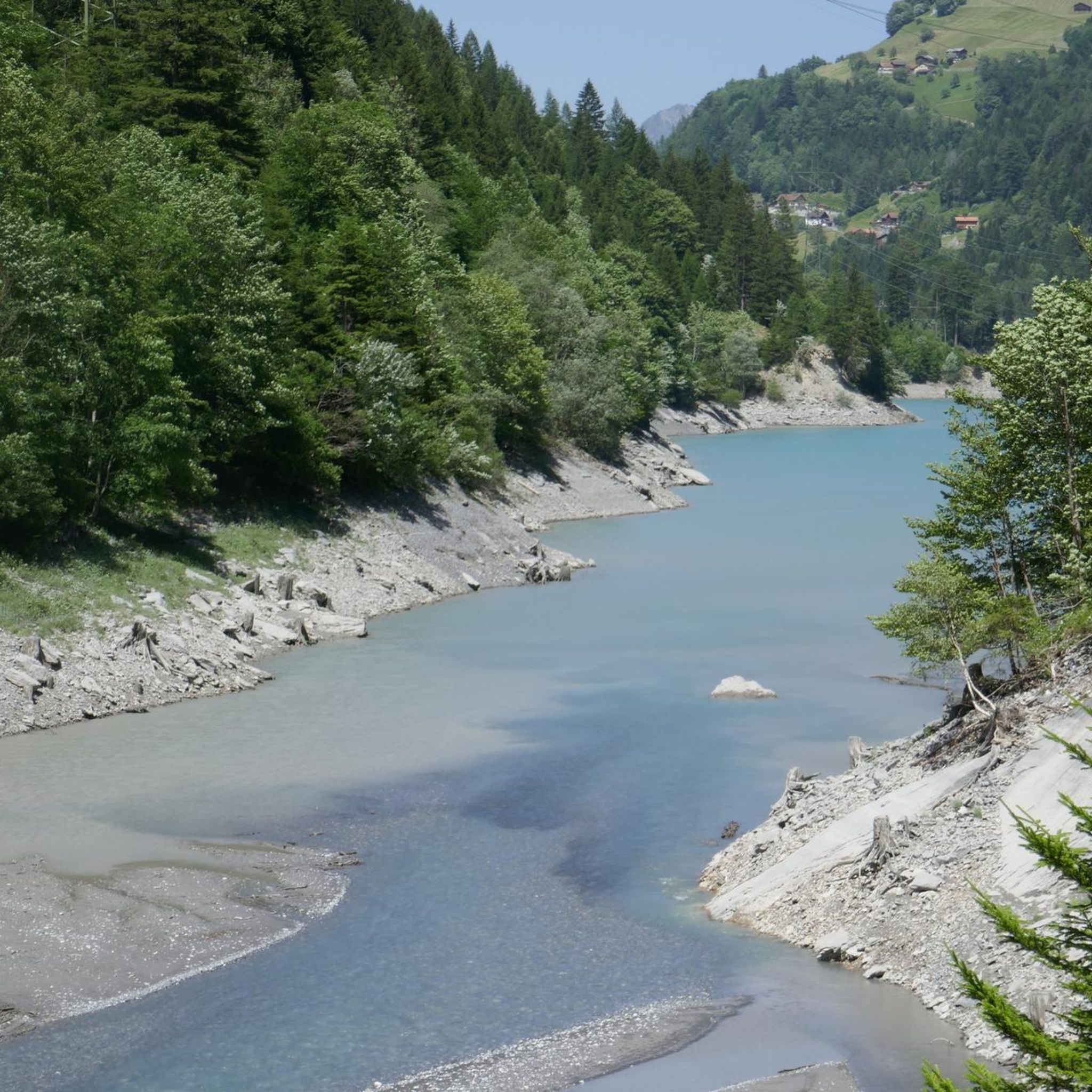
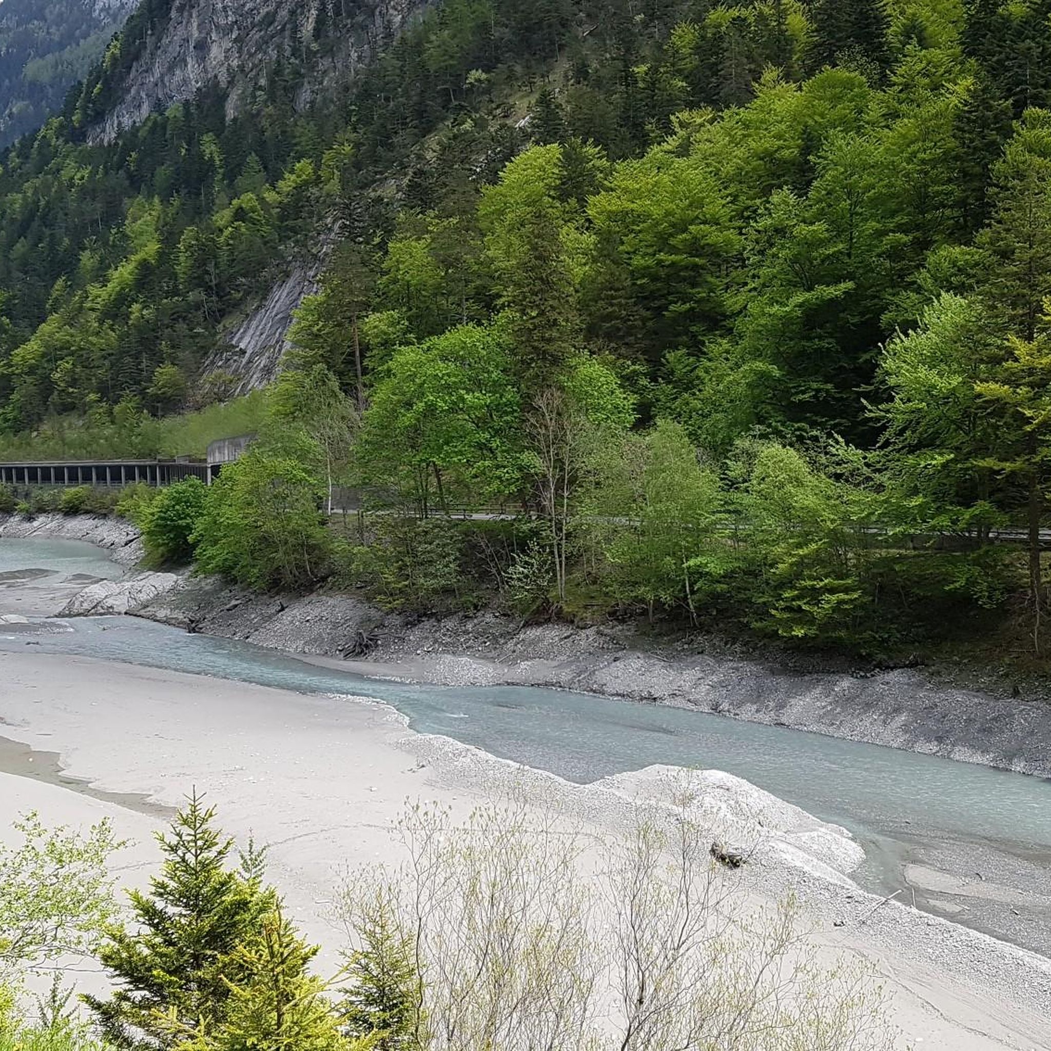
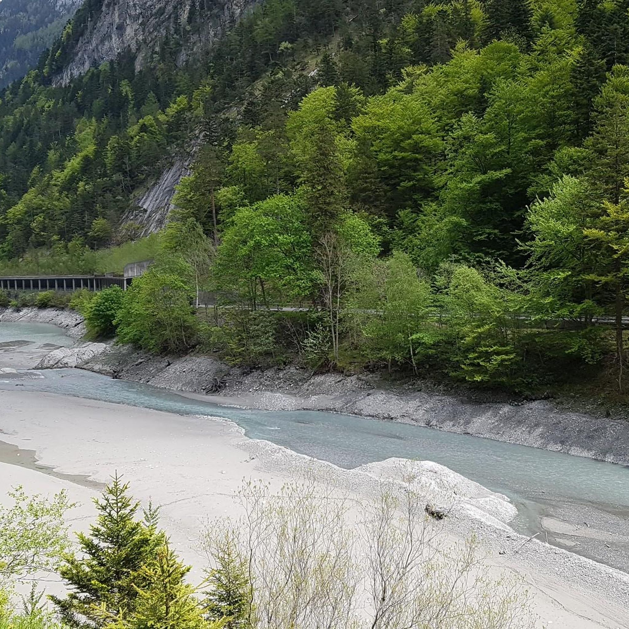
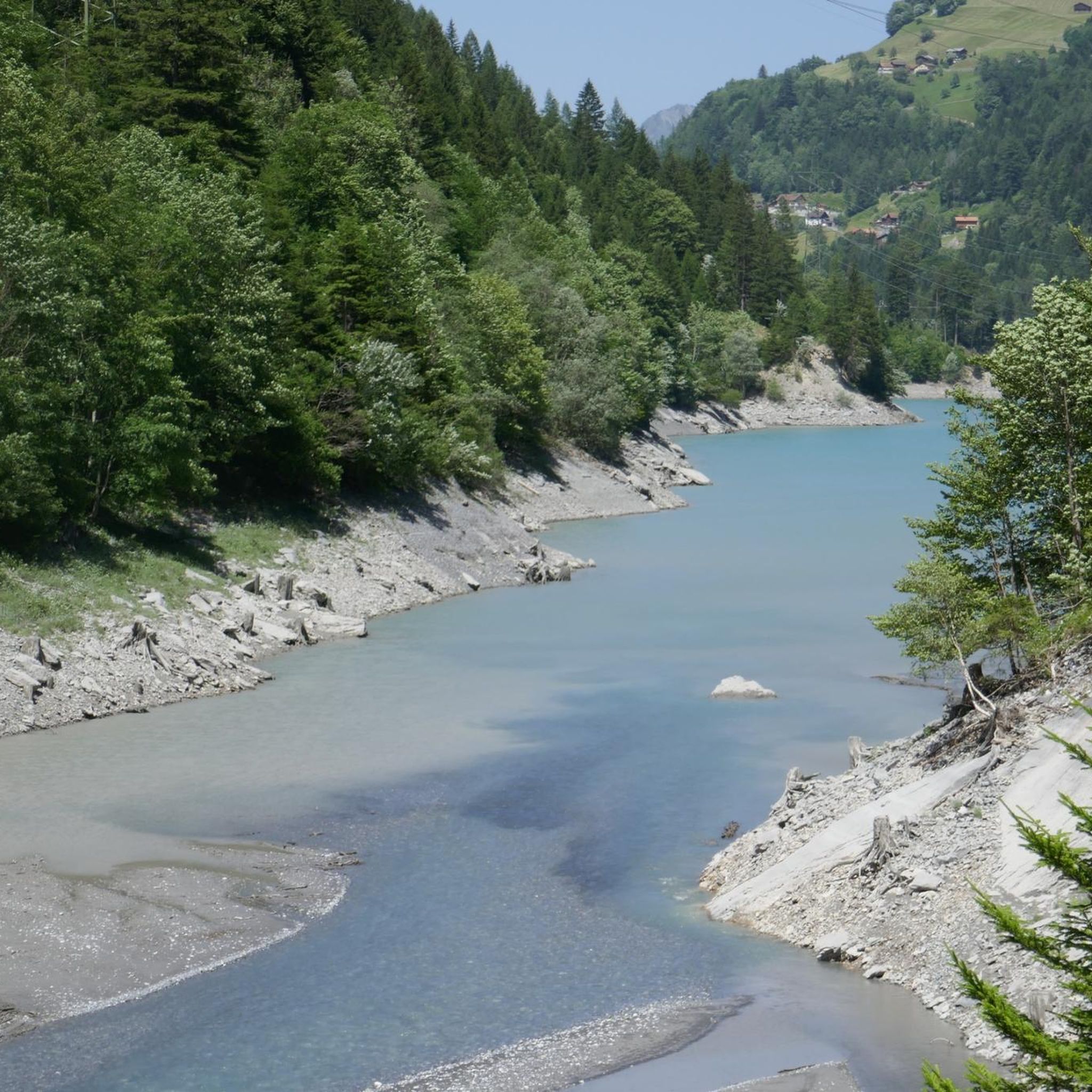
Mountaineering around Pumpspeicherkraftwerk Mapragg offers diverse alpine scenery in the Canton of St. Gallen, Switzerland. The region is characterized by its magnificent alpine landscapes, including the picturesque Mapragg Reservoir and the Tamina Valley, with natural paths winding through forests and along the Tamina river. Rugged limestone walls, such as those near the Gigerwald reservoir, rise to nearly 2,000 meters, providing a challenging backdrop for routes that demand alpine experience. Elevated points like Muntaluna Summit offer expansive panoramic views of the…
Last updated: October 10, 2026
25
hikers
12.9km
06:56
1,020m
1,020m
Hard mountaineering route. Very good fitness required. Sure-footedness, sturdy shoes and alpine experience required.
2
hikers
13.9km
04:40
670m
670m
Moderate mountaineering route. Good fitness required. Easily-accessible paths. Suitable for all skill levels.

5.0
(3)
31
hikers
11.3km
05:39
710m
710m
Hard mountaineering route. Very good fitness required. Sure-footedness, sturdy shoes and alpine experience required.
5.0
(2)
15
hikers
11.0km
03:58
590m
590m
Hard mountaineering route. Good fitness required. Sure-footedness, sturdy shoes and alpine experience required.
9
hikers
8.68km
03:18
590m
590m
Moderate mountaineering route. Good fitness required. Easily-accessible paths. Suitable for all skill levels.
Our route recommendations are based on thousands of hikes, rides, and runs completed by other people on komoot.
Start today with a free account
Your next adventure awaits.
Popular around Pumpspeicherkraftwerk Mapragg
Tips from the Community

Great view of the Pizol summit!
0
0

Regitzer Spitz 1135 m above sea level, Fläsch At 1135 m above sea level, the Regitzer Spitz is the main peak of the Fläscherberg range in the Swiss canton of Graubünden. It is the westernmost spur of the Rätikon range. The mountain lies within the municipality of Fläsch, with the village located slightly south between Regitzer Spitz and the Rhine to the west. The northern foot of the Fläscherberg forms the state and national border with the Principality of Liechtenstein. The latter's territory on the Fläscherberg never reaches higher than 660 meters, which is only 200 meters above the valley floor near Balzers. Text / Source: Wikipedia https://de.wikipedia.org/wiki/Regitzer_Spitz
16
1

The first lake on the 5-lake hike is not even signposted from the Pizolhütte, but it is worth a visit.
0
0
Pizolhütte at 2,222 m above sea level. The cozy Pizolhütte is located at 2,222 m above sea level and impresses with its wonderful view of the mountain panorama. The Pizolhütte is located on the high plateau of the Pizol ski and hiking area, on the Pizol Panorama Höhenweg, in the immediate vicinity of the Wangsersee and at the starting point of the famous 5-lake hike. Located directly at the mountain station of the chairlift of the same name, the hut is also the ideal starting point for fast ski runs. The Pizolhütte team will spoil you both inside and outside on the beautiful terrace with food and drink in new and well-known variations. Text / Source: Pizolbahnen AG, Loisstrasse 50, 7310 Bad Ragaz https://pizol.com/gastrobetriebe/pizolhuette/
4
1
Pizolhütte is located at 2,222 m above sea level. The cozy Pizolhütte is located at 2,222 m above sea level and impresses with its wonderful view of the mountain panorama. The Pizolhütte is located on the high plateau of the Pizol ski and hiking area, on the Pizol Panorama Höhenweg, in the immediate vicinity of Wangsersee and at the starting point of the famous 5-lake hike. Located directly at the mountain station of the chairlift of the same name, the hut is also the ideal starting point for fast ski runs. The Pizolhütte team will spoil you both inside and outside on the beautiful terrace with food and drink in new and well-known variations. Text / Source: Heidiland Tourism https://outdoor.heidiland.com/de/gastro/heidiland/bergrestaurant-pizolhuette/55301474/?utm_medium=referral&utm_source=embed&utm_campaign=embed-plugin-referral&utm_term=https%3A%2F%2Fpizol.com%2F
14
0

A very popular ski tour summit, although most people only go as far as the saddle. The ascent to the summit sometimes requires crampons and an ice axe, especially when the safety ropes are still covered in snow. When there is good snow to walk on, like today, you can do without. However, the path is exposed. Great view from the summit cross.
0
0
Photo Spot Grand Tour of Switzerland, Pizol The famous Grand Tour of Switzerland also passes by the Pizol! The Pizol was chosen as one of 40 photo spots for the Grand Tour of Switzerland. The photo spot with a view of the Pizol summit is set up at the “Tagweidlichopf” viewing point on the Pizol Panorama Höhenweg. Text / Source: Pizolbahnen AG, Loisstrasse 50, Bad Ragaz https://pizol.com/erlebnisse/foto-spot-grand-tour-of-switzerland/
14
0
Frequently Asked Questions
How many mountaineering routes are available around Pumpspeicherkraftwerk Mapragg?
Komoot features a curated selection of 5 mountaineering routes around Pumpspeicherkraftwerk Mapragg, offering diverse challenges for alpine enthusiasts. These include 2 moderate and 3 difficult routes.
What kind of terrain can I expect on mountaineering routes in this region?
The terrain around Pumpspeicherkraftwerk Mapragg is characterized by magnificent alpine scenery, including the picturesque Mapragg Reservoir and the natural paths of the Tamina Valley. You'll encounter rugged limestone walls, especially near the Gigerwald reservoir, and enjoy panoramic views of the surrounding Alps, such as the Calanda massif and Churfirsten mountain range. Routes often traverse a blend of scenic meadows and forests.
Are there any moderate mountaineering routes suitable for those building experience?
Yes, there are moderate routes available. For instance, the Viltersersee – Grand Tour Viewpoint Pizol Summit loop from Pardiel is a moderate 10.6 km path, typically taking under 4 hours. Another excellent moderate option is the Pizolhütte Mountain Restaurant – Vilterser Seeli loop from Pardiel, which covers 13.8 km and usually takes around 4 hours 39 minutes.
Which routes offer the most challenging mountaineering experiences?
For those seeking a significant challenge, the region offers several difficult routes. The Calanda Hut – Calanda Summit loop from Hintere Alp is a demanding 13 km trail with substantial elevation gain, taking nearly 7 hours. Another difficult option is the Wildsee – Schotten Lake loop from Pizolhütte, which leads through high alpine terrain over 12.1 km.
What do other mountaineers say about the routes around Pumpspeicherkraftwerk Mapragg?
The mountaineering routes in this area are highly regarded by the komoot community, boasting an impressive average rating of 4.9 stars from over 16 reviews. Many users praise the stunning alpine scenery, the challenging nature of the trails, and the rewarding panoramic views from elevated points like Muntaluna Summit.
Are there any circular mountaineering routes in the area?
Yes, many of the mountaineering routes around Pumpspeicherkraftwerk Mapragg are designed as loops, allowing you to start and finish at the same point. Examples include the challenging Calanda Hut – Calanda Summit loop from Hintere Alp and the moderate Pizolhütte Mountain Restaurant – Vilterser Seeli loop from Pardiel.
What are some notable natural features or landmarks to look out for?
The region is rich in natural beauty. You'll encounter the serene Mapragg Reservoir, the vibrant Tamina Valley, and the dramatic Gigerwald reservoir nestled among rugged limestone walls. Elevated points like Muntaluna Summit are renowned for their 'gigantic' panoramic views of the Alps, including the Calanda massif and Churfirsten mountain range.
What is the best time of year for mountaineering in this region?
While specific seasonal data isn't provided, mountaineering in the Swiss Alps is generally best enjoyed from late spring to early autumn (June to September) when trails are typically free of snow and weather conditions are more stable. Always check local weather forecasts and trail conditions before heading out, especially for higher alpine routes.
Are there any routes that offer spectacular lake views?
Absolutely. The region features several stunning alpine lakes. The difficult Wildsee – Schotten Lake loop from Pizolhütte is specifically highlighted for its stunning lake views. You'll also encounter the picturesque Mapragg Reservoir and the Gigerwald reservoir, which are central to the area's landscape.
What level of fitness and experience is required for these mountaineering routes?
The routes vary in difficulty. Moderate trails require a good level of fitness, while difficult routes demand 'very good fitness,' sure-footedness, sturdy shoes, and alpine experience. Some ascents, like to Muntaluna Summit, feature steep, narrow, and varied paths, requiring comfort with heights.
Can I find routes that offer views of the Calanda massif?
Yes, the Calanda massif is a prominent feature of the regional landscape. The Calanda Hut – Calanda Summit loop from Hintere Alp offers direct panoramic views of the Calanda massif, making it an excellent choice for experiencing this impressive mountain range.
Are there any routes that pass by mountain restaurants or huts?
Yes, some routes incorporate mountain facilities. For example, the Pizolhütte Mountain Restaurant – Vilterser Seeli loop from Pardiel starts near the Pizolhütte Mountain Restaurant, offering a convenient starting or resting point.
Most popular routes around Pumpspeicherkraftwerk Mapragg

Get inspired with the komoot mobile app


Explore more
Browse the best Mountain Hikes & Routes in other regions.
