Pumpspeicherkraftwerk Mapragg
Pumpspeicherkraftwerk Mapragg
The best road cycling routes around Pumpspeicherkraftwerk Mapragg
4.3
(258)
6,121
riders
44
rides
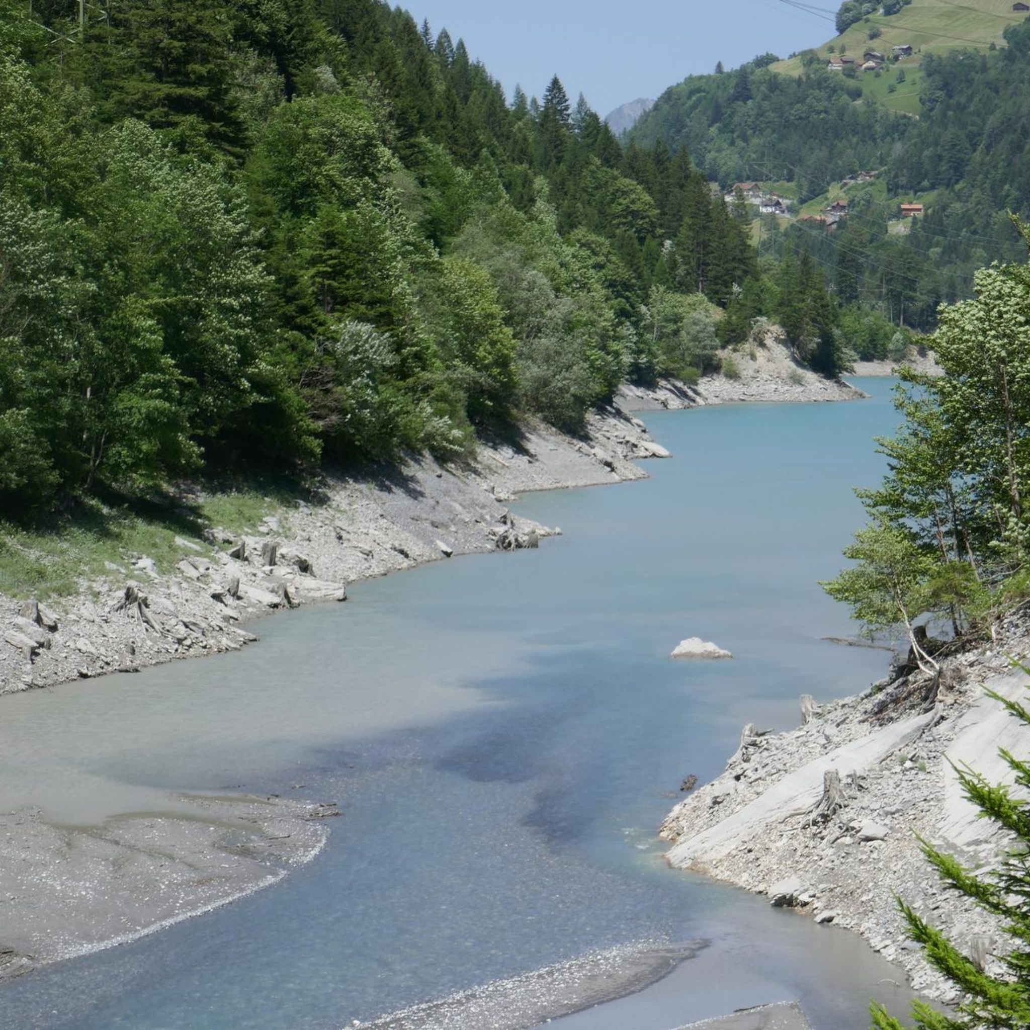
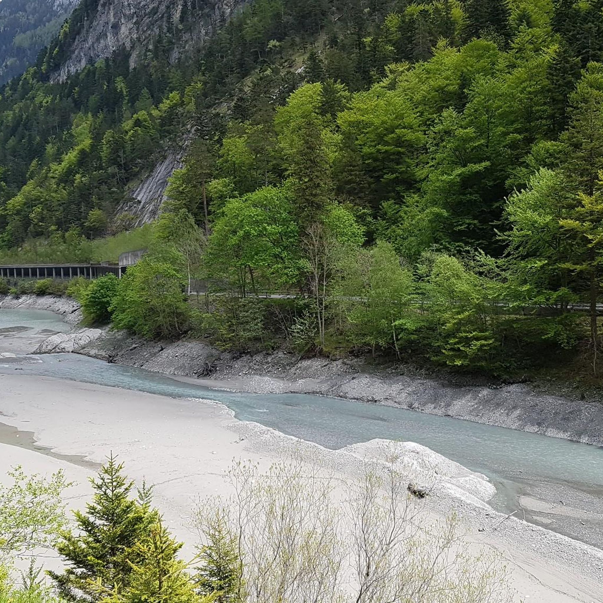
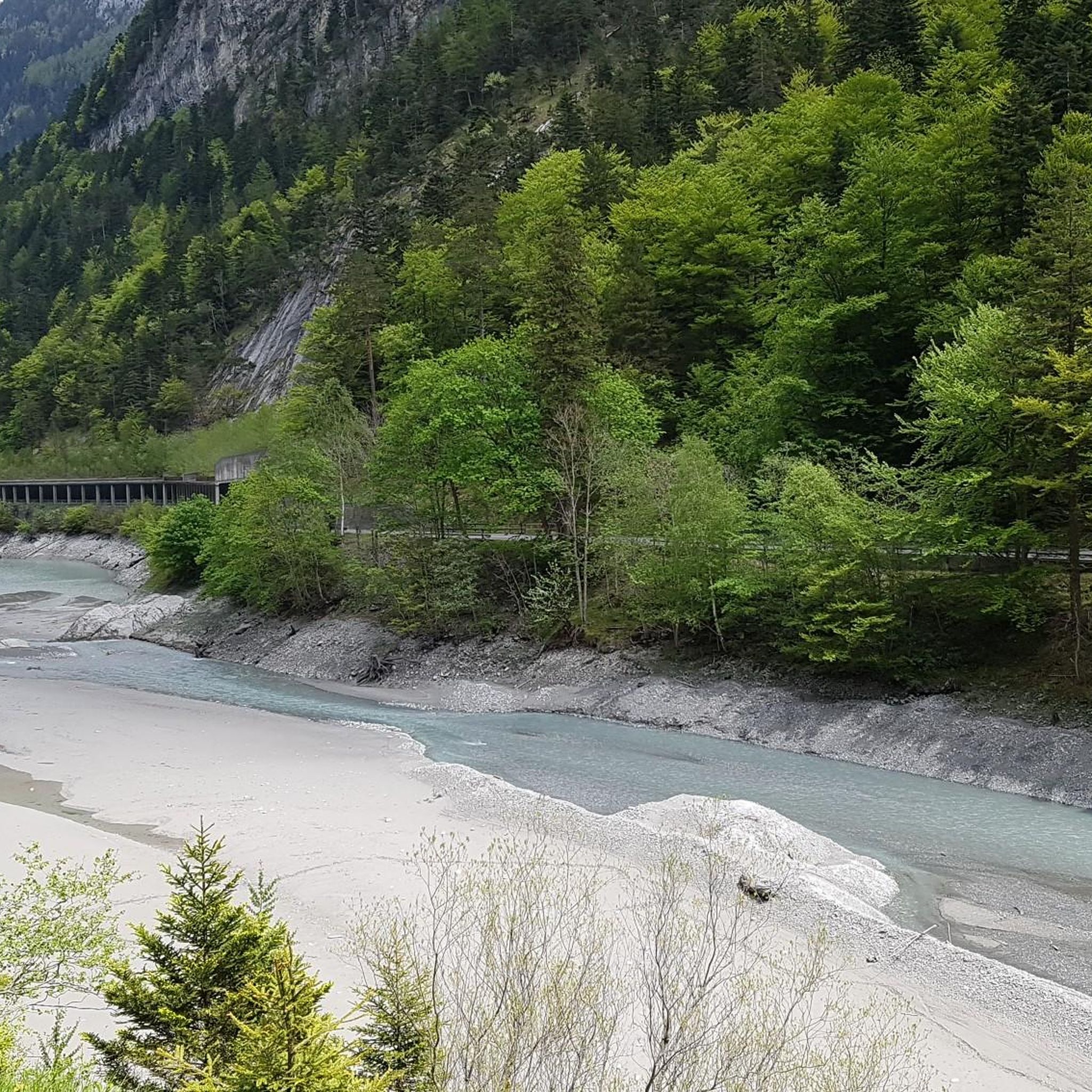
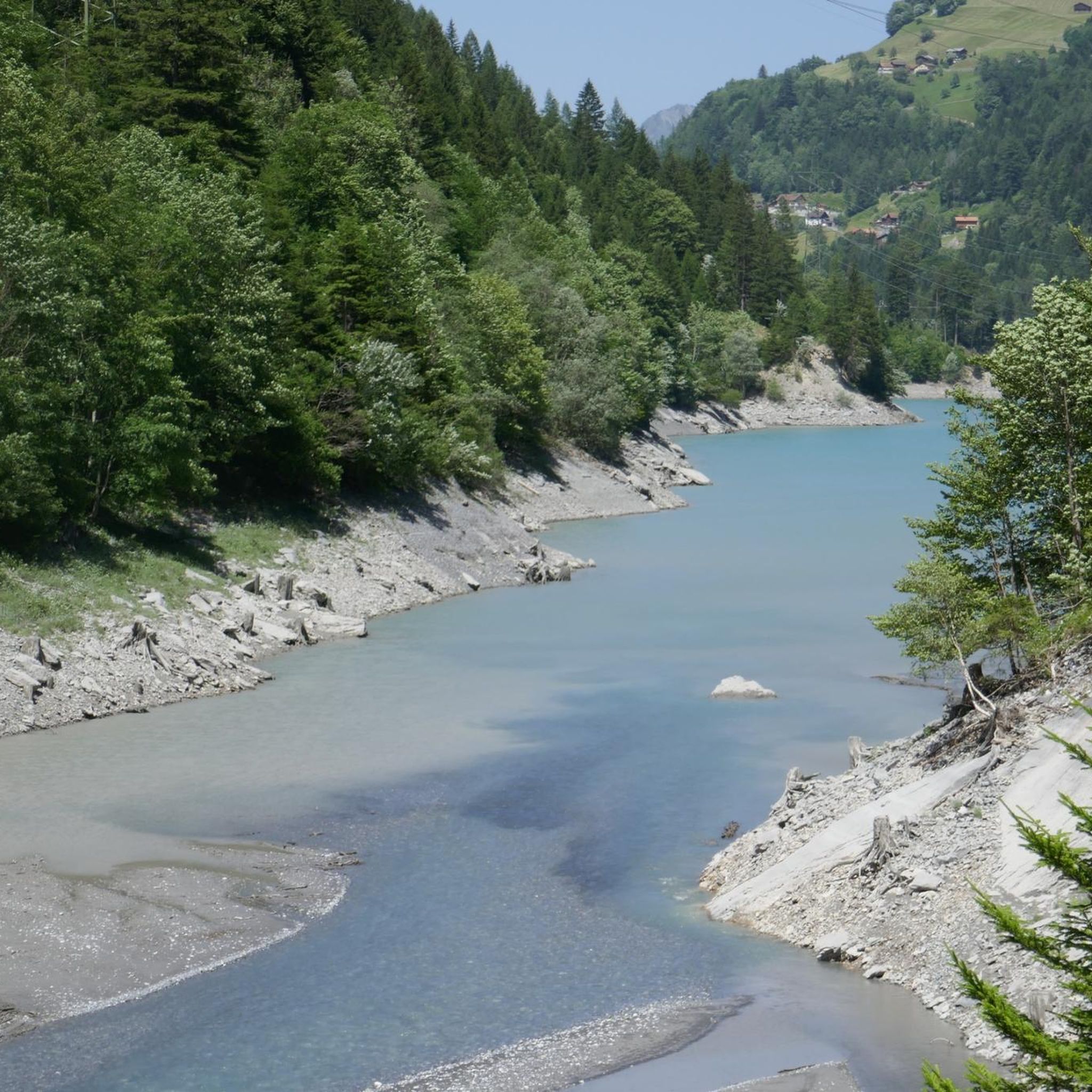
Road cycling routes around Pumpspeicherkraftwerk Mapragg traverse the Taminatal (Tamina Valley), offering diverse terrain for cyclists. The region is characterized by Alpine scenery, with routes passing through open meadows and forested sections. Cyclists encounter varied elevation changes, from gentle paths around the Mapragg Reservoir to more challenging ascents into the surrounding hills. This area provides a mix of accessible paths and strenuous climbs, catering to different fitness levels.
Best road cycling routes around Pumpspeicherkraftwerk Mapragg
- The most popular road cycling…
Last updated: October 11, 2026
4.0
(4)
7
riders
13.3km
00:49
360m
370m
Moderate road ride. Good fitness required. Mostly well-paved surfaces and easy to ride.
4.5
(2)
6
riders
24.6km
01:31
570m
570m
Moderate road ride. Good fitness required. Some segments of this route may be unpaved and difficult to ride.

4.4
(8)
64
riders
42.3km
02:39
1,140m
1,130m
Hard road ride. Very good fitness required. Some segments of this route may be unpaved and difficult to ride.
5.0
(3)
34
riders
34.9km
01:57
770m
770m
Moderate road ride. Good fitness required. Mostly well-paved surfaces and easy to ride.
6
riders
32.9km
02:12
1,050m
1,050m
Hard road ride. Very good fitness required. Some segments of this route may be unpaved and difficult to ride.
Get access to more routes and recommendations from other explorers.
Already have an account?
Our route recommendations are based on thousands of hikes, rides, and runs completed by other people on komoot.
Start today with a free account
Your next adventure awaits.
Popular around Pumpspeicherkraftwerk Mapragg

Tips from the Community

No problem with a road bike, only short gravel sections and some bad asphalt. But very beautiful and quiet because of it.
0
0


Beautiful and unique building.
0
0
Impressive structure (length: 475 m, span: 260 m, height: 200 m).
0
0

Interesting illustrations about electricity generation. As someone from the lowlands, I was a bit surprised that I suddenly found myself in the canton of St. Gallen.
1
0

Impressive bridge over the Tamina Gorge. You walk under this during the walk to the source of the Tamina Gorge. On the way back you can go up a different path out of the gorge and reach the bridge.
2
0

Further information can be found at the following link: https://de.m.wikipedia.org/wiki/Taminabr%C3%BCcke
1
0

Frequently Asked Questions
How many road cycling routes are available around Pumpspeicherkraftwerk Mapragg?
There are over 40 road cycling routes around Pumpspeicherkraftwerk Mapragg. These routes offer a diverse range of experiences, from gentle loops to challenging Alpine ascents, catering to various fitness levels.
What kind of terrain can I expect on road cycling routes in this region?
The region around Pumpspeicherkraftwerk Mapragg, particularly the Taminatal (Tamina Valley), offers varied terrain. You'll encounter classic Alpine scenery, with routes traversing open meadows, winding through forested sections, and featuring significant elevation changes. Paths range from easily accessible sections around the Mapragg Reservoir to more strenuous climbs into the surrounding hills.
Are there easy road cycling routes suitable for beginners or relaxed rides?
Yes, there are several options for easier rides. About 9 of the routes are categorized as easy, offering relaxed rides of up to two hours with less than 1,000 feet of elevation gain. These are perfect for those seeking a less strenuous experience while still enjoying the scenic beauty.
Which routes offer challenging climbs for experienced road cyclists?
For experienced road cyclists seeking a challenge, routes like the Gigerwald Dam – Tamina Bridge loop from Duonig provide significant elevation gain and require good to very good fitness. Another demanding option is the Kunkel Pass – Gigerwald Dam loop from Vättis, which also features substantial climbing through Alpine landscapes.
Are there any circular road cycling routes around Pumpspeicherkraftwerk Mapragg?
Yes, many routes in the area are designed as loops. For instance, the popular Tamina Bridge – Mapraggsee loop from Vadura offers a scenic circular ride around the Mapragg Reservoir. Another option is the Mapraggsee – Kunkel Pass loop from Feuerwehrdepot Valens, which takes you through Alpine landscapes and over Kunkel Pass.
What are the best viewpoints or natural features to see along the road cycling routes?
The region is rich in natural beauty. You can enjoy panoramic Alpine views throughout. The Mapragg Reservoir itself is a central feature, with routes often running along its perimeter. The Grot Viewpoint offers excellent panoramic views, and the ascent/descent from Vättnerberg up to the Muntaluna summit provides serene meadow terrain with expansive vistas.
What do other road cyclists enjoy most about road cycling in Pumpspeicherkraftwerk Mapragg?
The area is highly rated by the komoot community, with an average score of 4.3 stars from over 180 reviews. Cyclists often praise the stunning Swiss Alpine scenery, the prominent Mapragg Reservoir, and the diverse network of routes that accommodate various fitness levels, from gentle reservoir loops to challenging mountain ascents.
Are there any routes that offer an educational element?
Yes, along routes such as those around the Mapragg Reservoir, you can find interesting information boards related to electricity generation. These add an educational dimension to your ride, explaining the function of the pumped-storage hydroelectricity plant.
What is a moderate road cycling route I could try?
A moderate option is the Scenic route to Jenins – Tardis Bridge loop from Bad Ragaz. This route covers about 24 kilometers with a moderate elevation gain, offering a balanced challenge for cyclists looking for more than an easy ride but less than a difficult ascent.
When is the best time of year for road cycling around Pumpspeicherkraftwerk Mapragg?
The best time for road cycling in this Alpine region is typically from late spring through early autumn (May to October). During these months, the weather is generally more stable, and mountain passes are clear of snow, offering optimal conditions to enjoy the diverse terrain and scenic views.
Most popular routes around Pumpspeicherkraftwerk Mapragg

Get inspired with the komoot mobile app


Explore more
Browse the best Road cycling routes in other regions.
