The best walks and hikes in Freyung-Grafenau
4.5
(32765)
123,173
hikers
2,714
hikes
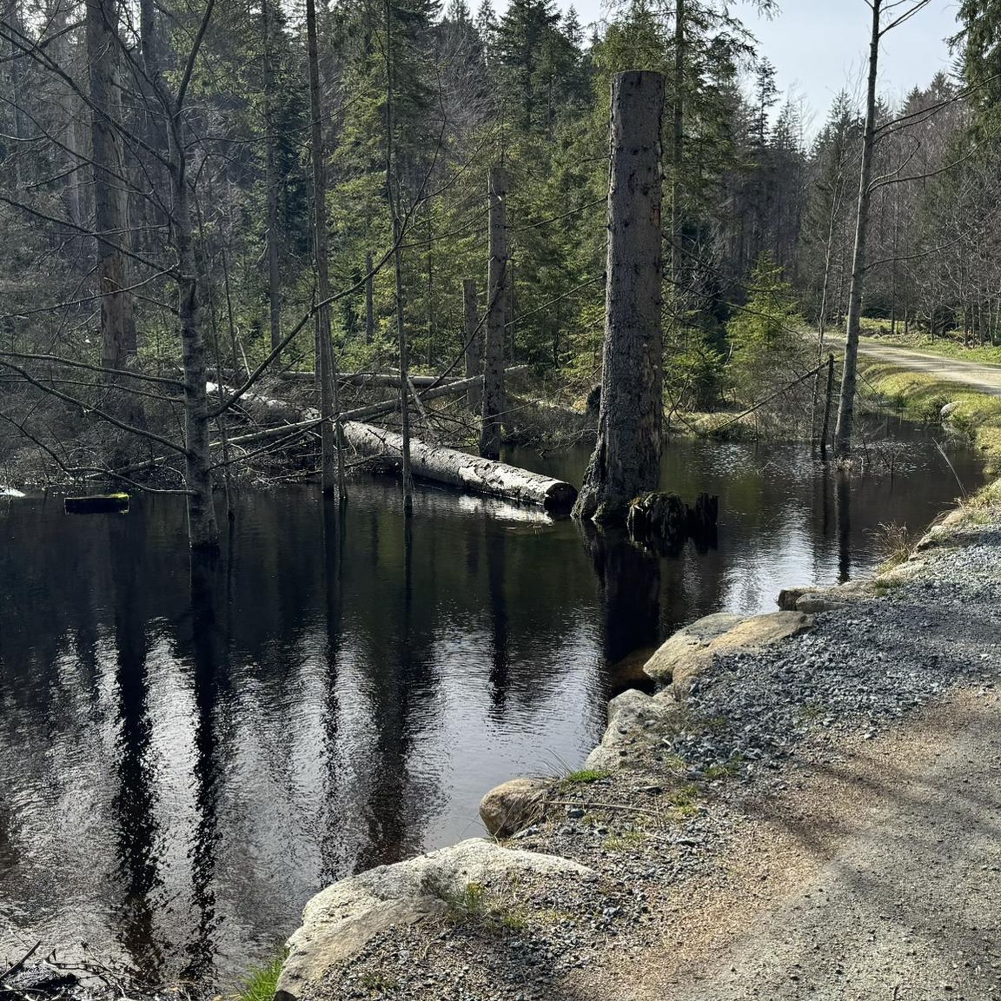
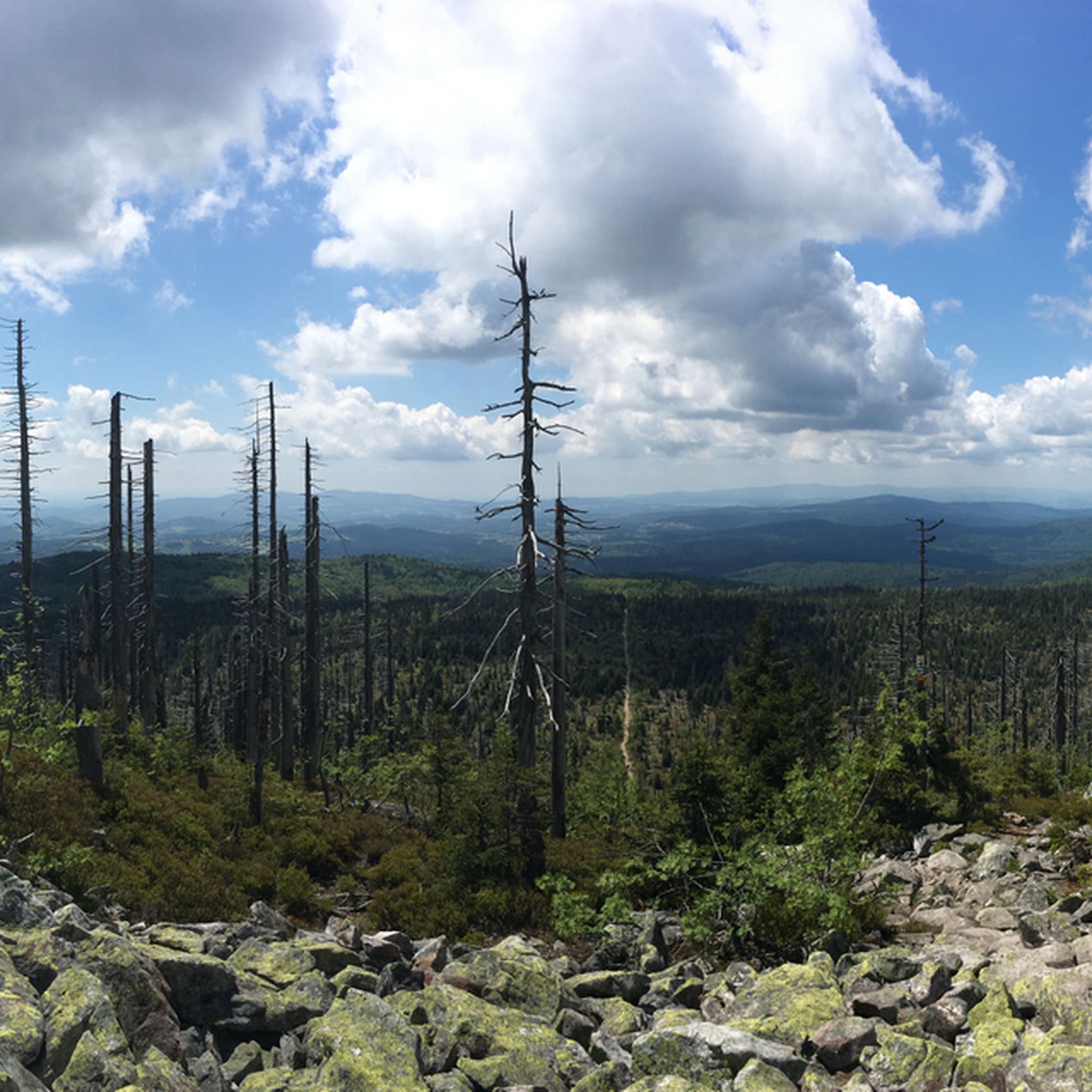
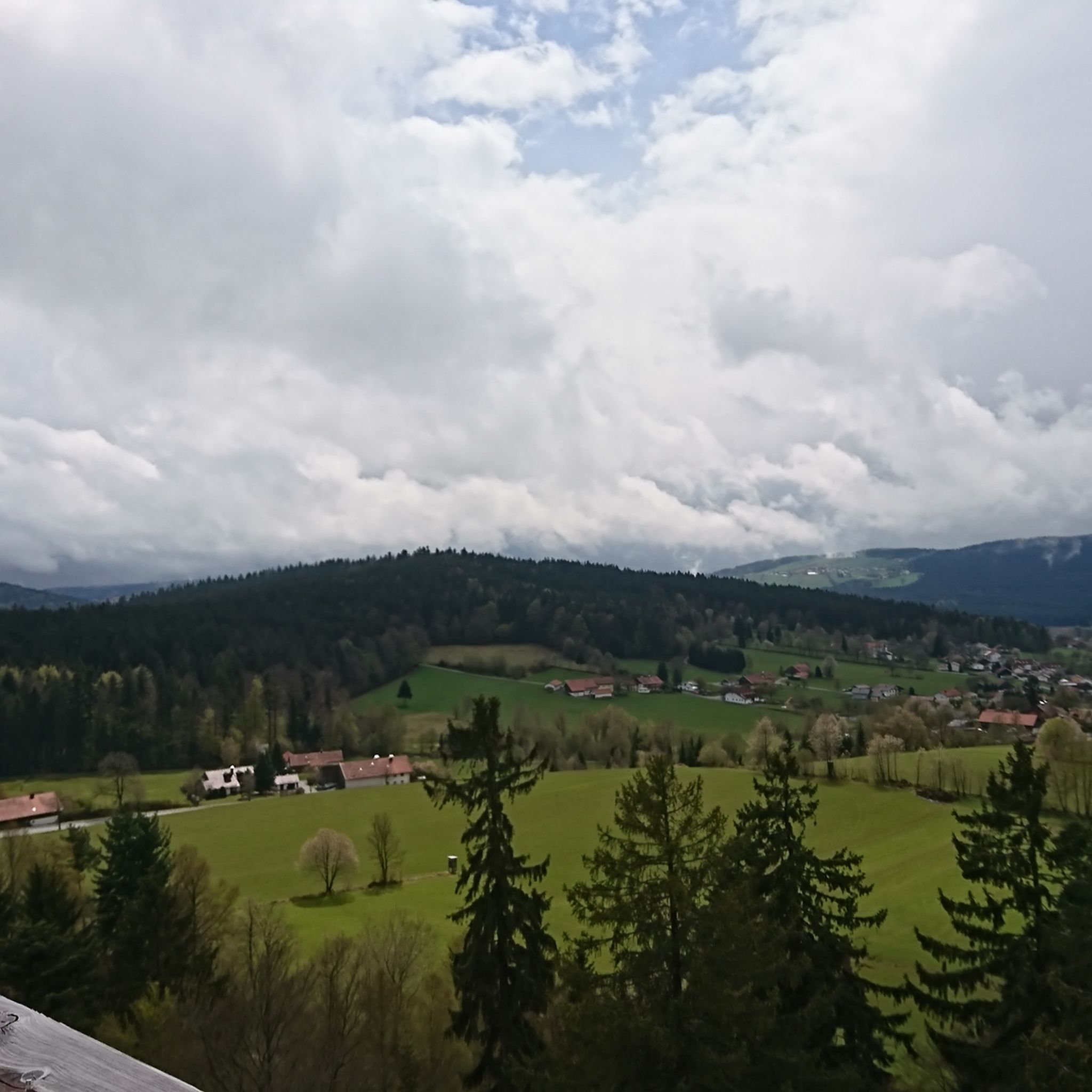
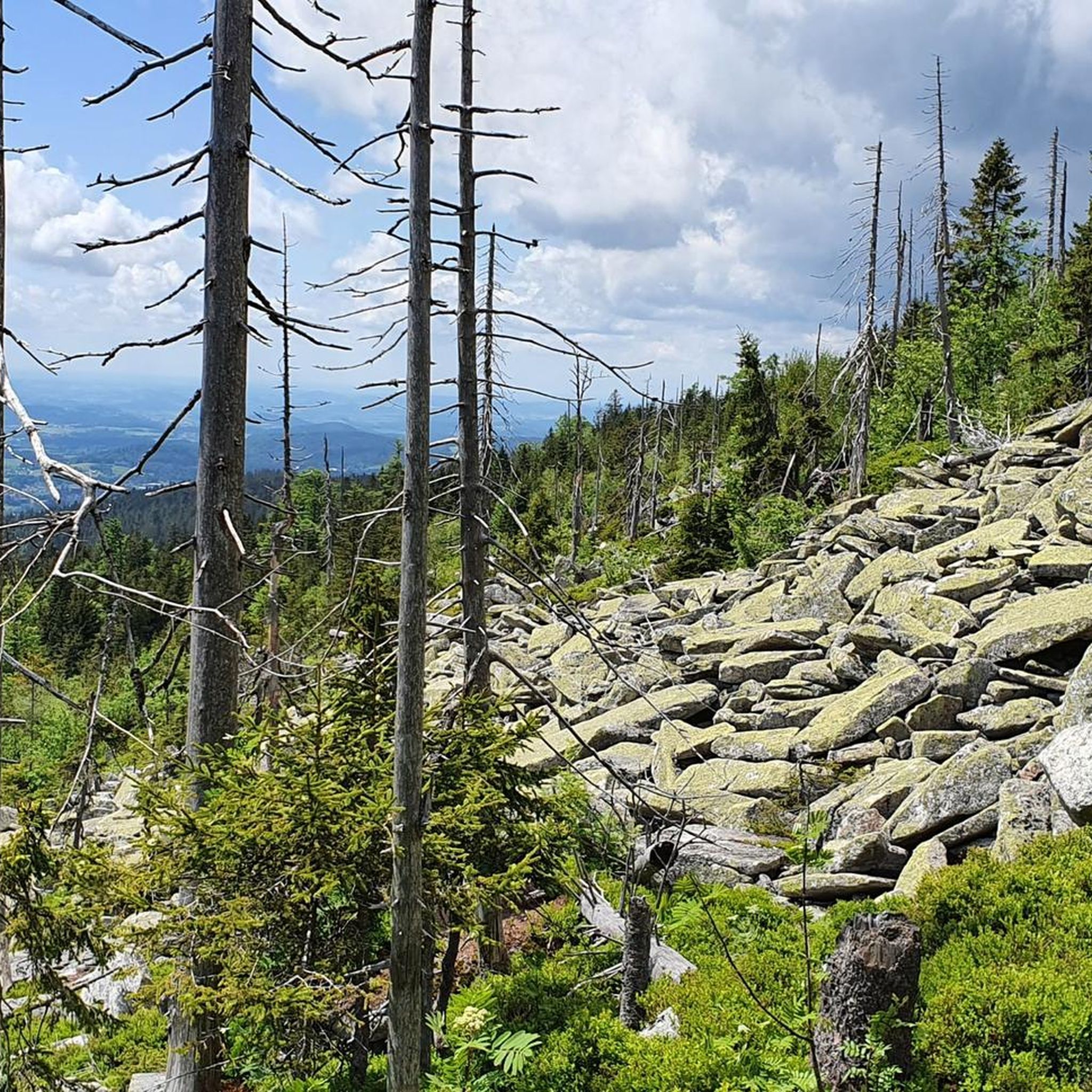
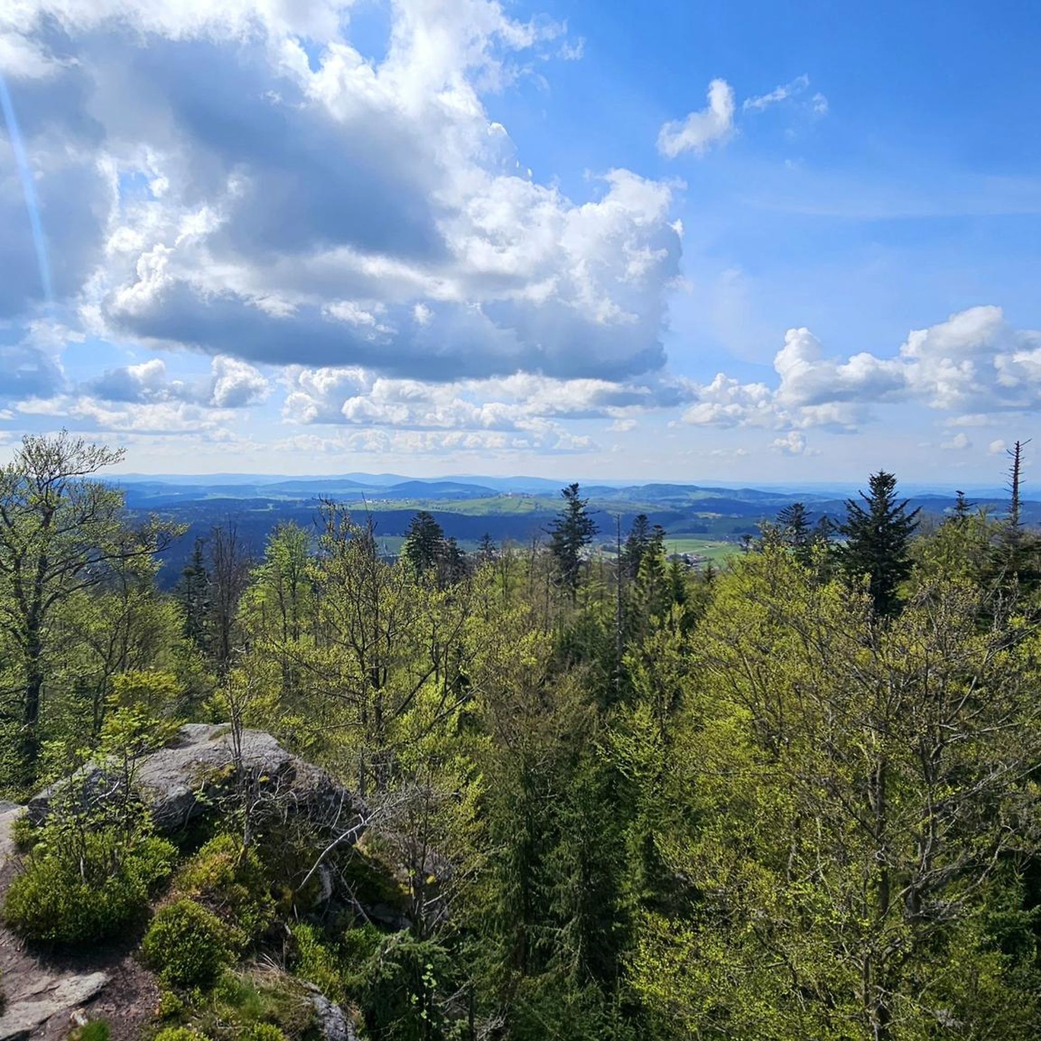
Hiking in Freyung-Grafenau offers diverse landscapes within Bavaria, Germany. The region is characterized by dense forests, rolling hills, and rugged terrain, including the Bavarian Forest National Park. Prominent features include the Rachel and Lusen Mountains, which provide panoramic views, and the Buchberger Leite Gorge, known for its whitewater and unique rock formations. The area's elevation ranges from lower valleys to mountain peaks, offering varied hiking experiences.
Best hiking trails in Freyung-Grafenau
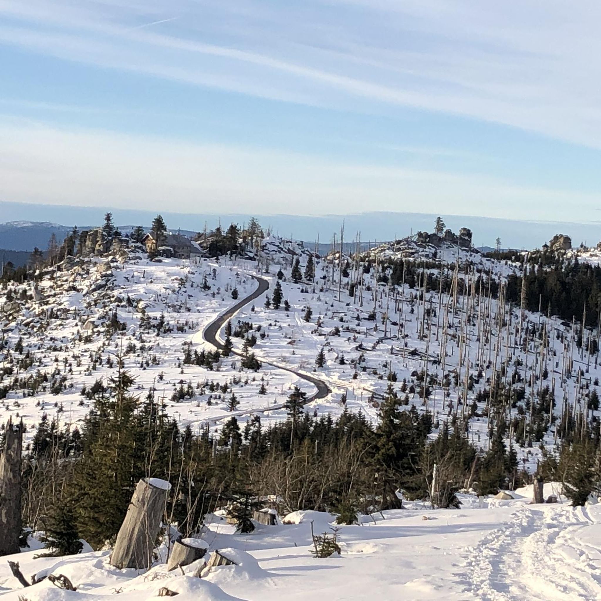
- The most popular hiking route is On the Lusen via Teufelsloch and Himmelsleiter, a 7.6 miles (12.2 km) moderate trail that takes 3 hours 57 minutes to complete. This route ascends to the Lusen mountain, offering views of the surrounding forest.
- Another top favourite among local hikers is Nationalpark compact - Tour through the animal free-range area, a moderate 5.3 miles (8.6 km) path. This trail explores the Bavarian Forest National Park's free-range animal enclosure, allowing observation of native wildlife.
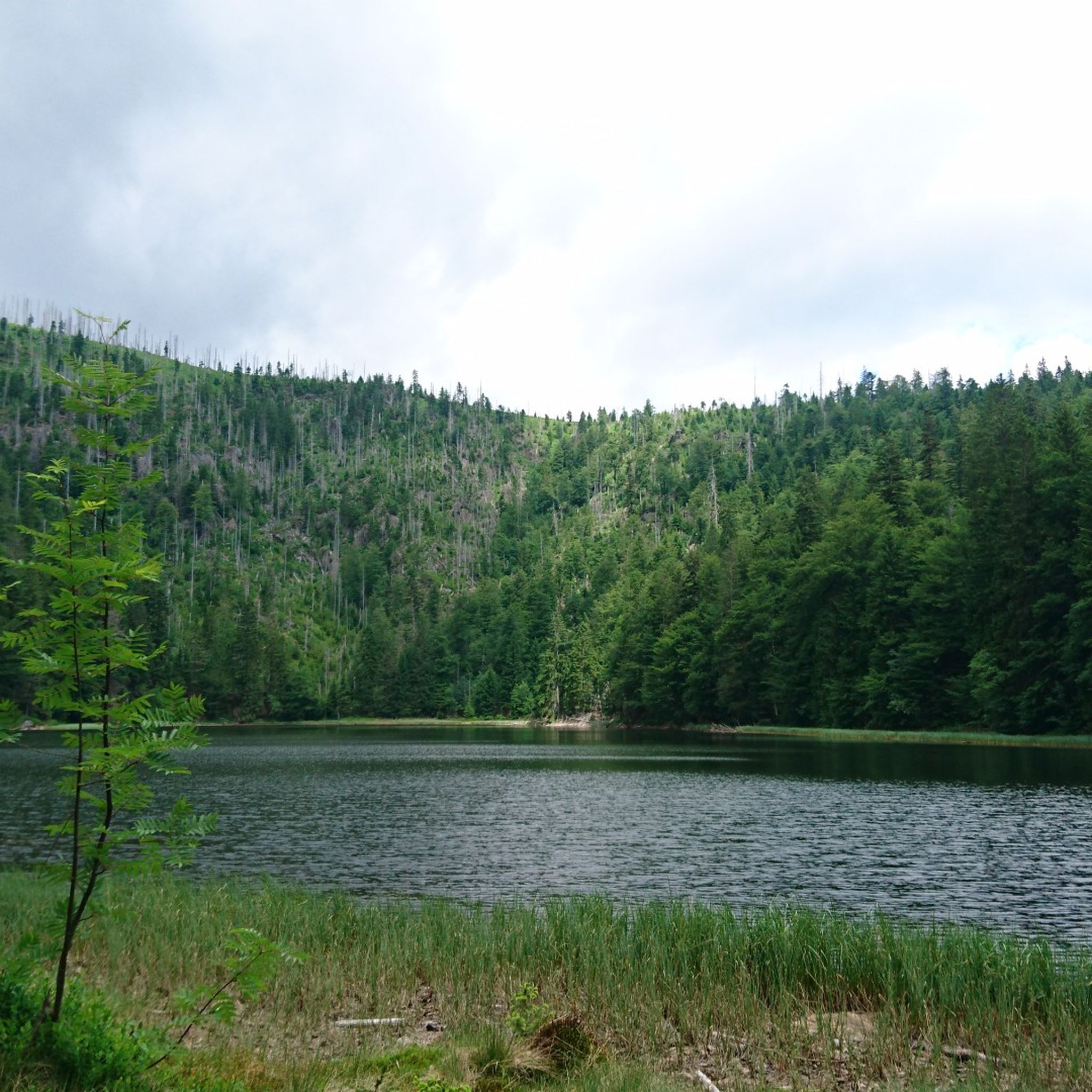
- Local hikers also love the To the Rachel: Peak, Chapel and Lake, a 6.9 miles (11.2 km) trail leading through the Rachel mountain area, often completed in about 3 hours 43 minutes.
- Hiking in Freyung-Grafenau is defined by dense forests, prominent mountains like Rachel and Lusen, and whitewater gorges. The network offers options for different ability levels, from leisurely forest strolls to challenging mountain ascents.
- The routes in Freyung-Grafenau are highly rated by the komoot community with an average score of 4.6 stars from nearly 30,000 reviews. More than 120,000 hikers have used komoot to explore Freyung-Grafenau's varied terrain.
Last updated: August 17, 2026
4.9
(1761)
5,998
hikers
12.2km
03:57
530m
530m
Moderate hike. Good fitness required. Mostly accessible paths. Sure-footedness required.
4.8
(1241)
5,243
hikers
8.60km
02:21
140m
130m
Moderate hike. Good fitness required. Easily-accessible paths. Suitable for all skill levels.

Sign up for free
4.8
(576)
2,288
hikers
11.2km
03:43
510m
510m
Moderate hike. Good fitness required. Mostly accessible paths. Sure-footedness required.
4.8
(847)
2,565
hikers
11.5km
03:04
130m
120m
Moderate hike. Good fitness required. Easily-accessible paths. Suitable for all skill levels.
4.7
(241)
718
hikers
11.9km
03:31
340m
350m
Moderate hike. Good fitness required. Mostly accessible paths. Sure-footedness required.
4.8
(244)
799
hikers
Moderate hike. Good fitness required. Easily-accessible paths. Suitable for all skill levels.
4.8
(156)
475
hikers
7.62km
02:21
270m
270m
Moderate hike. Good fitness required. Mostly accessible paths. Sure-footedness required.
4.8
(149)
553
hikers
21.7km
06:44
750m
750m
Hard hike. Very good fitness required. Mostly accessible paths. Sure-footedness required.
4.8
(144)
508
hikers
11.9km
03:37
410m
410m
Moderate hike. Good fitness required. Mostly accessible paths. Sure-footedness required.
4.7
(911)
2,901
hikers
12.5km
03:31
190m
190m
Hard hike. Good fitness required. Sure-footedness, sturdy shoes and alpine experience required.
Get access to more routes and recommendations from other explorers.
Sign up for free
Already have an account?
Our route recommendations are based on thousands of hikes, rides, and runs completed by other people on komoot.
Start today with a free account
Your next adventure awaits.
Login or Signup
Other adventures in Freyung-Grafenau


Tips from the Community


A highlight in every season
0
0
always beautiful here, whether on foot or by bike
0
0
very nice place for a short break
0
0

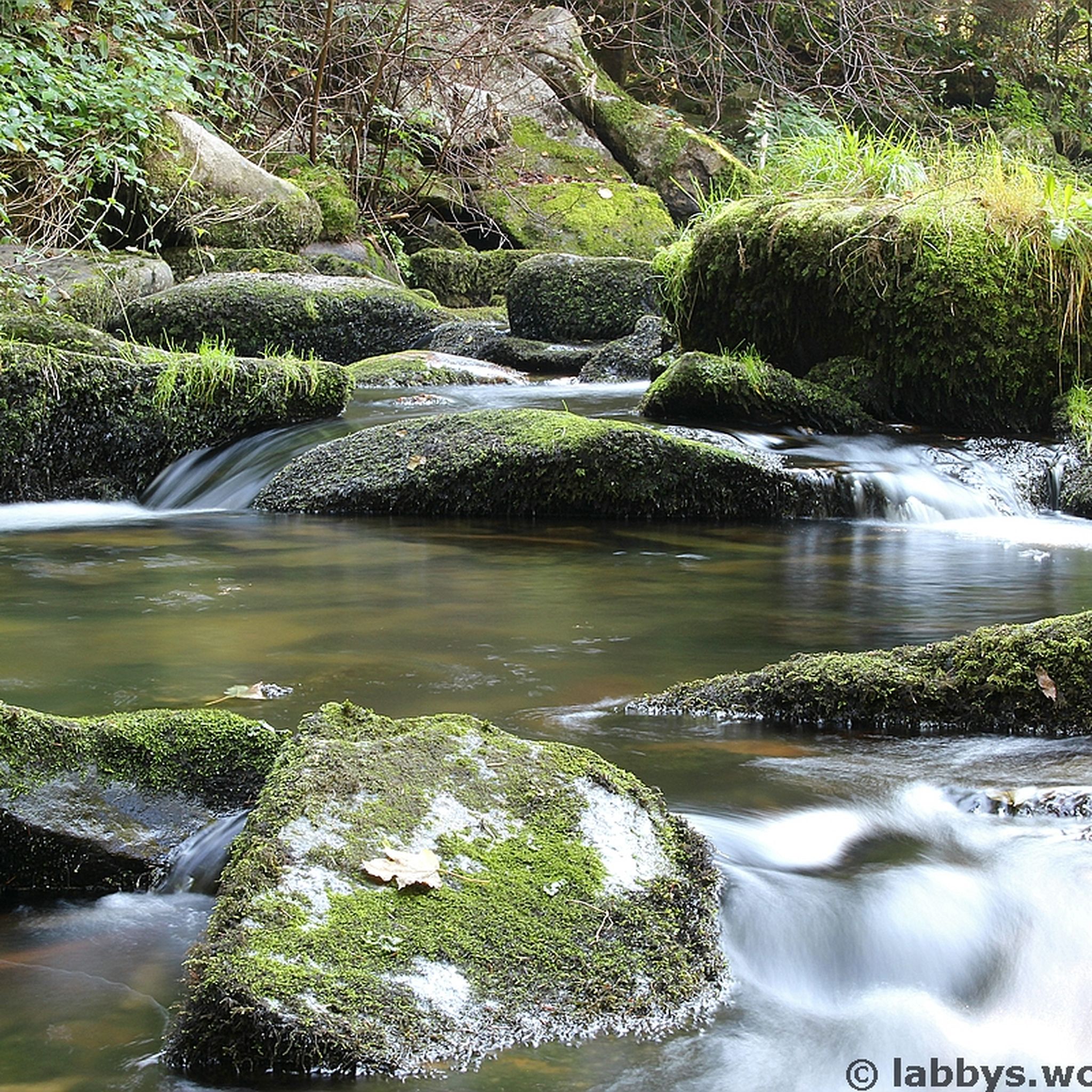
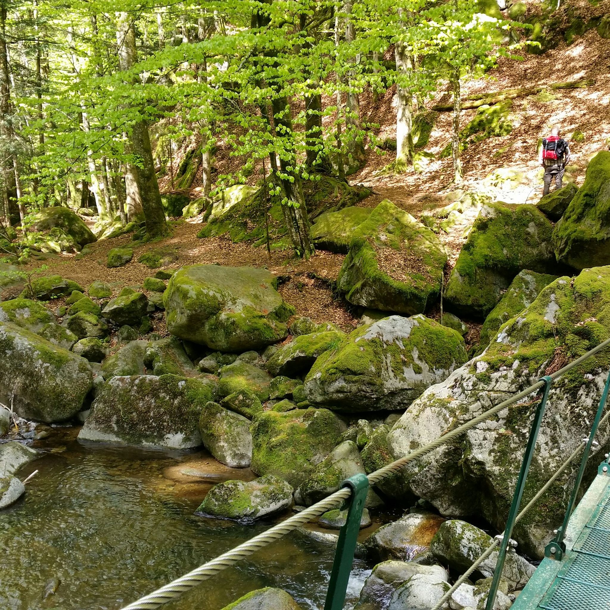
Ideal when it has rained, then the moss on the stones comes out great
1
0

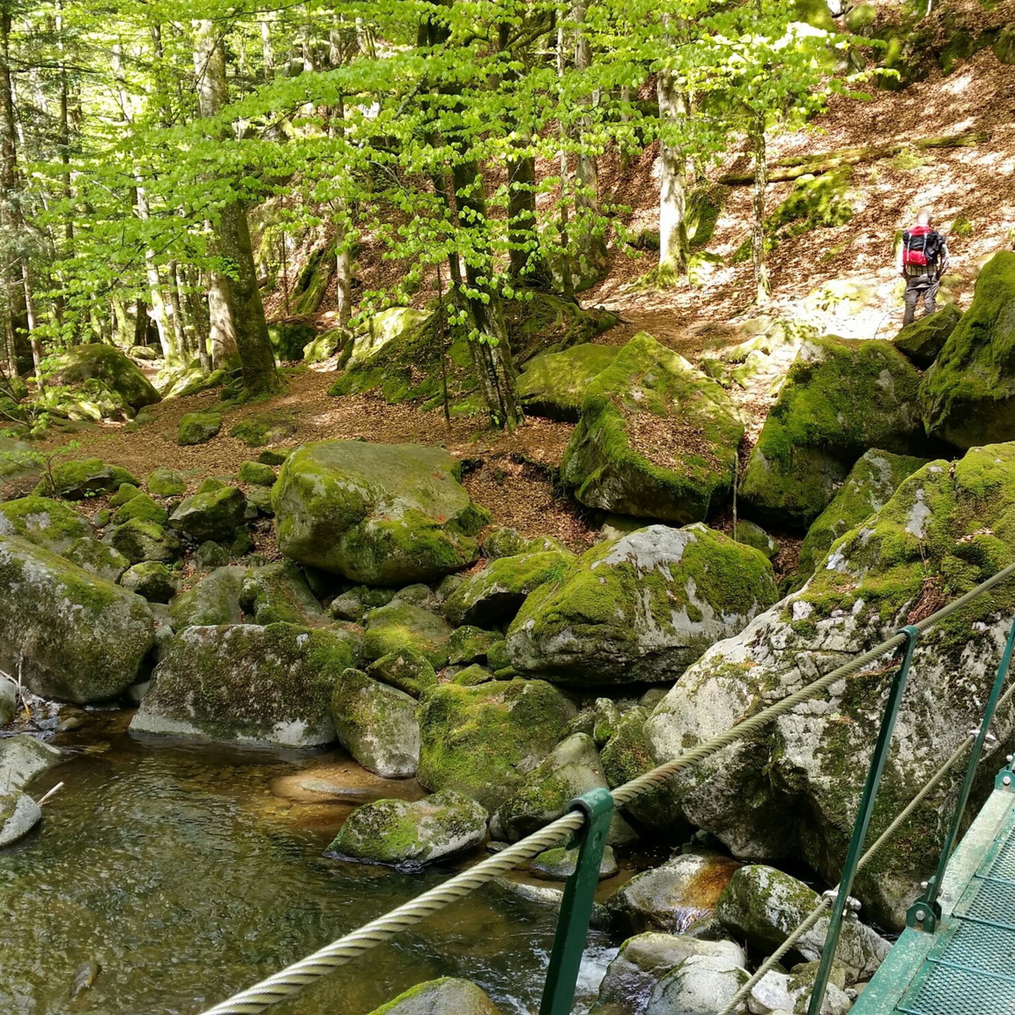
The Augustin Kanzel is a true insider tip for hikers seeking peace, nature, and a touch of history. Located at an elevation of 575 meters in the Buchberger Leite valley, it not only offers a welcome rest stop on the circular hike near Freyung, but also a magnificent view of the wild Saußbach riverbed. It's a blessing, especially on hot days – the shady treetops and the gentle murmur of the water create an almost meditative atmosphere. https://www.waidlerwiki.de/wanderweg_buchberger_leite_-_geyersberg
1
0
This place is ideal as a snack spot 😎
0
0
Frequently Asked Questions
How many hiking trails are available in Freyung-Grafenau?
Freyung-Grafenau boasts an extensive network of over 2,700 hiking routes. These range from leisurely forest strolls to challenging mountain ascents, catering to all skill levels.
What kind of terrain can I expect when hiking in Freyung-Grafenau?
The region is characterized by diverse terrain, including dense forests, rolling hills, and rugged landscapes within the Bavarian Forest National Park. You'll encounter prominent mountains like Rachel and Lusen, unique rock formations, and captivating whitewater gorges such as the Buchberger Leite.
Are there any family-friendly hiking options in Freyung-Grafenau?
Yes, Freyung-Grafenau offers several routes suitable for families. The Bavarian Forest National Park has well-marked trails for all abilities, including family-friendly options. The Nationalpark compact - Tour through the animal free-range area is a popular choice where you can observe native wildlife. The Saußbachweg and Schwellhäusl route is also particularly suitable for families with children.
What are the best times of year to go hiking in Freyung-Grafenau?
The best seasons for hiking in Freyung-Grafenau are spring, when nature is vibrant and green, and autumn, which offers beautiful fall foliage and pleasant temperatures. Some trails, like the Nordwaldkammwege, are even accessible in winter for those seeking a different experience.
Are there any circular hiking routes in the region?
Yes, many routes in Freyung-Grafenau are designed as circular walks. For example, the Saußbach reservoir offers a pleasant circular route option. Another popular choice is the Circular route Buntspecht - From Racheldiensthütte to Rachelsee, which takes you through scenic landscapes.
What natural attractions or landmarks can I discover along the trails?
Hikers can explore numerous natural attractions. The region features prominent peaks like the Großer Rachel and Lusen, offering panoramic views. The Buchberger Leite Gorge is renowned for its whitewater and unique rock formations. You can also visit beautiful lakes such as Lake Rachel or the Martinsklause Reservoir.
Can I spot any wildlife while hiking in Freyung-Grafenau?
Yes, the region's rich biodiversity allows for wildlife spotting. The Bavarian Forest National Park is home to various animal species. The Nationalpark compact - Tour through the animal free-range area is specifically designed for observing native wild animals like deer and lynx in their natural habitat.
Are there any long-distance hiking trails that pass through Freyung-Grafenau?
Yes, the renowned Goldsteig Trail, one of Europe's longest long-distance hiking trails, traverses the region. Its northern route strings together summit after summit, leading through the National Park and along the Bohemian border. The Nordwaldkammwege also offer extensive hiking pleasure, extending into Germany, Austria, and the Czech Republic.
What do other hikers enjoy most about Freyung-Grafenau?
The hiking routes in Freyung-Grafenau are highly rated by the komoot community, with an average score of 4.6 stars from nearly 30,000 reviews. Hikers frequently praise the stunning natural beauty, the untouched forests, and the diverse landscapes that offer a refreshing escape into nature.
Are there any trails that feature unique geological formations?
Absolutely. The Buchberger Leite Gorge is famous for its unique rock formations and offers insights into local earth history, including the Pfahl rocks. The Granit Trail (Granitzweg) within the Bavarian Forest National Park also features stunning vistas and distinctive rock formations.
What are some of the more challenging hikes in the area?
For those seeking a challenge, routes ascending the prominent peaks like Großer Rachel and Lusen offer significant elevation gain and rewarding panoramic views. The Varied Rachel crossing is a difficult trail covering over 21 km with substantial elevation changes.
Can I find trails that explore the region's cultural heritage?
Yes, some trails offer a glimpse into the region's cultural heritage. The Glass Route, for instance, not only provides wonderful panoramic views but also showcases traditional glass craftsmanship. Additionally, a hiking tour can lead you to the medieval Fürsteneck Castle Ruin, offering impressive views and historical context.
Most popular routes in Freyung-Grafenau
Most popular attractions in Freyung-Grafenau

Get inspired with the komoot mobile app


Didn’t find what you were looking for?
Check out more Hikes throughout Freyung-Grafenau below and find the perfect route in your destination.
Explore more
Browse the best Hikes in other regions.
