The best road cycling routes around Parco dei Monti Aurunci
4.5
(119)
3,842
riders
170
rides
Road cycling around Parco dei Monti Aurunci offers routes through a diverse landscape characterized by coastal stretches, rolling hills, and mountainous terrain. The region features limestone formations and dense Mediterranean vegetation, providing varied gradients for road cyclists. Roads often wind through historic towns and offer views of the Tyrrhenian Sea. The area presents opportunities for both challenging climbs and more moderate rides.
Best road cycling routes around Parco dei Monti Aurunci
- The most popular road cycling route is Tomb of…
Last updated: May 28, 2026
4.0
(1)
127
riders
51.8km
02:41
870m
870m
This moderate 32.2-mile road cycling loop from Formia to Sperlonga via Gaeta and Itri offers panoramic coastal and mountain views.
5.0
(1)
203
riders
123km
05:53
1,650m
1,650m
Hard road ride. Very good fitness required. Mostly well-paved surfaces and easy to ride.

Sign up for free
4.3
(6)
153
riders
85.4km
03:48
790m
790m
Moderate road ride. Good fitness required. Mostly well-paved surfaces and easy to ride.
4.0
(2)
118
riders
85.6km
04:01
1,030m
1,030m
Hard road ride. Very good fitness required. Mostly well-paved surfaces and easy to ride.
5.0
(3)
96
riders
84.0km
03:47
630m
630m
Moderate road ride. Good fitness required. Mostly well-paved surfaces and easy to ride.
Get access to more routes and recommendations from other explorers.
Sign up for free
Already have an account?
Our route recommendations are based on thousands of hikes, rides, and runs completed by other people on komoot.
Start today with a free account
Your next adventure awaits.
Login or Signup
Tips from the Community

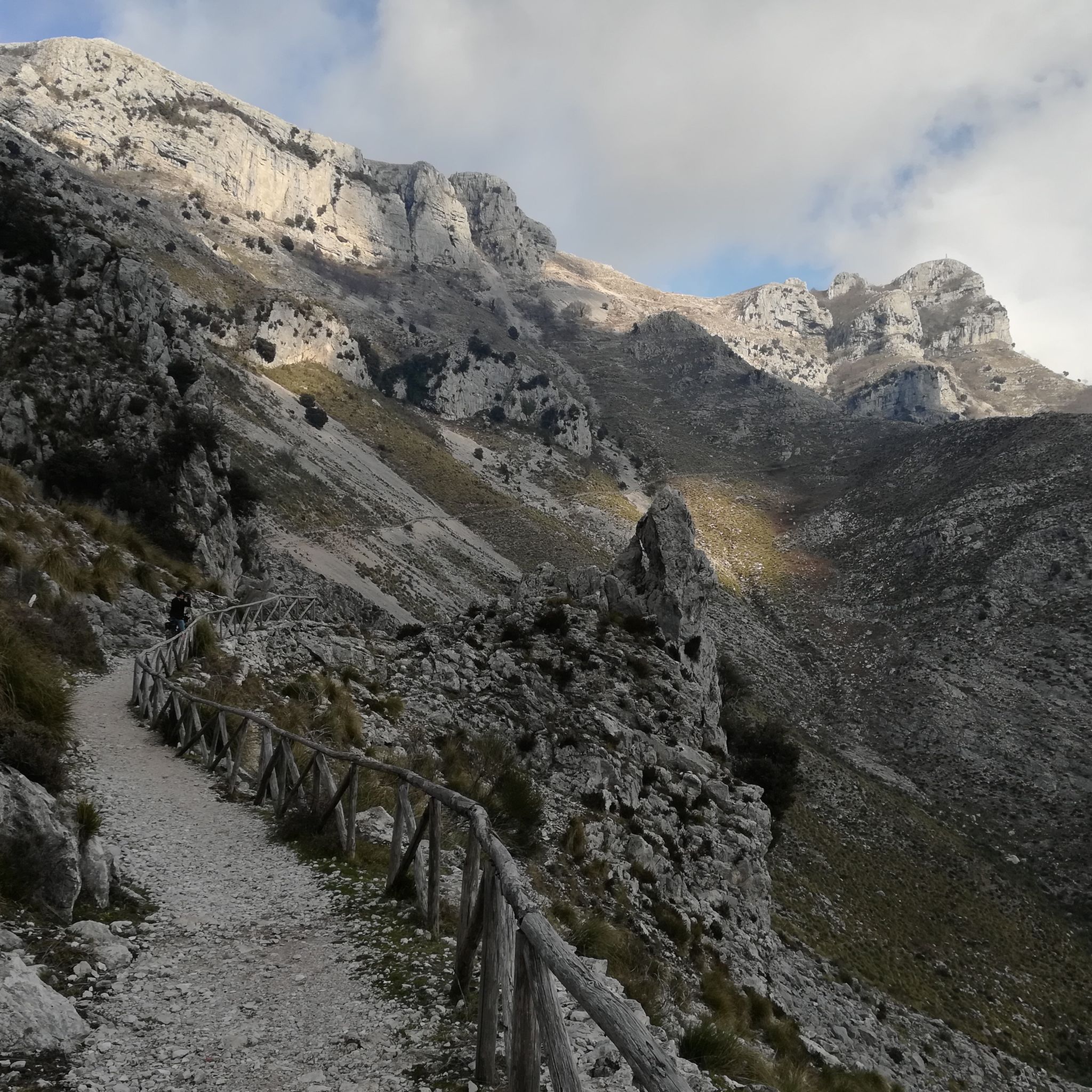
Parking area and start of trails to Piana di Campello and Monte Trina.
0
0

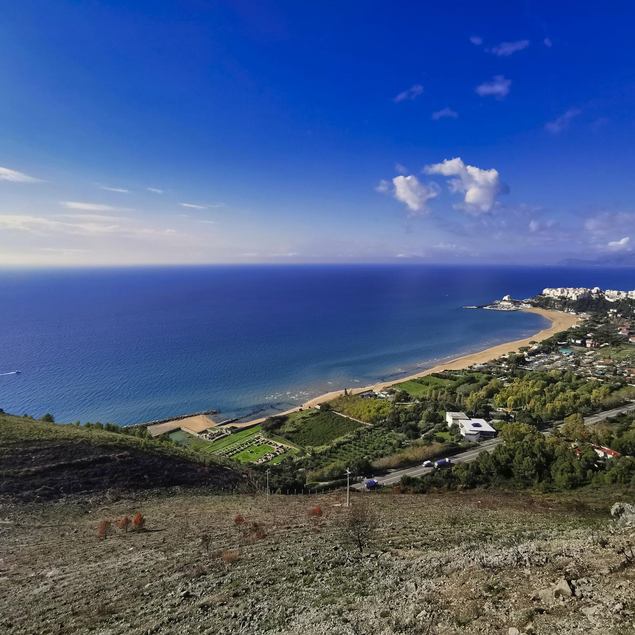
As spectacular as it can get. Exceptional views of Sperlonga and the sea. The nice thing: definitely an easy climb averaging not more than 5-7% and the descent is wonderful. Best time is early morning or sunset.
1
0

I rushed by, but I was still curious to visit it!
0
0

Dam that allows you to pass from one bank to the other
0
0
Passable dam that connects the Lazio shore to the Campania shore
1
0
It can only be visited a couple of Sundays a month.
1
0
Fountain in Piazza della Repubblica, nicknamed by locals as the “fountain that pisses in the air”
1
0

Swing by this pizzeria in Formia for delicious pizzas made with high-quality ingredients and excellent buffalo mozzarella. The place is clean and welcoming, with friendly staff. Whether dining in or taking out, you'll appreciate the fast, efficient service.
0
0
Frequently Asked Questions
How many road cycling routes are available in Parco dei Monti Aurunci?
There are over 160 road cycling routes in Parco dei Monti Aurunci, catering to various skill levels. This includes 25 easy routes, 82 moderate routes, and 55 difficult routes.
Are there beginner-friendly road cycling routes in Parco dei Monti Aurunci?
Yes, Parco dei Monti Aurunci offers 25 easy road cycling routes suitable for beginners. These routes typically feature gentler gradients and shorter distances, allowing for a more relaxed experience.
What kind of challenging road cycling routes can I find in the Monti Aurunci?
For experienced cyclists seeking a challenge, the Monti Aurunci region features 55 difficult routes with significant uphill sections. An example is the Sperlonga to Itri uphill – Tomb of Cicero loop from Formia-Gaeta, which covers 76.3 miles (122.7 km) with substantial elevation gain.
Are there any circular road bike routes in Parco dei Monti Aurunci?
Many road cycling routes in Parco dei Monti Aurunci are designed as loops. For instance, the Riviera di Ulisse Loop Trail is a moderate 32.2 miles (51.8 km) path exploring the coastal area, and the Tomb of Cicero – View of Sperlonga Beach loop from Maranola is a 26.5 miles (42.6 km) loop offering scenic views.
What are some scenic viewpoints or attractions along the road cycling routes?
Road cycling routes often provide views of the Tyrrhenian Sea and pass through historic towns. Notable attractions include the Hermitage of St. Michael the Archangel, and historical sites like the Temple of Apollo and Fortino di Sant'Andrea. The Itri Castle – Tomb of Cicero loop from Formia-Gaeta also passes by significant landmarks.
What is the best time of year for road biking in Parco dei Monti Aurunci?
The region's Mediterranean climate generally makes spring and autumn ideal for road cycling, offering pleasant temperatures and less extreme weather. Summers can be hot, especially on coastal stretches, while winters are milder but may bring more unpredictable weather in mountainous areas.
What do other road cyclists enjoy most about road cycling in Parco dei Monti Aurunci?
The area is highly rated by the komoot community, with an average score of 4.4 stars from over 140 reviews. Reviewers often praise the diverse landscape, which combines coastal roads with challenging climbs through rolling hills and mountainous terrain, as well as the routes passing through historic towns.
Are there routes that avoid crowds for a more peaceful ride?
While popular routes like the Riviera di Ulisse can see more activity, many of the 160+ routes in Parco dei Monti Aurunci traverse quieter, less-trafficked roads, especially those venturing deeper into the mountainous interior. Exploring routes away from the immediate coast can offer a more serene experience.
What are the typical distances and durations for road cycling routes here?
Route distances vary significantly, from shorter easy rides to extensive difficult ones. For example, the Tomb of Cicero – View of Sperlonga Beach loop from Maranola is 26.5 miles (42.6 km) and takes about 2 hours 12 minutes, while the Itri Castle – Sperlonga to Itri uphill loop from Formia-Gaeta is 86.3 miles (138.9 km) and can take around 4 hours.
Is public transport available to access road bike trails in Monti Aurunci?
Access to road cycling routes in Monti Aurunci often relies on local bus services or regional trains that connect towns within and around the park. However, public transport options might be limited, especially for reaching specific trailheads deep within the park. It's advisable to check local schedules in advance.
Where can I find parking for road biking in Parco dei Monti Aurunci?
Parking is generally available in the towns and villages that serve as starting points for many routes, such as Formia, Gaeta, Sperlonga, and Itri. Look for designated public parking areas, though availability may vary, especially during peak season. Some routes might also have smaller parking spots near their trailheads.
Most popular routes around Parco dei Monti Aurunci
Most popular attractions around Parco dei Monti Aurunci

Get inspired with the komoot mobile app


Explore more
Browse the best Road cycling routes in other regions.
