The best running trails around Parco naturale regionale delle Alpi Apuane
4.5
(113)
3,817
runners
55
runs
Jogging routes around Parco naturale regionale delle Alpi Apuane traverse a diverse and dramatic landscape in Tuscany, Italy. The region is characterized by rugged peaks, unique karst topography with natural arches, and the famous Carrara marble quarries. Runners can explore a network of trails that wind through dense forests, past charming villages, and alongside artificial lakes, offering varied terrain for different fitness levels.
Best jogging routes around Parco naturale regionale delle Alpi Apuane
- The most popular jogging route is Monte…
Last updated: July 7, 2026
7
runners
13.6km
03:15
1,110m
1,110m
Experience the challenging Monte Forato — Ring Tour, a difficult 8.4-mile jogging route with a spectacular natural arch.
5.0
(2)
45
runners
9.56km
01:54
890m
890m
Hard run. Very good fitness required. Sure-footedness, sturdy shoes and alpine experience required.

Sign up for free
37
runners
11.5km
02:05
640m
640m
Hard run. Very good fitness required. Sure-footedness, sturdy shoes and alpine experience required.
4.0
(1)
33
runners
7.95km
01:51
690m
690m
Hard run. Very good fitness required. Sure-footedness, sturdy shoes and alpine experience required.
31
runners
16.8km
02:29
800m
800m
Hard run. Very good fitness required. Sure-footedness, sturdy shoes and alpine experience required.
Get access to more routes and recommendations from other explorers.
Sign up for free
Already have an account?
Our route recommendations are based on thousands of hikes, rides, and runs completed by other people on komoot.
Start today with a free account
Your next adventure awaits.
Login or Signup
Popular around Parco naturale regionale delle Alpi Apuane

Interiora - A Journey into the Remote Areas of Italy
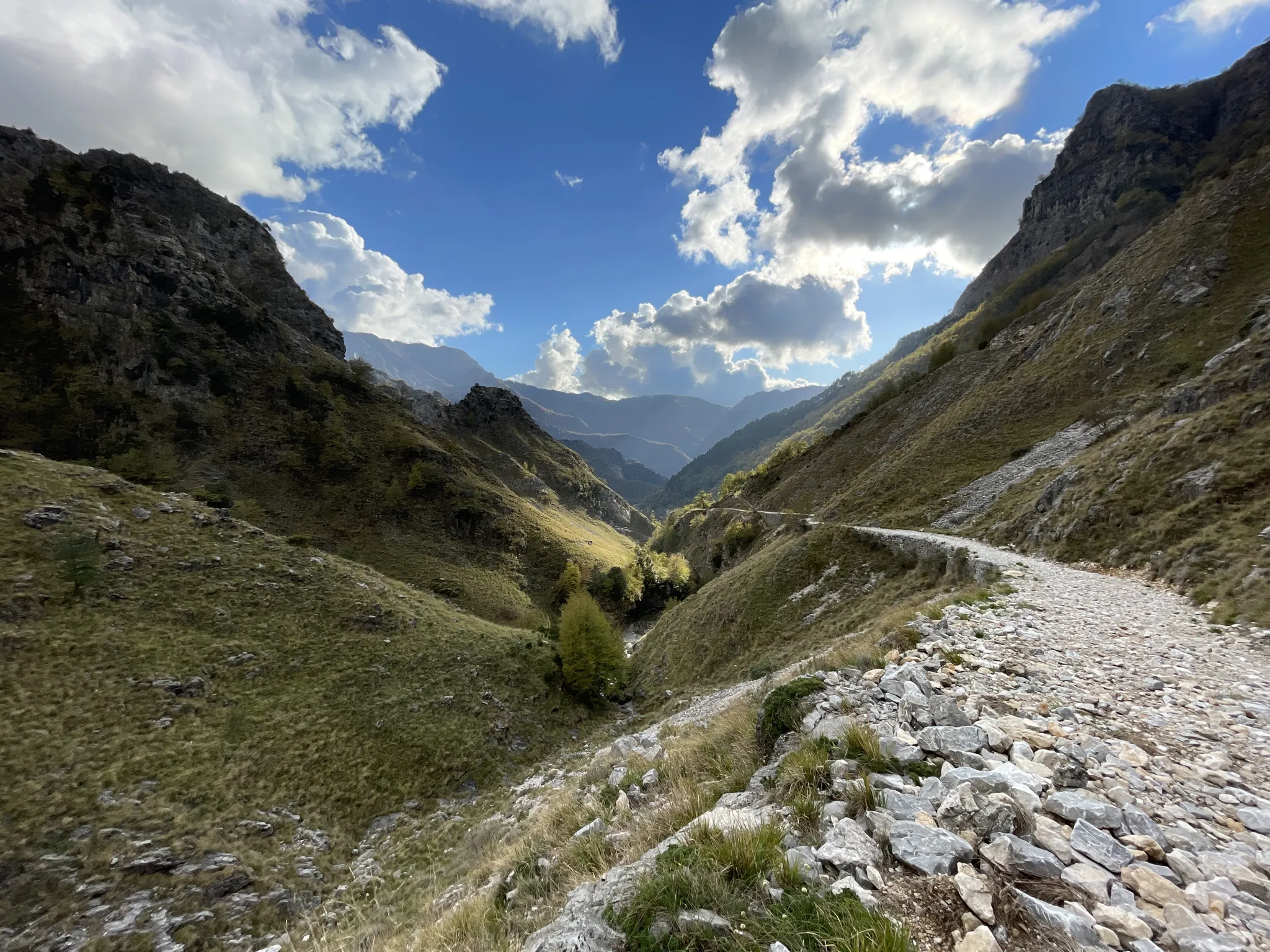
18th-century route from Modena to Massa – Via Vandelli
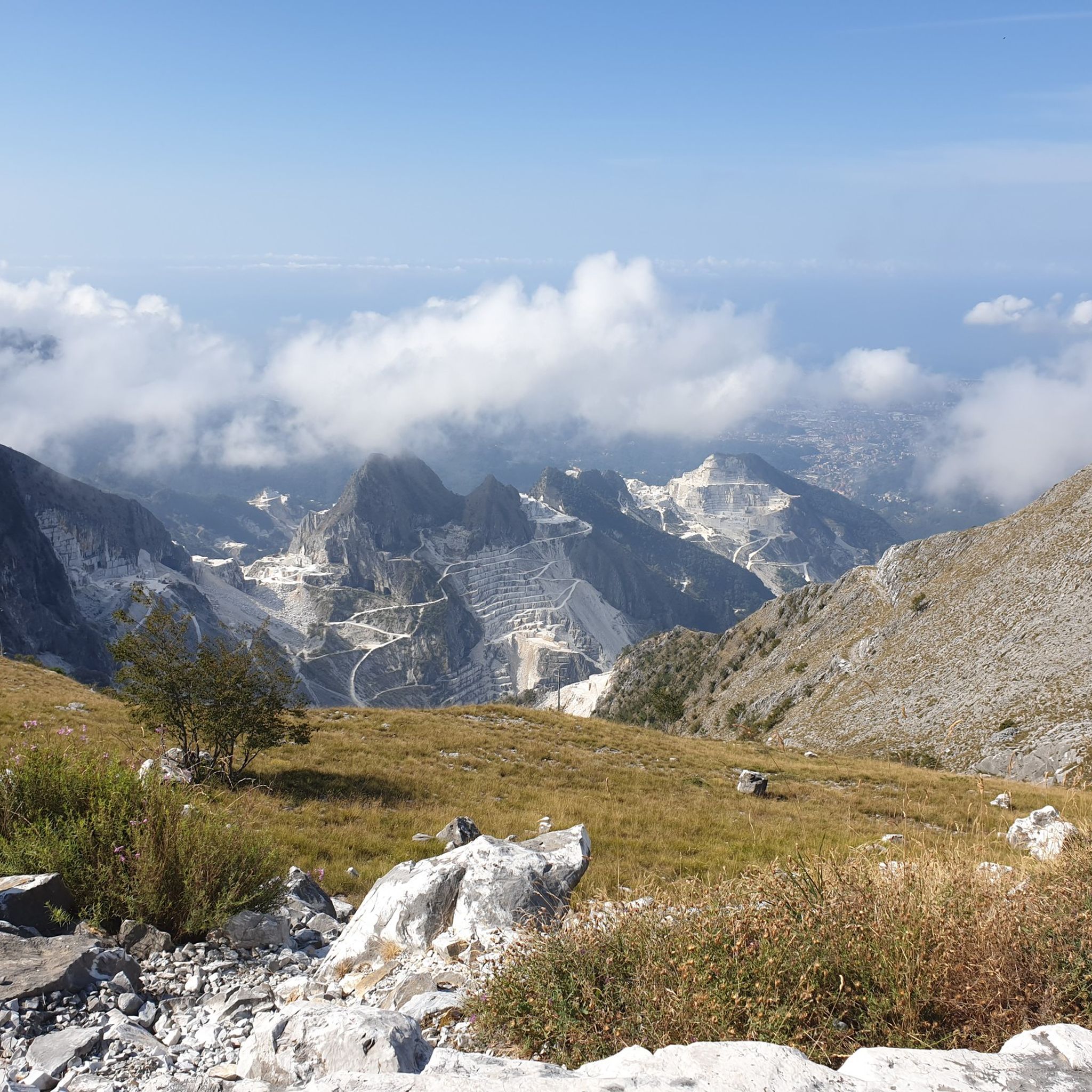
Hiking around Parco naturale regionale delle Alpi Apuane
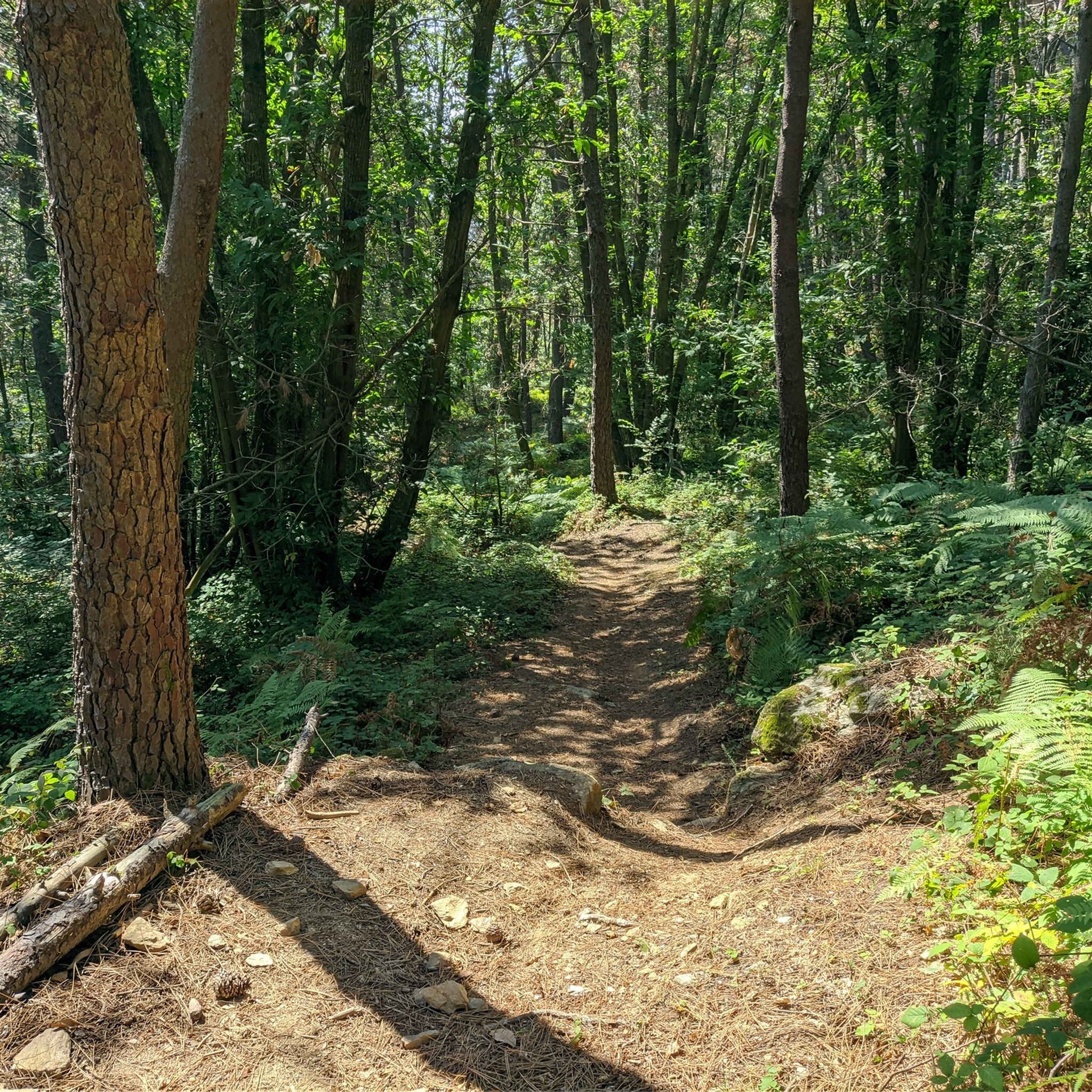
MTB Trails around Parco naturale regionale delle Alpi Apuane
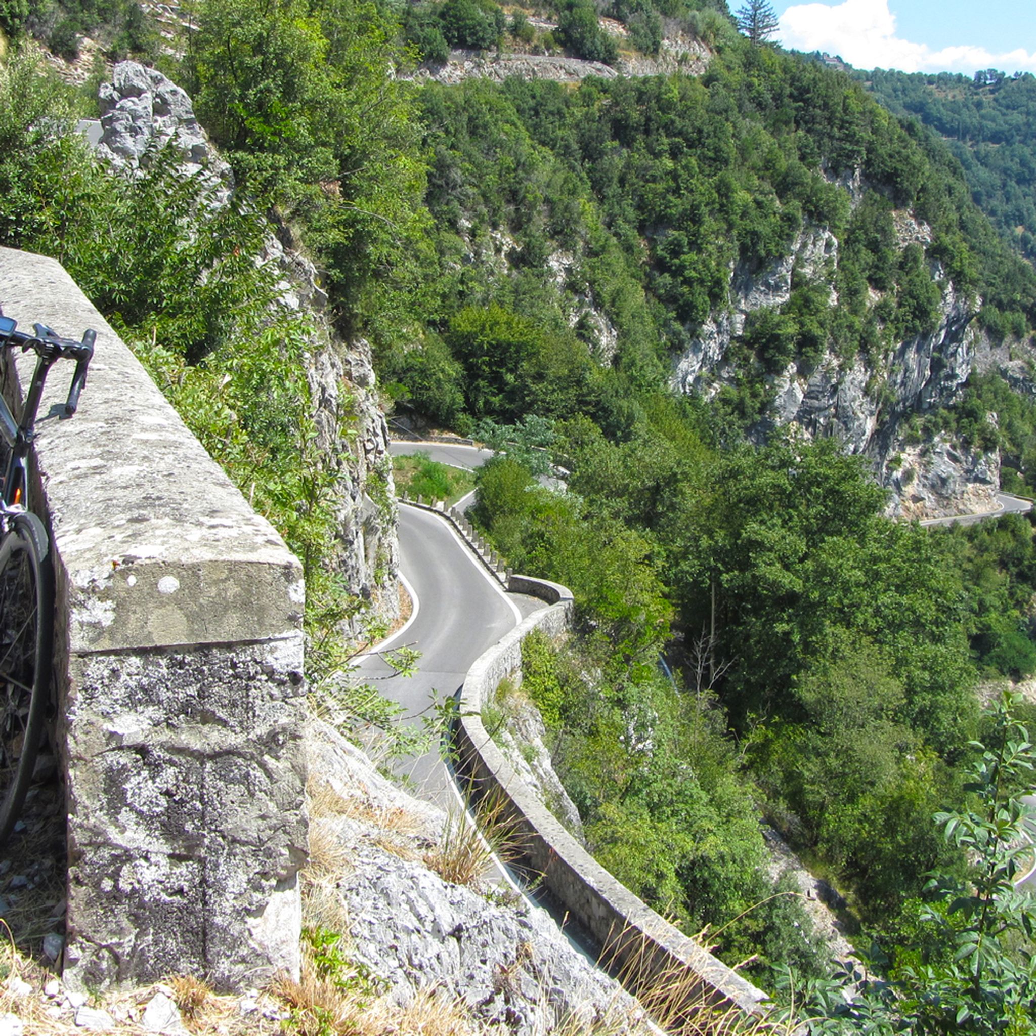
Road Cycling Routes around Parco naturale regionale delle Alpi Apuane
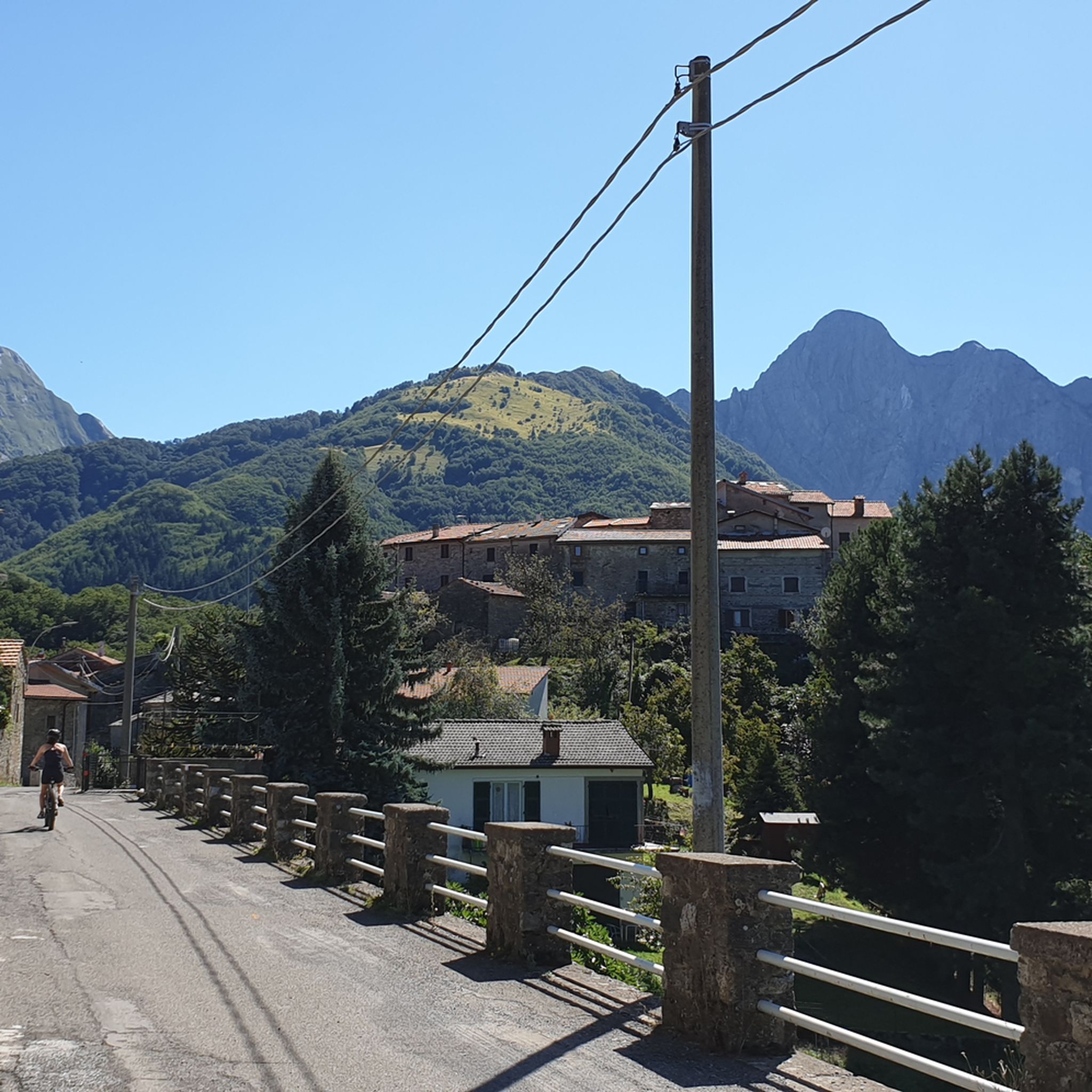
Cycling around Parco naturale regionale delle Alpi Apuane

Mountain Hikes around Parco naturale regionale delle Alpi Apuane

Gravel biking around Parco naturale regionale delle Alpi Apuane
Other adventures around Parco naturale regionale delle Alpi Apuane


Tips from the Community

Climbing Monte Corchia starting from Passo Croce (in the municipality of Stazzema) is one of the most scenic and exciting hikes in the Apuan Alps. The complete loop takes about 5-6 hours and covers an elevation gain of about 550-600 meters (reaching 1678 meters in altitude), and it is classified as EE (Expert Hikers) due to some exposed and steep sections. Even with a MTB it is a beautiful scenic route, you follow the dirt road under the Corchia pinnacles up to a fork. To the left, you descend towards Fociomboli, Puntato, the ghost town of Col di Favilla, then to the Gufonaglia quarry where you need to pay close attention due to the very steep and stony road. Straight ahead from the fork, you reach the Del Freo refuge. Rifugio Giuseppe Del Freo - Pietrapana is one of the main alpine landmarks of the Apuan Alps, located at 1,180 meters above sea level in the grassy basin of Foce di Mosceta.
0
0

Some summit crosses have no corpus, while others are adorned with the figure of the crucified Christ. But the most famous crucifix on the Italian peninsula leads us away from here into the Po Valley. There in the 'Bassa', the writer Giovanni Guareschi (1908 to 1968) set his popular short stories about the protagonists 'Don Camillo' and 'Peppone'. But besides the two, there is another main character: because Jesus Christ himself speaks from the high altar to the priest Don Camillo – whom the actor Fernandel (Fernand Joseph Désiré Contandin, 1903 to 1971) portrayed excellently in several feature films. The crucifix, originally made only for the film adaptations, has been preserved and has become a popular tourist attraction in Brescello (Emilia-Romagna). Via the following link, it can be virtually visited as a komoot highlight =>> https://www.komoot.com/de-de/highlight/6457013
0
0

Enrico Rossi Refuge, highly recommended!
0
0
Not a demanding but always beautiful trek
0
0

Great hideaway for a break. With a fountain outside!
0
0

Free parking 50 meters from the track
0
0

It's always worth it when the weather is nice.
0
0

A nice highlight to visit. The easiest way to reach it is from the east from path 12.
1
0
Frequently Asked Questions
How many running routes are available in Parco naturale regionale delle Alpi Apuane?
The Parco naturale regionale delle Alpi Apuane offers a wide selection of running routes. You can find over 50 jogging routes on komoot, catering to various fitness levels and preferences.
What kind of terrain can I expect on jogging routes in the Alpi Apuane?
The Alpi Apuane boasts incredibly diverse terrain. You'll find everything from gentle paths through dense forests of chestnut, oak, and beech trees to more strenuous ascents along rugged mountain ridges. Many routes also wind through ancient villages and past artificial lakes, offering a mix of natural and cultural landscapes.
Are there running routes suitable for beginners in the Parco naturale regionale delle Alpi Apuane?
Yes, while many routes are challenging, there are options for beginners. Komoot lists 2 easy and 7 moderate running routes in the area, perfect for those looking for a less strenuous experience. For example, the Running loop from Levigliani is a moderate 2.8-mile trail that can be completed in about 40 minutes.
Can I find challenging trail running options in the Alpi Apuane?
Absolutely. The Alpi Apuane is an ideal location for challenging trail running, with 43 difficult routes listed on komoot. These routes often feature significant elevation changes and rugged paths, perfect for experienced runners seeking a high-impact aerobic activity. A prime example is the Picco dei Campaniletti – Passo della Tambura loop from Resceto, a difficult 7.2-mile path with dramatic mountain views.
Are there any jogging routes that pass by unique natural landmarks like Monte Forato?
Yes, the region is famous for its natural landmarks. The Monte Forato Loop Trail is an 8.4-mile route that takes you directly to the spectacular Monte Forato Natural Arch, a must-see geological wonder formed by erosion.
Can I explore the famous Carrara marble quarries while running in the Alpi Apuane?
While direct running routes through the active quarries might be limited for safety, the Alpi Apuane region is renowned for the pristine white Carrara marble quarries. Many trails offer stunning views of these historically significant quarries, providing a striking contrast to the natural green landscapes. You can often find routes that pass nearby or offer panoramic vistas of the quarry areas.
What kind of scenic views can I expect on the running trails?
The running trails in the Alpi Apuane offer breathtaking panoramic views. You can expect dramatic mountain scenery, with rugged peaks reaching almost 2,000 meters, extending all the way to the nearby Ligurian Sea. Many routes provide vistas of unique karst formations, charming villages, and lush forests, ensuring a visually rewarding experience.
Are there circular running routes available in the Parco naturale regionale delle Alpi Apuane?
Yes, many of the running routes in the Parco naturale regionale delle Alpi Apuane are circular, allowing you to start and end at the same point without needing to retrace your steps. Examples include the popular Monte Forato Loop Trail and the Running loop from Levigliani.
What do other runners enjoy the most about jogging in Parco naturale regionale delle Alpi Apuane?
The area is highly rated by the komoot community, with an average score of 4.6 stars from over 100 reviews. Reviewers often praise the dramatic mountain scenery, the variety of challenging trails, and the unique natural landmarks like Monte Forato. The diverse terrain and stunning backdrops make it a favorite for many.
Are there any interesting points of interest or landmarks along the running routes?
Beyond the natural beauty, the Alpi Apuane region features several interesting landmarks. You might encounter mountain passes like Passo del Vestito or Tambura Pass, and even summits like Mount Sagro. The Monte Forato Natural Arch is a particularly popular highlight.
What is the best time of year for jogging in the Alpi Apuane?
The best time for jogging in the Alpi Apuane generally depends on the elevation of your chosen route. Spring and autumn offer pleasant temperatures for most trails, with vibrant foliage or blooming wildflowers. Summer can be warm at lower elevations but ideal for higher mountain runs. Winter can be challenging due to snow and ice, especially on higher trails, but offers unique opportunities for those equipped for winter conditions.
Are there any routes that pass by lakes or charming villages?
Yes, the region is dotted with picturesque villages and artificial lakes. Many running routes are designed to pass through charming ancient villages, offering a glimpse into local culture. You can also find trails that run alongside scenic lakes such as Vagli Lake and Isola Santa Lake, adding to the beauty and diversity of your run.
Most popular routes around Parco naturale regionale delle Alpi Apuane
Most popular attractions around Parco naturale regionale delle Alpi Apuane

Get inspired with the komoot mobile app


Explore more
Browse the best Running Trails & Routes in other regions.
