The best walks and hikes around Parco naturale regionale delle Alpi Apuane
4.5
(10707)
49,013
hikers
529
hikes
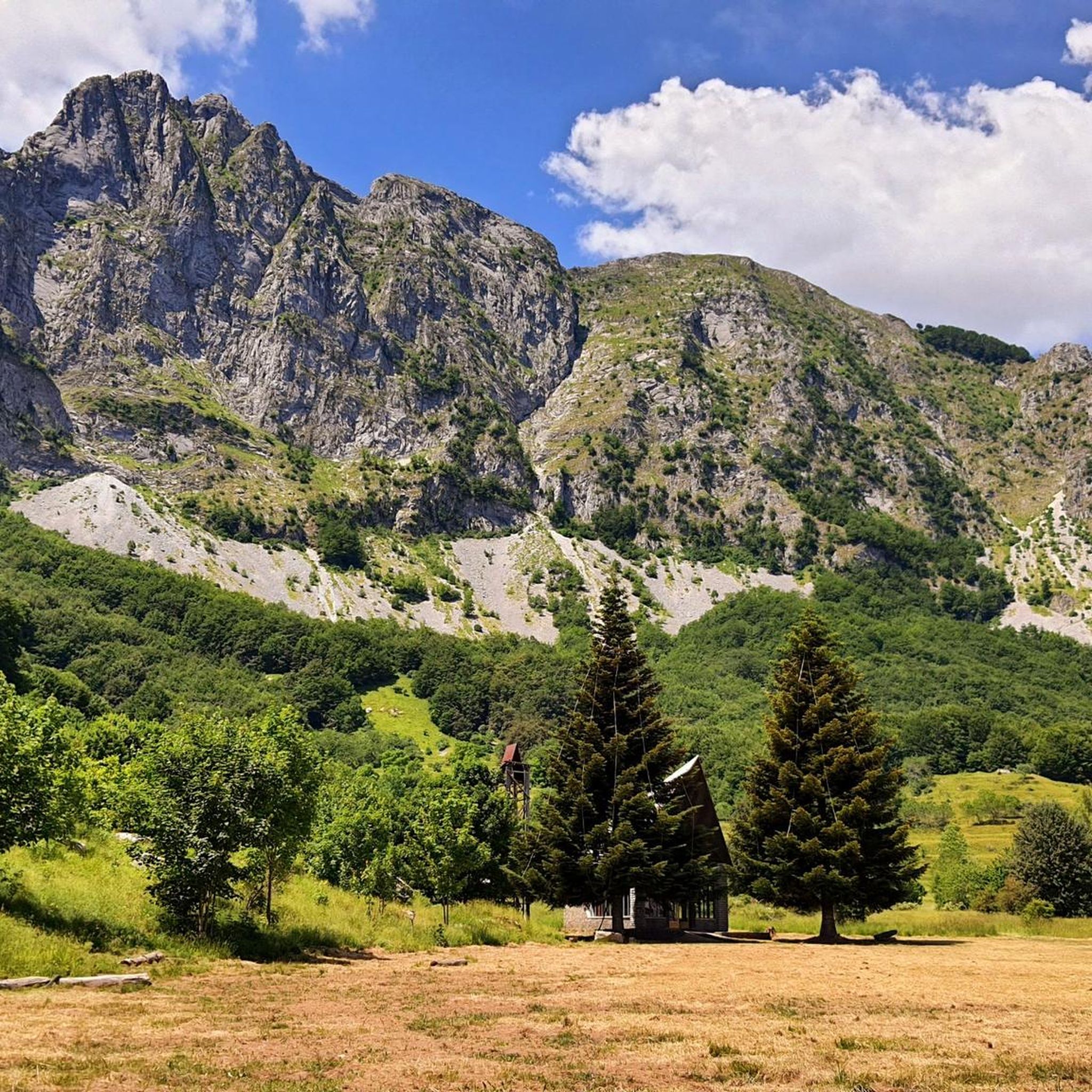
Hiking trails around Parco naturale regionale delle Alpi Apuane traverse a landscape characterized by rugged morphology, deep valleys, and steeply sloping peaks that reach almost 2,000 meters. The region features unique marble mountains and extensive karst topography, with diverse forests covering lower slopes and alpine meadows at higher altitudes. This varied terrain offers panoramic views that can extend to the Tyrrhenian Sea.
Best hiking trails around Parco naturale regionale delle Alpi Apuane
- The most popular hiking route is Monte Sagro…
Last updated: August 30, 2026
4.8
(119)
532
hikers
10.3km
04:21
660m
660m
Prepare for a challenging hike on the Monte Sagro and Monte Spallone Loop, a difficult route that spans 6.4 miles (10.3 km) and climbs 2157 feet (658 metres). You can…
4.4
(65)
250
hikers
5.16km
01:23
70m
60m
Embark on the easy Lake Vagli - Ring tour, a scenic hike in Tuscany, Italy, that takes you around the region's largest hydroelectric basin. This route offers diverse landscapes, nestled…

Sign up for free
4.8
(70)
265
hikers
9.88km
04:50
780m
780m
Embark on the Monte Forato — Ring Tour, a difficult hike through the Apuan Alps that rewards your effort with expansive views. This challenging 6.1-mile (9.9 km) route involves a…
4.7
(61)
300
hikers
12.1km
05:35
760m
760m
Embark on the Pania della Croce Loop from Piglionico, a challenging hike that takes you through diverse landscapes in the Apuan Alps Regional Park. You will traverse dense beech forests…
4.7
(61)
220
hikers
11.4km
05:18
830m
830m
Embark on the Monte Nona Loop Trail from Stazzema, a challenging hike that takes you through dense chestnut forests before opening up to expansive mountain ridges. This difficult route spans…
Get access to more routes and recommendations from other explorers.
Sign up for free
Already have an account?
Our route recommendations are based on thousands of hikes, rides, and runs completed by other people on komoot.
Start today with a free account
Your next adventure awaits.
Login or Signup
Popular around Parco naturale regionale delle Alpi Apuane
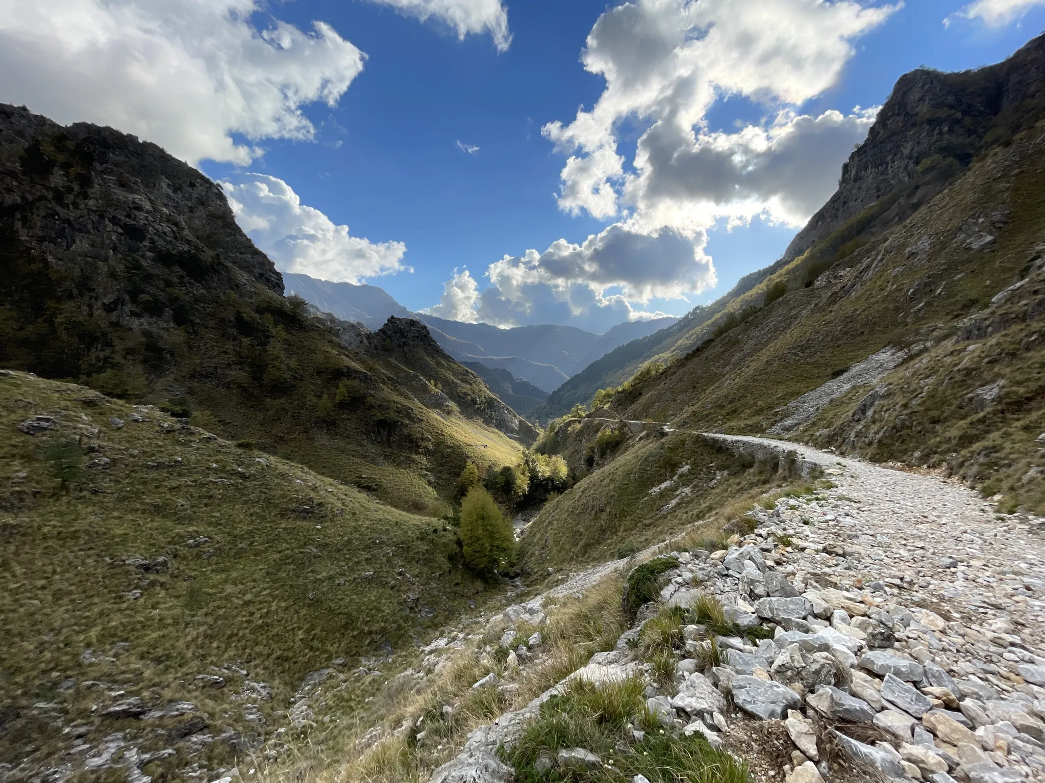
18th-century route from Modena to Massa – Via Vandelli

Interiora - A Journey into the Remote Areas of Italy
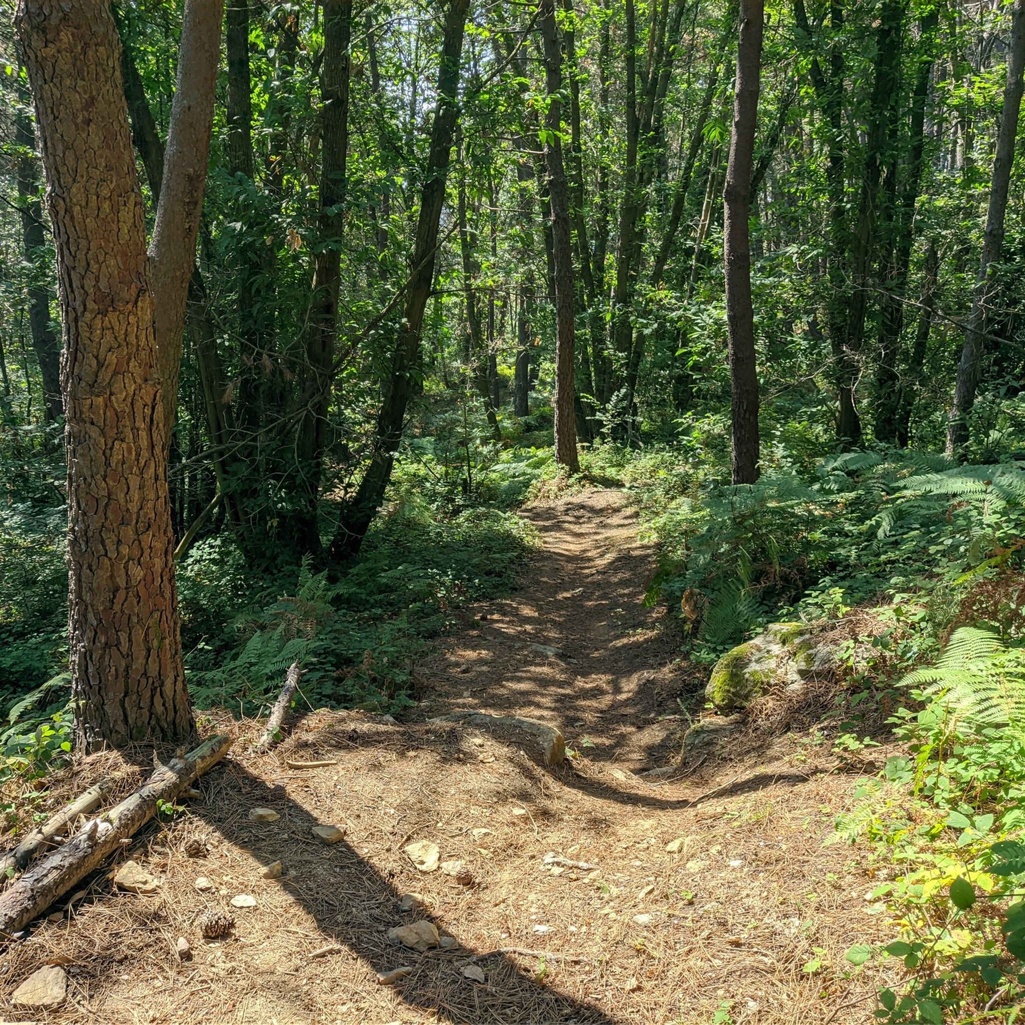
MTB Trails around Parco naturale regionale delle Alpi Apuane
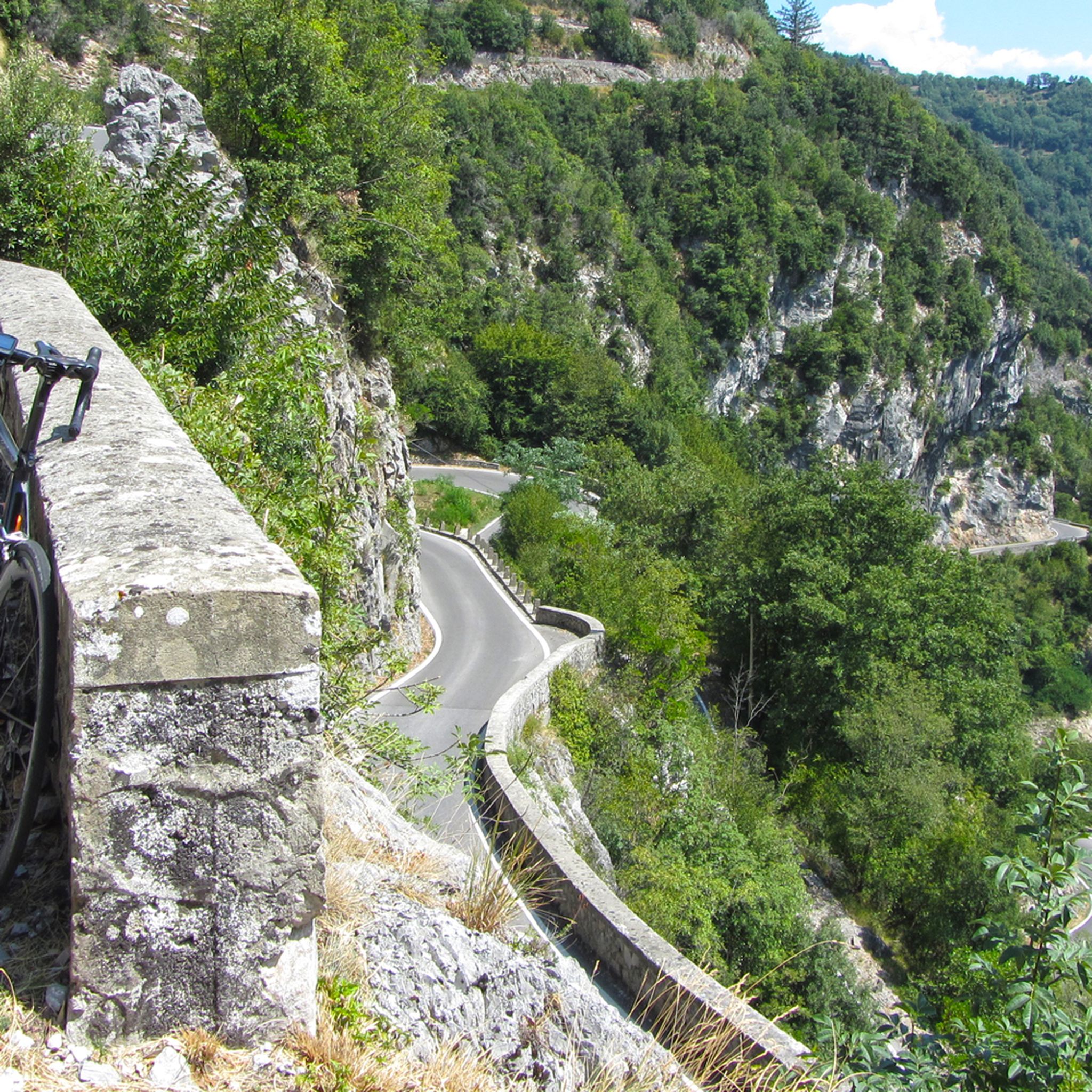
Road Cycling Routes around Parco naturale regionale delle Alpi Apuane
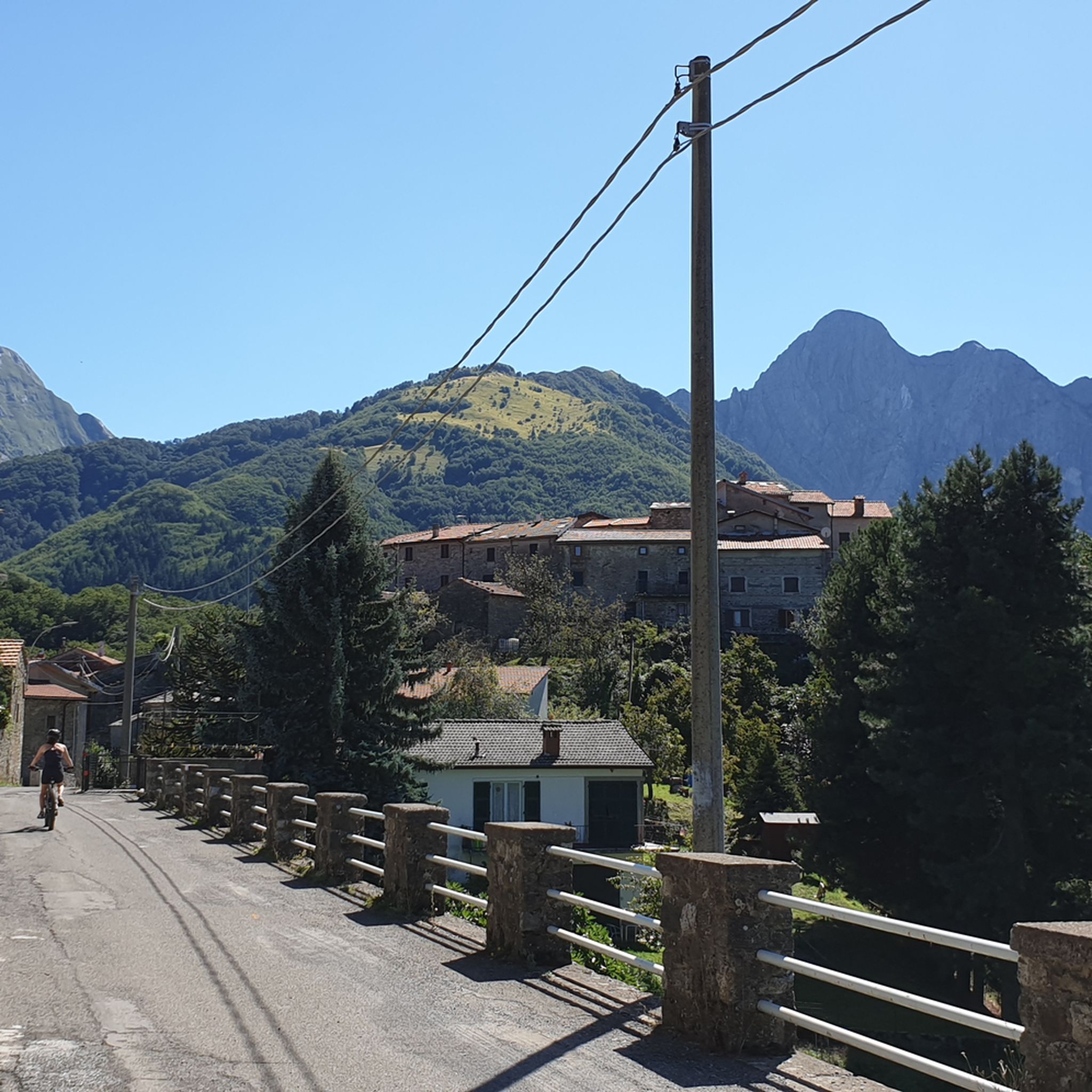
Cycling around Parco naturale regionale delle Alpi Apuane
Running Trails around Parco naturale regionale delle Alpi Apuane

Mountain Hikes around Parco naturale regionale delle Alpi Apuane

Gravel biking around Parco naturale regionale delle Alpi Apuane
Other adventures around Parco naturale regionale delle Alpi Apuane


Tips from the Community

Characteristic refuge in a beautiful location
0
0
Truly amazing panorama, on cloudless days you can see the sea
0
0

The construction of the hydroelectric dam, designed by Count Eng. Ignazio Prinetti Castelletti, began in 1941, slowed down during wartime, and was completed in 1947 under the supervision of SELT Valdarno (now Enel). In the period 1951-53, the dam was raised by about 30 m, bringing the overall height to about 88-92 m. The ordinary arch and gravity dam, built in concrete, has a crest 150 m long and 5 m wide, while the width at foundation level is about 70 m. The crest is accessible to the public all year round. The lake, artificially formed in 1947 by damming the Edron stream, constitutes the dam's reservoir. Upon filling, the rising lake waters submerged some villages, the main one being Fabbriche di Careggine, a small village of blacksmiths from Brescia, founded in the 13th century, which re-emerges with every emptying of the basin. Since the Vajont disaster, the basin has not been filled beyond 80% of its maximum capacity. The basin holds about 35 million cubic meters of water and is exceptionally emptied in case maintenance intervention is necessary. This has happened four times: in 1958, 1974, 1983, and 1994. In the latter year, almost 1 million tourists from all over the world arrived in Vagli.
0
0

Beautiful grassy plateau, from which you can see neither the sea of Massa Carrara nor the quarry area and, thanks to this isolation, it has something magical! It is reached with an easy walk of about half an hour from the Carrara refuge, in another half hour you can climb Mount Borla or the opposite "Zucco del latte" which offers excellent views. A very suitable place for eating, the only drawback is the lack of water.
0
0

Some summit crosses have no corpus, while others are adorned with the figure of the crucified Christ. But the most famous crucifix on the Italian peninsula leads us away from here into the Po Valley. There in the 'Bassa', the writer Giovanni Guareschi (1908 to 1968) set his popular short stories about the protagonists 'Don Camillo' and 'Peppone'. But besides the two, there is another main character: because Jesus Christ himself speaks from the high altar to the priest Don Camillo – whom the actor Fernandel (Fernand Joseph Désiré Contandin, 1903 to 1971) portrayed excellently in several feature films. The crucifix, originally made only for the film adaptations, has been preserved and has become a popular tourist attraction in Brescello (Emilia-Romagna). Via the following link, it can be virtually visited as a komoot highlight =>> https://www.komoot.com/de-de/highlight/6457013
0
0

Enrico Rossi Refuge, highly recommended!
0
0
The Cross of Callare di Matanna
0
0
Rifugio Alto Matanna, highly recommended!
0
0
Frequently Asked Questions
How many hiking trails are there in Parco naturale regionale delle Alpi Apuane?
There are over 500 hiking routes available in Parco naturale regionale delle Alpi Apuane, catering to various skill levels. This includes approximately 45 easy routes, over 200 moderate trails, and more than 260 difficult ascents for experienced hikers.
What makes hiking in the Apuan Alps unique?
The Apuan Alps are renowned for their distinctive marble mountains and extensive karst topography, featuring deep valleys and steeply sloping peaks. Hikers can experience diverse landscapes, from dense forests to alpine meadows, often with panoramic views extending to the Tyrrhenian Sea and even Corsica on clear days.
What kind of terrain can I expect on hikes in the Apuan Alps?
You can expect rugged and varied terrain. Trails often feature steep ascents and descents, rocky paths, and sections through forests and open alpine areas. The unique geology means you'll encounter landscapes sculpted from marble and metamorphic carbonate rocks.
Are there easy hiking options in Parco naturale regionale delle Alpi Apuane?
Yes, there are approximately 45 easy routes suitable for less experienced hikers or those seeking a relaxed stroll. An example is the Lake Vagli - Ring tour, which offers a gentle path around the scenic lake.
Are there challenging hikes for experienced trekkers in the Apuan Alps?
Absolutely. The region offers over 260 difficult routes, many involving significant elevation gain and rugged terrain. Trails like the Monte Nona Loop Trail from Stazzema provide demanding ascents and rewarding views for experienced hikers.
What natural landmarks can I explore while hiking in the Apuan Alps?
The Apuan Alps are rich in natural landmarks. A prominent feature is the spectacular Monte Forato Natural Arch, one of Italy's largest. You can also find numerous waterfalls carved by water erosion, and the famous Carrara Marble Quarries, which offer a unique insight into the region's geological and industrial heritage.
Are there any caves to visit near the hiking trails in the Apuan Alps?
Yes, the Apuan Alps are a subterranean wonderland with over 1,300 surveyed caves. The Grotta del Vento is a well-known cave system offering guided tours to explore its impressive stalactites, stalagmites, and underground formations. Other notable caves include the Wild Man's Den and All'Onda Cave.
What do other hikers enjoy the most about hiking in Parco naturale regionale delle Alpi Apuane?
The area is highly rated by the komoot community, with an average score of 4.5 stars from over 5000 reviews. Reviewers often praise the breathtaking panoramic views, the unique geological features like the marble mountains, and the diverse network of trails that cater to all levels of experience.
Are there any circular hiking routes in the Apuan Alps?
Yes, many trails in the Apuan Alps are designed as circular routes, allowing you to start and end at the same point. Popular examples include the Monte Sagro and Monte Spallone Loop and the Pania della Croce Loop from Piglionico, both offering comprehensive explorations of their respective areas.
What is the best time to visit Parco naturale regionale delle Alpi Apuane for hiking?
The best time for hiking in the Apuan Alps is generally from spring to autumn (April to October). Spring offers lush greenery and blooming wildflowers, while autumn provides pleasant temperatures and vibrant foliage. Summer can be hot, especially at lower altitudes, but higher trails offer cooler conditions. Winter hiking is possible but requires appropriate gear and experience due to snow and ice.
Are there any charming villages or points of interest near the hiking trails?
Yes, the park and its surroundings are dotted with historical villages. Colonnata is famous for its lard and serves as a starting point for excursions. Isola Santa, a partially abandoned village on the shores of a scenic artificial lake, is another picturesque spot. Vagli Lake also holds the submerged 'ghost town' of Fabbriche di Carreggine, visible during low water levels.
Most popular routes around Parco naturale regionale delle Alpi Apuane
Most popular attractions around Parco naturale regionale delle Alpi Apuane

Get inspired with the komoot mobile app


Explore more
Browse the best Hikes in other regions.
