The best road cycling routes around Parco naturale regionale delle Alpi Apuane
4.4
(1414)
37,948
riders
24
rides
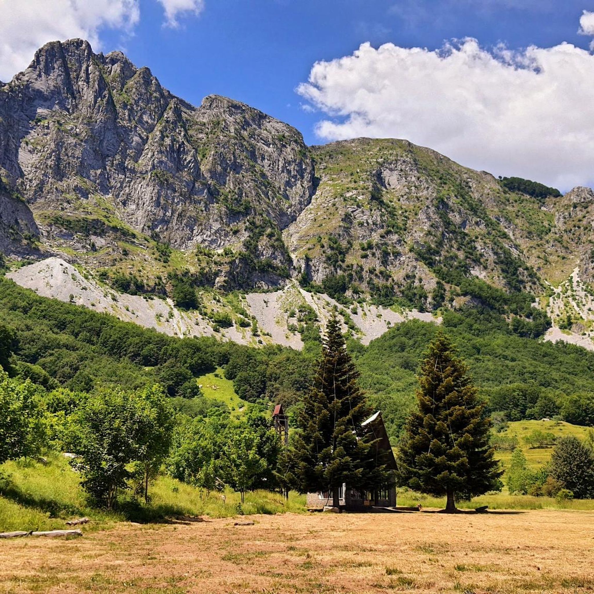
Road cycling around Parco naturale regionale delle Alpi Apuane features a landscape characterized by rugged peaks, deep valleys, and unique geological formations. This Tuscan mountain range offers routes with significant elevation gains, traversing quiet roads and providing views that extend to the Ligurian Sea. The region is known for its Carrara marble quarries and extensive karst phenomena, with peaks reaching nearly 2,000 meters.
Best road cycling routes around Parco naturale regionale delle Alpi Apuane
- The most popular road cycling route is Tour of the Garfagnana Lakes, a 48.7 miles (78.4 km) trail that takes 4 hours 46 minutes to complete. This difficult route offers spectacular views and demanding climbs around Lake Gramolazzo and Lake Vagli.
- Another top favourite among local road cyclists is Cerreto and Pradarena Passes Loop, a difficult 66.4 miles (106.8 km) path. This challenging route includes over 3,000 meters of elevation gain, ideal for experienced cyclists.
- Local road cyclists also love the Garfagnana Lakes Loop, a 31.6 miles (50.9 km) trail leading through areas with significant climbing, often completed in about 3 hours 11 minutes.
- Road cycling around Parco naturale regionale delle Alpi Apuane is defined by rugged peaks, deep valleys, and artificial lakes. The network offers options for different ability levels, from moderate rides to those requiring very good fitness.
- The routes in Parco naturale regionale delle Alpi Apuane are highly rated by the komoot community with an average score of 4.3 stars from over 300 reviews. More than 8,000 road cyclists have used komoot to explore Parco naturale regionale delle Alpi Apuane's varied terrain.
Last updated: August 30, 2026
5.0
(2)
162
riders
78.4km
04:46
2,090m
2,080m
Hard road ride. Very good fitness required. Some segments of this route may be unpaved and difficult to ride.
52
riders
107km
06:41
3,040m
3,030m
Hard road ride. Very good fitness required. Mostly well-paved surfaces and easy to ride.

Sign up for free
48
riders
50.9km
03:12
1,480m
1,480m
Hard road ride. Very good fitness required. Some segments of this route may be unpaved and difficult to ride.
35
riders
67.8km
04:12
1,880m
1,880m
Hard road ride. Very good fitness required. Some segments of this route may be unpaved and difficult to ride.
2
riders
20.6km
01:24
430m
430m
Moderate road ride. Good fitness required. Some segments of this route may be unpaved and difficult to ride.
Get access to more routes and recommendations from other explorers.
Sign up for free
Already have an account?
Our route recommendations are based on thousands of hikes, rides, and runs completed by other people on komoot.
Start today with a free account
Your next adventure awaits.
Login or Signup
Popular around Parco naturale regionale delle Alpi Apuane

Interiora - A Journey into the Remote Areas of Italy
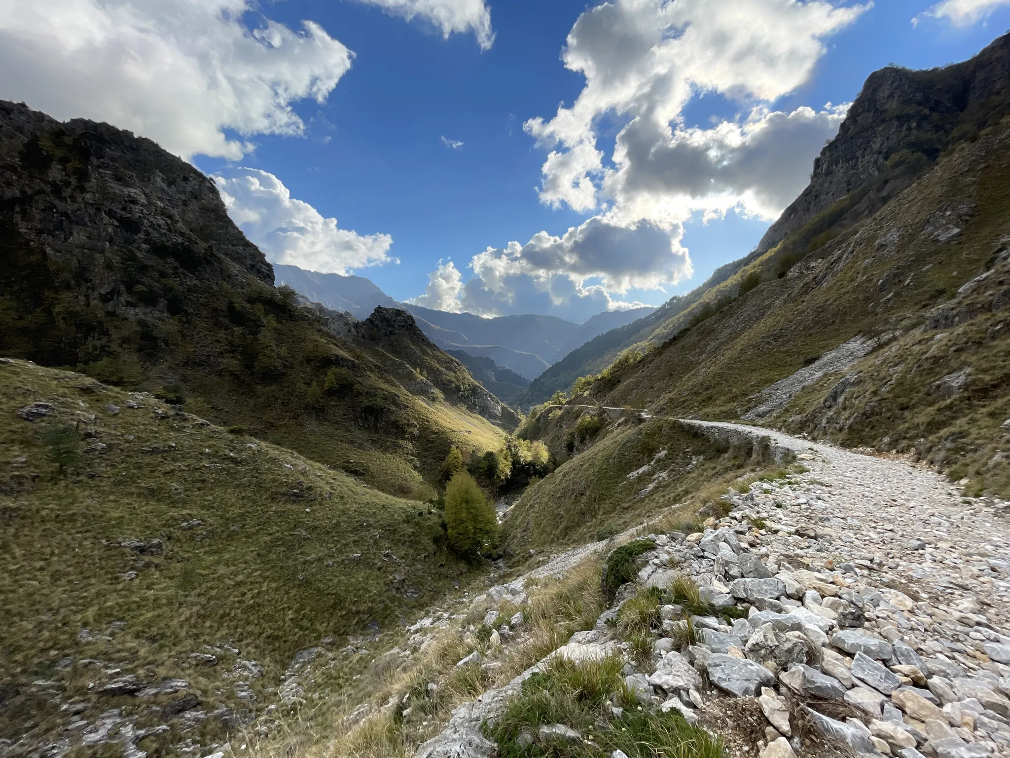
18th-century route from Modena to Massa – Via Vandelli
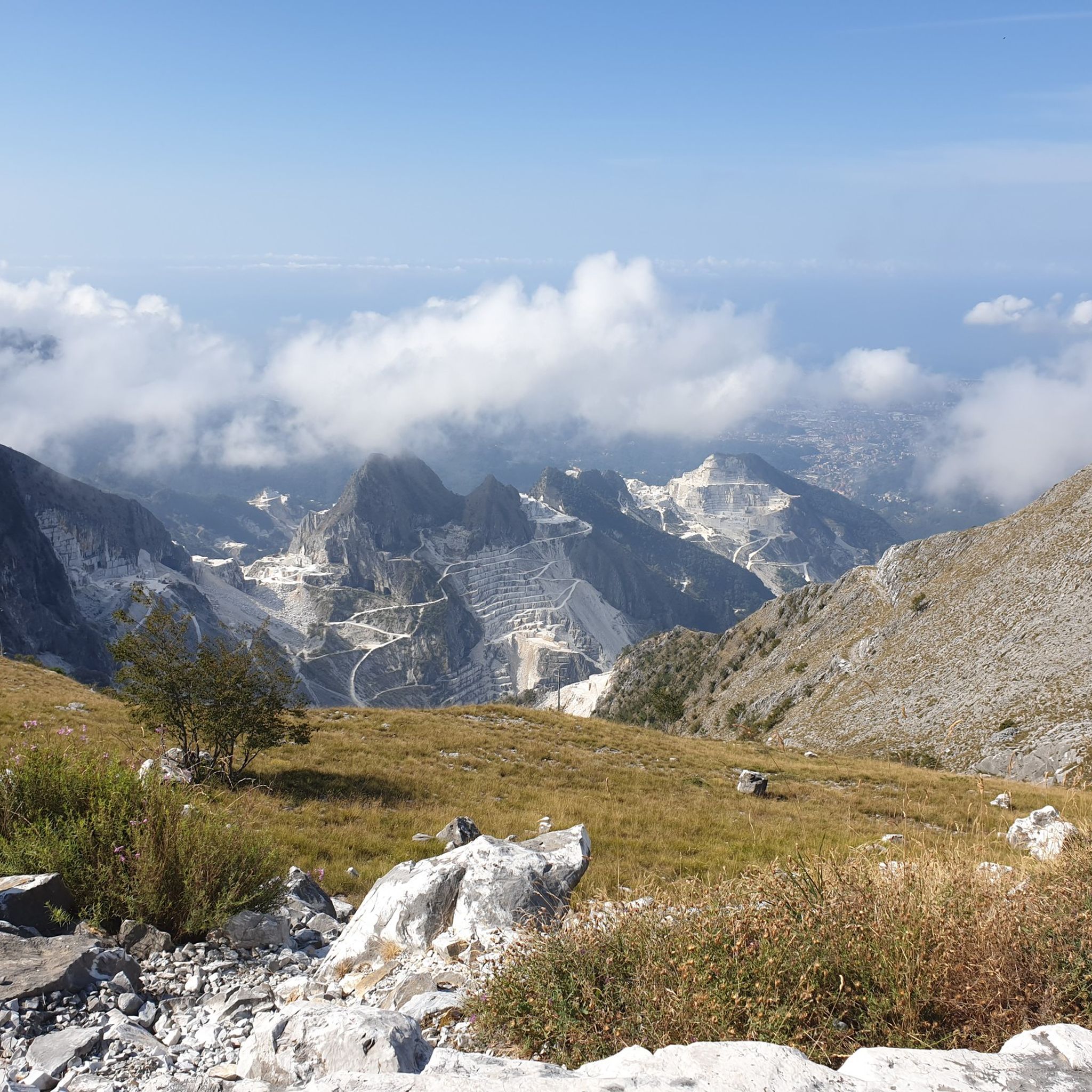
Hiking around Parco naturale regionale delle Alpi Apuane
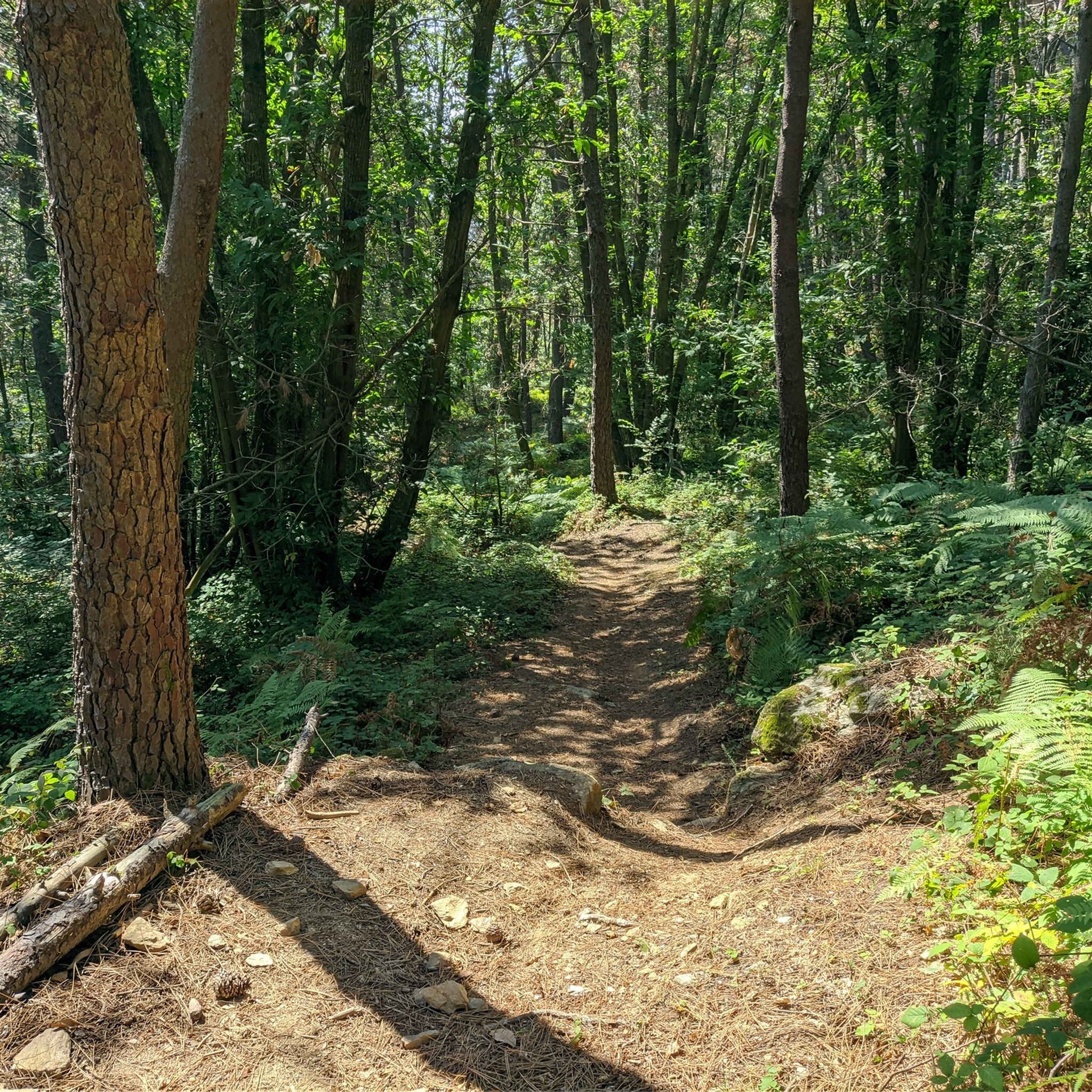
MTB Trails around Parco naturale regionale delle Alpi Apuane
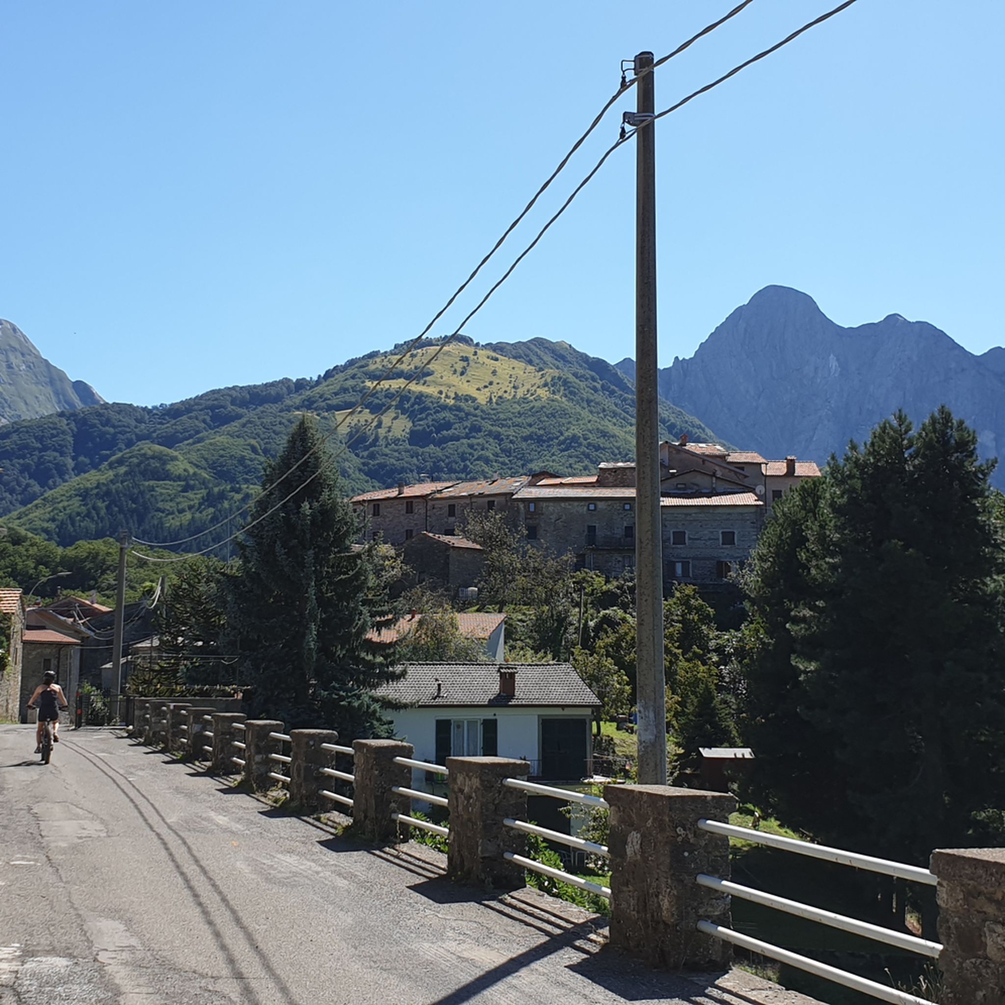
Cycling around Parco naturale regionale delle Alpi Apuane
Running Trails around Parco naturale regionale delle Alpi Apuane

Mountain Hikes around Parco naturale regionale delle Alpi Apuane

Gravel biking around Parco naturale regionale delle Alpi Apuane
Other adventures around Parco naturale regionale delle Alpi Apuane


Tips from the Community

The Passo del Cerreto is an important pass in the Tuscan-Emilian Apennines, located at an altitude of 1,261 meters. It separates Tuscany from Emilia-Romagna, connecting the province of Massa-Carrara (municipality of Fivizzano) with that of Reggio Emilia (municipality of Ventasso). The pass is entirely crossed by the State Road 63 (SS 63).
0
0

The lake of Gramolazzo is a lake in the Apuan Alps located near the homonymous village in the municipality of Minucciano. Of artificial origin, it was created in the second half of the 1900s, together with the lake of Vagli by SELT Valdarno for the hydroelectric use of the Serchio river and its tributaries. The lake, which has a surface area of one square kilometer and a volume of 3.8 million cubic meters, has both the Serchio di Gramolazzo as its inflow and outflow, one of the two branches that, joining near Piazza al Serchio, form the Tuscan river. Another important stream that flows into the lake is the Acqua Bianca stream, which coming from Mount Pisanino crosses the village of Gorfigliano. A large part of the water, however, is fed through a channel on the left bank, near the dam, which with a maximum flow rate of 20 cubic meters per second discharges the waters captured from the Serchio into the Sillano valley. The waters of the lake of Gramolazzo feed the Fabbriche power plant which in turn discharges them into the lake of Vagli.
0
0

There are no free parking spaces, the only parking lot belongs to the bar and is reserved for customers.
1
0

The place is cool and quiet during the week. Canoe rentals are available for lake excursions.
0
0


It can be reached both on asphalt and on a path. Always pleasant.
0
0

From Piazza al Serchio you climb for 20 km with an altitude gain of 1000 m with fairly constant gradients.
0
0
You have fully grasped the meaning of the octagon in the religious field. Great
0
0
Frequently Asked Questions
How many road cycling routes are available in Parco naturale regionale delle Alpi Apuane?
There are nearly 20 road cycling routes in Parco naturale regionale delle Alpi Apuane. These include 7 moderate routes and 12 difficult routes, catering to various fitness levels.
What kind of terrain can I expect when road cycling in the Alpi Apuane?
The Alpi Apuane offer a challenging and rewarding environment for road cyclists, characterized by rugged peaks, deep valleys, and significant elevation gains. Routes often feature steep gradients and stunning panoramas, with many traversing quiet roads in the foothills.
Are there any beginner-friendly road cycling routes in the Alpi Apuane?
While many routes in the Alpi Apuane are considered moderate to difficult due to the mountainous terrain, some options are less demanding. For example, the The villages of the Apuan Lunigiana - loop tour is a moderate route that covers 20.6 km with 431 meters of ascent, offering a good introduction to the region's cycling.
What are some of the most challenging road cycling routes for experienced riders?
Experienced cyclists seeking a challenge will find several demanding routes. The Cerreto and Pradarena Passes Loop is a difficult 106.8 km route with over 3,000 meters of elevation gain. Another demanding option is the Tour of the Garfagnana Lakes, a 78.4 km trail with significant climbs around Lake Gramolazzo and Lake Vagli.
What natural features and landmarks can I see along the road cycling routes?
The Alpi Apuane are rich in natural wonders. You can encounter majestic peaks, unique geological formations like the famous Carrara marble quarries, and extensive karst phenomena. Notable landmarks include the Monte Forato Natural Arch, one of Italy's largest natural arches, and picturesque artificial lakes such as Lake Vagli and Lake Gramolazzo.
Are there any circular road cycling routes in the region?
Yes, many of the road cycling routes in Parco naturale regionale delle Alpi Apuane are designed as loops, allowing you to start and finish in the same location. Examples include the Garfagnana Lakes Loop and the Lake Gramolazzo and Lake Vagli - loop from Gorfigliano.
What is the best time of year for road cycling in the Alpi Apuane?
The Alpi Apuane are generally best for road cycling from spring through autumn. During these seasons, the weather is more stable, and the mountain passes are typically clear of snow. Summer offers warmer temperatures, while spring and autumn provide pleasant conditions and vibrant landscapes.
What do other road cyclists enjoy most about cycling in Parco naturale regionale delle Alpi Apuane?
The area is highly rated by the komoot community, with an average score of 4.3 stars from over 300 reviews. Cyclists often praise the dramatic landscapes, the challenging climbs, and the stunning panoramic views that extend to the Ligurian Sea. The quiet roads and diverse natural attractions also contribute to a memorable cycling experience.
Are there places to stop for refreshments or accommodation along the routes?
The region is dotted with charming villages where you can find cafes, restaurants, and accommodation options. Additionally, there are several mountain huts, such as Nello Conti Hut and Rifugio Carrara CAI, which can serve as resting points or overnight stays, particularly on longer routes.
Where can I find parking for road cycling routes in the Alpi Apuane?
Parking is generally available in the villages and towns that serve as common starting points for routes. Specific parking information can often be found in the detailed route descriptions on komoot, or by checking local municipal websites for designated parking areas near trailheads.
Are there any viewpoints offering spectacular vistas along the road cycling routes?
Absolutely. The Alpi Apuane are renowned for their breathtaking views. Many routes offer sweeping panoramas from various vantage points, including the Campocecina plateau, where on clear days you can see the Tuscan archipelago and even Corsica. Mountain passes like Passo dei Carpinelli also provide stunning vistas.
Most popular routes around Parco naturale regionale delle Alpi Apuane
Most popular attractions around Parco naturale regionale delle Alpi Apuane

Get inspired with the komoot mobile app


Explore more
Browse the best Road cycling routes in other regions.
