The best running trails around Parco Naturale della Val Troncea
4.3
(17)
2,040
runners
91
runs
Jogging around Parco Naturale della Val Troncea offers routes through a U-shaped valley, shaped by glacial erosion, with contrasting slopes of woodlands and rugged rock walls. The Chisone stream flows through the valley floor, providing a natural focal point for many running paths. This alpine environment features extensive larch and stone pine woodlands, alpine flora, and glacial lakes, making it suitable for various running experiences.
Best jogging routes around Parco Naturale della Val Troncea
- The most popular jogging route is…
Last updated: July 1, 2026
7
runners
17.9km
03:25
1,210m
1,200m
Hard run. Very good fitness required. Sure-footedness, sturdy shoes and alpine experience required.
2
runners
13.8km
03:08
1,170m
1,180m
Hard run. Very good fitness required. Sure-footedness, sturdy shoes and alpine experience required.

Sign up for free
4
runners
6.11km
00:53
270m
280m
Hard run. Good fitness required. Sure-footedness, sturdy shoes and alpine experience required.
48
runners
13.4km
01:45
360m
350m
Hard run. Very good fitness required. Sure-footedness, sturdy shoes and alpine experience required.
10
runners
4.32km
00:33
70m
70m
Easy run. Great for any fitness level. Mostly paved surfaces. Suitable for all skill levels.
Get access to more routes and recommendations from other explorers.
Sign up for free
Already have an account?
Our route recommendations are based on thousands of hikes, rides, and runs completed by other people on komoot.
Start today with a free account
Your next adventure awaits.
Login or Signup
Popular around Parco Naturale della Val Troncea
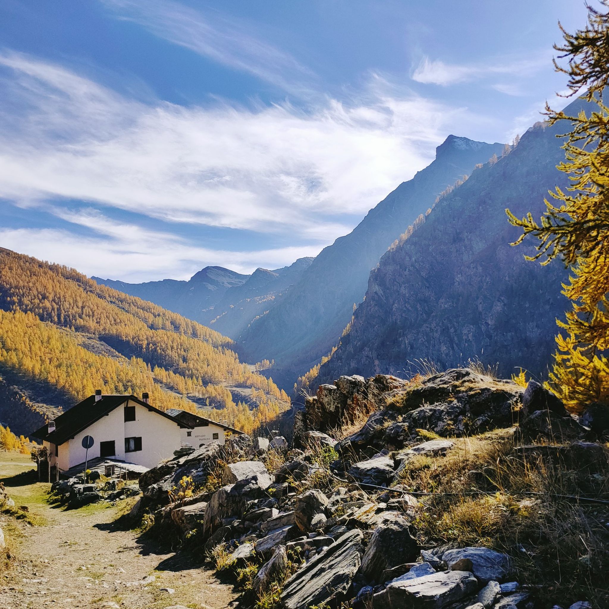
Hiking around Parco Naturale della Val Troncea
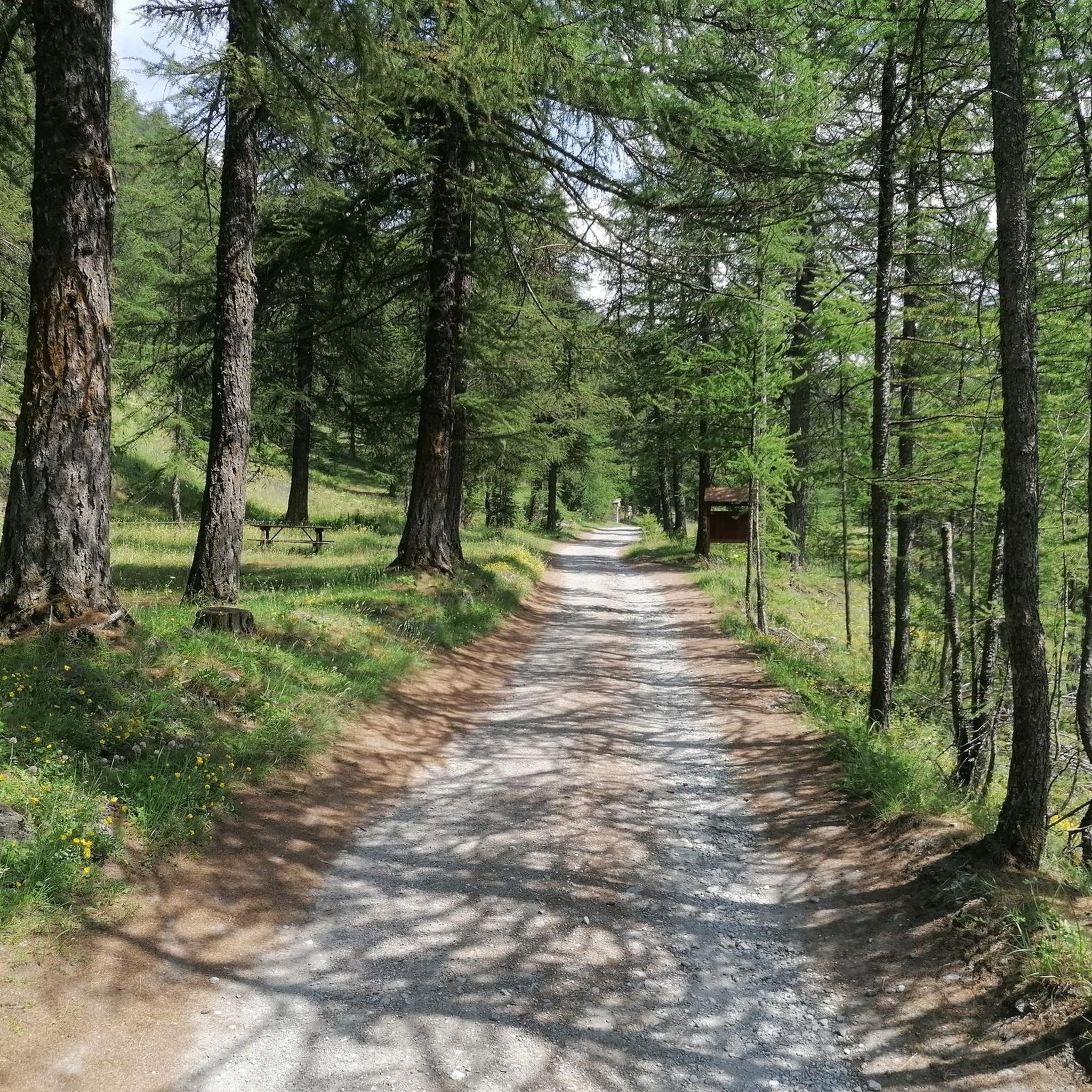
Road Cycling Routes around Parco Naturale della Val Troncea
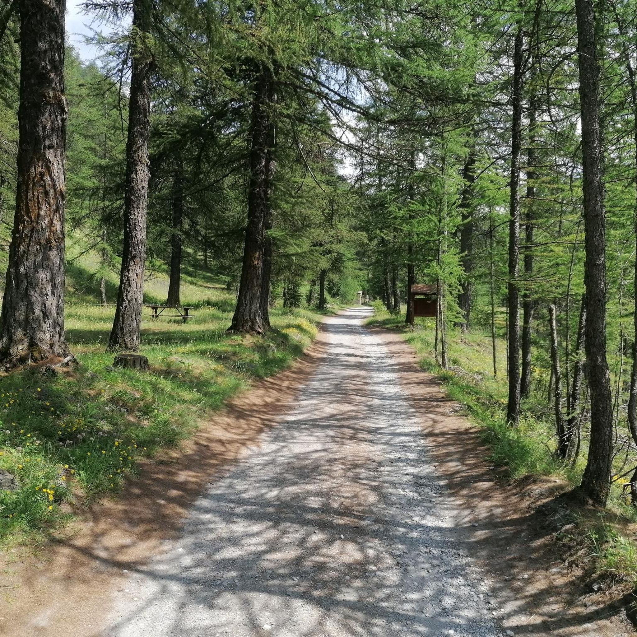
Cycling around Parco Naturale della Val Troncea

Gravel biking around Parco Naturale della Val Troncea
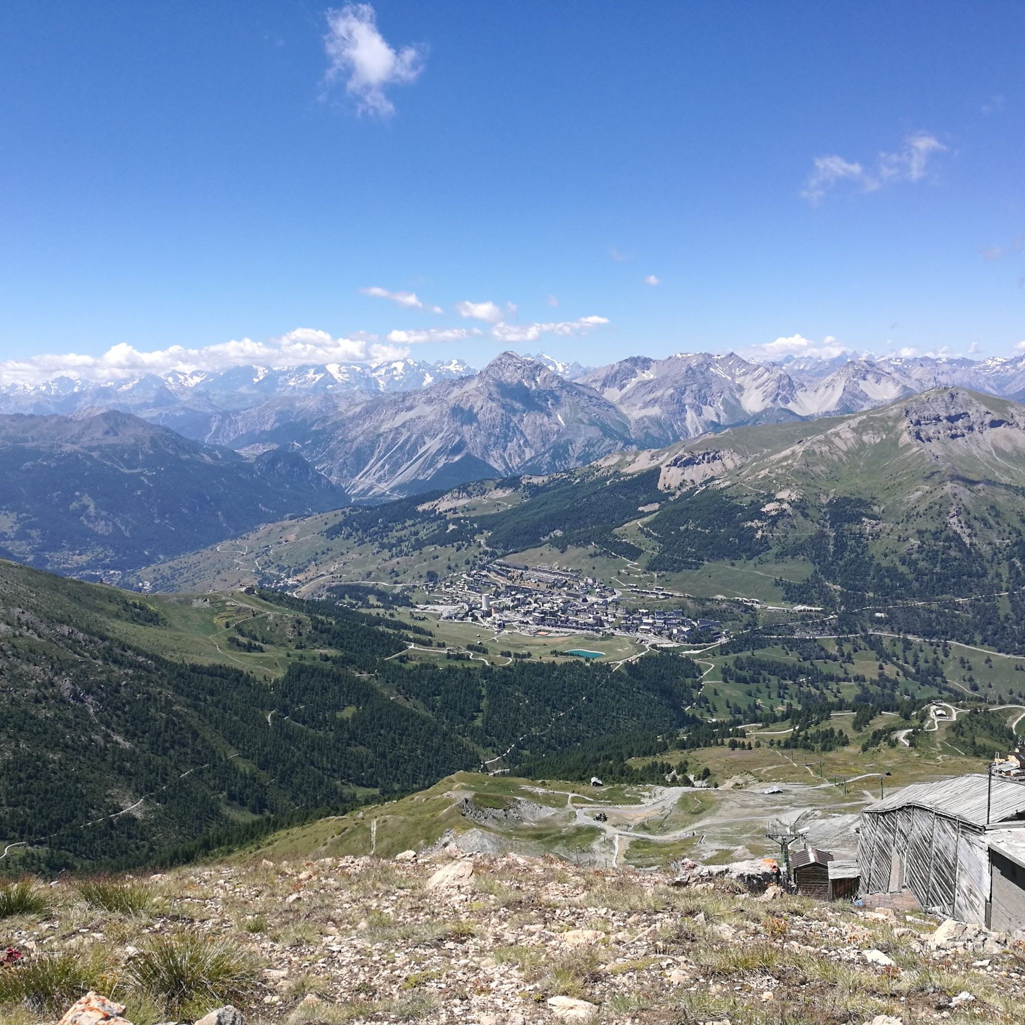
MTB Trails around Parco Naturale della Val Troncea
Mountain Hikes around Parco Naturale della Val Troncea
Tips from the Community

The refuge is also open during winter weekends and can be reached via a well-trodden and easy-to-follow path.
0
0


You can plan a nice tour starting from Pragelato, arriving at Alpe Meys and on the way back turn right for the Rifugio Troncea
0
0

Pleasant detour for those travelling along the main road of Val Troncea. It can be reached in just over a kilometre but in some places the slopes exceed 15%
1
0

For information and reservations: https://www.rifugiotroncea.com/
0
0

The Troncea Refuge, at 1915m in Val Troncea in Pragelato, is built on the ruins of an old hut, offers 40 beds and restaurant and bar services. It is open on weekends, holidays and continuously in summer.
1
0
The Sentiero degli Alpini is a fantastic route which, in this stretch on the crest of Monte Ruetas, offers a breathtaking view of the Val Troncea Park. The area is isolated and presents significant technical challenges, so is suitable for more experienced hikers.
1
0
Seytes, an ancient hamlet now abandoned in the Val Troncea Natural Park, was once lively with the production of dairy products. Now, among the ruins, you can meet curious marmots.
1
0
Frequently Asked Questions
How many running routes are available in Parco Naturale della Val Troncea?
The park offers a wide selection of running paths, with over 90 routes available for you to explore. These range from easy strolls along the valley floor to challenging ascents into the alpine peaks.
Are there any easy or beginner-friendly jogging routes in Val Troncea?
Yes, Parco Naturale della Val Troncea has several options suitable for beginners or those seeking an easier run. There are 6 easy routes, often following the gentle terrain alongside the Chisone stream, providing a pleasant introduction to the park's natural beauty.
What kind of terrain can I expect on the running trails in Parco Naturale della Val Troncea?
You'll find a diverse range of terrain, from dirt tracks along the Chisone stream to steeper ascents leading to waterfalls and pastures. Many routes follow old miner's mule tracks, offering a mix of natural paths and historical elements. The valley's U-shaped profile means you'll encounter both gently sloping, woodland-covered areas and more rugged rock faces.
Are there any circular running routes in the park?
Absolutely. Many of the park's trails are designed as loops, allowing you to start and finish at the same point. For example, the Colle del Beth – loop tour in the Val Troncea Natural Park is a challenging 17.9 km loop, and the Along the Torrente Chisone – loop in the Parco Naturale della Val Troncea offers a moderate 13.4 km option.
What can I see along the running routes in Parco Naturale della Val Troncea?
The routes offer a blend of natural beauty and historical interest. You can explore ancient military roads, former mines like the Beth Mine, and traditional hamlets such as Laval and Troncea. Keep an eye out for alpine flora, especially in the 'Valle dei Fiori' (Valley of Flowers), and enjoy the scenic Chisone stream. Highlights include the Troncea Hut and the Mine Trail.
Is Parco Naturale della Val Troncea suitable for challenging trail running?
Yes, the park is an excellent destination for challenging trail running. With 59 difficult routes, you can find demanding ascents and technical trails. The Monte Ruetas and Alpini Trail Loop is a difficult 13.8 km path that provides a demanding ascent and follows an historic Alpini trail.
What is the best season for running in Parco Naturale della Val Troncea?
The cool summers make it an ideal destination for running without the oppressive heat often found elsewhere. The 'Valle dei Fiori' is particularly vibrant with alpine flora during the warmer months. While some routes may be accessible in winter, the park's alpine nature means conditions can be challenging, so summer and early autumn are generally preferred.
Are there any mountain huts or refuges along the running trails?
Yes, the park features refuges such as Rifugio Mulino di Laval and Troncea Hut. These provide convenient rest stops and opportunities to experience local culture, including buying regional products. The Rifugio Troncea – Colle del Beth loop from Parco Naturale della Val Troncea is a popular route that passes by a mountain refuge.
What do other runners say about the trails in Parco Naturale della Val Troncea?
The running routes in Parco Naturale della Val Troncea are highly rated by the komoot community, with an average score of 4.4 stars from over 16 reviews. Runners often praise the stunning alpine scenery, the well-maintained trails, and the variety of terrain that caters to different fitness levels.
Can I expect to see any wildlife while running in the park?
Parco Naturale della Val Troncea is home to typical Alpine wildlife. You might spot chamois, ibex, roe deer, red deer, wild boar, and marmots. The park also hosts a variety of birds, including golden eagles and peregrine falcons, offering unique encounters during your run.
Are there any specific viewpoints or natural landmarks to look out for?
Beyond the general beauty of the U-shaped valley and the Chisone stream, you can find specific natural landmarks. The park features glacial lakes, such as the Beth Lakes, accessible via historical mining mule tracks. Peaks like Punta Rognosa and Bric Ghinivert Summit offer breathtaking views, though reaching them often involves more challenging routes.
Are there any long-distance running options in Val Troncea?
For those looking for longer runs, the park offers several routes that extend over significant distances. The Colle del Beth – loop tour in the Val Troncea Natural Park, at 17.9 km, provides a substantial and challenging experience through the alpine landscape.
Most popular routes around Parco Naturale della Val Troncea
Most popular attractions around Parco Naturale della Val Troncea

Get inspired with the komoot mobile app


Explore more
Browse the best Running Trails & Routes in other regions.
