The best MTB trails around Parco Naturale della Val Troncea
4.5
(1232)
8,048
riders
114
rides
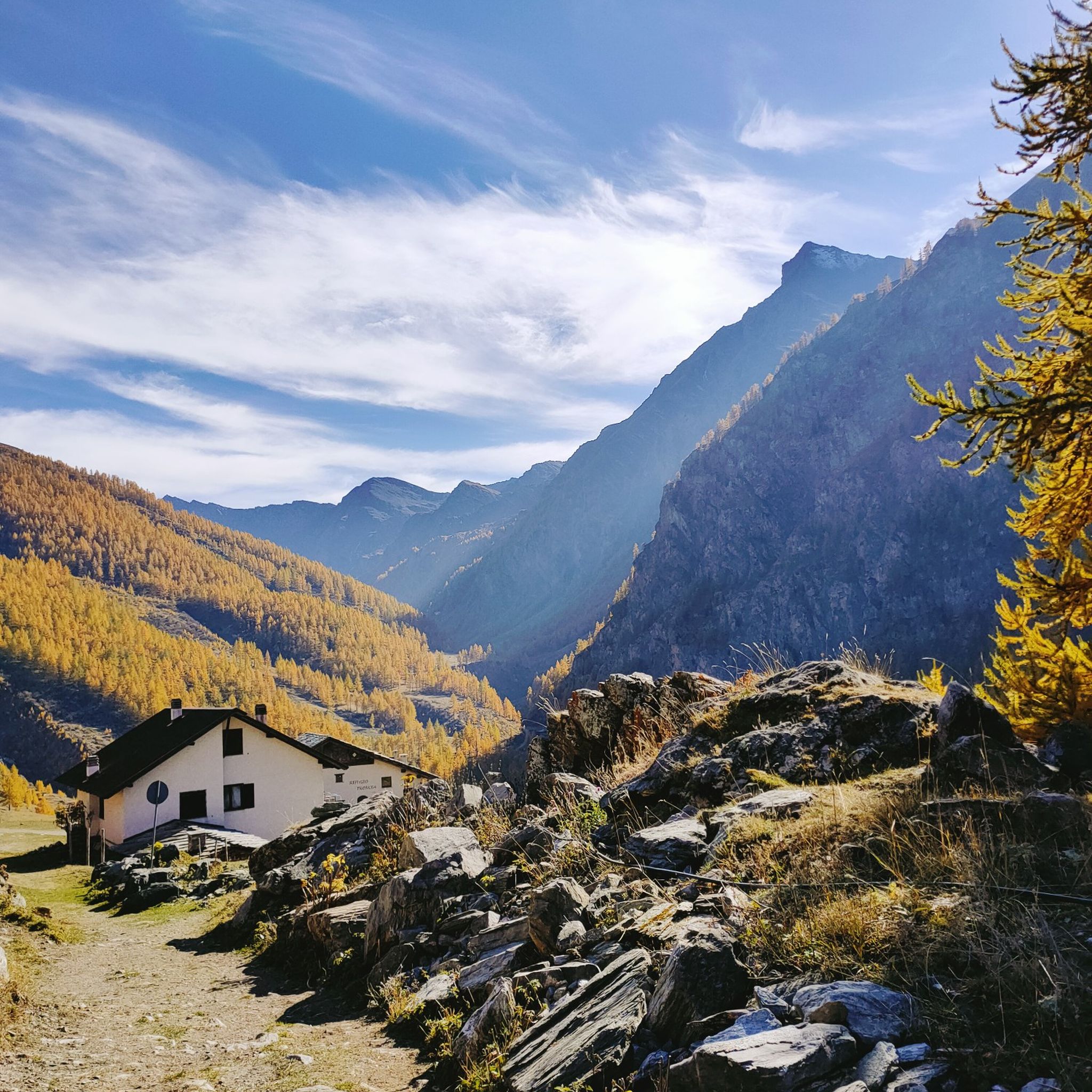
Mountain biking around Parco Naturale della Val Troncea offers diverse terrain within the Cottian Alps, characterized by a dramatic alpine environment with peaks exceeding 3,000 meters. The valley is shaped by the Chisone stream, featuring high-altitude pastures, dense larch and stone pine forests on one side, and rugged rock walls on the other. U-shaped valleys carved by ancient glaciers contribute to the varied routes available for mountain bikers.
Best mountain bike trails around Parco Naturale della Val Troncea
- The most…
Last updated: July 1, 2026
4.2
(6)
38
riders
20.3km
02:59
1,050m
1,050m
Hard mountain bike ride. Very good fitness required. Advanced riding skills necessary.
4.0
(2)
24
riders
11.6km
01:13
300m
300m
Easy mountain bike ride. Great for any fitness level. Suitable for all skill levels.

Sign up for free
4.3
(3)
45
riders
32.6km
03:27
1,060m
1,060m
Hard mountain bike ride. Very good fitness required. Suitable for all skill levels.
4
riders
23.0km
02:33
800m
800m
Hard mountain bike ride. Good fitness required. Advanced riding skills necessary. Some portions of the route may require you to push your bike.
5.0
(1)
7
riders
18.2km
02:52
1,120m
1,120m
Hard mountain bike ride. Very good fitness required. Advanced riding skills necessary. Some portions of the route may require you to push your bike.
Get access to more routes and recommendations from other explorers.
Sign up for free
Already have an account?
Our route recommendations are based on thousands of hikes, rides, and runs completed by other people on komoot.
Start today with a free account
Your next adventure awaits.
Login or Signup
Popular around Parco Naturale della Val Troncea
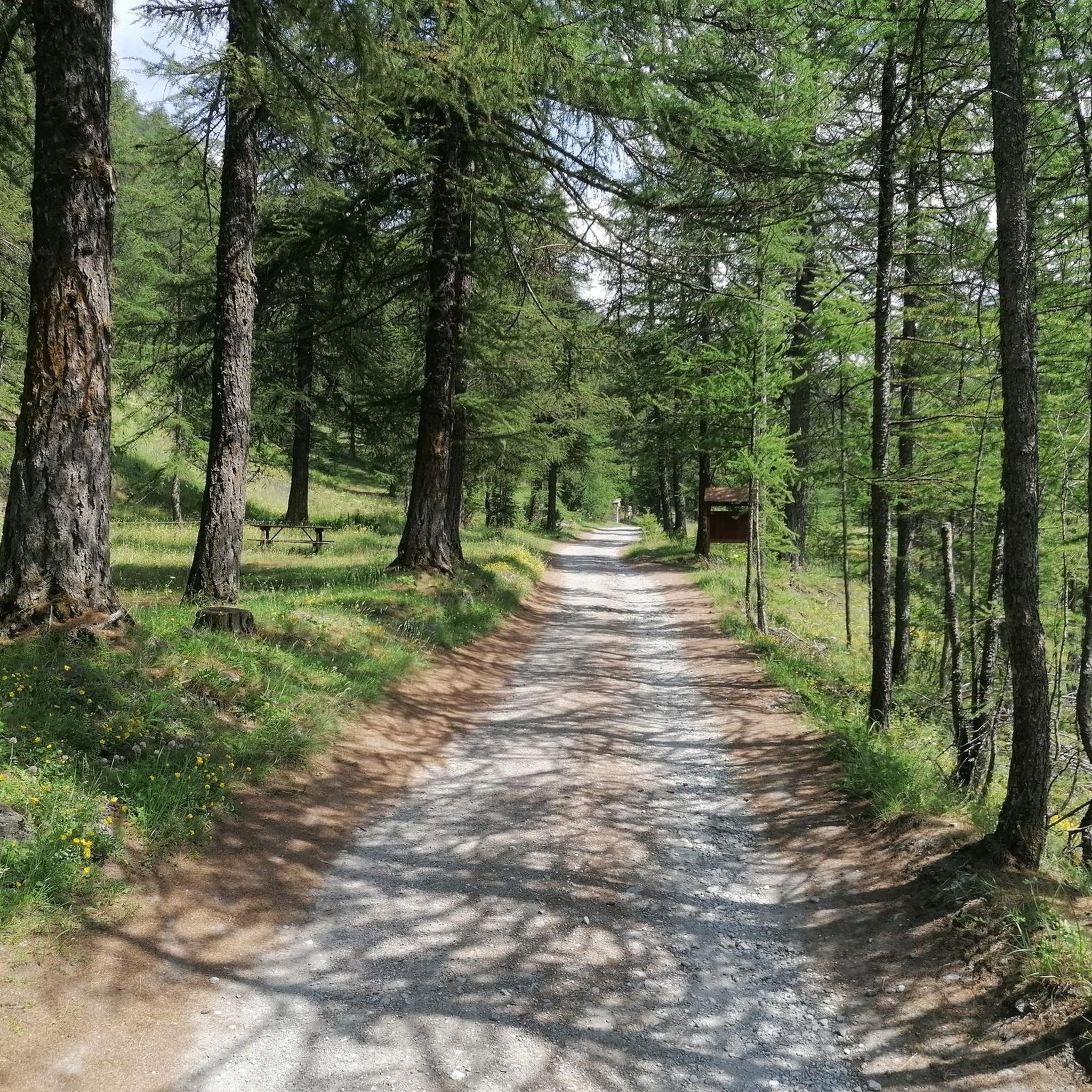
Hiking around Parco Naturale della Val Troncea
Road Cycling Routes around Parco Naturale della Val Troncea
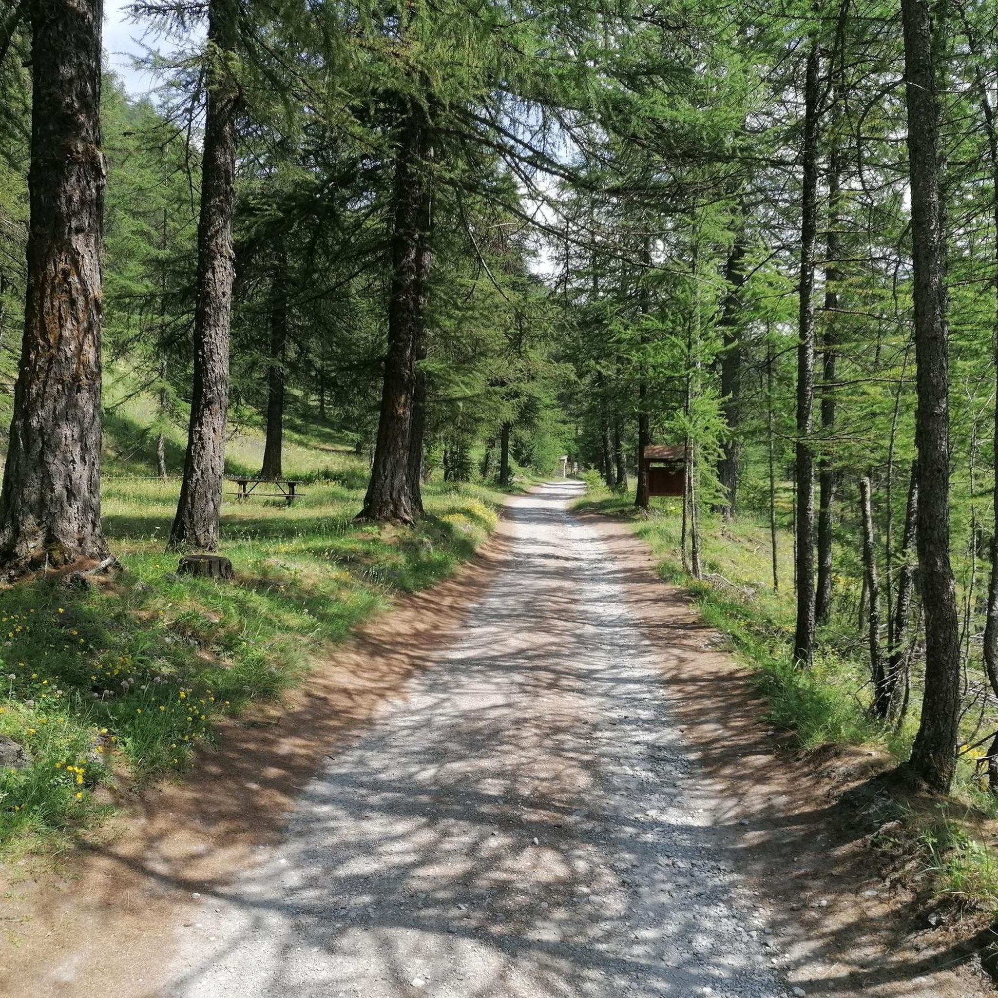
Running Trails around Parco Naturale della Val Troncea
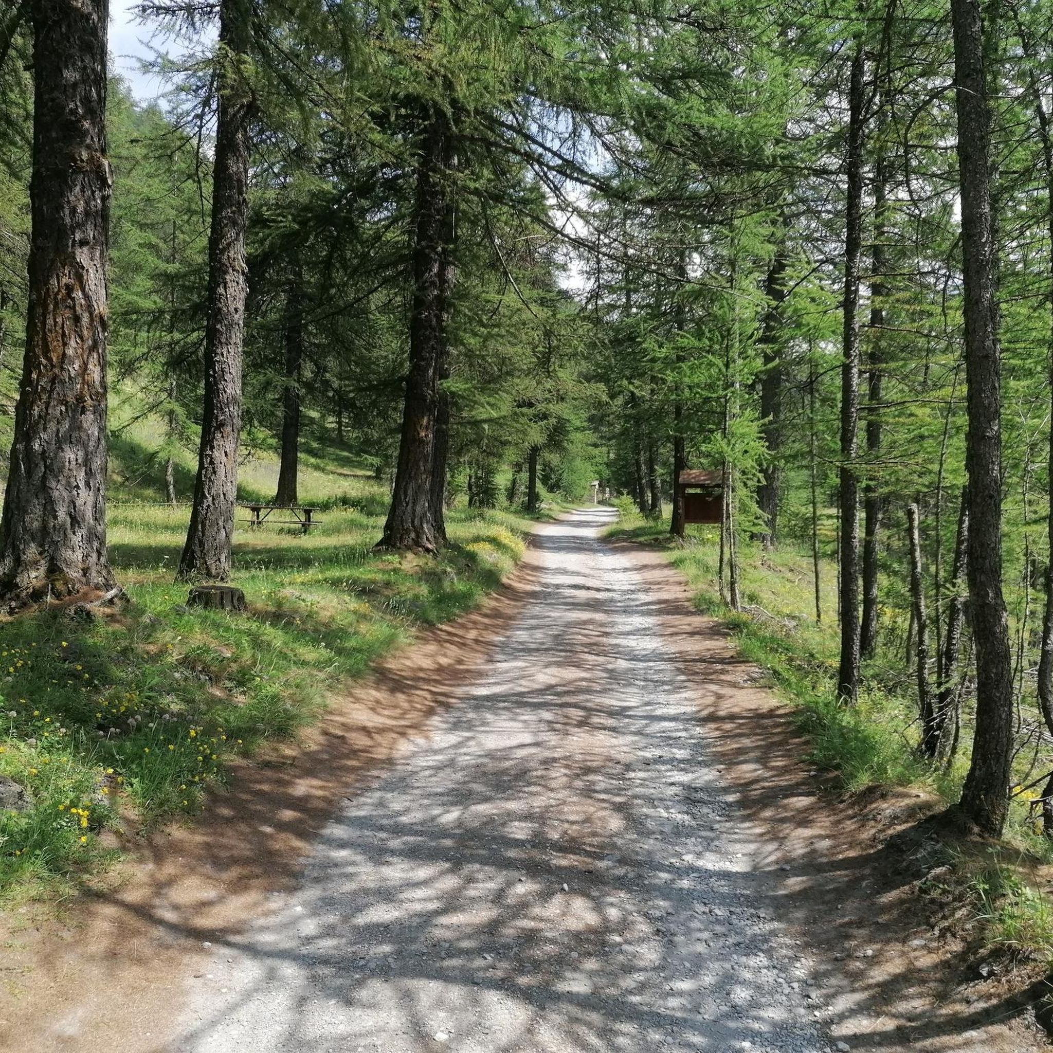
Cycling around Parco Naturale della Val Troncea

Gravel biking around Parco Naturale della Val Troncea
Mountain Hikes around Parco Naturale della Val Troncea
Tips from the Community

along the Chisone River
0
0
along the road that runs alongside the Chisone
0
0

You can find it on the path that starts from Sestriere in the Besse alto area
0
0

Fantastic place for families
0
0

Beautiful valley ideal for excursions suitable for everyone
1
0
It can be accessed by connecting it to the Assietta tour
0
0
It can be reached by going down the Assietta road
0
0

beautiful path surrounded by greenery
0
0
Frequently Asked Questions
What kind of mountain bike trails can I find in Parco Naturale della Val Troncea?
Parco Naturale della Val Troncea offers a diverse range of mountain bike trails, from easy, family-friendly paths to challenging gravel tours. The terrain varies from high-altitude pastures and dense larch forests to rugged rock walls and U-shaped valleys carved by ancient glaciers. Overall, there are over 100 mountain bike routes, with 18 easy, 37 moderate, and 49 difficult options available.
Are there easy mountain bike trails suitable for families?
Yes, the park features easy routes perfect for families. A notable option is From Pragelato to Alpe Mey – Val Troncea Natural Park loop from Pattemouche, an easy 7.2-mile (11.6 km) path. This route follows a dirt track alongside the Chisone stream, offering compact surfaces, minimal elevation changes, and is closed to motorized traffic, making it ideal for an immersive ride.
What about more challenging mountain bike routes in the area?
For experienced riders seeking a challenge, the park offers several demanding routes. One such option is Da Pattermouche alla Colle del Pis – giro ad anello nel Parco Naturale della Val Troncea, a difficult 12.6-mile (20.3 km) trail with significant elevation gain through alpine landscapes. Another challenging option is the Laval, Val Troncea – Val Troncea Natural Park loop from I galliformi delle Alpi occidentali, which covers 11.3 miles (18.2 km) with over 1,100 meters of ascent.
What natural features can I expect to see while mountain biking?
The park is rich in natural beauty. You'll encounter extensive high-altitude pastures, dense larch and stone pine forests, and dramatic rock walls. The Chisone stream, whose source is within the park, carves through U-shaped valleys, and you might even spot waterfalls along some routes. The area is also known for its diverse Alpine flora and fauna, including marmots, chamois, ibex, and golden eagles.
Are there any specific landmarks or points of interest along the trails?
Yes, several points of interest enhance the riding experience. You can explore old hamlets like Laval, Seytes, Troncea, and Jussaud, which showcase traditional valley life. The Mine Trail offers a glimpse into the area's human history. For stunning views, consider routes that pass near peaks like Punta Rognosa or Bric Ghinivert Summit.
When is the best time of year to go mountain biking in Val Troncea?
The cool summers make Val Troncea an ideal destination for mountain biking. The trails are typically clear of snow and offer pleasant temperatures for riding. While specific seasonal conditions can vary, late spring through early autumn generally provides the best weather for exploring the park's diverse terrain.
Are there any circular mountain bike routes available?
Yes, many routes in Parco Naturale della Val Troncea are designed as loops, allowing you to start and end at the same point. Examples include the easy From Pragelato to Alpe Mey – Val Troncea Natural Park loop from Pattemouche and the more challenging Valle Argentera – Sestriere loop from Valle Argentera, which covers 15.4 miles (24.7 km) through varied alpine terrain.
Is there parking available for mountain bikers?
While specific parking areas are not detailed for every trailhead, the region, particularly around Pragelato and the entrances to Val Troncea, typically offers designated parking facilities for visitors accessing the park. It's advisable to check local signage upon arrival for the most current information on parking availability and regulations.
Can I reach the park by public transport?
Public transport options to the Parco Naturale della Val Troncea are generally limited, especially for reaching specific trailheads deep within the park. The nearest main town, Pragelato, may have bus connections from larger urban centers, but accessing the more remote starting points for mountain biking often requires personal transport. It's recommended to research local bus schedules if planning to rely on public transport.
Are there options for food and accommodation within or near the park?
Yes, you can find options for food and accommodation. The Troncea Hut provides overnight stays, restaurant, and bar services within the park. Additionally, at places like Alpe Mey, you can often purchase local butter and cheeses directly from bergerias (shepherd's huts). The nearby town of Pragelato also offers various dining and lodging establishments.
What do other mountain bikers enjoy the most about mountain biking in Parco Naturale della Val Troncea?
The area is highly rated by the komoot community, with an average score of 4.6 stars from over 1200 reviews. Reviewers often praise the diverse terrain, from high-altitude pastures to dense forests, and the stunning alpine views. The variety of routes catering to different skill levels, from family-friendly paths to challenging gravel tours, is also frequently highlighted as a major draw.
Most popular routes around Parco Naturale della Val Troncea
Most popular attractions around Parco Naturale della Val Troncea

Get inspired with the komoot mobile app


Explore more
Browse the best MTB trails in other regions.
