The best road cycling routes around Parco Naturale della Val Troncea
4.7
(24)
2,805
riders
20
rides
Road cycling routes around Parco Naturale della Val Troncea traverse a U-shaped valley carved by ancient glaciers, set within the Cottian Alps. The terrain features a valley floor with woodlands and meadows, contrasting with rugged rock walls at higher elevations. The Chisone stream meanders through the valley, providing a consistent gradient in many areas suitable for road cycling. The park's landscape includes coniferous forests and historic hamlets, offering varied scenery for rides.
Best road cycling routes around Parco Naturale della…
Last updated: July 1, 2026
4.7
(3)
404
riders
34.3km
02:06
910m
910m
Hard road ride. Very good fitness required. Mostly well-paved surfaces and easy to ride.
75
riders
8.91km
00:36
230m
230m
Moderate road ride. Great for any fitness level. Some segments of this route may be unpaved and difficult to ride.

Sign up for free
8
riders
15.2km
00:56
390m
380m
Moderate road ride. Good fitness required. Mostly well-paved surfaces and easy to ride.
4.8
(8)
1,566
riders
93.8km
05:57
2,530m
2,530m
Hard road ride. Very good fitness required. Some segments of this route may be unpaved and difficult to ride.
4.7
(3)
128
riders
34.5km
02:07
940m
940m
Cycle the difficult Colle delle Finestre from Pragelato, a 21.4-mile paved route with 3100 feet of elevation gain and alpine views.
Get access to more routes and recommendations from other explorers.
Sign up for free
Already have an account?
Our route recommendations are based on thousands of hikes, rides, and runs completed by other people on komoot.
Start today with a free account
Your next adventure awaits.
Login or Signup
Popular around Parco Naturale della Val Troncea
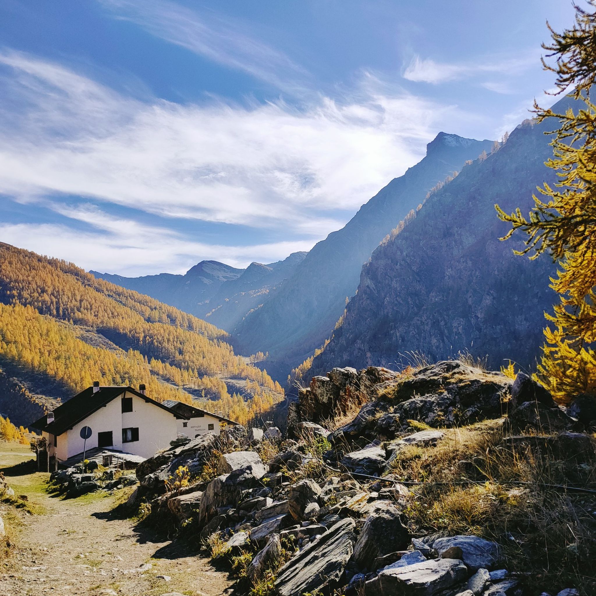
Hiking around Parco Naturale della Val Troncea
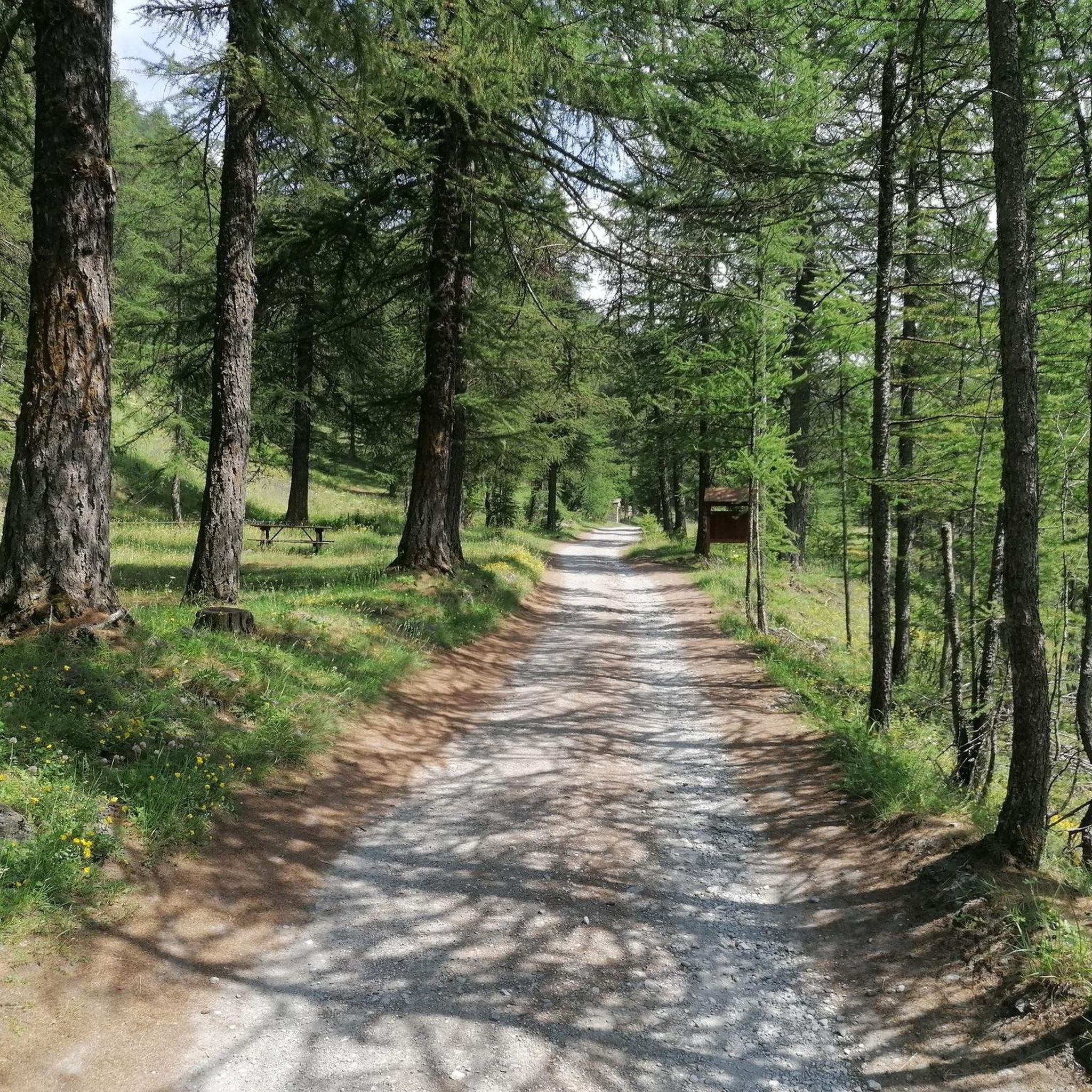
Running Trails around Parco Naturale della Val Troncea
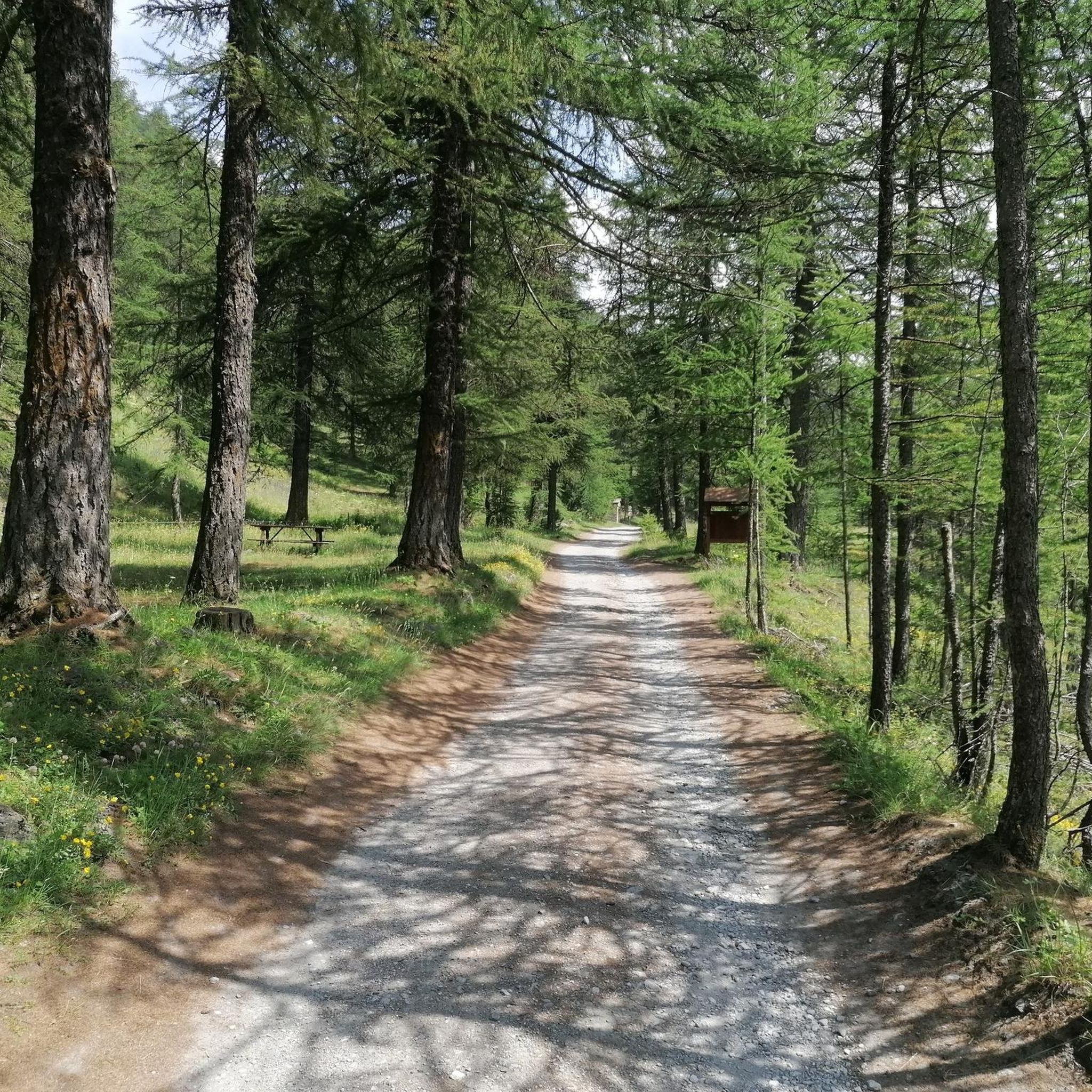
Cycling around Parco Naturale della Val Troncea

Gravel biking around Parco Naturale della Val Troncea
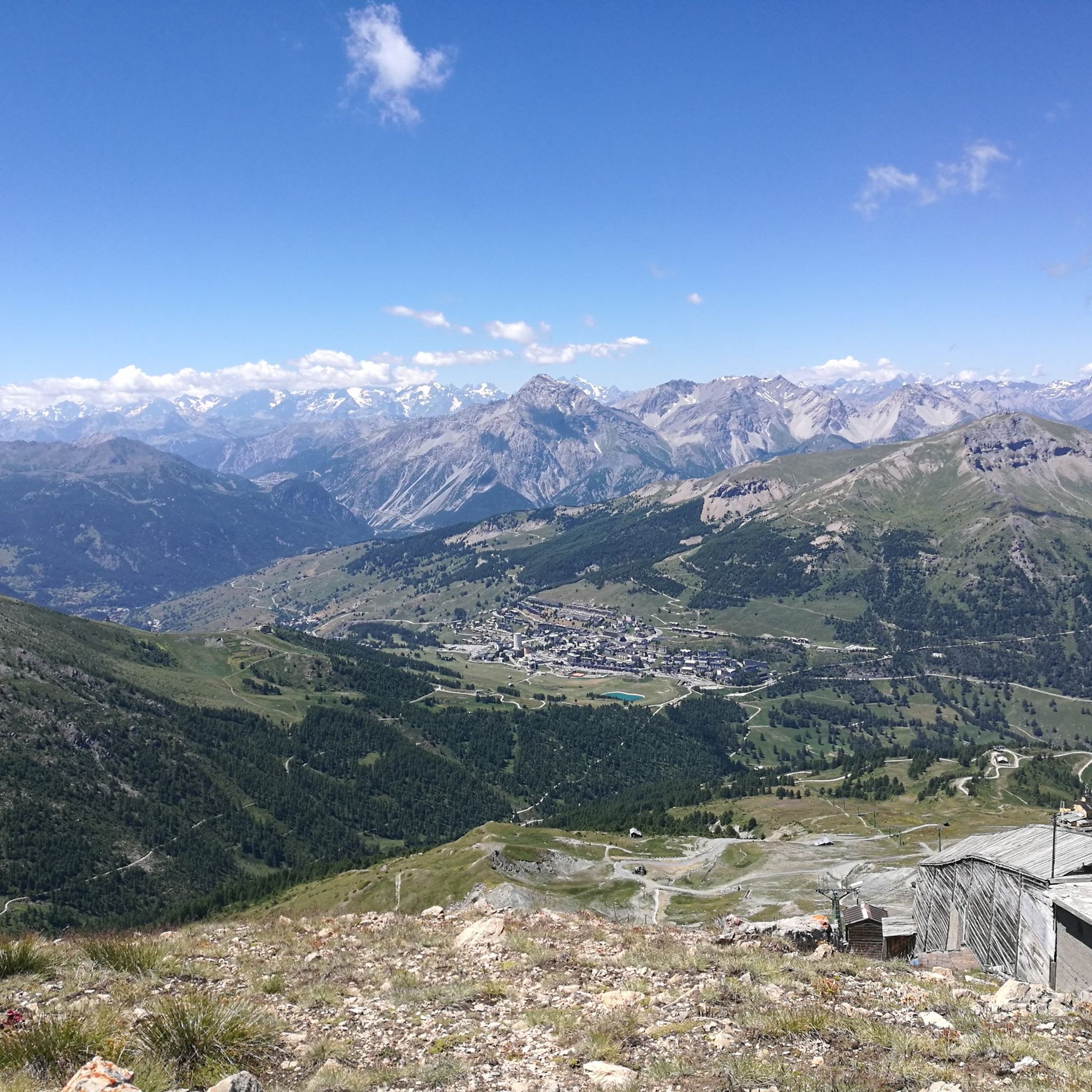
MTB Trails around Parco Naturale della Val Troncea
Mountain Hikes around Parco Naturale della Val Troncea
Tips from the Community

starting point for various Alpine tours
0
0

A beautiful climb to the famous Piedmontese ski resort; never prohibitive but moderately long.
4
0


Although the flag parade seen in some of the photos (which various users have uploaded to the highlight) could theoretically fit into a memorial for the victims of the two world wars – who came from many different nationalities – they do not belong in any context with the “Monumento ai caduti”.
0
0

A beautiful stretch that allows you to reach the Argentera Valley more easily, or with more effort Cima del Bosco
1
0

Despite its status as a tourist destination par excellence, it is beautiful and interesting. For us cyclists, the monument to Fausto Coppi, near the fountain marking the town center, is particularly interesting; the surrounding panorama, both architectural and mountainous, is truly beautiful. Worthy of note is the plaque that an Army captain dedicated to his horse Homer, originally buried on the Sestriere hill.
0
0

Sestriere 2035 MT. A well-deserved arrival at altitude suitable for a short break before descending
0
0
Rest stop before tackling the final 8 km climb to Sestriere (2035 m). Eat some protein and remember to bring water. The climb is always exposed to the sun. The average gradient is 6%.
0
0
Frequently Asked Questions
How many road cycling routes are available in Parco Naturale della Val Troncea?
There are over 15 road cycling routes around Parco Naturale della Val Troncea, offering a diverse range of experiences from moderate loops to challenging mountain climbs. The komoot community has explored these routes over 2900 times.
What is the general terrain and difficulty for road cycling in Val Troncea?
The terrain in Val Troncea is characterized by a U-shaped valley, offering relatively consistent gradients in some areas, ideal for road cycling. You'll find a mix of valley floors with woodlands and meadows, contrasting with rugged rock walls at higher elevations. The routes range from moderate, like the Sestriere loop from Sestriere, to difficult climbs such as the Arch of Augustus in Susa – Pian dell'Alpe loop from Sestriere, which features significant elevation gain.
Are there routes suitable for beginners or those seeking an easier ride?
Yes, while many routes offer a challenge, there are options for easier rides. The valley floor provides paths with more manageable inclines, allowing cyclists to enjoy the scenery without extreme difficulty. One easy route is available, and several moderate routes, like the Sestriere loop from Sestriere, are suitable for those looking for a less strenuous experience.
What natural features or landmarks can I expect to see while road cycling in Val Troncea?
Road cycling in Val Troncea offers stunning natural beauty. You'll pass through coniferous forests, alongside the meandering Chisone stream, and experience the 'valley of flowers' with abundant alpine flora. Notable natural features include the dramatic U-shaped valley itself. For panoramic views, you might consider routes that offer glimpses of peaks like Punta Rognosa.
Are there any historic sites or points of interest along the cycling routes?
Yes, the park is home to charming historic hamlets such as Laval, Seytes, Troncea, and Jussaud, which offer a glimpse into the region's traditional lifestyle. The Troncea Hut, built on the ruins of an old mountain hut, is another point of interest. You can also explore the area's industrial past along the Mine Trail.
What is the best time of year for road cycling in Parco Naturale della Val Troncea?
The warmer months are generally the best time for road cycling in Val Troncea. During this period, the 'valley of flowers' comes alive with vibrant alpine flora like edelweiss and rhododendrons, making for a particularly scenic ride. Always check local weather conditions before heading out, especially for higher altitude routes.
Are there any challenging road cycling routes for experienced cyclists?
Absolutely. For experienced road cyclists seeking a challenge, Val Troncea offers several difficult routes with significant elevation gains. The Colle delle Finestre Climb from Pragelato is a well-known route leading through mountain passes. Another demanding option is the Prali and Fenestrelle from Pragelato route, covering a substantial distance with considerable climbing.
Are there any circular road cycling routes in the park?
Yes, there are several circular road cycling routes available. For example, the Sestriere loop from Sestriere is a popular moderate option. Another, more challenging loop is the Arch of Augustus in Susa – Pian dell'Alpe loop from Sestriere, which takes you through diverse alpine landscapes.
What do other road cyclists enjoy the most about road cycling in Parco Naturale della Val Troncea?
The area is highly rated by the komoot community, with an average score of 4.8 stars from over 10 reviews. Reviewers often praise the stunning alpine scenery, the peaceful protected environment, and the variety of routes that cater to different skill levels, from valley floor rides to challenging mountain climbs.
Is there parking available for road cyclists in Val Troncea?
While specific dedicated cycling parking areas are not extensively detailed, access points to the park and nearby towns like Pragelato or Sestriere typically offer parking facilities. It's advisable to check local parking options in the vicinity of your chosen starting point for a route.
How can I access Val Troncea by public transport with my bike?
Public transport options to Val Troncea may be limited, especially for carrying bikes. It's recommended to research regional bus services or train connections to nearby towns like Pragelato or Sestriere and verify their bike transport policies in advance. Accessing the park by car and then cycling is often the most flexible option.
Are there any routes that offer views of the Chisone River?
Yes, the Chisone stream meanders through the valley, and many routes will offer picturesque views alongside it. The 'White Road Along the Chisone River' is specifically mentioned as a scenic route, suggesting opportunities to cycle directly alongside the river and enjoy its tranquil presence.
Most popular routes around Parco Naturale della Val Troncea
Most popular attractions around Parco Naturale della Val Troncea

Get inspired with the komoot mobile app


Explore more
Browse the best Road cycling routes in other regions.
