The best running trails around Parco naturale regionale dell'Antola
5.0
(2)
61
runners
10
runs
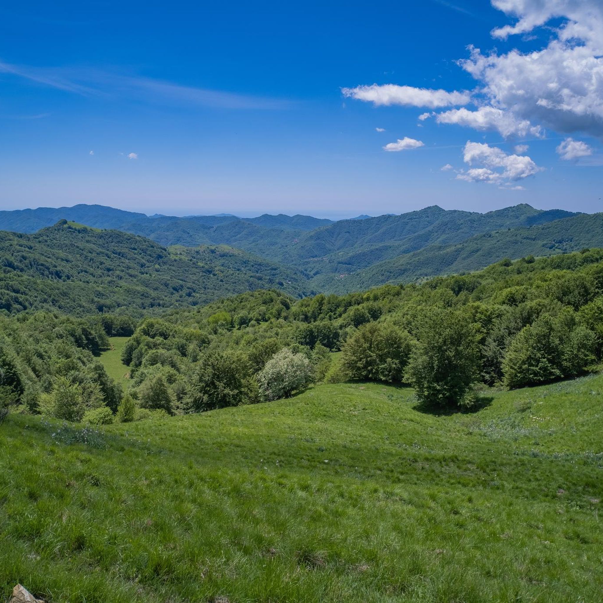
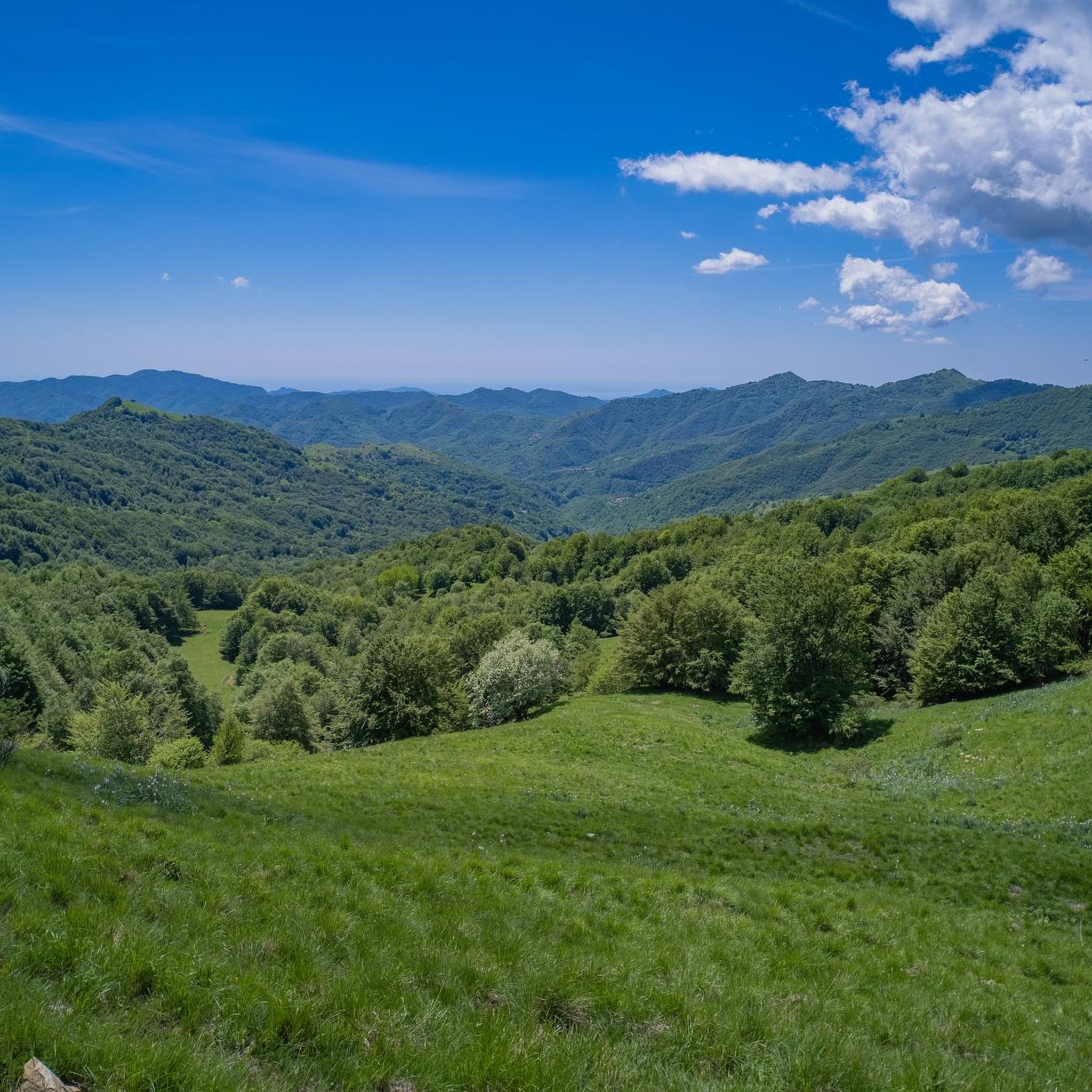
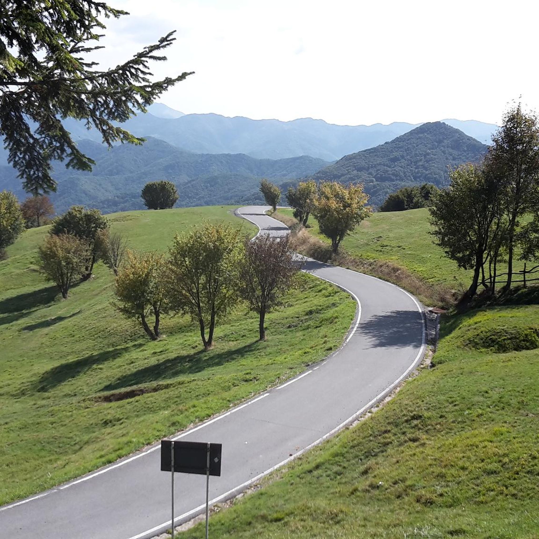
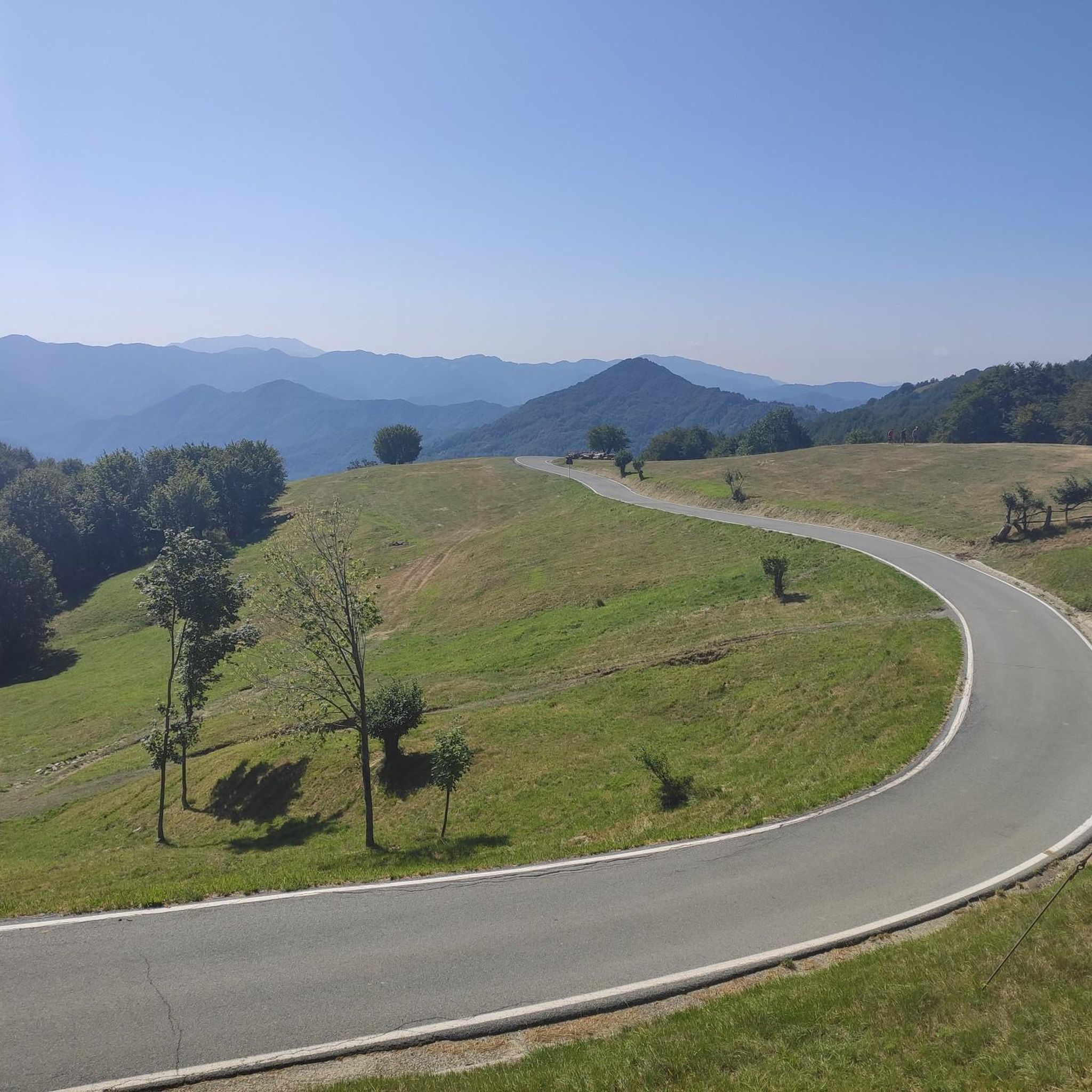
Jogging routes around Parco naturale regionale dell'Antola traverse the Ligurian Apennines, offering varied terrain suitable for different fitness levels. The park spans altitudes from 500 to 1,500 meters, featuring extensive trail networks that follow ancient mule tracks. Key geographical features include the upper Trebbia and Scrivia Valleys, the artificial Lago del Brugneto, and Monte Antola, the park's highest point. This diverse landscape provides a range of running experiences, from relatively flat paths to routes with significant elevation gains.
Best jogging…
Last updated: July 7, 2026
5.0
(1)
19
runners
13.4km
01:44
300m
300m
The Race tour around Lake Brugneto offers a moderate jogging experience through varied terrain, combining natural paths with some asphalt stretches. You will encounter several ups and downs, including a…
5.0
(1)
17
runners
Embark on a challenging jogging route from Casa del Romano to Monte Antola, covering 7.3 miles (11.7 km) with a significant 1173 feet (358 metres) of elevation gain. This difficult…

Sign up for free
9
runners
Prepare for a difficult jogging experience on the Monte Antola and Casa del Romano trail from Piancassina. This challenging route covers 11.4 miles (18.3 km) with a significant elevation gain…
2
runners
15.3km
02:20
680m
680m
Embark on a challenging jogging adventure along the Vallenzona - Sesenelle Pass - Monte Buio - Monte Antola Trail, a difficult route that takes you through the stunning Antola Natural…
1
runners
12.6km
02:01
560m
560m
Embark on a difficult jogging challenge along the Casa del Romano - Fontanarossa Loop Trail, covering 7.8 miles (12.6 km) with a significant elevation gain of 1839 feet (561 metres).…
Get access to more routes and recommendations from other explorers.
Sign up for free
Already have an account?
Our route recommendations are based on thousands of hikes, rides, and runs completed by other people on komoot.
Start today with a free account
Your next adventure awaits.
Login or Signup
Tips from the Community


Starting point for trekking.
18
0


Unfortunately this place is infested with ticks. Be very careful!
0
0

Is it swimmable?
0
0

Monte loved by the Genoese in summer and winter
0
0

beautiful and fun, definitely an experience to try at least once...
0
0

Frequently Asked Questions
How many running trails are available in Parco naturale regionale dell'Antola?
The park offers an extensive network of trails, with over 270 km (167 miles) of well-maintained paths, many following ancient mule tracks. Komoot features 10 dedicated jogging routes in the area, catering to various fitness levels.
What kind of terrain can I expect on the jogging routes in Parco naturale regionale dell'Antola?
You'll find a diverse range of terrain, from relatively flat paths around Lago del Brugneto to more challenging routes with significant elevation gains leading up to peaks like Monte Antola. The park spans altitudes from 500 to 1,500 meters, traversing valleys, forests, and mountain pastures.
Are there running routes suitable for beginners in Parco naturale regionale dell'Antola?
While many routes in the park are considered difficult due to elevation changes, there are options suitable for those looking for a less strenuous run. The Race tour around Lake Brugneto is a moderate 13.4 km trail with picturesque water views, offering a good option for a longer, relatively flat jog.
What are some notable natural features or landmarks I can see while running in the park?
Runners can enjoy panoramic views from Monte Antola, explore the shores of Lago del Brugneto, or pass by historical sites like Castello della Pietra. The park also features unique geological formations and vibrant wildflowers in spring and summer.
Are there any circular running routes in Parco naturale regionale dell'Antola?
Yes, several routes offer a circular experience. A popular option is the Race tour around Lake Brugneto, which encircles the reservoir. Another is the Casa del Romano - Fontanarossa Loop Trail, offering a challenging loop through varied landscapes.
What do other runners enjoy most about jogging in Parco naturale regionale dell'Antola?
The area is highly rated by the komoot community, with an average score of 5.0 stars. Runners often praise the stunning panoramic views, especially from Monte Antola, and the diverse natural environments that make each run unique.
Are there any family-friendly running routes in Parco naturale regionale dell'Antola?
While many routes involve significant elevation, the relatively flat sections around Lago del Brugneto can be suitable for families looking for a less strenuous outing. Always check the route's difficulty and distance to ensure it matches your family's capabilities.
Can I bring my dog on the running trails in Parco naturale regionale dell'Antola?
Generally, dogs are permitted on trails within the park, but it's always advisable to keep them on a leash, especially in areas with wildlife or near livestock. Please respect local regulations and ensure your dog is well-behaved and doesn't disturb other users or the natural environment.
Are there places to park near the running trailheads?
Parking is typically available near popular starting points for trails, such as around Casa del Romano or near the access points to Lago del Brugneto. It's recommended to check specific route details for precise parking information.
What is the best time of year for running in Parco naturale regionale dell'Antola?
Spring and summer are particularly beautiful for running, as the park's meadows are vibrant with wildflowers like gentian and orchids. Autumn offers stunning foliage. While winter running is possible, some higher-altitude trails may be covered in snow, requiring appropriate gear and caution.
Are there any challenging running routes for experienced runners?
Absolutely. For experienced runners seeking a challenge, routes like Monte Antola and Casa del Romano from Piancassina offer an 18.3 km trail with significant elevation gain, leading through diverse landscapes and providing a demanding workout.
Are there any facilities or refuges along the running routes?
Yes, Casa del Romano, located near the summit of Monte Antola, serves as a refuge and also hosts an astronomical observatory, providing a potential rest stop or point of interest on longer excursions.
Most popular routes around Parco naturale regionale dell'Antola
Most popular attractions around Parco naturale regionale dell'Antola

Get inspired with the komoot mobile app


Explore more
Browse the best Running Trails & Routes in other regions.
