The best cycling routes around Parco naturale regionale dell'Antola
4.5
(163)
1,847
riders
108
rides
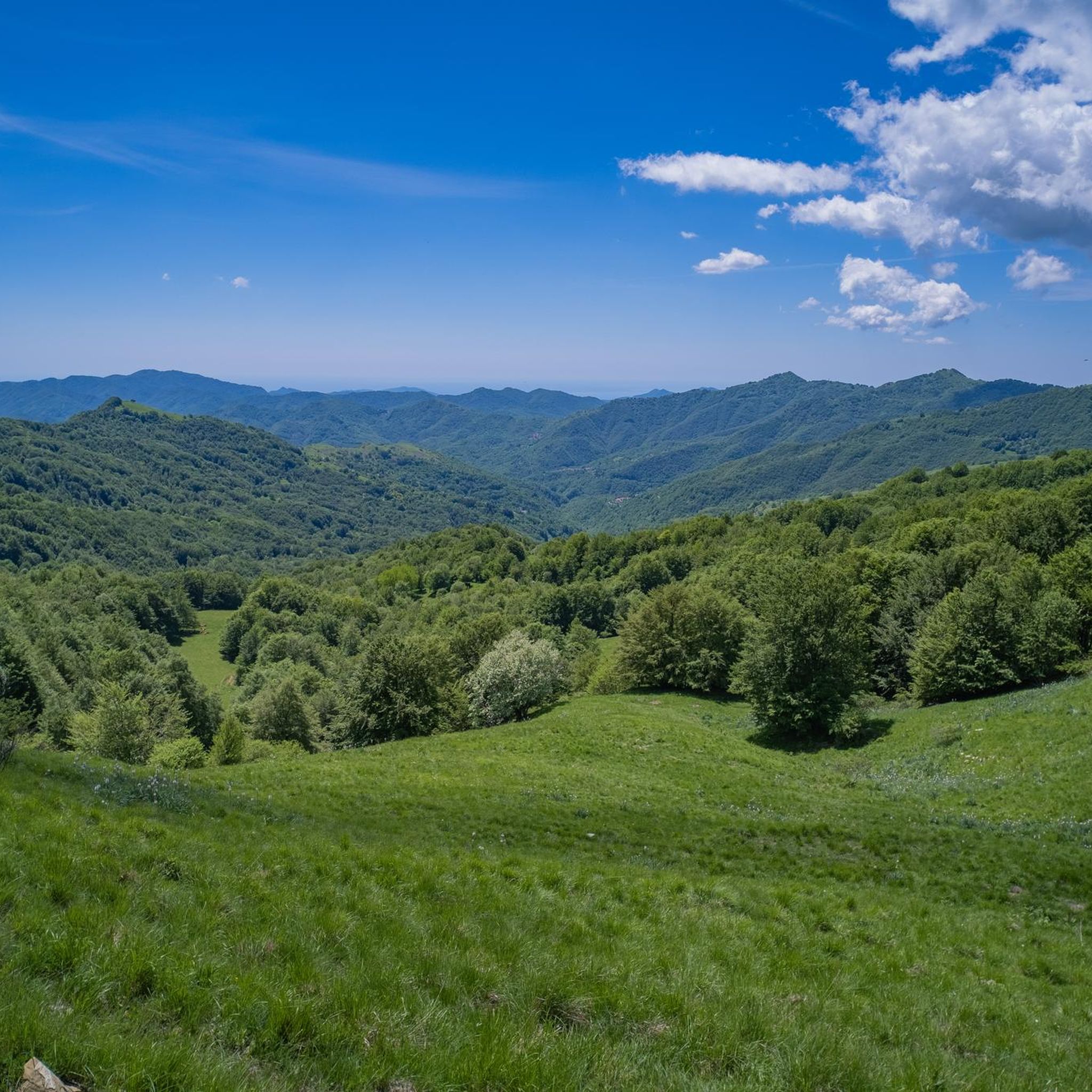
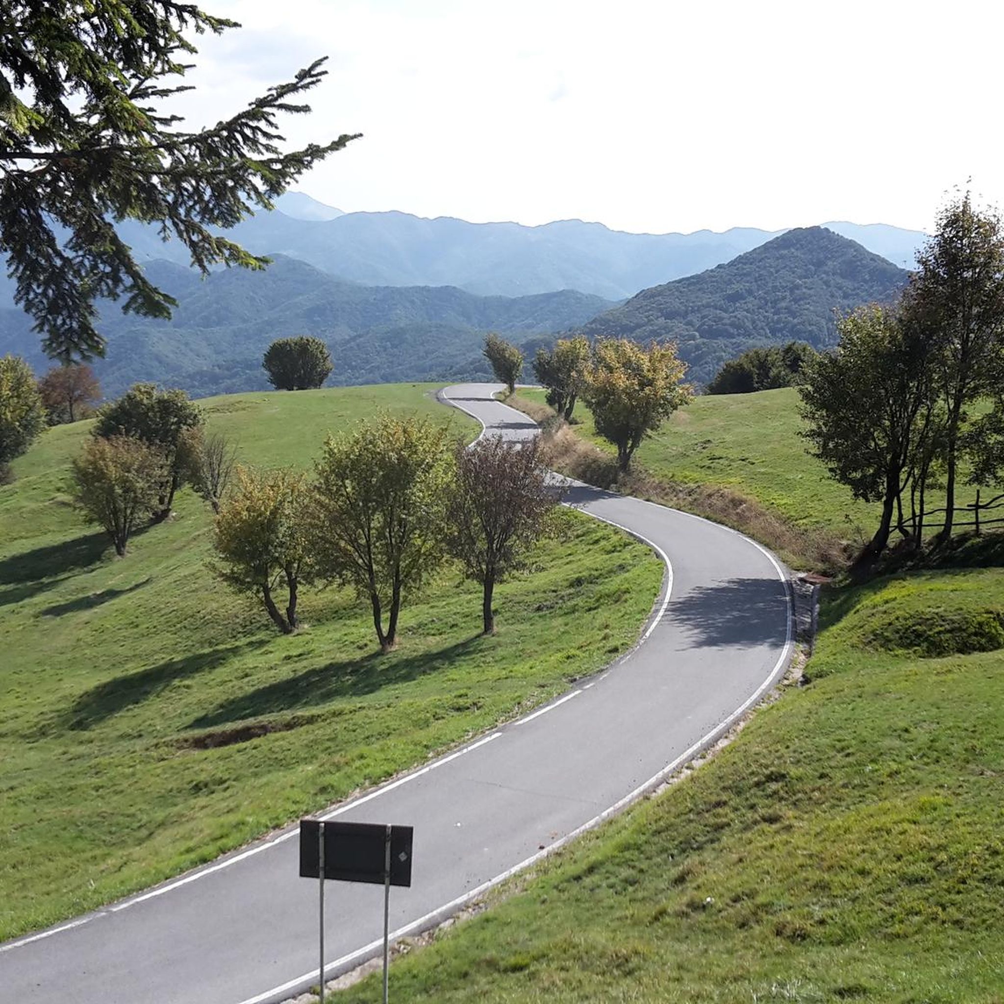
Touring cycling routes around Parco naturale regionale dell'Antola traverse a diverse landscape within the Ligurian Apennines, with altitudes ranging from 500 to 1,500 meters. The region features thick forests, open pastures, and rugged slopes, encompassing the upper Trebbia and Scrivia valleys. A notable feature is Lago del Brugneto, an artificial reservoir with a 14-kilometer trail encircling its shores. The park's geography offers varied terrain suitable for touring cyclists.
Best touring cycling routes around Parco naturale regionale dell'Antola
- The most popular…
Last updated: July 1, 2026
4.7
(3)
52
riders
44.1km
03:03
780m
780m
Hard bike ride. Very good fitness required. Mostly paved surfaces. Suitable for all skill levels.
5.0
(1)
17
riders
32.2km
02:24
750m
750m
Hard bike ride. Very good fitness required. Mostly paved surfaces. Suitable for all skill levels.

Sign up for free
5.0
(2)
7
riders
38.4km
02:52
930m
920m
Hard bike ride. Very good fitness required. Mostly paved surfaces. Suitable for all skill levels.
5.0
(2)
5
riders
47.8km
03:33
1,110m
1,110m
Hard bike ride. Very good fitness required. Mostly paved surfaces. Suitable for all skill levels.
4.7
(9)
22
riders
47.3km
03:47
1,420m
1,420m
Hard bike ride. Very good fitness required. Mostly paved surfaces. Suitable for all skill levels.
Get access to more routes and recommendations from other explorers.
Sign up for free
Already have an account?
Our route recommendations are based on thousands of hikes, rides, and runs completed by other people on komoot.
Start today with a free account
Your next adventure awaits.
Login or Signup
Tips from the Community

Arrived at the end of the descent from the passo della Castagnola, right at the entrance to Borgo Scrivia, you will find this Romanesque bridge.
3
0
It is located by taking the variant for the Val Vobbia of the Apennine bike tour.
3
0
It is located along the Appennino bike tour route and, coming up from Voltaggio, it is an easy and very rewarding climb, both for the views and for the absence of traffic.
3
0

Isola del Cantone, in the province of Genoa, has medieval origins linked to its strategic position between the Scrivia and Vobbia rivers (hence Insula), originating around a Benedictine monastery in 1216.
14
0

The Beauty of Torriglia is a legend that symbolizes the village in the Ligurian Apennines. It tells of a young woman of extraordinary beauty, desired by all but never married—hence the Genoese proverb, "A l'é a bella de Torriggia: tutti a vêuan e nisciûn s'a piggia."
0
0
Beautiful town kept in excellent condition.
14
0

Excellent fountain with wash basin
0
0
Starting point for trekking.
18
0
Frequently Asked Questions
How many touring cycling routes are available in Parco naturale regionale dell'Antola?
There are over 115 touring cycling routes in Parco naturale regionale dell'Antola, offering a wide range of options for cyclists. These routes are highly rated by the komoot community, with an average score of 4.5 stars from over 120 reviews.
What is the best time of year for touring cycling in Parco naturale regionale dell'Antola?
The most favorable seasons for touring cycling in Parco naturale regionale dell'Antola are generally from spring through autumn. During these months, the weather is milder, and the paths are well-maintained, allowing for enjoyable exploration of the park's diverse landscapes.
What are the difficulty levels of touring cycling routes in Parco naturale regionale dell'Antola?
The routes in Parco naturale regionale dell'Antola cater to various experience levels. While the majority, about 93, are classified as difficult, there are also 20 moderate routes and 2 easy routes available. This variety ensures options for both seasoned cyclists and those looking for a more relaxed ride.
Are there any circular touring cycling routes in Parco naturale regionale dell'Antola?
Yes, many touring cycling routes in the park are circular. For example, you can explore the Brugneto Lake Loop, which takes you around the scenic Lago del Brugneto. Another option is the Castagnola Pass – Passo della Castagnola loop from Camarza, offering a challenging ride with significant elevation gain.
What kind of landscapes can I expect to see while touring cycling in Parco naturale regionale dell'Antola?
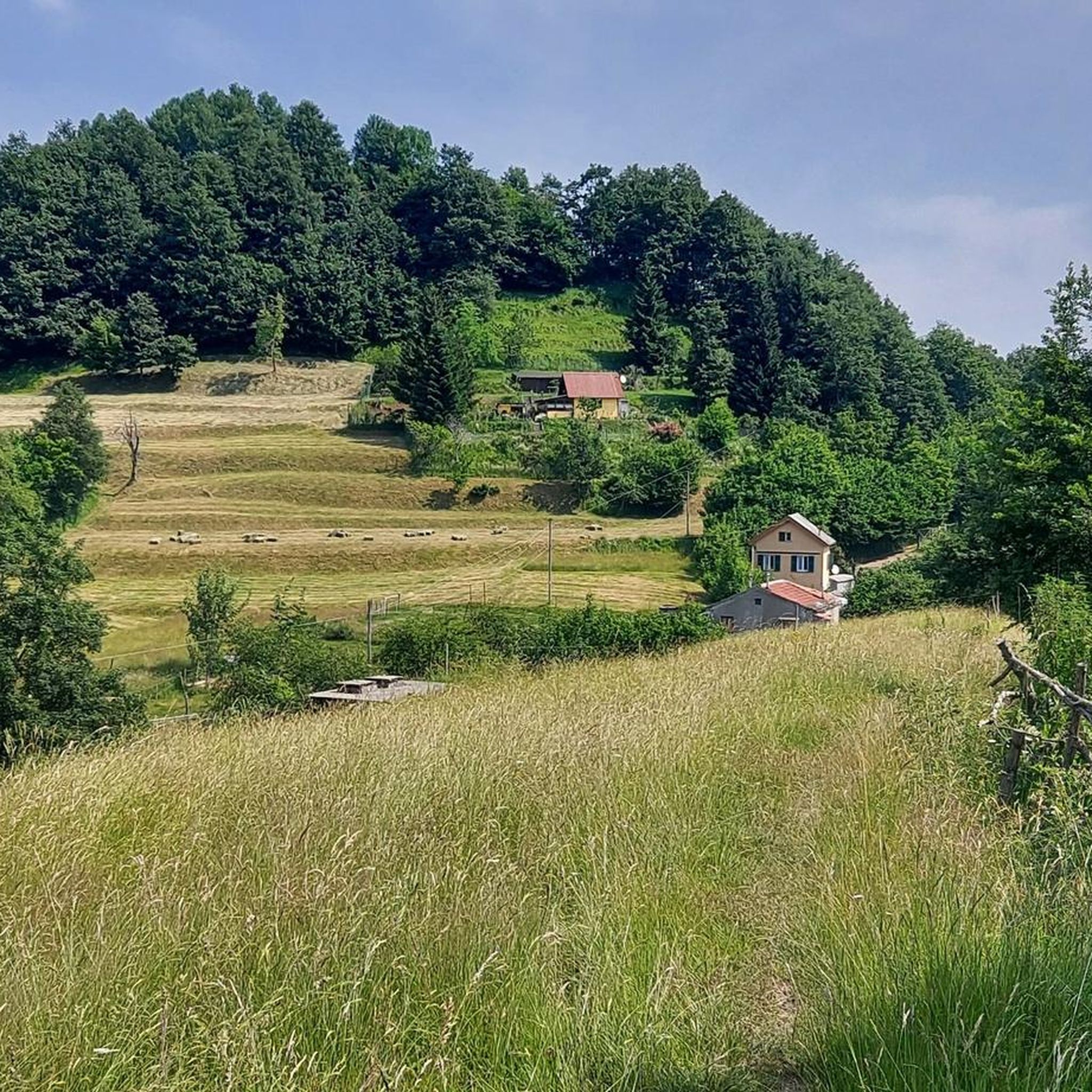
Touring cyclists in Parco naturale regionale dell'Antola will encounter a diverse range of landscapes. The park features thick chestnut, oak, and beech forests, which transition into open pastures. You'll also ride through river valleys like the Trebbia and Scrivia, and experience dramatic shifts in elevation, with altitudes ranging from 500 to 1,500 meters.
Are there any notable landmarks or attractions along the touring cycling routes?
Yes, several routes pass by significant landmarks. The Lago di Vobbietta – Castello della Pietra loop from Caprieto, for instance, takes you past the historic Castello della Pietra, dramatically wedged between two natural towers. You can also find the Mount Antola summit and the Antola Astronomical Observatory within the park.
Can I find routes suitable for different types of touring bikes, such as e-bikes or city bikes?
While the komoot guide focuses on touring cycling, the region's ancient trade routes and some specific areas, like the Lake Brugneto tour, are known to be suitable for a variety of bikes, including e-MTBs, e-Road bikes, and even city bikes. This indicates that sections of the park are accessible for different touring-style cycling preferences.
What are some of the longer touring cycling routes in the park?
For those seeking longer rides, the Brugneto Lake Loop covers approximately 29.4 miles (47.3 km). Another substantial option is the Lago di Vobbietta – Busalla Bridge loop from Vobbia, which is about 29.3 miles (47.2 km) long.
Are there opportunities to see wildlife or unique flora along the cycling paths?
Yes, Parco naturale regionale dell'Antola is rich in wildlife and flora. The park is home to the Italian wolf, deer, and roe deer. In spring and summer, the open pastures burst with wildflowers such as daffodils, orchids, gentians, lilies, buttercups, and columbines, offering a vibrant display for cyclists.
What do other touring cyclists enjoy most about cycling in Parco naturale regionale dell'Antola?
The area is highly rated by the komoot community, with an average score of 4.5 stars. Reviewers often praise the diverse landscapes, from thick forests to open pastures, and the well-maintained network of trails. The presence of historical sites like Castello della Pietra and the scenic Scenic Road Along Lago del Brugneto also contribute to a memorable cycling experience.
Are there any easy touring cycling routes suitable for beginners or families?
While the majority of routes are moderate to difficult, there are a few easier options available. The park's diverse terrain means that some sections, particularly around the villages or along flatter river stretches, can be more accessible for beginners or families looking for a gentle ride. It's always recommended to check the specific route details for elevation and surface conditions.
Most popular routes around Parco naturale regionale dell'Antola
Most popular attractions around Parco naturale regionale dell'Antola

Get inspired with the komoot mobile app


Explore more
Browse the best Cycling routes in other regions.
