FFH-Gebiet Oberurseler Stadtwald und Stierstädter Heide
FFH-Gebiet Oberurseler Stadtwald und Stierstädter Heide
The best mountain hikes around FFH-Gebiet Oberurseler Stadtwald und Stierstädter Heide
4.8
(10)
49
hikers
28
hikes
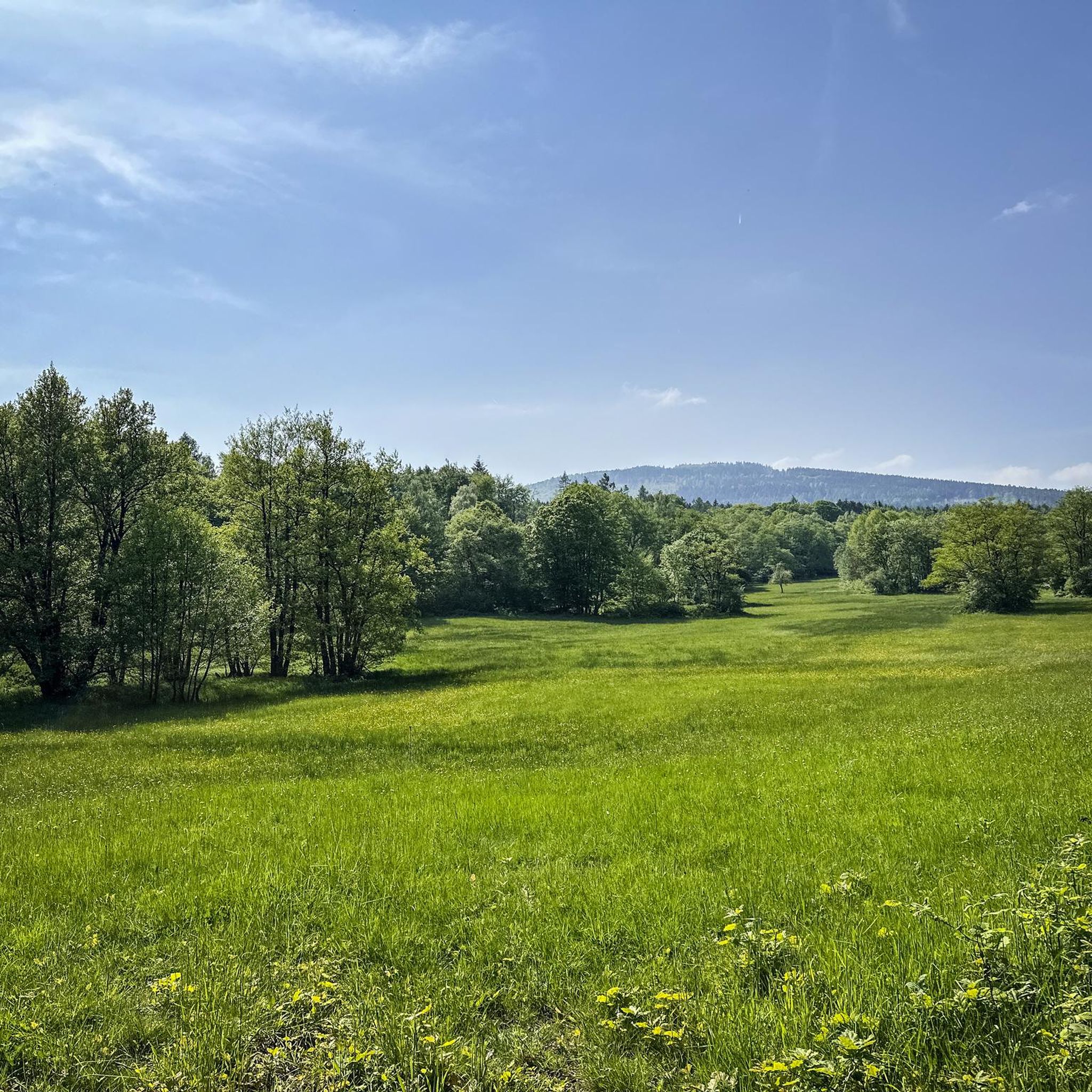
Mountaineering routes around FFH-Gebiet Oberurseler Stadtwald und Stierstädter Heide traverse a landscape characterized by forested slopes and prominent hills, including the Altkönig and Großer Feldberg summits. The region features varied terrain, from dense woodlands to open areas, offering diverse experiences for mountaineers. Elevations provide viewpoints over the surrounding Taunus region.
Best mountaineering routes around FFH-Gebiet Oberurseler Stadtwald und Stierstädter Heide
- The most popular mountaineering route is Altkönig Summit Sign – Emminghaus Hut loop from Waldwiesenbachtal von Oberhöchstadt, a 9.4…
Last updated: July 2, 2026
4.7
(3)
8
hikers
17.5km
05:34
700m
700m
Hard mountaineering route. Very good fitness required. Mostly accessible paths. Sure-footedness required.
2
hikers
Moderate mountaineering route. Good fitness required. Mostly accessible paths. Sure-footedness required.

Sign up for free
6
hikers
Moderate mountaineering route. Good fitness required. Mostly accessible paths. Sure-footedness required.
2
hikers
21.2km
06:26
690m
690m
Hard mountaineering route. Very good fitness required. Mostly accessible paths. Sure-footedness required.
5.0
(1)
4
hikers
22.1km
06:49
750m
750m
Hard mountaineering route. Very good fitness required. Mostly accessible paths. Sure-footedness required.
Get access to more routes and recommendations from other explorers.
Sign up for free
Already have an account?
Our route recommendations are based on thousands of hikes, rides, and runs completed by other people on komoot.
Start today with a free account
Your next adventure awaits.
Login or Signup
Popular around FFH-Gebiet Oberurseler Stadtwald und Stierstädter Heide
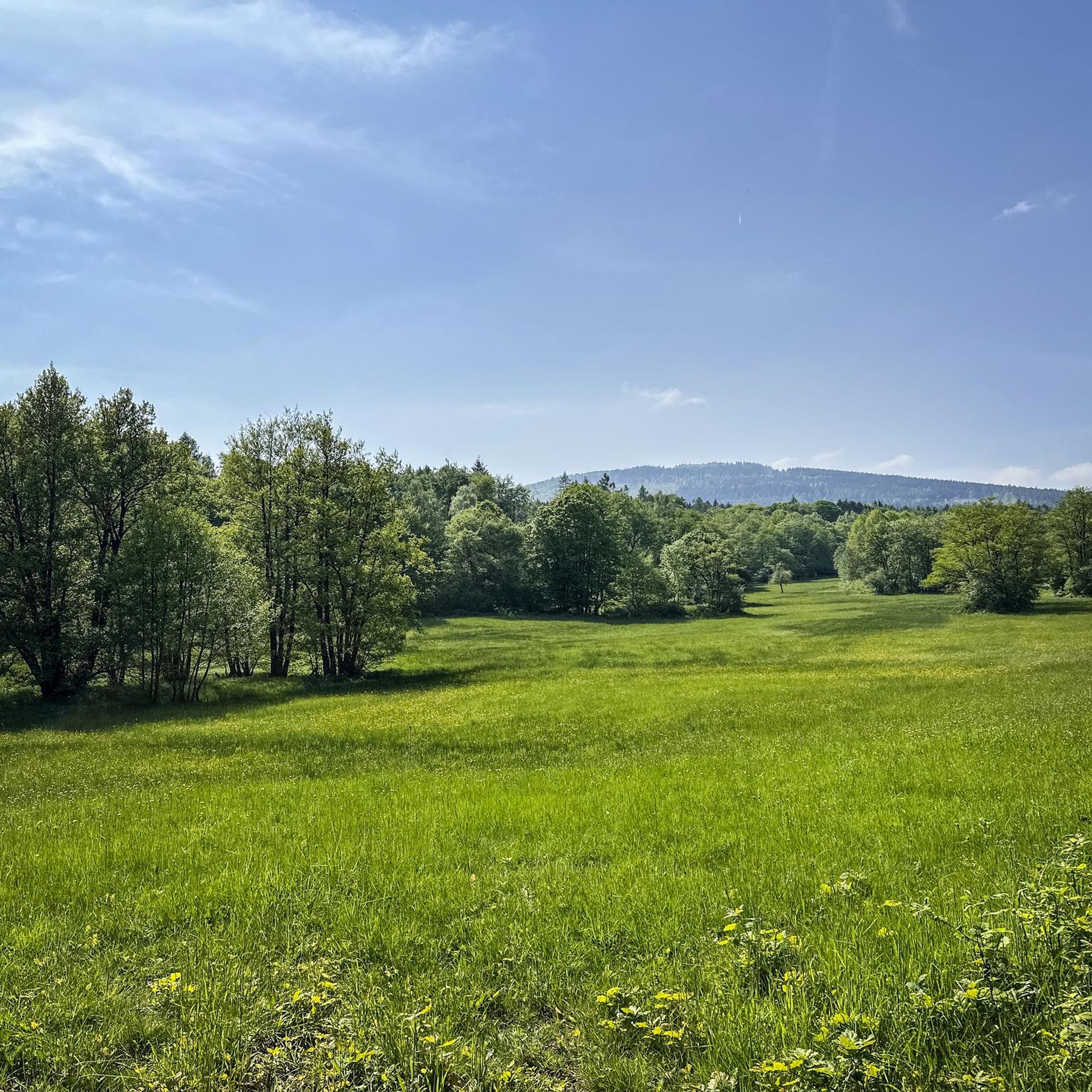
MTB Trails around FFH-Gebiet Oberurseler Stadtwald und Stierstädter Heide
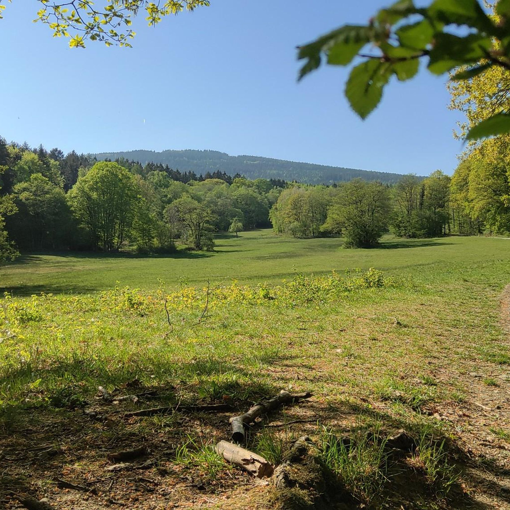
Running Trails around FFH-Gebiet Oberurseler Stadtwald und Stierstädter Heide
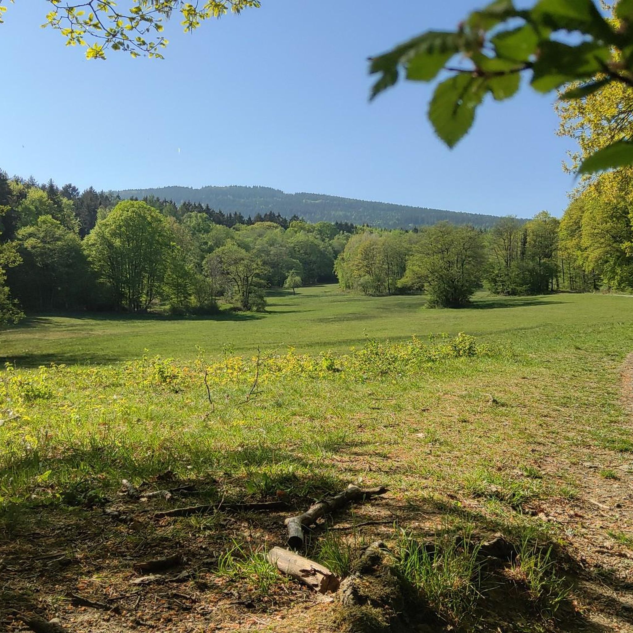
Cycling around FFH-Gebiet Oberurseler Stadtwald und Stierstädter Heide
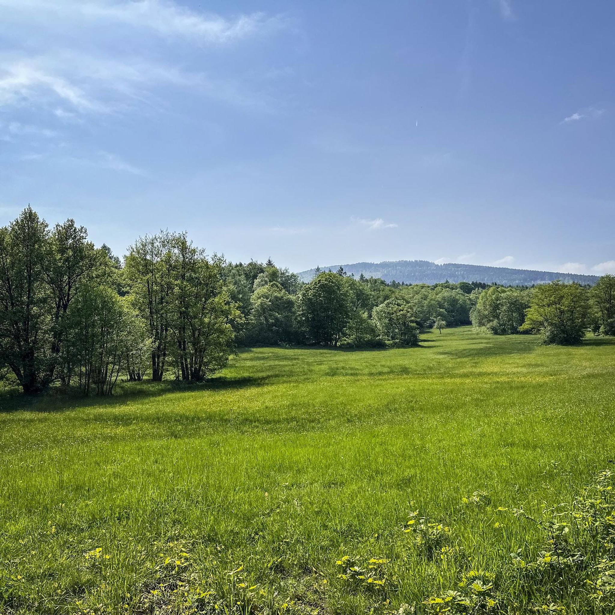
Hiking around FFH-Gebiet Oberurseler Stadtwald und Stierstädter Heide
Road Cycling Routes around FFH-Gebiet Oberurseler Stadtwald und Stierstädter Heide
Gravel biking around FFH-Gebiet Oberurseler Stadtwald und Stierstädter Heide
Tips from the Community

Nice little break spot. Many illegal fire pits
0
0

Today I saw the new summit cross. ⛰️
1
0

The White Wall in the Taunus Mountains is a quartzite field formed during the Ice Age on the Altkönig mountain by frost weathering. It lies at a maximum elevation of 634 meters above sea level [1] near Oberursel in the Hochtaunus district of Hesse. The area is designated as a nature reserve 🤩
14
0
Lots of rubble but worth seeing.
1
0

Simply wonderful and delicious climb 😜
1
0
Sneakers not recommended, surefootedness and stability are required here 🤗
1
1

The mountain rescue station on the Feldberg is an important base for the mountain rescue service, which ensures safety in the surrounding hiking and skiing areas. It is located near the highest point of the Feldberg and serves as a rescue and care station for mountain accidents. Hikers and skiers can receive help here in an emergency, and the station is also a contact point for the mountain rescue service, which is regularly active in the region.
7
0
Frequently Asked Questions
How many mountaineering routes are available in FFH-Gebiet Oberurseler Stadtwald und Stierstädter Heide?
There are over 30 mountaineering routes in FFH-Gebiet Oberurseler Stadtwald und Stierstädter Heide, offering a variety of experiences across different difficulty levels.
What do other mountaineers say about the routes in this region?
The mountaineering routes in FFH-Gebiet Oberurseler Stadtwald und Stierstädter Heide are highly rated by the komoot community, with an average score of 4.9 stars from over 8 reviews. Users often praise the varied terrain, forested slopes, and rewarding summit views.
What kind of terrain can I expect on mountaineering routes here?
The region features diverse terrain, from dense woodlands and forested slopes to more open areas. You'll encounter prominent hills like the Altkönig and Großer Feldberg, with routes offering significant ascents and descents.
Are there easy mountaineering routes suitable for beginners in FFH-Gebiet Oberurseler Stadtwald und Stierstädter Heide?
Yes, there is at least one easy mountaineering route available, perfect for beginners or those seeking a less strenuous experience. The network offers options for various ability levels.
Are there challenging mountaineering routes for experienced hikers?
Absolutely. For experienced mountaineers, there are 7 difficult routes available. An example is the Anita's Fuchstanz – Großer Feldberg Summit loop from Hohemark, which covers 13.4 miles (21.6 km) with significant elevation gain.
Are there any circular mountaineering routes in the area?
Many of the mountaineering routes in this region are circular, allowing you to start and end at the same point. For instance, the popular Altkönig Summit Sign – Emminghaus Hut loop from Waldwiesenbachtal von Oberhöchstadt is a circular trail.
Can I bring my dog on the mountaineering trails?
Generally, dogs are welcome on trails in the FFH-Gebiet Oberurseler Stadtwald und Stierstädter Heide. However, it's always advisable to keep them on a leash, especially in nature reserve areas or near wildlife, and to check for any specific local regulations.
What interesting sights or landmarks can I see along the mountaineering routes?
Along the routes, you can discover several points of interest. Highlights include the historic Altkönig Ringwall, the Emminghaus Hut, and the Hünerbergwiesen Nature Reserve. Many routes also lead to the summits of Altkönig and Großer Feldberg.
Are there good viewpoints along the mountaineering trails?
Yes, the region's prominent hills and varied terrain offer excellent viewpoints. Routes often lead to summits like Altkönig and Großer Feldberg, providing panoramic views over the surrounding Taunus region.
Are there places to eat or get refreshments near the routes?
Yes, you'll find options for refreshments. The Emminghaus Hut is located along some routes, offering a place to rest and refuel. There are also various cafes and restaurants in nearby towns like Oberursel.
Is public transport available to access the mountaineering routes?
Many starting points for routes in the FFH-Gebiet Oberurseler Stadtwald und Stierstädter Heide are accessible by public transport, particularly from Oberursel. Check local bus and train schedules for the most convenient access points.
Where can I park when starting a mountaineering route?
Designated parking areas are available at common trailheads, such as Hohemark in Oberursel, which serves as a starting point for several popular routes like the Altkönig Ringwall – Altkönig Summit loop.
What is the best time of year for mountaineering in this region?
Spring, summer, and autumn generally offer the best conditions for mountaineering, with pleasant temperatures and vibrant scenery. While winter mountaineering is possible, be prepared for colder weather and potentially icy or snowy conditions, especially at higher elevations.
Most popular routes around FFH-Gebiet Oberurseler Stadtwald und Stierstädter Heide
Most popular attractions around FFH-Gebiet Oberurseler Stadtwald und Stierstädter Heide

Get inspired with the komoot mobile app


Explore more
Browse the best Mountain Hikes & Routes in other regions.
