The best walks and hikes around FFH-Gebiet Oberurseler Stadtwald und Stierstädter Heide
4.5
(28144)
115,879
hikers
54
hikes
Hiking around FFH-Gebiet Oberurseler Stadtwald und Stierstädter Heide offers varied terrain on the eastern slope of the Taunus mountains, with elevations ranging from approximately 230 to 400 meters above sea level. The area is characterized by diverse natural beech and oak forests, alongside unique dry heathlands of the Stierstädter Heide. These distinct landscapes provide a mix of shaded forest paths and open heath areas for hikers.
Best hiking trails around FFH-Gebiet Oberurseler Stadtwald und Stierstädter Heide
- The most popular hiking…
Last updated: July 1, 2026
4.5
(35)
134
hikers
11.2km
03:06
190m
190m
Moderate hike. Good fitness required. Easily-accessible paths. Suitable for all skill levels.
4.6
(48)
172
hikers
Moderate hike. Good fitness required. Mostly accessible paths. Sure-footedness required.

Sign up for free
4.7
(16)
64
hikers
Easy hike. Great for any fitness level. Easily-accessible paths. Suitable for all skill levels.
4.9
(8)
25
hikers
Easy hike. Great for any fitness level. Easily-accessible paths. Suitable for all skill levels.
4.4
(7)
28
hikers
Moderate hike. Good fitness required. Easily-accessible paths. Suitable for all skill levels.
Get access to more routes and recommendations from other explorers.
Sign up for free
Already have an account?
Our route recommendations are based on thousands of hikes, rides, and runs completed by other people on komoot.
Start today with a free account
Your next adventure awaits.
Login or Signup
Popular around FFH-Gebiet Oberurseler Stadtwald und Stierstädter Heide
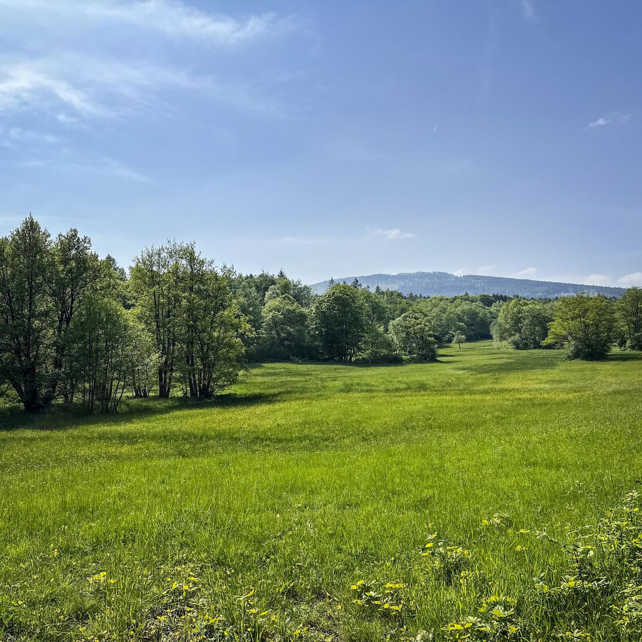
MTB Trails around FFH-Gebiet Oberurseler Stadtwald und Stierstädter Heide
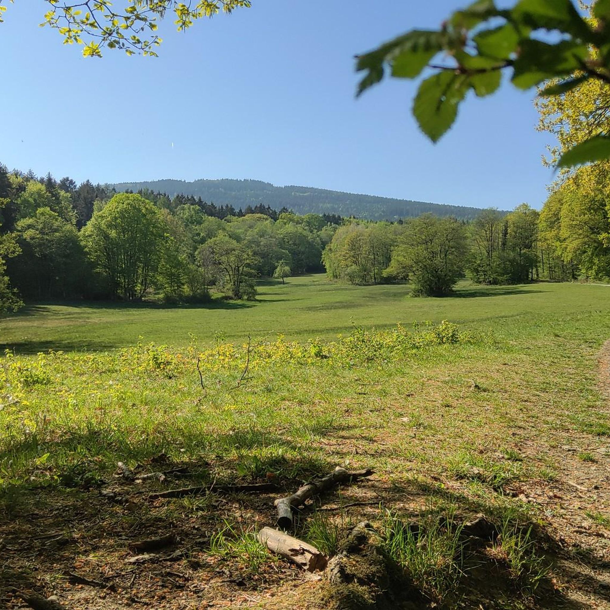
Running Trails around FFH-Gebiet Oberurseler Stadtwald und Stierstädter Heide
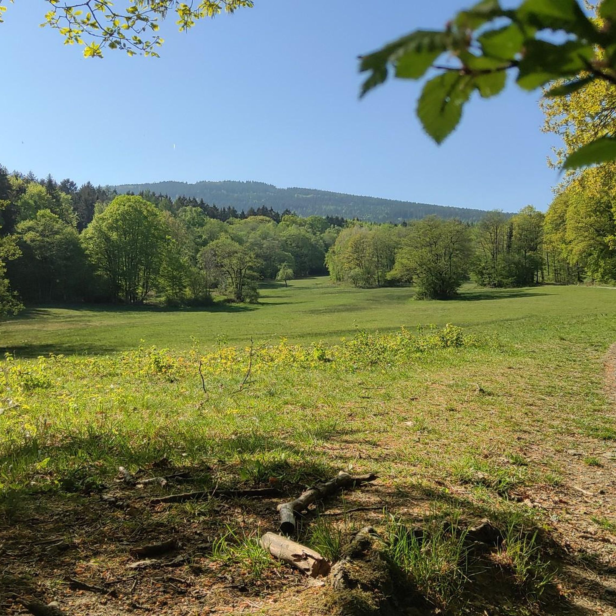
Cycling around FFH-Gebiet Oberurseler Stadtwald und Stierstädter Heide
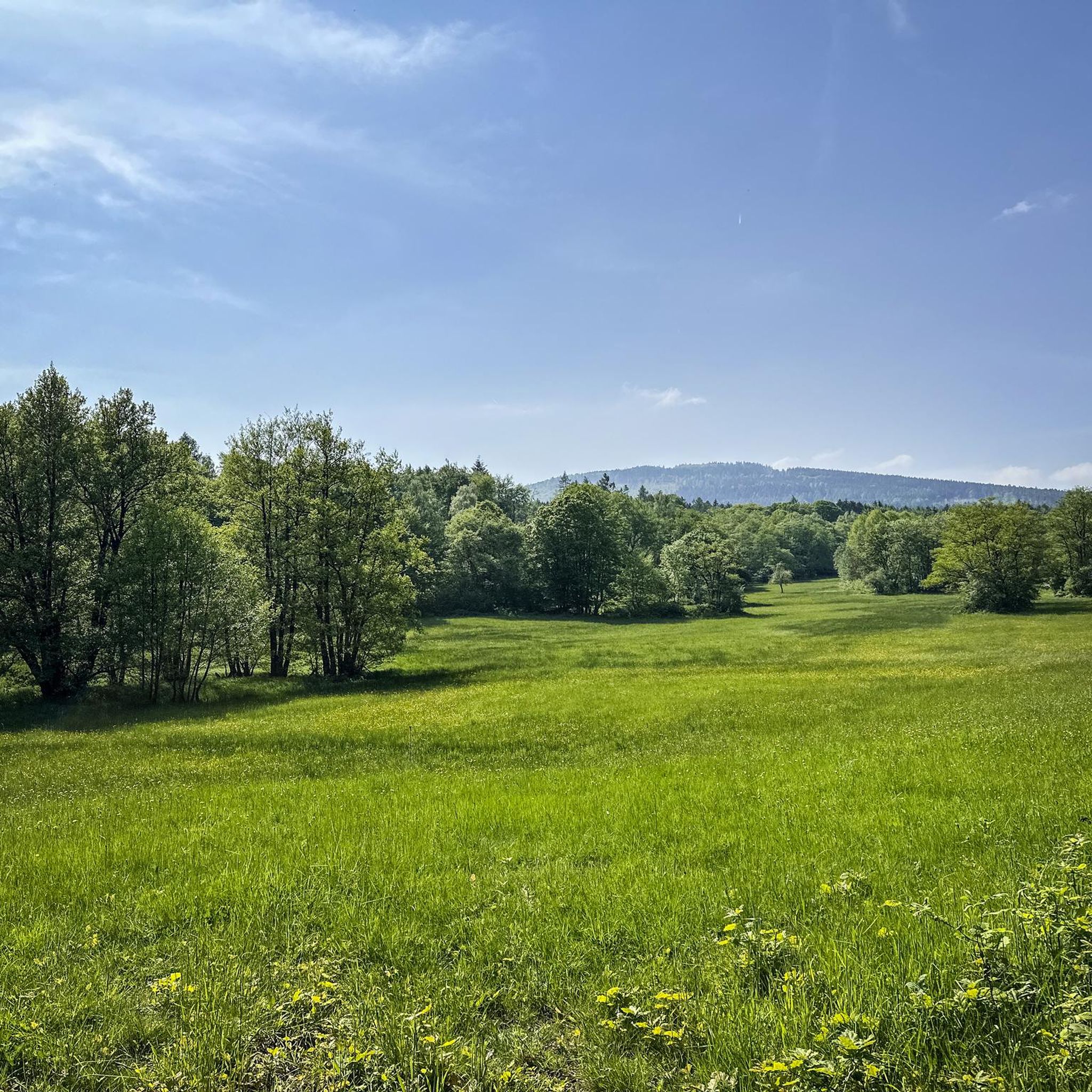
Road Cycling Routes around FFH-Gebiet Oberurseler Stadtwald und Stierstädter Heide
Gravel biking around FFH-Gebiet Oberurseler Stadtwald und Stierstädter Heide
Mountain Hikes around FFH-Gebiet Oberurseler Stadtwald und Stierstädter Heide
Tips from the Community

A comfortable bench with a great view.
2
0
Insect hotel the size of a shelter.
1
0


Definitely take the path through the scree field - the experience is topped off with breathtaking views 👏
0
0

The 21.66-hectare nature reserve was declared a protected area in 1986. The reserve consists of two sub-areas, encompassing the districts "In der unteren Hühnerburg," "In der Mittlere Hühnerburg," and "In der obere Hühnerburg." The area encompasses extensively used meadows with spring-fed marshes. It is home to several endangered plant species and communities and is a habitat for rare insect, bird, and mammal species.
0
0
Nice place to take a break with a beautiful view 😎
0
0

Often used as a film backdrop
0
0

The paths up the Altkönig are always beautiful to walk and sometimes very mystical.
2
0
Frequently Asked Questions
What types of landscapes can I expect to see while hiking in FFH-Gebiet Oberurseler Stadtwald und Stierstädter Heide?
The area offers a diverse landscape, primarily characterized by natural beech and oak forests. A unique feature is the open, dry heathlands of the Stierstädter Heide, which are rare in the Vordertaunus region. You'll find a mix of shaded forest paths and more open heath areas, with elevations ranging from about 230 to 400 meters above sea level.
How many hiking trails are available in FFH-Gebiet Oberurseler Stadtwald und Stierstädter Heide?
There are over 50 hiking routes available in the FFH-Gebiet Oberurseler Stadtwald und Stierstädter Heide. These include options for various fitness levels, with 46 easy, 8 moderate, and 1 difficult trail to explore.
Are there any family-friendly hiking trails in the area?
Yes, many trails in the FFH-Gebiet Oberurseler Stadtwald und Stierstädter Heide are suitable for families. For example, the Stuhlbergbach Valley – Hadwald Oberursel loop from Oberursel (Taunus) is an easy 3.6-mile (5.8 km) route that takes about 1 hour 35 minutes, offering a pleasant walk through the valley.
Can I bring my dog on the hiking trails?
Generally, dogs are welcome on the hiking trails in the FFH-Gebiet Oberurseler Stadtwald und Stierstädter Heide. However, it's important to keep them on a leash, especially in sensitive natural areas like the Stierstädter Heide, to protect local wildlife and maintain the ecological balance. Always clean up after your pet.
What are some notable viewpoints or attractions along the trails?
Hikers can enjoy several points of interest. The Hünerbergwiesen Nature Reserve offers scenic views, and the Emminghaus Hut provides a spot for a break. For panoramic vistas, consider routes that lead to the Altkönig Summit Cross or the Hünerberg Viewpoint Bench.
Are there circular hiking routes available?
Yes, many of the hiking routes in the FFH-Gebiet Oberurseler Stadtwald und Stierstädter Heide are circular. An example is the Hünerberg Viewpoint Bench – Hünerberg Meadows Root Path loop from Oberursel (Taunus), a moderate 7.9-mile (12.7 km) trail that allows you to return to your starting point without retracing your steps.
What is the best time of year to go hiking in this region?
The FFH-Gebiet Oberurseler Stadtwald und Stierstädter Heide is enjoyable year-round. Spring brings blooming flora, while autumn offers vibrant foliage in the forests. Summer provides shaded paths, and even winter can be beautiful for a crisp walk, though some paths might be muddy or icy. The unique heathlands are particularly striking in late summer when the heather blooms.
Where can I find parking for the hiking trails?
Parking is generally available at various entry points to the FFH-Gebiet Oberurseler Stadtwald und Stierstädter Heide, particularly near Oberursel (Taunus) and surrounding towns. Specific parking areas are often indicated on local maps or trailheads. It's advisable to check the starting point of your chosen route for the most convenient parking options.
How can I reach the hiking areas by public transport?
The FFH-Gebiet Oberurseler Stadtwald und Stierstädter Heide is accessible via public transport, particularly from Oberursel (Taunus). Local bus lines often serve stops close to the forest edges and trailheads. Check local transport schedules for connections to areas like Hohemark, which is a common starting point for hikes.
Are there places to eat or rest near the hiking trails?
While the area is primarily natural, you can find places to rest like the Emminghaus Hut. For cafes and restaurants, you would typically need to venture into the nearby towns such as Oberursel (Taunus), which offer various dining options after your hike.
What do other hikers enjoy most about hiking in FFH-Gebiet Oberurseler Stadtwald und Stierstädter Heide?
The area is highly rated by the komoot community, with an average score of 4.4 stars from over 550 reviews. Hikers often praise the diverse natural landscapes, including the unique heathlands and varied forests, as well as the well-maintained paths that cater to different ability levels.
What is the elevation gain like on the trails?
The elevation in the FFH-Gebiet Oberurseler Stadtwald und Stierstädter Heide ranges from approximately 230 to 400 meters above sea level. Trails can have varied elevation gains; for instance, the Altkönig Summit Cross – Altkönig Summit loop from Hünerbergwiesen von Oberursel involves a significant ascent of over 440 meters, while easier routes like the Stuhlbergbach Valley – View of Frankfurt skyline loop from Waldwiesenbachtal von Oberhöchstadt have gentler climbs of around 90 meters.
Most popular routes around FFH-Gebiet Oberurseler Stadtwald und Stierstädter Heide
Most popular attractions around FFH-Gebiet Oberurseler Stadtwald und Stierstädter Heide

Get inspired with the komoot mobile app


Explore more
Browse the best Hikes in other regions.
