The best MTB trails around FFH-Gebiet Oberurseler Stadtwald und Stierstädter Heide
4.6
(4150)
12,266
riders
547
rides
Mountain biking around FFH-Gebiet Oberurseler Stadtwald und Stierstädter Heide offers diverse terrain on the eastern slopes of the Taunus mountains, with elevations ranging from approximately 230 to 400 meters. The area features a blend of dense beech and oak forests, providing shaded paths, alongside distinctive dry heathlands known as the Stierstädter Heide. This combination creates varied environments suitable for mountain biking.
Best mountain bike trails around FFH-Gebiet Oberurseler Stadtwald und Stierstädter Heide
- The most popular mountain bike trail is Bikepark…
Last updated: September 1, 2026
4.9
(40)
311
riders
61.8km
05:59
1,400m
1,400m
Hard mountain bike ride. Very good fitness required. Advanced riding skills necessary.
4.7
(149)
660
riders
19.7km
02:01
640m
640m
Moderate mountain bike ride. Good fitness required. Advanced riding skills necessary.

Sign up for free
4.7
(22)
187
riders
32.9km
03:35
1,070m
1,070m
Hard mountain bike ride. Very good fitness required. Advanced riding skills necessary.
4.3
(7)
45
riders
26.3km
02:35
740m
740m
Moderate mountain bike ride. Good fitness required. Advanced riding skills necessary.
4.8
(27)
60
riders
48.4km
04:44
1,380m
1,380m
Hard mountain bike ride. Very good fitness required. Advanced riding skills necessary.
Get access to more routes and recommendations from other explorers.
Sign up for free
Already have an account?
Our route recommendations are based on thousands of hikes, rides, and runs completed by other people on komoot.
Start today with a free account
Your next adventure awaits.
Login or Signup
Popular around FFH-Gebiet Oberurseler Stadtwald und Stierstädter Heide
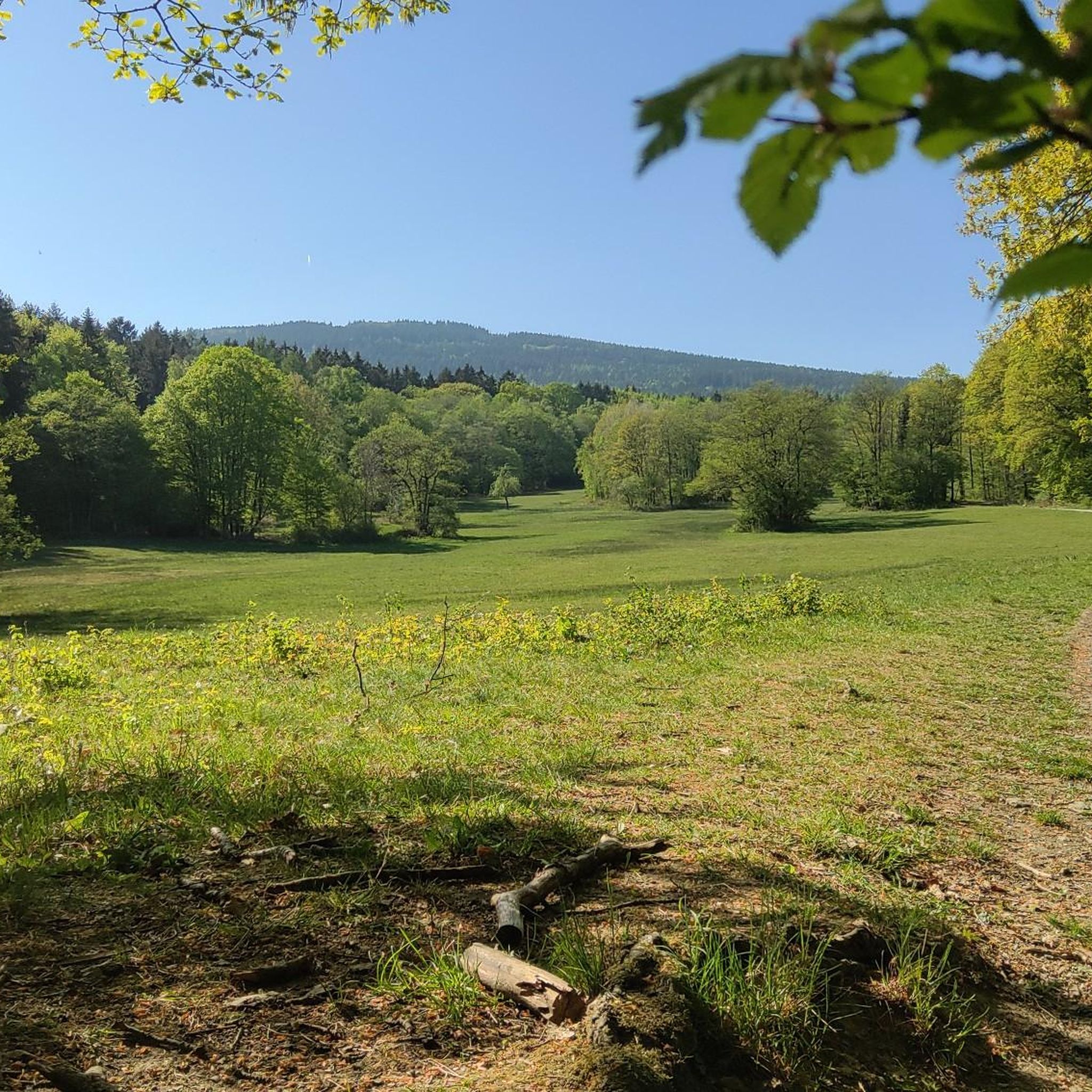
Running Trails around FFH-Gebiet Oberurseler Stadtwald und Stierstädter Heide
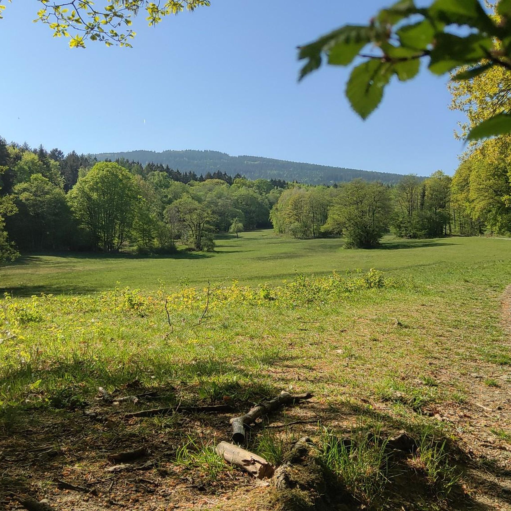
Cycling around FFH-Gebiet Oberurseler Stadtwald und Stierstädter Heide
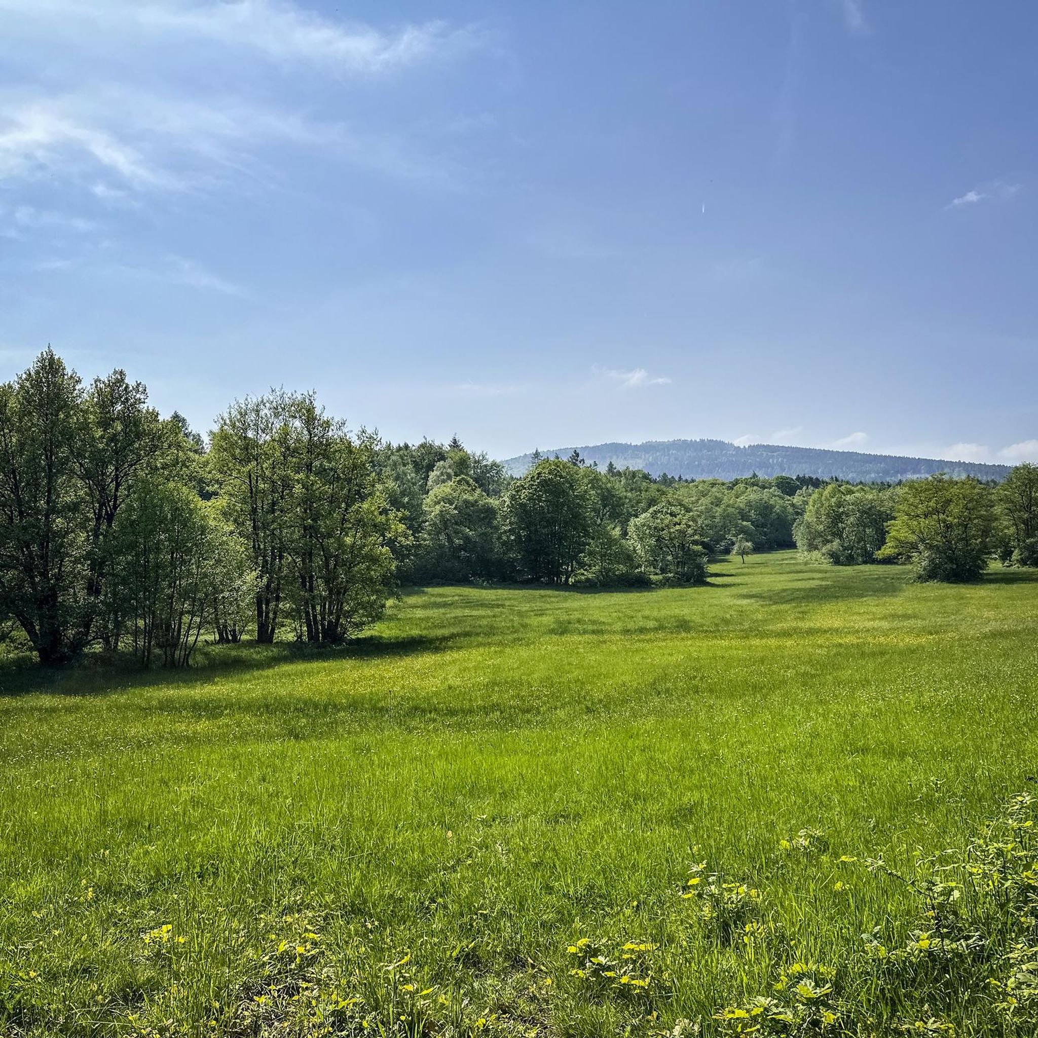
Hiking around FFH-Gebiet Oberurseler Stadtwald und Stierstädter Heide
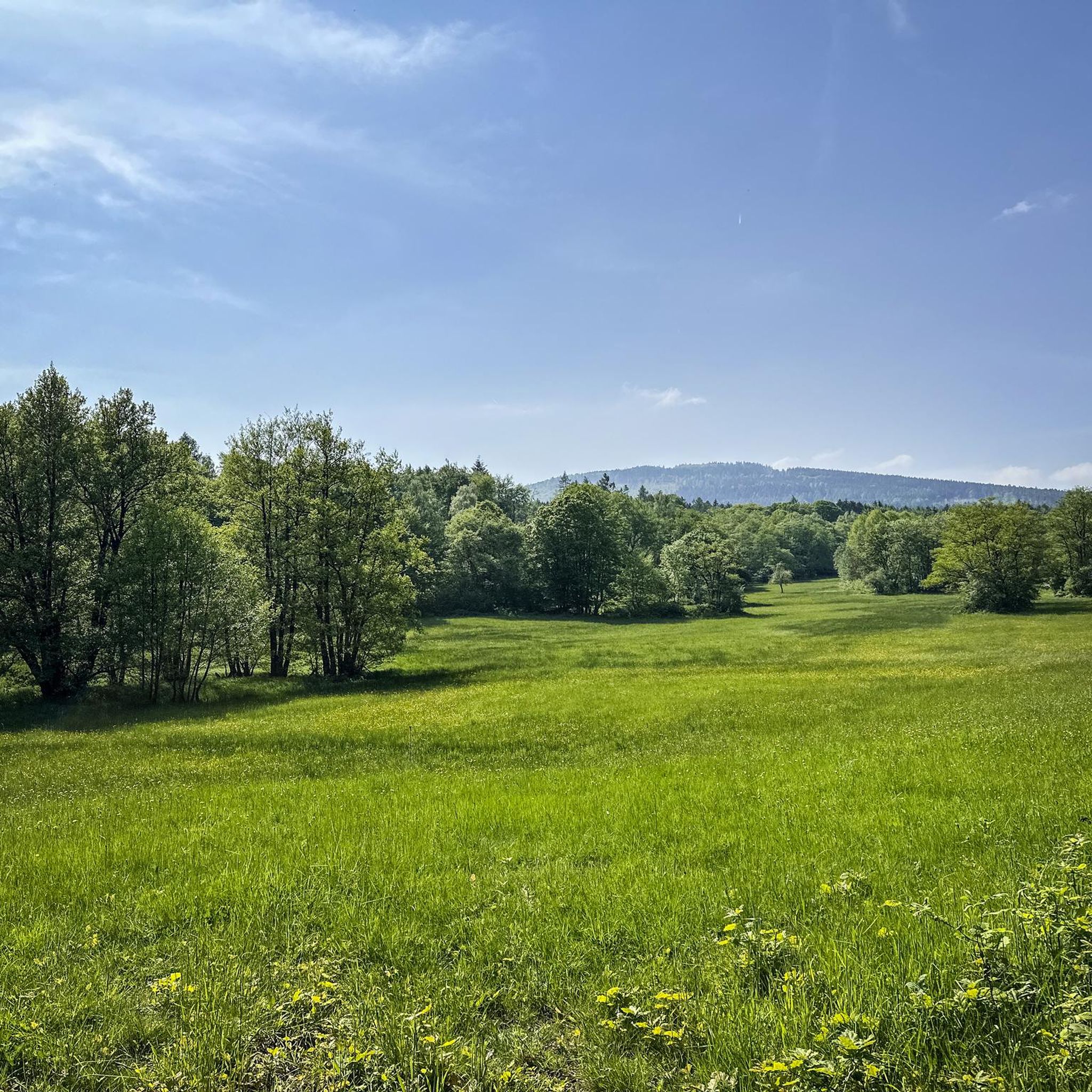
Road Cycling Routes around FFH-Gebiet Oberurseler Stadtwald und Stierstädter Heide
Gravel biking around FFH-Gebiet Oberurseler Stadtwald und Stierstädter Heide
Mountain Hikes around FFH-Gebiet Oberurseler Stadtwald und Stierstädter Heide
Tips from the Community

Rettershof is a historic estate in the Fischbach district of Kelkheim, now a popular local recreation and excursion destination offering restaurants, equestrian activities, nature, and events. Originally, the property was founded in 1146 as the Premonstratensian Retters Monastery; after its dissolution in 1559, it developed into an agricultural estate with various owners. In the 19th century, the Englishman Frederik Arnold Rodewald acquired the estate and had a grand manor house built in the English Tudor style between 1884 and 1885. This building still forms the heart of the complex and has been owned by the city of Kelkheim since the early 1980s. Today, Rettershof comprises: • the Rettershof Castle Hotel with its historic charm, • the country inn "Zum fröhlichen Landmann" (The Merry Farmer), • a modern equestrian center with an indoor riding arena and paddocks, • expansive meadows, orchards, and woodlands. Rettershof also serves as a venue for markets, festivals, concerts, and harvest and cultural events, attracting many visitors from the region. In short: Rettershof combines medieval monastery and estate history with a modern recreational and cultural landscape – ideal for walks, horseback riding, events, and excursions in the Taunus region.
5
0
The Viktoriatempel is a scenic highlight and an integral part of the local hiking trails in the Taunus Nature Park. The temple is located near Victoriapark and Altkönig in Kronberg im Taunus and offers a good view, including Kronberg Castle.
15
1
Here is the Atzelberg Tower! It is now made of metal, after it burned down twice from wood.
7
2
The view from the tower is truly magnificent
11
3

A hike through prairies and mystical Celtic remains, between gnarled oaks and blankets of blueberry. Interspersed with rock formations and archaeological remains.
0
0


The sled trail is super flowy and rough at the same time, and can't be compared to the blue marble runs of other trail parks. At the end, it's easy to accidentally end up on the Schoppen Trail. But you'll notice this quickly, as the root steps suddenly get really big. 😄 Nice tables at the end for airtime. And then straight back up! 😜
0
0
Frequently Asked Questions
How many mountain bike trails are available in FFH-Gebiet Oberurseler Stadtwald und Stierstädter Heide?
There are over 500 mountain bike trails in the FFH-Gebiet Oberurseler Stadtwald und Stierstädter Heide, catering to various skill levels. You'll find a wide selection of routes, with 111 easy, 354 moderate, and 58 difficult trails to explore.
What kind of terrain can I expect when mountain biking in this region?
The region offers a diverse mix of terrain, characterized by dense beech and oak forests providing shaded paths, alongside unique dry heathlands like the Stierstädter Heide. Located on the eastern slopes of the Taunus mountains, you'll encounter elevations ranging from approximately 230 to 400 meters, ensuring varied environments for your ride.
Are there any family-friendly mountain bike trails in FFH-Gebiet Oberurseler Stadtwald und Stierstädter Heide?
Yes, the area offers a good selection of easy and moderate trails suitable for families. While specific family-designated routes aren't listed, you can choose from over 100 easy trails that are generally less demanding. Look for routes with lower elevation gains and shorter distances for a more relaxed family outing.
Are dogs allowed on the mountain bike trails in FFH-Gebiet Oberurseler Stadtwald und Stierstädter Heide?
Generally, dogs are welcome on trails in the FFH-Gebiet Oberurseler Stadtwald und Stierstädter Heide, but it's important to keep them on a leash, especially in sensitive natural areas like the Stierstädter Heide, which is a Natura 2000 network site. Always be mindful of other trail users and local wildlife.
What are some notable landmarks or natural attractions I can see while mountain biking?
The region is rich in natural beauty and points of interest. You can bike past the unique Stierstädter Heath, a protected dry heathland, or discover the serene Pond with island in Oberurseler Stadtwald. Other natural monuments include the Hünerbergwiesen Nature Reserve and the Roter Born Spring.
Are there any mountain bike trails that include historical sites?
Yes, the area has historical significance. For example, the moderate route Saalburg Roman Fort – Saalburg Roman Fort loop from Hohemark, covering 26.8 km, takes you past the Saalburg Roman Fort, offering a blend of cycling and history. The landscape also holds traces of ancient Celtic and Roman inhabitants.
What is the best time of year to go mountain biking in FFH-Gebiet Oberurseler Stadtwald und Stierstädter Heide?
The spring and autumn months are generally ideal for mountain biking in this region. The weather is typically milder, and the forest scenery, with its beech and oak trees, is particularly beautiful. Summer can also be pleasant, especially on shaded forest paths, but be prepared for potentially warmer temperatures. Winter riding is possible, but trails may be muddy or icy.
Where can I find parking for mountain bike trailheads?
Many routes, such as the popular Bikepark Großer Feldberg – View of the Usinger Basin loop from Hohemark, often start or pass through areas like Hohemark, which typically offer parking facilities. It's advisable to check the specific route details on komoot for recommended starting points and parking options.
Are there any loop mountain bike trails in the area?
Yes, many of the mountain bike trails in FFH-Gebiet Oberurseler Stadtwald und Stierstädter Heide are designed as loops, allowing you to start and end at the same point. Examples include the challenging Großer Feldberg Summit – View from Altkönig toward the Feldberg loop from Hohemark (48.5 km) and the moderate Fuchstanz: The Forest Inn – View from Altkönig toward the Feldberg loop from Hohemark (16.8 km).
What do other mountain bikers enjoy most about the trails here?
The area is highly rated by the komoot community, with an average score of 4.6 stars from over 4000 reviews. Mountain bikers often praise the diverse terrain, the blend of dense forests and open heathlands, and the well-maintained network of trails that cater to all skill levels. The scenic views and challenging climbs are frequently highlighted.
Are there any bike parks or dedicated singletracks in the vicinity?
Yes, for those looking for more technical riding, there are dedicated bike park features and singletracks nearby. You can find highlights like the Lower Flowtrail Feldberg, the Singletrack to Hohemark car park, and the challenging Space Force Trail, offering exciting descents and features.
What are some options for advanced mountain bikers seeking a challenge?
Advanced riders will find plenty of challenging routes. The region features 58 difficult trails, many with significant elevation gains across the Taunus foothills. A prime example is the Bikepark Großer Feldberg – View of the Usinger Basin loop from Hohemark, a 65.8 km route with over 1400 meters of elevation gain, offering extensive climbs and technical descents.
Most popular routes around FFH-Gebiet Oberurseler Stadtwald und Stierstädter Heide
Most popular attractions around FFH-Gebiet Oberurseler Stadtwald und Stierstädter Heide

Get inspired with the komoot mobile app


Explore more
Browse the best MTB trails in other regions.
