Top 5 Mountain Passes around La Bâtie-Des-Fonds
Mountain passes around La Bâtie-Des-Fonds are found in the Drôme department of southeastern France, a tranquil setting for exploring mountainous terrain. This small commune is nestled amidst a landscape characterized by its natural environment and serves as a gateway to several passes. The region offers routes that traverse natural boundaries and provide views of the surrounding departments. It is an area where the source of the Drôme river is located, adding a unique geographical point of interest.
Best mountain passes…
Last updated: July 10, 2026
Col de Carabès
Highlight • Mountain Pass
Showing Translation
Tip by

Cabre Pass (1,180 m)
Highlight (Segment) • Mountain Pass
Showing Translation
Tip by
Sign up now to discover places like this
Get recommendations on the best single tracks, peaks, & plenty of other exciting outdoor places.
Sign up for free
Ascent to Col de la Haute Beaume
Highlight (Segment) • Mountain Pass
Showing Translation
Tip by
Col de Rossas
Highlight • Mountain Pass
Translated by Google •
Tip by

Col des Tourette (1126 m)
Highlight • Mountain Pass
Translated by Google •
Tip by
Sign up for free to discover even more mountain passes around La Bâtie-Des-Fonds.
Sign up for free
Already have an account?
Start today with a free account
Your next adventure awaits.
Login or Signup
Tips from the Community

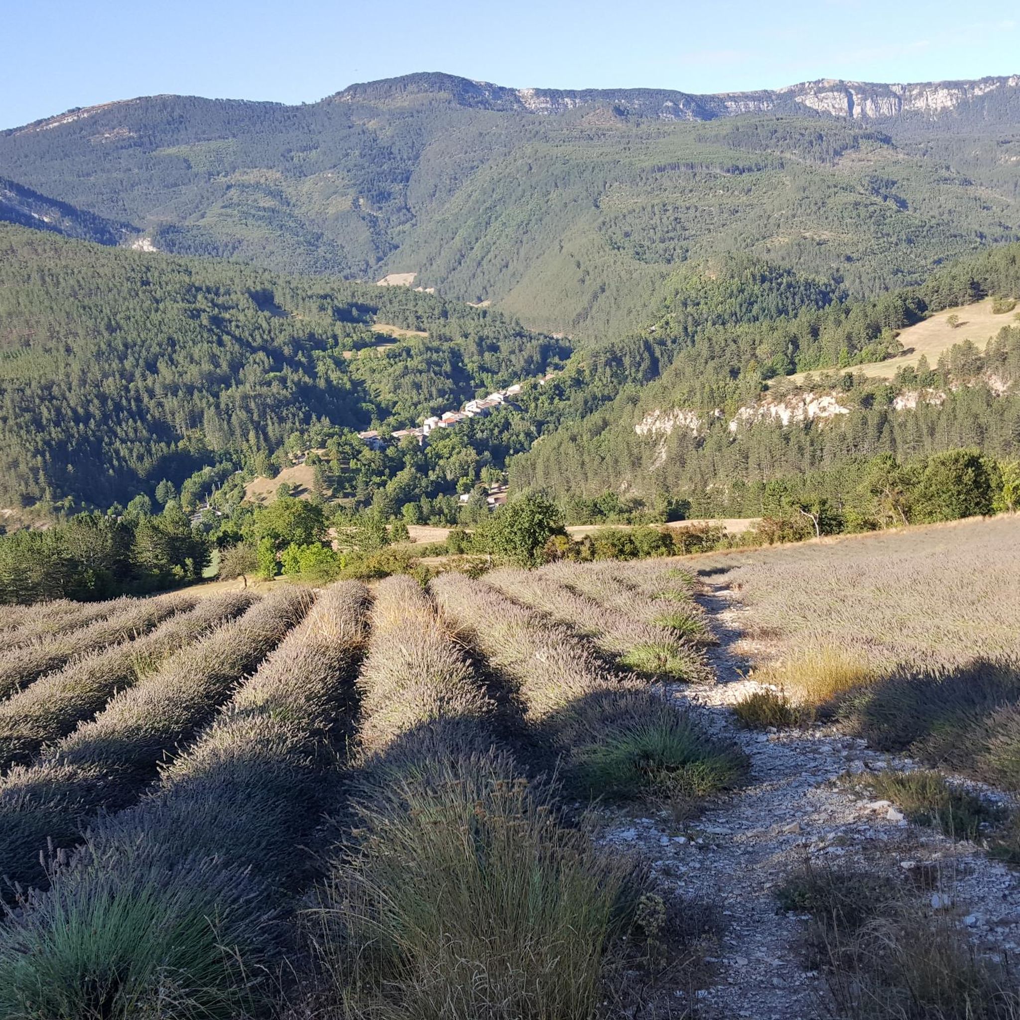
The Col de Carabès is a mountain pass located in the French Alps, on the border between the departments of Drôme and Hautes-Alpes.
12
0
Col de la Haute-Beaume is a small mountain pass located in the Hautes-Alpes department, in the Provence-Alpes-Côte d'Azur region, near the villages of La Haute-Beaume and La Beaume.
8
0
Col de Cabre is a mountain pass located in the southeast of France, between the departments of Drôme and Hautes-Alpes, in the regions Auvergne-Rhône-Alpes and Provence-Alpes-Côte d'Azur.
9
0

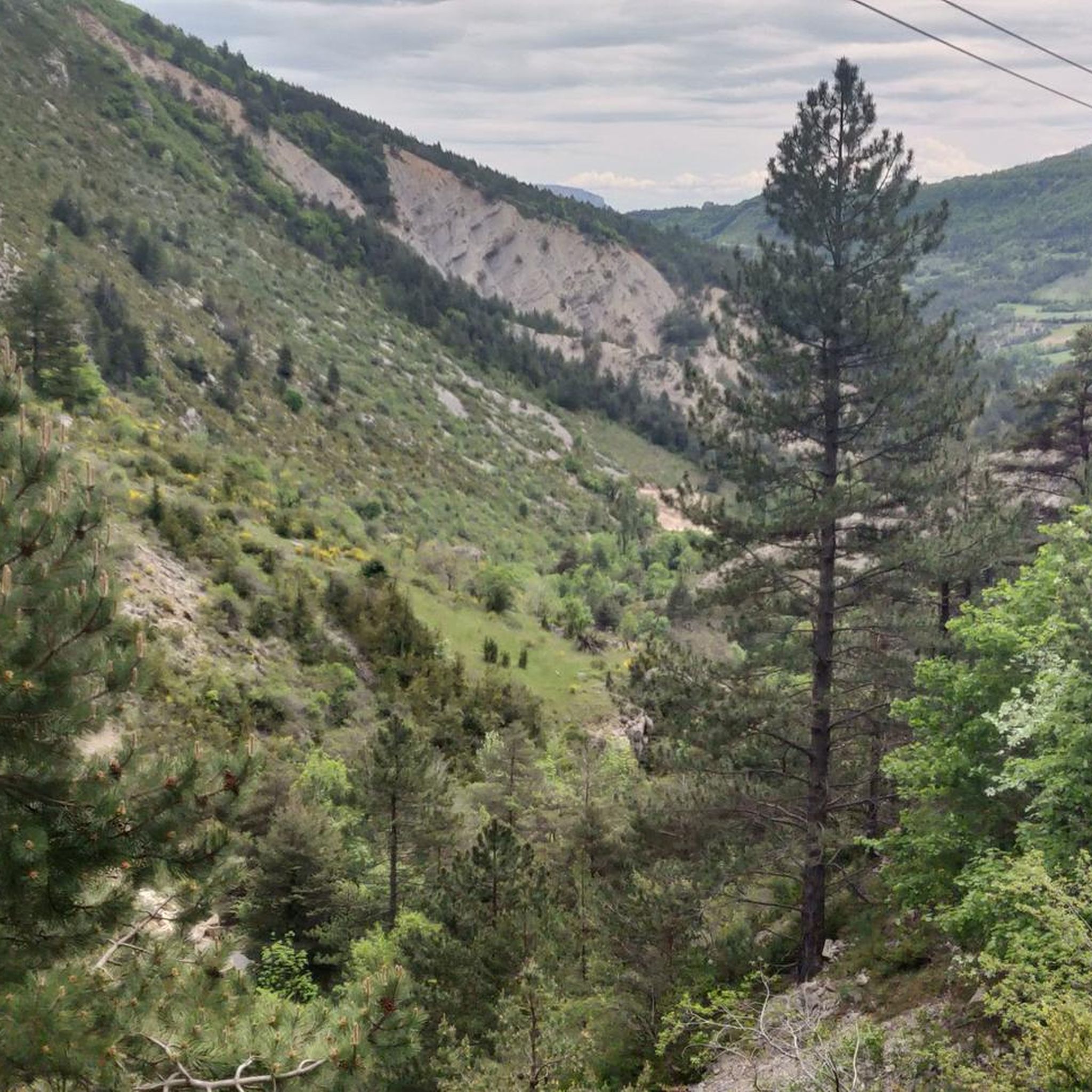
Much better alternative than the main road from the Drôme towards Gap. Almost no traffic, on average 4-5% on both sides, but short stretches also 7-8%. On the south side beautiful rock formations and gorge, north side less spectacular, more between trees.
4
0

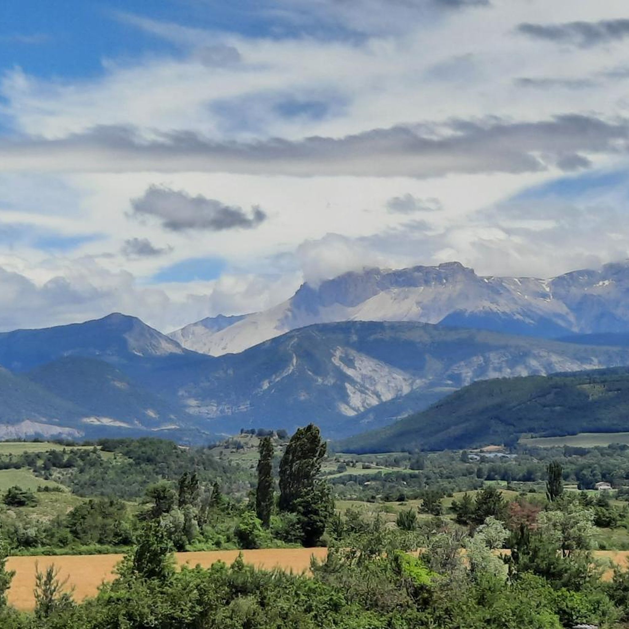
Very beautiful panorama on the Hautes Alpes side
4
0

To reach the pass, it takes around fifteen kilometers from the Oule valley. The slope becomes steeper from Montmorin where it is around 6%. The road winds between the mountains of Chauvet and Maraysse. The position offers a splendid view of these two mountains.
1
0
From Valdrôme, the Col de Rossas has 6.4 kilometers of ascent between 6.5 and 7%. It is located at an altitude of 1,115 meters in the Diois massif. The road is rather calm and it is not uncommon to come across sheep and goats in the surrounding pastures. In short, you are in a quiet corner. The place offers a superb view of the plateau where you have just climbed.
2
0

The Col de Carabès from Valdrôme is 9.7km long with an average gradient of 4.9%. From Sigottier the climb is 10.5km with an average gradient of 5.15%.
5
0
Frequently Asked Questions
What are the most notable mountain passes directly around La Bâtie-des-Fonds?
The most notable mountain pass directly associated with La Bâtie-des-Fonds is the Col de Carabès. It is situated at an altitude of 1,261 meters and serves as a natural boundary between the Drôme and Hautes-Alpes departments, offering serene natural beauty and panoramic views.
Which mountain passes offer the best panoramic views in the region?
For expansive and beautiful panoramic views, the Col de Carabès is highly regarded, especially from the Hautes-Alpes side. Another excellent option is the Col des Tourette (1126 m), which provides a splendid view of the Chauvet and Maraysse mountains.
Are there good cycling routes over the mountain passes near La Bâtie-des-Fonds?
Yes, the region is popular with cyclists. The Col de Carabès is a favored route, offering quiet roads and a beautiful journey. The ascent from Valdrôme is approximately 9.6 kilometers with an average gradient of 5%. You can find more cycling routes in the area, including gravel and road cycling options, by exploring the Cycling around La Bâtie-Des-Fonds guide.
What is the difficulty level of mountain passes around La Bâtie-des-Fonds?
The mountain passes in the region offer varying difficulty levels. For instance, the climb to Col de la Haute Beaume (1268 m) from La Faurie includes sections with gradients up to 10%, with the final 3 km featuring hairpin bends at around 6%. The Col de Carabès from Valdrôme has an average gradient of 4.9% over 9.7km. Cyclists and hikers can find routes catering to intermediate levels.
What unique natural features can I discover near these mountain passes?
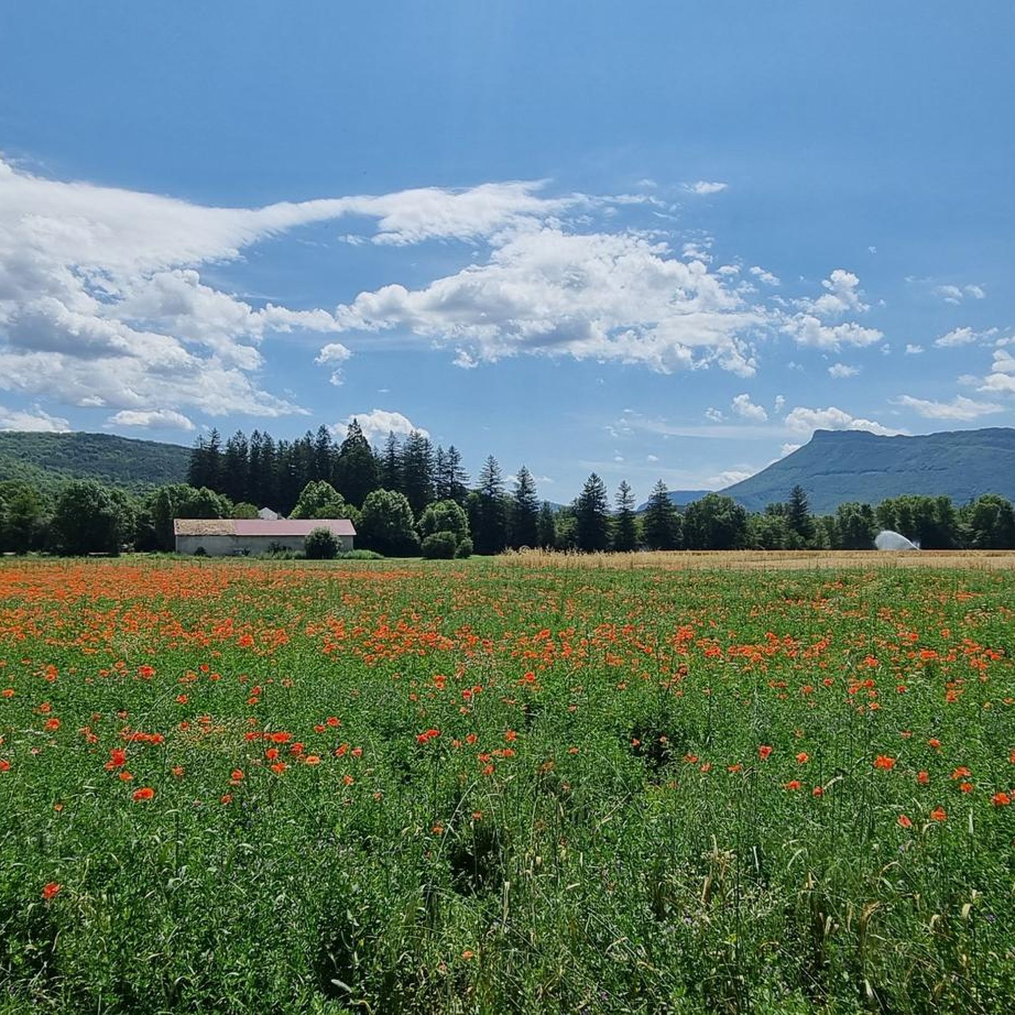
A unique geographical point of interest is the source of the Drôme river, located near La Bâtie-des-Fonds at the foot of the Col de Carabès. The pass itself is characterized by a serene natural environment, often adorned with vibrant flowers and butterflies.
Are there any mountain passes suitable for mountain biking?
Yes, the area offers mountain biking opportunities. For example, the Col de Rossas is part of the Diois massif and features calm roads where you might encounter sheep and goats. You can explore various MTB trails in the region through the MTB Trails around La Bâtie-Des-Fonds guide.
What is the best time of year to visit the mountain passes around La Bâtie-des-Fonds?
The region is best enjoyed during the warmer months when the passes are clear of snow and the natural environment is vibrant with flowers and butterflies. Spring and summer offer ideal conditions for cycling and hiking, allowing visitors to fully appreciate the serene landscapes.
Are there any gravel routes available near La Bâtie-des-Fonds?
Yes, there are gravel routes in the vicinity. The La Piarre to Col d'Arron Gravel Route is a notable option, allowing you to bypass the mountain of Lapus Duffre and the Valdrôme resort from the south. At the pass, you'll find a shelter for a break, though there is no water available.
What can I expect regarding the terrain and geology of the La Bâtie-des-Fonds region?
The region around La Bâtie-des-Fonds is characterized by mountainous terrain, nestled in the Drôme department. The passes often serve as natural boundaries between departments, indicating varied geological formations. The landscape is serene, with features like the source of the Drôme river highlighting its natural significance.
What do visitors appreciate most about the mountain passes in this area?
Visitors frequently appreciate the tranquility and scenic beauty of the mountain passes. The quiet roads, panoramic views, and the opportunity to connect with nature, such as at the Col de Carabès, are highly valued. The komoot community has contributed 54 upvotes and 9 photos, reflecting a strong positive sentiment for the area's offerings.
Are there any specific tips for cycling the Col de Carabès?
When cycling the Col de Carabès, be aware that while the road is generally quiet, some sections may present gravel and potholes. The ascent from Valdrôme is 9.7km long with an average gradient of 4.9%, offering a beautiful journey through nature. From Sigottier, the climb is 10.5km with an average gradient of 5.15%.
Where can I find more information about the La Bâtie-des-Fonds commune itself?
For more details about the small commune of La Bâtie-des-Fonds, you can visit its Wikipedia page: La Bâtie-des-Fonds on Wikipedia. You can also find information on the local tourism site: Diois Tourisme.
Most popular routes around La Bâtie-Des-Fonds
Most popular attractions around La Bâtie-Des-Fonds

Get inspired with the komoot mobile app


Explore more
See even more epic mountain passes by checking out these guides around La Bâtie-Des-Fonds:
