The best cycling routes around La Bâtie-Des-Fonds
4.3
(35)
389
riders
32
rides
Touring cycling around La Bâtie-Des-Fonds offers routes through a landscape characterized by mountain passes, river valleys, and varied terrain. The region features significant elevation changes, with routes often traversing cols and offering views of the surrounding natural environment. Many paths follow natural watercourses, providing diverse scenery for cyclists. The area provides a mix of challenging ascents and scenic descents suitable for touring bicycles.
Best touring cycling routes around La Bâtie-Des-Fonds
- The most popular touring cycling route is Col de Rossas…
Last updated: July 8, 2026
4.0
(1)
19
riders
51.8km
04:18
1,330m
1,330m
Hard bike ride. Very good fitness required. Mostly paved surfaces. Suitable for all skill levels.
13
riders
98.9km
07:01
1,880m
1,880m
Hard bike ride. Very good fitness required. Mostly paved surfaces. Suitable for all skill levels.

Sign up for free
8
riders
30.9km
02:00
350m
340m
Moderate bike ride. Good fitness required. Mostly paved surfaces. Suitable for all skill levels.
11
riders
31.5km
02:44
540m
540m
Hard bike ride. Very good fitness required. You may need to push your bike for some segments of this route.
10
riders
57.9km
04:20
1,290m
1,290m
Hard bike ride. Very good fitness required. Mostly paved surfaces. Suitable for all skill levels.
Get access to more routes and recommendations from other explorers.
Sign up for free
Already have an account?
Our route recommendations are based on thousands of hikes, rides, and runs completed by other people on komoot.
Start today with a free account
Your next adventure awaits.
Login or Signup
Tips from the Community

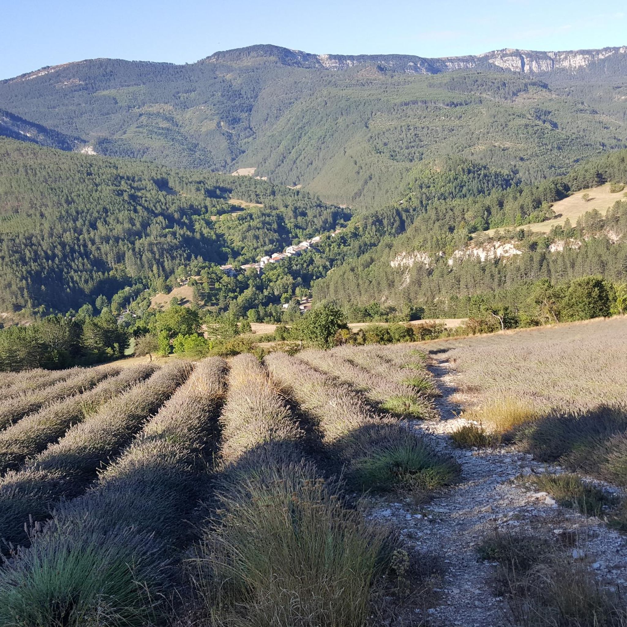
Here you can take different paths
13
0
It is therefore a pass of modest dimensions, rather constant but at times challenging – typical of the area: short, secluded and scenic.
8
0
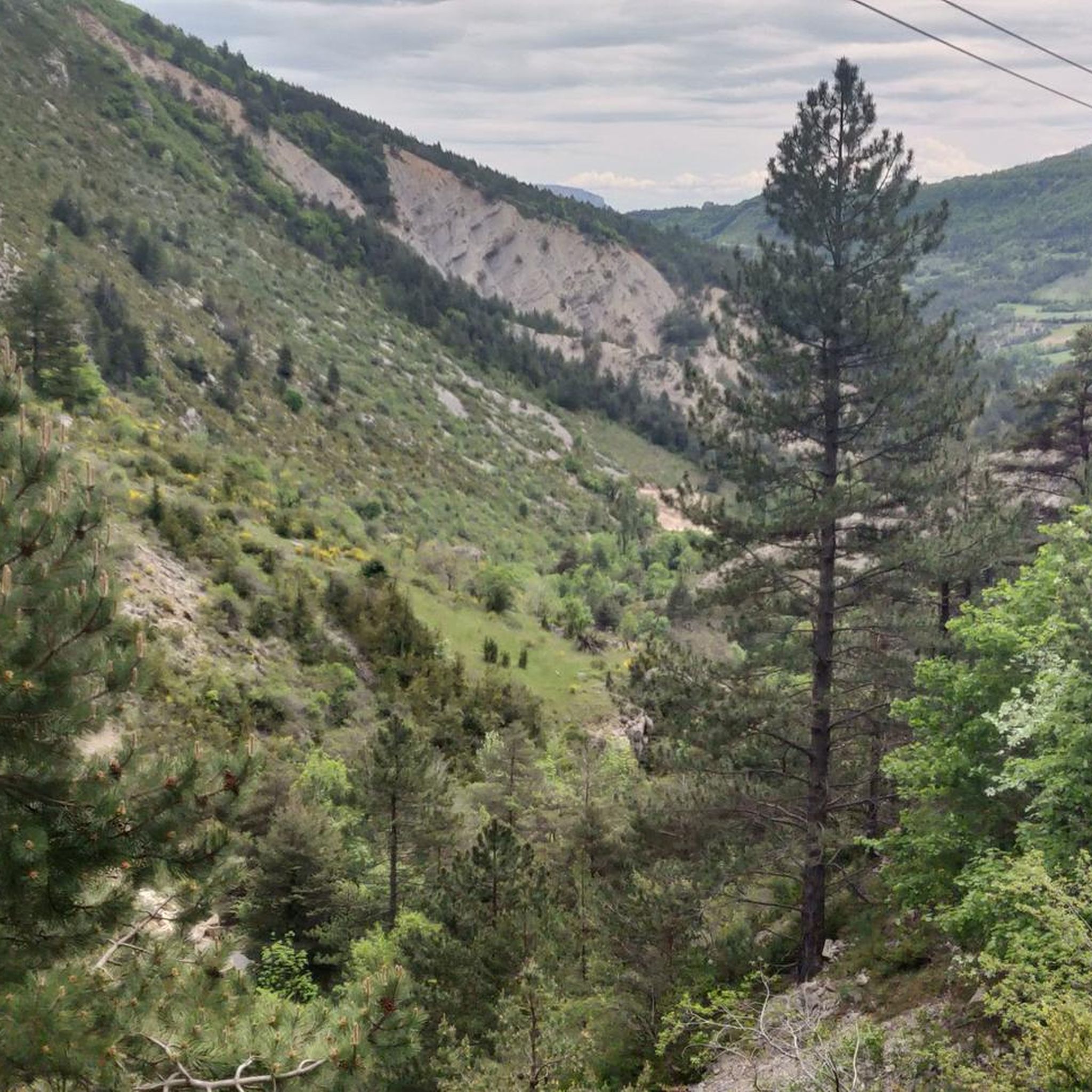
Col de Cabre is a mountain pass located in the southeast of France, between the departments of Drôme and Hautes-Alpes, in the regions Auvergne-Rhône-Alpes and Provence-Alpes-Côte d'Azur.
9
0
"Saint-Marcellin" is a common name for several small villages in France, but in the regions of Alpes-de-Haute-Provence and Hautes-Alpes (near you) it mainly indicates a typical mountain hamlet, present in municipalities such as Vars or Châteauroux-les-Alpes.
9
0
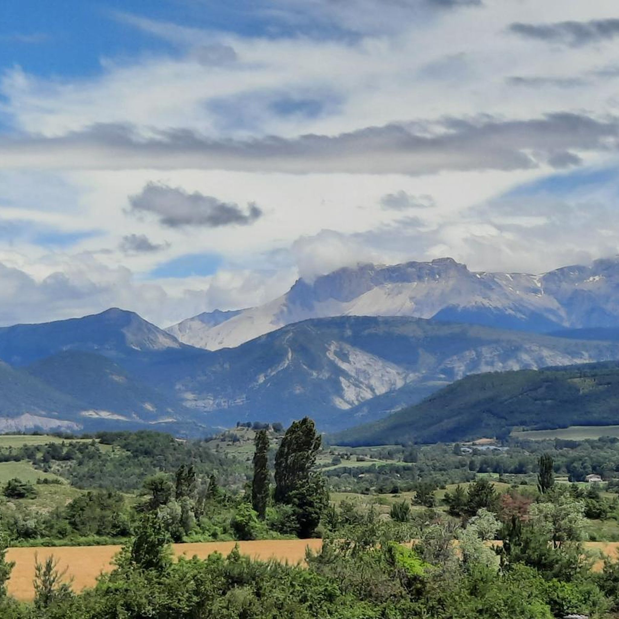
The view of Aujour (Montagne de l’Aujour) is one of the most spectacular panoramas in the area between the Alpes-de-Haute-Provence and the Sisteron area: a long limestone ridge that dominates valleys, hills and, on clear days, opens up to the Prealps and the Durance basin.
13
0
Colle di Cabre is an alpine pass located at an altitude of 1,180 meters, on the border between the French departments of Drôme and Hautes-Alpes, in the Auvergne-Rhône-Alpes region. It connects the Diois valley, to the west, with the Buëch valley, to the east, representing one of the main passages in the southern French Alps.
9
0


Feeling a little thirsty? Luckily, the fountain bar is here to help.
0
0
Frequently Asked Questions
How many touring cycling routes are available around La Bâtie-Des-Fonds?
There are over 30 touring cycling routes in the region, offering a variety of experiences through mountain passes and river valleys.
Are there any easy touring cycling routes suitable for beginners in La Bâtie-Des-Fonds?
While many routes feature significant elevation, there are a couple of easier options. For example, the View of L'Aujour – Old Ozé school loop from Aspremont is a moderate 30.8 km route with less climbing, making it a good choice for those looking for a less strenuous ride.
What are some of the longer touring cycling routes in the area?
For longer distances, consider the Cabre Pass (1,180 m) – Saut de la Drôme and the Claps loop from La Beaume, which spans nearly 99 km and includes significant mountain pass features. Another challenging option is the Col de Carabès – Gravel along the river loop from La Beaume, covering 83.5 km with gravel sections.
Are there any circular touring cycling routes around La Bâtie-Des-Fonds?
Yes, many routes are designed as loops. The Col de Rossas – La Charce Castle loop from Station de Valdrôme is a popular 51.8 km circular route that includes a significant climb and passes by a historic castle.
What kind of terrain can I expect on touring cycling routes in La Bâtie-Des-Fonds?
The region is characterized by varied terrain, including mountain passes, river valleys, and significant elevation changes. You'll encounter both challenging ascents and scenic descents, with some routes featuring gravel sections.
What are some scenic viewpoints or landmarks I can see along the routes?
The routes often offer views of the surrounding natural environment. You can pass by notable mountain passes like Col de Carabès, Col de la Haute Beaume (1268 m), and Col des Tourette (1126 m). Some routes also offer views of summits like Le Duffre (Montagne de l'Aup).
What do other touring cyclists enjoy the most about touring cycling in La Bâtie-Des-Fonds?
The area is highly rated by the komoot community, with an average score of 4.2 stars from over 30 reviews. Cyclists often praise the challenging ascents, varied terrain, and the scenic beauty of the mountain passes and river valleys.
Are there any advanced or difficult touring cycling routes for experienced riders?
Yes, the majority of routes in La Bâtie-Des-Fonds are rated as difficult, catering to experienced cyclists. The Col du Pignon loop from Saint-Pierre-d'Argençon is a challenging 31.5 km route with over 500 meters of elevation gain, ideal for those seeking a demanding ride.
What is the best time of year to go touring cycling in La Bâtie-Des-Fonds?
Given the region's mountain passes and potential for significant elevation, late spring through early autumn generally offers the most favorable weather conditions for touring cycling, avoiding snow at higher altitudes and extreme summer heat in valleys.
Are there any routes that follow rivers or water features?
Many paths in the region follow natural watercourses, providing diverse scenery. The Col de Carabès – Gravel along the river loop from La Beaume specifically highlights following a river, offering waterside views and a mix of surfaces.
What should I consider bringing for touring cycling in this region?
Due to the significant elevation changes and varied terrain, it's advisable to bring appropriate gear for mountain conditions, including layers of clothing, sufficient water, and navigation tools. Be prepared for both challenging climbs and potentially rapid descents.
Most popular attractions around La Bâtie-Des-Fonds

Get inspired with the komoot mobile app


Explore more
Browse the best Cycling routes in other regions.
