The best road cycling routes around La Bâtie-Des-Fonds
4.7
(71)
1,725
riders
28
rides
Road cycling routes around La Bâtie-Des-Fonds traverse a landscape characterized by significant elevation changes, mountain passes, and scenic valleys. The region offers challenging climbs and descents, with routes often leading through varied terrain. Road cyclists can expect to encounter a mix of open roads and winding paths, providing diverse experiences. The area's geography makes it suitable for those seeking demanding road cycling routes.
Best road cycling routes around La Bâtie-Des-Fonds
- The most popular road cycling route is Haut-Buëch Loop,…
Last updated: July 8, 2026
5.0
(1)
54
riders
74.5km
04:00
1,440m
1,440m
Challenge yourself on this difficult 46.3-mile road cycling route, climbing three cols at the border of Drôme and Hautes-Alpes.
4.5
(4)
535
riders
130km
06:30
2,120m
2,120m
Hard road ride. Very good fitness required. Mostly well-paved surfaces and easy to ride.

Sign up for free
4.7
(14)
292
riders
85.4km
04:08
1,120m
1,120m
Hard road ride. Very good fitness required. Some segments of this route may be unpaved and difficult to ride.
5.0
(4)
102
riders
64.7km
03:22
1,190m
1,190m
Hard road ride. Very good fitness required. Mostly well-paved surfaces and easy to ride.
56
riders
114km
05:46
1,860m
1,860m
Hard road ride. Very good fitness required. Mostly well-paved surfaces and easy to ride.
Get access to more routes and recommendations from other explorers.
Sign up for free
Already have an account?
Our route recommendations are based on thousands of hikes, rides, and runs completed by other people on komoot.
Start today with a free account
Your next adventure awaits.
Login or Signup
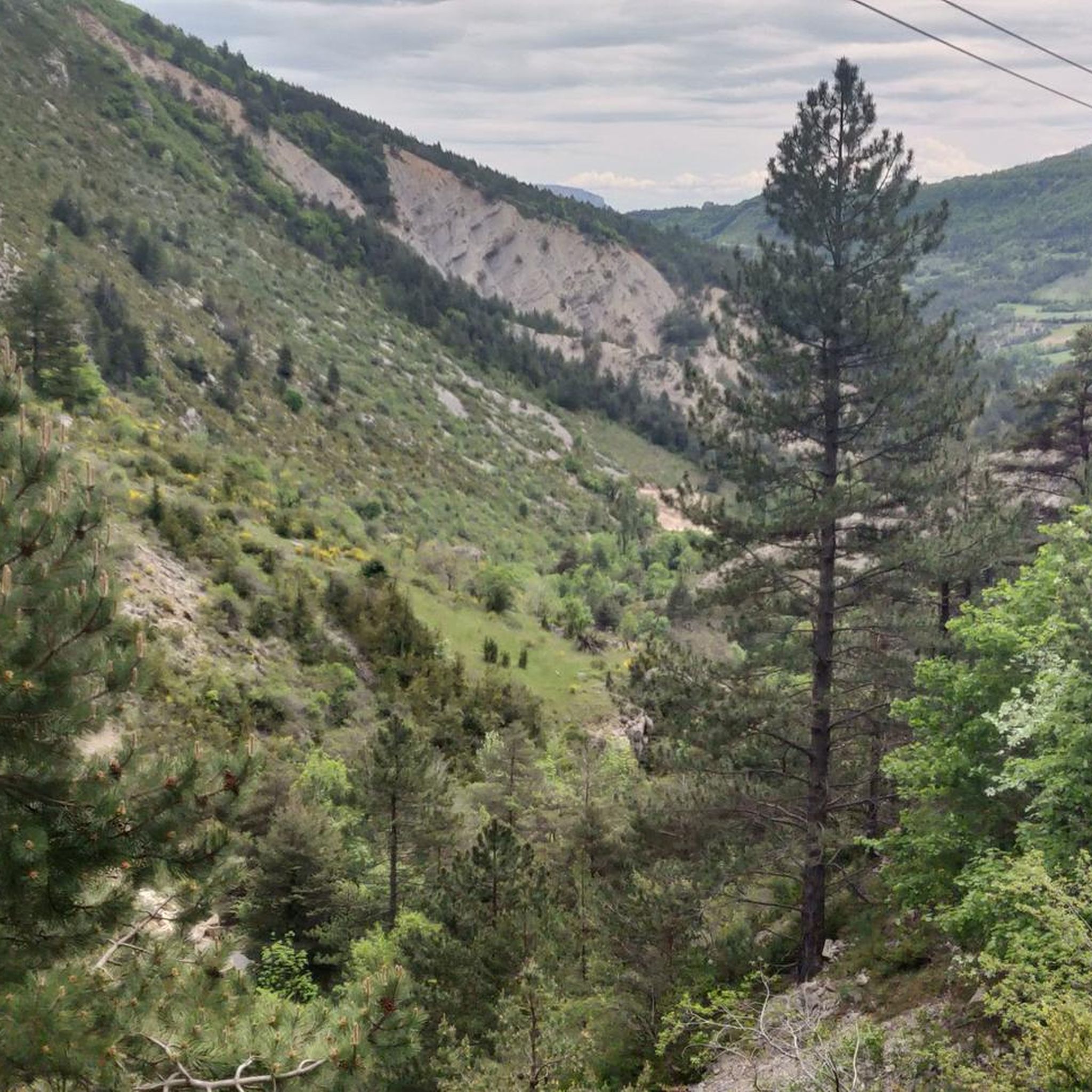
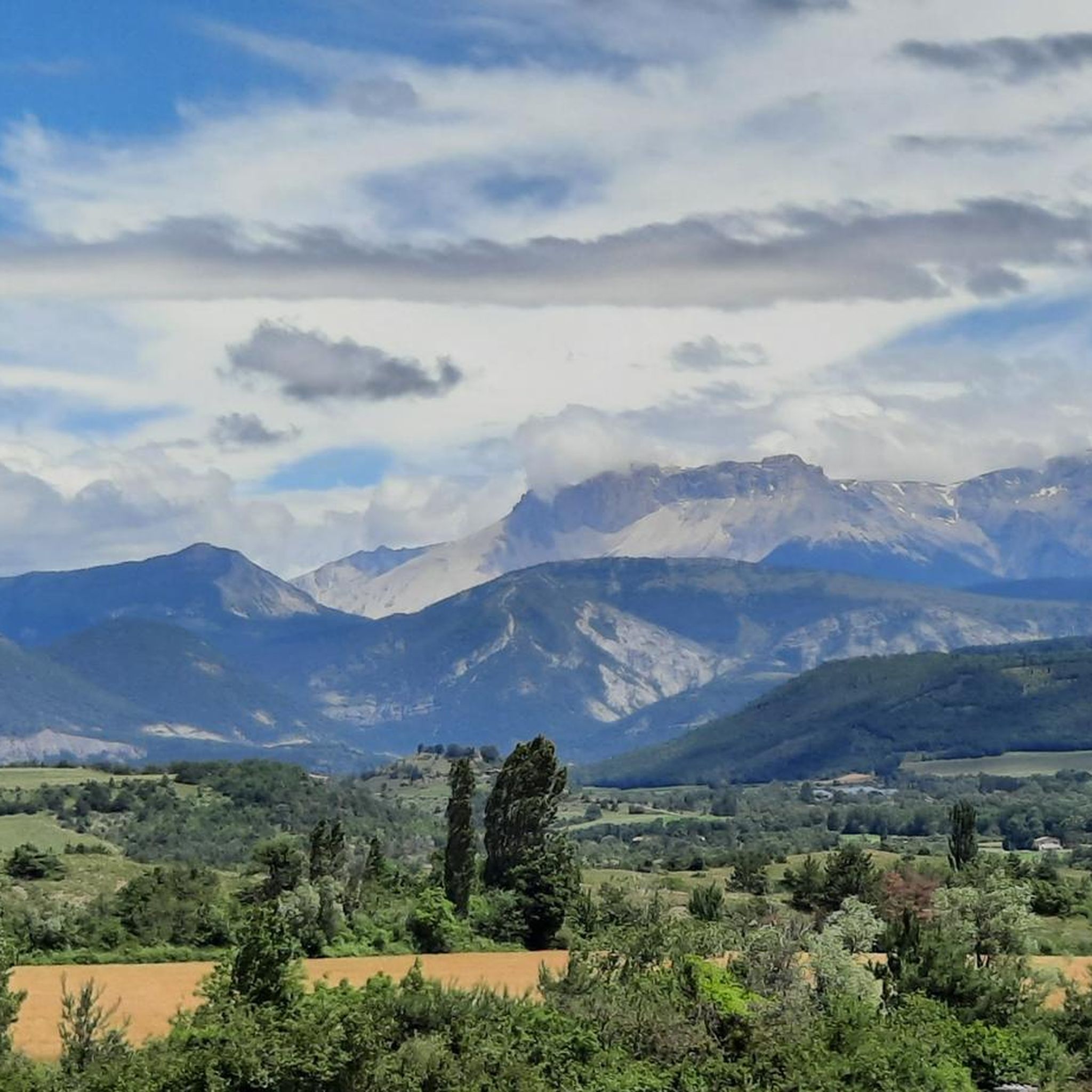
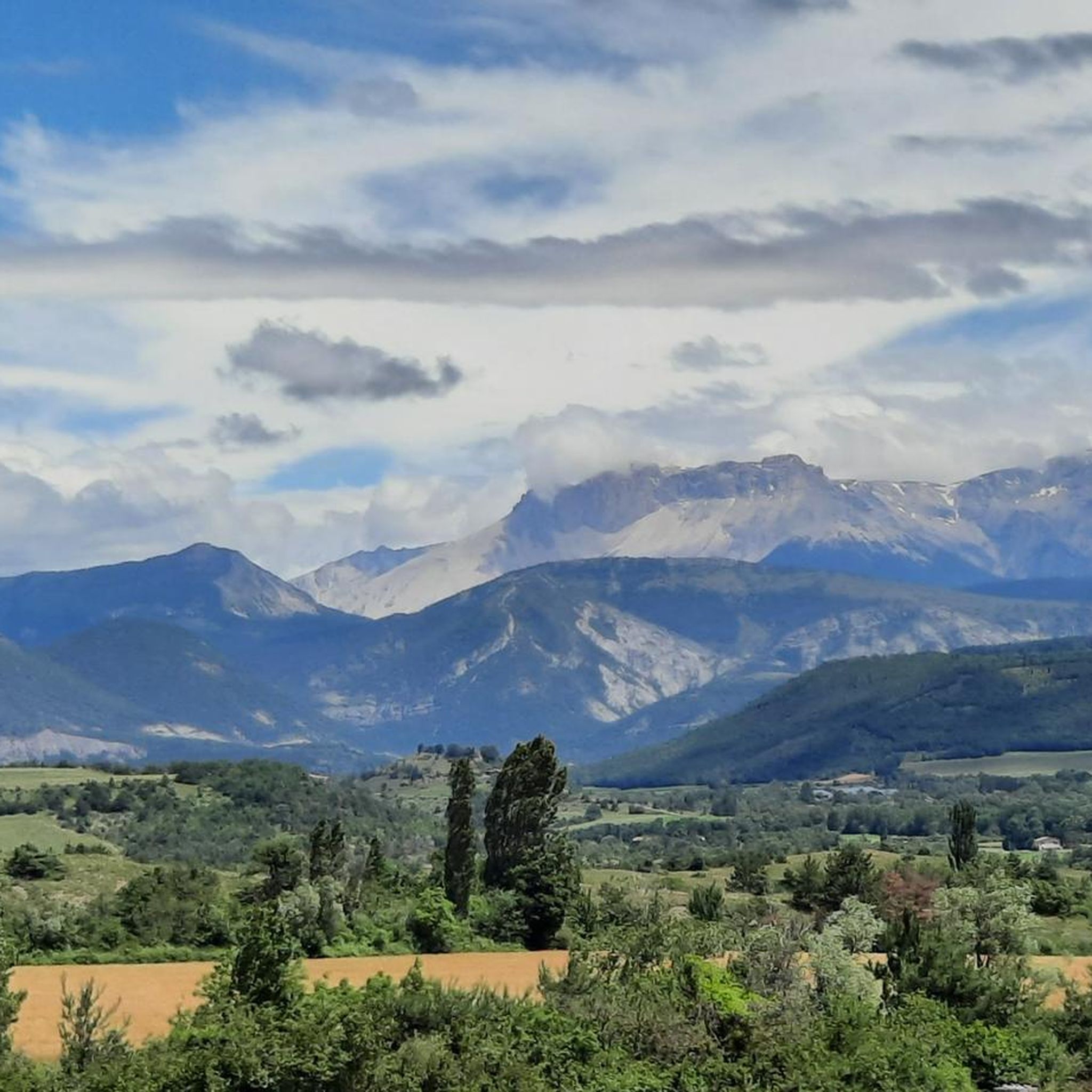
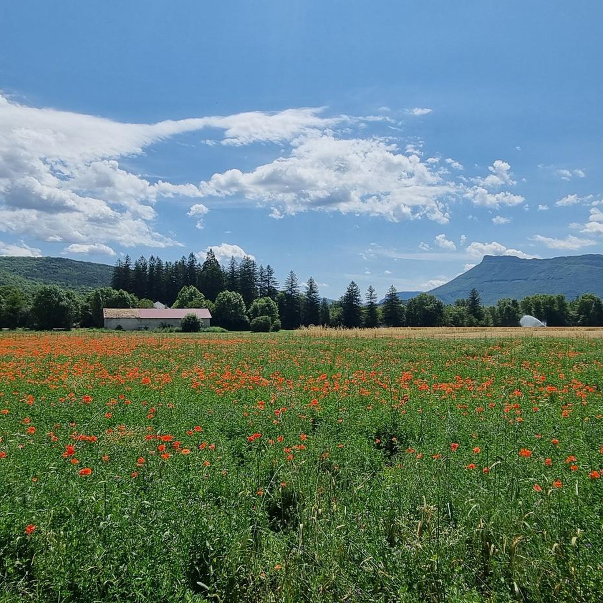
Tips from the Community

The Col d'Espreaux is a climb located in the Hautes-Alpes region. This climb is 12.2 km long, with a total elevation gain of 585 m. The Col d'Espreaux has an average gradient of 4.8%.
9
0
The water here is very good and fresh.
8
0
You can safely drink the water here.
8
0
Ascent on a secondary road, very easy slopes. Be careful of the slightly slippery asphalt.
3
0
The Col de Foureyssasse from La Saulce is a climb located in the Hautes-Alpes region. This climb is 7 km long, with a total elevation gain of 461 m. The Col de Foureyssasse from La Saulce has an average gradient of 6.6%.
7
0
Exceptional viewpoint for taking amazing photos
19
0
Road without traffic with perfect asphalt.
18
0
The Col de Carabès is a mountain pass located in the French Alps, on the border between the departments of Drôme and Hautes-Alpes.
13
0
Frequently Asked Questions
How many road cycling routes are available around La Bâtie-Des-Fonds?
There are over 30 road cycling routes documented around La Bâtie-Des-Fonds on komoot, offering a wide range of options for different skill levels.
Are there easy road cycling routes suitable for beginners in La Bâtie-Des-Fonds?
While the region is known for its challenging terrain, there are a few easier routes available. For instance, you can explore options that stay within valleys or have less significant elevation changes. The area offers 2 easy routes among its 30+ options.
What kind of challenges can I expect on advanced road cycling routes in this region?
Advanced routes around La Bâtie-Des-Fonds are characterized by significant elevation gains and challenging mountain passes. Routes like the Miscon Pass – Miscon Pass loop from Beaurières, with over 2,100 meters of ascent, offer demanding climbs and extensive views, making them suitable for experienced cyclists seeking a rigorous workout.
Are there any circular road cycling routes around La Bâtie-Des-Fonds?
Yes, many of the routes are designed as loops, allowing you to start and finish in the same location. Examples include the Haut-Buëch Loop and the Lake Pelleautier – Espréaux Pass loop from Aspres-sur-Buëch, which provide varied terrain and scenic returns.
What are the typical distances and durations for road cycling routes in the area?
Routes vary significantly. You can find shorter rides, such as the View of L'Aujour – Verniers Pass loop from La Bâtie-Montsaléon at around 39 km (24 miles) taking about 1 hour 50 minutes. Longer, more challenging routes can extend over 120 km (75 miles) and take upwards of 6 hours, like the Miscon Pass loop.
What scenic viewpoints or landmarks can I expect to see along the routes?
The region is rich in natural beauty and notable passes. Many routes offer panoramic views from mountain passes such as Col de Carabès, Col de la Haute Beaume (1268 m), and Col des Tourette (1126 m). You might also pass through charming villages or near natural features like Lake Pelleautier.
What is the best time of year for road cycling around La Bâtie-Des-Fonds?
The spring and autumn months generally offer pleasant temperatures and beautiful scenery for road cycling. Summer can also be excellent, especially at higher elevations, though some lower-lying areas might be warmer. Always check local weather conditions, particularly for mountain passes, which can be affected by snow or adverse weather outside of peak summer.
Are there any family-friendly road cycling options in La Bâtie-Des-Fonds?
For families, it's best to look for the easier routes that feature less elevation gain and are shorter in distance. While the region is predominantly known for its challenging terrain, some valley roads or designated paths might offer a more relaxed experience. Always check the route's difficulty and elevation profile before setting out with children.
What do other road cyclists enjoy most about cycling in La Bâtie-Des-Fonds?
The area is highly rated by the komoot community, with an average score of 4.8 stars from over 50 reviews. Cyclists often praise the challenging mountain passes, the diverse and scenic landscapes, and the rewarding descents. The variety of terrain, from open roads to winding paths, is also frequently highlighted.
Are there opportunities to stop for refreshments or cafes along the road cycling routes?
Many routes pass through or near small towns and villages where you can find local cafes, bakeries, or small shops to refuel. Planning your route to include stops in places like Aspres-sur-Buëch or other hamlets along the way is recommended for longer rides.
What are some notable mountain passes I can cycle over in the region?
The area is renowned for its mountain passes. Key passes include Col de Carabès, Col de la Haute Beaume (1268 m), and Col des Tourette (1126 m). These passes often form the highlights of many challenging road cycling tours, offering both physical tests and stunning views.
Most popular attractions around La Bâtie-Des-Fonds

Get inspired with the komoot mobile app


Explore more
Browse the best Road cycling routes in other regions.
