The best walks and hikes around La Bâtie-Des-Fonds
4.5
(29)
195
hikers
22
hikes
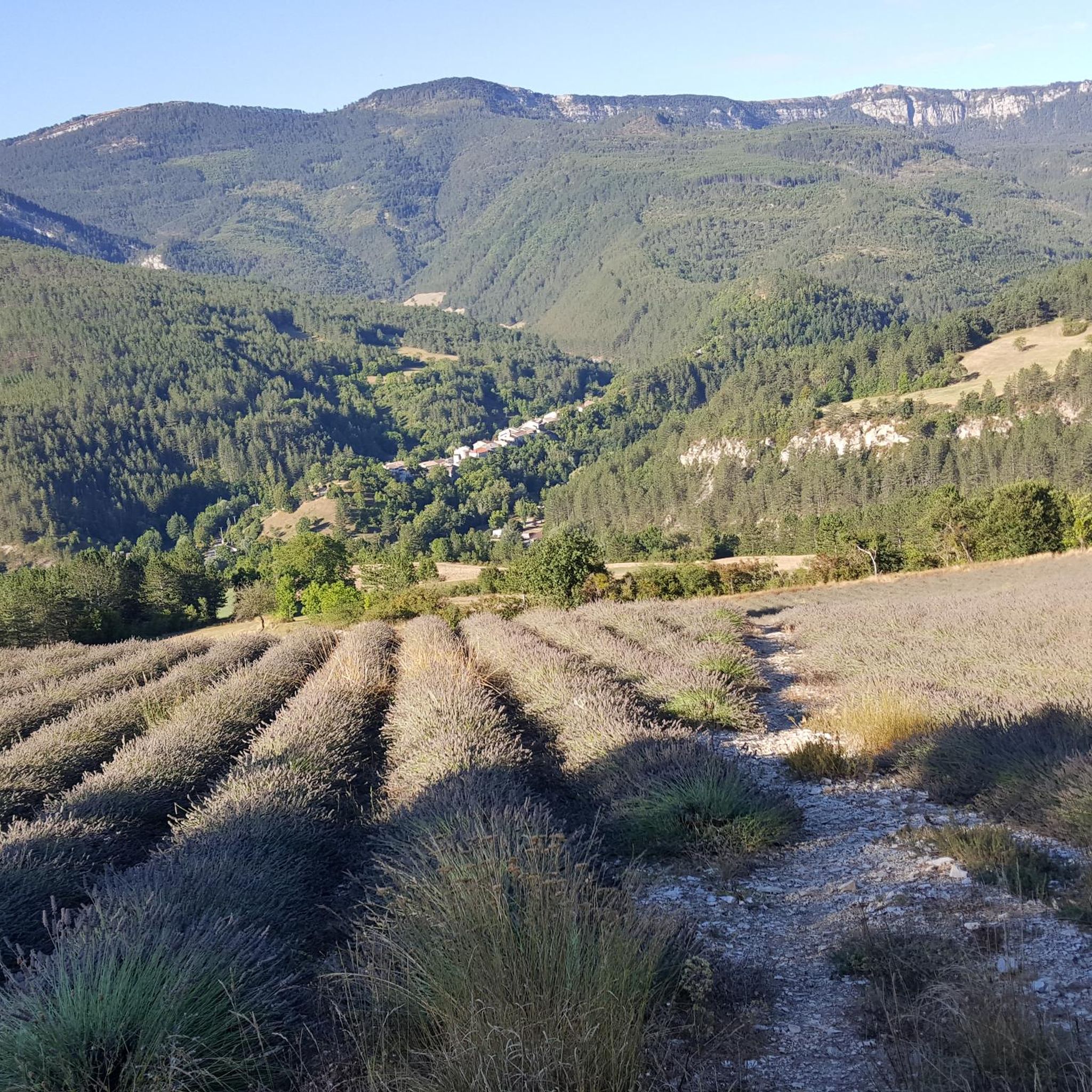
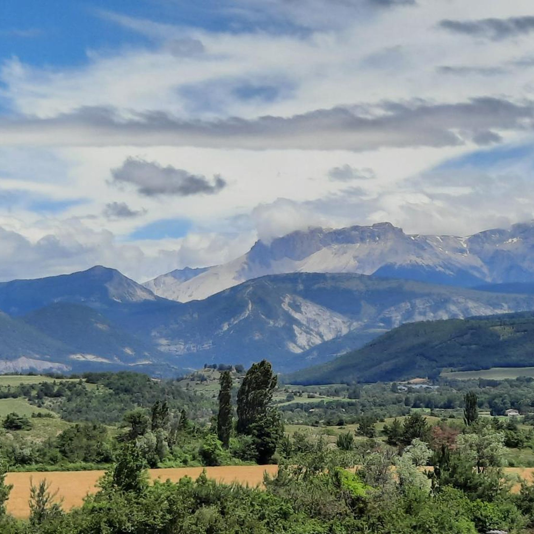
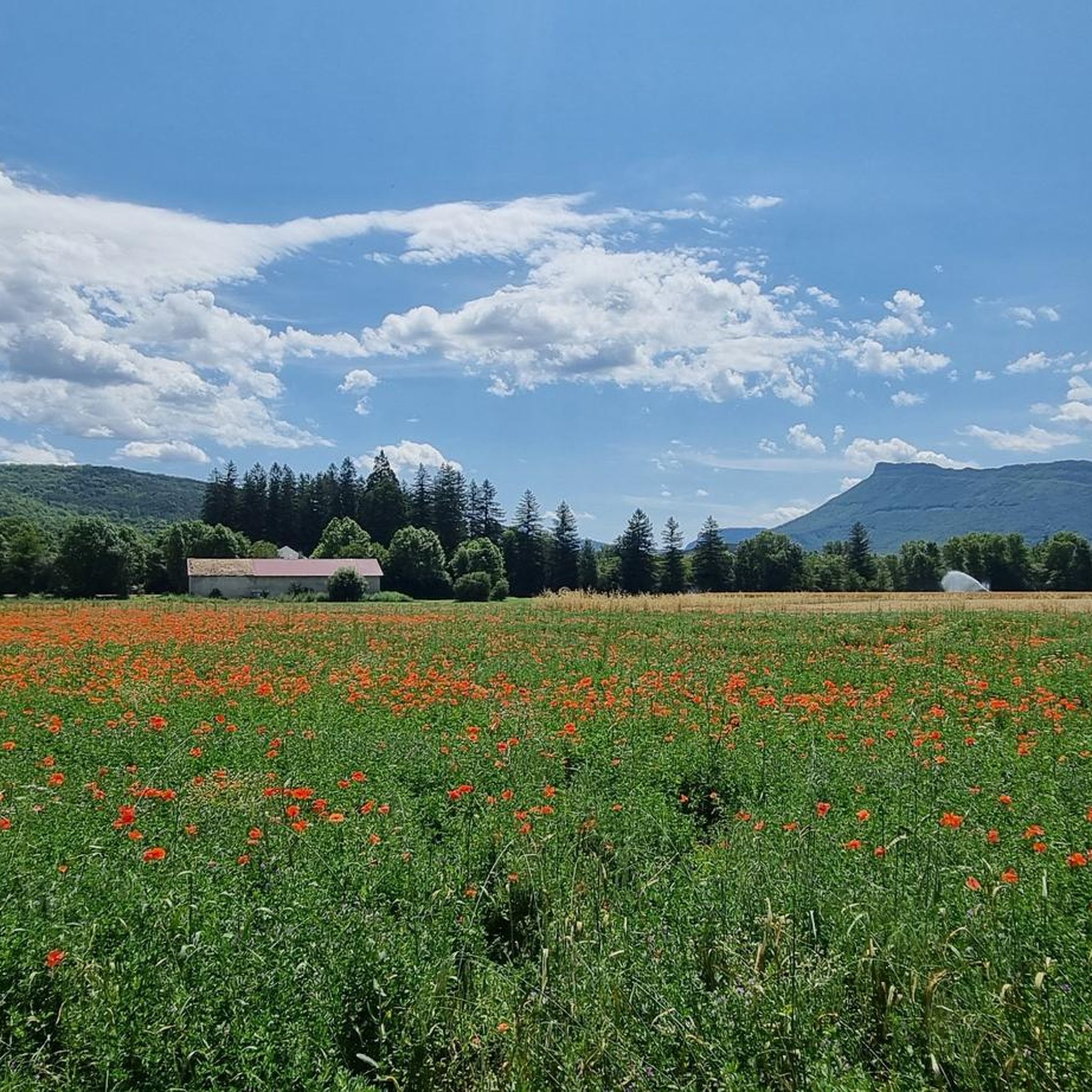
Hiking around La Bâtie-Des-Fonds offers diverse landscapes within the Drôme department, characterized by the source of the Drôme River, the last wild river in the Alps. The region features varied terrain, from the picturesque Pays Diois to mountain panoramas of the Southern Vercors, Devoluy, Ventoux, Écrins, and Southern Alps. Hikers can explore areas with dramatic cliff trails, extensive wetlands like the Marais des Bouligons, and unspoiled mountain cirques.
Best hiking trails around La Bâtie-Des-Fonds
- The most popular hiking route is…
Last updated: July 8, 2026
4.8
(5)
32
hikers
10.7km
03:32
450m
450m
Moderate hike. Good fitness required. Mostly accessible paths. Sure-footedness required.
4.8
(6)
26
hikers
12.0km
04:04
560m
560m
Moderate hike. Good fitness required. Mostly accessible paths. Sure-footedness required.

Sign up for free
17
hikers
12.2km
03:53
520m
520m
Moderate hike. Good fitness required. Easily-accessible paths. Suitable for all skill levels.
13
hikers
11.9km
03:55
530m
530m
Moderate hike. Good fitness required. Easily-accessible paths. Suitable for all skill levels.
5.0
(2)
6
hikers
18.6km
06:39
940m
940m
Hard hike. Very good fitness required. Mostly accessible paths. Sure-footedness required.
Get access to more routes and recommendations from other explorers.
Sign up for free
Already have an account?
Our route recommendations are based on thousands of hikes, rides, and runs completed by other people on komoot.
Start today with a free account
Your next adventure awaits.
Login or Signup
Tips from the Community

The Col de Carabès is a mountain pass located in the French Alps, on the border between the departments of Drôme and Hautes-Alpes.
11
0

Much better alternative than the main road from the Drôme towards Gap. Almost no traffic, on average 4-5% on both sides, but short stretches also 7-8%. On the south side beautiful rock formations and gorge, north side less spectacular, more between trees.
3
0

Very beautiful panorama on the Hautes Alpes side
3
0

The Col d'Aron culminates at an altitude of 1,450 meters. It is easily accessible by the forest track. A cabin provides shelter. Picnic tables are also nearby.
0
0

Lots of hikers, few mountain bikers but worth it. Some portions where you have to push the bike, the rest rolling well.
0
0

Also called Montagne de l'Aup, Le Duffre is located at an altitude of 1,757 meters and offers a beautiful panoramic view of the mountains and valleys!
1
0
From here we have a superb view of the ridge, the valleys and the mountains!
0
0

The Col de Carabès from Valdrôme is 9.7km long with an average gradient of 4.9%. From Sigottier the climb is 10.5km with an average gradient of 5.15%.
4
0
Frequently Asked Questions
How many hiking trails are available in La Bâtie-Des-Fonds?
There are over 20 hiking routes around La Bâtie-Des-Fonds, catering to various skill levels. The komoot community has recorded 23 tours in total, offering diverse experiences across the region.
What makes the hiking terrain around La Bâtie-Des-Fonds unique?
The terrain is incredibly diverse, ranging from the source of the Drôme River, known as the last wild river in the Alps, to dramatic cliff trails in the Gorges d'Agnielles. You'll also find extensive wetlands like the Marais des Bouligons and unspoiled mountain cirques within the Parc Naturel Régional du Vercors. Hikers are often rewarded with breathtaking 360-degree views of prominent massifs such as the Southern Vercors, Devoluy, Ventoux, Écrins, and the Southern Alps.
What do other hikers say about the trails in La Bâtie-Des-Fonds?
The trails in La Bâtie-Des-Fonds are highly rated by the komoot community, with an average score of 4.6 stars from over 20 reviews. Hikers often praise the varied terrain, the expansive mountain panoramas, and the unique natural features like the source of the Drôme River.
When is the best time of year to go hiking in La Bâtie-Des-Fonds?
The region offers beautiful hiking opportunities throughout much of the year. For exceptional flora and vibrant landscapes, particularly on trails like Le Duffre (Montagne de l'Aup), June is often highlighted as an ideal time. Spring and autumn also provide pleasant conditions with milder temperatures and stunning colors.
Are there any challenging hikes for experienced trekkers?
Yes, for experienced hikers seeking a challenge, there are several difficult routes. One notable option is the Le Duffre (Montagne de l'Aup) – View of the Ridges loop from La Piarre, which covers 18.6 km with significant elevation gain. The 'Circuit n°30 - Col de Carabès - Valdrôme sector' is also mentioned as a difficult 37.1 km route.
Are there any easy or family-friendly hiking options in the area?
Yes, the region offers easier walks suitable for families. The Marais des Bouligons, the largest wetland in the Drôme, features an easy walk on a raised decking path, perfect for exploring its unique ecosystem with children. While most komoot routes are moderate, the diverse landscape ensures there are accessible sections for less strenuous outings.
Can I find circular hiking routes in La Bâtie-Des-Fonds?
Yes, many of the popular trails in the area are circular. Examples include The Crests of la Sarcena – loop, Le Duffre loop, and Roc de Beauvent loop from La Bâtie-des-Fonds, all offering varied terrain and scenic views.
What natural features or viewpoints can I expect to see while hiking?
You can expect to encounter a wealth of natural beauty. Highlights include the source of the Drôme River with its interpreted route, the dramatic Gorges d'Agnielles with panoramic ledges, and the unique geological formations known as the Sucettes de Borne. Many trails, such as the Le Duffre loop, offer 360-degree panoramas of the surrounding massifs like the Écrins, Dévoluy, Vercors, and Mont Ventoux.
Are there any specific attractions or landmarks worth visiting near the trails?
Absolutely. Beyond the natural landscapes, you can explore several interesting points. The Col de Carabès is a notable mountain pass. The village of Serres offers historical heritage trails with views of the Buëch valley. For impressive summit views, consider visiting Le Duffre (Montagne de l'Aup).
Is public transport available to reach the hiking trailheads?
Information on specific public transport options directly to La Bâtie-Des-Fonds and its trailheads is limited. Given the small size of the village, it's advisable to plan for private transport or check local bus services to nearby larger towns like Valdrôme, and then arrange onward travel.
Where can I find parking for hiking trails in La Bâtie-Des-Fonds?
While specific parking areas for each trailhead are not detailed, generally, in rural areas like La Bâtie-Des-Fonds, you can often find parking near village centers or designated starting points for popular trails. It's recommended to check local signage or tour descriptions for precise parking information for your chosen route.
Are dogs allowed on the hiking trails in La Bâtie-Des-Fonds?
Many trails in the Drôme region are dog-friendly, especially if dogs are kept on a leash. However, as parts of the area are Natura 2000 zones (like the source of the Drôme River and Marais des Bouligons) and within the Parc Naturel Régional du Vercors, specific restrictions might apply to protect wildlife. Always check local regulations or signage at trailheads regarding dogs.
Are there any long-distance hiking opportunities in the region?
Yes, the region offers options for longer treks. While the guide focuses on day hikes, the mention of a difficult 37.1 km 'Circuit n°30 - Col de Carabès - Valdrôme sector' suggests that longer, multi-day or extended day hikes are possible, connecting various parts of the Pays Diois and surrounding massifs.
Most popular attractions around La Bâtie-Des-Fonds

Get inspired with the komoot mobile app


Explore more
Browse the best Hikes in other regions.
